GPX files from my rides, ready to load onto a bike computer. Click a route’s name or the download link to get the file, or follow the link to read how the ride went.
Algarve routes
- Silves, Alferce, Monchique, Rogil, Aljezur, Odiáxere Dam loop
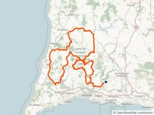 263.1 km · 3,952 m climbingUp to Alferce at sunrise and over Monchique, then on through Rogil and Aljezur to Odiáxere and the dam. Download GPX · Featured in: Forty-Three Climbs
- Silves, Algoz, Loulé, Querença, Alte, Arade Dam loop
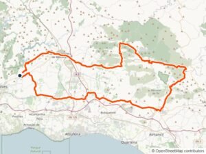 117.6 km · 1,541 m climbingA so-called rest day from Silves through Algoz, Loulé and Querença to Alte, finishing at the Arade Dam. Download GPX · Featured in: A Rest Day in the Hills
- Silves, Algoz, Quarteira, Albufeira, Benagil, Carvoeiro loop
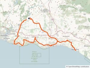 111.1 km · 1,112 m climbingFrom Silves to Quarteira and back along the coast by Albufeira, Benagil and Carvoeiro. Download GPX · Featured in: Five Beaches in a Day
- Silves, Cabo de São Vicente, Salema, Lagos loop
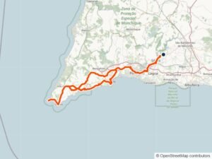 164.7 km · 1,758 m climbingWest from Silves to the lighthouse at Cabo de São Vicente, then back by Salema and Lagos. Download GPX · Featured in: To the Edge of Europe
- Silves, Faro, Tavira, Vila Real de Santo António, Beliche, Benafim loop
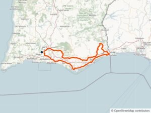 255.8 km · 2,625 m climbingEast through Faro and Tavira to Vila Real de Santo António on the Guadiana, then home through the hills by Beliche and Benafim. Download GPX · Featured in: To the Spanish Border and Back
- Silves, Fóia, Ourique, Castro Verde, Almodôvar, Pico do Mú loop
 224.5 km · 3,106 m climbingOver the Algarve’s highest point and north into the Alentejo to Ourique and Castro Verde, home by Almodôvar and Pico do Mú. Download GPX · Featured in: Over Fóia to the Alentejo
- Silves, Monchique, Aljezur, Vila do Bispo, Lagos loop
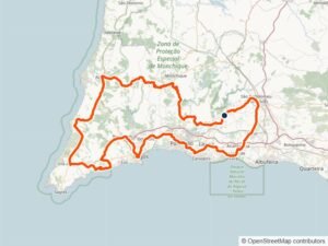 214.8 km · 2,392 m climbingOver Monchique to Aljezur and Vila do Bispo, coming home by Lagos. Download GPX · Featured in: Cork Trees, Turbines and Cobbles
- Silves, Portimão, Praia da Rocha, Alvor, Alcalar, Casas Velhas loop
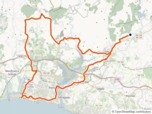 72.8 km · 640 m climbingAn easier day on the N124-1 to Portimão, Praia da Rocha and Alvor, back by Alcalar and Casas Velhas. Download GPX · Featured in: A Rest-Day Spin to Alvor
- Silves, São Marcos da Serra, Alferce, Porto de Lagos, Carvoeiro loop
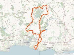 121.3 km · 1,857 m climbingUp from Silves to São Marcos da Serra and Alferce, then down by Porto de Lagos to Carvoeiro. Download GPX · Featured in: Castle, Climbs and Carvoeiro
Lot routes
- Cahors, Arcambal, Lapeyre, Saint-Cirq-Lapopie, Bouziès, Vers loop
 61.2 km · 473 m climbingUp the Côte d’Arcambal onto the causse to Saint-Cirq-Lapopie, then home on my favourite cliff road from Bouziès to Vers. Download GPX · Featured in: Saint-Cirq-Lapopie and the Cliff Road
- Cahors, Lalbenque, Belfort-du-Quercy, Flaugnac, Castelnau-Montratier loop
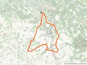 76.9 km · 943 m climbingSouth over the causse through Lalbenque to the domed church at Castelnau-Montratier, and home to the Pont Valentré. Download GPX · Featured in: Castelnau and the Pink Bridge
- Cahors, Mercuès, Caillac, Crayssac, Caïx, Catus, Calamane loop
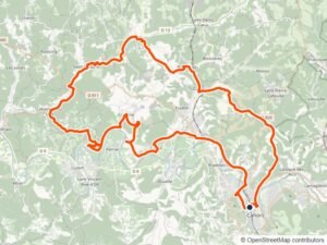 61.2 km · 925 m climbingPast Mercuès and Caillac to Crayssac and Catus, with the last villages back to Cahors in the dark. Download GPX · Featured in: Vineyards into the Dark
- Cahors, Mercuès, Gourdon, Saint-Julien-de-Lampon, Souillac, Payrac loop
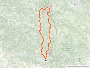 138.3 km · 1,733 m climbingNorth through Gourdon to the Dordogne at Souillac, and back over the Col de Grézelade. Download GPX · Featured in: Down to the Dordogne
- Cahors, Mont Saint-Cyr, Laburgade, Cremps, Aujols, Arcambal loop
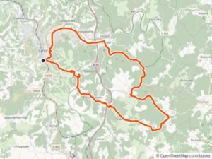 47.0 km · 594 m climbingStraight up the Côte du Mont-Saint-Cyr out of Cahors, then round the causse by Laburgade, Cremps and Aujols to Arcambal. Download GPX · Featured in: Filling the Gaps on the Causse
- Cahors, Vers, Labastide-Murat, Carlucet, Rocamadour loop
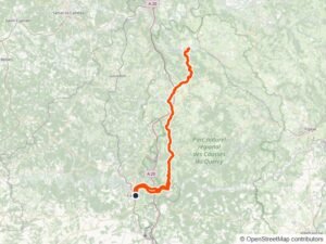 131.1 km · 1,717 m climbingAlong the cliff road to Vers, up to Labastide-Murat and on to Rocamadour, the finale of my week in the Lot. Download GPX · Featured in: A Quick Spin to Rocamadour
- Luzech, Albas, Puy-l’Évêque, Bélaye, Sauzet loop
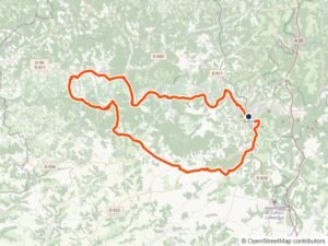 84.3 km · 940 m climbingAlong the river through Luzech and Albas to Puy-l’Évêque, then up to Bélaye and across the plateau around Sauzet. Download GPX · Featured in: Meanders of the Lot
Loire Valley routes
- Orléans, Saint-Hilaire-Saint-Mesmin, Meung-sur-Loire, Dry, Cléry-Saint-André loop
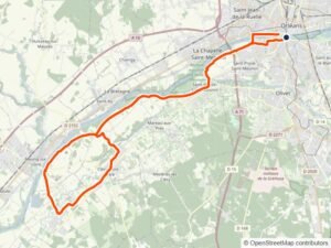 47.9 km · 183 m climbingWest along the Loire levée from Orléans to Meung-sur-Loire, then south to Dry and Cléry-Saint-André. Download GPX · Featured in: Racing the Dark to Cléry
- Orléans, Saint-Jean-le-Blanc, Saint-Denis-en-Val, Saint-Cyr-en-Val, Gautray loop
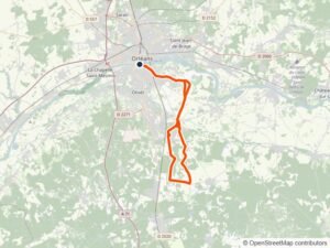 47.2 km · 202 m climbingOver the Loire from Orléans and through the farmland on cycle paths to Saint-Cyr-en-Val and Morchêne. Download GPX · Featured in: Cycle Lanes to Morchêne
- Savonnières, Villandry, Druye, Ballan-Miré, Joué-lès-Tours loop
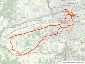 56.1 km · 319 m climbingBeside the Cher past Joué-lès-Tours to Savonnières and Villandry, then up to the plateau and back to Tours. Download GPX · Featured in: Châteaux on the Cher
Kent routes
- Hunton, Chainhurst, Marden, Stilebridge Lane, Church Hill loop
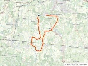 27.1 km · 183 m climbingChainhurst to Marden on flat lanes, north up Stilebridge Lane and back onto the ridge over Church Hill. Download GPX · Featured in: Midnight Traffic in the Fog · A Soaking Start to Leave
- Hunton, Staplehurst, Headcorn, Egerton, Greensand Ridge loop
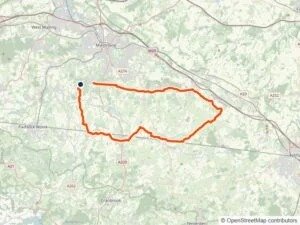 51.6 km · 359 m climbingAcross the Weald through Staplehurst and Headcorn to Egerton, up Rock Hill Road and home along the Greensand Ridge. Download GPX · Featured in: Egerton by Headlight
- Hunton, Yalding, Laddingford, Nettlestead, Wateringbury, Bow Hill loop
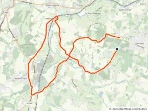 26.4 km · 246 m climbingDown Hunton Hill to Yalding, then Laddingford and Nettlestead, with Bow Hill and Yalding Hill on the way home. Download GPX · Featured in: Switching Directions
- Ulcombe, Smarden, Headcorn, Babylon Lane, Wierton Hill loop
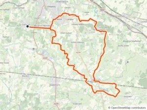 50.2 km · 308 m climbingDown off the ridge to Smarden and Headcorn, back along Babylon Lane and up Wierton Hill. Download GPX · Featured in: Warm Mist on Wierton Hill · A Mild Night on Babylon Lane
- West Farleigh, Yalding Hill, Nettlestead, Laddingford, Collier Street, Church Hill loop
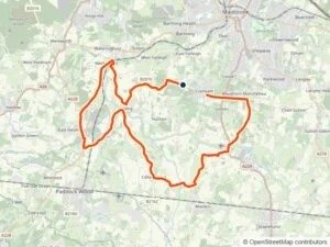 37.1 km · 250 m climbingFrom West Farleigh over Yalding Hill to Nettlestead and Laddingford, then Collier Street and East Peckham, along Gravelly Ways and past Stilebridge Lane, and home up Church Hill. Download GPX · Featured in: Midnight on Church Hill · Eight Vehicles in the Dark
- Yalding, Nettlestead, Hale Street, Laddingford, Hunton Hill loop (CC)
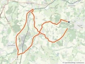 25.2 km · 242 m climbingCounterclockwise (CC): Yalding to Nettlestead and Laddingford on the flat, finishing with the climb of Hunton Hill. Download GPX · Featured in: Half Moon over Hunton Hill