Ride 245 of the year and day 125 of the streak started at 23:26 on a Wednesday night in the middle of October. It was cloudy and 13°C, with 92% humidity and hardly any wind. I’d only rolled in from 163 km out to Dungeness in the small hours of that same morning, so this was only ever going to be an easy one. The streak needed its day, and the legs had already done plenty.
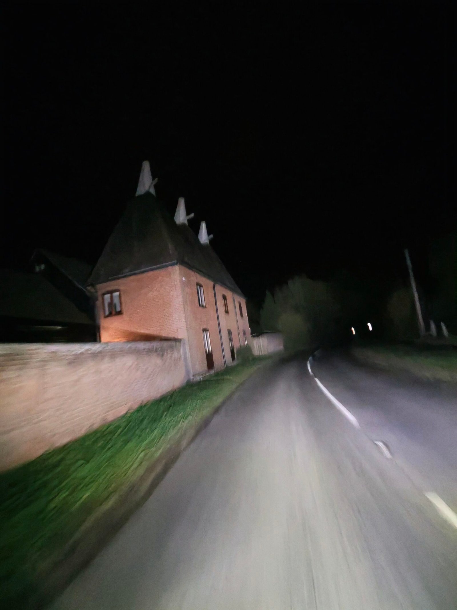
I went west along the ridge past West Farleigh, and at the top of Yalding Hill my headlight picked out the Downs View and Orchard oasts as I passed, their white cowls standing against the black sky. Then it was down the hill without turning a pedal. The clip I took on the way shows nearly 49 km/h with my heart rate at 65, which is about as restful as cycling gets.
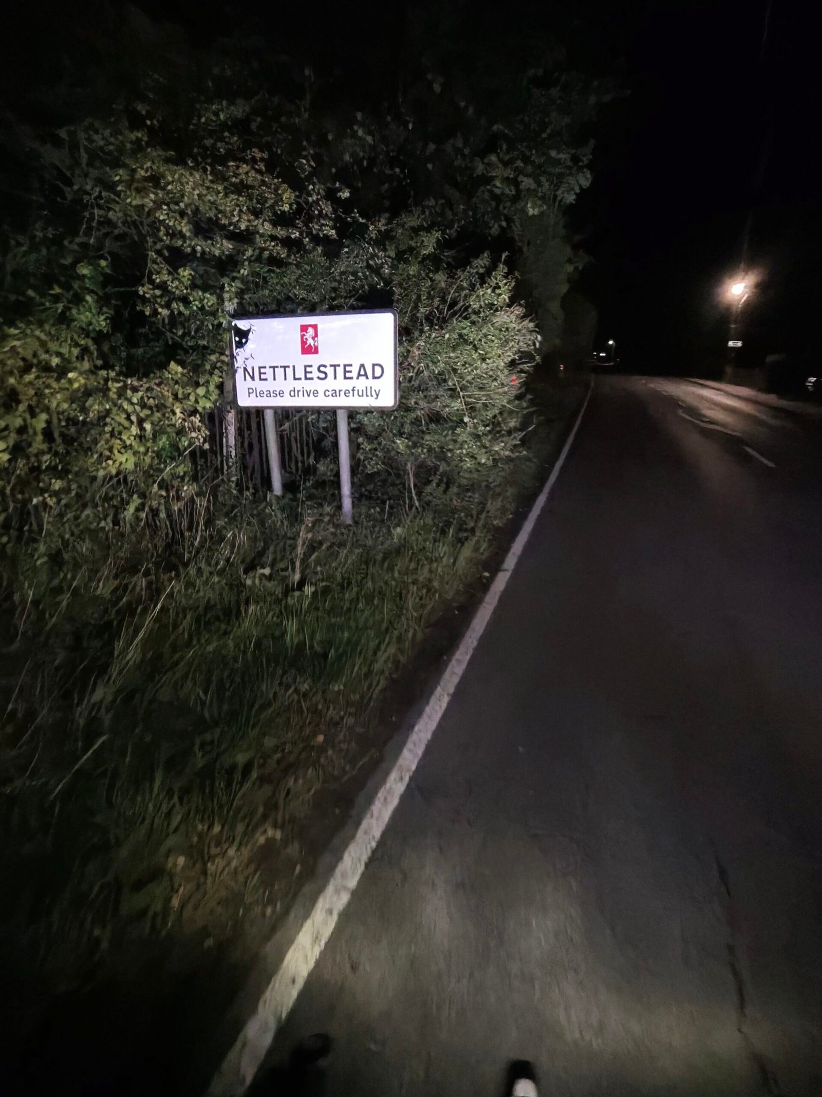
Kenward Road was the first thing resembling work, just over a kilometre at 3%, before the road fell away again towards Wateringbury and the Medway valley. I turned onto Maidstone Road at the bottom, and at seven minutes to midnight the Nettlestead sign lit up in the headlight.
A short rise took me through the village, then it was south past Hale Street, and that was the hills done for a while. For the next 18 km the road barely changed height by more than a few metres.
I followed Gravelly Ways to Laddingford, then went on through Benover to Collier Street and along Green Lane, with the power around 100 W, the heart rate around 90 and the speed sitting at about 23 km/h. Nothing about it was exciting, and that was the point.
North of Marden I took Tilden Lane and Stilebridge Lane, still in the dark and still almost alone: 8 vehicles passed me in the whole ride.
Then came Lower Farm Road and Church Hill, the one climb of the night that Garmin gives a category: 1.5 km at 6%, Cat 4. The full segment took me 10:08 at 188 W, and on the steepest 800 m I held 229 W for 4:44, as hard as the night got. Back on this loop less than a fortnight later, in Midnight on Church Hill, I’d push 308 W up that same ramp, so this really was the gentle version.
From the top at Boughton Monchelsea it was back west along Heath Road, and I was home at about a quarter past one, with a Relative Effort of 15 and a heart rate that never got past 126. The next night I’d be out again for a mild night on Babylon Lane. Eight vehicles, three oasts and the streak a day longer: that’ll do for a Wednesday night.
The numbers
- Ride: #1116 on Strava, ride 245 of 2026, day 125 of the streak
- Distance: 37.1 km
- Moving time: 1:44:41 (1:47:01 elapsed)
- Elevation: 250 m
- Average power: 106 W
- Heart rate: 92 bpm average, 126 max
- Cadence: 85 rpm average
- Calories: 809 kcal
- Highlight: Church Hill – 2.16 km, 101 m, 10:08 at 188 W
- Oasts: 3
- Conditions: dark, cloudy, 12.9°C, 92% humidity, a light southerly wind
- Year to date: Distance 20,256 km, Elevation Gain 207,234 m
The route
Download the GPX (start and finish trimmed for privacy)
The profile and climbs
2 climbs: 1 Cat 4, 1 uncategorised. Biggest: 1.5 km at 6%, 91 m of climbing (Cat 4, from km 32). Together the climbs account for 123 m of the ride’s ascent.
Cat 4 Uncategorised Pins mark where each Garmin ClimbPro climb starts. Hover or tap a pin for details.
Climbs table
| # | Starts at km | Length | Ascent | Avg grade | Time | Avg power | Category |
|---|---|---|---|---|---|---|---|
| 1 | 7.4 | 1.07 km | 32 m | 3% | 4:11 | 152 W | Uncategorised |
| 2 | 31.5 | 1.51 km | 91 m | 6% | 7:52 | 203 W | Cat 4 |
Every town, café, beach and landmark from my rides is collected on the Links page.