
Day four in the Algarve, and the big one. I rolled out of Silves at twenty to seven with a simple plan: ride east along the coast to the Spanish border, then find a way home through the hills. It was cool for once, about 20°C and damp, and the sky was still grey and pink when I passed a ruined windmill on the edge of Ferreiras.
The outbound leg was flat and fast. Through Algoz and Tunes and down to Faro, where I stopped in the square by the marina for a selfie with the town sign and a long break before the next stretch. I was back in the Maglia Azzurra, the Giro’s blue mountains jersey, and the hills on the way home would make me earn it.
From Faro the N125 ran east through Olhão, past a towered house painted from top to bottom in murals, and on to the white church at Luz de Tavira. A quick pause on the edge of Tavira, then the same easy rhythm through Conceição, Cacela and Altura.

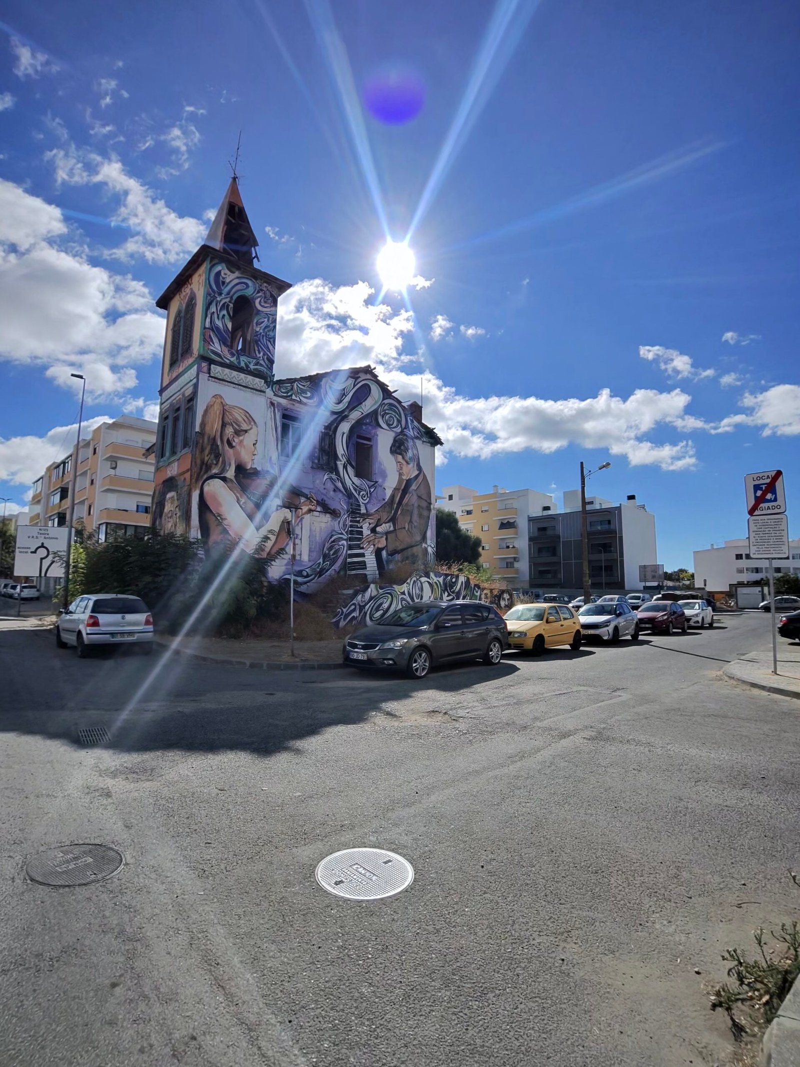
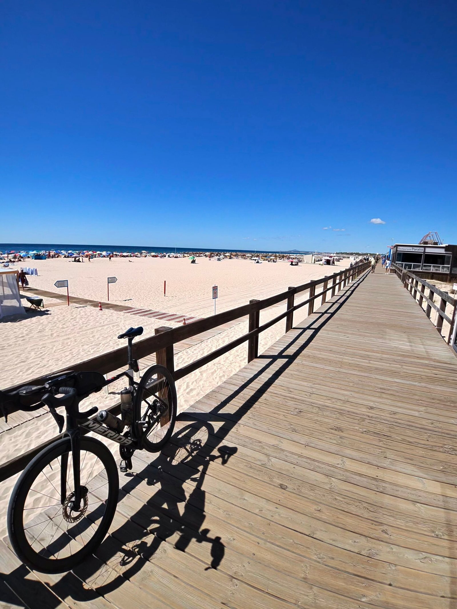
The N125 is not a quiet road: by the end of the day my radar had counted 986 vehicles passing me. But the miles came easily, and at 112 km I reached Monte Gordo and took a long midday stop, the bike leaning on the boardwalk above the beach.
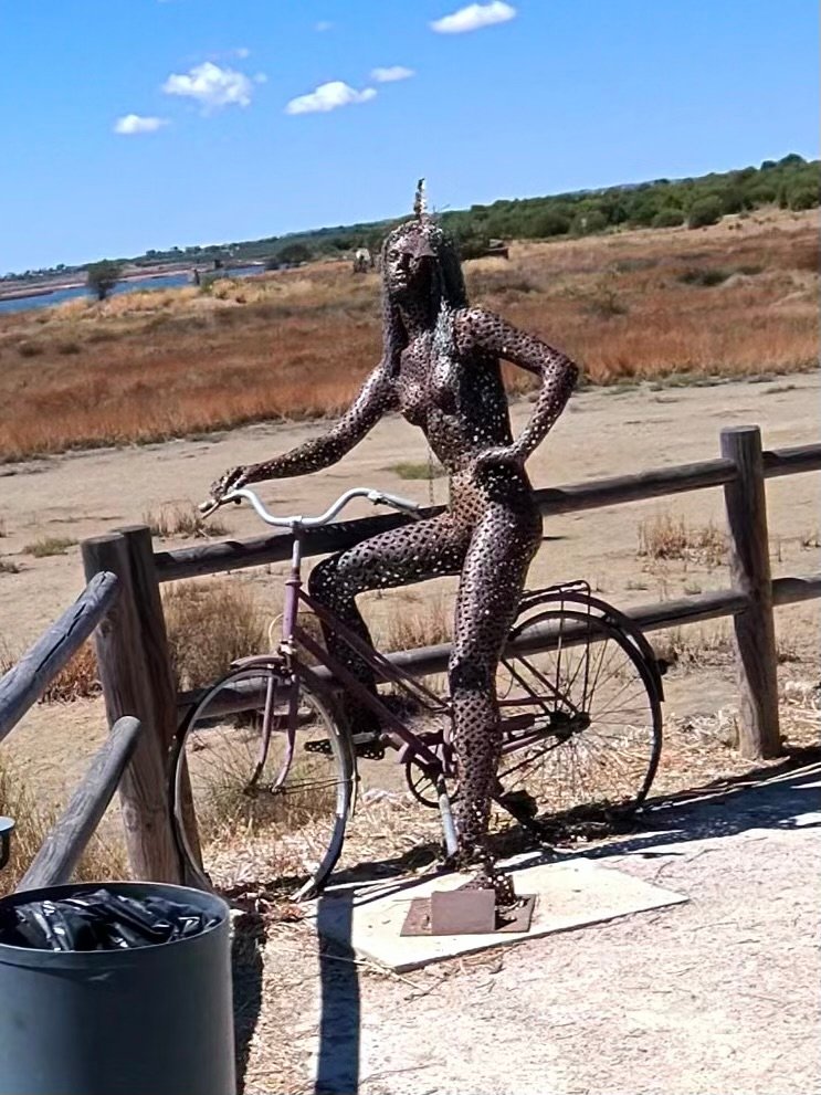
From there it was a few kilometres along the front to Vila Real de Santo António, its lighthouse and the Guadiana, with Spain just across the water. Then I turned north past the salt marshes of Castro Marim, where a metal woman on a bicycle keeps watch by the path. It was the only real turning point of the day: from here every road led back west and, as I was about to find out, uphill.



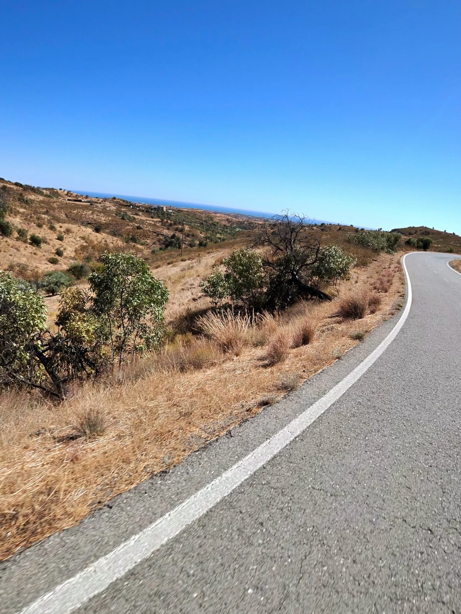
That was where the ride changed. Inland from Castro Marim the road climbed towards the Beliche reservoir, low and blue under a hard sky, and into the empty hills behind it. Most of the day’s climbing was still to come.
The steepest pitch came at 143 km, the wall up to Corte do Gago – 90 m of height in 800 m, with my heart rate at its highest of the day – and after that the climbs just kept coming, through Carrapateira and down the long valleys towards Tavira.
It was hot, dry and very quiet out there. An old maroon Renault 4 sat in the grass near Monte Novo, and from the ridges the sea was only a faint line far to the south. My verdict on Strava afterwards summed it up: the outbound was flat, fast and cooler, the return hilly, desolate and hot.



Asseca and São Brás de Alportel each earned a stop, and each time it was harder to get going again. The last real climb was up to Alto Fica, the sun already low over the road, then a final break in Benafim before the run home through Alte and Messines.
I rolled back into Silves at nine in the evening, more than fourteen hours after leaving, with 256 km on the clock – the longest ride of the trip so far. Garmin reckoned I’d sweated out more than six and a half litres along the way. Out to the border on the flat, home the hard way through the hills – a proper day’s work.
The numbers
- Ride: #1081 on Strava, ride 210 of 2026, day 90 of the streak
- Distance: 255.8 km
- Moving time: 11:02:56 (14:20:22 elapsed)
- Elevation: 2,625 m
- Average power: 114 W
- Heart rate: 100 bpm average, 143 max
- Cadence: 85 rpm average
- Calories: 5,784 kcal
- Highlight: Steep bit to Corte do Gago – 0.80 km, 90 m, 5:46 at 263 W
- Conditions: partly cloudy, 20.6°C at the start, 88% humidity, light NNW breeze (about 12 km/h)
- Year to date: Distance 16,809 km, Elevation Gain 175,307 m
The route
Download the GPX (start and finish trimmed for privacy)
The profile and climbs
25 climbs: 7 Cat 4, 18 uncategorised. Biggest: 2.9 km at 4.9%, 143 m of climbing (Cat 4, from km 143). Together the climbs account for 1,258 m of the ride’s ascent.
Cat 4 Uncategorised Pins mark where each Garmin ClimbPro climb starts. Hover or tap a pin for details.
Climbs table
| # | Starts at km | Length | Ascent | Avg grade | Time | Avg power | Category |
|---|---|---|---|---|---|---|---|
| 1 | 0.8 | 0.23 km | 3 m | 1.4% | 0:35 | 86 W | Uncategorised |
| 2 | 3.2 | 1.80 km | 72 m | 4% | 6:50 | 207 W | Uncategorised |
| 3 | 9.4 | 0.51 km | 16 m | 3.1% | 1:27 | 228 W | Uncategorised |
| 4 | 18.7 | 0.78 km | 23 m | 3% | 2:24 | 190 W | Uncategorised |
| 5 | 126.0 | 1.74 km | 83 m | 4.8% | 8:02 | – | Cat 4 |
| 6 | 128.0 | 1.33 km | 41 m | 3% | 4:58 | 195 W | Uncategorised |
| 7 | 135.1 | 2.90 km | 97 m | 3.3% | 11:52 | 179 W | Cat 4 |
| 8 | 140.7 | 0.72 km | 19 m | 2.6% | 2:43 | 172 W | Uncategorised |
| 9 | 142.9 | 2.90 km | 143 m | 4.9% | 14:20 | 189 W | Cat 4 |
| 10 | 146.6 | 0.65 km | 20 m | 3% | 2:29 | 180 W | Uncategorised |
| 11 | 149.0 | 1.66 km | 85 m | 5.1% | 7:28 | 198 W | Cat 4 |
| 12 | 152.2 | 1.74 km | 85 m | 4.9% | 8:42 | 174 W | Cat 4 |
| 13 | 159.6 | 0.50 km | 12 m | 2.4% | 1:42 | 191 W | Uncategorised |
| 14 | 162.3 | 0.50 km | 12 m | 2.4% | 1:44 | 188 W | Uncategorised |
| 15 | 164.3 | 0.61 km | 19 m | 3.2% | 2:13 | 194 W | Uncategorised |
| 16 | 165.7 | 0.80 km | 19 m | 2.4% | 2:38 | 185 W | Uncategorised |
| 17 | 171.7 | 0.51 km | 12 m | 2.4% | 1:46 | 164 W | Uncategorised |
| 18 | 174.3 | 1.62 km | 60 m | 3.7% | 5:38 | 206 W | Uncategorised |
| 19 | 204.6 | 0.59 km | 22 m | 3.7% | 2:22 | 199 W | Uncategorised |
| 20 | 212.5 | 2.61 km | 102 m | 3.9% | 10:30 | 207 W | Cat 4 |
| 21 | 219.3 | 2.84 km | 138 m | 4.8% | 13:37 | 201 W | Cat 4 |
| 22 | 224.1 | 1.98 km | 72 m | 3.6% | 7:51 | 184 W | Uncategorised |
| 23 | 236.5 | 0.99 km | 29 m | 2.9% | 3:25 | 222 W | Uncategorised |
| 24 | 244.3 | 0.84 km | 25 m | 3% | 2:21 | 229 W | Uncategorised |
| 25 | 254.4 | 1.41 km | 49 m | 3.4% | 4:56 | 219 W | Uncategorised |