Home » Posts tagged 'Lot'
Tag Archives: Lot
Vineyards into the Dark
Day five in the Lot, and an evening shift. After a morning walk along the river from Bouziès to Saint-Cirq-Lapopie, the village I’d ridden to on day two, I clipped in just before quarter to six on Thursday with one job in mind: filling in the gaps. I’ve now ridden out of Cahors in most directions, so this loop went north-west into the one corner I hadn’t covered, wine country dotted with small villages.
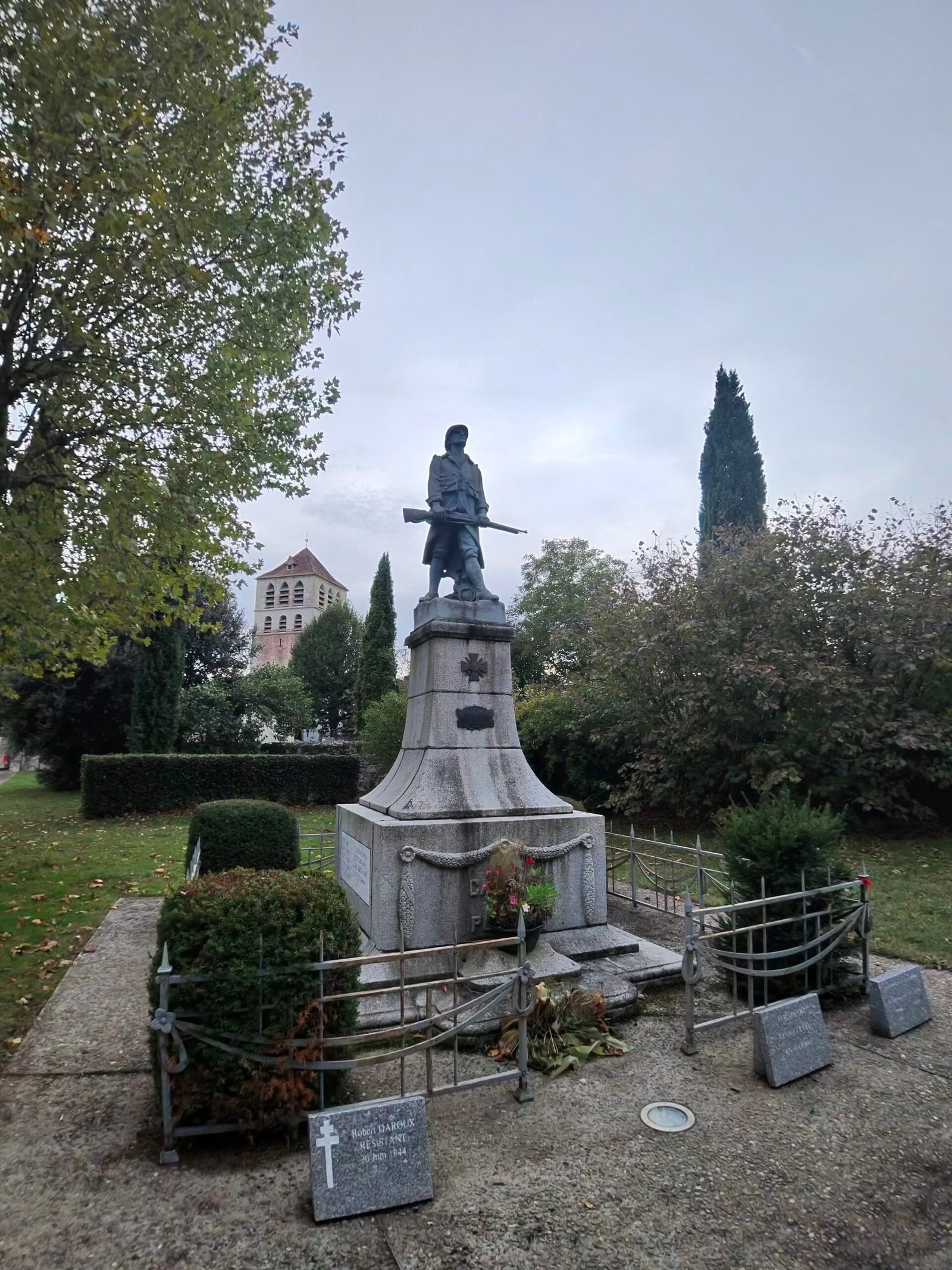
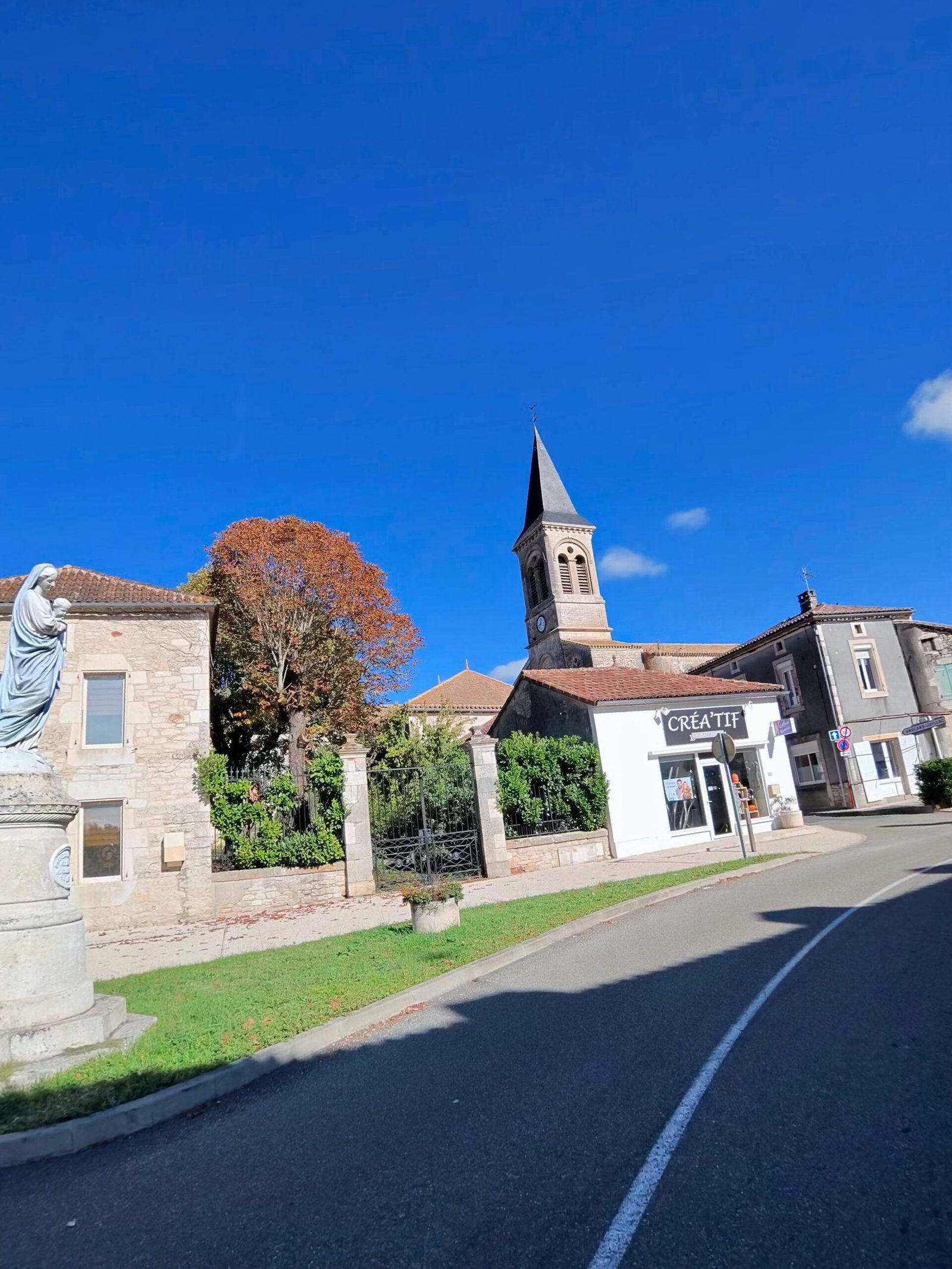
It was cloudy and mild, with a light southerly breeze. I left town to the north, swung west through Mercuès and out to Caillac, where I paused by the war memorial with the church tower behind it.
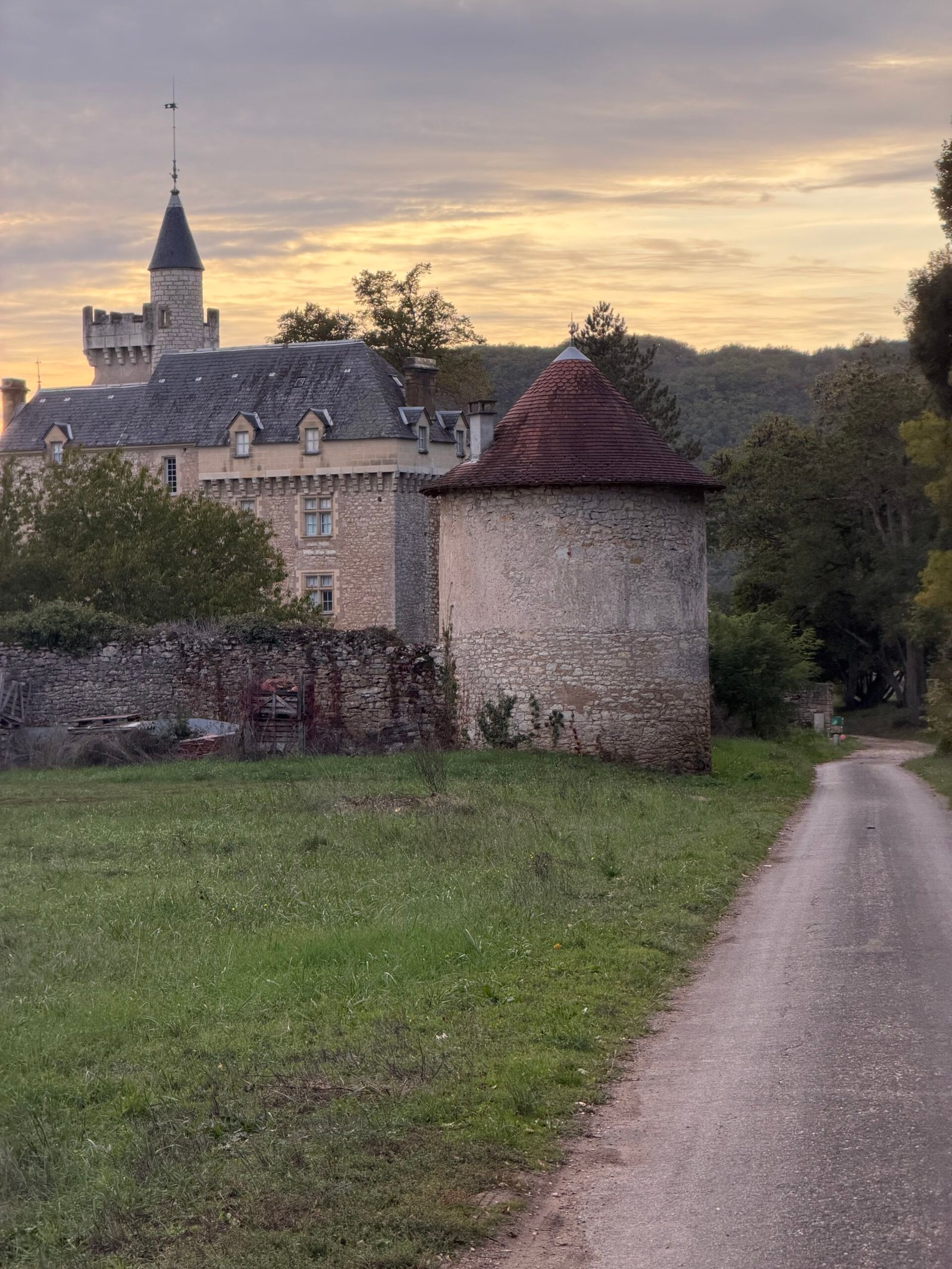
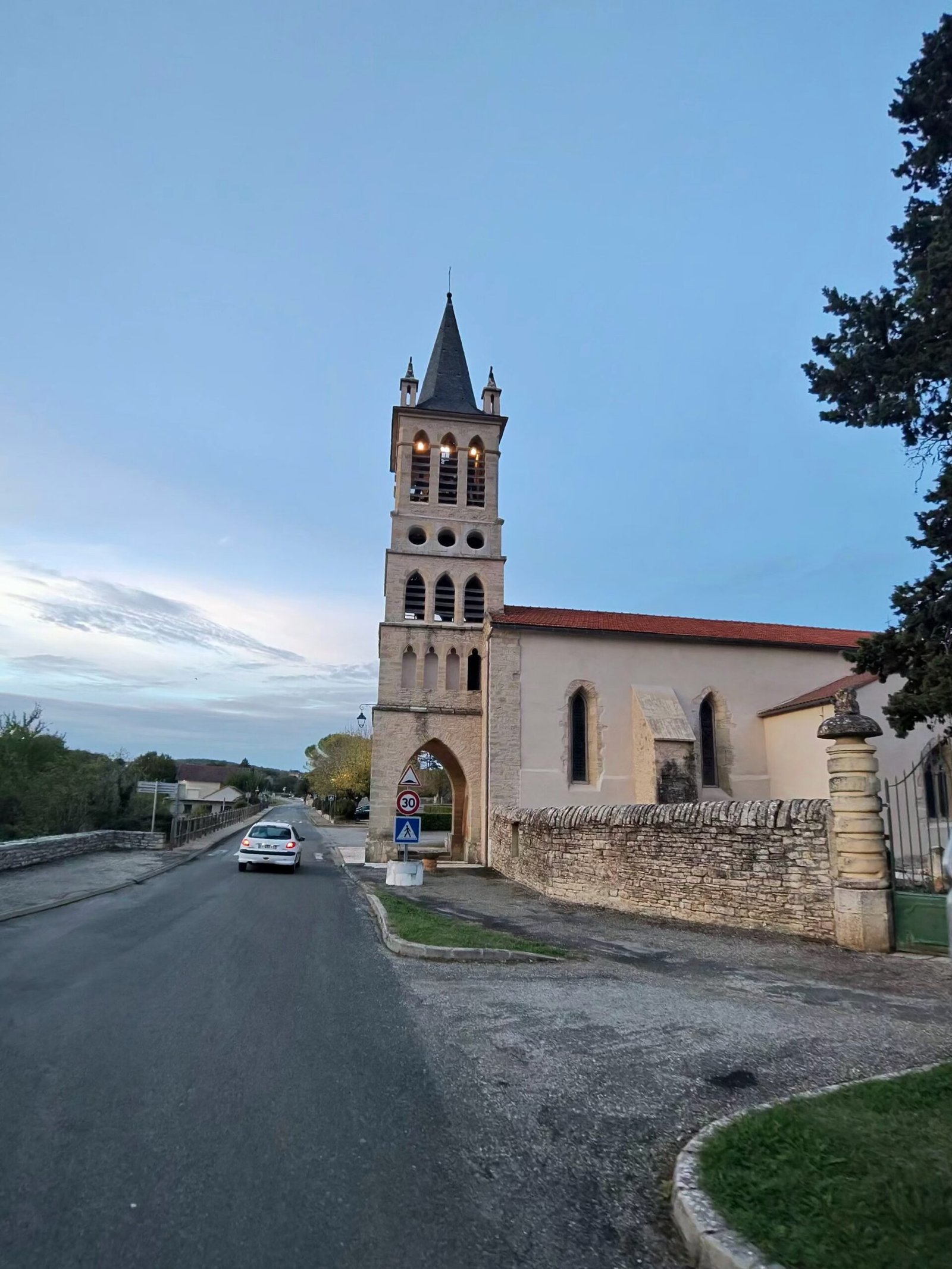
Between Caillac and Crayssac the sun went down behind a château, and the first proper climb of the evening, a Cat 4, took me up to Crayssac and its church. Summitbag logs it as the Col de Crayssac, all 291 metres of it.
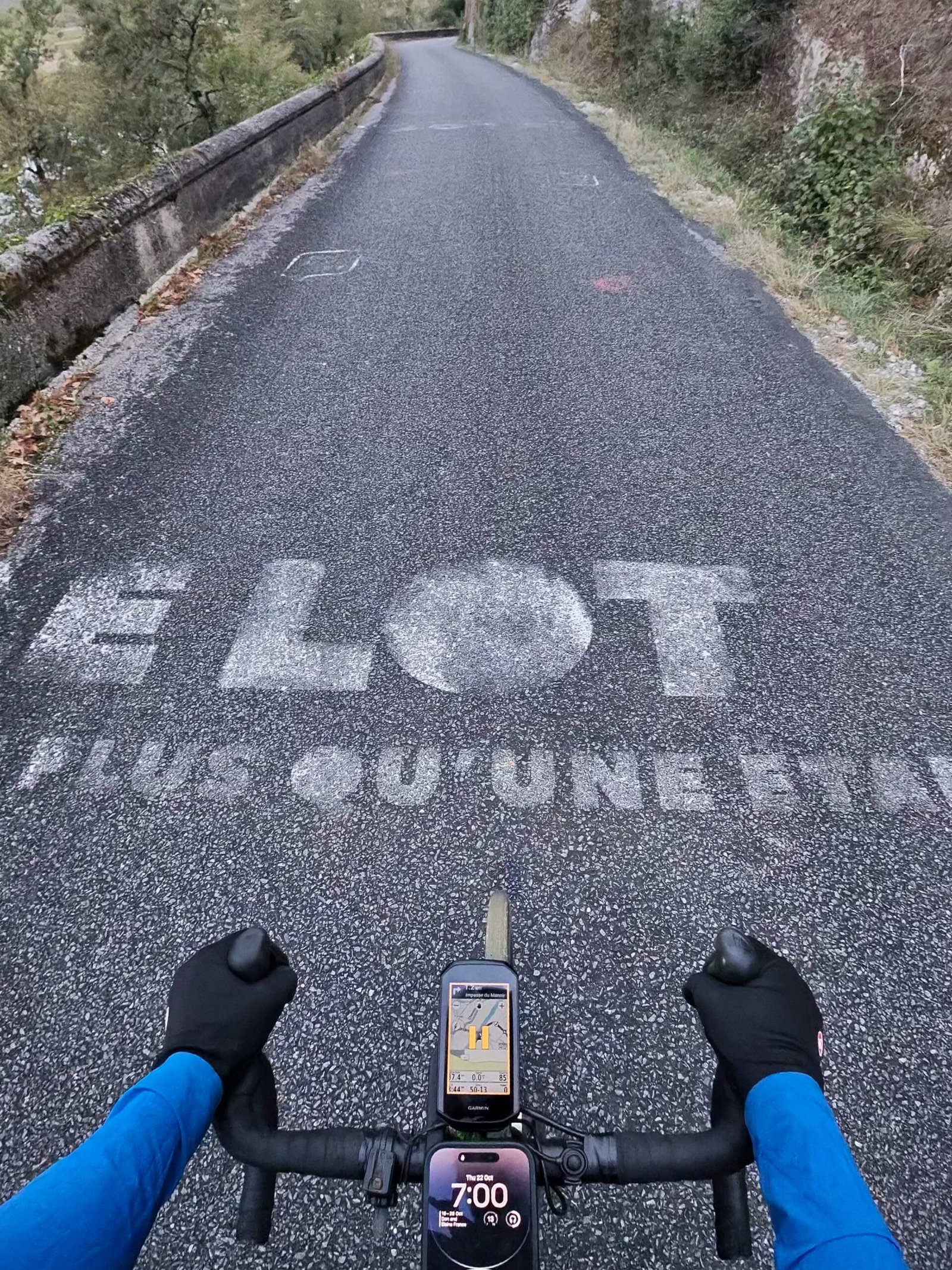
From Crayssac the road dropped to Caïx, on a loop of the Lot below Luzech. By then the phone on my bars read 7:00, and someone had painted “Le Lot, plus qu’une étape” across the lane: more than just a stage, which felt about right for a ride that was all about the in-between bits.
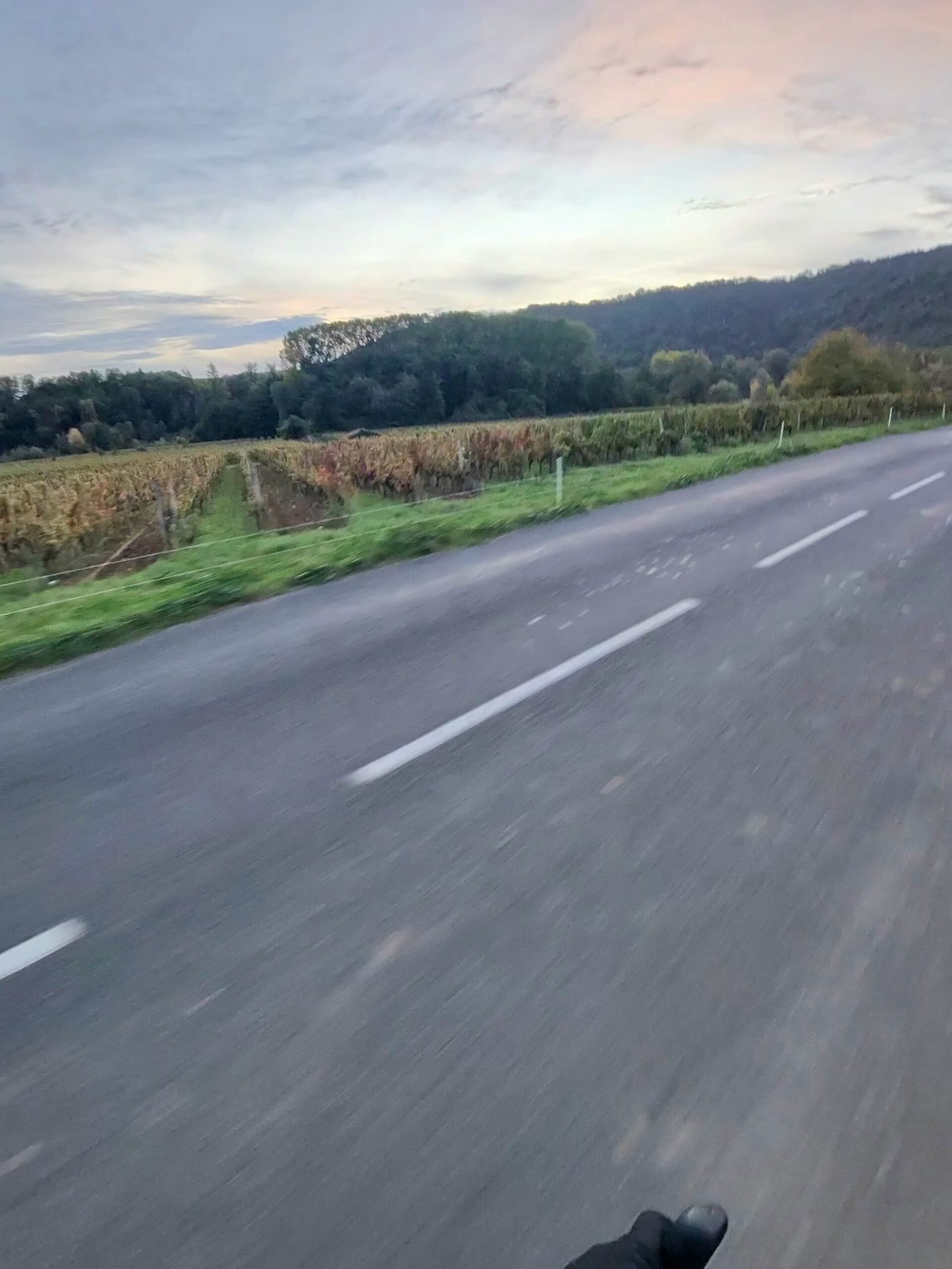
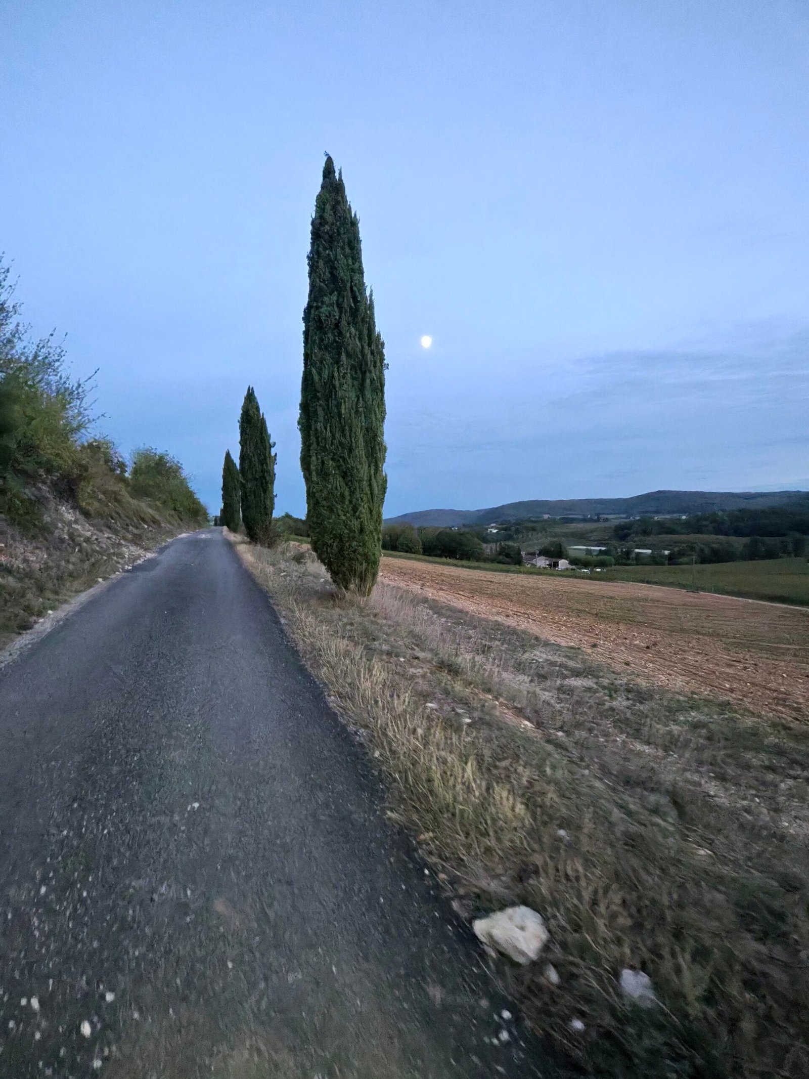
The vines around Caïx were turning and the sky was going pink over the hills. Then came the hardest climb of the night, Garmin’s only Cat 3: 2.9 km at 5.8% up from the river. Its steepest stretch is the Laborie climb, which I rode in 7:11, past a line of cypresses with the moon already up.
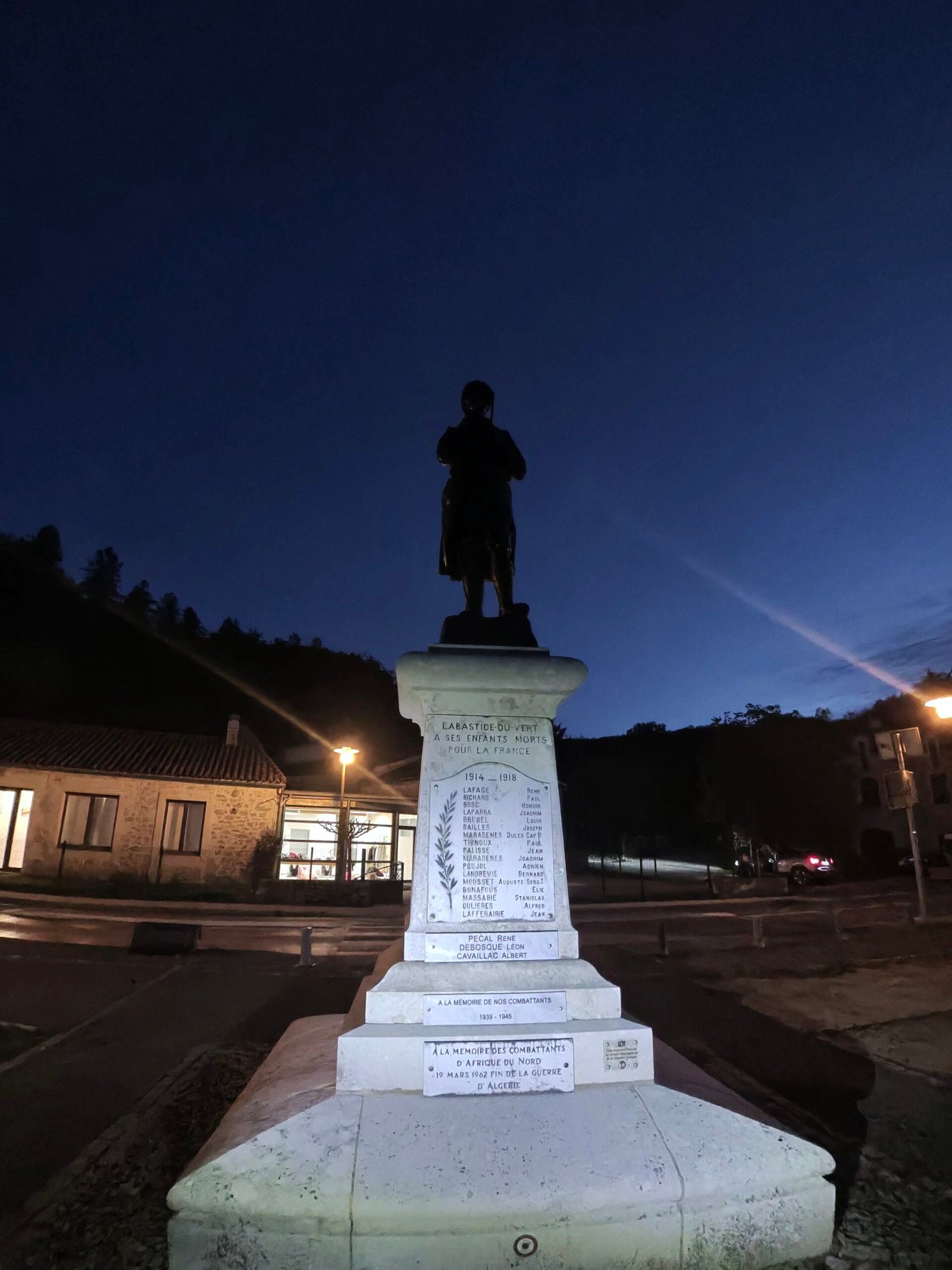
By the time I reached Labastide-du-Vert it was fully dark, and I stopped for the statue in the village, lit up against a deep-blue sky. Lights on, I carried on through Saint-Médard to Catus: a Cat 4 at La Sole, a quick drop to Nuzéjouls and another Cat 4 up to Mas Delleu above Calamane.
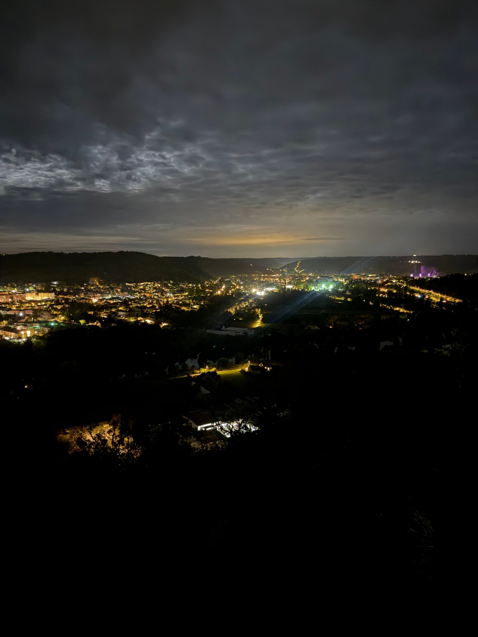
The roads out here were quiet, with just 94 vehicles passing me all evening. The reward came on the old Paris road above Laroque-des-Arcs, where I stopped to look down on the lights of Cahors spread along the valley.
Then it was the long descent into town, where the streets had their own night-time gallery: a painted mural under a streetlamp, a graffiti-lined underpass, and my own shadow thrown up the road by a car’s headlights behind me.
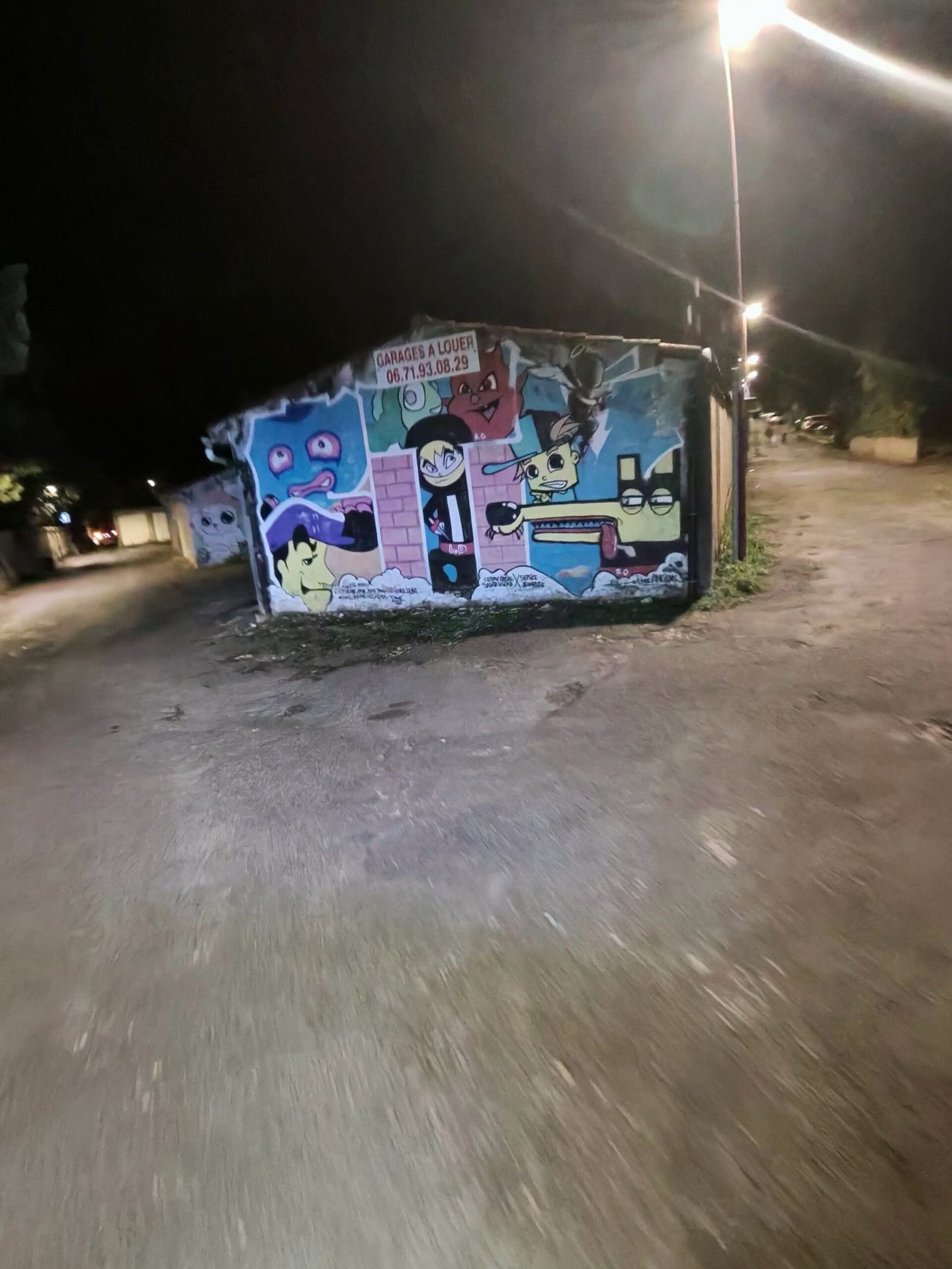
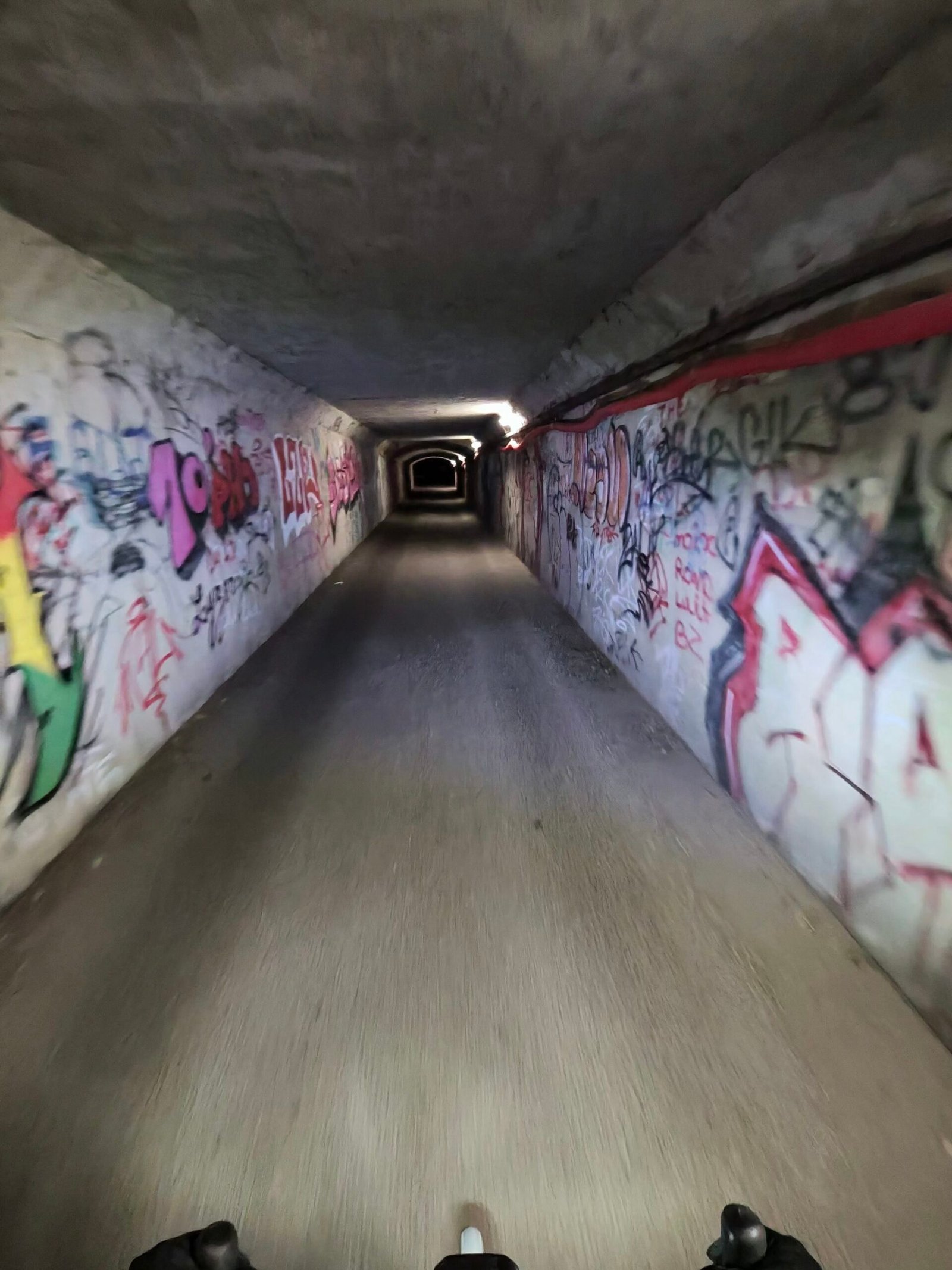
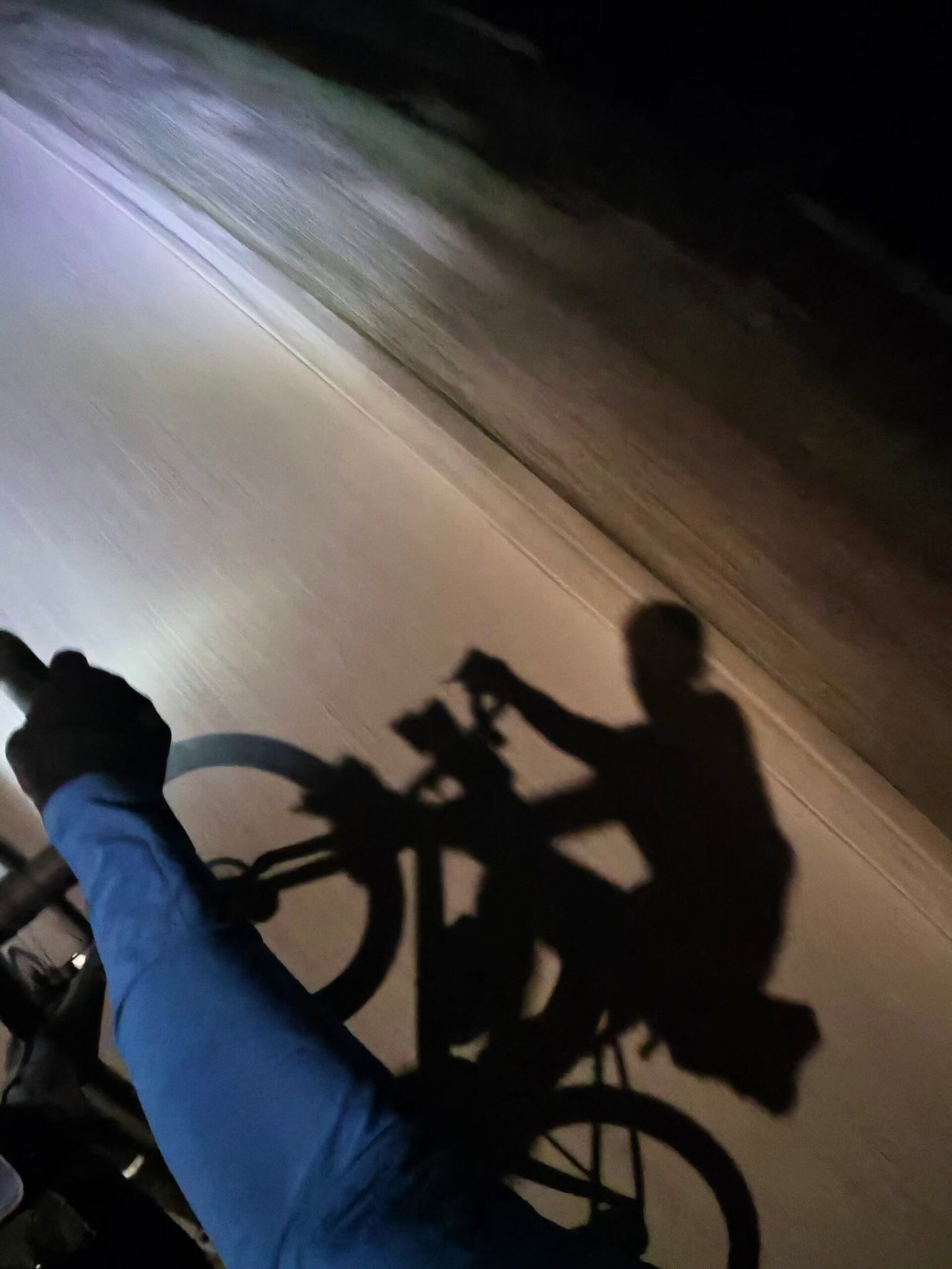
No café stop and not much daylight, but another corner of the map coloured in. Five days, five directions out of Cahors, and the Lot looks just as good by headlight.
The numbers
- Ride: #1124 on Strava, ride 253 of 2026, day 133 of the streak
- Distance: 61.2 km
- Moving time: 2:59:15 (3:23:31 elapsed)
- Elevation: 925 m
- Average power: 127 W
- Heart rate: 108 bpm average, 145 max
- Cadence: 86 rpm average
- Calories: 1,604 kcal
- Highlight: Laborie Climb, Crayssac – 1.47 km, 97 m, 7:11 at 233 W
- Conditions: cloudy, then dark, 14.7°C, 72% humidity, a light 8 km/h southerly breeze
- Year to date: Distance 20,811 km, Elevation Gain 212,997 m
The route
Download the GPX (start and finish trimmed for privacy)
The profile and climbs
6 climbs: 1 Cat 3, 3 Cat 4, 2 uncategorised. Biggest: 2.9 km at 5.8%, 168 m of climbing (Cat 3, from km 24). Together the climbs account for 574 m of the ride’s ascent.
Cat 3 Cat 4 Uncategorised Pins mark where each Garmin ClimbPro climb starts. Hover or tap a pin for details.
Climbs table
| # | Starts at km | Length | Ascent | Avg grade | Time | Avg power | Category |
|---|---|---|---|---|---|---|---|
| 1 | 13.8 | 0.59 km | 33 m | 5.5% | 2:38 | 224 W | Uncategorised |
| 2 | 17.9 | 1.43 km | 98 m | 6.8% | 7:07 | 232 W | Cat 4 |
| 3 | 23.8 | 2.89 km | 168 m | 5.8% | 17:17 | 220 W | Cat 3 |
| 4 | 39.6 | 1.63 km | 100 m | 6.1% | 7:55 | 219 W | Cat 4 |
| 5 | 47.7 | 2.74 km | 129 m | 4.7% | 11:46 | 206 W | Cat 4 |
| 6 | 51.1 | 1.21 km | 46 m | 3.8% | 6:40 | 150 W | Uncategorised |
Castelnau and the Pink Bridge
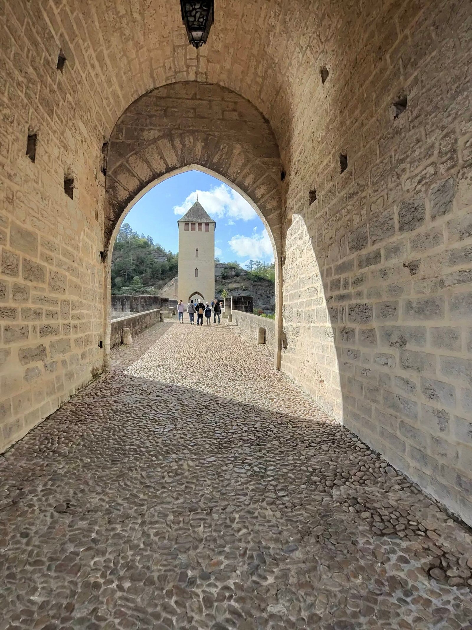
Day four in the Lot. After yesterday’s long haul down to the Dordogne, I rolled out of Cahors at three in the afternoon and straight across the Pont Valentré, under the arch of its middle tower, with a loop south into the hills to Castelnau-Montratier in mind and the idea of being home by sunset. The forecast was sunshine and showers, with a fresh west-north-westerly blowing across the causse.
On the far bank I stopped at the Fontaine des Chartreux, the deep green spring that once supplied Roman Cahors, and looked back at the bridge across the Lot before the real work began.
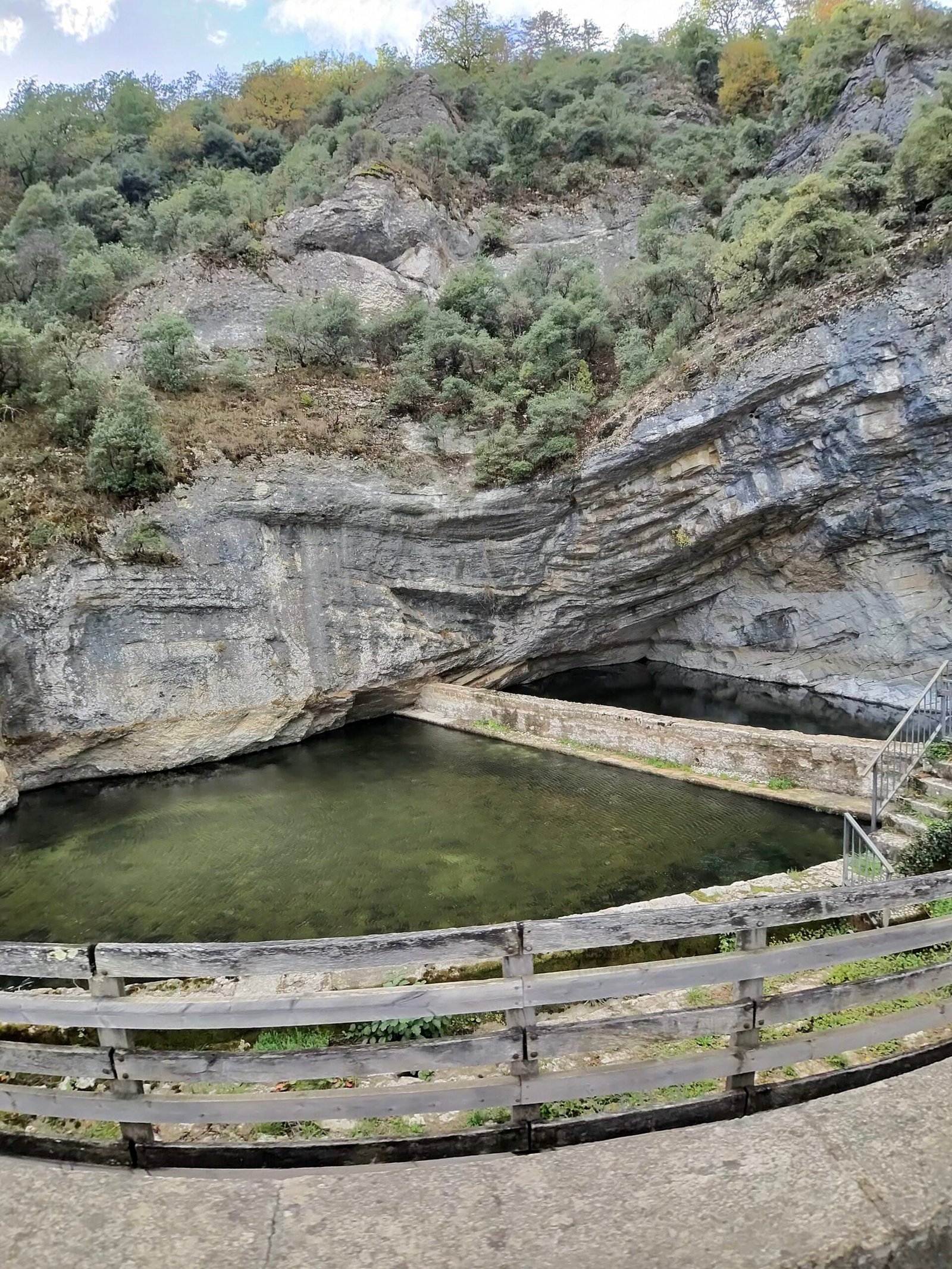

That came straight away. Route de la Marchande climbs out of the valley for just over 4 km at a steady 4%, Garmin’s only Cat 3 of the day, and I kept it honest at around 190 W all the way up onto the plateau.
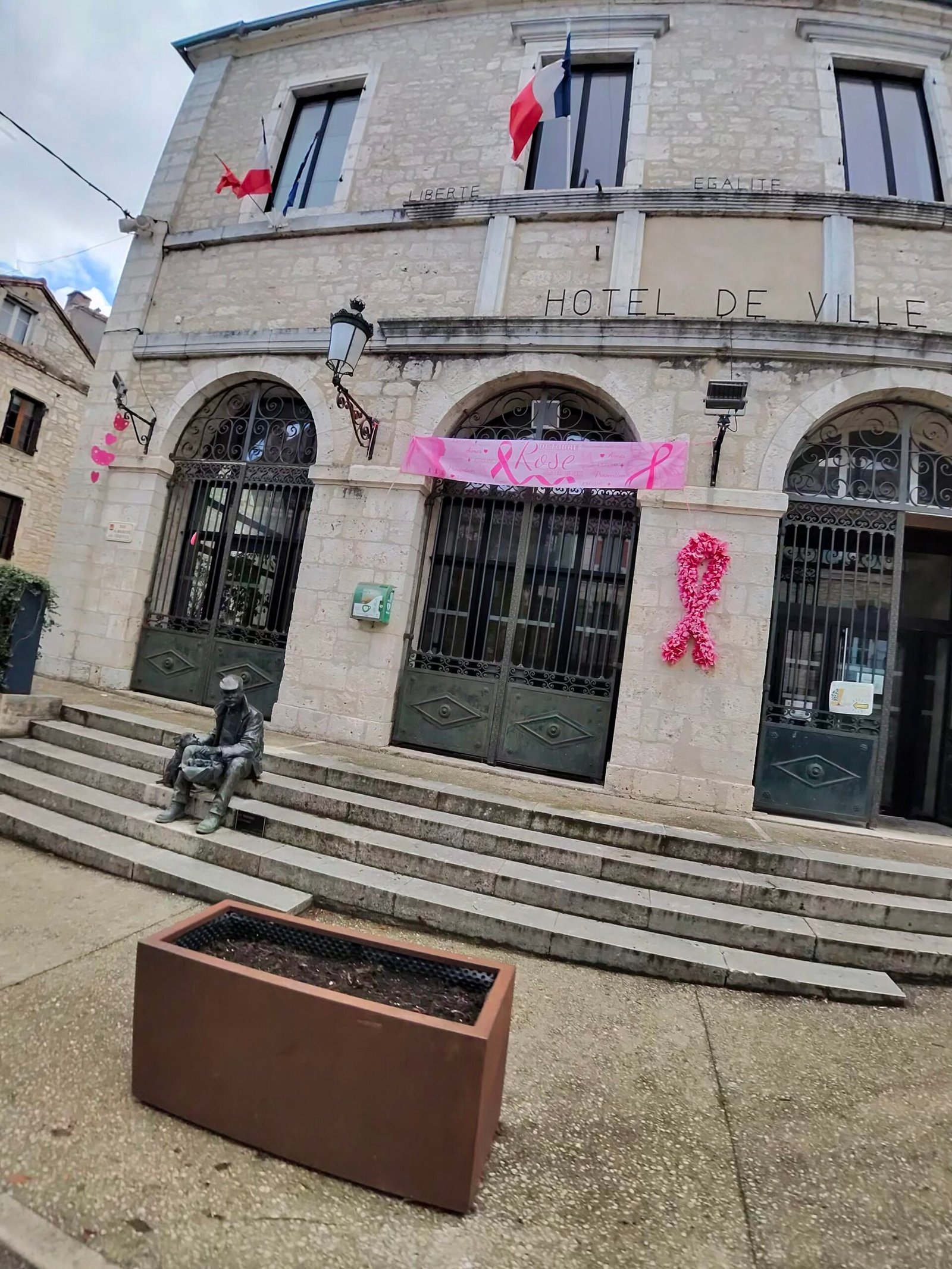
Up top the roads rolled across open farmland under a sky that couldn’t make up its mind: grey and spitting one minute, blue the next. Lalbenque, the truffle town, was the first village of note, and its Hôtel de Ville was dressed in pink ribbons for Octobre Rose, France’s month-long campaign to encourage breast-cancer screening. It turned out to be the theme of the day.
From there it was south past Montdoumerc to Belfort-du-Quercy for a short pause, then across the line into Tarn-et-Garonne. These were some of the quietest roads of the trip: by the time I got home just 88 vehicles had passed me.
A seven-minute breather by an old bell tower halfway up a Cat 4 near Montpezat-de-Quercy, and I was heading west again, back into the Lot. The two highlights of the afternoon came in quick succession: Flaugnac, perched on its hill above the vineyards, and then the first sight of Castelnau-Montratier’s domed church on the skyline.
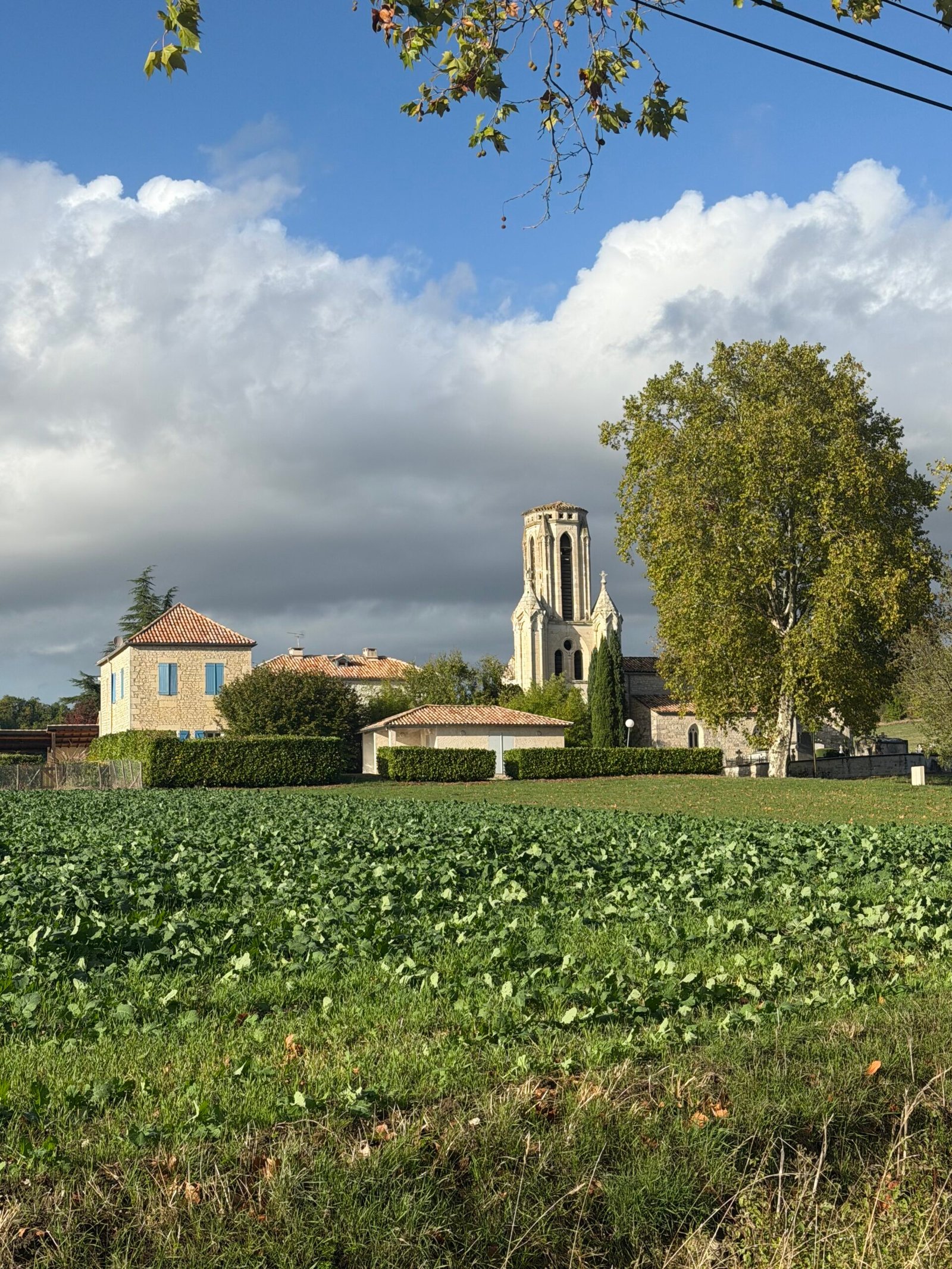
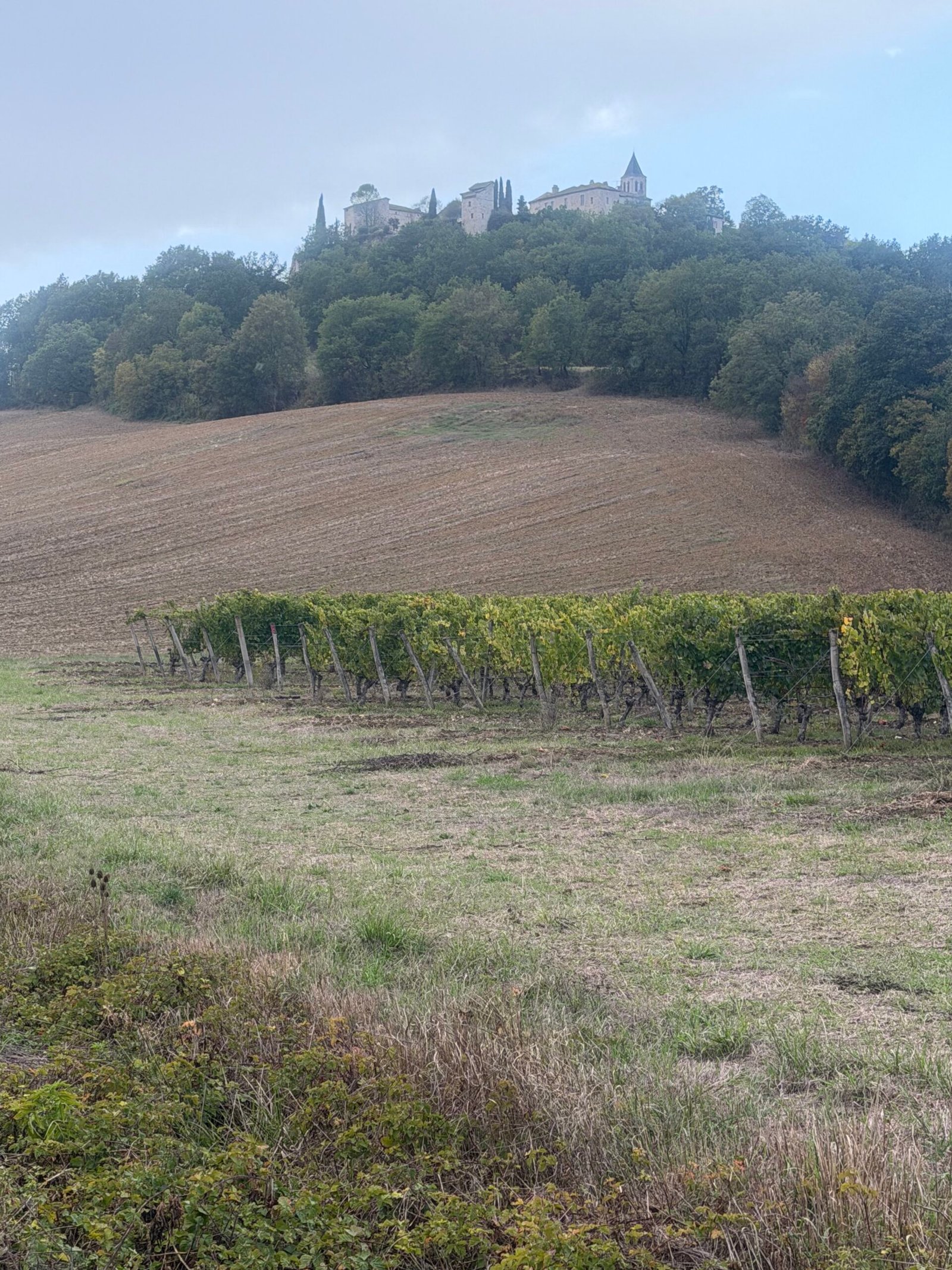
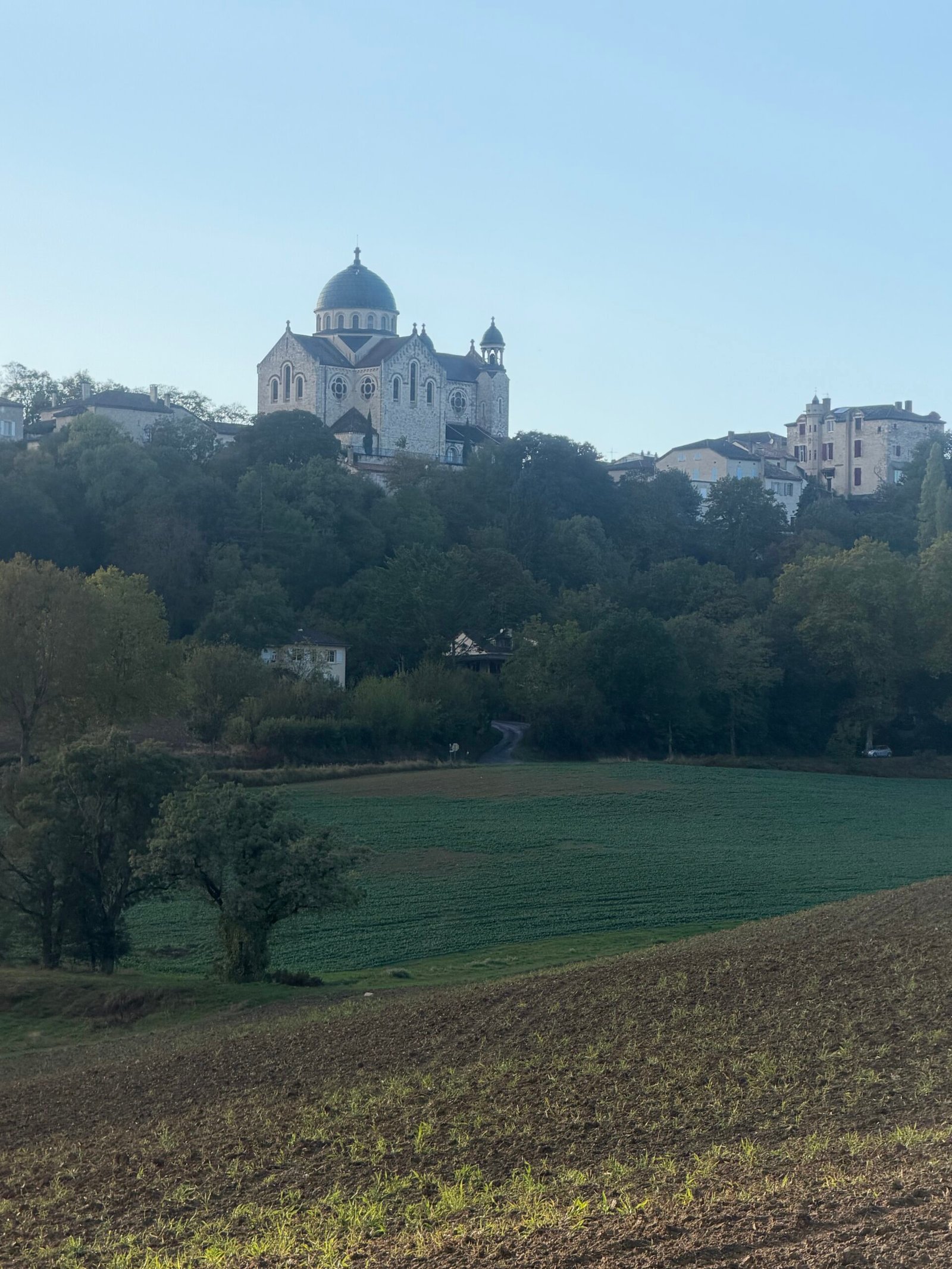

The climb into Castelnau-Montratier was another Cat 4, three kilometres at just under 4% up to the hilltop town I’d been watching on the skyline. At the top stands the Église Saint-Martin, rebuilt at the end of the 19th century in a Romanesque-Byzantine style, with a dome added in the 1930s that makes it look like a little country cousin of the Sacré-Cœur. In the low evening sun it was the highlight of the ride.
I spent nearly half an hour in the town, with a coffee at Le 17, the bar-restaurant under the arcades of Place Gambetta, and the bike parked on the pavement outside. More pink hearts were scattered round the statue in the square: Octobre Rose had got here too.
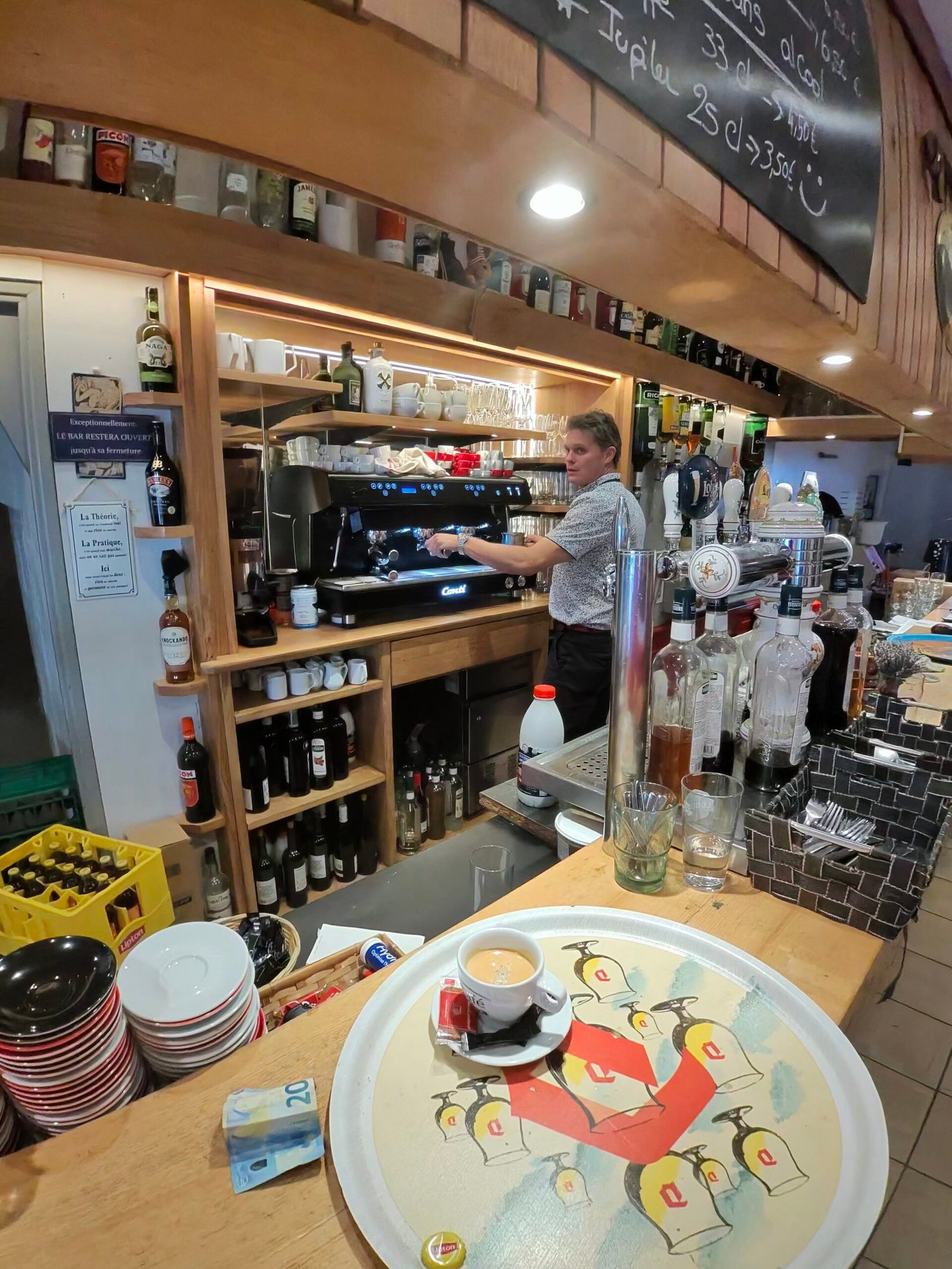
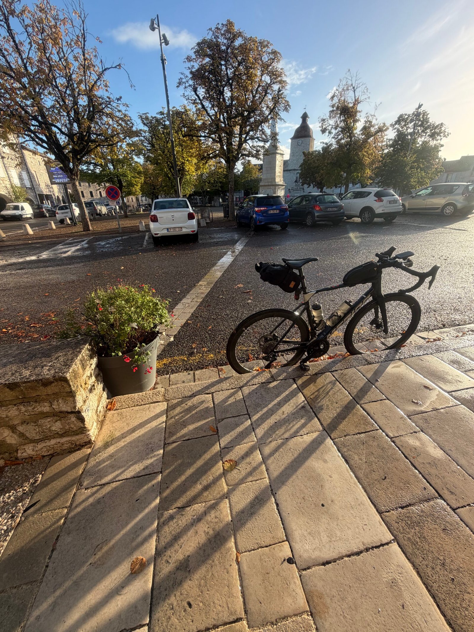
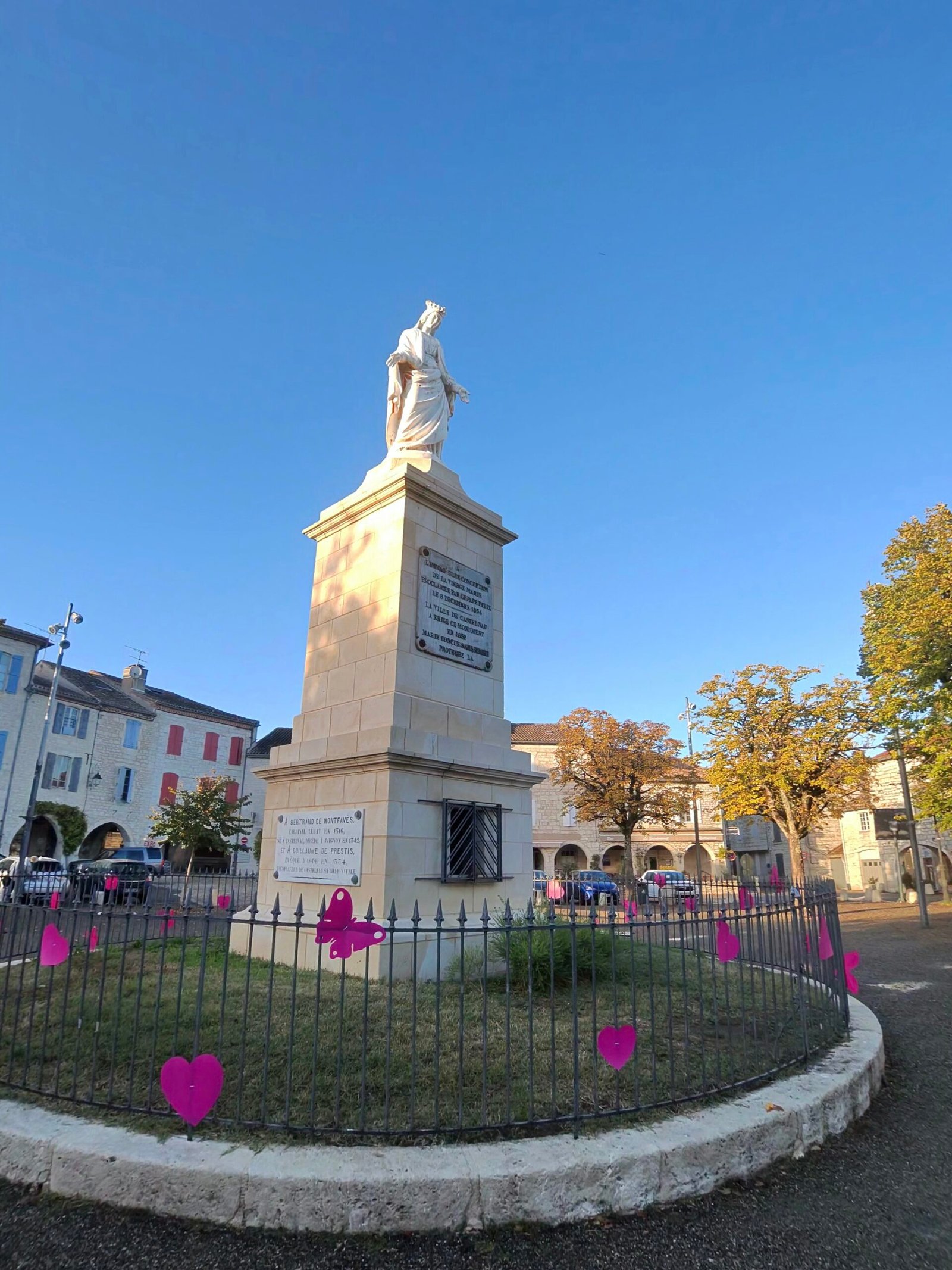
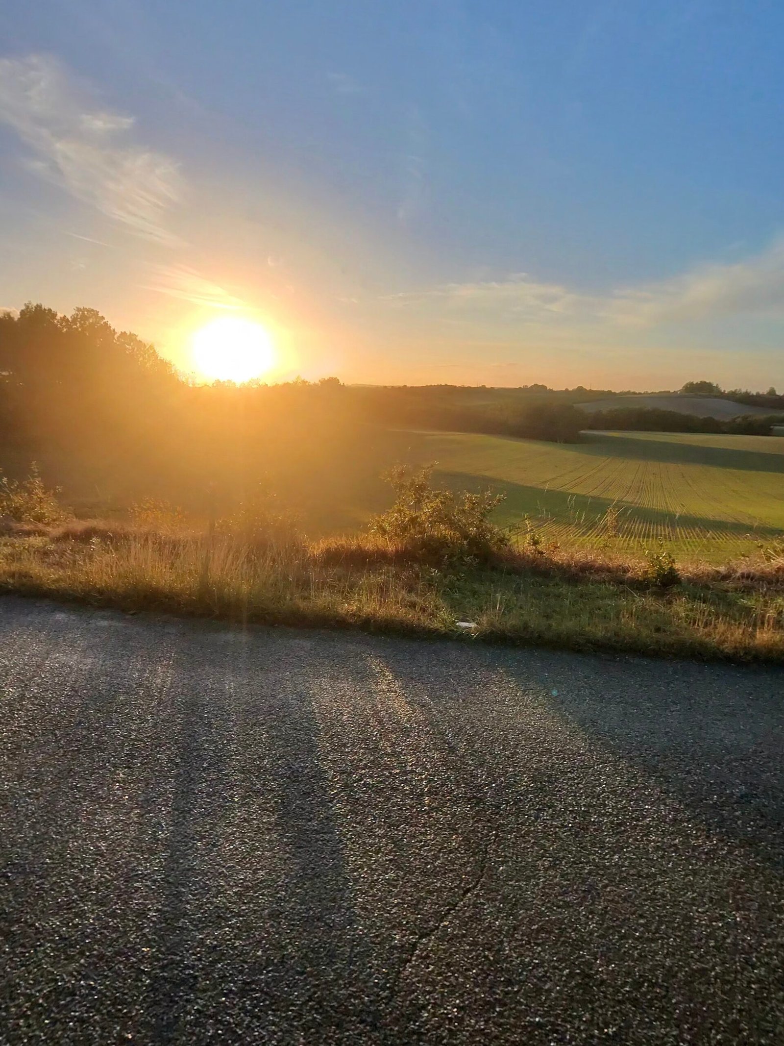
The way home went north over La Vitarelle, the last of the Cat 4s, and then along the long, gentle road back through Lhospitalet. The sun went down while I was still on the ridge, turning the fields gold, and the last few kilometres dropped back into the valley in the dusk.
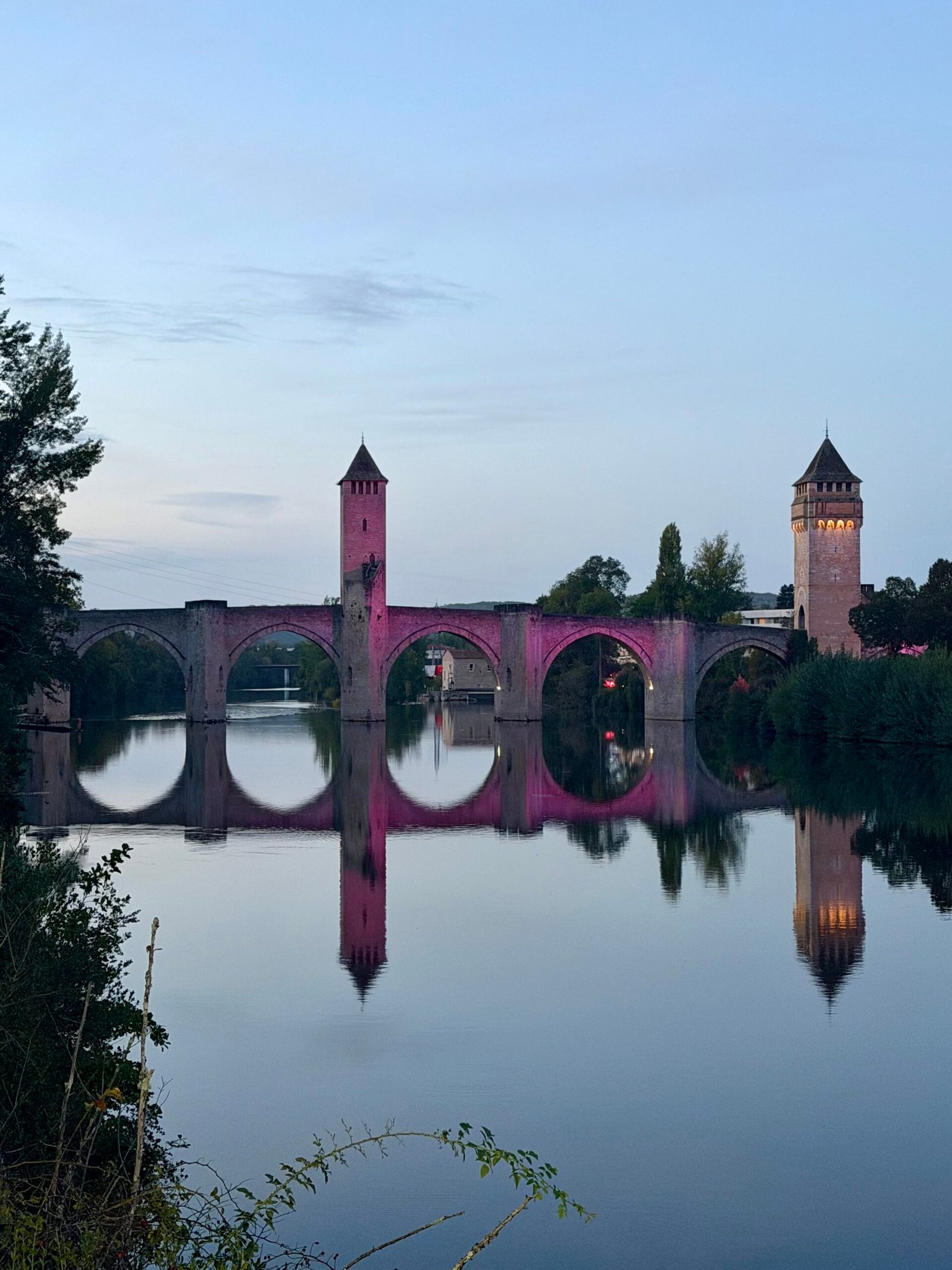
Back in Cahors the Pont Valentré was lit up pink for Octobre Rose and mirrored perfectly in the still water of the Lot: the same bridge I’d ridden under at the start, now in its evening colours. Seventy-seven kilometres, nine climbs and a thread of pink from start to finish – a good way to spend a Wednesday afternoon.
The numbers
- Ride: #1123 on Strava, ride 252 of 2026, day 132 of the streak
- Distance: 76.9 km
- Moving time: 3:22:09 (4:19:33 elapsed)
- Elevation: 943 m
- Average power: 131 W
- Heart rate: 111 bpm average, 145 max
- Cadence: 91 rpm average
- Calories: 1,858 kcal
- Highlight: Route de la Marchande, Cahors – 4.11 km, 156 m, 15:10 at 191 W
- Conditions: sunshine and showers, 14.4°C, 72% humidity, a fresh 20 km/h WNW wind
- Year to date: Distance 20,749 km, Elevation Gain 212,072 m
The route
Download the GPX (start and finish trimmed for privacy)
The profile and climbs
9 climbs: 1 Cat 3, 3 Cat 4, 5 uncategorised. Biggest: 4.2 km at 3.8%, 161 m of climbing (Cat 3, from km 2). Together the climbs account for 663 m of the ride’s ascent.
Cat 3 Cat 4 Uncategorised Pins mark where each Garmin ClimbPro climb starts. Hover or tap a pin for details.
Climbs table
| # | Starts at km | Length | Ascent | Avg grade | Time | Avg power | Category |
|---|---|---|---|---|---|---|---|
| 1 | 1.7 | 4.18 km | 161 m | 3.8% | 15:29 | 189 W | Cat 3 |
| 2 | 9.4 | 0.51 km | 13 m | 2.6% | 1:15 | 200 W | Uncategorised |
| 3 | 14.2 | 0.86 km | 58 m | 6.7% | 4:05 | 236 W | Uncategorised |
| 4 | 25.6 | 1.80 km | 70 m | 3.9% | 6:12 | 196 W | Uncategorised |
| 5 | 35.3 | 2.07 km | 94 m | 4.5% | 14:52 | 218 W | Cat 4 |
| 6 | 48.8 | 3.12 km | 121 m | 3.9% | 43:51 | 178 W | Cat 4 |
| 7 | 55.2 | 2.50 km | 86 m | 3.5% | 8:18 | 209 W | Cat 4 |
| 8 | 59.6 | 0.58 km | 20 m | 3.5% | 1:47 | 221 W | Uncategorised |
| 9 | 63.1 | 0.90 km | 40 m | 4.4% | 3:31 | 208 W | Uncategorised |
Down to the Dordogne
Day three in the Lot, and the big one. I rolled out of Cahors at half past ten on a grey, still Tuesday, 9.5°C with the air close to saturated and barely a breath of wind. After the climb to Saint-Cirq-Lapopie the day before (Saint-Cirq-Lapopie and the Cliff Road), the plan this time was distance: north through the Bouriane to the Dordogne, along the river to Souillac and back over the hills, the longest ride of the trip by a distance.
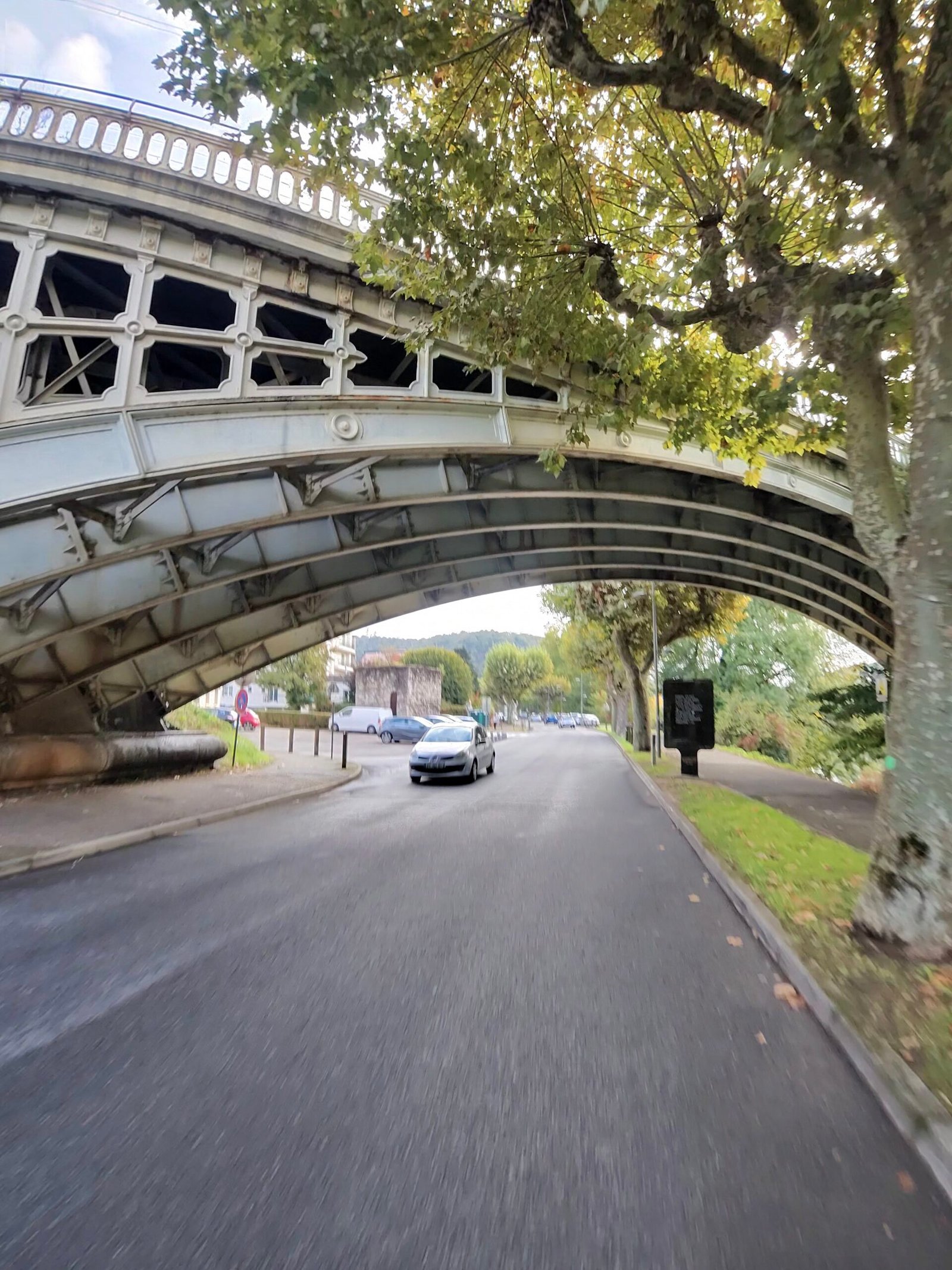
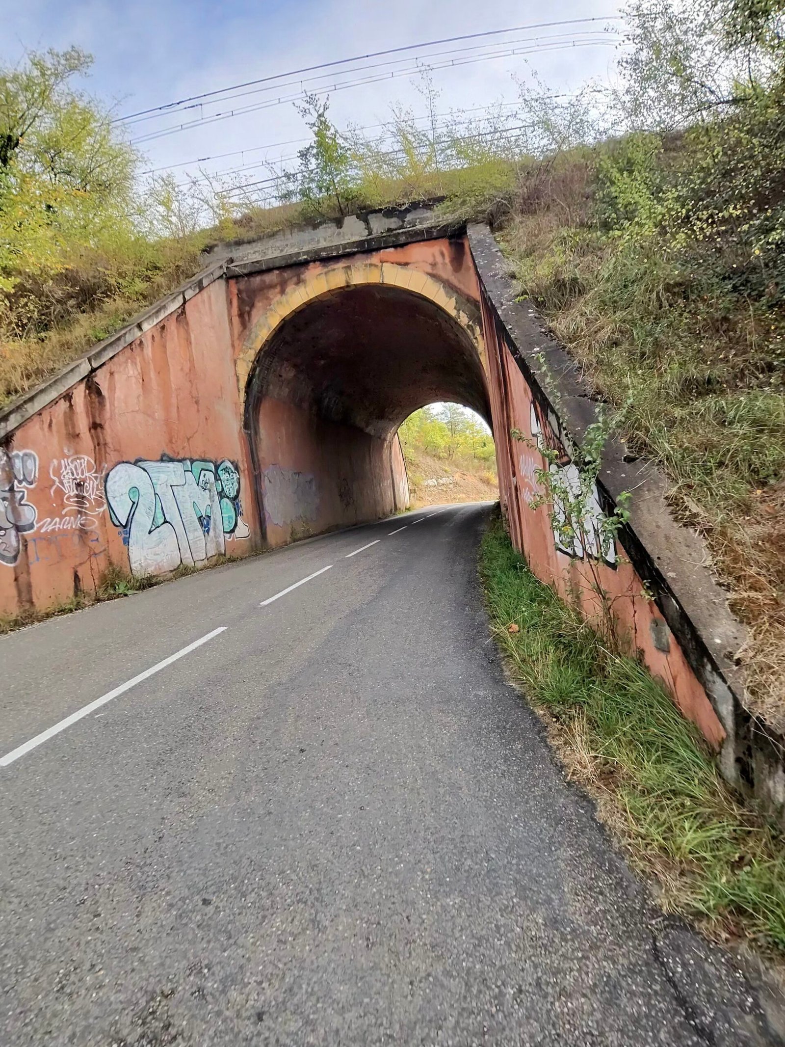
I left town under an iron bridge and followed the Lot downstream to Mercuès, where the château sits on its hill above the river, then turned north away from the valley. The first climbs came early and kept coming, short ramps up past Boissières and Saint-Denis-Catus, through an old underpass and past a lone brick chimney, then Garmin’s first Cat 4 of the day, 2.1 km at 4.6%, on the way towards Peyrilles.
Beyond Peyrilles the roads settled into the gentle up-and-down of the Bouriane, through Concorès and on to the hilltop town of Gourdon.
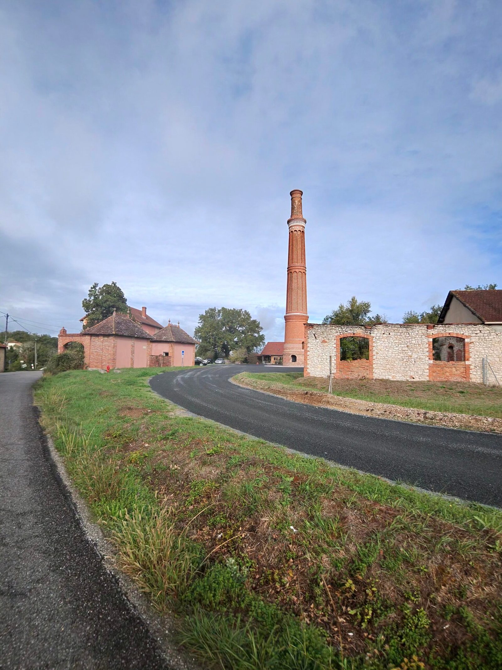
Gourdon was the first proper stop, just under half an hour in a café at 45 km. Coffee in hand, I could see the rest of the day laid out: north again, then a long drop through the woods to the Dordogne.
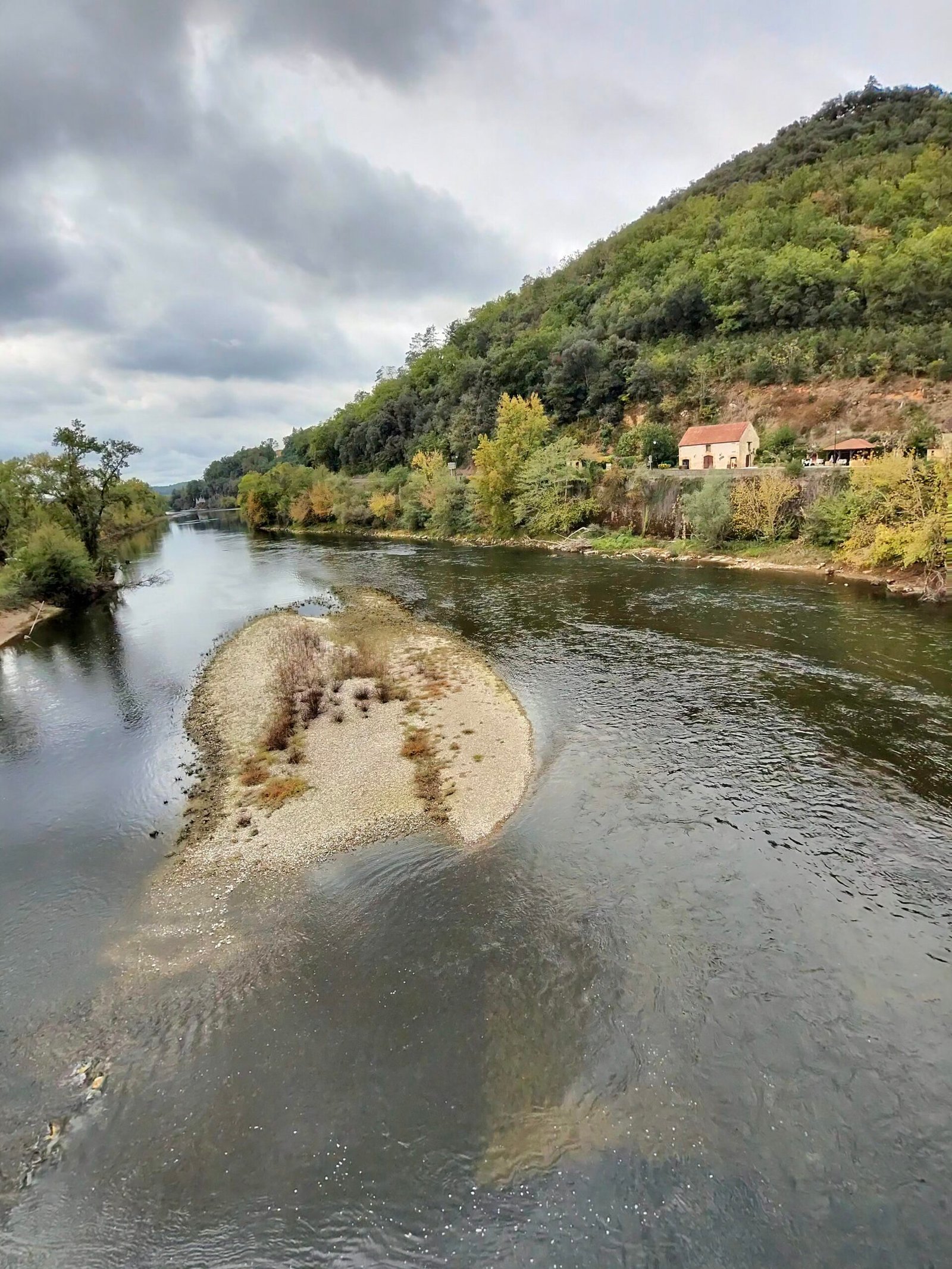
The descent to the river was one of the treats of the day, losing more than 150 m to the valley floor at Saint-Julien-de-Lampon, where a château clings to the wooded cliff above the village church. I stopped on the bridge at Rouffillac to look down on the Dordogne, running low and clear around long pale sandbanks.
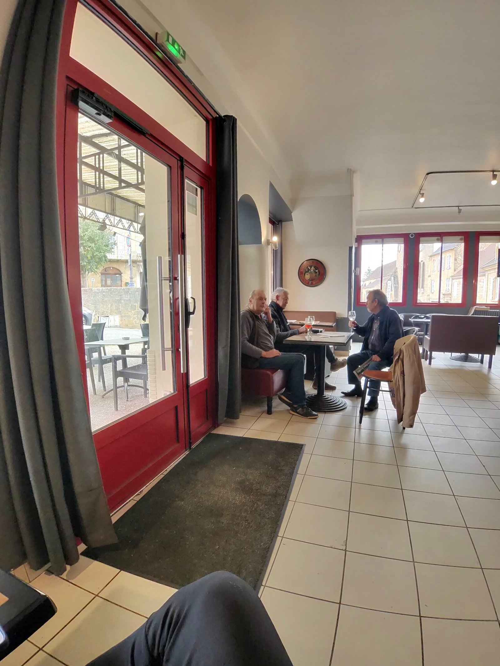
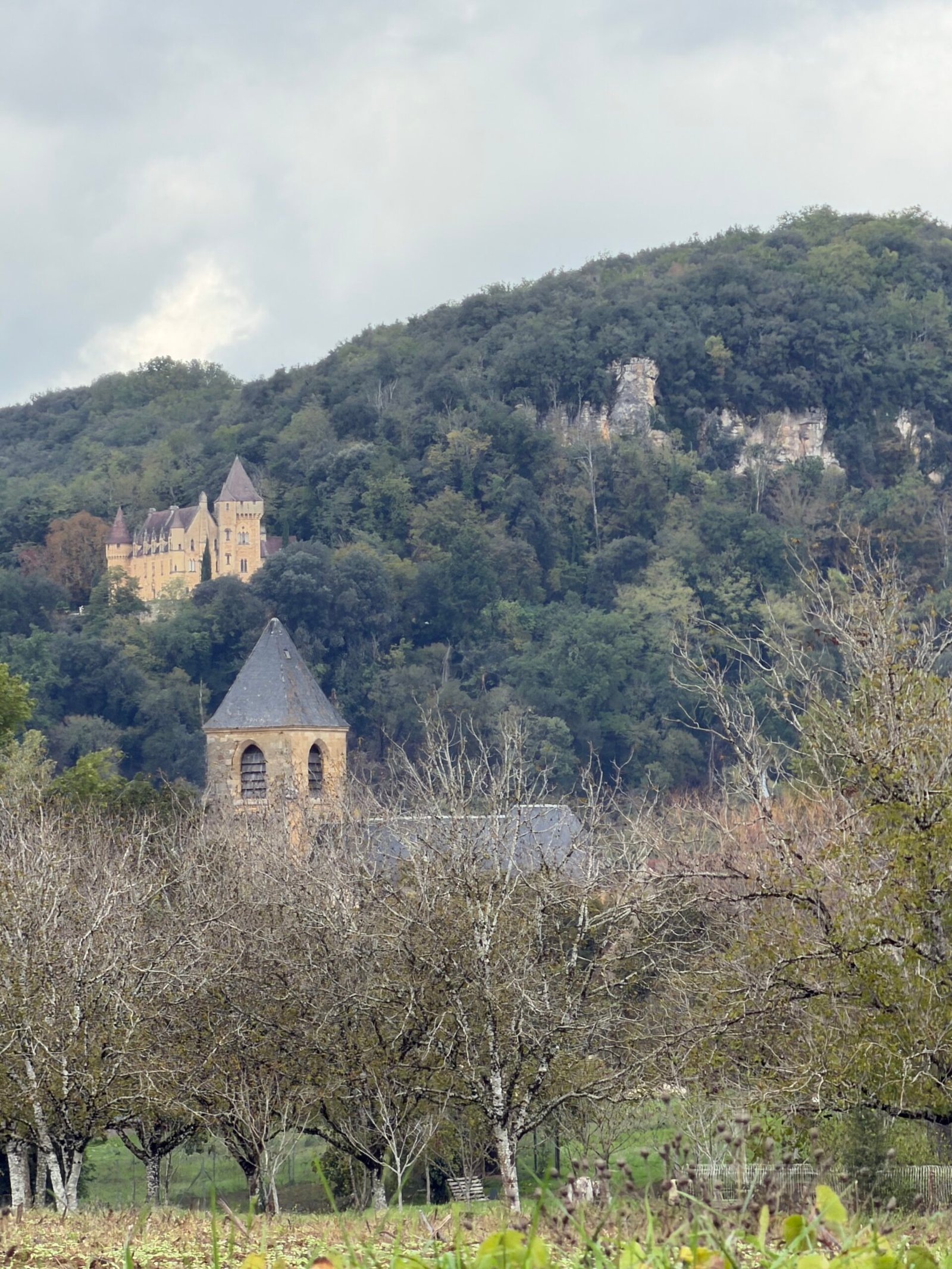
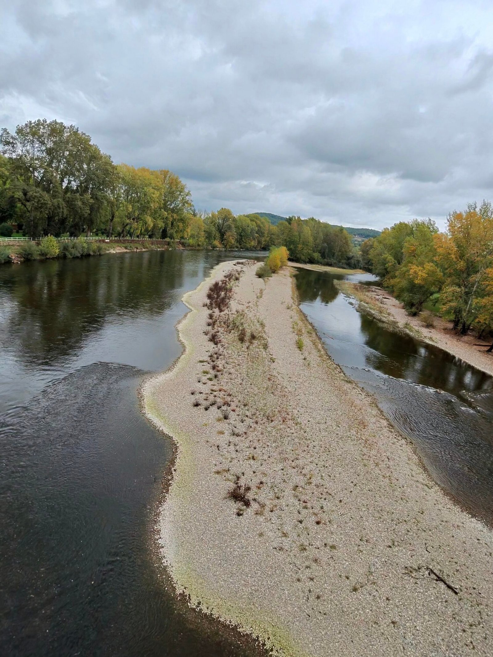
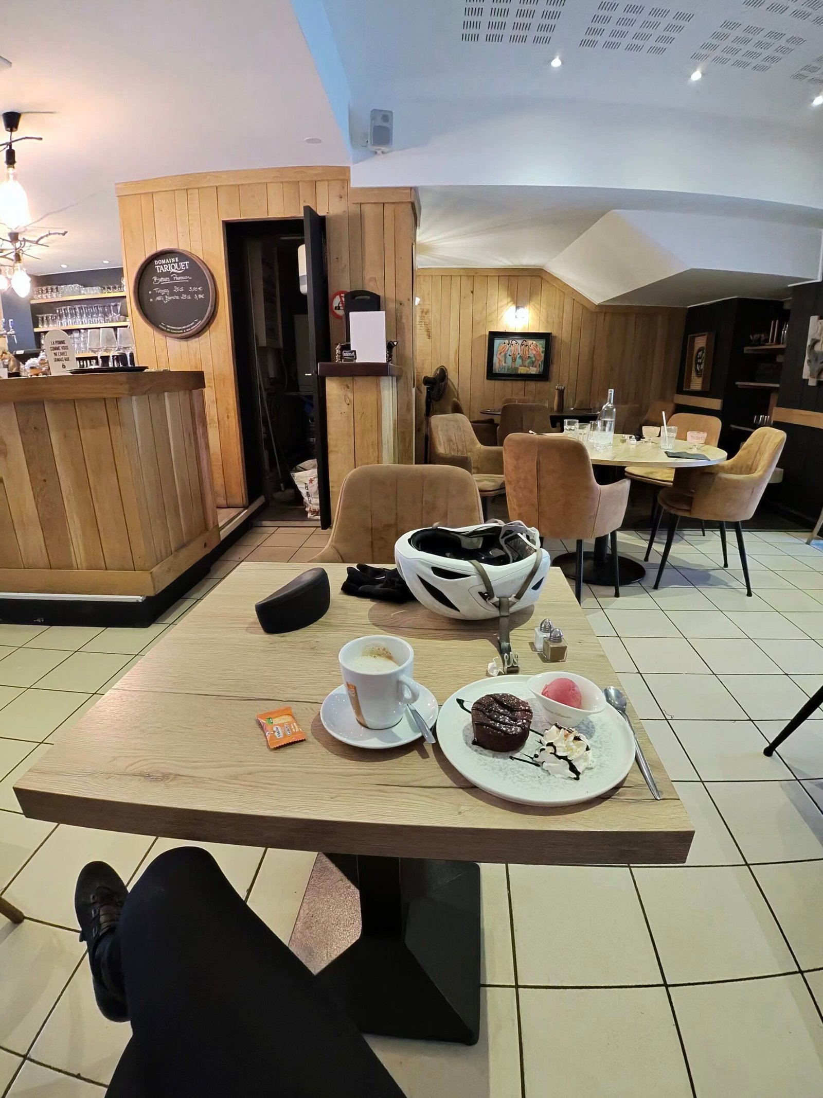
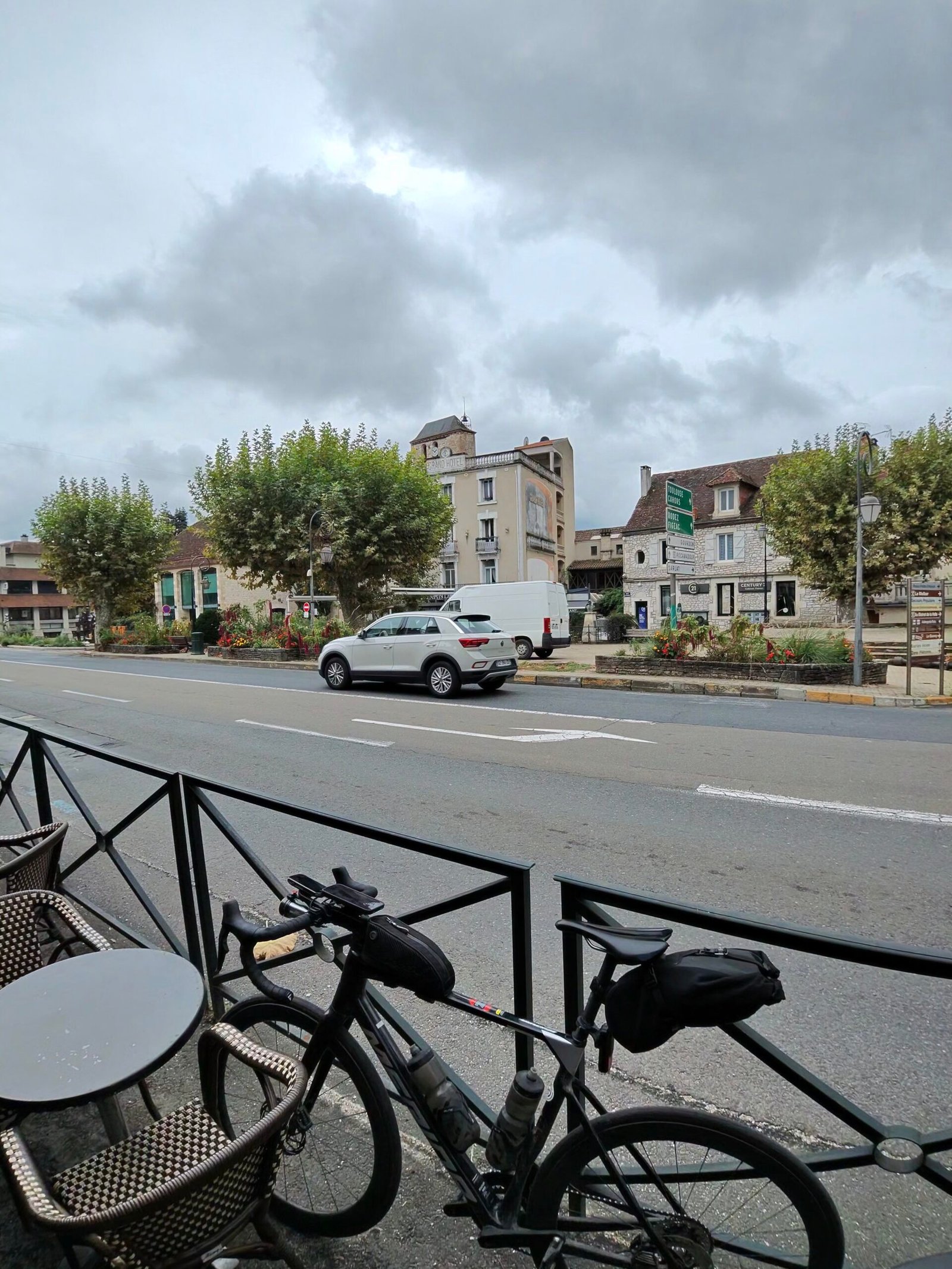
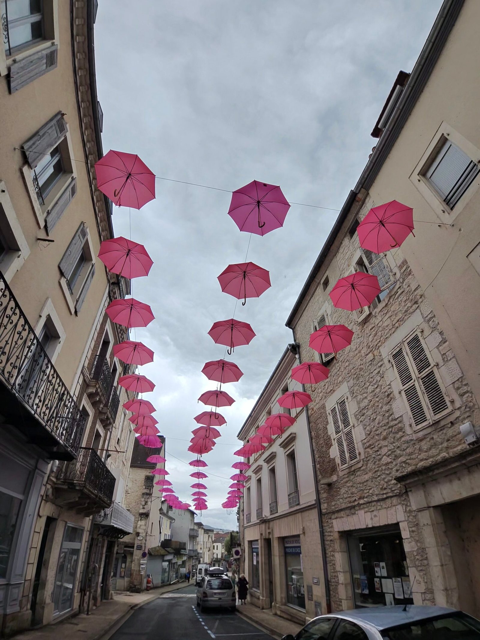
From there the road ran east along the river, flat and fast through Cazoulès and into Souillac, 75 km in and the turning point. I propped the bike against a café railing and took my second half-hour break, coffee and a slice of cake, before wandering out under a street strung with pink umbrellas.
Souillac sits at the bottom of the valley, so the only way home was up. Leaving town the trees had turned a brilliant red, and a couple of kilometres later the road started to climb.
The Col de Grézelade was the climb of the day and Garmin’s only Cat 3: 4.6 km at 4.4%, just over 200 m up out of the Dordogne valley onto the plateau. I settled in at a steady 230 W and let it come to me, sixteen and a half minutes of grinding with the river dropping away below. Then came the D820 south, the old main road to Cahors, rolling over the causse through Payrac with its blue-shuttered houses and views back across the valley.
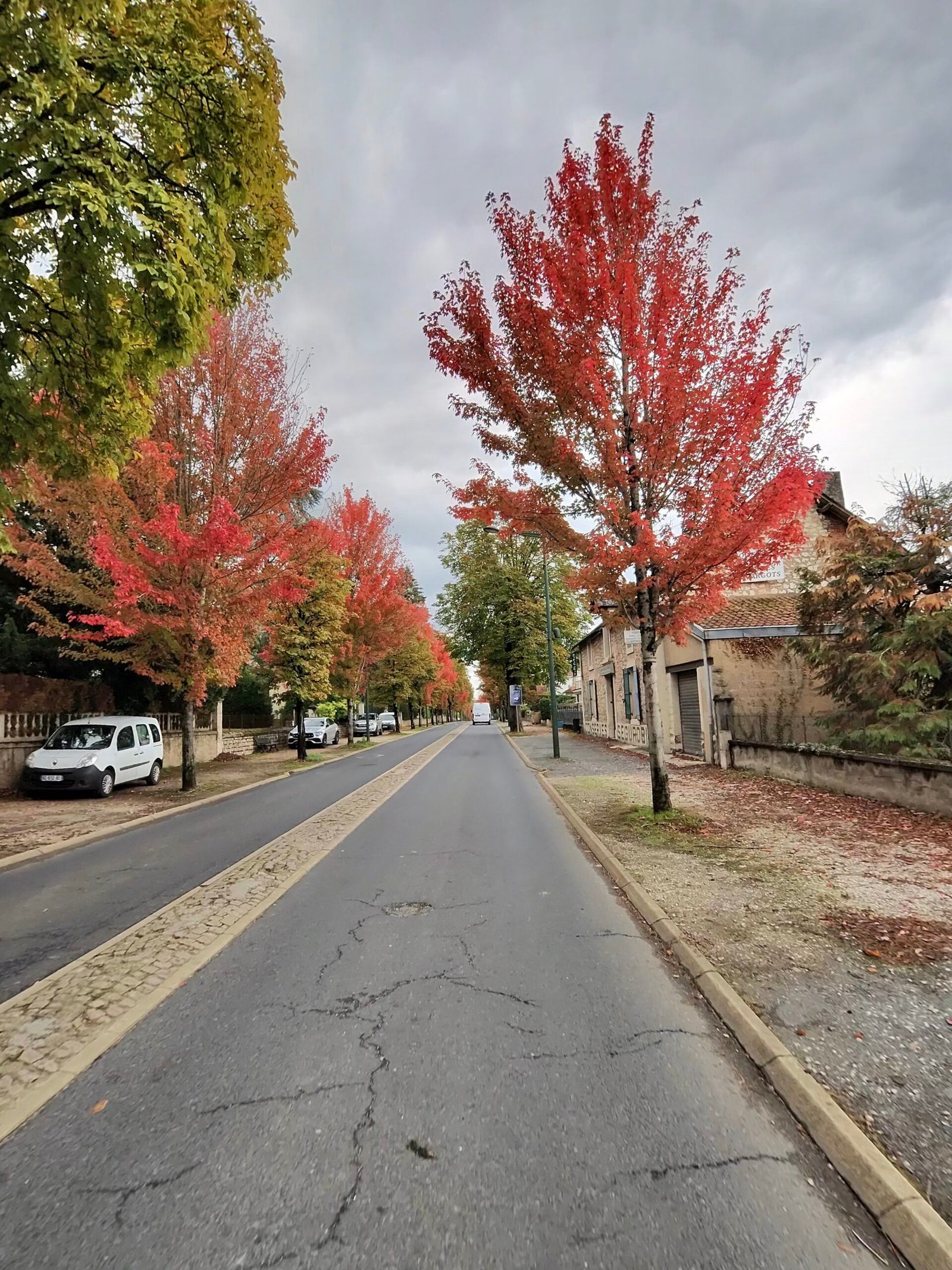
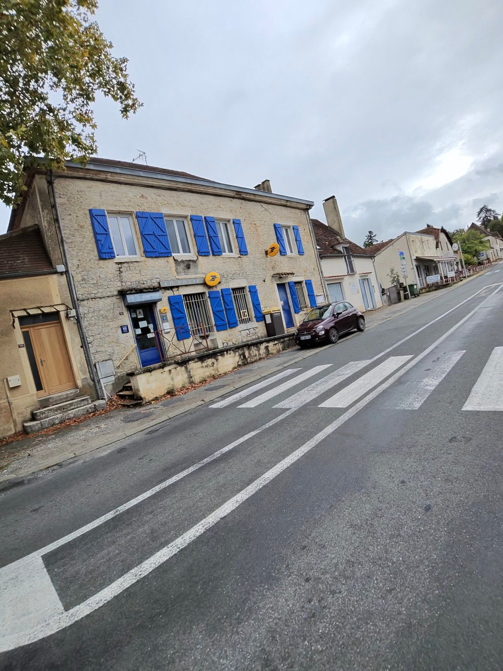
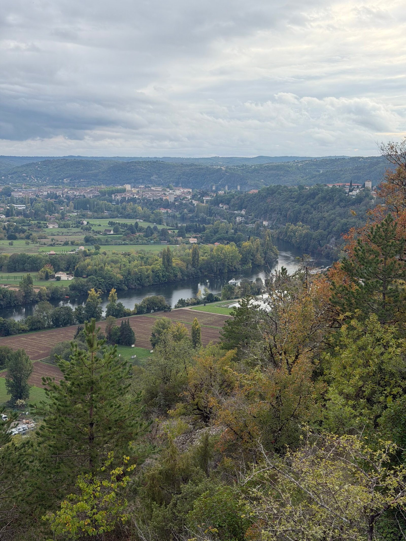
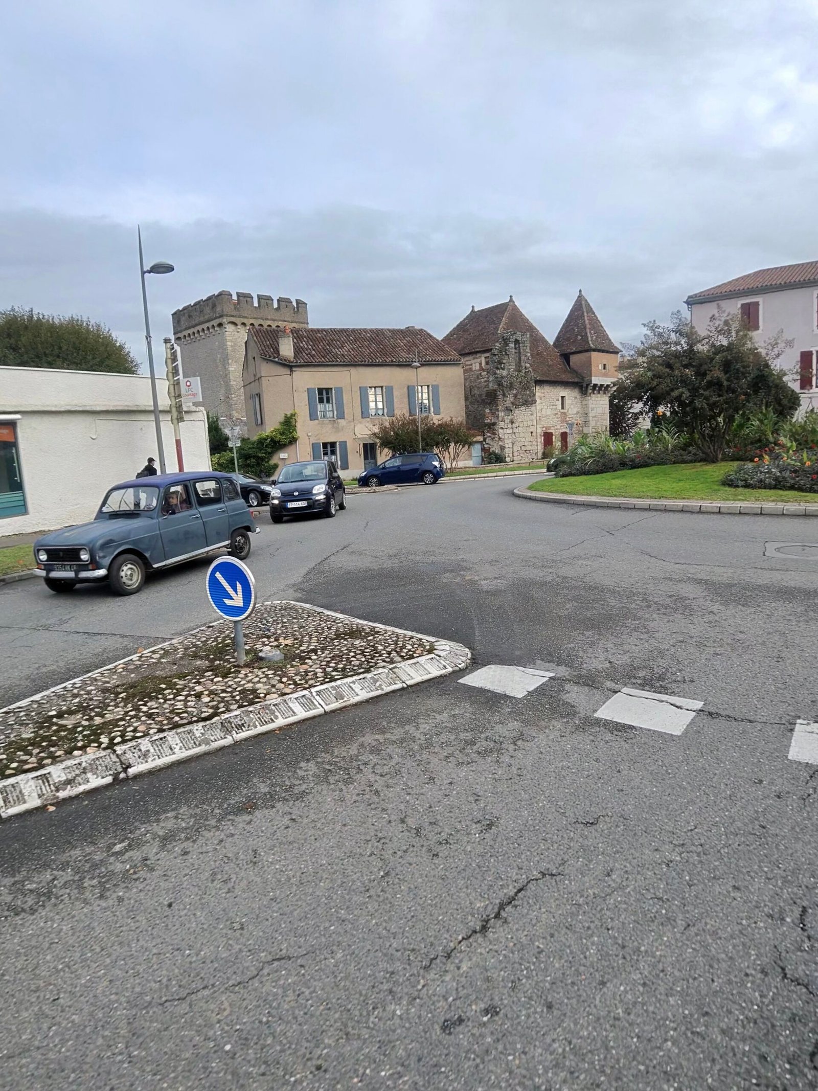
The last 50 km were a long, rolling haul south, with a short pause at 107 km before Garmin’s second Cat 4, 2.1 km at 5%, and plenty of smaller rises after it. The high point of the whole ride, just under 440 m, came a few kilometres later, which left a long, rolling descent of more than 300 m back down to the Lot. The road was quiet for a main route: 283 vehicles passed me all day, and the drop back into the Lot valley gave me a great view over Cahors before the final run into town. Six and three-quarter hours after setting off I was back where I started, 138 km and over 1,700 m of climbing later – two rivers, two cafés and the longest day of the trip.
The numbers
- Ride: #1122 on Strava, ride 251 of 2026, day 131 of the streak
- Distance: 138.3 km
- Moving time: 5:28:29 (6:44:47 elapsed)
- Elevation: 1,733 m
- Average power: 154 W
- Heart rate: 131 bpm average, 166 max
- Cadence: 92 rpm average
- Calories: 3,480 kcal
- Highlight: Col de Grézelade – 4.56 km, 204 m, 16:29 at 229 W
- Conditions: grey and cloudy, 9.5°C, 95% humidity, barely a breath of WSW wind
- Year to date: Distance 20,672 km, Elevation Gain 211,129 m
The route
Download the GPX (start and finish trimmed for privacy)
The profile and climbs
16 climbs: 1 Cat 3, 2 Cat 4, 13 uncategorised. Biggest: 4.6 km at 4.4%, 203 m of climbing (Cat 3, from km 77). Together the climbs account for 842 m of the ride’s ascent.
Cat 3 Cat 4 Uncategorised Pins mark where each Garmin ClimbPro climb starts. Hover or tap a pin for details.
Climbs table
| # | Starts at km | Length | Ascent | Avg grade | Time | Avg power | Category |
|---|---|---|---|---|---|---|---|
| 1 | 9.3 | 0.96 km | 25 m | 2.6% | 2:38 | 241 W | Uncategorised |
| 2 | 17.0 | 1.39 km | 64 m | 4.6% | 5:10 | 227 W | Uncategorised |
| 3 | 22.6 | 2.10 km | 97 m | 4.6% | 7:29 | 245 W | Cat 4 |
| 4 | 45.2 | 0.19 km | 2 m | 1.1% | 0:38 | 70 W | Uncategorised |
| 5 | 45.7 | 0.21 km | 2 m | 1% | 30:36 | 78 W | Uncategorised |
| 6 | 47.6 | 0.82 km | 29 m | 3.6% | 2:28 | 231 W | Uncategorised |
| 7 | 68.3 | 0.60 km | 23 m | 3.9% | 1:48 | 232 W | Uncategorised |
| 8 | 77.1 | 4.65 km | 203 m | 4.4% | 16:32 | 232 W | Cat 3 |
| 9 | 88.3 | 0.59 km | 18 m | 3.1% | 1:40 | 221 W | Uncategorised |
| 10 | 89.8 | 1.30 km | 50 m | 3.8% | 4:13 | 223 W | Uncategorised |
| 11 | 92.5 | 1.64 km | 68 m | 4.1% | 5:35 | 218 W | Uncategorised |
| 12 | 108.5 | 2.10 km | 106 m | 5% | 8:39 | 216 W | Cat 4 |
| 13 | 111.4 | 1.82 km | 61 m | 3.3% | 5:52 | 200 W | Uncategorised |
| 14 | 118.0 | 1.30 km | 63 m | 4.8% | 5:57 | 188 W | Uncategorised |
| 15 | 123.0 | 0.52 km | 19 m | 3.7% | 1:57 | 175 W | Uncategorised |
| 16 | 135.5 | 0.56 km | 12 m | 2.1% | 1:38 | 121 W | Uncategorised |
Saint-Cirq-Lapopie and the Cliff Road
Day two in the Lot, and the weather had turned. I rolled out of Cahors just before nine on a damp Monday morning: under 7°C, a lid of grey cloud, wet roads and hardly a breath of wind. After yesterday’s ride west along the river to Puy-l’Évêque (Meanders of the Lot), today pointed the other way: up onto the causse to Saint-Cirq-Lapopie, then home along the valley floor.
The first few kilometres followed the Lot upstream out of town towards Arcambal, the roads shiny with rain and the villages still quiet.
At Arcambal the road turns uphill. The Côte d’Arcambal on the D8 is the climb of the day, and Garmin rated it Cat 3: just over 4 km at a steady 4%, winding up out of the valley onto the limestone plateau and into the Parc naturel régional et géoparc des Causses du Quercy, the regional nature park and geopark that I crossed all the way to Saint-Cirq-Lapopie. Up top the road rolled across the Plateau de Lapeyre, open and quiet, with one shorter, steeper kick a few kilometres later before the long run to the edge of the Lot valley.
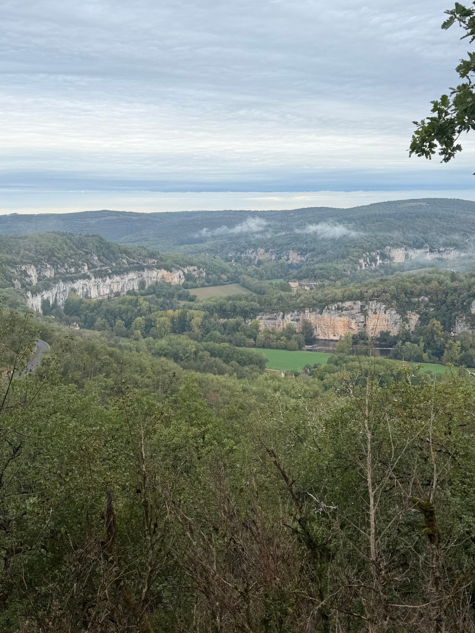
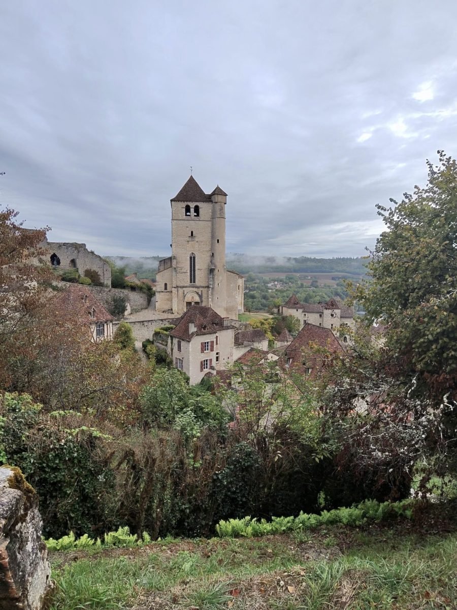
Saint-Cirq-Lapopie was the reason for the ride, and it didn’t disappoint. I stopped first at the viewpoint above the village to look out over the Lot valley, its pale cliffs standing out against the wooded hills, then again for the village itself: the church tower and a jumble of stone houses perched on the edge of the drop, set off by the reds and golds of autumn.
Even under a grey sky it lived up to its billing as one of the most beautiful villages in France, and my Strava comment said it in one word: stunning. Then came the reward for the climbing, a quick drop down to the bridge over the Lot below the village and the turn for home, downstream along the valley, past a road painted with the department’s slogan, Le Lot, bien plus qu’une étape.
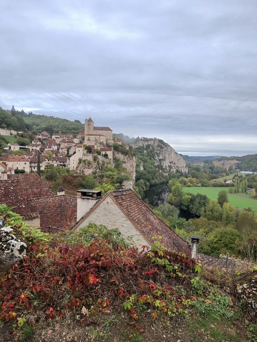

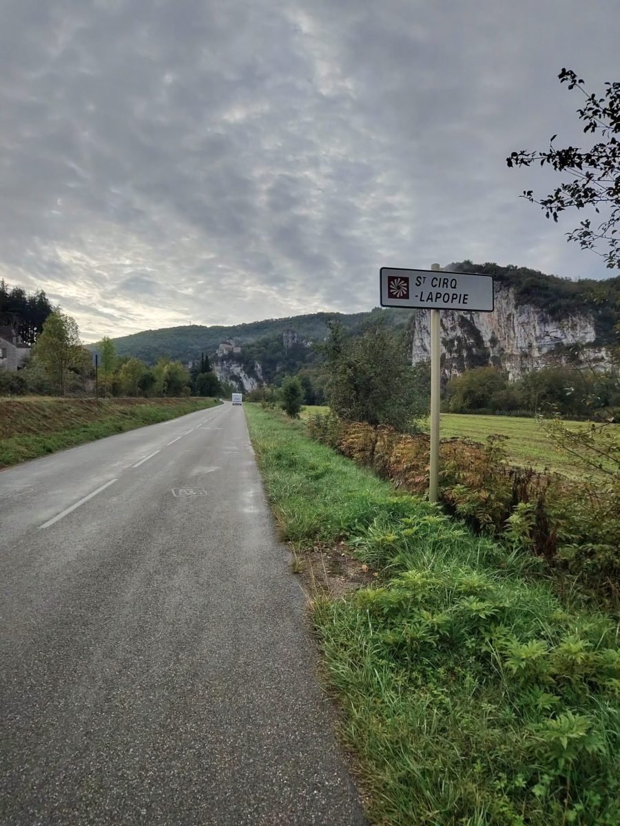
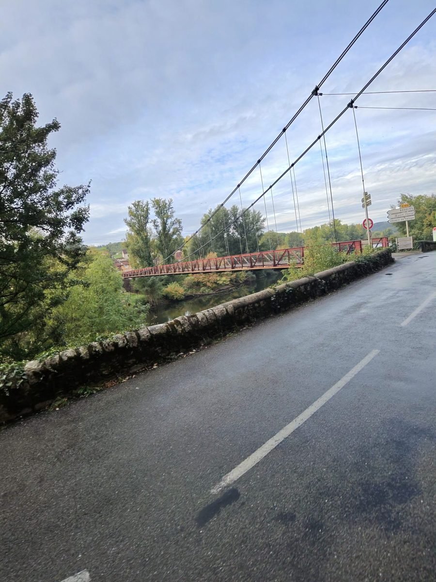
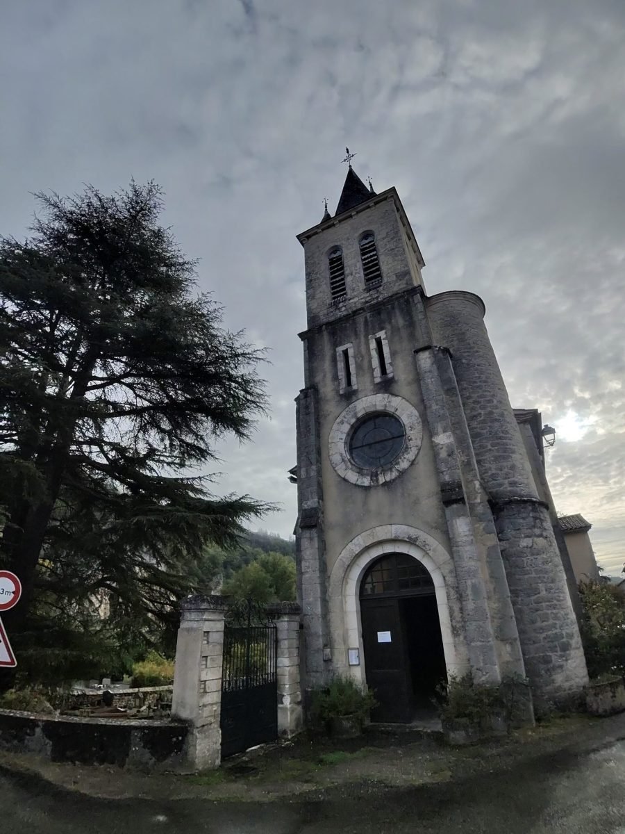
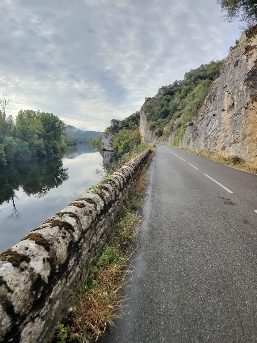
At Bouziès I made a short detour, crossing the Lot on the old suspension bridge to the village and its church, the Église Saint-Léger, stopping for a photo and then riding back over to pick up my route. From there the road became the highlight of the second half: cut into the foot of the cliffs, with a low stone wall on one side and the rock face hanging over the other.
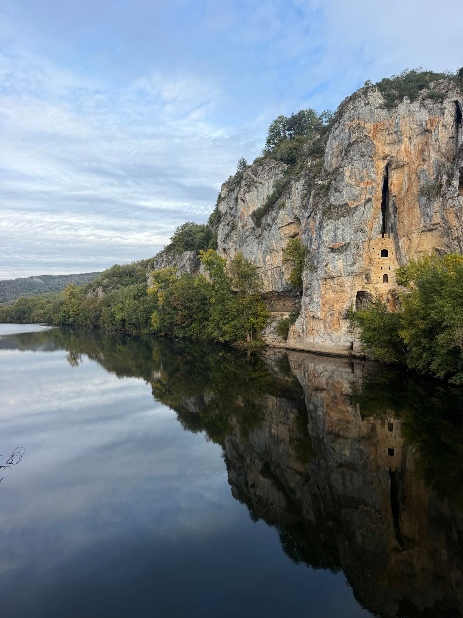
The Lot was perfectly still that morning, mirroring the cliffs and the troglodytic Château des Anglais, a medieval refuge built into the rock face and best seen from the bridge. After all the climbing on the way out, the way home was almost flat, so I settled into a steady rhythm and let the scenery do the work.
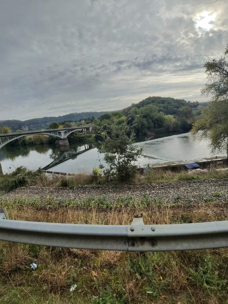
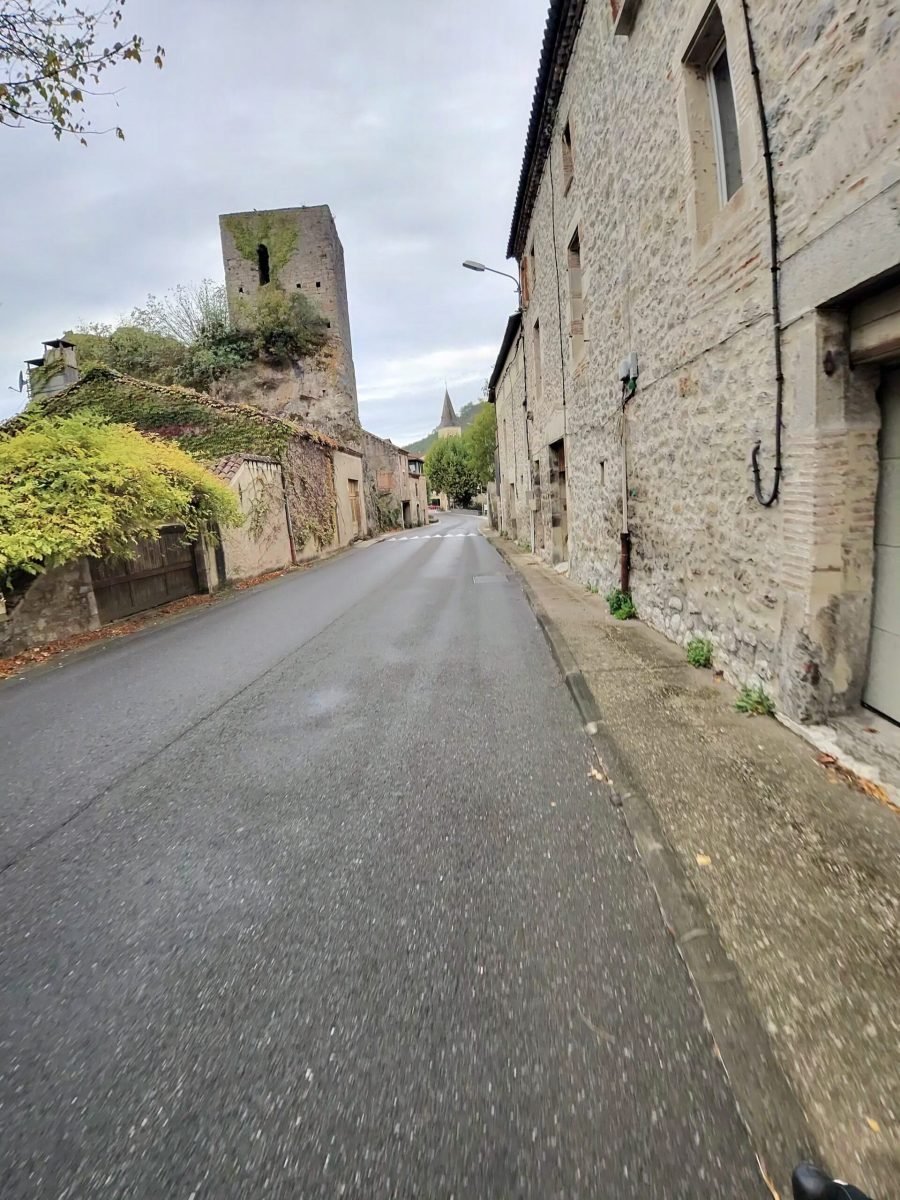
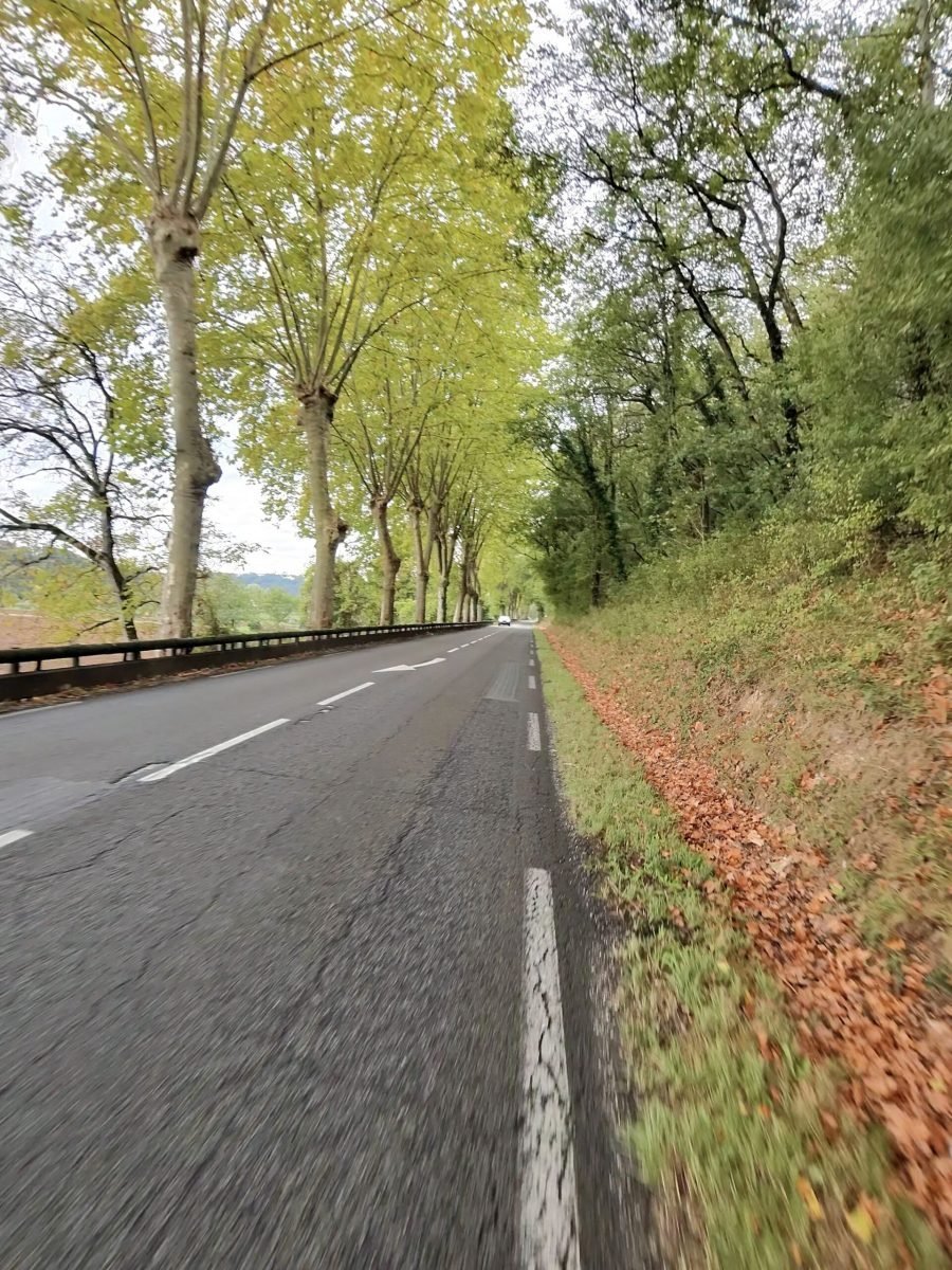
Downstream the valley opens out through Saint-Géry, Vers, Lamagdelaine and Laroque-des-Arcs, now part of Bellefont-La Rauze, past its old stone tower and long lines of plane trees dropping their leaves onto the verges.
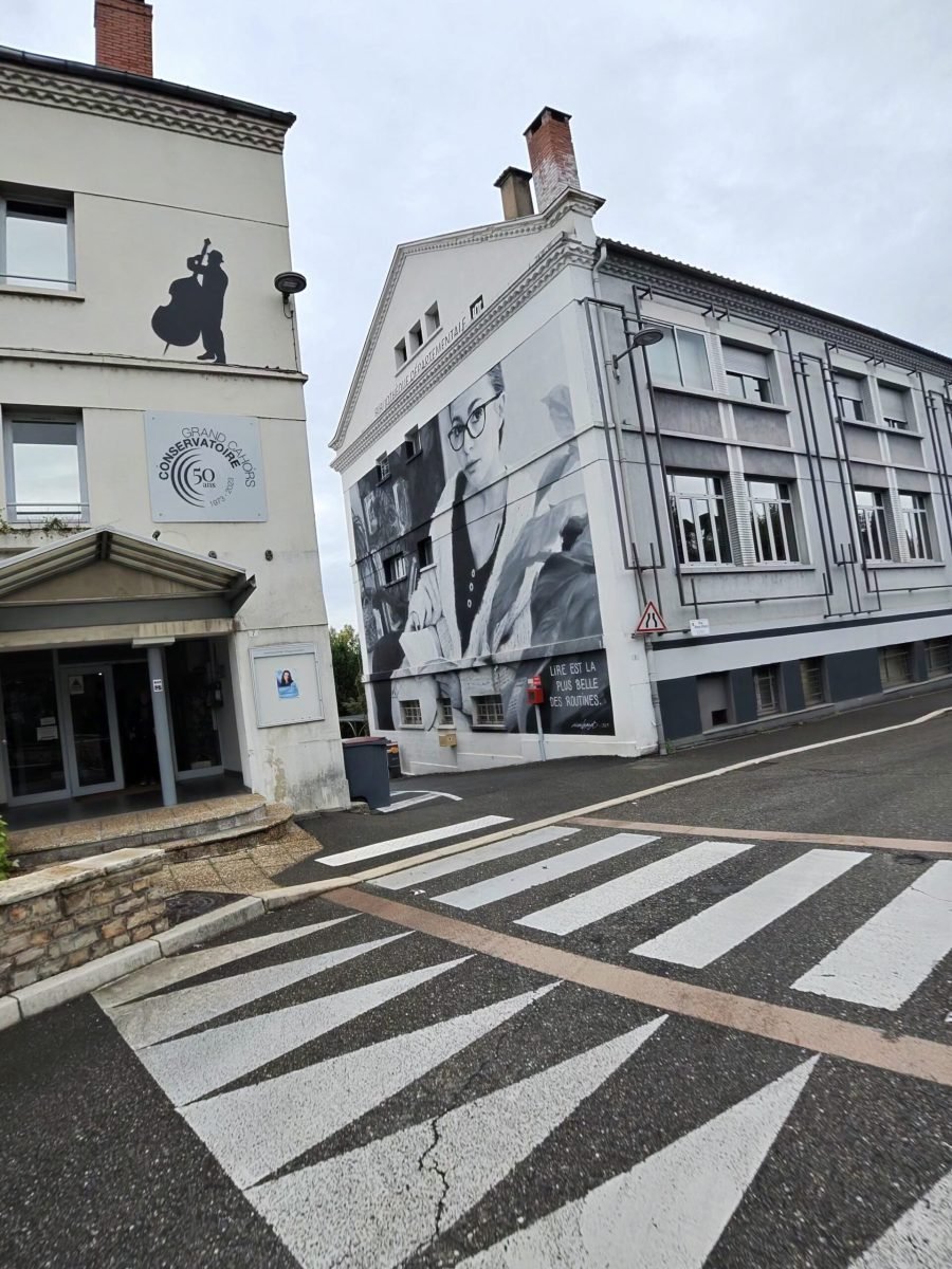
Then it was back into Cahors, past the big black-and-white mural near the finish, with the afternoon still free for a trip out to the caves at the Gouffre de Padirac. Sixty-one kilometres, one Cat 3 climb, a hilltop village and a cliff road, all before lunch – grey skies or not, a stunning morning in the Lot.
The numbers
- Ride: #1121 on Strava, ride 250 of 2026, day 130 of the streak
- Distance: 61.2 km
- Moving time: 2:34:04 (2:44:55 elapsed)
- Elevation: 473 m
- Average power: 110 W (no power data for the first 10 km)
- Heart rate: 124 bpm average, 157 max
- Cadence: 93 rpm average
- Calories: 1,539 kcal
- Highlight: Côte Arcambal-Les Mazuts (D8) – 4.09 km, 198 m, 15:53
- Conditions: grey and damp, wet roads, 6.7°C (feels like 7.4°C), 89% humidity, a light easterly
- Year to date: Distance 20,534 km, Elevation Gain 209,396 m
The route
Download the GPX (start and finish trimmed for privacy)
The profile and climbs
2 climbs: 1 Cat 3, 1 uncategorised. Biggest: 4.1 km at 4.1%, 166 m of climbing (Cat 3, from km 9). Together the climbs account for 220 m of the ride’s ascent.
Cat 3 Uncategorised Pins mark where each Garmin ClimbPro climb starts. Hover or tap a pin for details.
Climbs table
| # | Starts at km | Length | Ascent | Avg grade | Time | Avg power | Category |
|---|---|---|---|---|---|---|---|
| 1 | 8.8 | 4.06 km | 166 m | 4.1% | 15:54 | 215 W | Cat 3 |
| 2 | 16.1 | 0.97 km | 54 m | 5.6% | 4:05 | 234 W | Uncategorised |
Meanders of the Lot
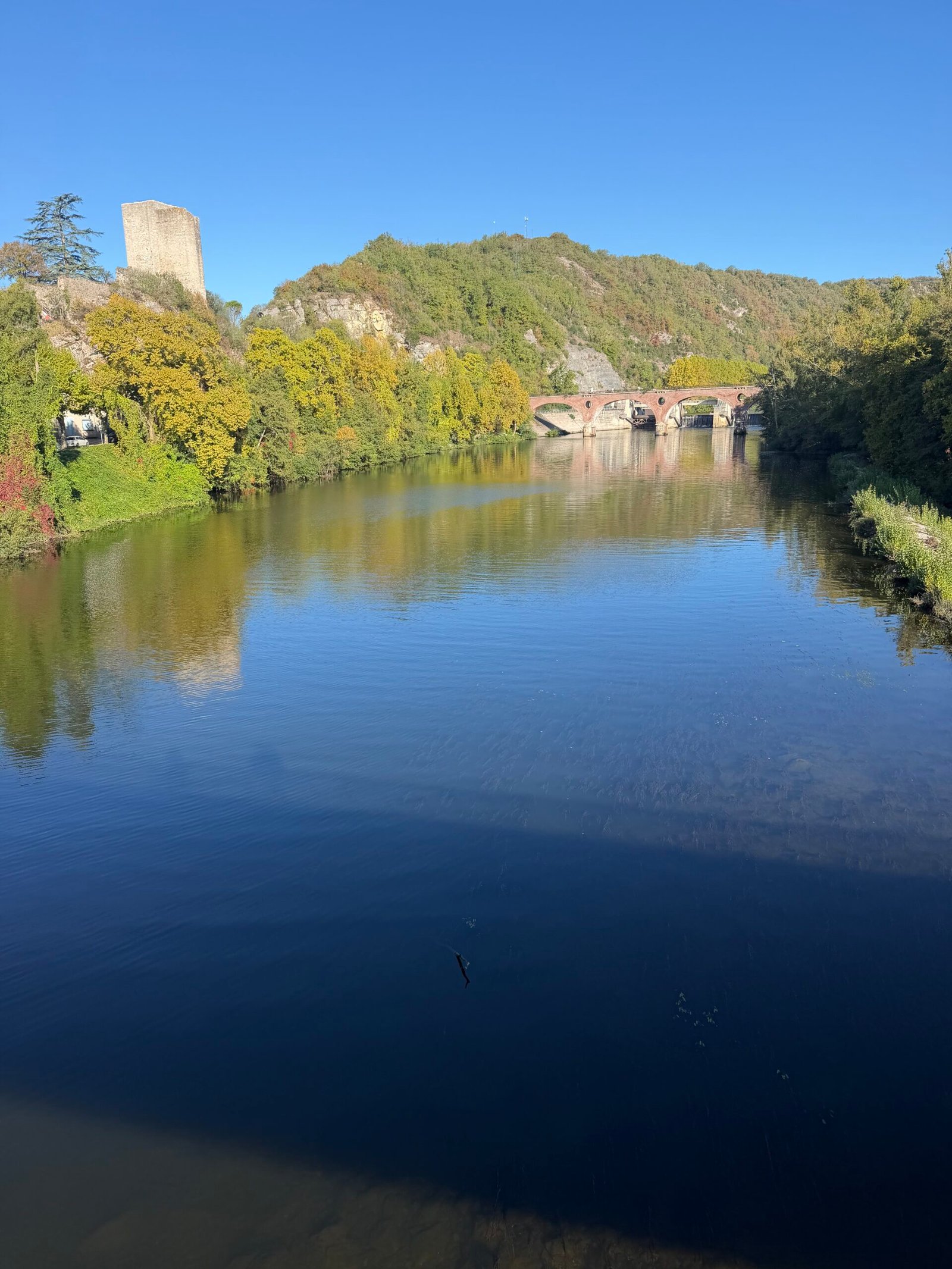
Cahors is home for the next week. After the half-way stop in Tours, this was the first proper day in the Lot, and I rolled out just before quarter to ten on a chilly Sunday morning: a touch under 9°C, barely a breath of wind and a clear blue sky. The plan was simple: follow the river west to Puy-l’Évêque and find a hillier way back.
The Lot loops back on itself so often that you never stray far from it. Out through Pradines and past Douelle the road stayed close to the water, and after 17 km I rolled into Luzech, where the old square donjon looks down over the river, the bridge and the dam.
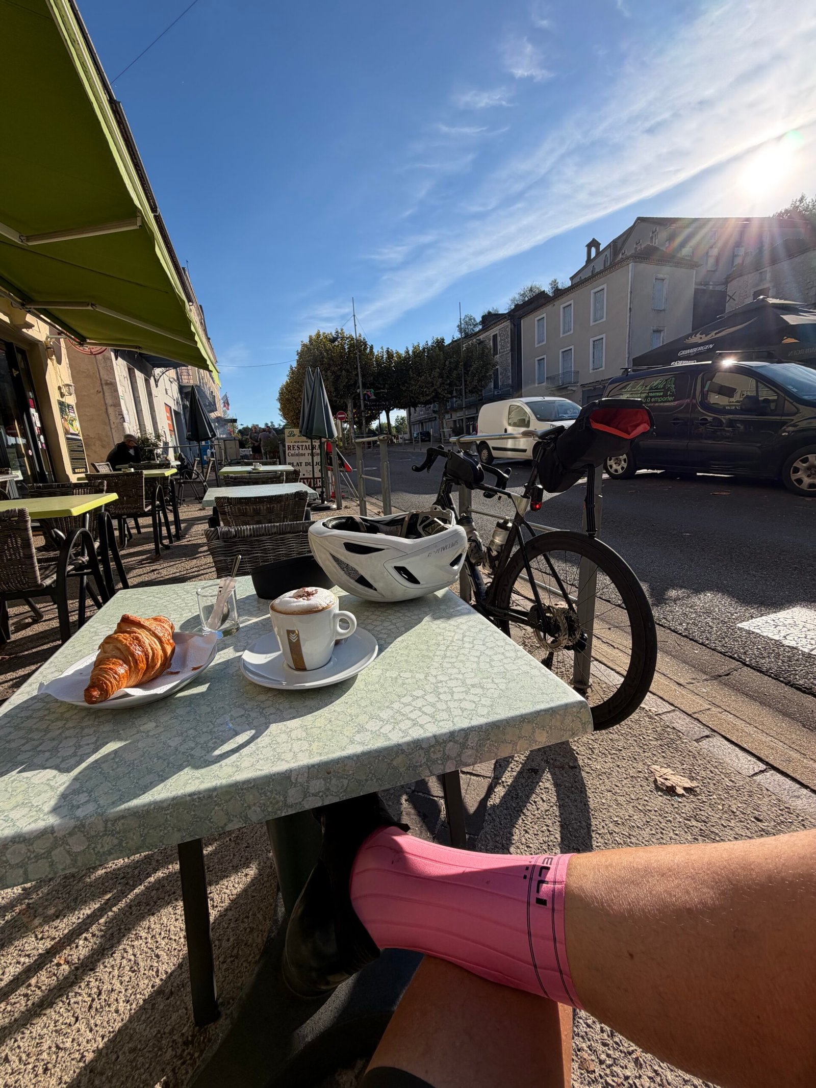
Luzech was the coffee stop: a cappuccino and a croissant in the sunshine on the terrace at Le Luz d’Olt, the bike propped up behind the table and twenty minutes of doing very little. It was the only proper stop of the day.
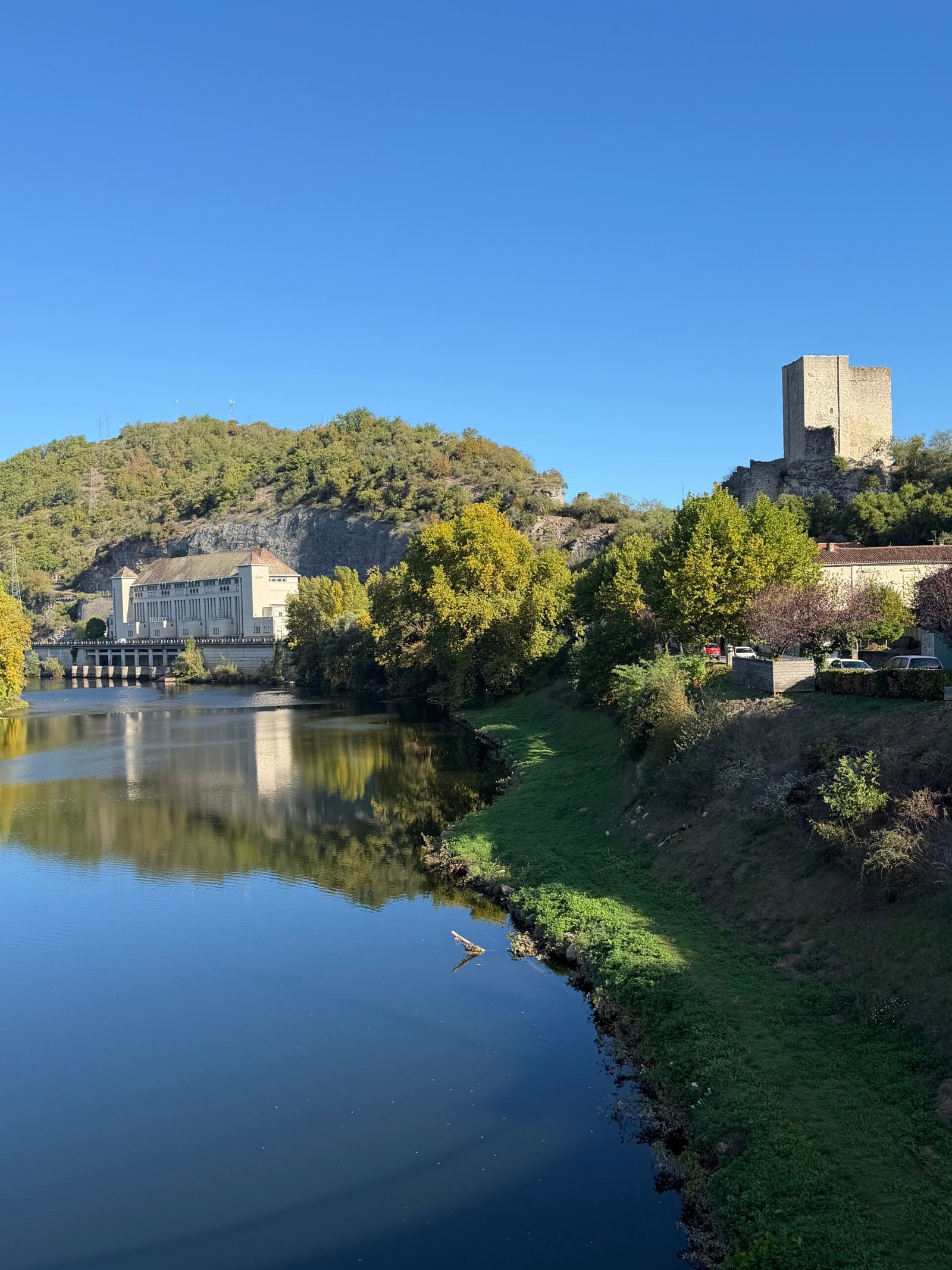
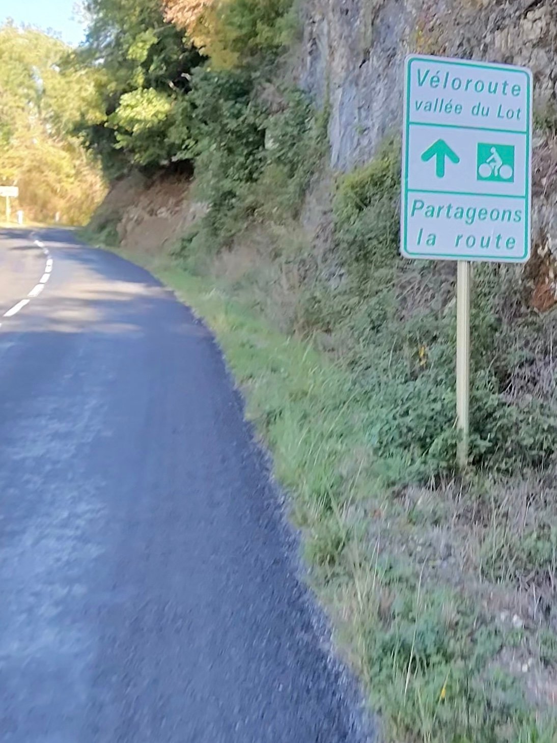
Beyond Luzech the route joins the Véloroute vallée du Lot, where the signs ask everyone to share the road, and the traffic was kind all day: just 92 vehicles passed me in 84 km.
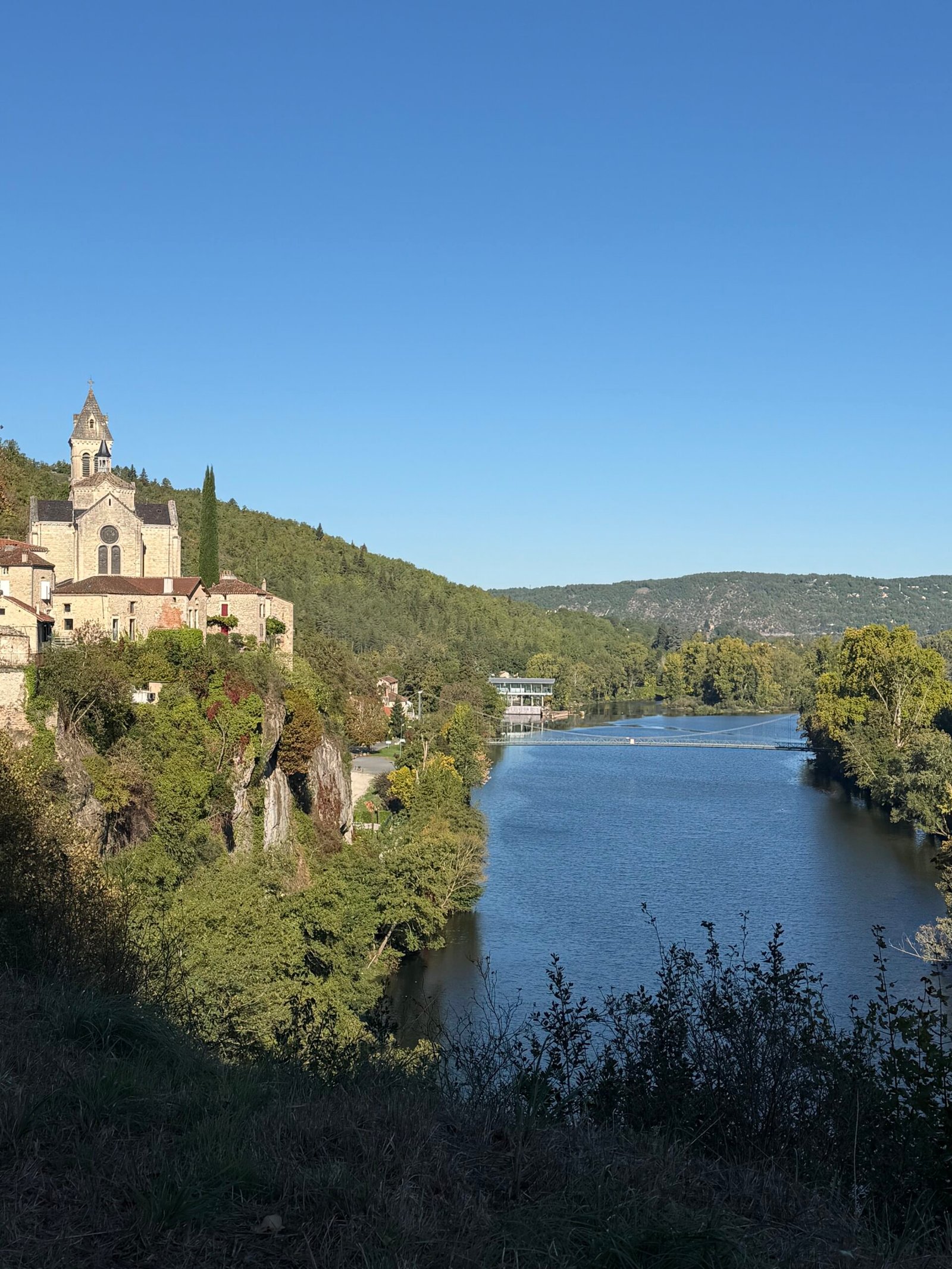
Albas was the first of the villages that make this route. Its church sits on a cliff straight above the river, and I stopped twice to look back at it. Then it was on through Castelfranc, with a short pause by the river, and Prayssac, the valley opening out between vineyards and wooded hills.
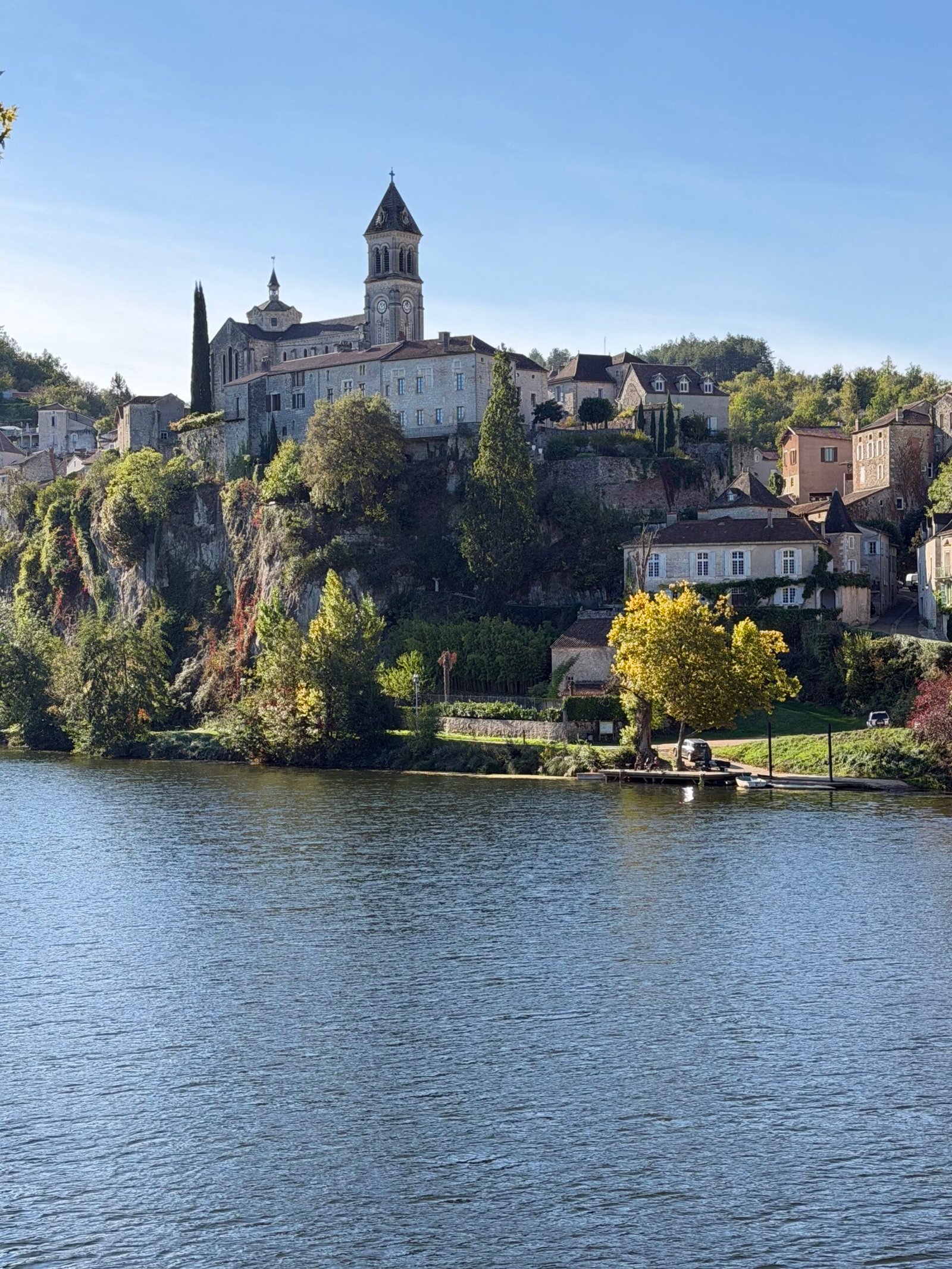
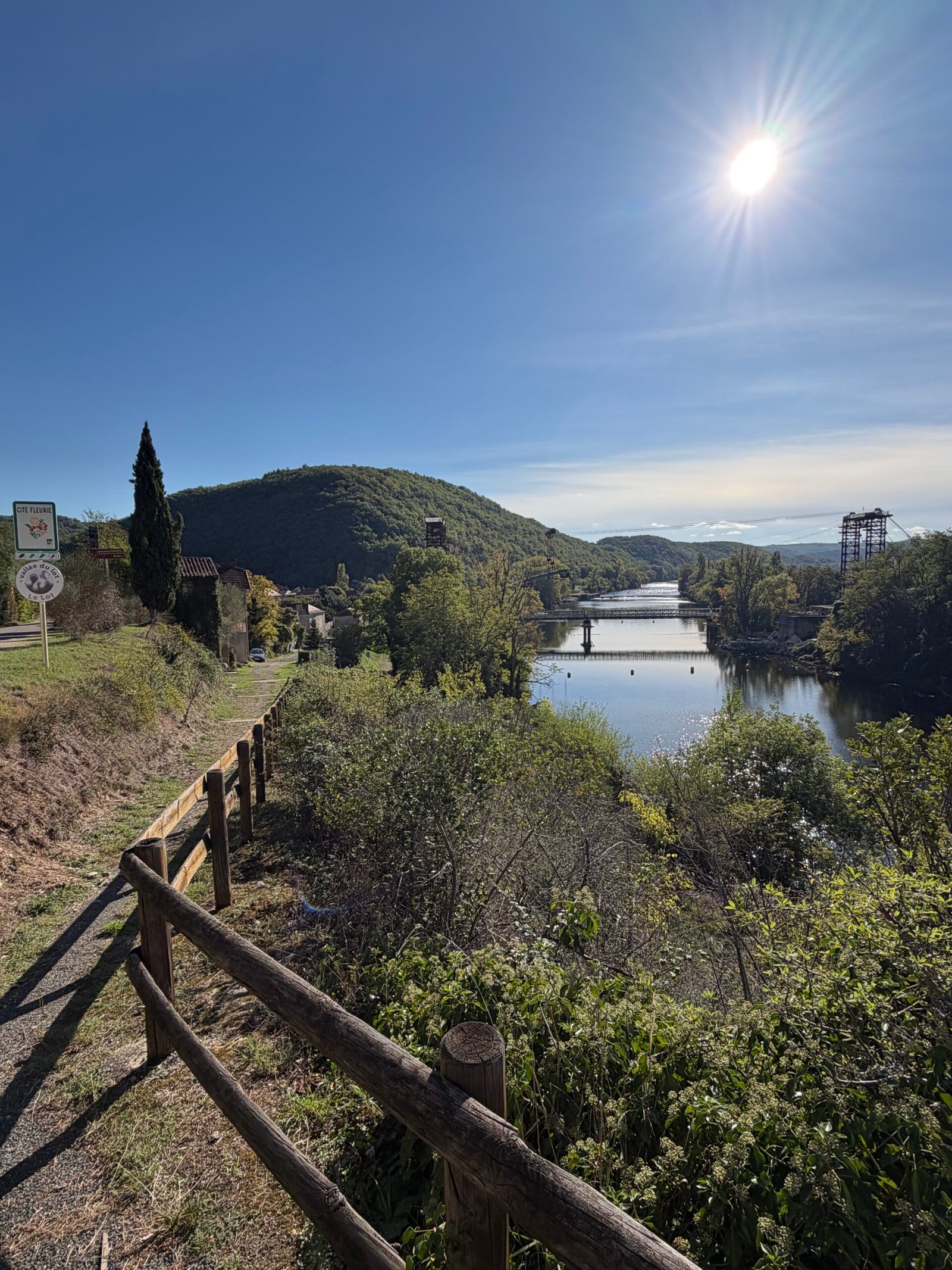
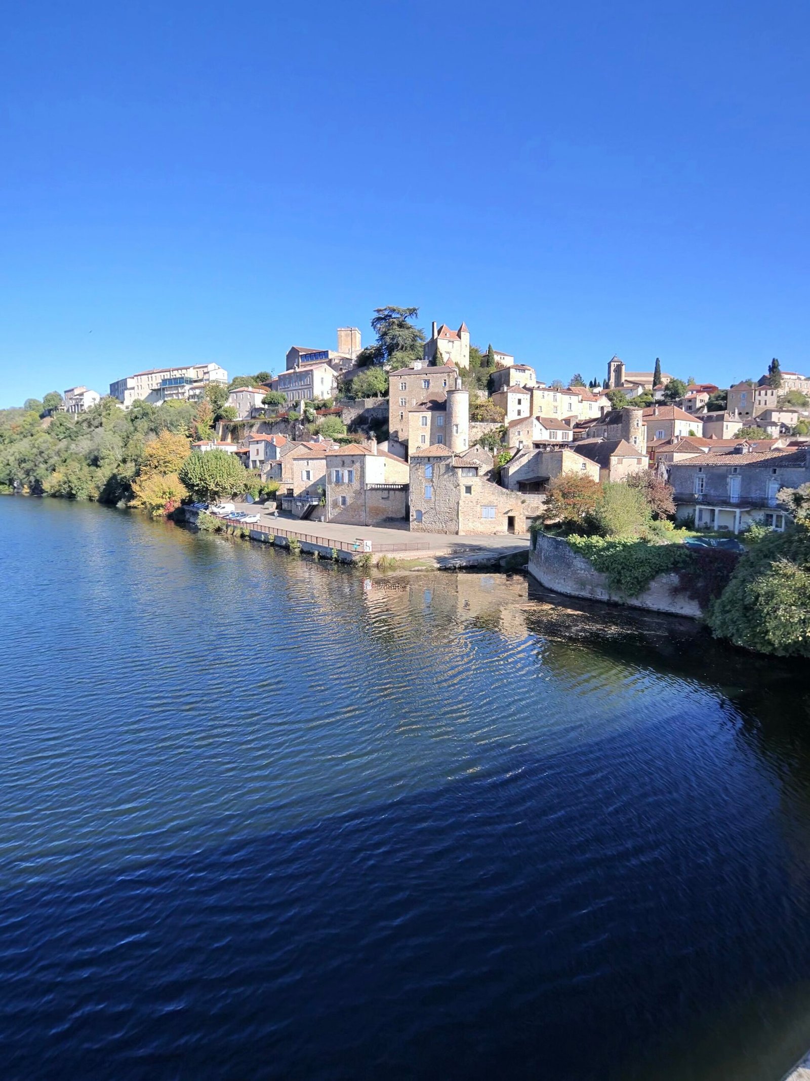
Puy-l’Évêque was the turning point, a town of honey-coloured stone stacked up the hillside above the water, and it looked its best in the late-morning sun. I crossed the river and turned for home.
Home meant hills. The first climb, which Garmin rated Cat 4, wound up through Grézels to the hilltop village of Bélaye: 3.4 km and nearly 120 m. After dropping back down towards the river, the second Cat 4 was the hardest part of the day, almost 4 km and 145 m up onto the plateau around Sauzet. Its steepest stretch, the Sarnau climb, took me 6:26 at 240 W.
Up top the character of the ride changed completely: rolling farmland through Sauzet, Villesèque and Labastide-Marnhac, small villages gathered around their churches, and very little traffic. From there it was a fast run back down into Cahors.
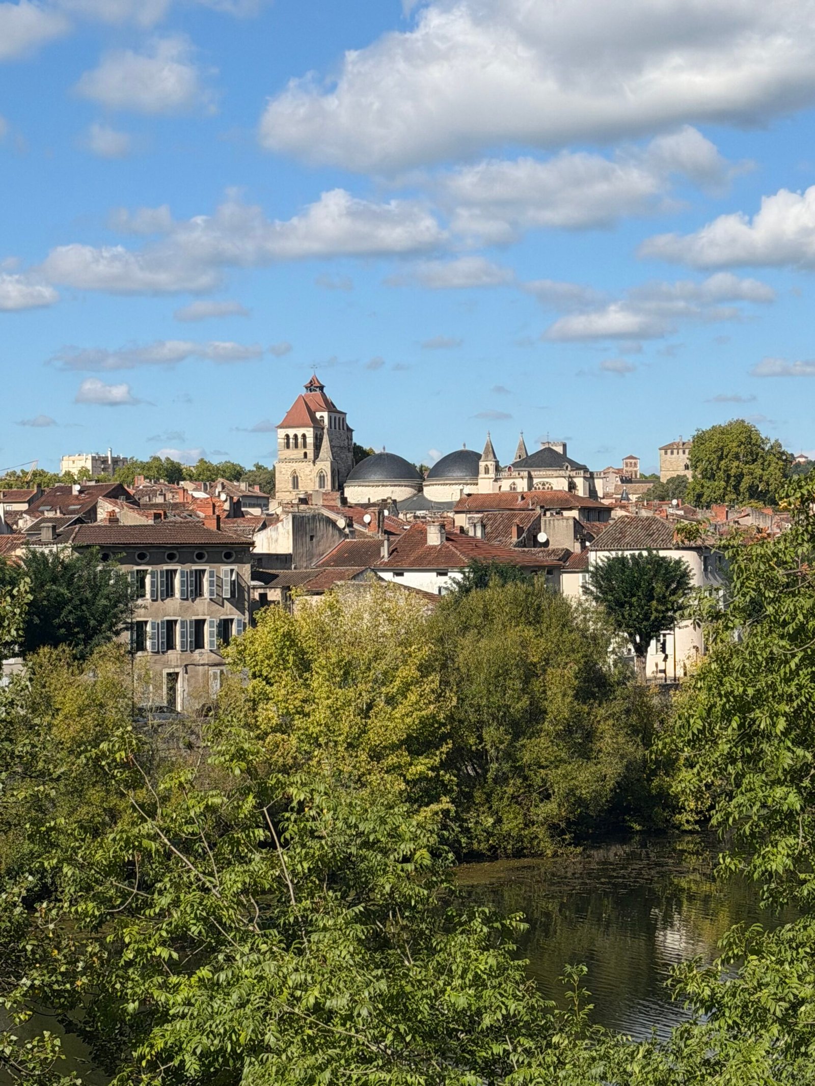
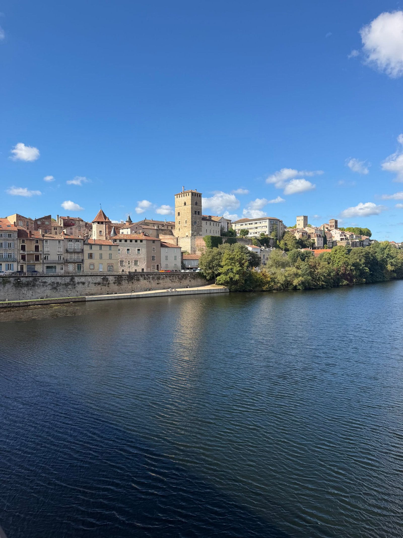
Rather than head straight home I took the long way round the city, along the river below the cathedral’s domes and the old quays, and finished at the Pont Valentré, the fortified medieval bridge whose three towers still stand guard over the Lot. Under the gilet I was in Giro pink, the colour of the Maglia Rosa, the race leader’s jersey – fitting enough for the opening stage of the week.
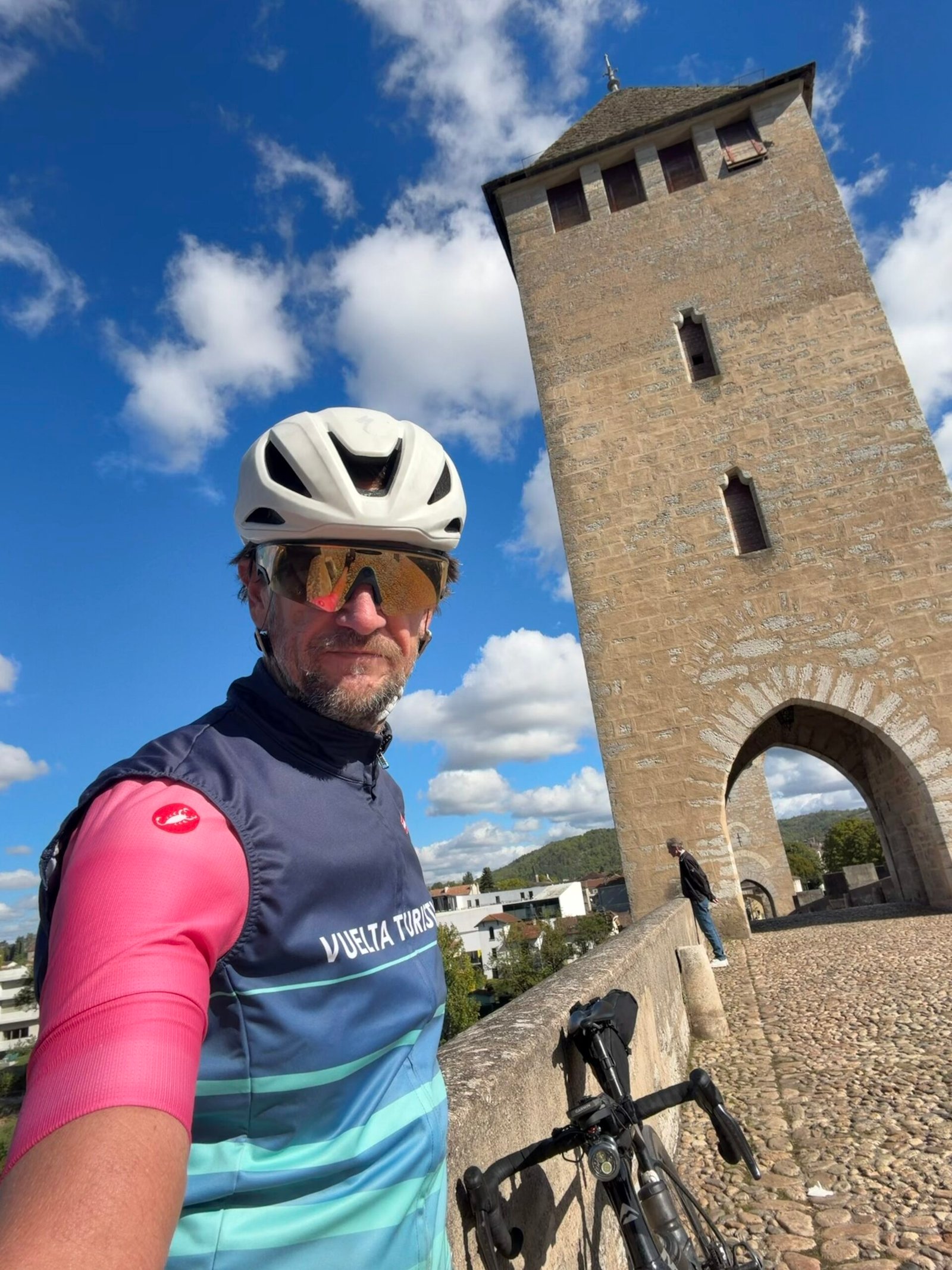

Rivers, cliffs, castles and hilltop villages, and hardly a car to spoil them – no shortage of spectacular scenery, and a very good first day in the Lot.
The numbers
- Ride: #1120 on Strava, ride 249 of 2026, day 129 of the streak
- Distance: 84.3 km
- Moving time: 3:32:18 (4:19:04 elapsed)
- Elevation: 940 m
- Average power: 146 W
- Heart rate: 119 bpm average, 159 max
- Cadence: 91 rpm average
- Calories: 2,139 kcal
- Highlight: Sarnau Climb – 1.60 km, 90 m, 6:26 at 240 W
- Conditions: cloudy to start, then sunshine, 8.6°C (feels like 6.9°C), 84% humidity, a 10 km/h north-north-westerly
- Year to date: Distance 20,473 km, Elevation Gain 208,923 m
The route
Download the GPX (start and finish trimmed for privacy)
The profile and climbs
8 climbs: 2 Cat 4, 6 uncategorised. Biggest: 3.8 km at 3.8%, 145 m of climbing (Cat 4, from km 52). Together the climbs account for 457 m of the ride’s ascent.
Cat 4 Uncategorised Pins mark where each Garmin ClimbPro climb starts. Hover or tap a pin for details.
Climbs table
| # | Starts at km | Length | Ascent | Avg grade | Time | Avg power | Category |
|---|---|---|---|---|---|---|---|
| 1 | 2.3 | 1.01 km | 30 m | 3% | 3:10 | 223 W | Uncategorised |
| 2 | 6.7 | 0.88 km | 40 m | 4.5% | 2:57 | 254 W | Uncategorised |
| 3 | 13.0 | 1.10 km | 39 m | 3.6% | 3:15 | 244 W | Uncategorised |
| 4 | 19.3 | 0.60 km | 32 m | 5.3% | 2:00 | 284 W | Uncategorised |
| 5 | 21.8 | 0.72 km | 22 m | 3% | 2:50 | 213 W | Uncategorised |
| 6 | 40.8 | 3.36 km | 118 m | 3.5% | 10:49 | 235 W | Cat 4 |
| 7 | 52.4 | 3.83 km | 145 m | 3.8% | 12:11 | 252 W | Cat 4 |
| 8 | 69.0 | 0.95 km | 31 m | 3.3% | 3:17 | 187 W | Uncategorised |