Friday was my second-to-last day in Cahors. Having filled in the vineyards to the north-west the evening before, I pointed the bike south-east this time, to tick off a corner of the map I still hadn’t ridden. The forecast had rain in it, and the wind was blowing from the west-south-west.
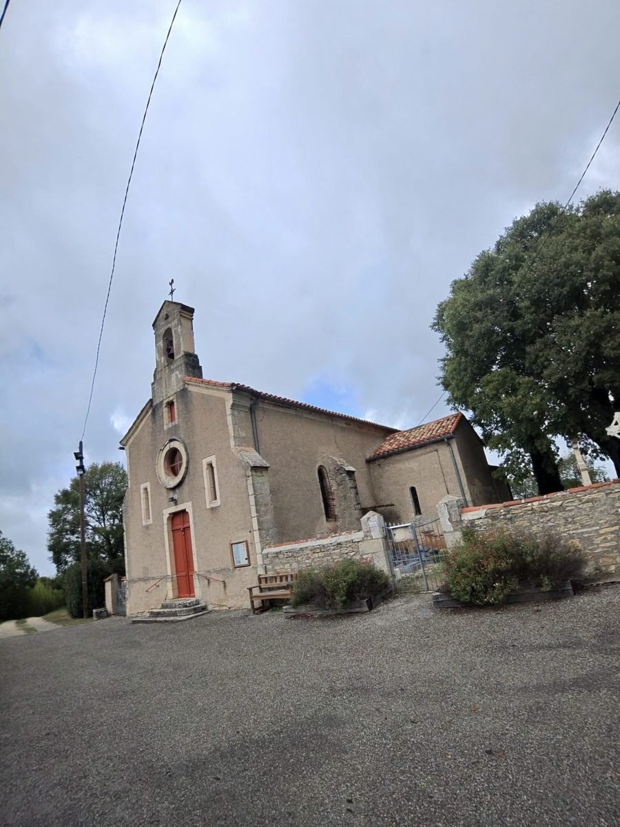
There was no gentle warm-up. Barely 2 km out of town the road starts up the Côte du Mont-Saint-Cyr, nearly 4 km of steady climbing that Garmin rated Cat 3 – the toughest of the day by some way. Over the top I passed the little church at Vayrols, red door and all, and the lanes opened out onto the limestone plateau.
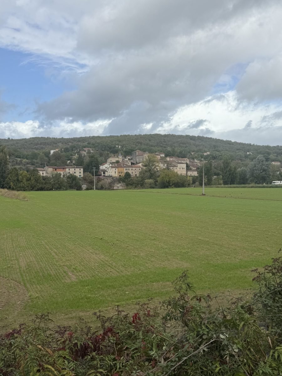
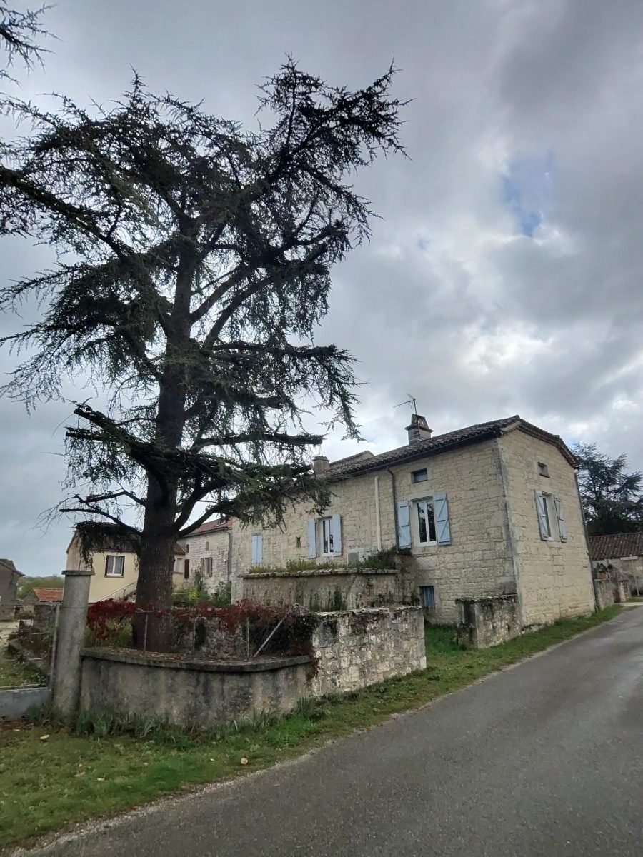
Flaujac-Poujols brought a cluster of short, sharp rises, three of them in the space of 4 km and each close to 6%, before the road ran on to Laburgade. Out here the fields stretched away to villages perched on the hillsides, and there was a fine old cedar standing guard in front of a stone house by the road.
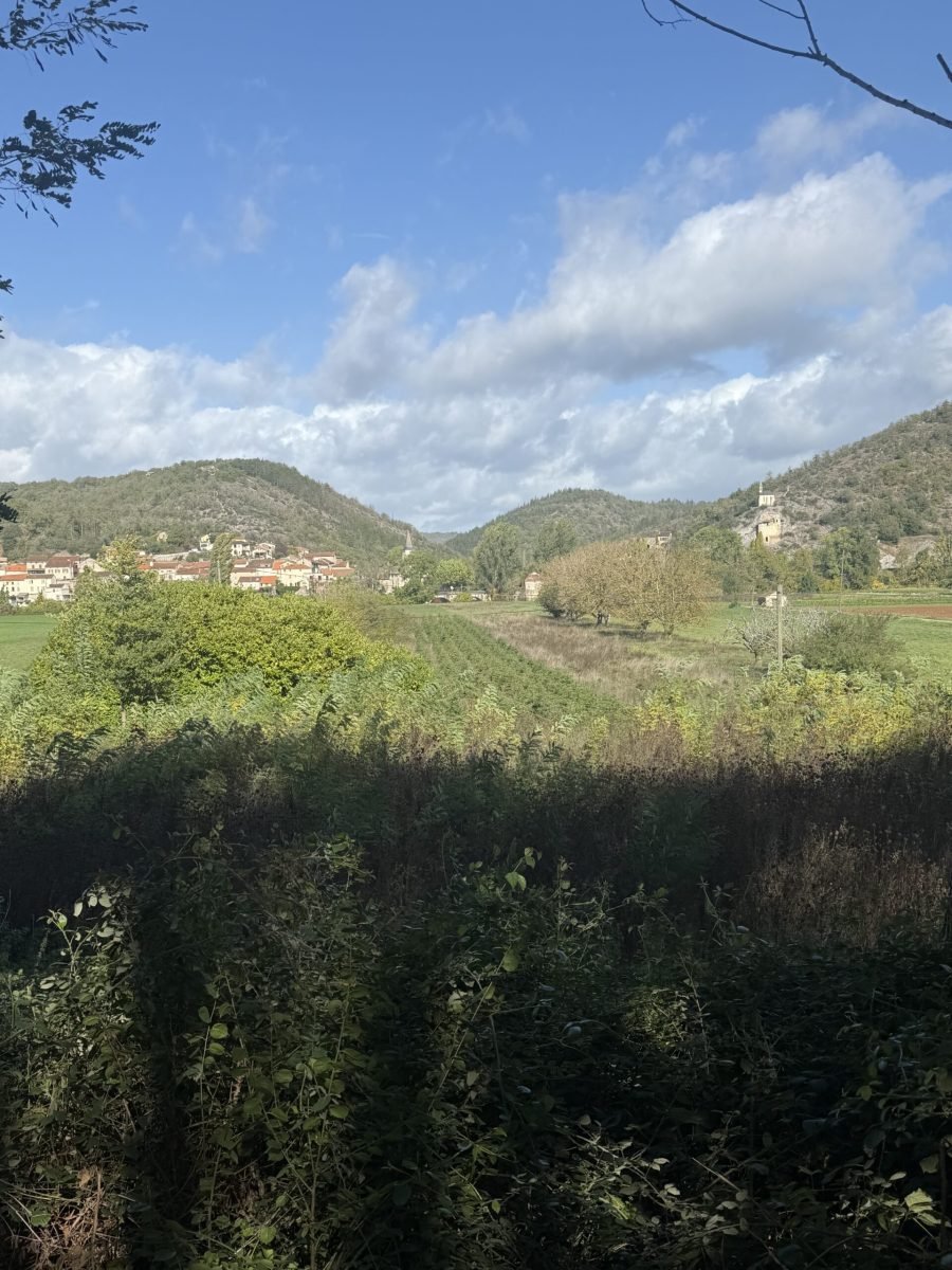
From Laburgade the D22 carried me on to Cremps, with views across the valley to the wooded hills beyond. The sky couldn’t make up its mind, switching between heavy grey and patches of blue, and the roads were still wet in places. A couple more rises came and went around Cremps, the second of them a kilometre at 5%.
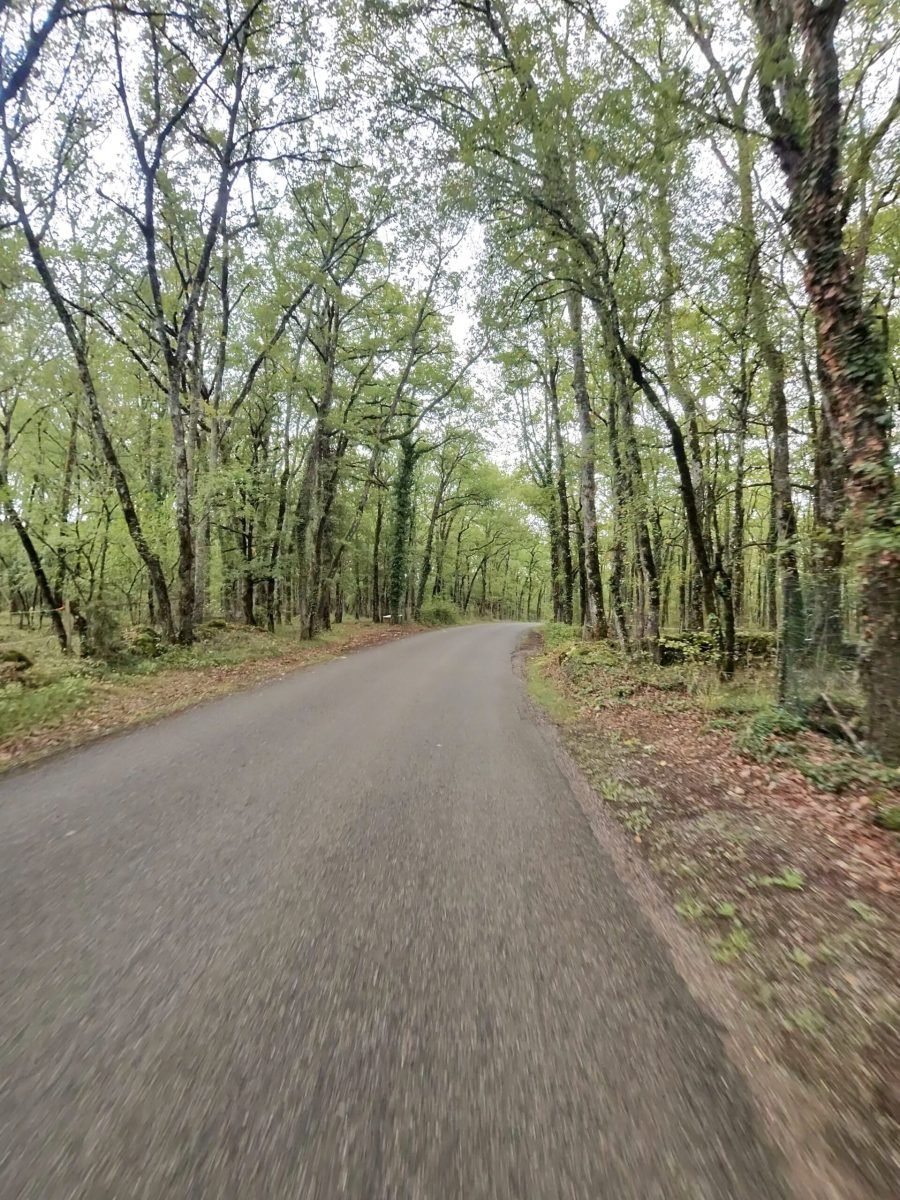
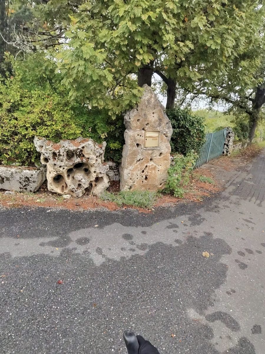
It was wonderfully quiet: just 41 vehicles passed me all ride. Beyond Cremps a lane ran between tall trees, and on one corner I passed a few weathered limestone blocks, pitted with holes, with a small plaque set into a standing stone.
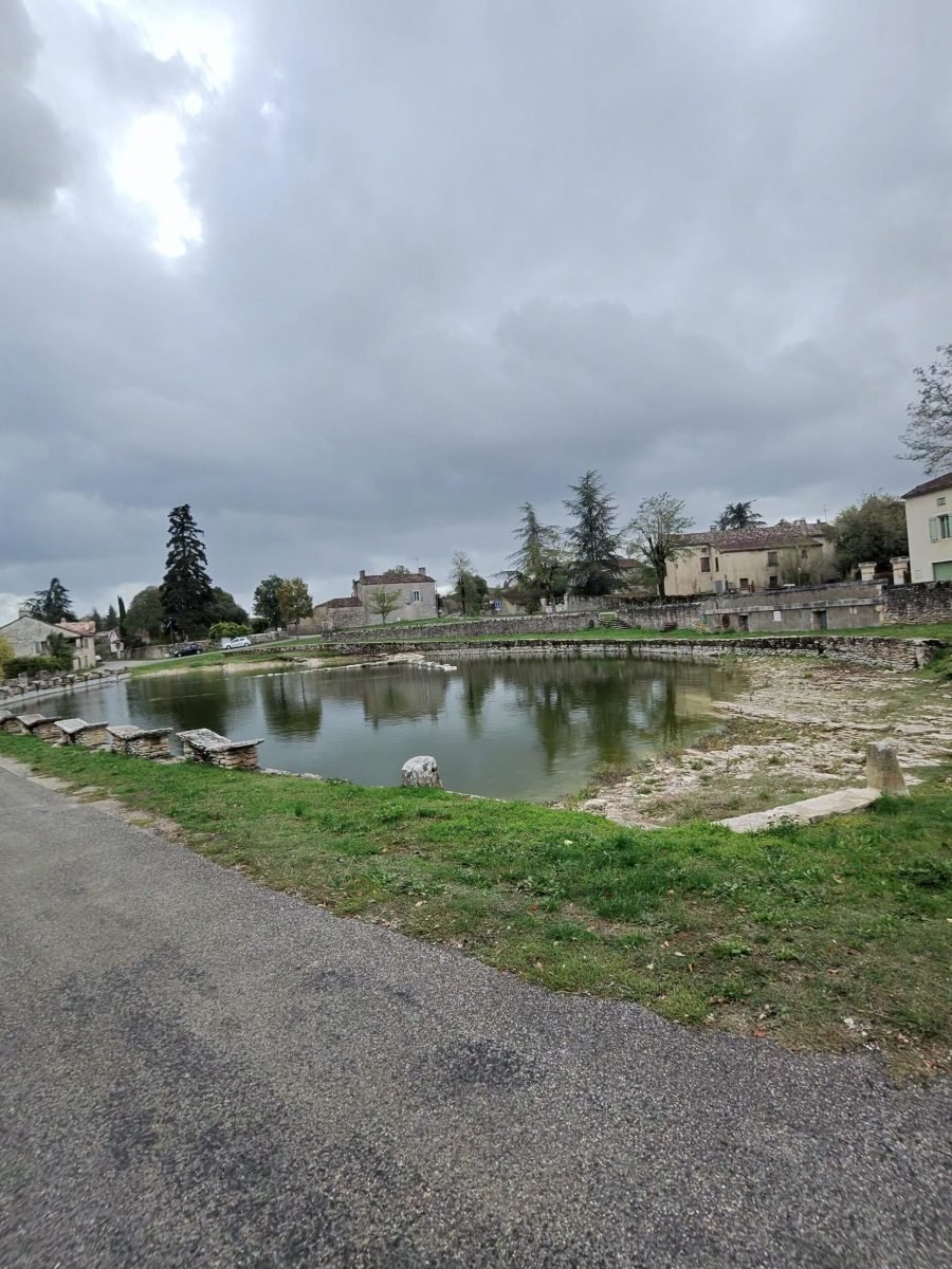
Aujols was the last of the new villages, its stone-edged pond reflecting the houses and cypresses under a grey sky. From there the road gradually gave up its height on the way down towards the Lot valley.
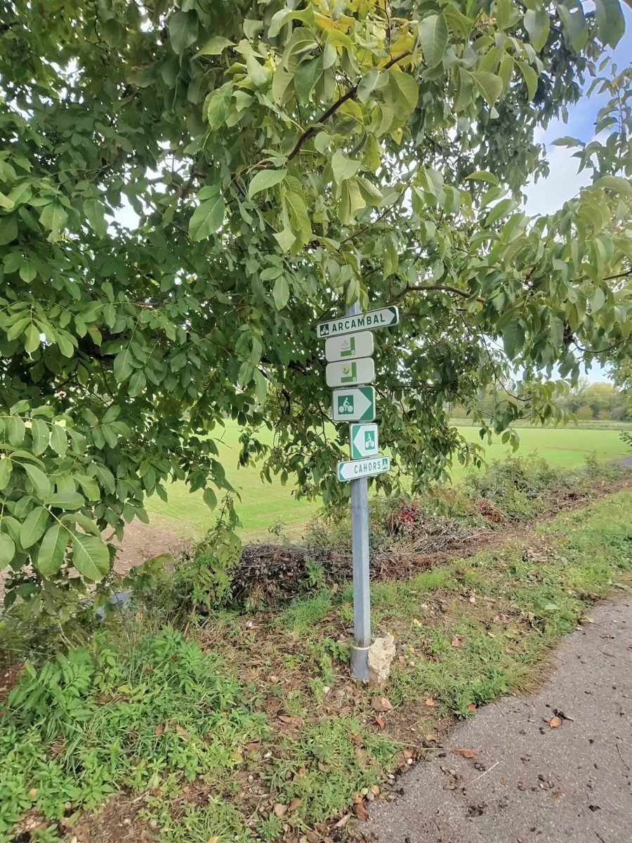
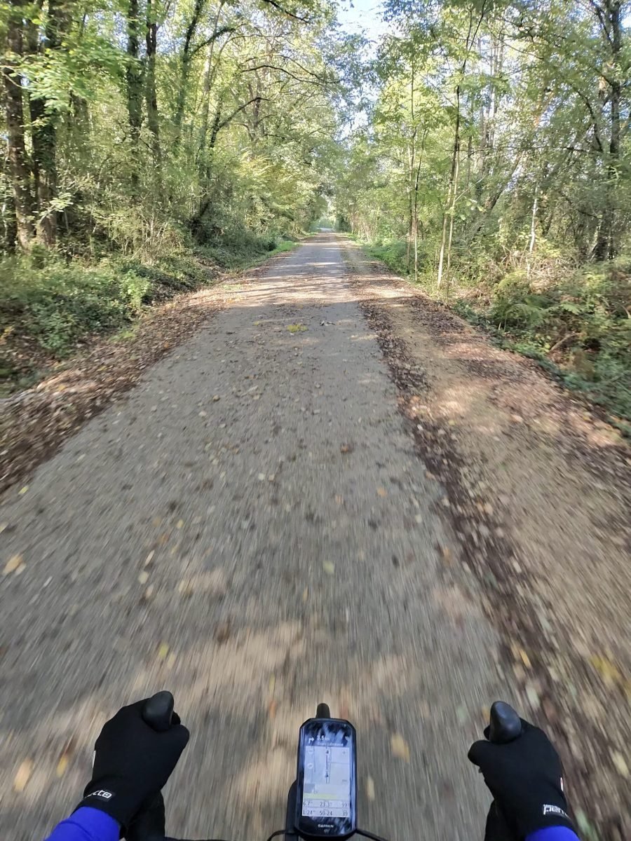
At Arcambal I stopped briefly beside a cycle-route signpost pointing me back to Cahors, and from there it was the voie verte, the greenway that follows the old railway line along the valley.
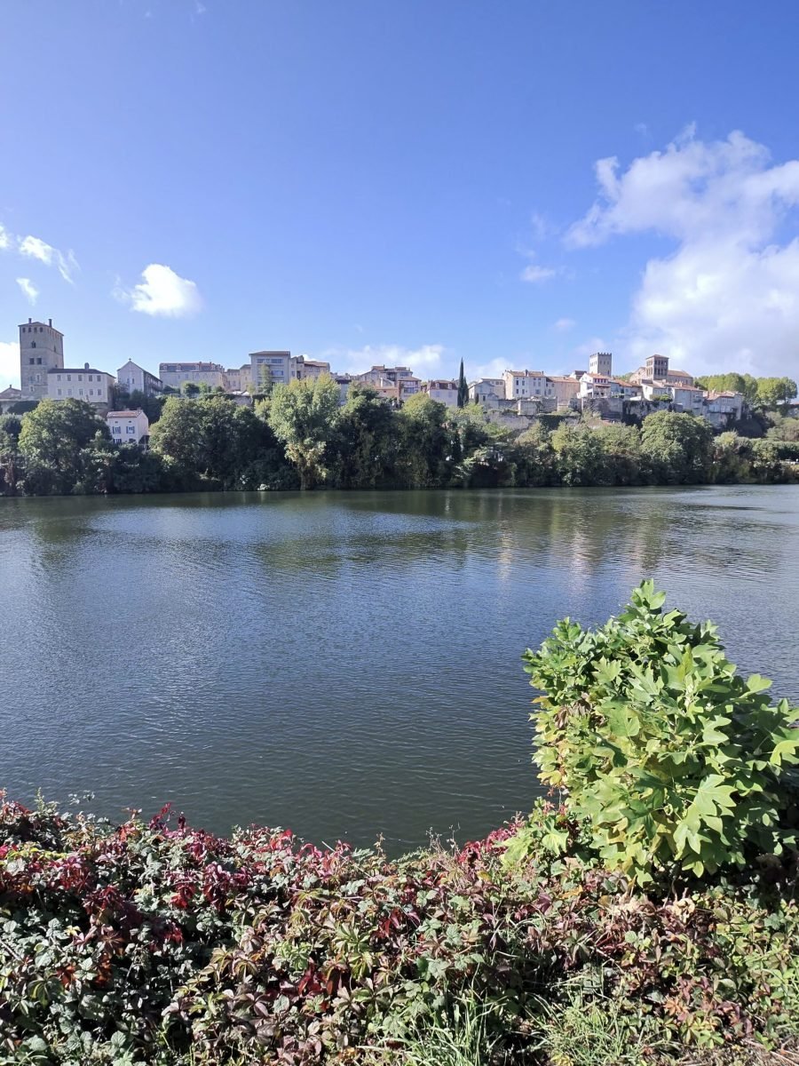
After all the climbing in the first half, the last 15 km were almost dead flat, through autumn trees and along the river, with Cahors rising above the far bank of the Lot as I came back into town. A short pause in town and I was home soon after half past one – only 47 km, but another corner of the map coloured in under skies that never quite made up their mind.
The numbers
- Ride: #1125 on Strava, ride 254 of 2026, day 134 of the streak
- Distance: 47.0 km
- Moving time: 2:08:02 (2:24:37 elapsed)
- Elevation: 594 m
- Average power: 128 W
- Heart rate: 109 bpm average, 142 max
- Cadence: 90 rpm average
- Calories: 1,159 kcal
- Highlight: Côte du Mont-Saint-Cyr, Cahors – 2.00 km, 128 m, 9:52 at 223 W
- Conditions: showery and grey with some blue, 12.9°C (feels like 8.8°C), 84% humidity, a 20 km/h west-south-westerly
- Year to date: Distance 20,858 km, Elevation Gain 213,591 m
The route
Download the GPX (start and finish trimmed for privacy)
The profile and climbs
7 climbs: 1 Cat 3, 6 uncategorised. Biggest: 3.8 km at 4.3%, 163 m of climbing (Cat 3, from km 2). Together the climbs account for 447 m of the ride’s ascent.
Cat 3 Uncategorised Pins mark where each Garmin ClimbPro climb starts. Hover or tap a pin for details.
Climbs table
| # | Starts at km | Length | Ascent | Avg grade | Time | Avg power | Category |
|---|---|---|---|---|---|---|---|
| 1 | 1.7 | 3.79 km | 163 m | 4.3% | 15:59 | 198 W | Cat 3 |
| 2 | 9.7 | 0.81 km | 49 m | 5.9% | 3:22 | 228 W | Uncategorised |
| 3 | 11.2 | 0.49 km | 28 m | 5.7% | 1:55 | 218 W | Uncategorised |
| 4 | 12.8 | 1.12 km | 67 m | 6.0% | 4:58 | 233 W | Uncategorised |
| 5 | 16.9 | 0.77 km | 22 m | 2.9% | 2:23 | 181 W | Uncategorised |
| 6 | 19.8 | 0.98 km | 49 m | 5.0% | 3:56 | 212 W | Uncategorised |
| 7 | 24.0 | 1.76 km | 69 m | 3.9% | 6:08 | 220 W | Uncategorised |