Home » Posts tagged 'France'
Tag Archives: France
Châteaux on the Cher
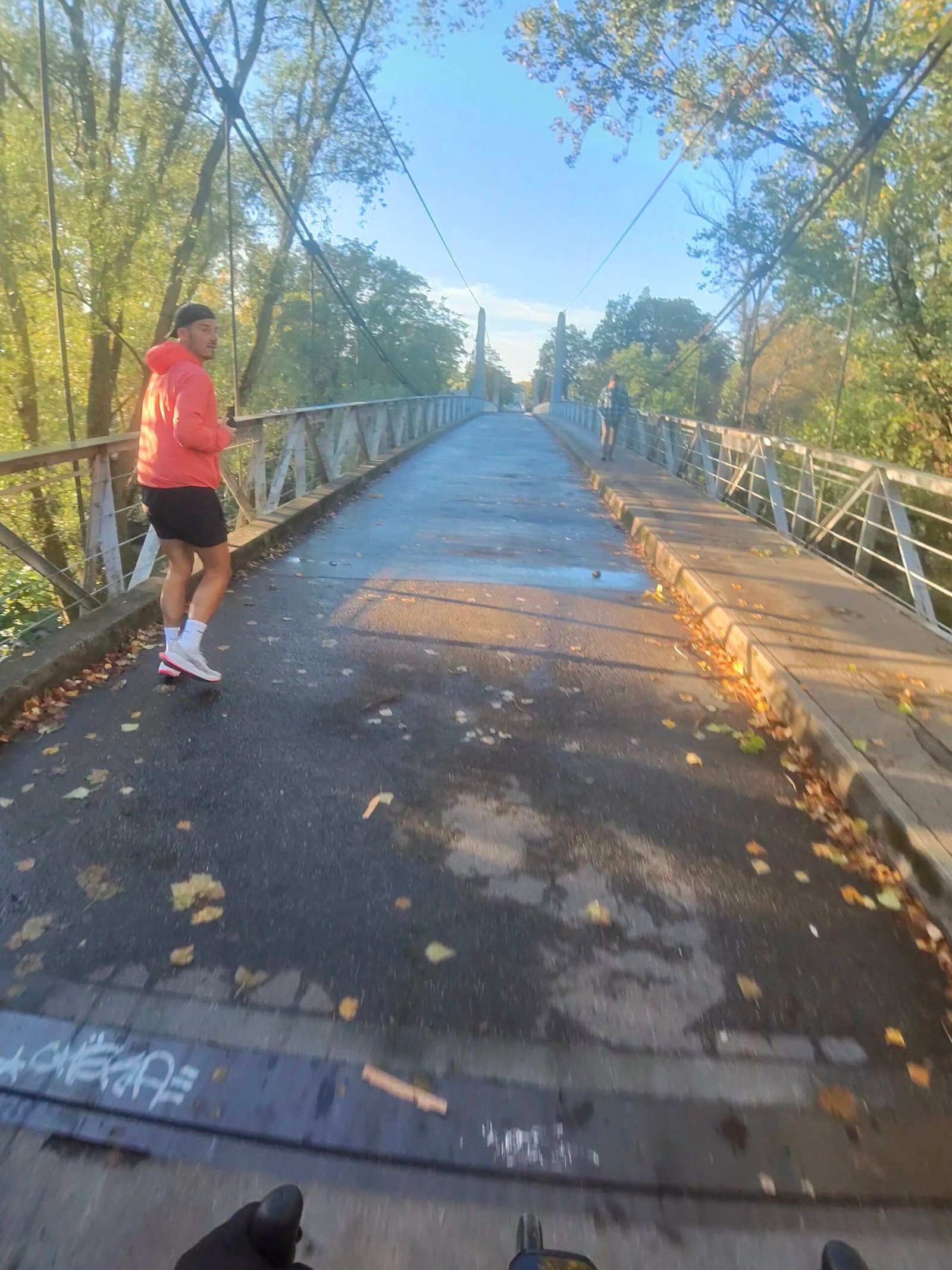
Tours was the half-way stop on the trip, and there was just time for a quick pedal before heading off. I rolled out of the hotel just after nine on a bright, chilly Saturday morning: 9°C, a fresh northerly breeze and the sun still low over the rooftops.
Within a couple of kilometres I was crossing the Loire on the Pont de Fil, the old suspension footbridge, sharing it with an early runner and a carpet of fallen leaves.
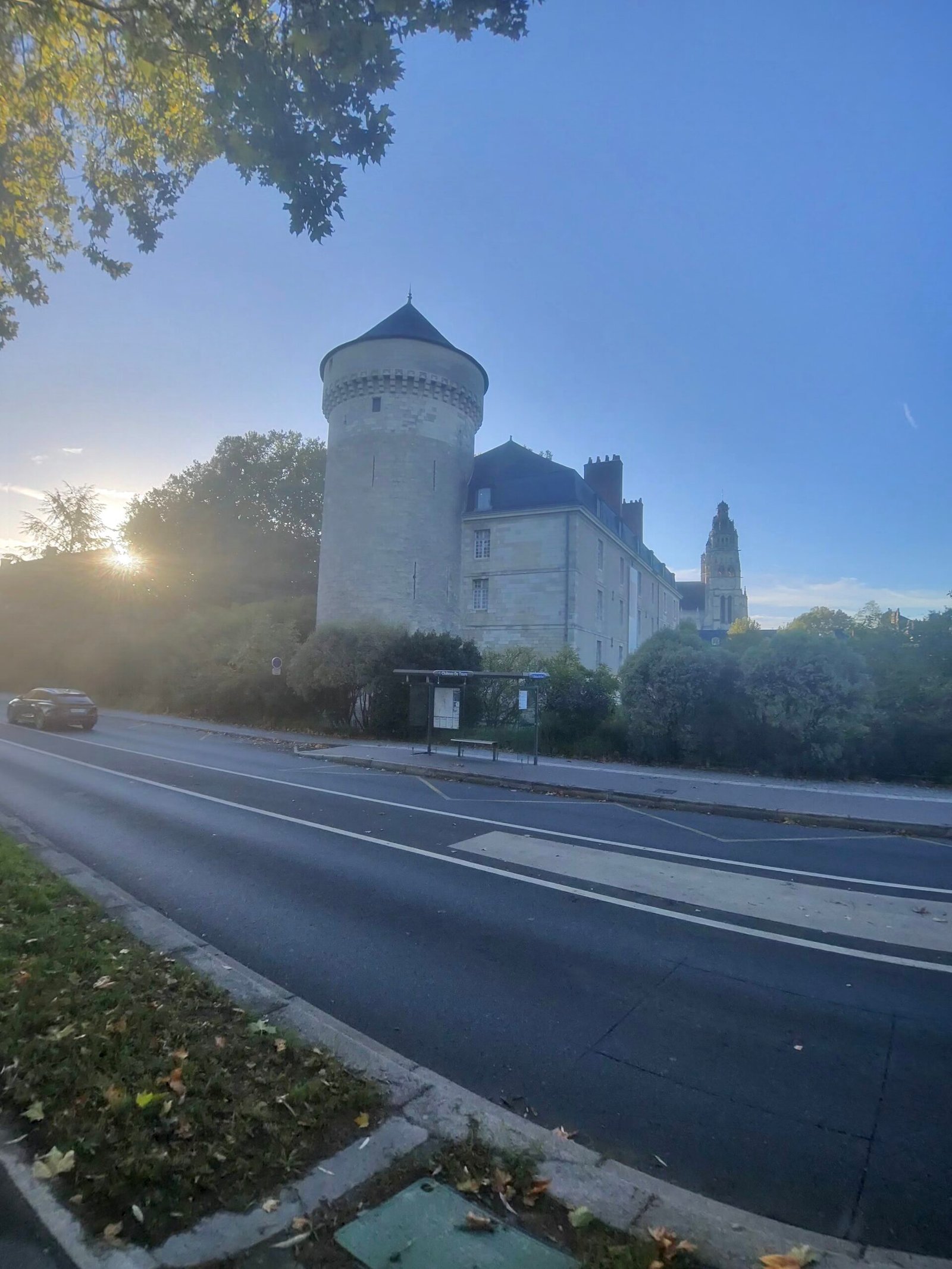
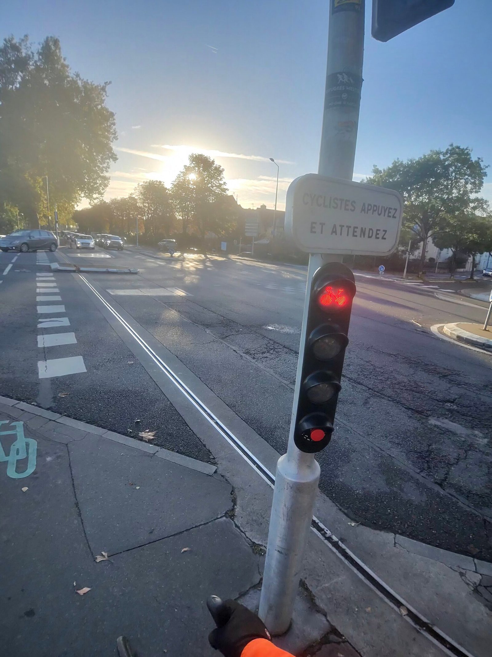
On the south bank the road swept past the round tower of the Château de Tours, and then the city did its best to hold me up, with a red light at a cyclists’ crossing and a polite sign asking me to press the button and wait. A couple of minutes later I was through the suburbs and down onto the flat roads of the Cher valley.
This was the easy part. The Route des Vallées runs dead level beside the Cher, and I settled into a steady rhythm past Joué-lès-Tours and on to Savonnières, where the river meanders through its last few kilometres before it meets the Loire.
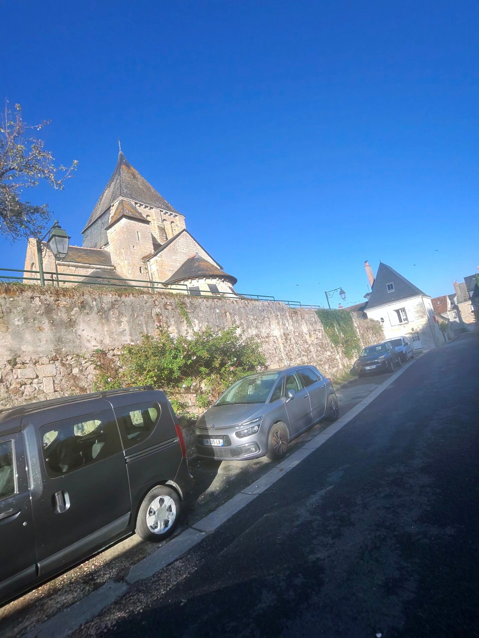
Then came the reason for the route. Villandry is famous for its château and its formal gardens, and I rolled into the village past the church perched above its stone wall. From there the road climbs straight out of the valley. The steepest stretch, the Villandry short climb, took me 3:19, and Garmin counted the whole drag up to the plateau as a single 2.2 km climb, the longest of the day.
Up on top the landscape changed completely: wide open fields, huge skies and almost no traffic, with the low sun throwing my shadow across the road near Druye. It was the kind of quiet farmland riding that makes a detour worthwhile.
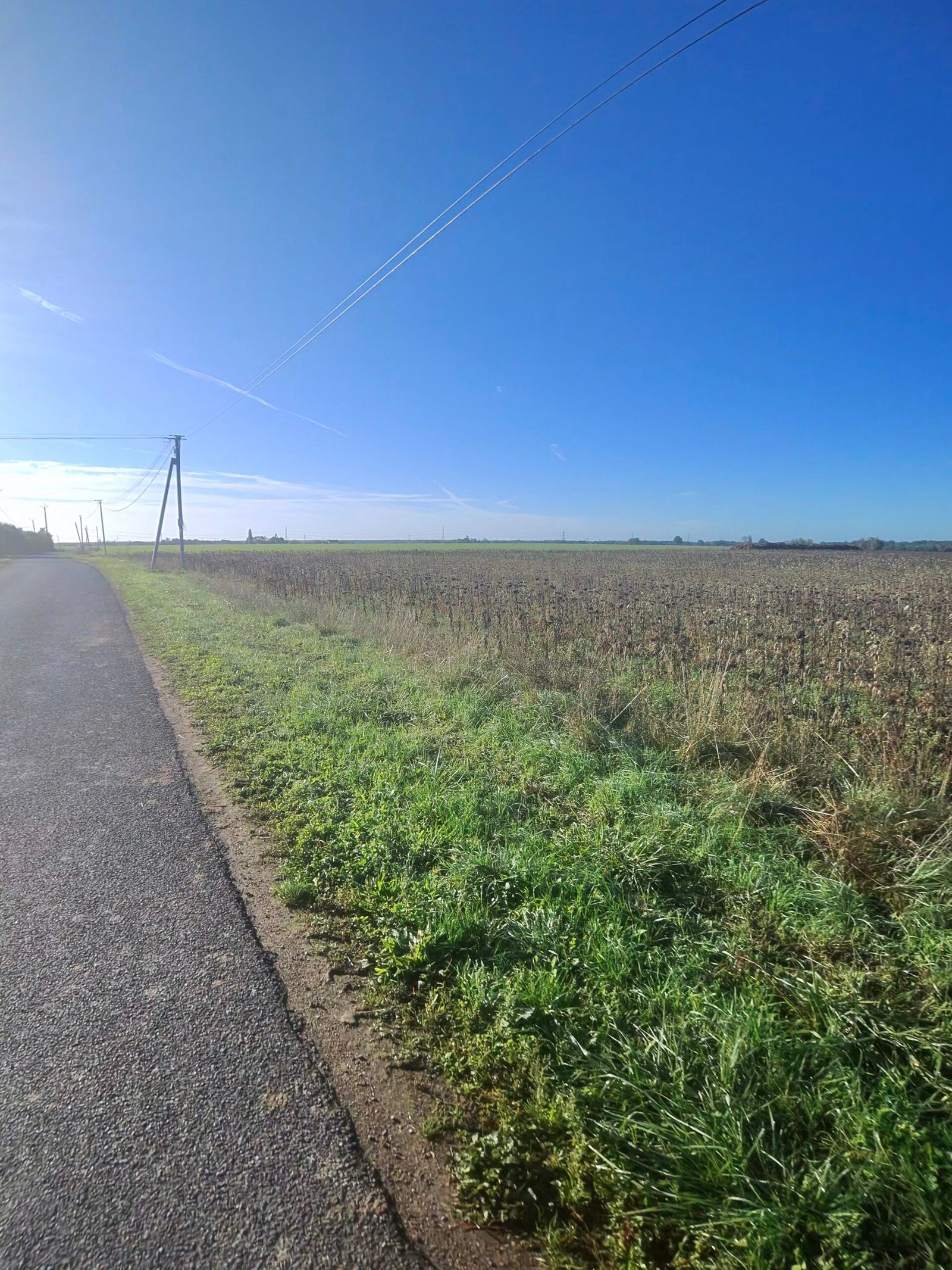
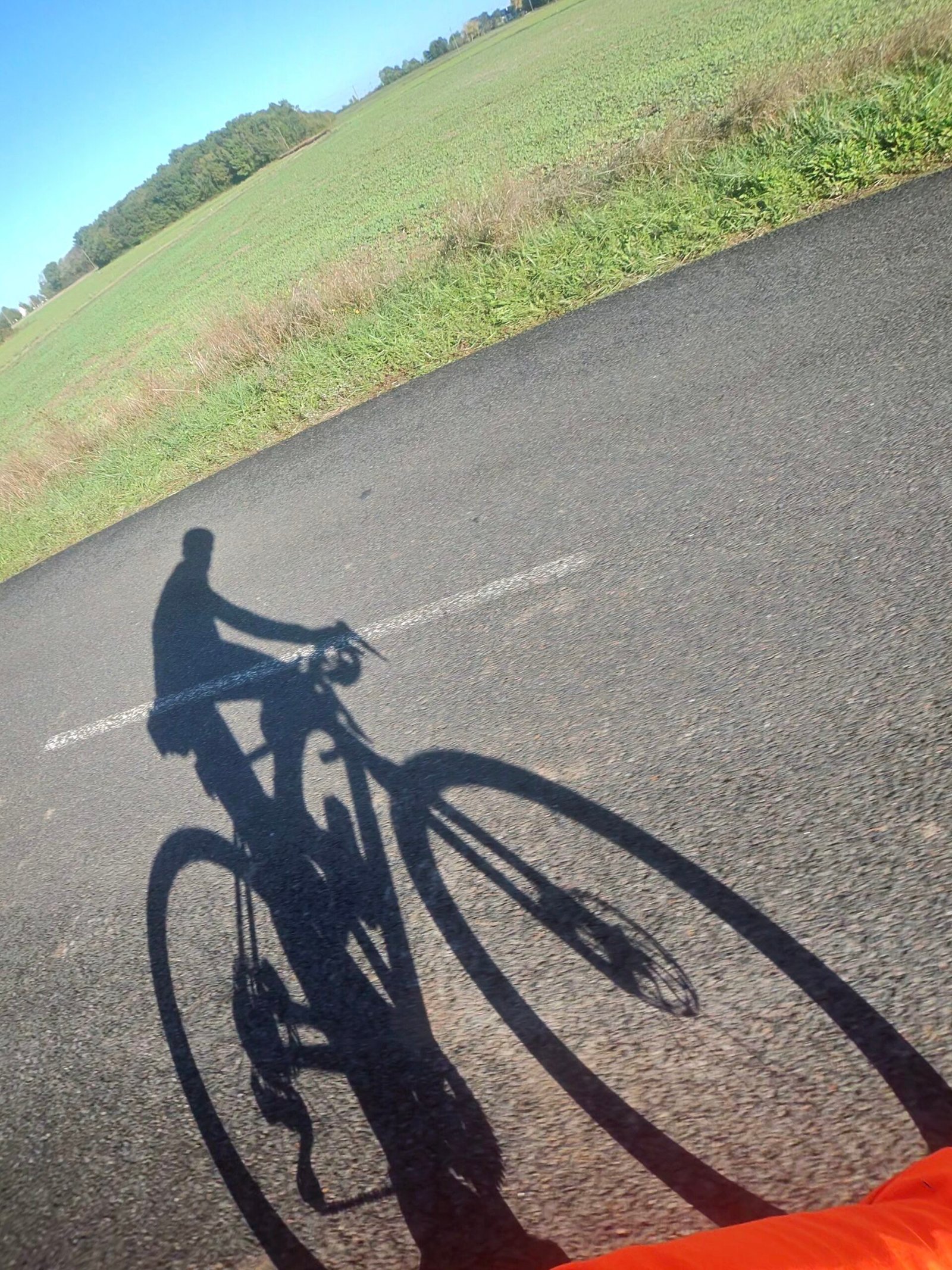
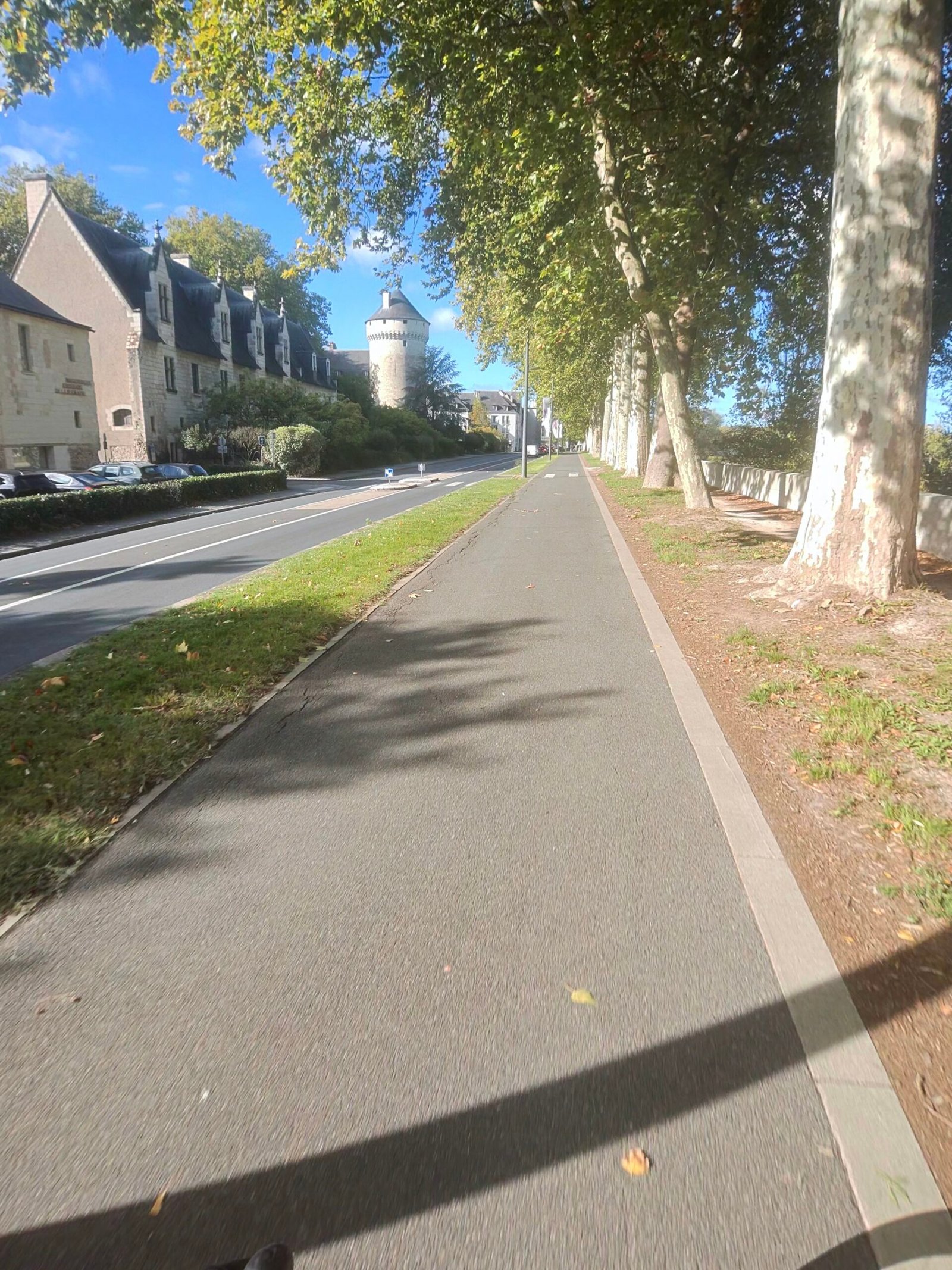
From Druye the lanes swung east and drifted gently back down through Ballan-Miré and into Joué-lès-Tours. I met the Loire again under the plane trees beside the Château de Tours, a neat bookend to the morning.
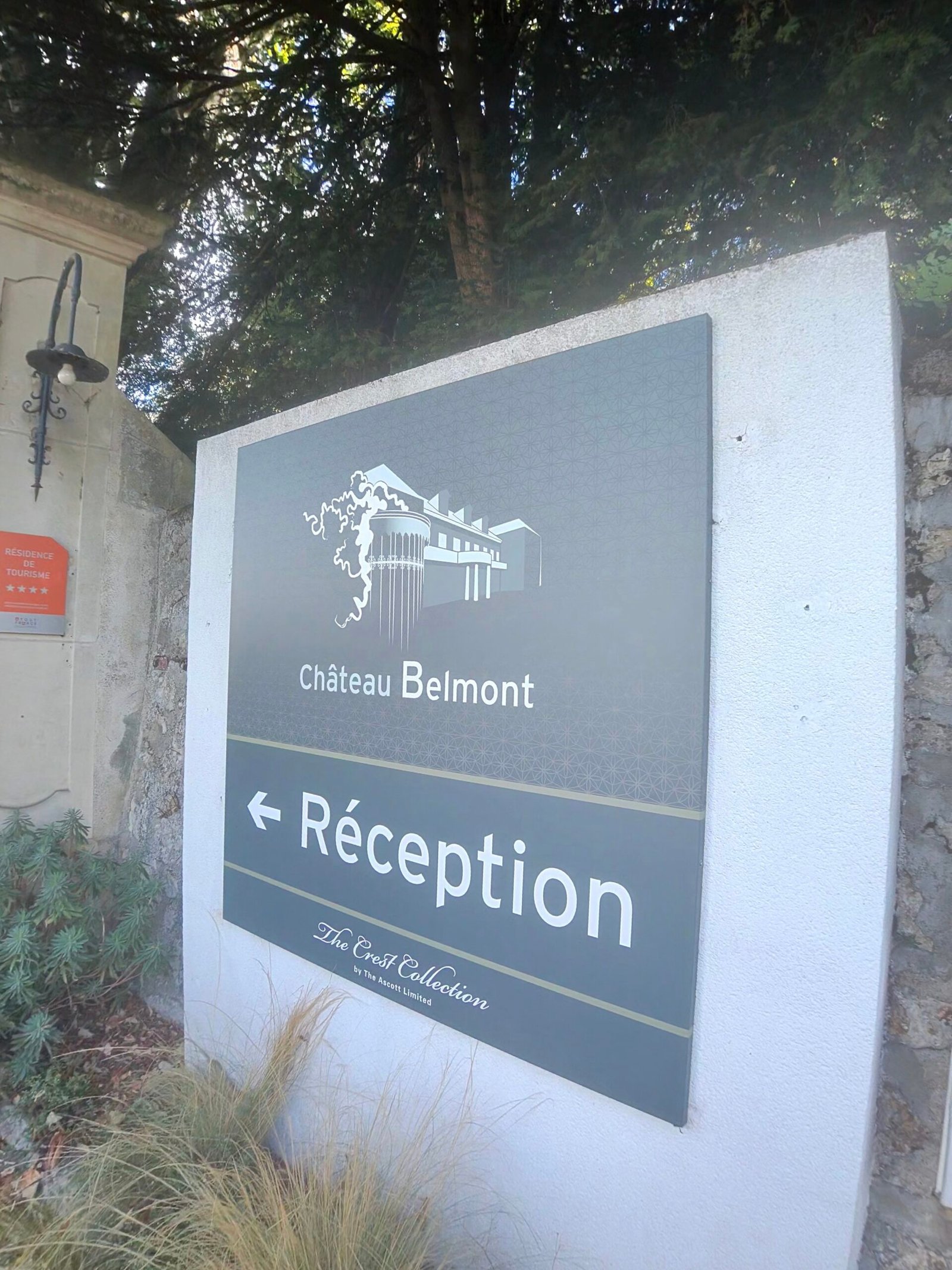
There was one last sting: a short ramp up from the river on the north side of town, 700 m at just over 5%, which I pushed hard all the way to the gates of Château Belmont. Two châteaux, one footbridge and a valley full of quiet roads – not a bad way to break a long journey.
The numbers
- Ride: #1119 on Strava, ride 248 of 2026, day 128 of the streak
- Distance: 56.1 km
- Moving time: 2:34:23 (2:47:40 elapsed)
- Elevation: 319 m
- Average power: 118 W
- Heart rate: 107 bpm average, 151 max
- Cadence: 88 rpm average
- Calories: 1,303 kcal
- Highlight: Villandry short – 0.71 km, 42 m, 3:19 at 211 W
- Conditions: bright and partly cloudy, 9°C (feels like 6°C), 89% humidity, a 15 km/h northerly
- Year to date: Distance 20,389 km, Elevation Gain 207,983 m
The route
Download the GPX (start and finish trimmed for privacy)
The profile and climbs
2 climbs, all uncategorised. Biggest: 2.2 km at 3.1%, 69 m of climbing (from km 24). Together the climbs account for 105 m of the ride’s ascent.
Uncategorised Pins mark where each Garmin ClimbPro climb starts. Hover or tap a pin for details.
Climbs table
| # | Starts at km | Length | Ascent | Avg grade | Time | Avg power | Category |
|---|---|---|---|---|---|---|---|
| 1 | 24.1 | 2.23 km | 69 m | 3.1% | 9:43 | 148 W | Uncategorised |
| 2 | 54.8 | 0.70 km | 36 m | 5.1% | 3:18 | 241 W | Uncategorised |