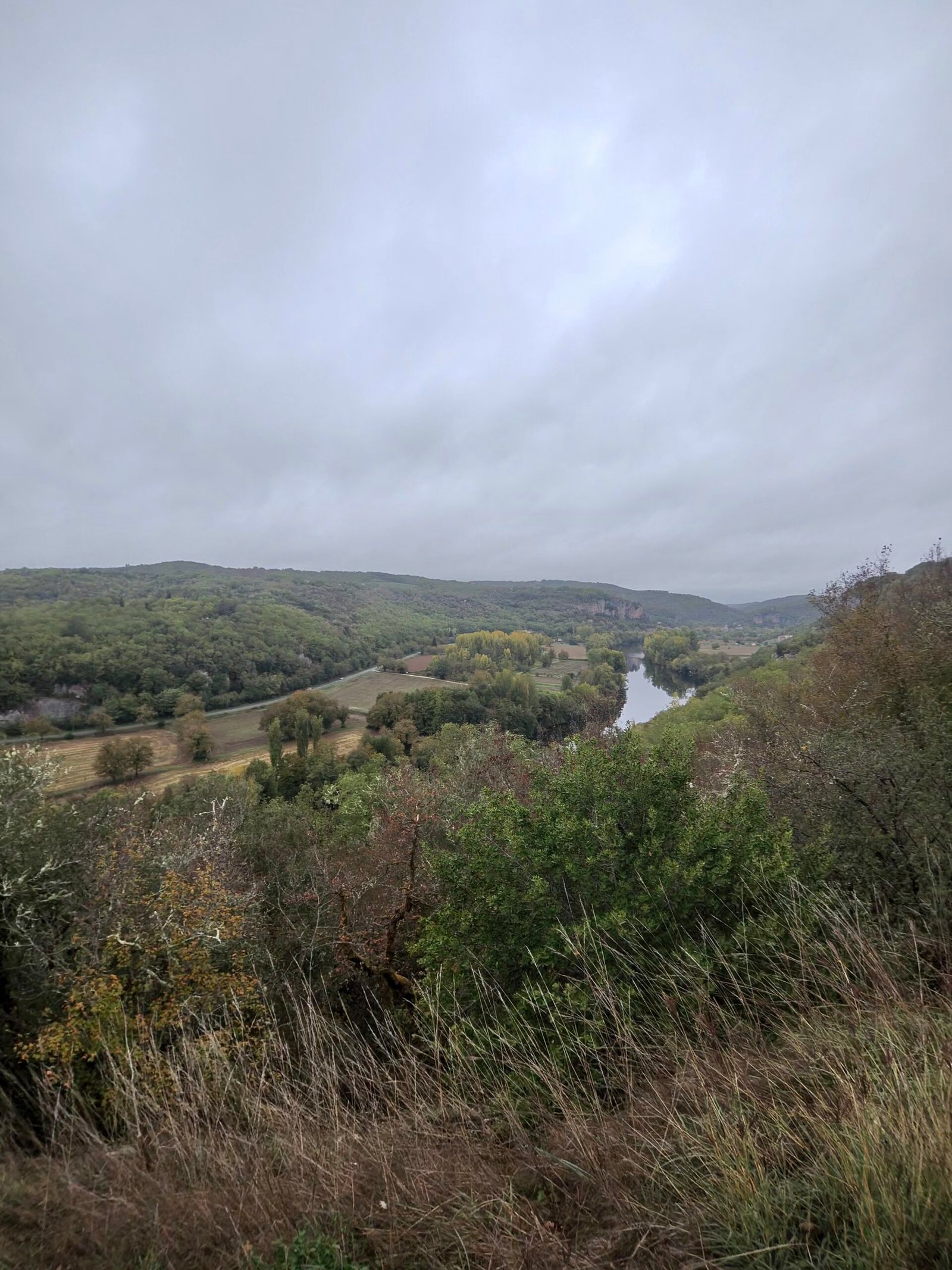
Saturday was my last day in Cahors. After filling in the gaps on the causse the day before, I saved the big one for the finale: what my Strava note calls a quick spin to Rocamadour, the pilgrim village stacked up a cliff face some 65 km away by road. It was 9°C and grey when I set off just before half past nine, the air damp and almost perfectly still.
The first few kilometres followed the Lot upstream past Arcambal, where the road lifts briefly above the river and the valley opens out below, cloud sitting low on the hills.
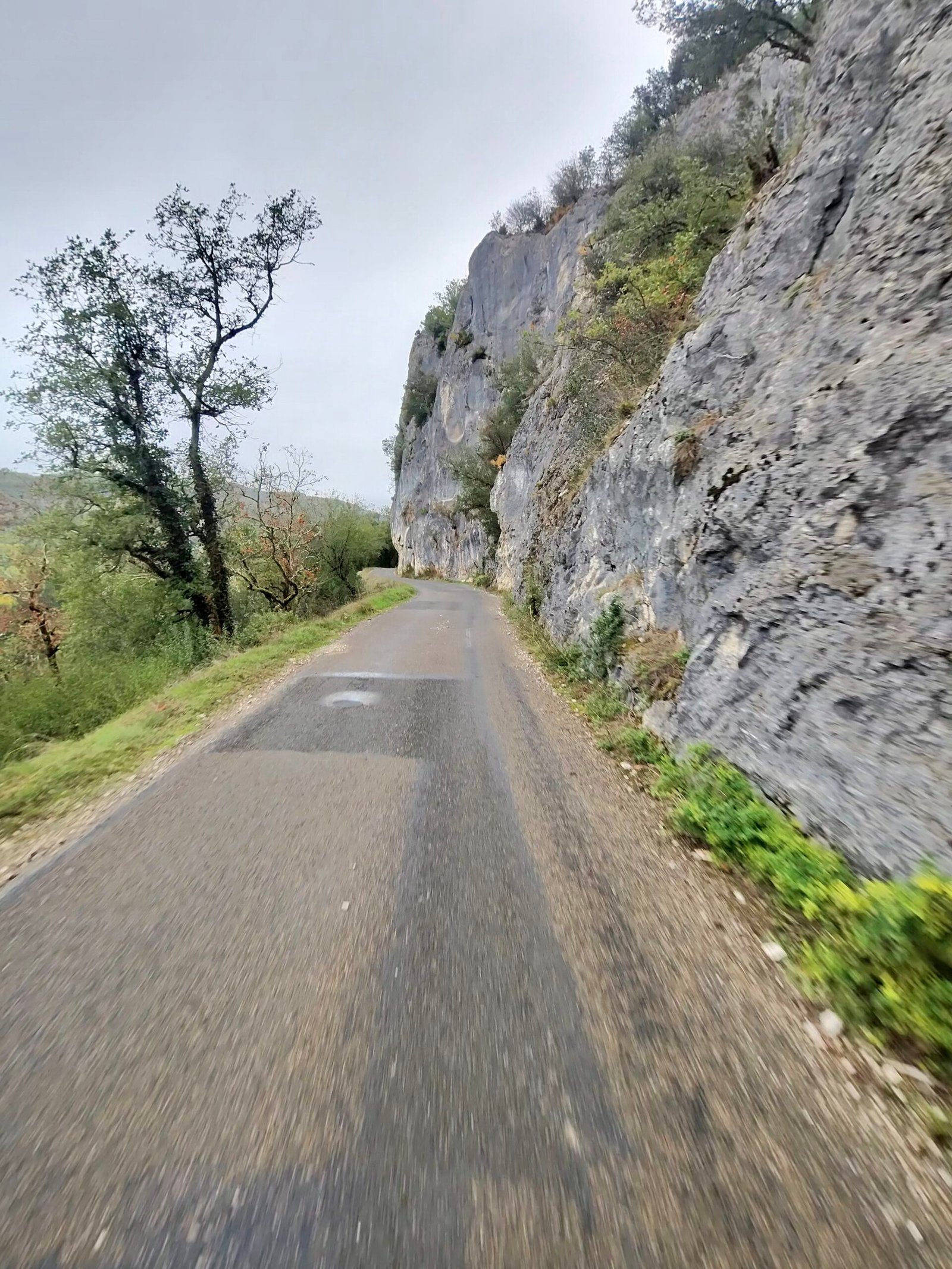
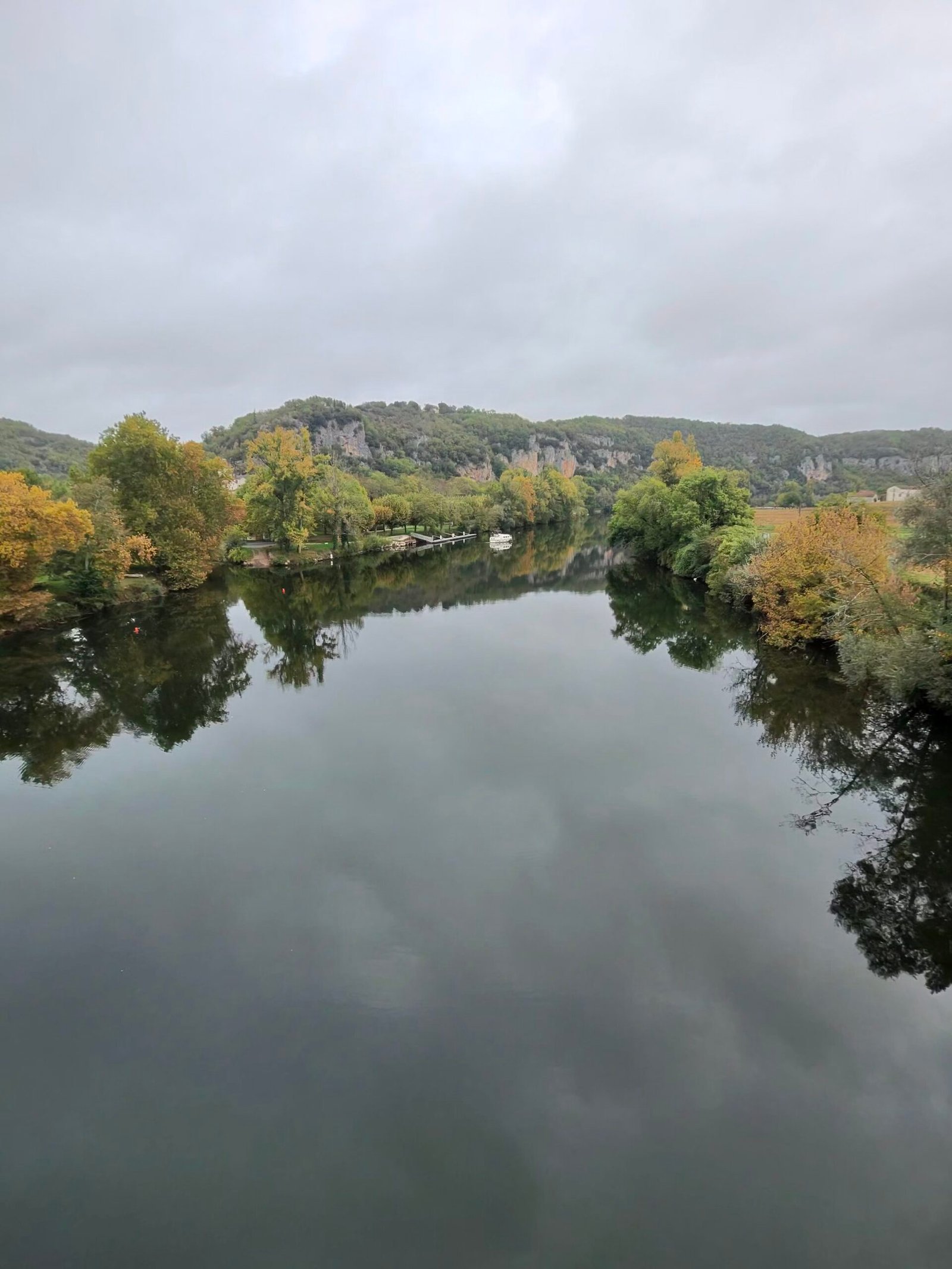
Beyond that came one of my favourite roads of the week, the cliff road to Vers, squeezed between the river and a wall of pale limestone. At Vers the Lot lay flat and glassy, reflecting trees just turning gold, and I paused by the church before turning north up the valley of the little Vers river.
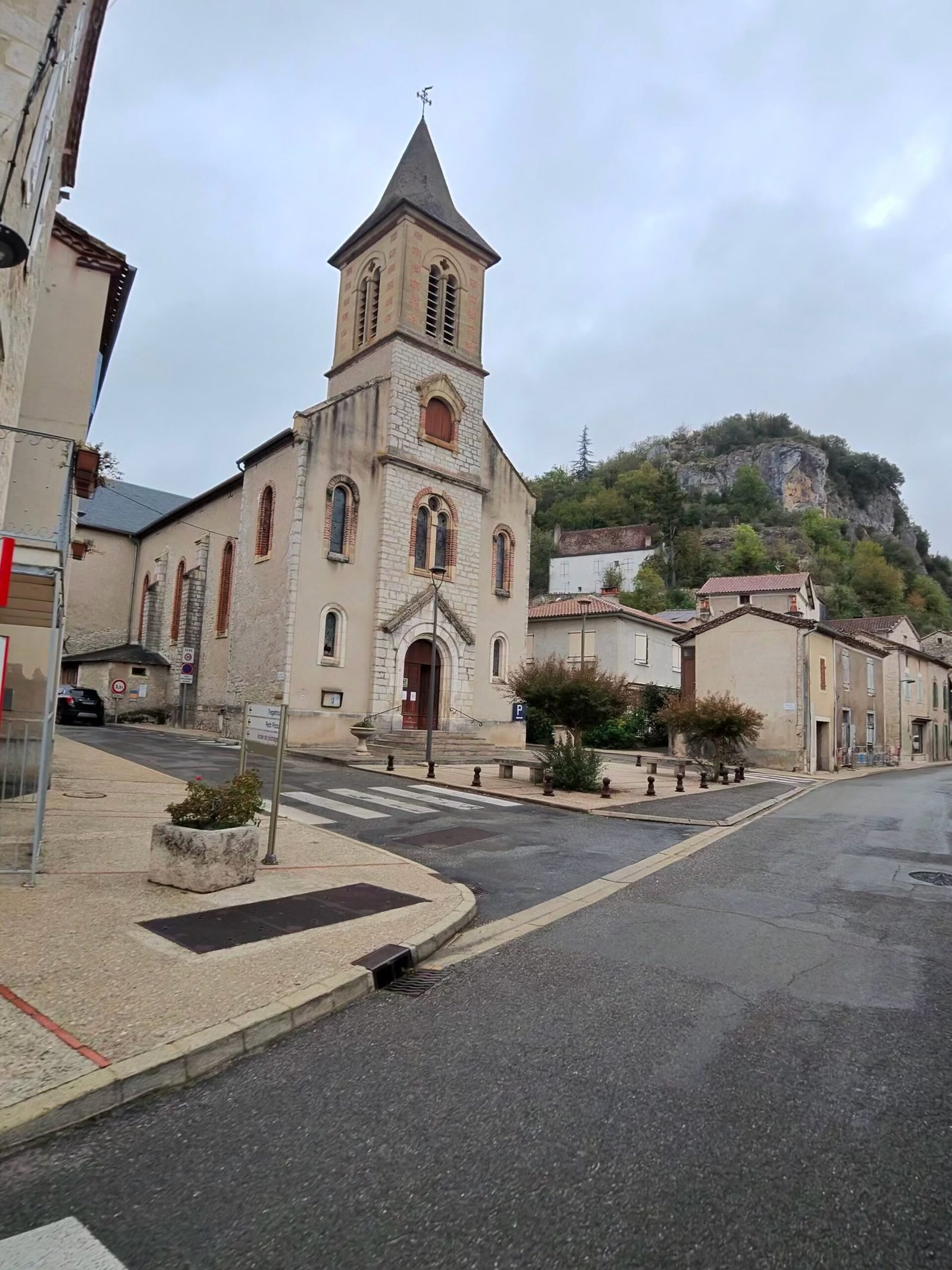
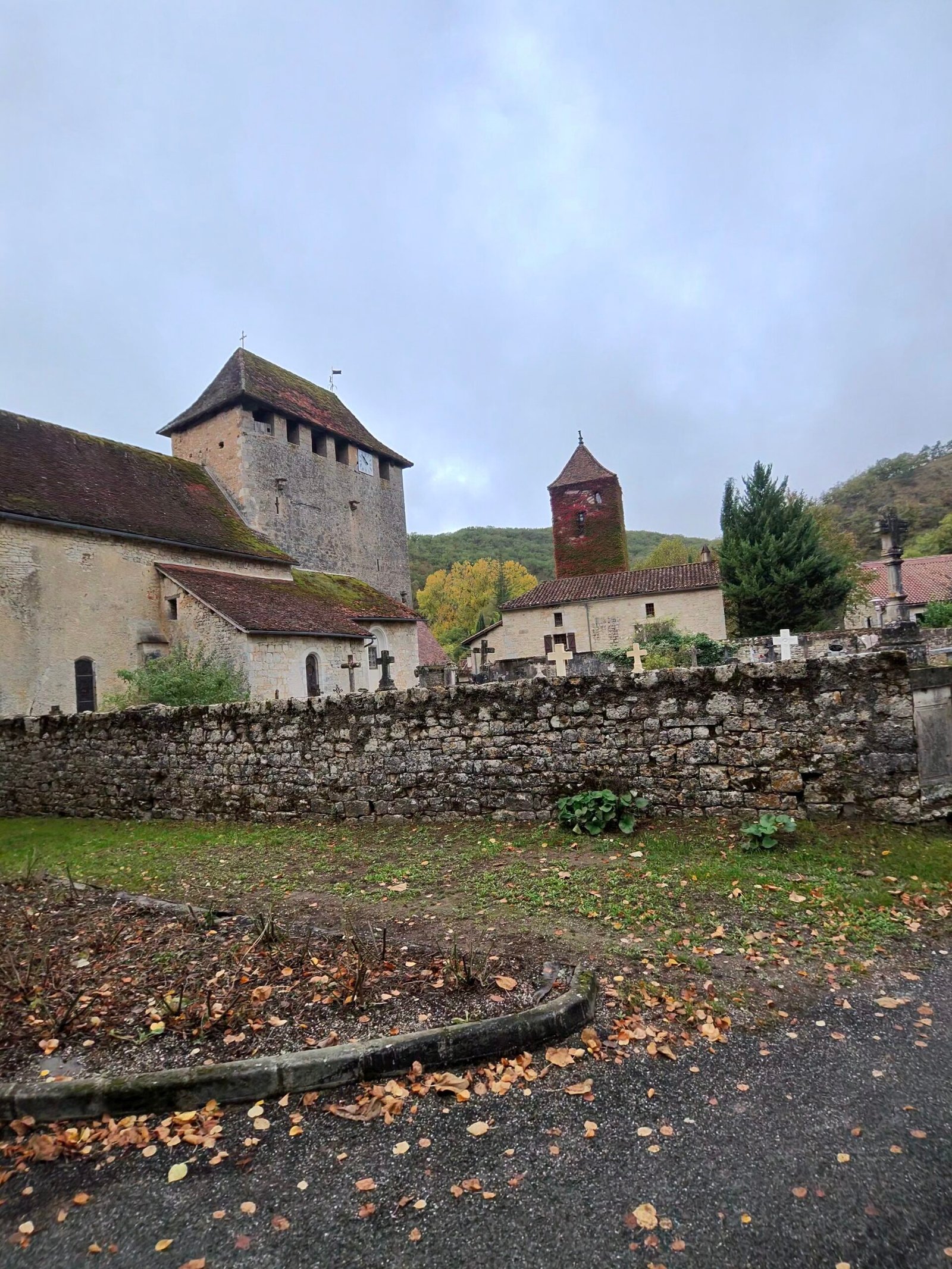
The valley road climbs so gently you barely notice it, past mossy banks and a clear stream under the trees, then on through Saint-Martin-de-Vers, its old church tower rising above a dry-stone wall.
Then the real climbing started. From around 34 km the road leaves the valley for the causse, nearly 5 km at under 4% that Garmin rated Cat 3, and it delivered me straight into Labastide-Murat at the top.
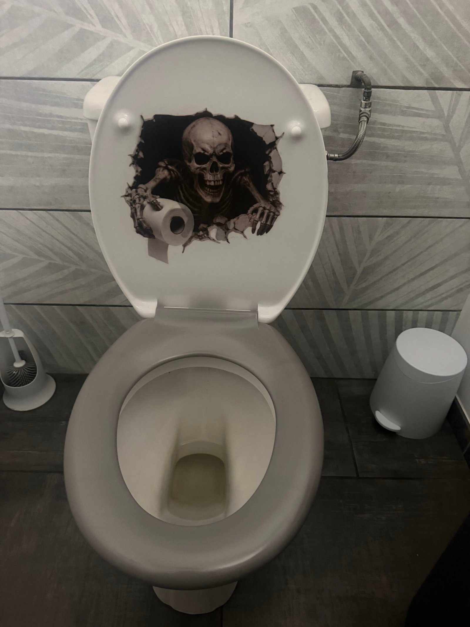
Café de la Place on the square was the obvious stop, and I was far from the only one with the idea – it was packed with locals over their coffee. With Halloween a week away they had gone all in: cobwebs strung across the beams, a giant spider dangling over the tables and even a skull grinning up out of the toilet bowl. I stayed longer than I meant to.


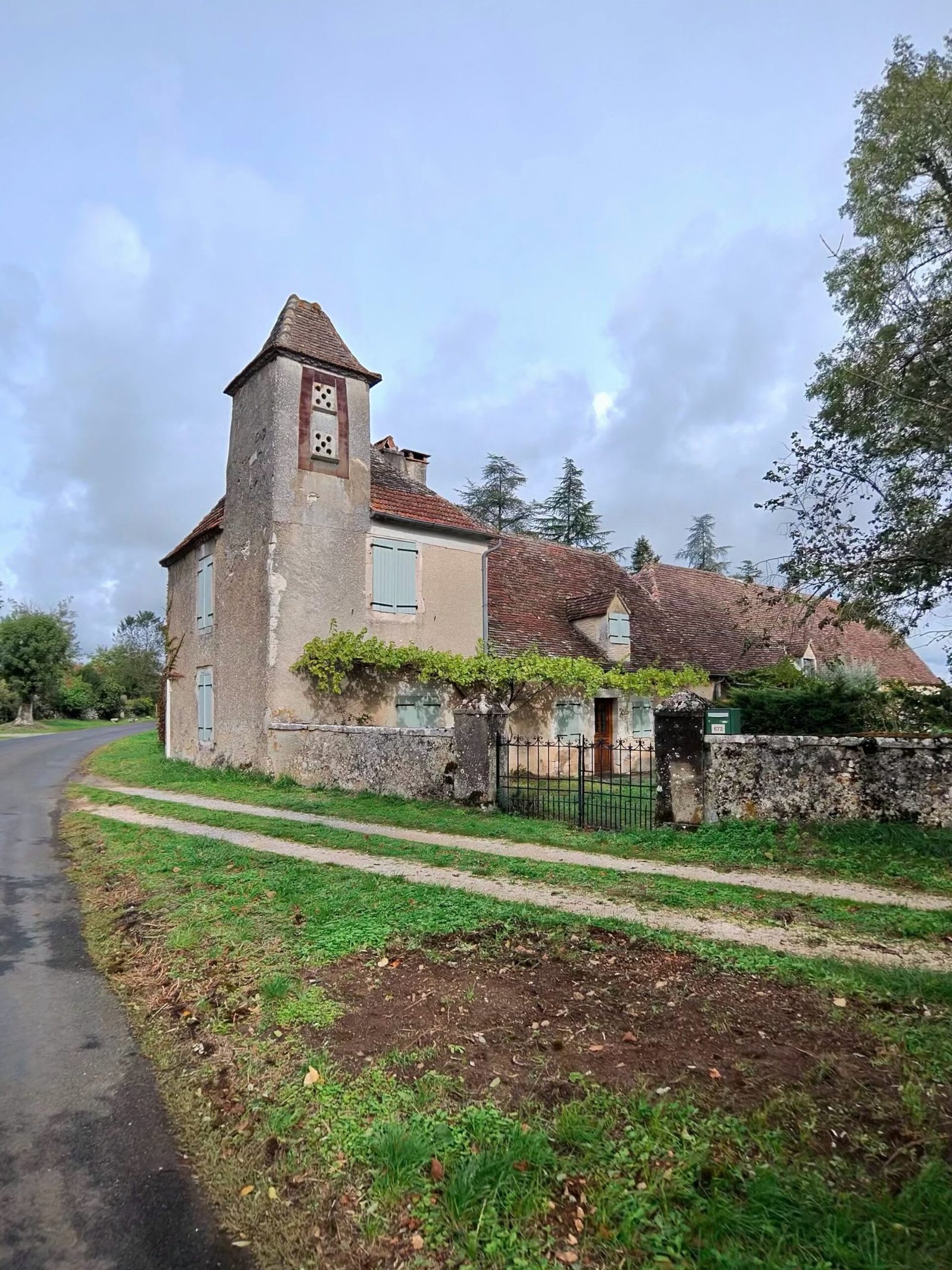
From Labastide-Murat the causse rolls on north through Montfaucon and Carlucet, open, stony country of oak scrub and old stone farms. It is never flat for long, though: three short ramps on the way to Couzou topped 5%, the steepest of them at Carlucet, just over a kilometre at more than 7%.
Past Couzou the road tipped downhill, and at around 64 km I got my first look at Rocamadour, its churches and houses clinging to the cliff above the Alzou gorge. I rode down into the village and spent the best part of an hour there before facing the climb back out. It was just after one o’clock when I rolled in, nearly four hours after leaving Cahors.
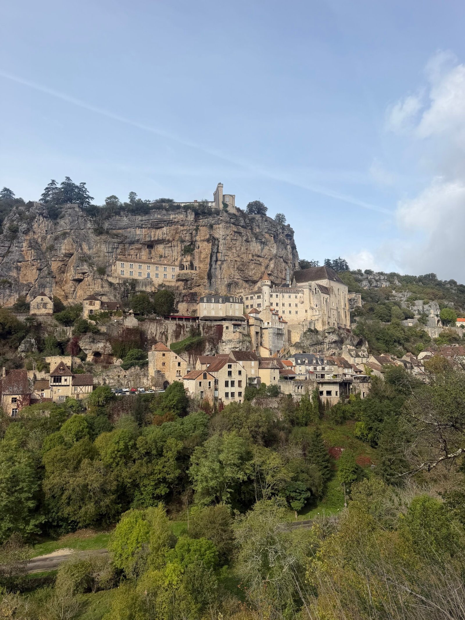
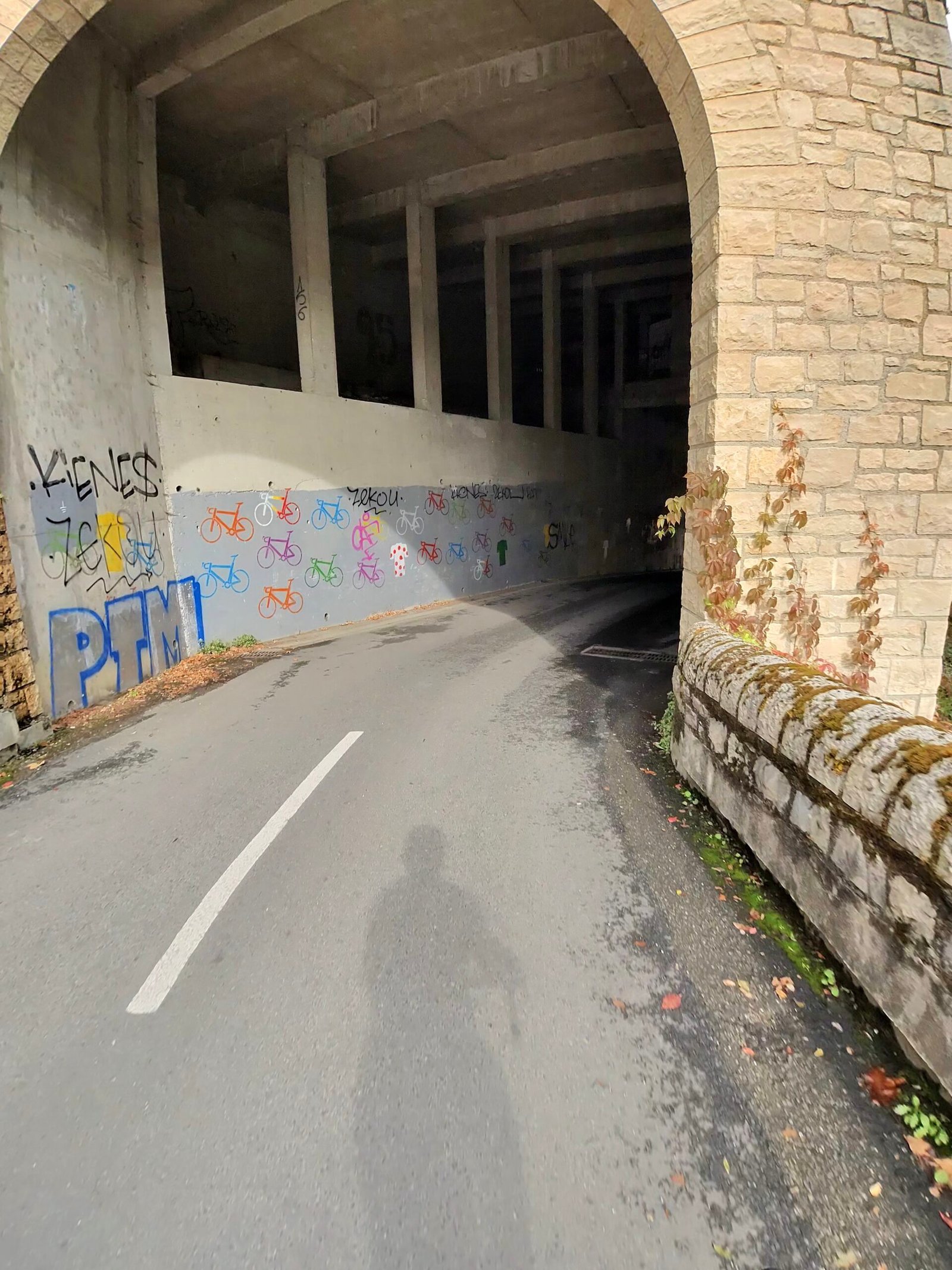
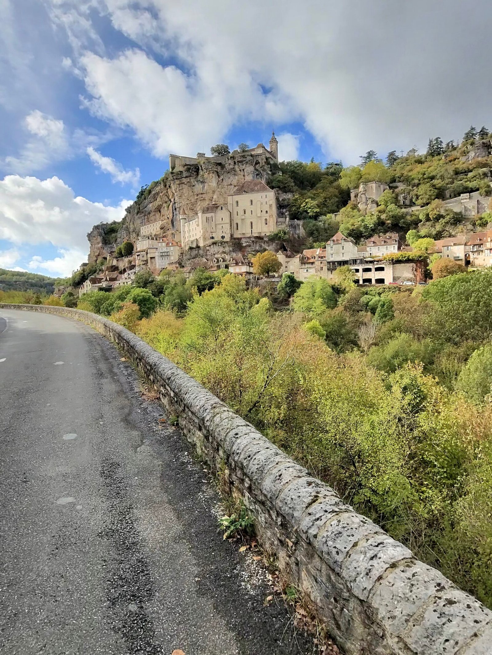
Getting out is the price of admission. The road from Rocamadour back up to Couzou gains more than 200 m in under 6 km, two Cat 4 ramps with the village shrinking behind me at every bend, and I stopped more than once to look back at it. Then, just when I thought the work was done, came the biggest climb of the day: 5.6 km at nearly 4% from Couzou up towards Carlucet, another Cat 3.
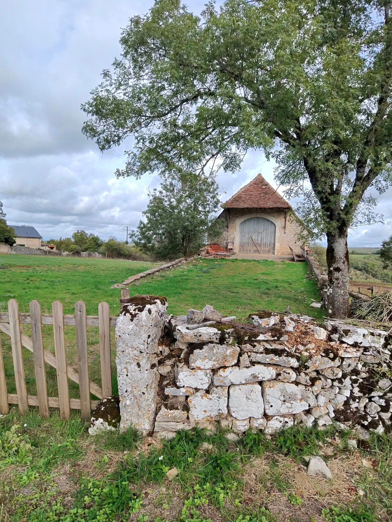
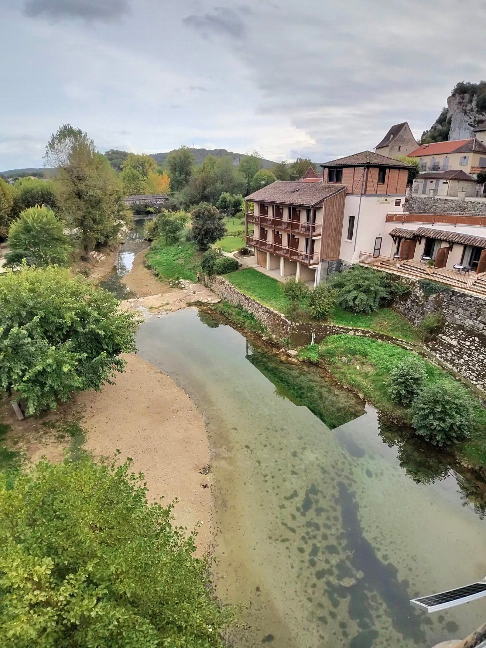
One last Cat 4 at Montfaucon and the hard part was over. From Labastide-Murat it was more than 20 km of gentle downhill back through the Vers valley, and I stopped again at Vers, where the little river runs clear over sandy shallows on its way into the Lot.
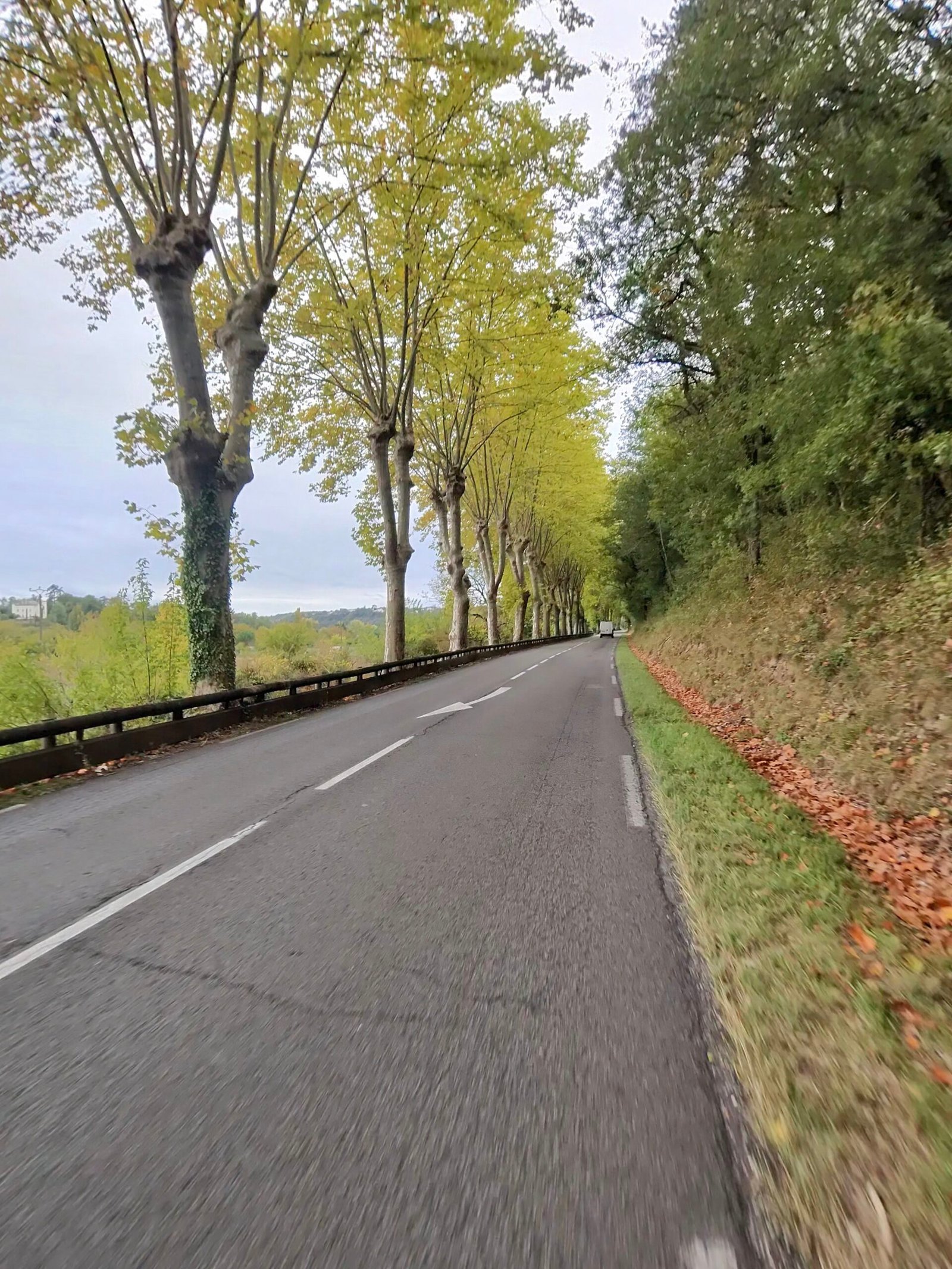
A short pause at Savanac broke up the last little climb of the day, and the final stretch ran beside the Lot through Lamagdelaine and in under the plane trees to Cahors. In 131 km just 30 vehicles passed me all day. I was back at half past five, eight hours after leaving – some quick spin, but a fine way to say goodbye to the Lot.
The numbers
- Ride: #1126 on Strava, ride 255 of 2026, day 135 of the streak
- Distance: 131.1 km
- Moving time: 5:57:06 (8:06:05 elapsed)
- Elevation: 1,717 m
- Average power: 135 W
- Heart rate: 114 bpm average, 154 max
- Cadence: 90 rpm average
- Calories: 3,391 kcal
- Highlight: Rocamadour – Couzou – 5.61 km, 223 m, 23:24 at 168 W
- Conditions: grey and still at first, brightening later, 9.2°C, 96% humidity, barely a breath of WSW wind
- Year to date: Distance 20,989 km, Elevation Gain 215,308 m
The route
Download the GPX (start and finish trimmed for privacy)
The profile and climbs
14 climbs: 2 Cat 3, 4 Cat 4, 8 uncategorised. Biggest: 5.6 km at 3.9%, 219 m of climbing (Cat 3, from km 75). Together the climbs account for 1,190 m of the ride’s ascent.
Cat 3 Cat 4 Uncategorised Pins mark where each Garmin ClimbPro climb starts. Hover or tap a pin for details.
Climbs table
| # | Starts at km | Length | Ascent | Avg grade | Time | Avg power | Category |
|---|---|---|---|---|---|---|---|
| 1 | 11.8 | 1.02 km | 65 m | 6.3% | 4:42 | 245 W | Uncategorised |
| 2 | 17.5 | 0.76 km | 5 m | 0.7% | 1:42 | 172 W | Uncategorised |
| 3 | 34.0 | 4.92 km | 187 m | 3.8% | 18:59 | 192 W | Cat 3 |
| 4 | 45.9 | 0.63 km | 41 m | 6.3% | 2:45 | 254 W | Uncategorised |
| 5 | 47.8 | 1.02 km | 33 m | 3.2% | 3:15 | 208 W | Uncategorised |
| 6 | 53.6 | 1.12 km | 83 m | 7.4% | 5:40 | 245 W | Cat 4 |
| 7 | 56.6 | 2.04 km | 71 m | 3.5% | 7:14 | 204 W | Uncategorised |
| 8 | 61.4 | 0.99 km | 55 m | 5.6% | 4:13 | 225 W | Uncategorised |
| 9 | 66.5 | 1.90 km | 102 m | 5.4% | 8:23 | 223 W | Cat 4 |
| 10 | 70.0 | 1.98 km | 106 m | 5.3% | 10:56 | 214 W | Cat 4 |
| 11 | 74.9 | 5.63 km | 219 m | 3.9% | 19:29 | 213 W | Cat 3 |
| 12 | 86.3 | 3.37 km | 120 m | 3.6% | 10:59 | 225 W | Cat 4 |
| 13 | 91.4 | 0.56 km | 28 m | 5% | 2:33 | 192 W | Uncategorised |
| 14 | 119.5 | 2.56 km | 75 m | 2.9% | 14:55 | 142 W | Uncategorised |
Every town, café, beach and landmark from my rides is collected on the Links page.