Home » Posts tagged 'Dordogne'
Tag Archives: Dordogne
Down to the Dordogne
Day three in the Lot, and the big one. I rolled out of Cahors at half past ten on a grey, still Tuesday, 9.5°C with the air close to saturated and barely a breath of wind. After the climb to Saint-Cirq-Lapopie the day before (Saint-Cirq-Lapopie and the Cliff Road), the plan this time was distance: north through the Bouriane to the Dordogne, along the river to Souillac and back over the hills, the longest ride of the trip by a distance.
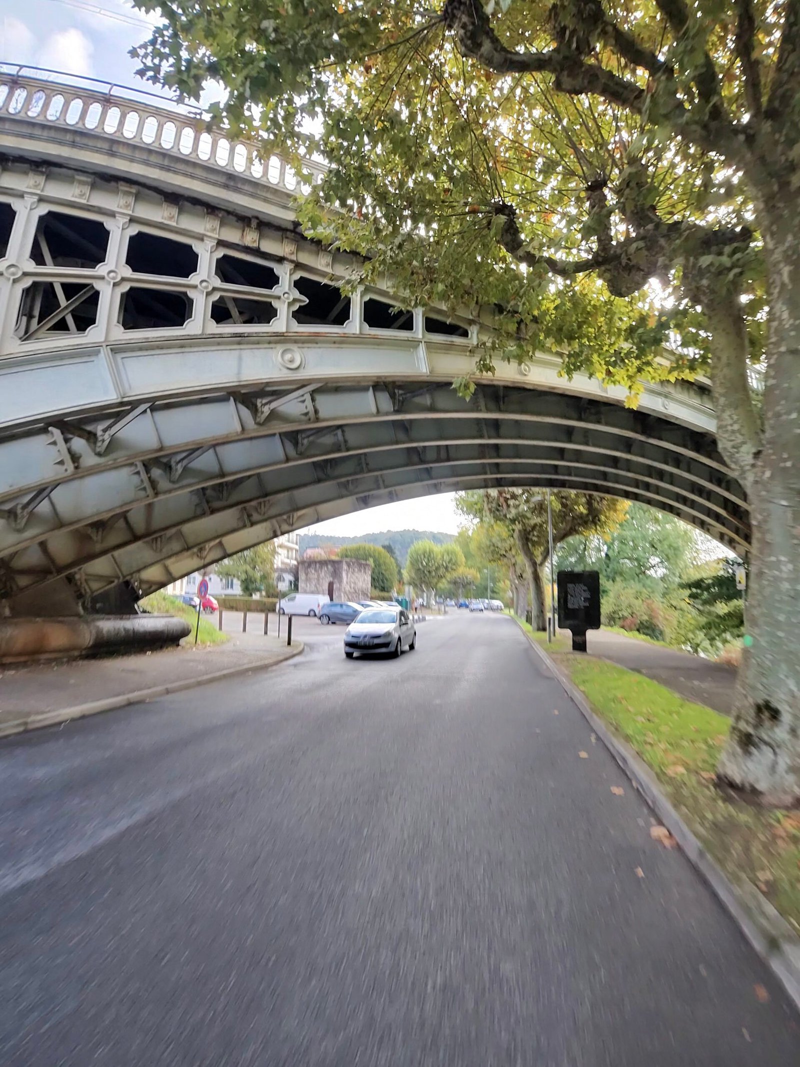
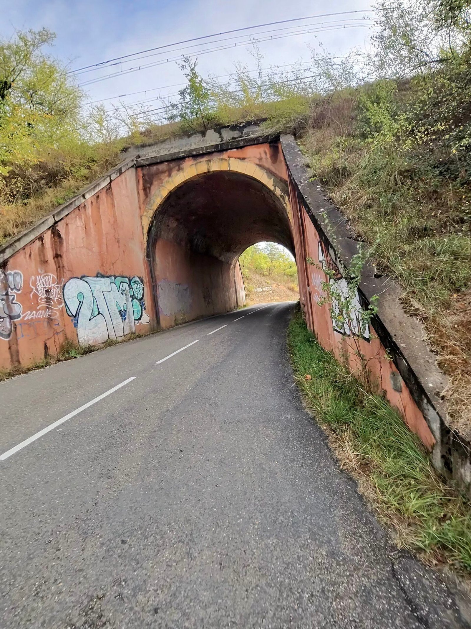
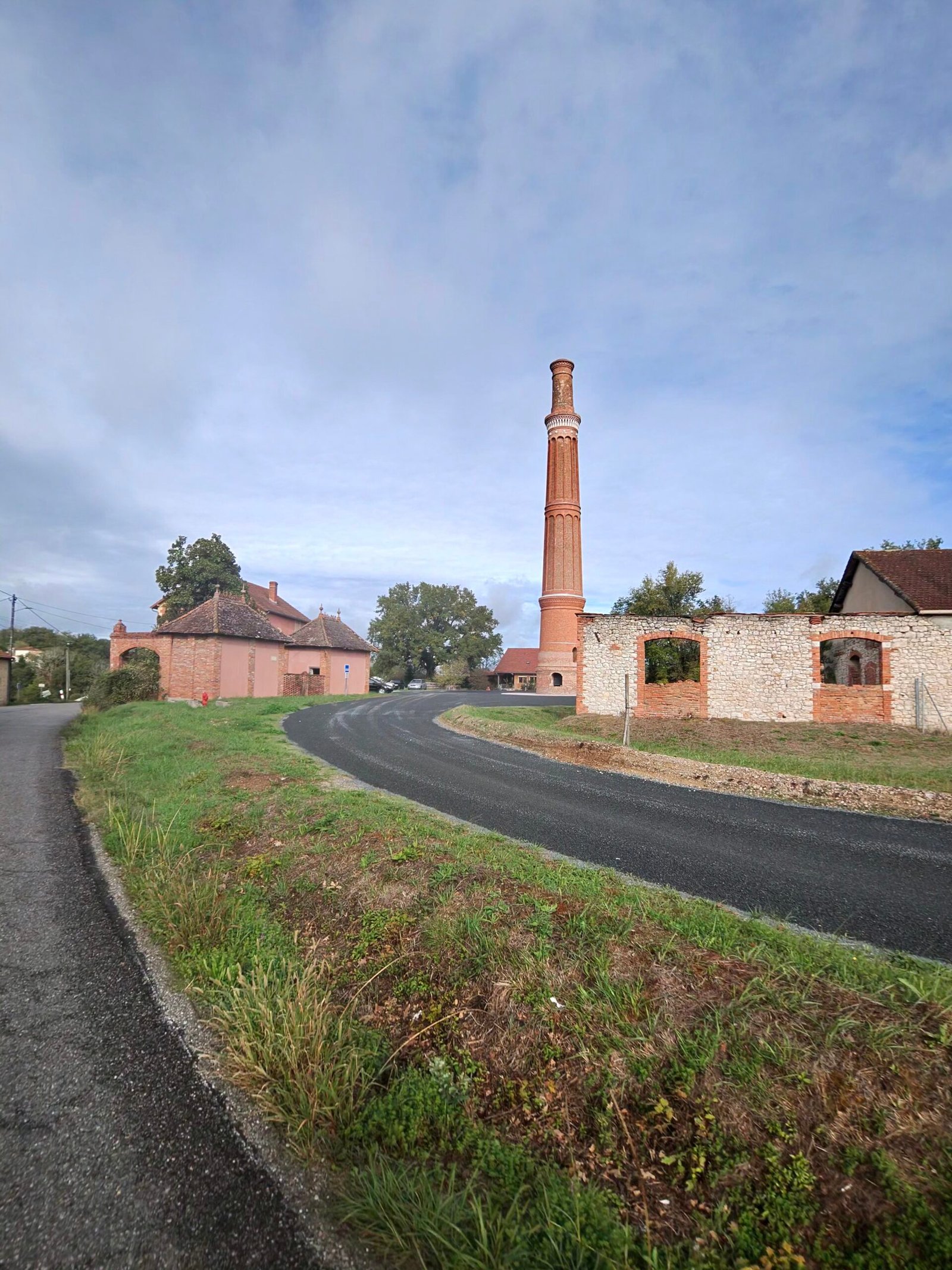
I left town under an iron bridge and followed the Lot downstream to Mercuès, where the château sits on its hill above the river, then turned north away from the valley. The first climbs came early and kept coming, short ramps up past Boissières and Saint-Denis-Catus, through an old underpass and past a lone brick chimney, then Garmin’s first Cat 4 of the day, 2.1 km at 4.6%, on the way towards Peyrilles.
Beyond Peyrilles the roads settled into the gentle up-and-down of the Bouriane, through Concorès and on to the hilltop town of Gourdon.
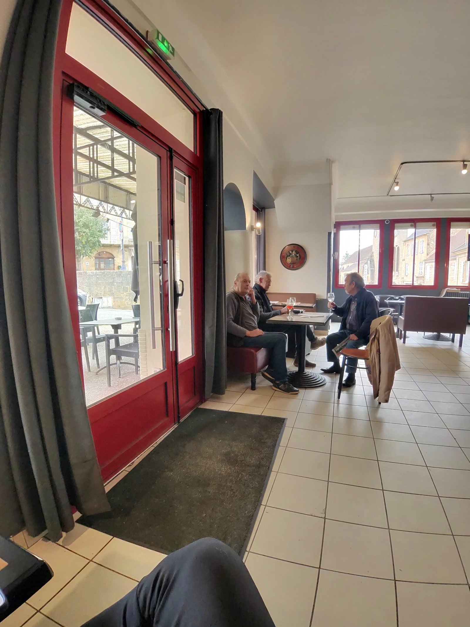
Gourdon was the first proper stop, just under half an hour in a café at 45 km. Coffee in hand, I could see the rest of the day laid out: north again, then a long drop through the woods to the Dordogne.
The descent to the river was one of the treats of the day, losing more than 150 m to the valley floor at Saint-Julien-de-Lampon, where a château clings to the wooded cliff above the village church. I stopped on the bridge at Rouffillac to look down on the Dordogne, running low and clear around long pale sandbanks.
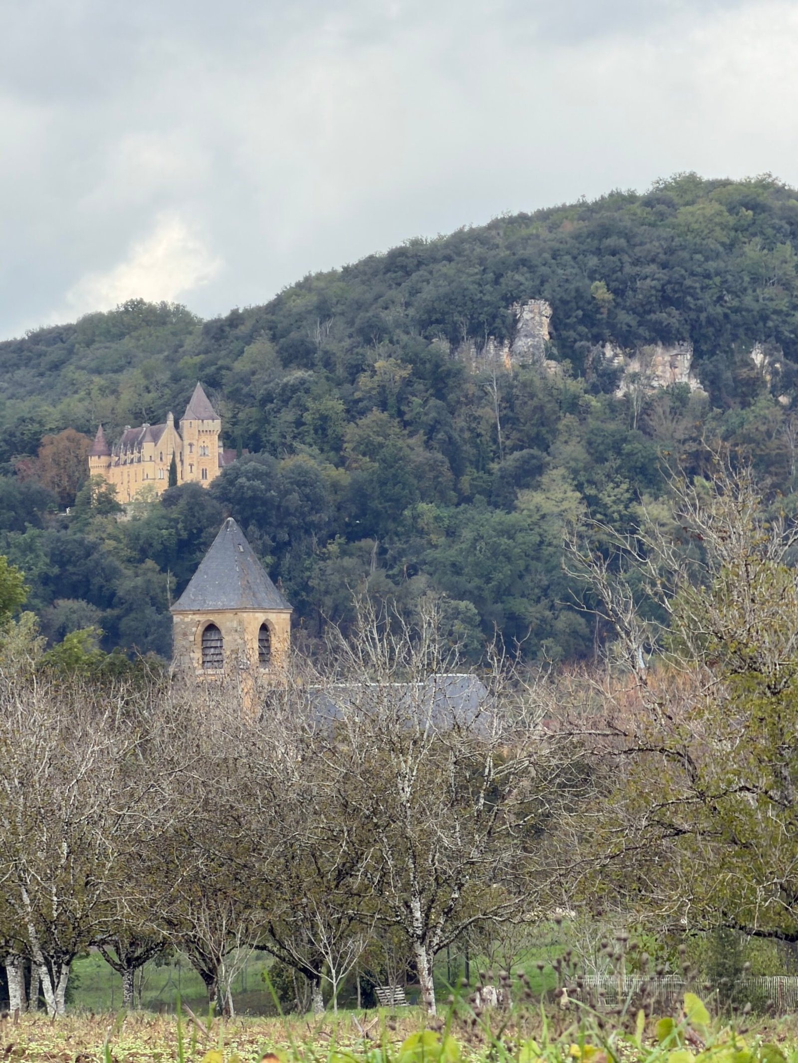
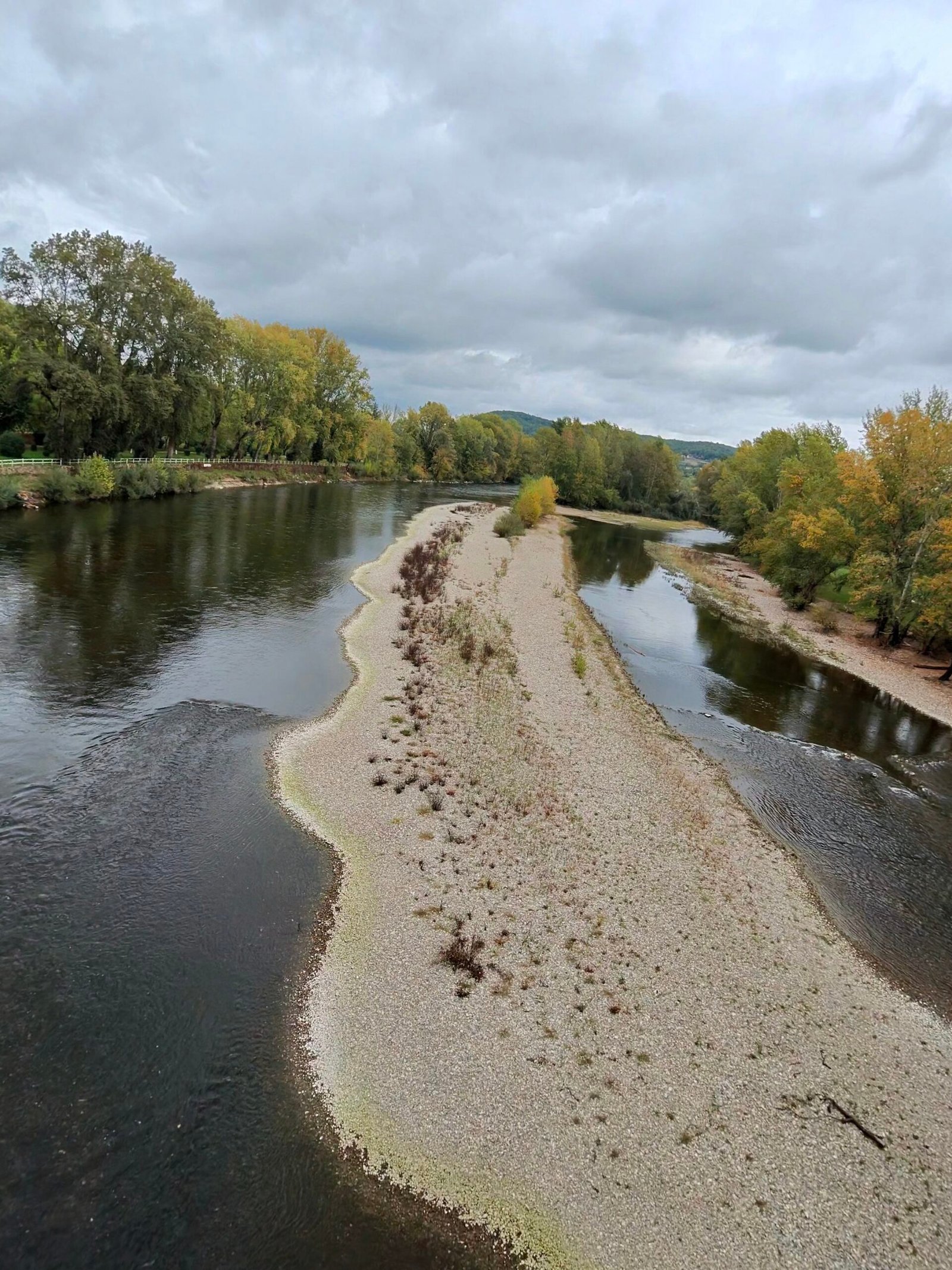
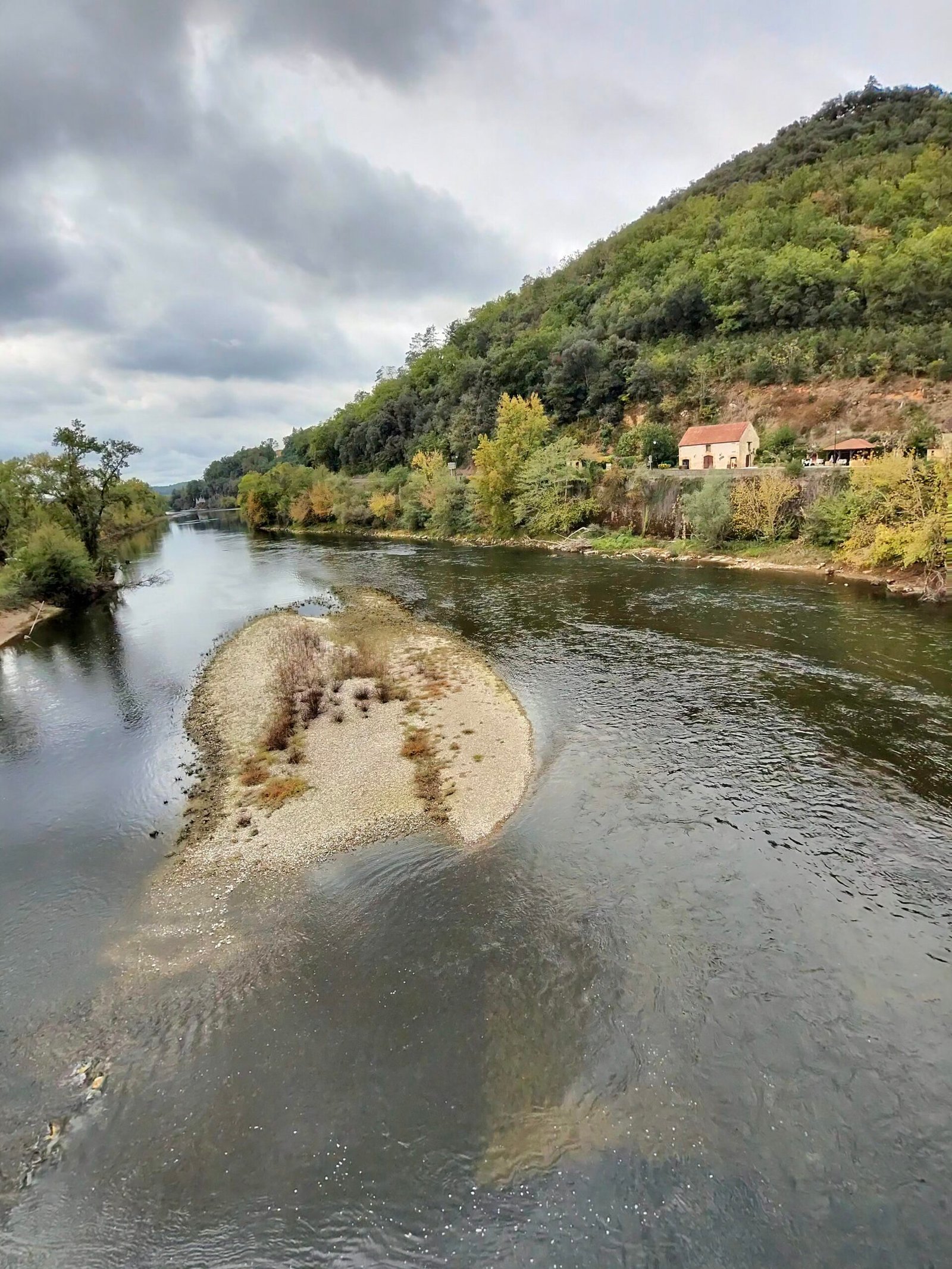
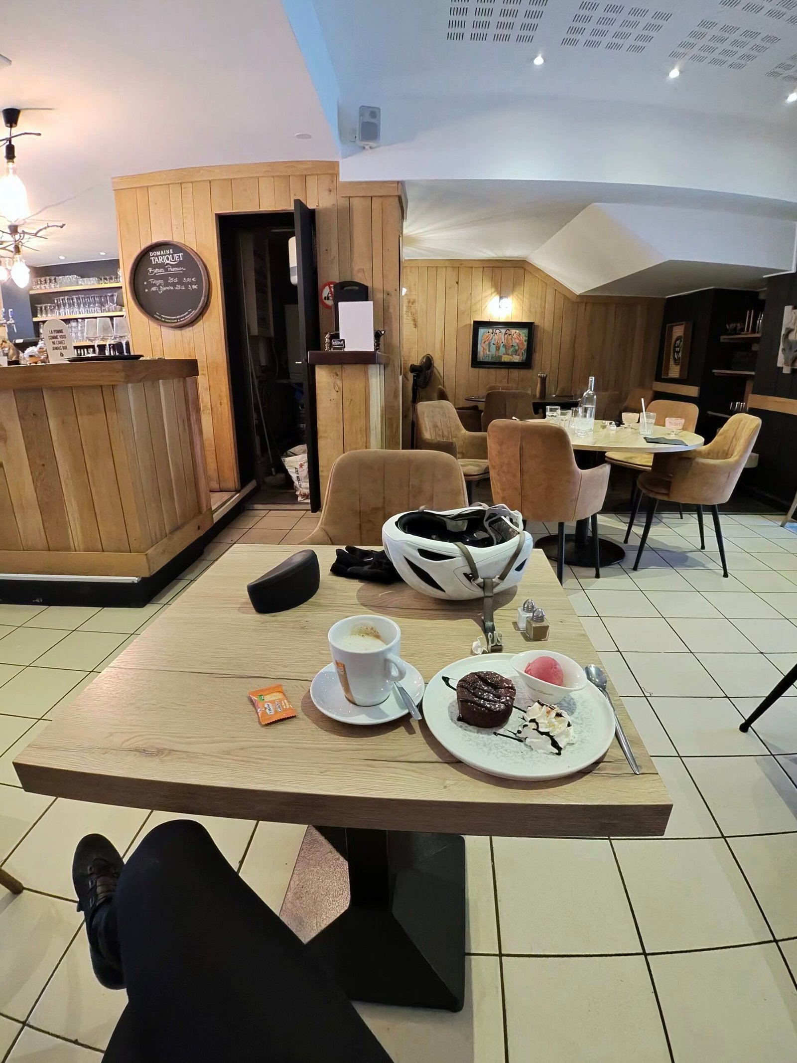
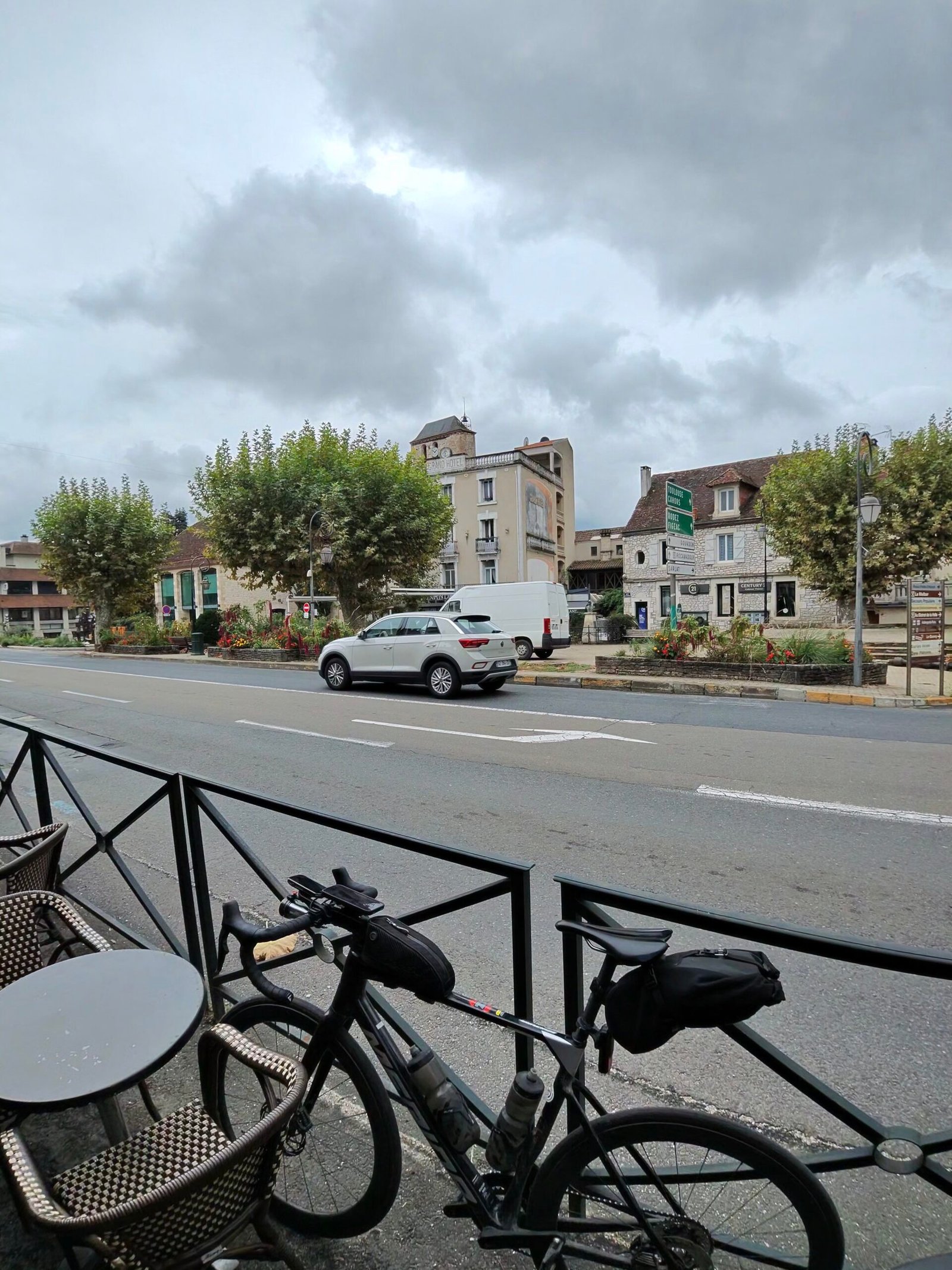
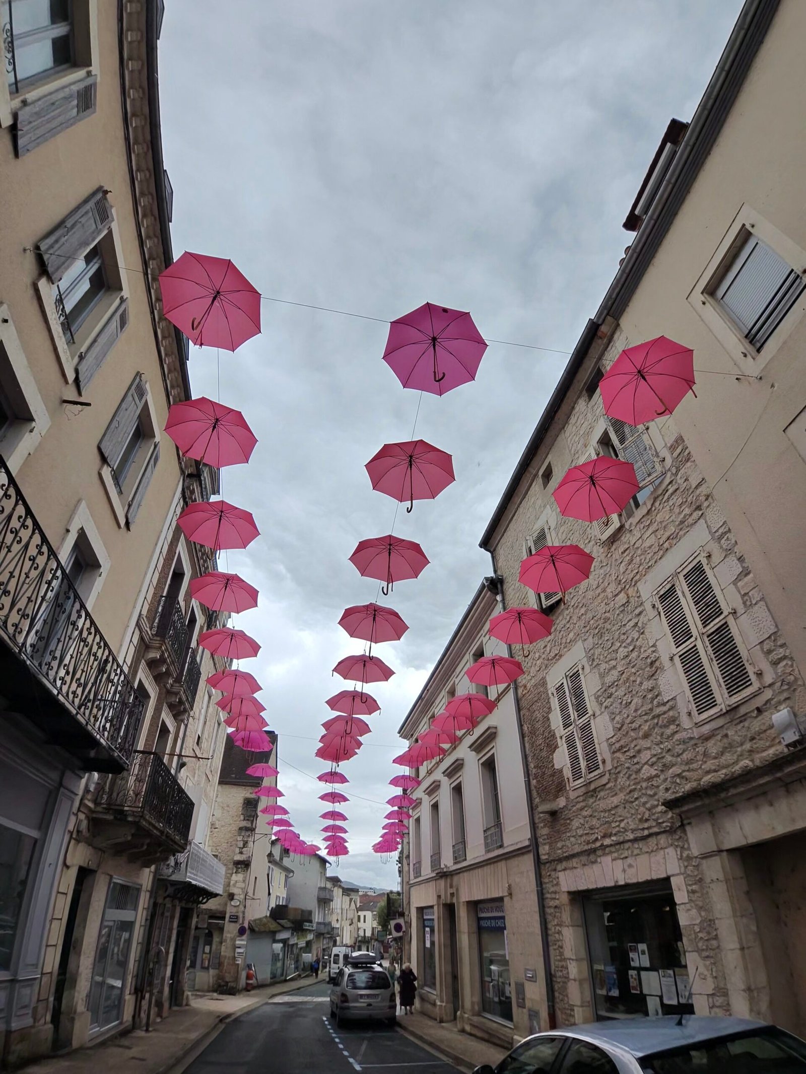
From there the road ran east along the river, flat and fast through Cazoulès and into Souillac, 75 km in and the turning point. I propped the bike against a café railing and took my second half-hour break, coffee and a slice of cake, before wandering out under a street strung with pink umbrellas.
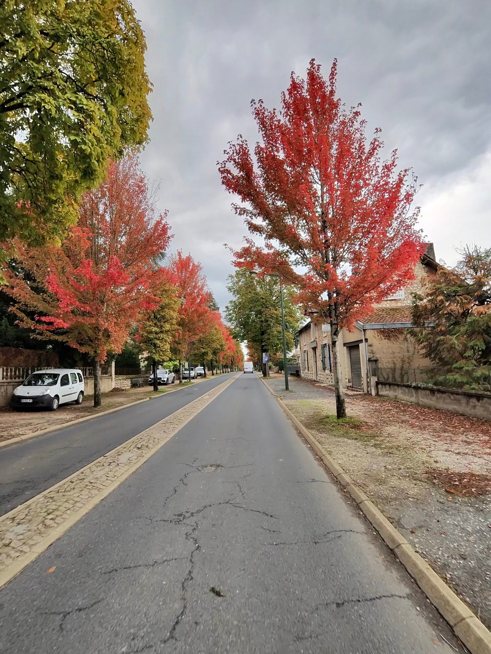
Souillac sits at the bottom of the valley, so the only way home was up. Leaving town the trees had turned a brilliant red, and a couple of kilometres later the road started to climb.
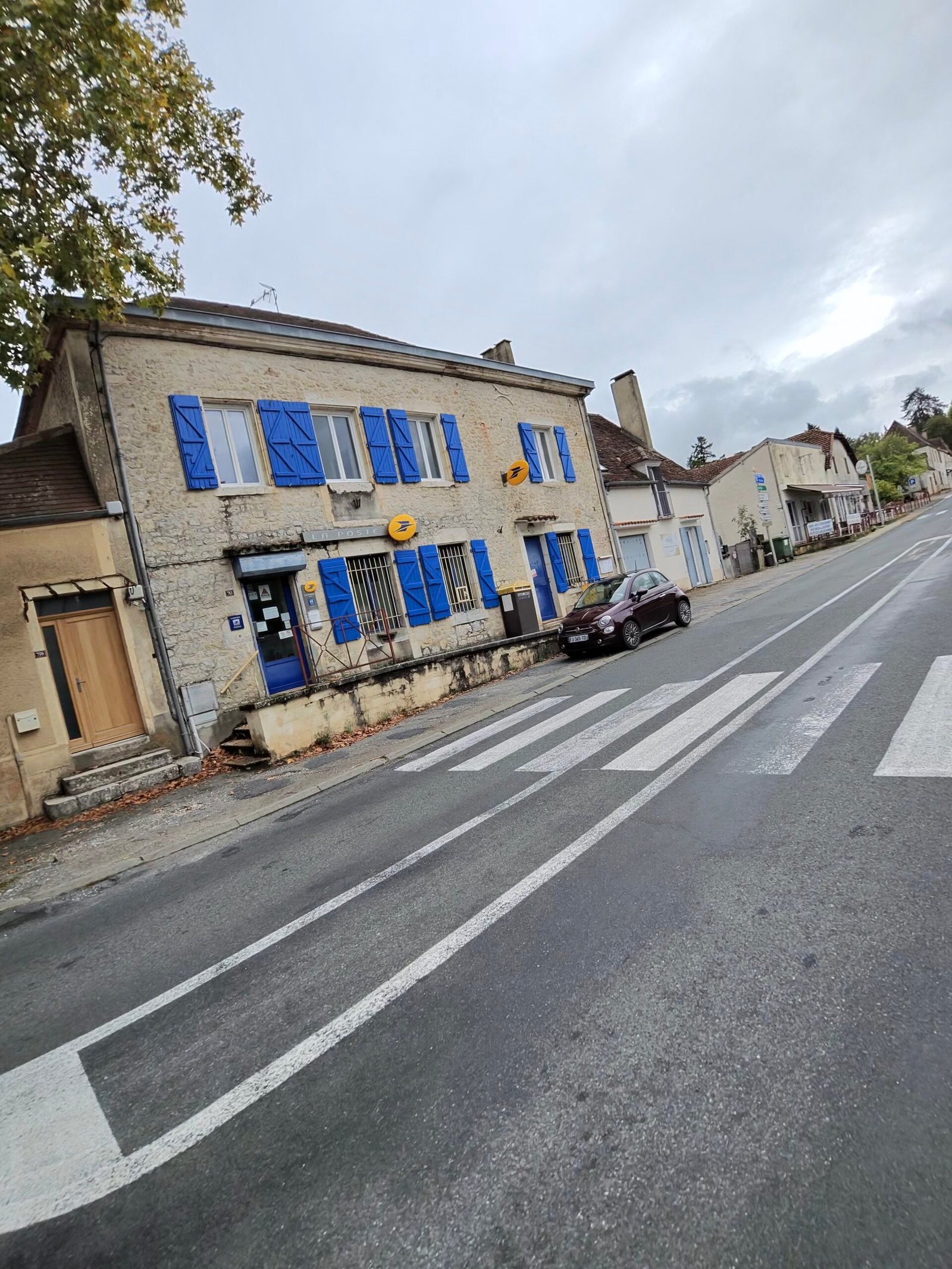
The Col de Grézelade was the climb of the day and Garmin’s only Cat 3: 4.6 km at 4.4%, just over 200 m up out of the Dordogne valley onto the plateau. I settled in at a steady 230 W and let it come to me, sixteen and a half minutes of grinding with the river dropping away below. Then came the D820 south, the old main road to Cahors, rolling over the causse through Payrac with its blue-shuttered houses and views back across the valley.
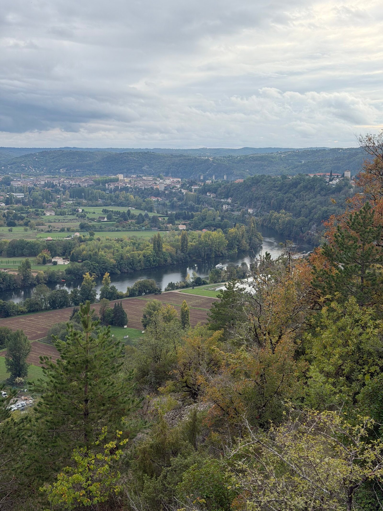
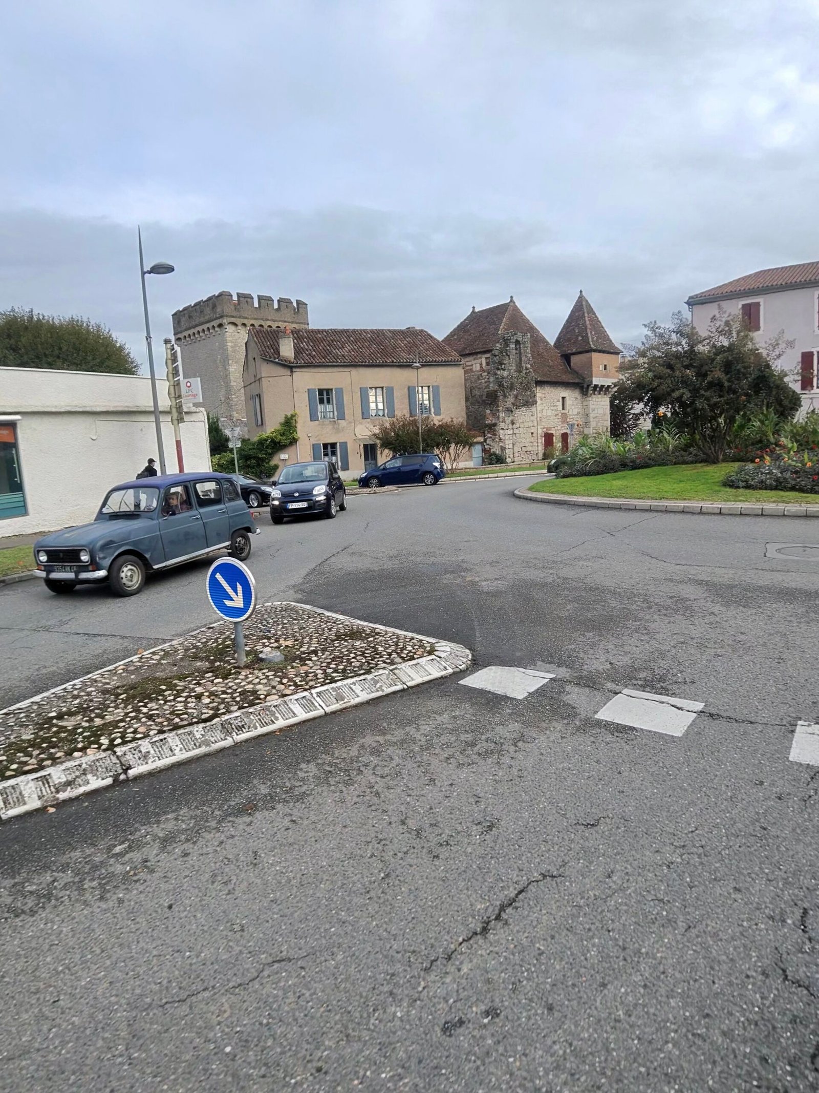
The last 50 km were a long, rolling haul south, with a short pause at 107 km before Garmin’s second Cat 4, 2.1 km at 5%, and plenty of smaller rises after it. The high point of the whole ride, just under 440 m, came a few kilometres later, which left a long, rolling descent of more than 300 m back down to the Lot. The road was quiet for a main route: 283 vehicles passed me all day, and the drop back into the Lot valley gave me a great view over Cahors before the final run into town. Six and three-quarter hours after setting off I was back where I started, 138 km and over 1,700 m of climbing later – two rivers, two cafés and the longest day of the trip.
The numbers
- Ride: #1122 on Strava, ride 251 of 2026, day 131 of the streak
- Distance: 138.3 km
- Moving time: 5:28:29 (6:44:47 elapsed)
- Elevation: 1,733 m
- Average power: 154 W
- Heart rate: 131 bpm average, 166 max
- Cadence: 92 rpm average
- Calories: 3,480 kcal
- Highlight: Col de Grézelade – 4.56 km, 204 m, 16:29 at 229 W
- Conditions: grey and cloudy, 9.5°C, 95% humidity, barely a breath of WSW wind
- Year to date: Distance 20,672 km, Elevation Gain 211,129 m
The route
Download the GPX (start and finish trimmed for privacy)
The profile and climbs
16 climbs: 1 Cat 3, 2 Cat 4, 13 uncategorised. Biggest: 4.6 km at 4.4%, 203 m of climbing (Cat 3, from km 77). Together the climbs account for 842 m of the ride’s ascent.
Cat 3 Cat 4 Uncategorised Pins mark where each Garmin ClimbPro climb starts. Hover or tap a pin for details.
Climbs table
| # | Starts at km | Length | Ascent | Avg grade | Time | Avg power | Category |
|---|---|---|---|---|---|---|---|
| 1 | 9.3 | 0.96 km | 25 m | 2.6% | 2:38 | 241 W | Uncategorised |
| 2 | 17.0 | 1.39 km | 64 m | 4.6% | 5:10 | 227 W | Uncategorised |
| 3 | 22.6 | 2.10 km | 97 m | 4.6% | 7:29 | 245 W | Cat 4 |
| 4 | 45.2 | 0.19 km | 2 m | 1.1% | 0:38 | 70 W | Uncategorised |
| 5 | 45.7 | 0.21 km | 2 m | 1% | 30:36 | 78 W | Uncategorised |
| 6 | 47.6 | 0.82 km | 29 m | 3.6% | 2:28 | 231 W | Uncategorised |
| 7 | 68.3 | 0.60 km | 23 m | 3.9% | 1:48 | 232 W | Uncategorised |
| 8 | 77.1 | 4.65 km | 203 m | 4.4% | 16:32 | 232 W | Cat 3 |
| 9 | 88.3 | 0.59 km | 18 m | 3.1% | 1:40 | 221 W | Uncategorised |
| 10 | 89.8 | 1.30 km | 50 m | 3.8% | 4:13 | 223 W | Uncategorised |
| 11 | 92.5 | 1.64 km | 68 m | 4.1% | 5:35 | 218 W | Uncategorised |
| 12 | 108.5 | 2.10 km | 106 m | 5% | 8:39 | 216 W | Cat 4 |
| 13 | 111.4 | 1.82 km | 61 m | 3.3% | 5:52 | 200 W | Uncategorised |
| 14 | 118.0 | 1.30 km | 63 m | 4.8% | 5:57 | 188 W | Uncategorised |
| 15 | 123.0 | 0.52 km | 19 m | 3.7% | 1:57 | 175 W | Uncategorised |
| 16 | 135.5 | 0.56 km | 12 m | 2.1% | 1:38 | 121 W | Uncategorised |