Ride 263 of the year and day 143 of the streak rolled out ten minutes before midnight on Sunday, and the plan was in the title: switching directions. On Friday’s loop I’d gone out through Nettlestead and Laddingford and climbed home over Hunton Hill. Tonight I’d ride the same lanes the other way round, down Hunton Hill first and home over Yalding Hill. It was cloudy, 9°C and almost still – mild for the first night of November.
So the night began with a gift: the long, gentle run off the ridge and down Hunton Hill, five easy kilometres with the legs barely ticking over, into Yalding.
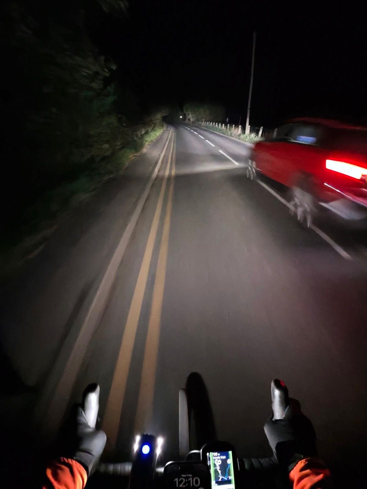
Out of the village the road ran south towards Laddingford, flat and dark between the hedges, and the Garmin was already counting down to the turn into Gravelly Ways when a red car swept past, its tail light smearing across the frame. It was one of just 7 vehicles on the whole ride.
From Laddingford the loop swung west and then north past Beltring and up through Nettlestead Green: steady Zone 2 miles on empty lanes, the headlight the only thing moving.
Then it was on through Nettlestead and down to the Medway at Wateringbury, and that was where switching directions paid off. Ridden this way, Bow Hill climbs straight up from the river towards Hunt Street, and with fresh legs I went at it hard. Three minutes and two seconds later I had a new PB on it, and my heart rate peaked at 160, the highest of the night.
A short drop brought me back towards Yalding for the sting in the tail: Yalding Hill, the one climb Garmin rates as a Category 4, grinding back up onto the ridge at a steady 236 W. From the top it was east along Heath Road and home, with 11 Strava PRs collected along the way – same lanes, opposite direction, and a whole new set of times to show for it.
The numbers
- Ride: #1134 on Strava, ride 263 of 2026, day 143 of the streak
- Distance: 26.4 km
- Moving time: 1:11:13 (1:12:29 elapsed)
- Elevation: 246 m
- Average power: 128 W
- Heart rate: 117 bpm average, 160 max
- Cadence: 88 rpm average
- Calories: 647 kcal
- Highlight: Bow Hill – 0.85 km, 39 m, 3:02 at 232 W (new PB)
- Conditions: dark and cloudy, 9.1°C (feels like 9°C), 92% humidity, barely a breath of northerly wind
- Year to date: Distance 21,302 km, Elevation Gain 217,276 m
The route
Download the GPX (start and finish trimmed for privacy)
The profile and climbs
2 climbs: 1 Cat 4, 1 uncategorised. Biggest: 1.5 km at 5.9%, 88 m of climbing (Cat 4, from km 20). Together the climbs account for 127 m of the ride’s ascent.
Cat 4 Uncategorised Pins mark where each Garmin ClimbPro climb starts. Hover or tap a pin for details.
Climbs table
| # | Starts at km | Length | Ascent | Avg grade | Time | Avg power | Category |
|---|---|---|---|---|---|---|---|
| 1 | 17.2 | 0.77 km | 39 m | 5.1% | 2:48 | 266 W | Uncategorised |
| 2 | 19.7 | 1.48 km | 88 m | 5.9% | 6:53 | 233 W | Cat 4 |
Every town, café, beach and landmark from my rides is collected on the Links page.