Day two in the Lot, and the weather had turned. I rolled out of Cahors just before nine on a damp Monday morning: under 7°C, a lid of grey cloud, wet roads and hardly a breath of wind. After yesterday’s ride west along the river to Puy-l’Évêque (Meanders of the Lot), today pointed the other way: up onto the causse to Saint-Cirq-Lapopie, then home along the valley floor.
The first few kilometres followed the Lot upstream out of town towards Arcambal, the roads shiny with rain and the villages still quiet.
At Arcambal the road turns uphill. The Côte d’Arcambal on the D8 is the climb of the day, and Garmin rated it Cat 3: just over 4 km at a steady 4%, winding up out of the valley onto the limestone plateau and into the Parc naturel régional et géoparc des Causses du Quercy, the regional nature park and geopark that I crossed all the way to Saint-Cirq-Lapopie. Up top the road rolled across the Plateau de Lapeyre, open and quiet, with one shorter, steeper kick a few kilometres later before the long run to the edge of the Lot valley.
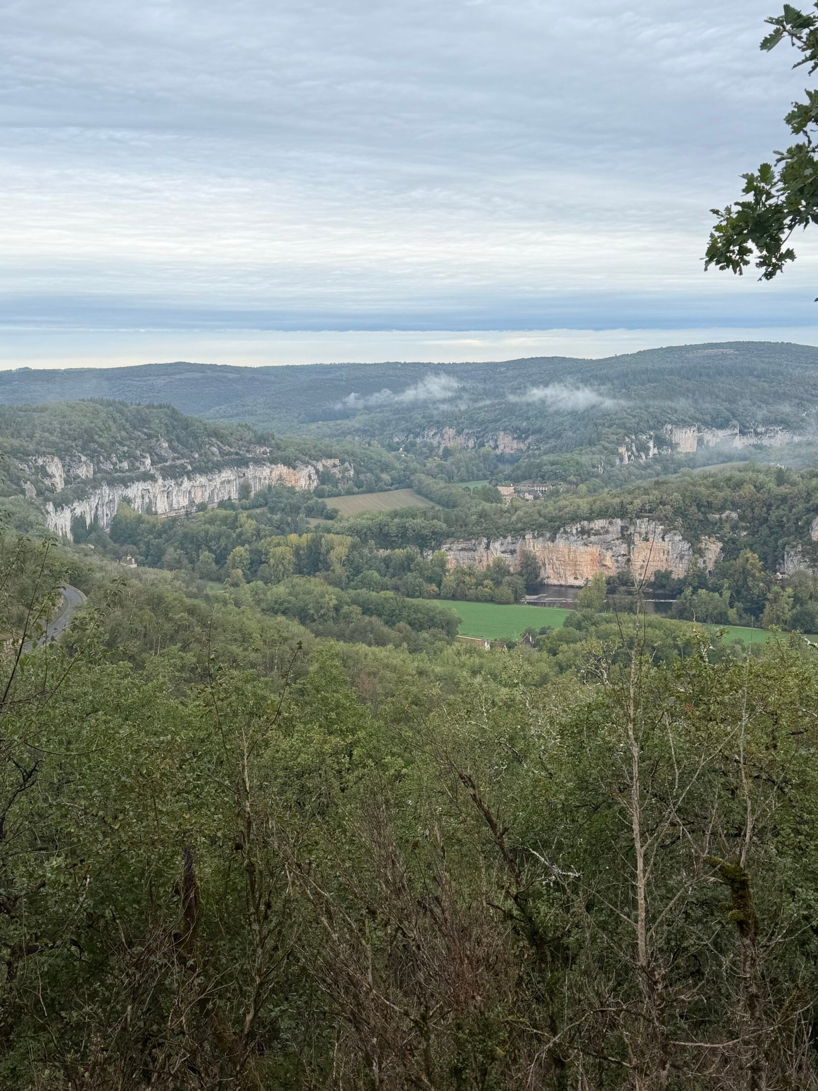
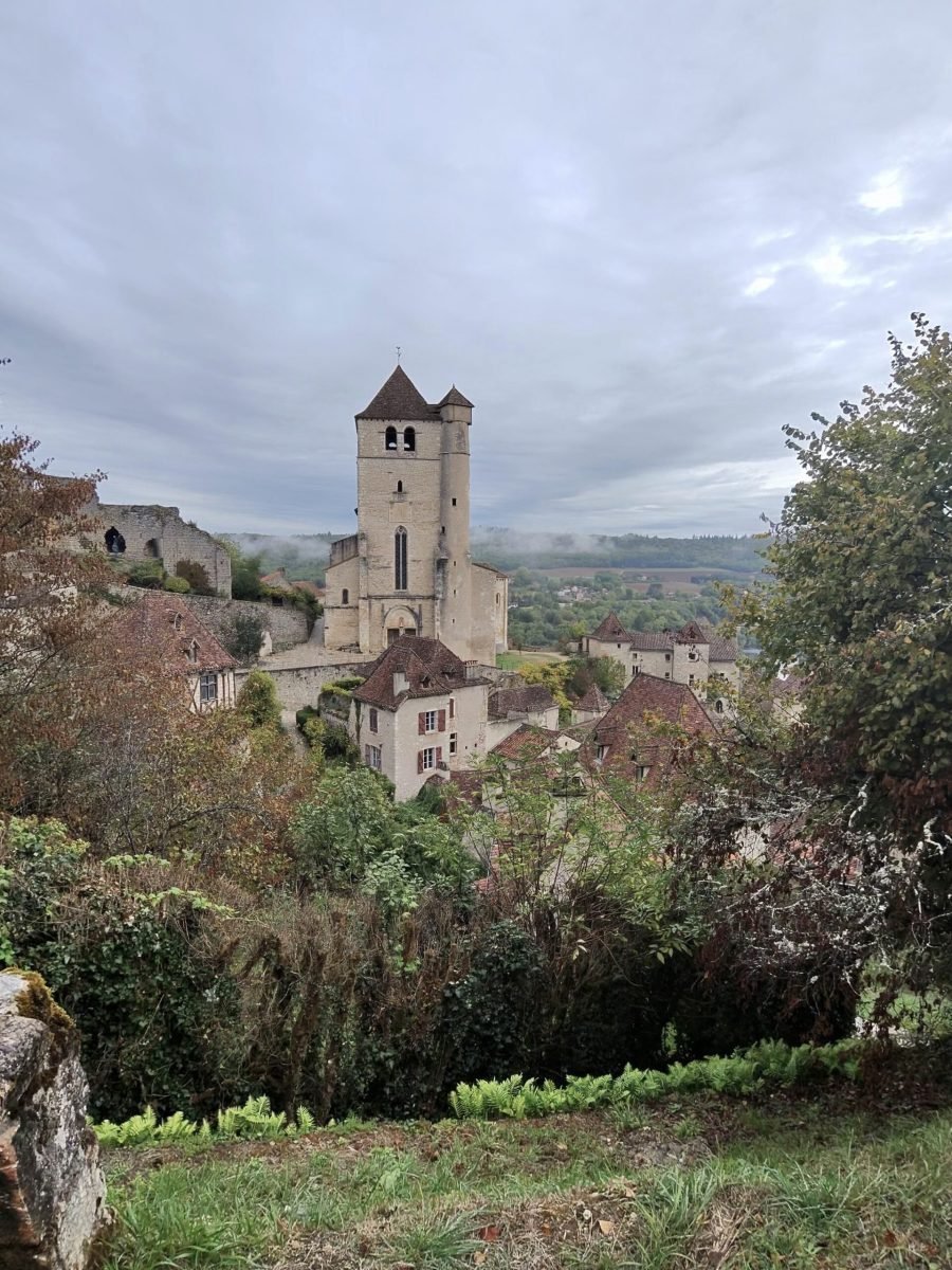
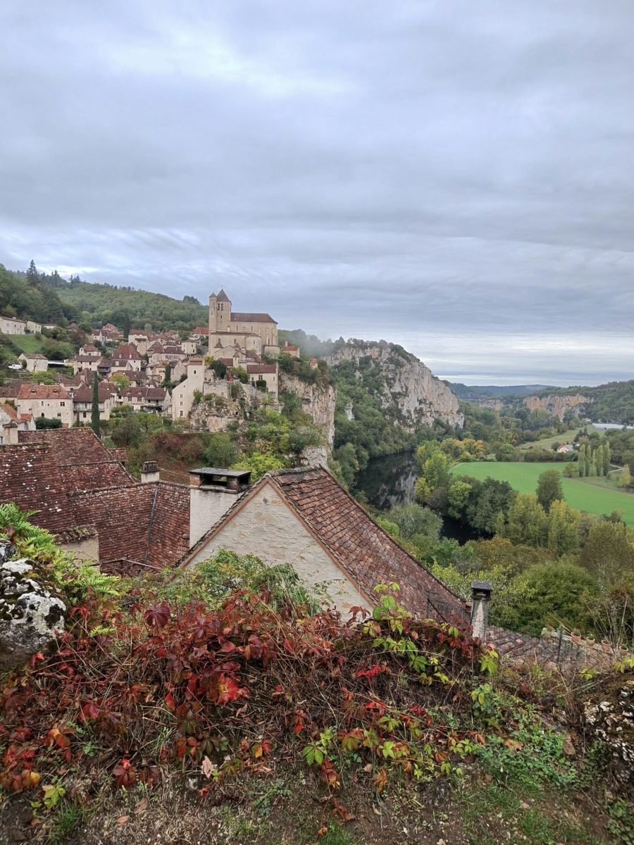
Saint-Cirq-Lapopie was the reason for the ride, and it didn’t disappoint. I stopped first at the viewpoint above the village to look out over the Lot valley, its pale cliffs standing out against the wooded hills, then again for the village itself: the church tower and a jumble of stone houses perched on the edge of the drop, set off by the reds and golds of autumn.
Even under a grey sky it lived up to its billing as one of the most beautiful villages in France, and my Strava comment said it in one word: stunning. Then came the reward for the climbing, a quick drop down to the bridge over the Lot below the village and the turn for home, downstream along the valley, past a road painted with the department’s slogan, Le Lot, bien plus qu’une étape.

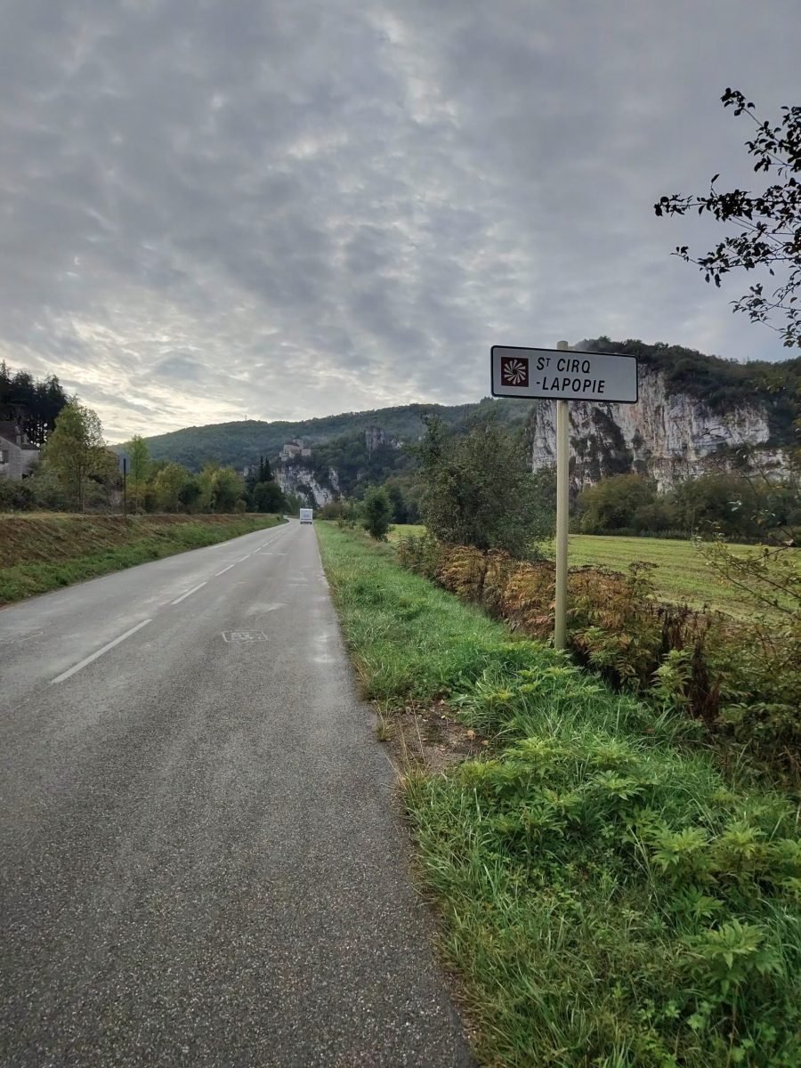
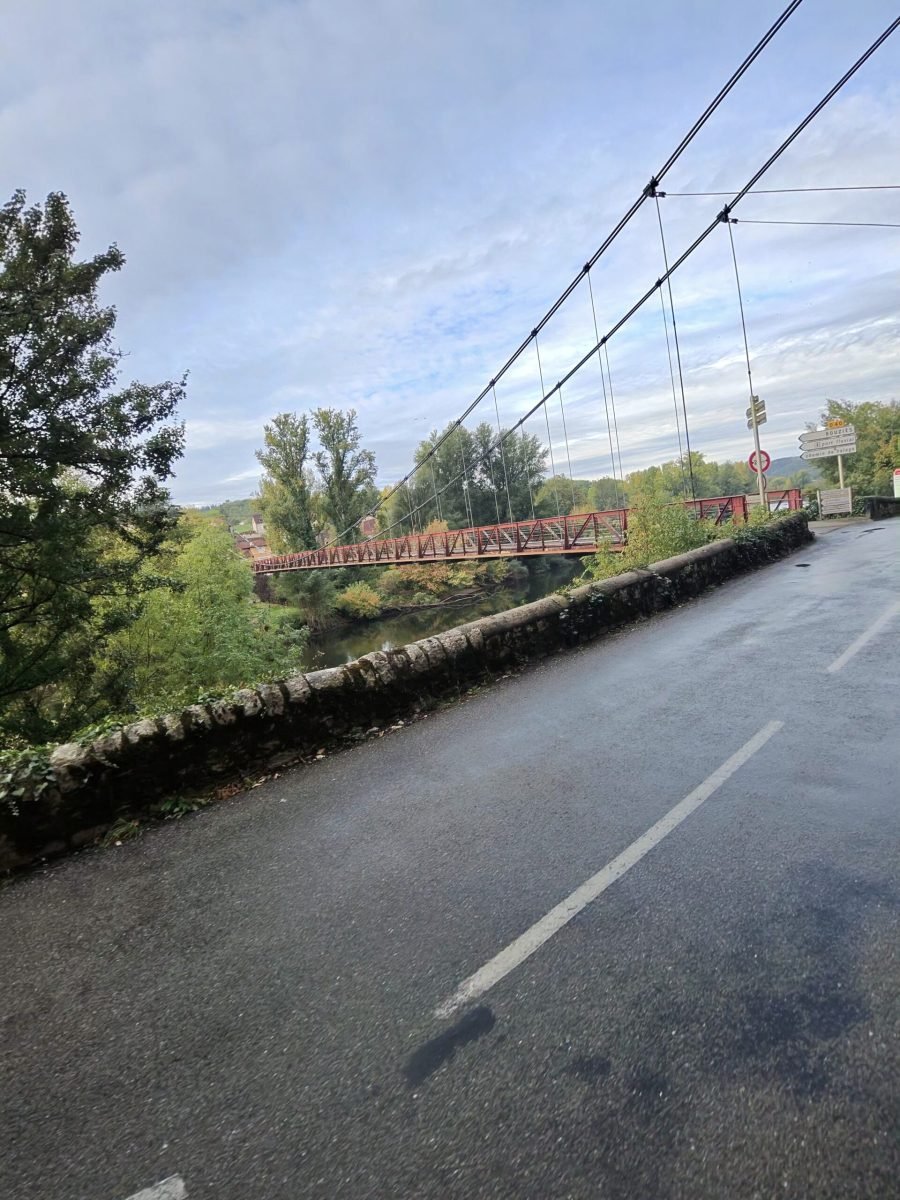
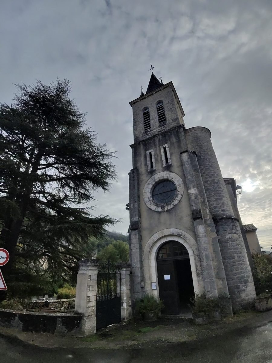
At Bouziès I made a short detour, crossing the Lot on the old suspension bridge to the village and its church, the Église Saint-Léger, stopping for a photo and then riding back over to pick up my route. From there the road became the highlight of the second half: cut into the foot of the cliffs, with a low stone wall on one side and the rock face hanging over the other.
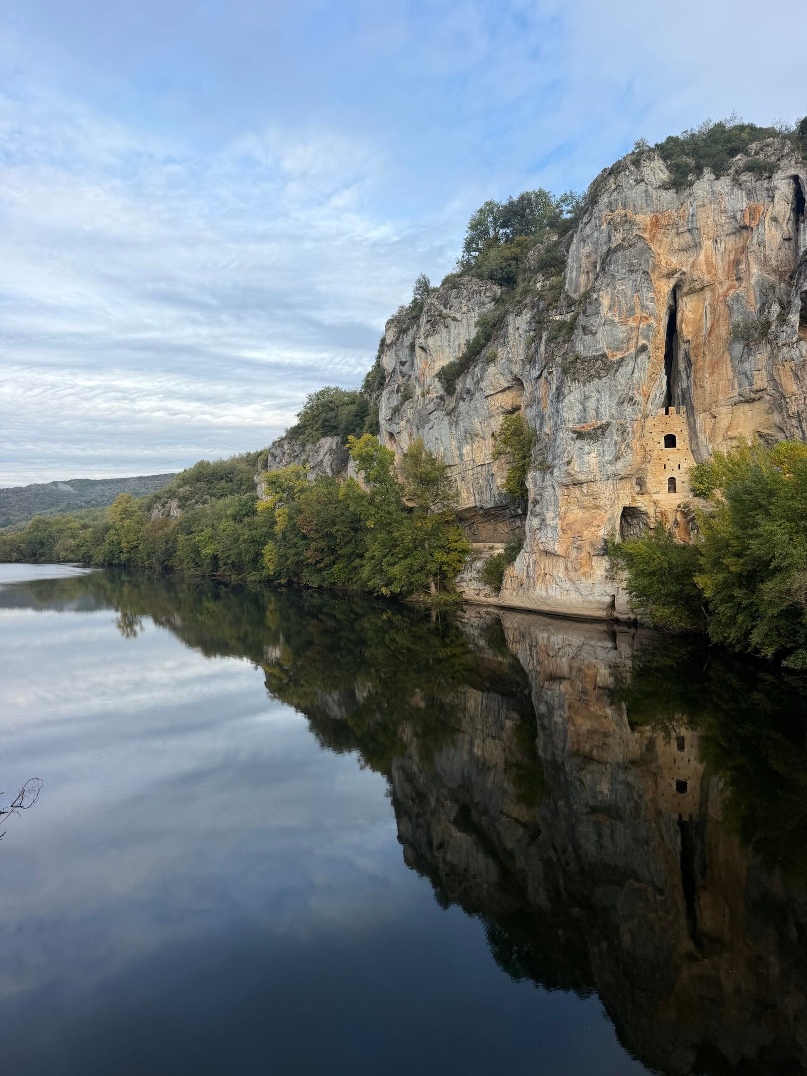
The Lot was perfectly still that morning, mirroring the cliffs and the troglodytic Château des Anglais, a medieval refuge built into the rock face and best seen from the bridge. After all the climbing on the way out, the way home was almost flat, so I settled into a steady rhythm and let the scenery do the work.
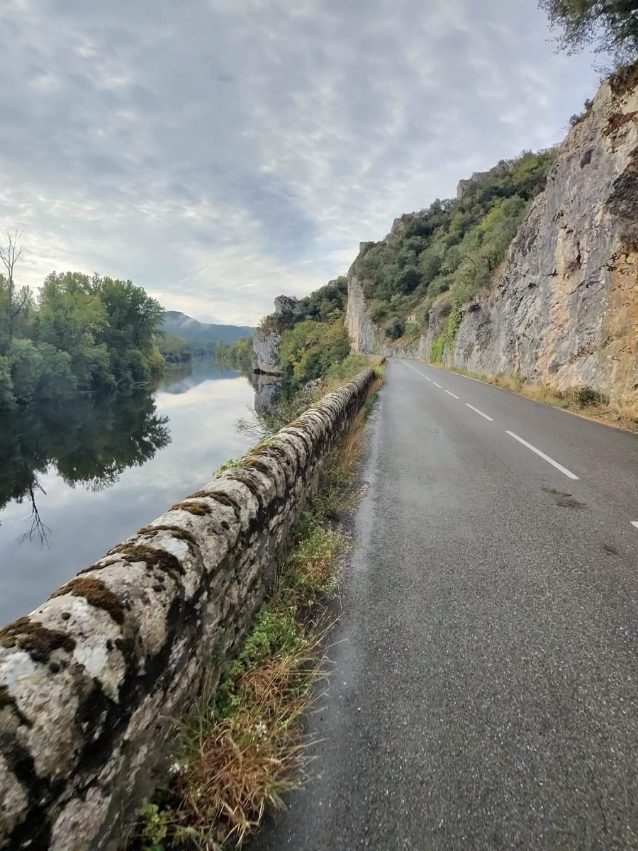
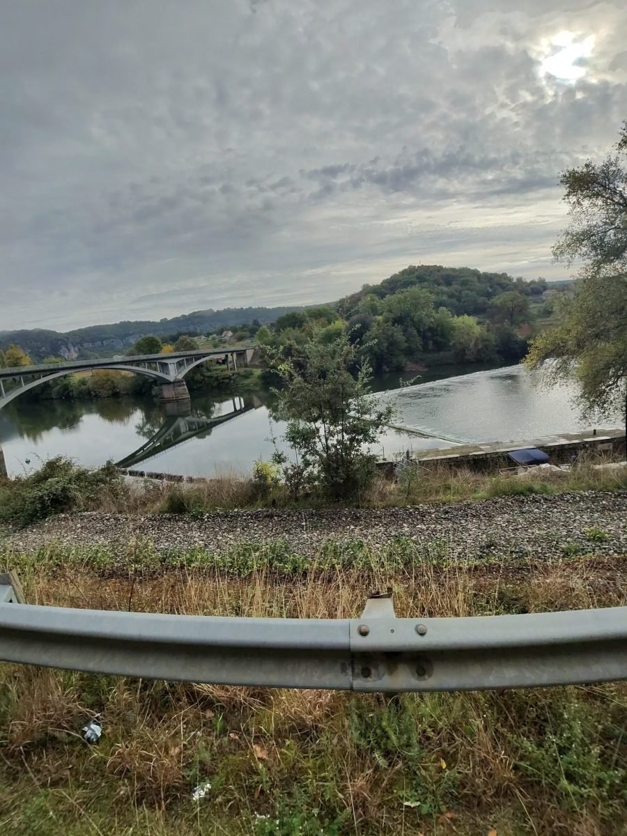
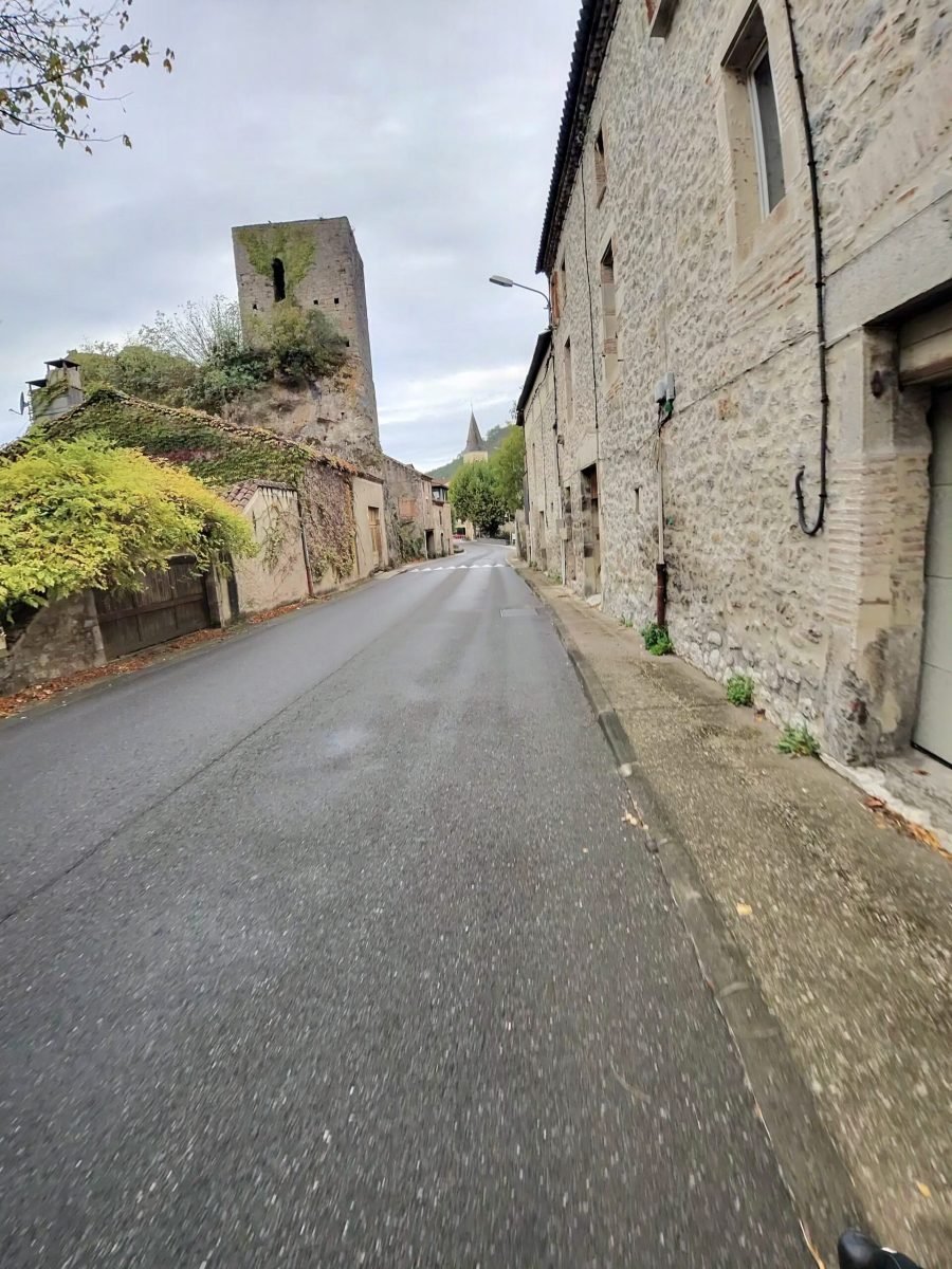
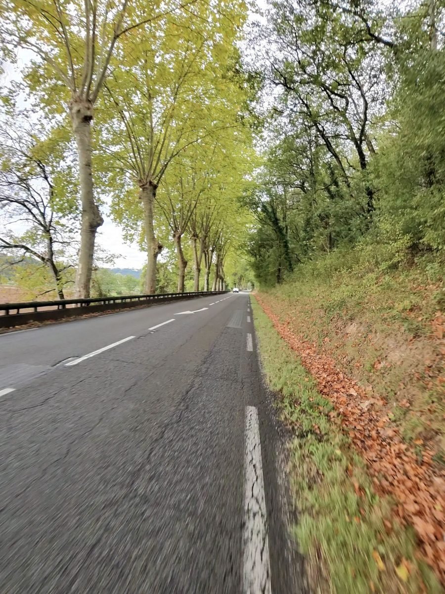
Downstream the valley opens out through Saint-Géry, Vers, Lamagdelaine and Laroque-des-Arcs, now part of Bellefont-La Rauze, past its old stone tower and long lines of plane trees dropping their leaves onto the verges.
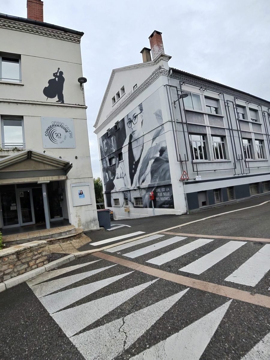
Then it was back into Cahors, past the big black-and-white mural near the finish, with the afternoon still free for a trip out to the caves at the Gouffre de Padirac. Sixty-one kilometres, one Cat 3 climb, a hilltop village and a cliff road, all before lunch – grey skies or not, a stunning morning in the Lot.
The numbers
- Ride: #1121 on Strava, ride 250 of 2026, day 130 of the streak
- Distance: 61.2 km
- Moving time: 2:34:04 (2:44:55 elapsed)
- Elevation: 473 m
- Average power: 110 W (no power data for the first 10 km)
- Heart rate: 124 bpm average, 157 max
- Cadence: 93 rpm average
- Calories: 1,539 kcal
- Highlight: Côte Arcambal-Les Mazuts (D8) – 4.09 km, 198 m, 15:53
- Conditions: grey and damp, wet roads, 6.7°C (feels like 7.4°C), 89% humidity, a light easterly
- Year to date: Distance 20,534 km, Elevation Gain 209,396 m
The route
Download the GPX (start and finish trimmed for privacy)
The profile and climbs
2 climbs: 1 Cat 3, 1 uncategorised. Biggest: 4.1 km at 4.1%, 166 m of climbing (Cat 3, from km 9). Together the climbs account for 220 m of the ride’s ascent.
Cat 3 Uncategorised Pins mark where each Garmin ClimbPro climb starts. Hover or tap a pin for details.
Climbs table
| # | Starts at km | Length | Ascent | Avg grade | Time | Avg power | Category |
|---|---|---|---|---|---|---|---|
| 1 | 8.8 | 4.06 km | 166 m | 4.1% | 15:54 | 215 W | Cat 3 |
| 2 | 16.1 | 0.97 km | 54 m | 5.6% | 4:05 | 234 W | Uncategorised |