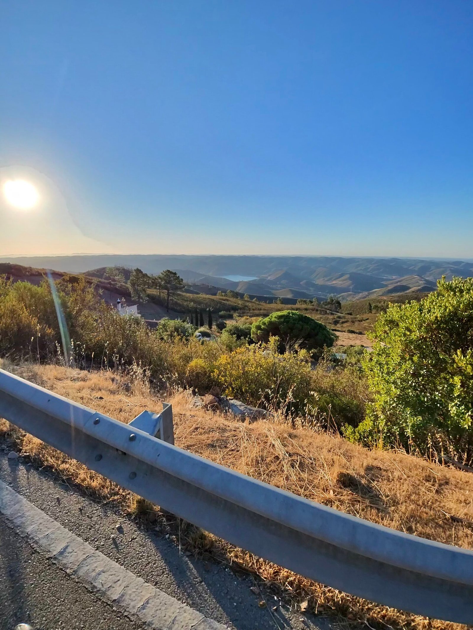
I rolled out of Silves at a quarter past six, still in the dark, with the thermometer on 17.9°C and a light breeze from the north-north-east. Day six in the Algarve, and the plan was the biggest loop of the trip: up to Monchique, north and west across the hills to the Atlantic side at Aljezur, then back past the Odiáxere dam and over Monchique a second time.
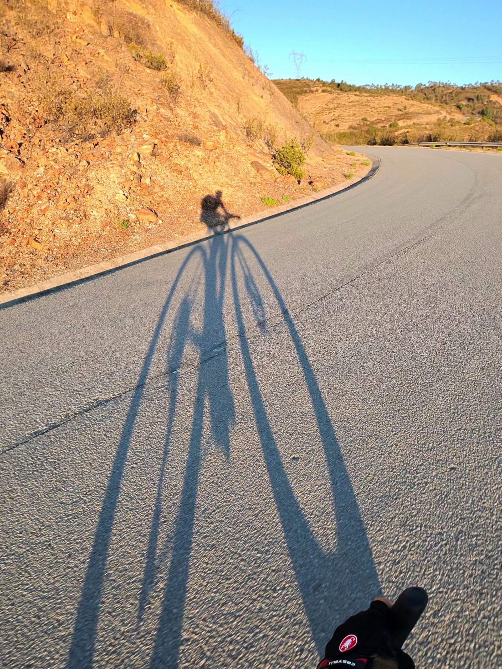
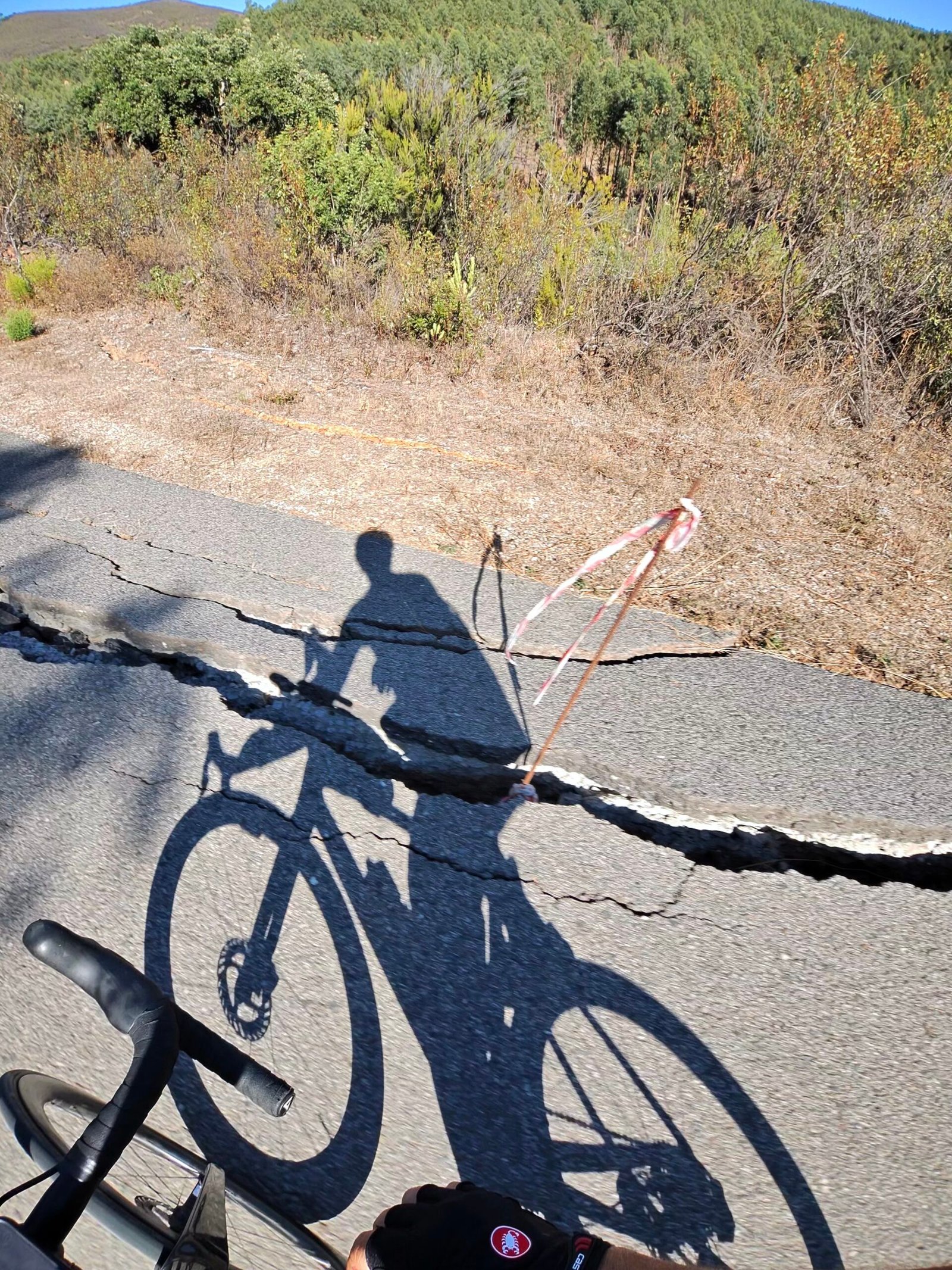
The first 20 km along the valley were gentle. Then the road tipped up for the climb up from the Odelouca valley to Alferce, nearly 6 km and close to 400 m of climbing, the hardest of the day, just as the sun came up and threw my shadow three times my height across the tarmac.
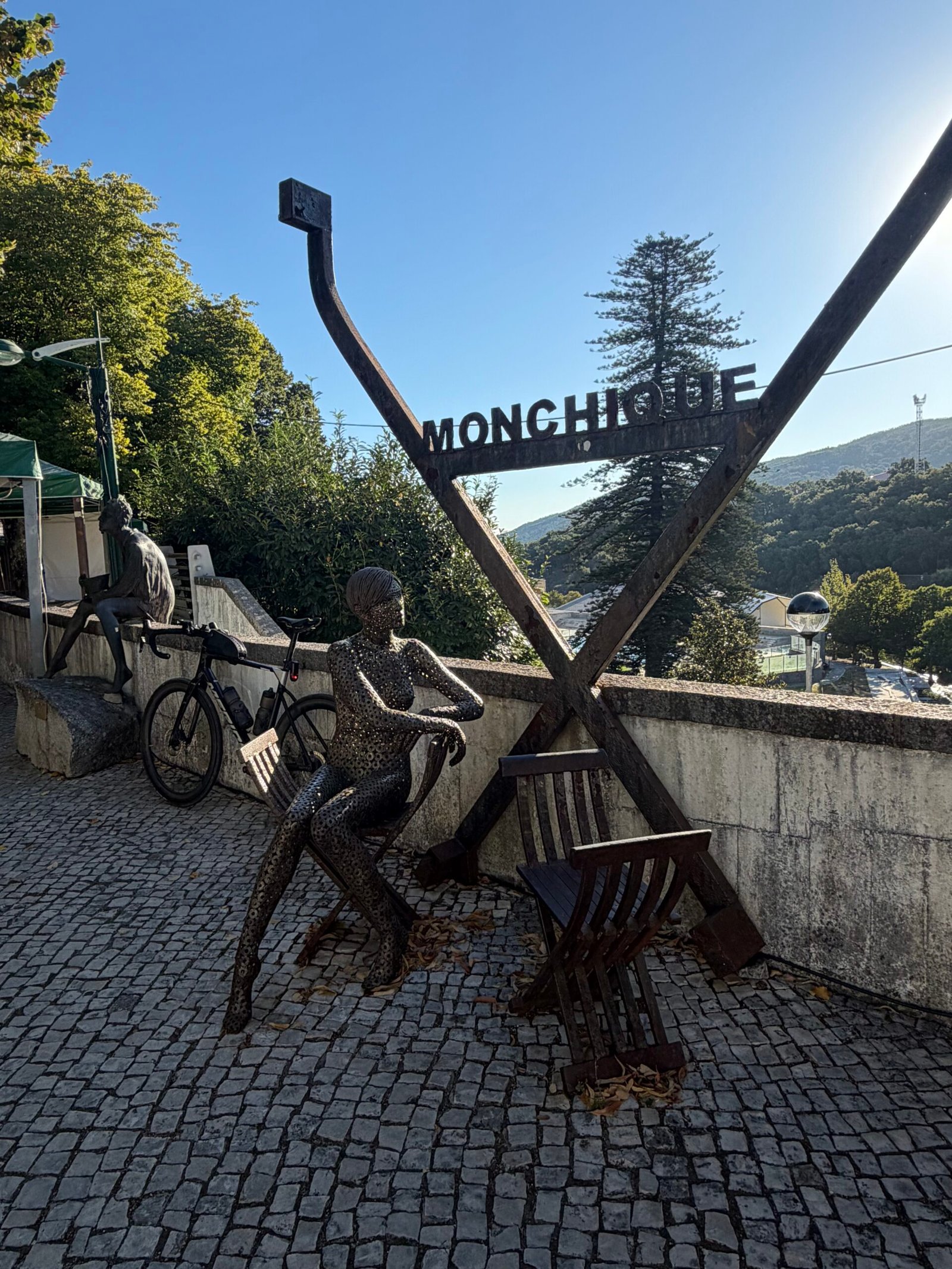
Over the top the light turned gold across the serra, and at 43 km I rolled into Monchique for a long stop at the Velochique bike café.
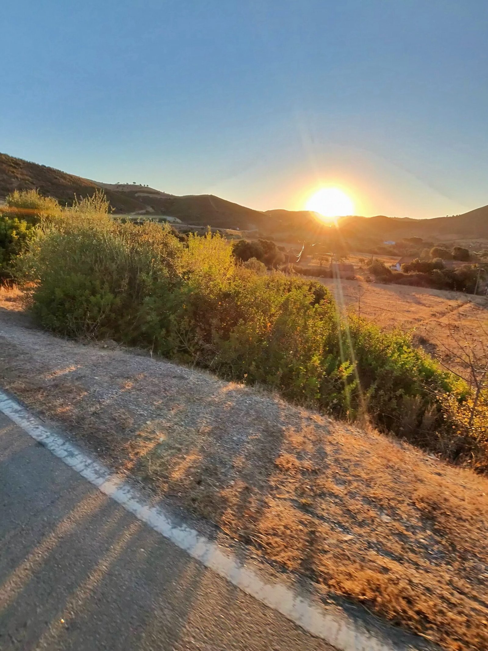
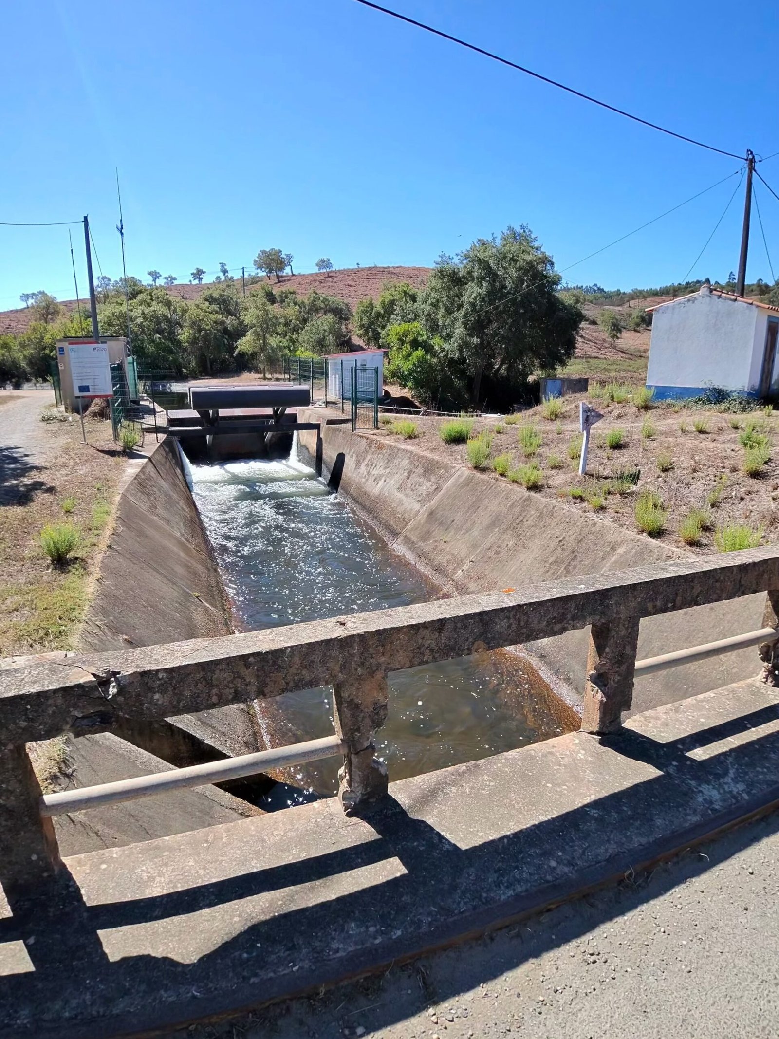
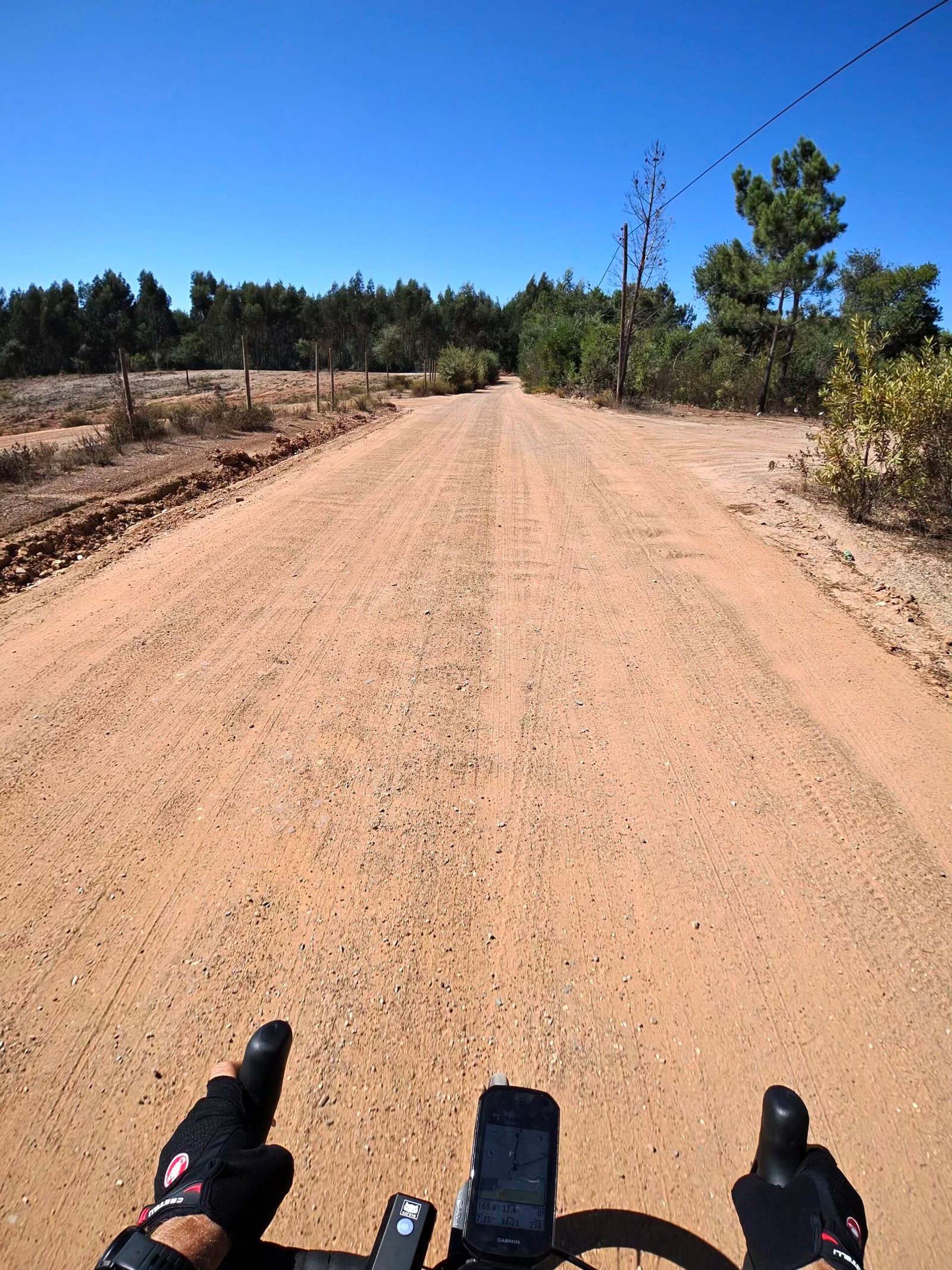
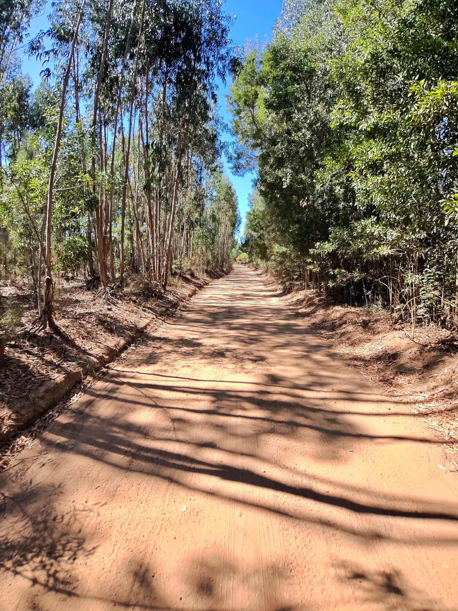
From Monchique I dropped north on the N266, a long, fast descent with 11 km of it averaging over 30 km/h, to Nave Redonda, then wound up towards Portela da Fonte Santa, the most northerly point of the day. Then it was west into quieter country, past a water channel at Barranco do Inferno and onto long stretches of dirt road under the eucalyptus.
This is the Algarve most visitors never see. Hardly anyone was about – just 252 vehicles passed me all day, about one a kilometre – and there were hills in every direction. Forty-three climbs in a day, as I put it on Strava afterwards, is my idea of heaven: a whole day spent cycling through seemingly endless countryside.

Beyond Marmelete there were cattle grazing on a patch of green in the middle of all that brown, then a sharp climb at over 8% before the road dropped to Rogil, where I took a long break before turning south along the N120, with the Atlantic just over the hills to my right.
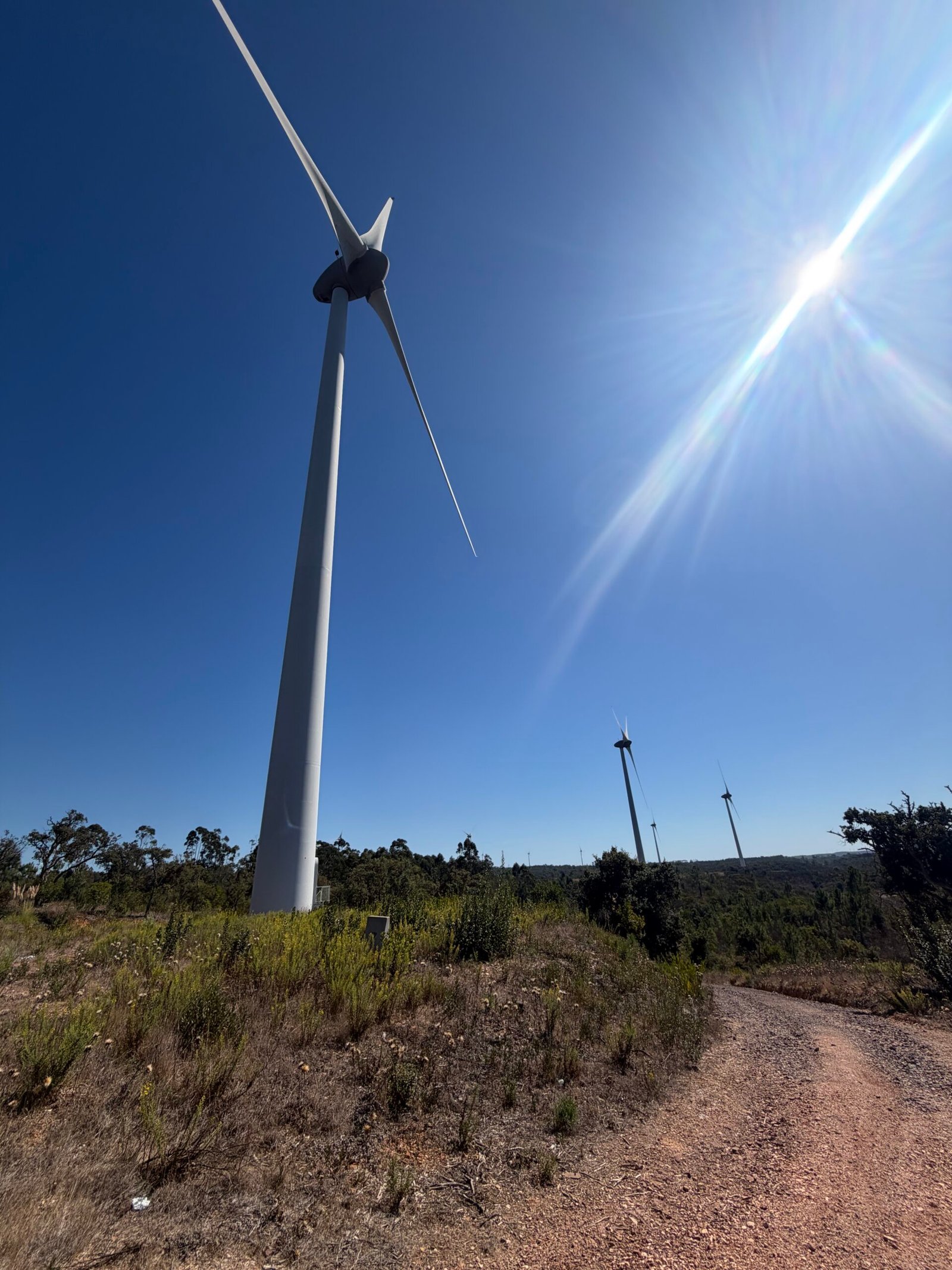
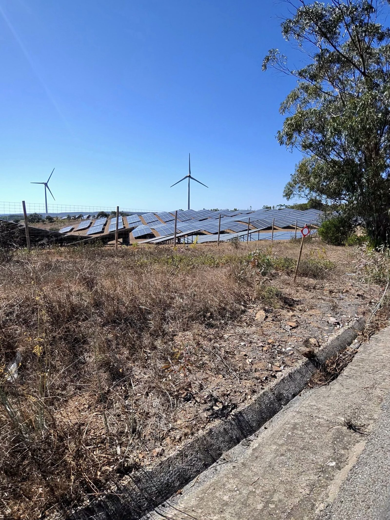
Through Aljezur and past the turbines at Alfambras I headed for Bensafrim and the Bravura reservoir behind the Odiáxere dam, 157 km in, where I leant the bike on the fence above the water for a quarter of an hour.
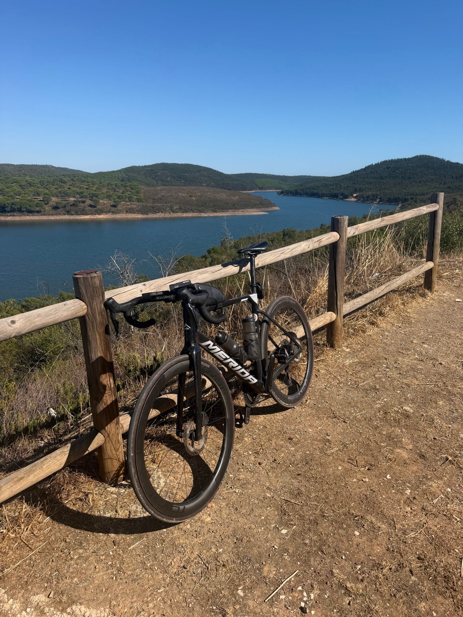
That left the sting in the tail. From the dam the road climbed back towards Monchique, over both of the day’s Cat 3 climbs, the longer nearly 6 km at 5% and a 35-minute grind that late in the day, and I reached the town for the second time at about 200 km, in the early evening, for one last stop.
After that it was nearly all downhill to Silves, the last 50 km in the dark, rolling in just after eleven. Garmin reckoned I’d sweated out around 7.5 litres, and somewhere along the way the year ticked past 17,000 km. Nearly seventeen hours out, more than four of them stopped, 263 km and almost 4,000 m of climbing – my idea of heaven.
The numbers
- Ride: #1083 on Strava, ride 212 of 2026, day 92 of the streak
- Distance: 263.1 km
- Moving time: 12:41:43 (16:49:11 elapsed)
- Elevation: 3,952 m
- Average power: 125 W
- Heart rate: not recorded on this ride
- Cadence: 80 rpm average
- Calories: 6,824 kcal
- Highlight: Odelouca valley to Alferce – 5.68 km, 379 m, 31:09 at 219 W
- Conditions: clear, 17.9°C at the start, 66% humidity, a light north-north-easterly breeze
- Year to date: Distance 17,193 km, Elevation Gain 181,116 m
The route
Download the GPX (start and finish trimmed for privacy)
The profile and climbs
43 climbs: 1 Cat 2, 2 Cat 3, 6 Cat 4, 34 uncategorised. Biggest: 5.8 km at 6.6%, 380 m of climbing (Cat 2, from km 26). Together the climbs account for 2,583 m of the ride’s ascent.
Cat 2 Cat 3 Cat 4 Uncategorised Pins mark where each Garmin ClimbPro climb starts. Hover or tap a pin for details.
Climbs table
| # | Starts at km | Length | Ascent | Avg grade | Time | Avg power | Category |
|---|---|---|---|---|---|---|---|
| 1 | 22.5 | 0.57 km | 34 m | 6% | 2:35 | 251 W | Uncategorised |
| 2 | 26.5 | 5.78 km | 380 m | 6.6% | 31:18 | 219 W | Cat 2 |
| 3 | 35.4 | 4.78 km | 140 m | 2.9% | 17:46 | 179 W | Cat 4 |
| 4 | 40.9 | 0.53 km | 12 m | 2.3% | 1:37 | 173 W | Uncategorised |
| 5 | 42.7 | 0.79 km | 23 m | 2.9% | 3:17 | 156 W | Uncategorised |
| 6 | 44.3 | 1.33 km | 41 m | 3.1% | 4:44 | 196 W | Uncategorised |
| 7 | 47.9 | 1.56 km | 63 m | 4% | 6:13 | 218 W | Uncategorised |
| 8 | 73.9 | 0.61 km | 46 m | 7.5% | 3:25 | 259 W | Uncategorised |
| 9 | 83.0 | 0.58 km | 18 m | 3.1% | 1:59 | 213 W | Uncategorised |
| 10 | 86.4 | 1.33 km | 67 m | 5% | 6:06 | 210 W | Uncategorised |
| 11 | 89.7 | 0.67 km | 55 m | 8.3% | 3:55 | 244 W | Uncategorised |
| 12 | 91.5 | 2.43 km | 99 m | 4.1% | 11:07 | 182 W | Cat 4 |
| 13 | 98.5 | 1.35 km | 39 m | 2.9% | 4:44 | 189 W | Uncategorised |
| 14 | 104.9 | 0.72 km | 19 m | 2.6% | 2:21 | 202 W | Uncategorised |
| 15 | 116.8 | 1.39 km | 114 m | 8.2% | 8:19 | 250 W | Cat 4 |
| 16 | 135.8 | 0.95 km | 28 m | 3% | 3:01 | 204 W | Uncategorised |
| 17 | 139.3 | 3.09 km | 96 m | 3.1% | 12:35 | 177 W | Cat 4 |
| 18 | 143.0 | 2.23 km | 69 m | 3.1% | 6:51 | 204 W | Uncategorised |
| 19 | 149.5 | 0.54 km | 26 m | 4.8% | 2:05 | 229 W | Uncategorised |
| 20 | 152.2 | 1.28 km | 71 m | 5.5% | 5:57 | 227 W | Uncategorised |
| 21 | 154.3 | 0.76 km | 28 m | 3.7% | 3:13 | 178 W | Uncategorised |
| 22 | 155.7 | 0.49 km | 18 m | 3.5% | 1:45 | 177 W | Uncategorised |
| 23 | 158.8 | 0.55 km | 36 m | 6.5% | 3:08 | 205 W | Uncategorised |
| 24 | 162.8 | 2.82 km | 193 m | 6.8% | 18:07 | 188 W | Cat 3 |
| 25 | 166.1 | 0.67 km | 18 m | 2.7% | 2:42 | 122 W | Uncategorised |
| 26 | 168.2 | 1.43 km | 61 m | 4.2% | 6:37 | 178 W | Uncategorised |
| 27 | 172.4 | 1.65 km | 98 m | 5.9% | 9:11 | 171 W | Cat 4 |
| 28 | 178.1 | 0.53 km | 16 m | 3% | 2:38 | 122 W | Uncategorised |
| 29 | 182.5 | 0.80 km | 26 m | 3.2% | 3:47 | 115 W | Uncategorised |
| 30 | 184.8 | 0.56 km | 12 m | 2.1% | 1:58 | 113 W | Uncategorised |
| 31 | 186.1 | 0.51 km | 9 m | 1.8% | 1:39 | 115 W | Uncategorised |
| 32 | 189.3 | 5.91 km | 298 m | 5% | 34:48 | 147 W | Cat 3 |
| 33 | 198.2 | 1.63 km | 46 m | 2.8% | 6:25 | 148 W | Uncategorised |
| 34 | 201.4 | 1.88 km | 90 m | 4.8% | 37:29 | 182 W | Cat 4 |
| 35 | 205.9 | 0.70 km | 13 m | 1.9% | 2:23 | 145 W | Uncategorised |
| 36 | 207.7 | 0.86 km | 22 m | 2.6% | 3:10 | 158 W | Uncategorised |
| 37 | 211.8 | 1.37 km | 38 m | 2.8% | 5:09 | 154 W | Uncategorised |
| 38 | 214.7 | 1.12 km | 29 m | 2.6% | 3:59 | 146 W | Uncategorised |
| 39 | 218.3 | 0.60 km | 24 m | 4% | 2:15 | 204 W | Uncategorised |
| 40 | 224.7 | 0.56 km | 6 m | 1.1% | 1:21 | 111 W | Uncategorised |
| 41 | 244.2 | 0.82 km | 15 m | 1.9% | 2:26 | 191 W | Uncategorised |
| 42 | 258.2 | 0.64 km | 15 m | 2.3% | 2:06 | 170 W | Uncategorised |
| 43 | 261.5 | 1.29 km | 32 m | 2.5% | 4:37 | 159 W | Uncategorised |