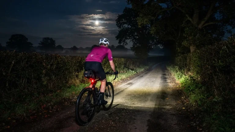
Sun, Fog and a Flat
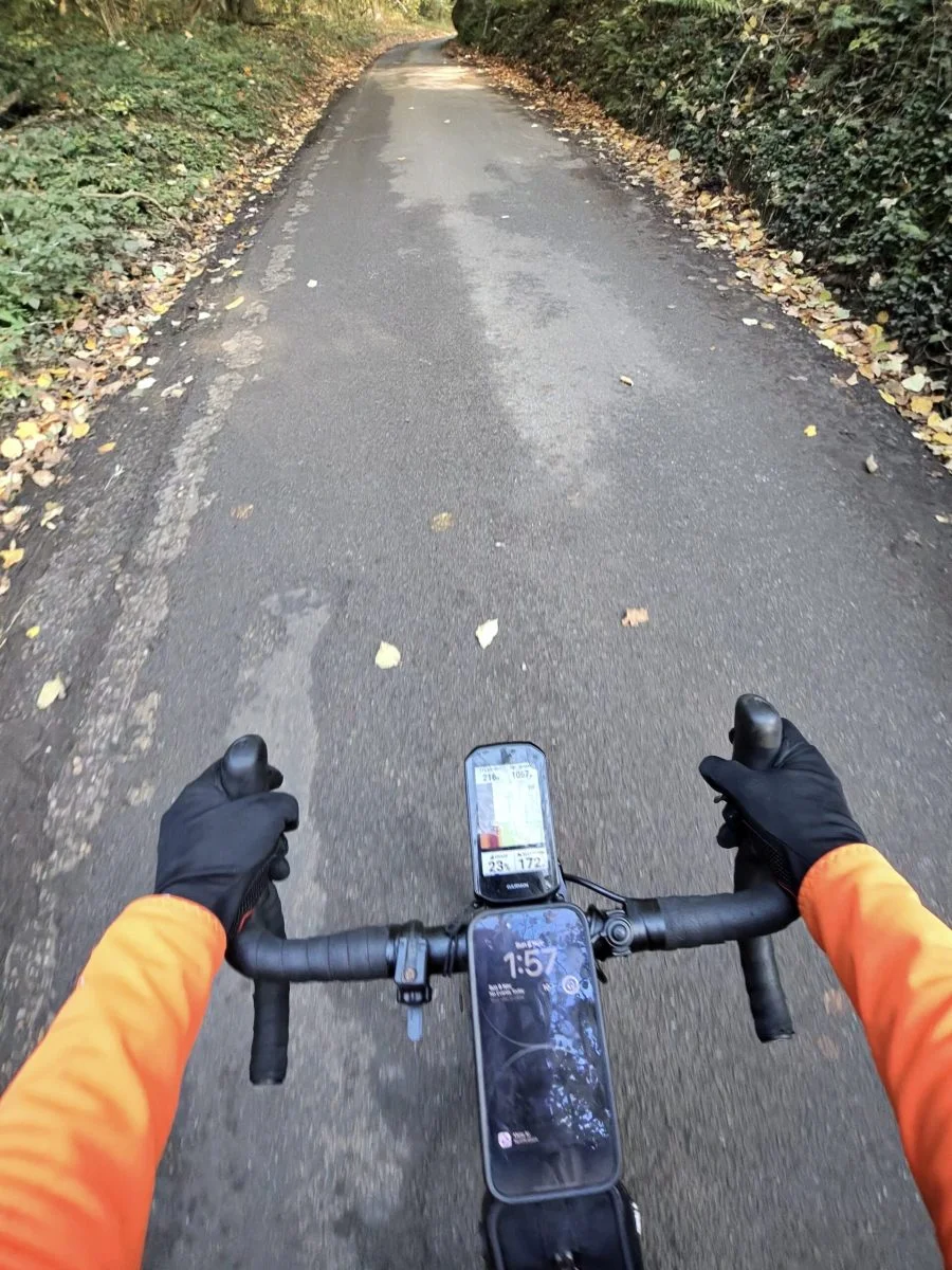
Remembrance Sunday was bright and properly autumnal, and for once I had daylight for the way out: a long loop from Coldblow Lane to Whitstable over the North Downs, and home across the hills behind Faversham.
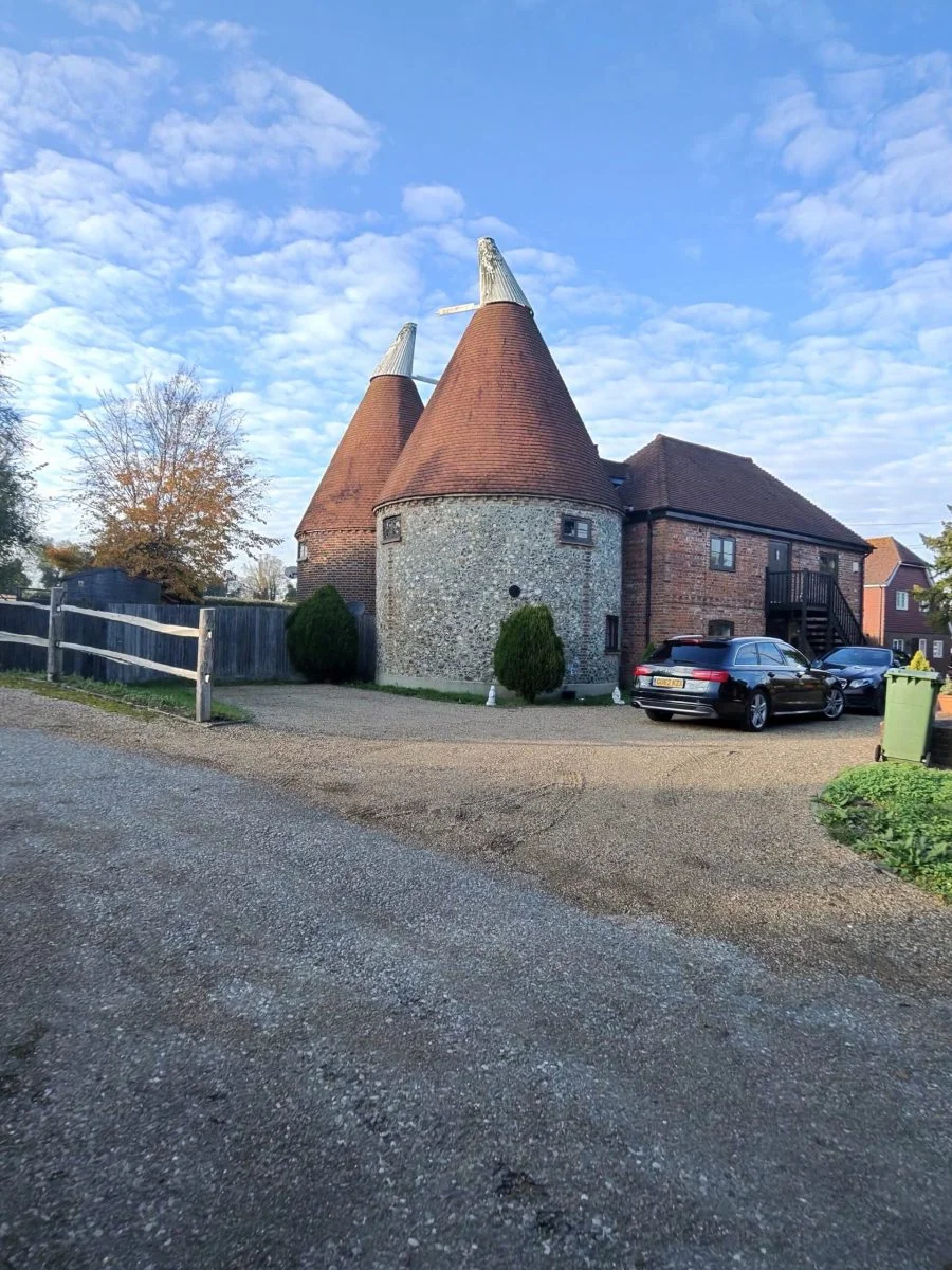
Through Boughton Monchelsea I passed the Oast House at Rivendale on the bend into Brishing Lane, and later Parsonage Oast on Spot Lane. The first climb was a gentle drag up Ashford Road out of Otham, and Garmin had me quicker up it than on any of my five earlier goes. Then came Water Lane, past Cobham Oast House, and Coldblow Lane above Thurnham, the steepest road of the day. Near the top the Garmin read 23%, and I took a photo of it to prove it.
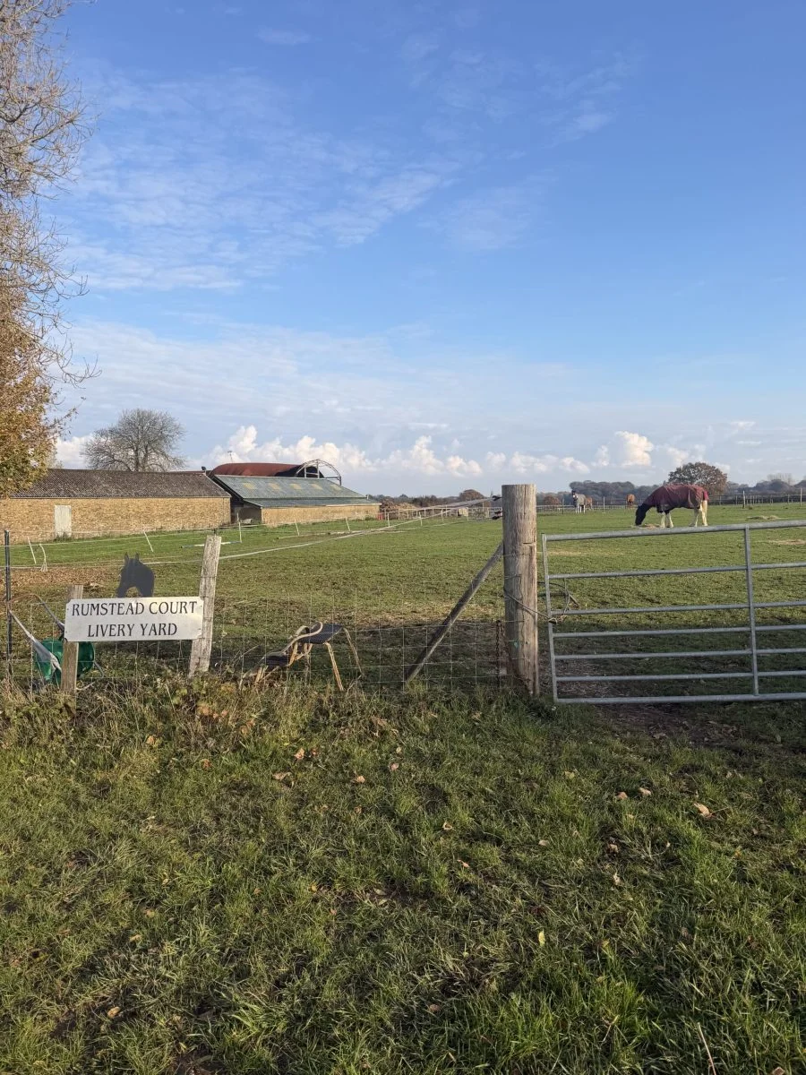
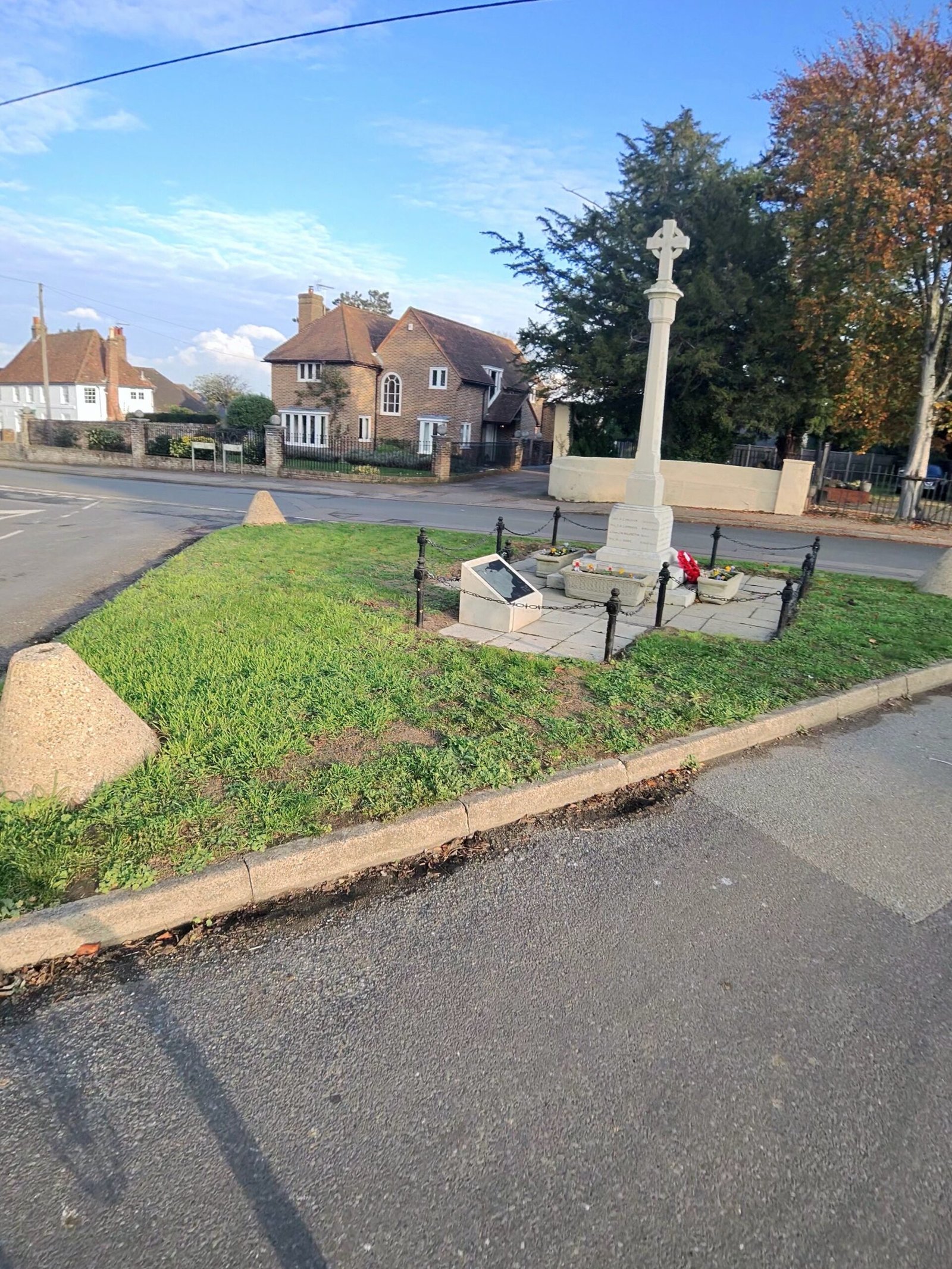
Over the top the lanes ran past the livery yard at Rumstead Court near Stockbury, then down Bicknor Lane, deep in leaves, past Bicknor Oast shining in the sun, and into Bredgar. The war memorial on the green was a fitting sight on Remembrance Sunday.
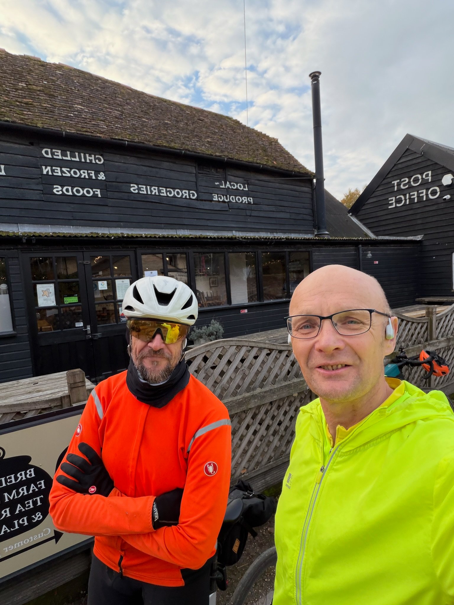
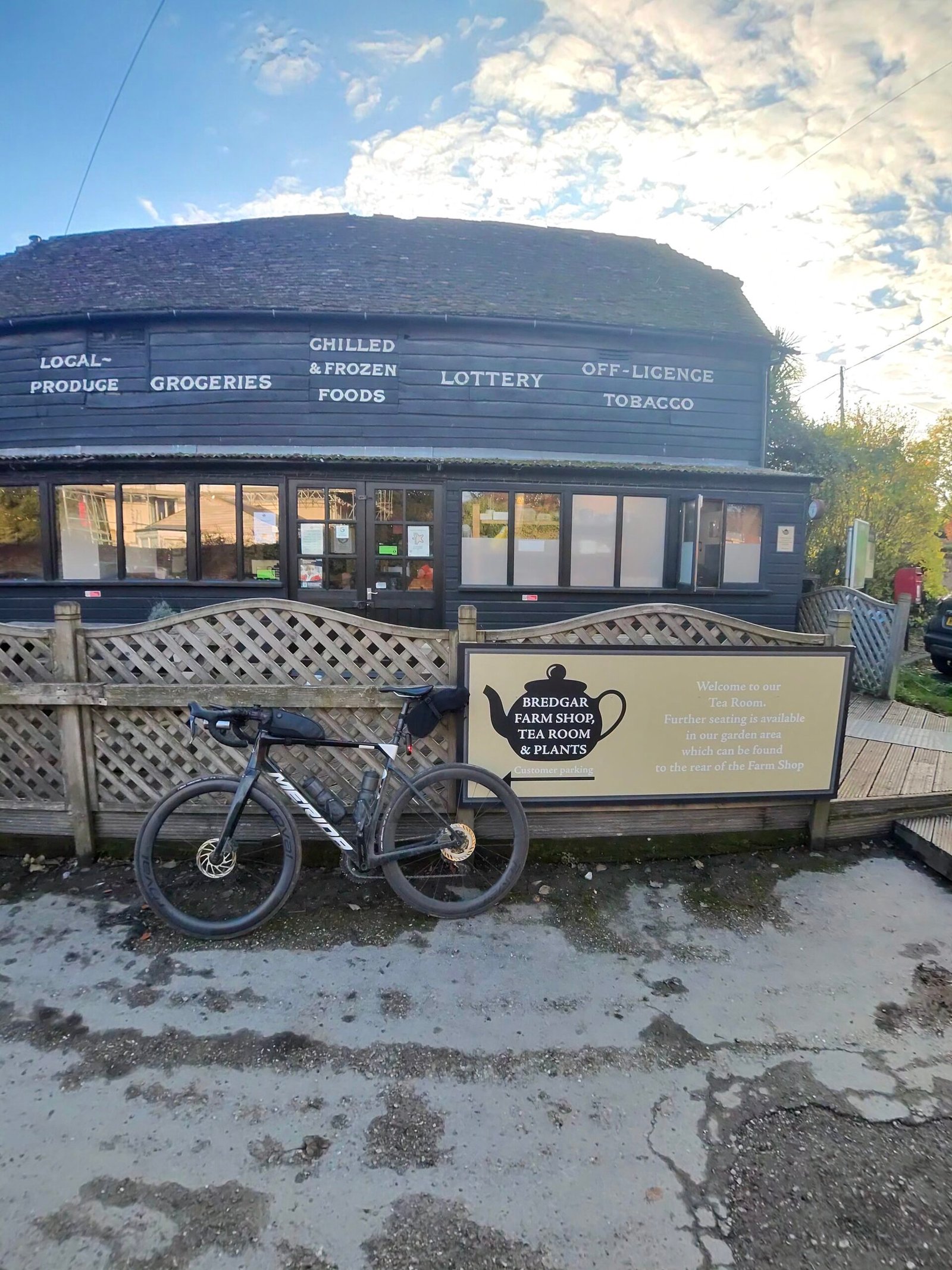
Bredgar Farm Shop and Tea Room, which doubles as the village post office, was the obvious stop, and half an hour went on coffee. Eugen Hanusch was nearby, so he quickly dropped by, and a selfie outside put my orange jacket next to his bright yellow one; between us, nobody was going to miss us.
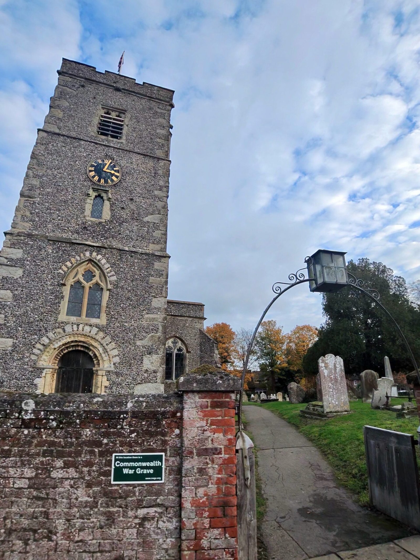
On the way out of the village I passed the flint tower of St John the Baptist, and the lanes carried on east through Milstead, past orchards and muddy farm tracks, towards Doddington.
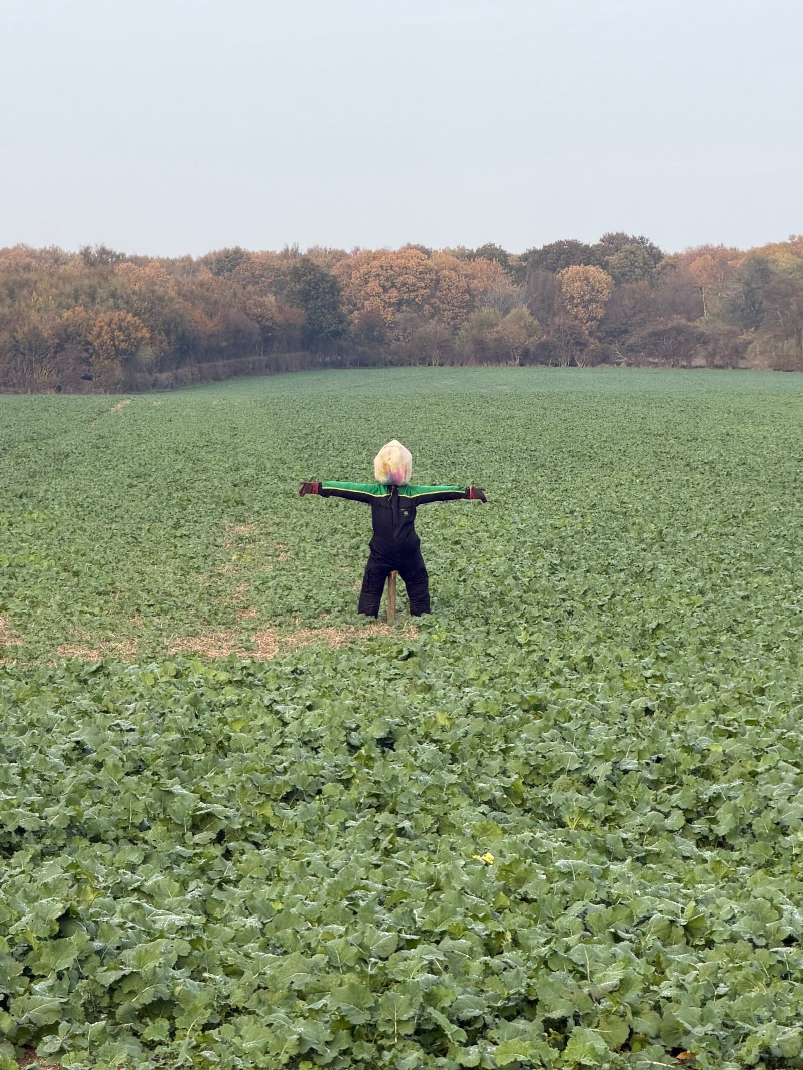
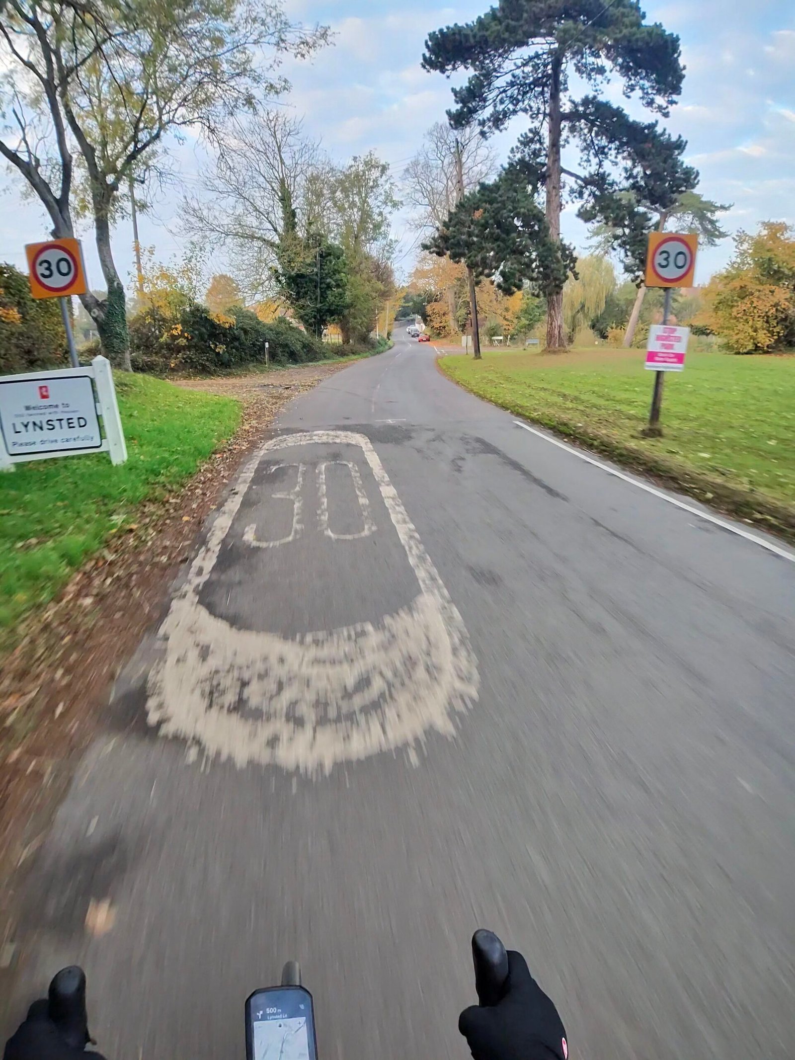
On Down Court Road a tractor was cutting the hedges, and opposite Down Court Farm a scarecrow stood with its arms out over a field of greens. Then it was down into Lynsted, up to Teynham station, with the twin kilns of The Oast House at Barrow Green beyond the line, where I turned off before the level crossing onto Lower Road and out past bare hop poles waiting for next year.
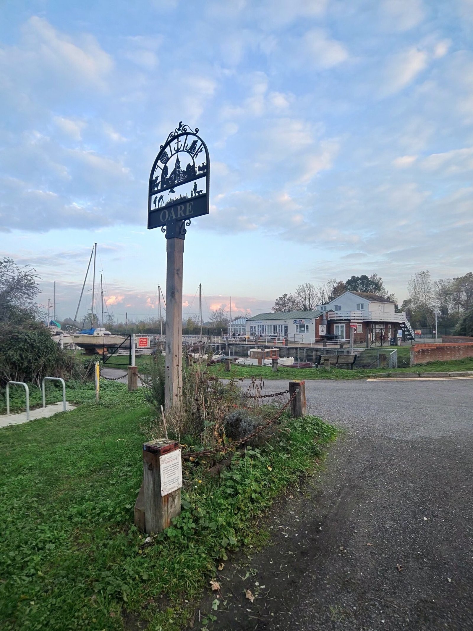
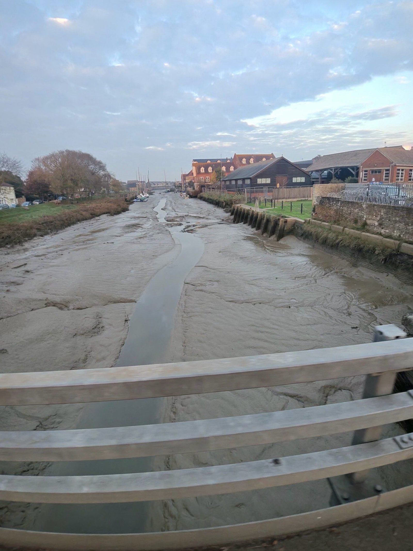
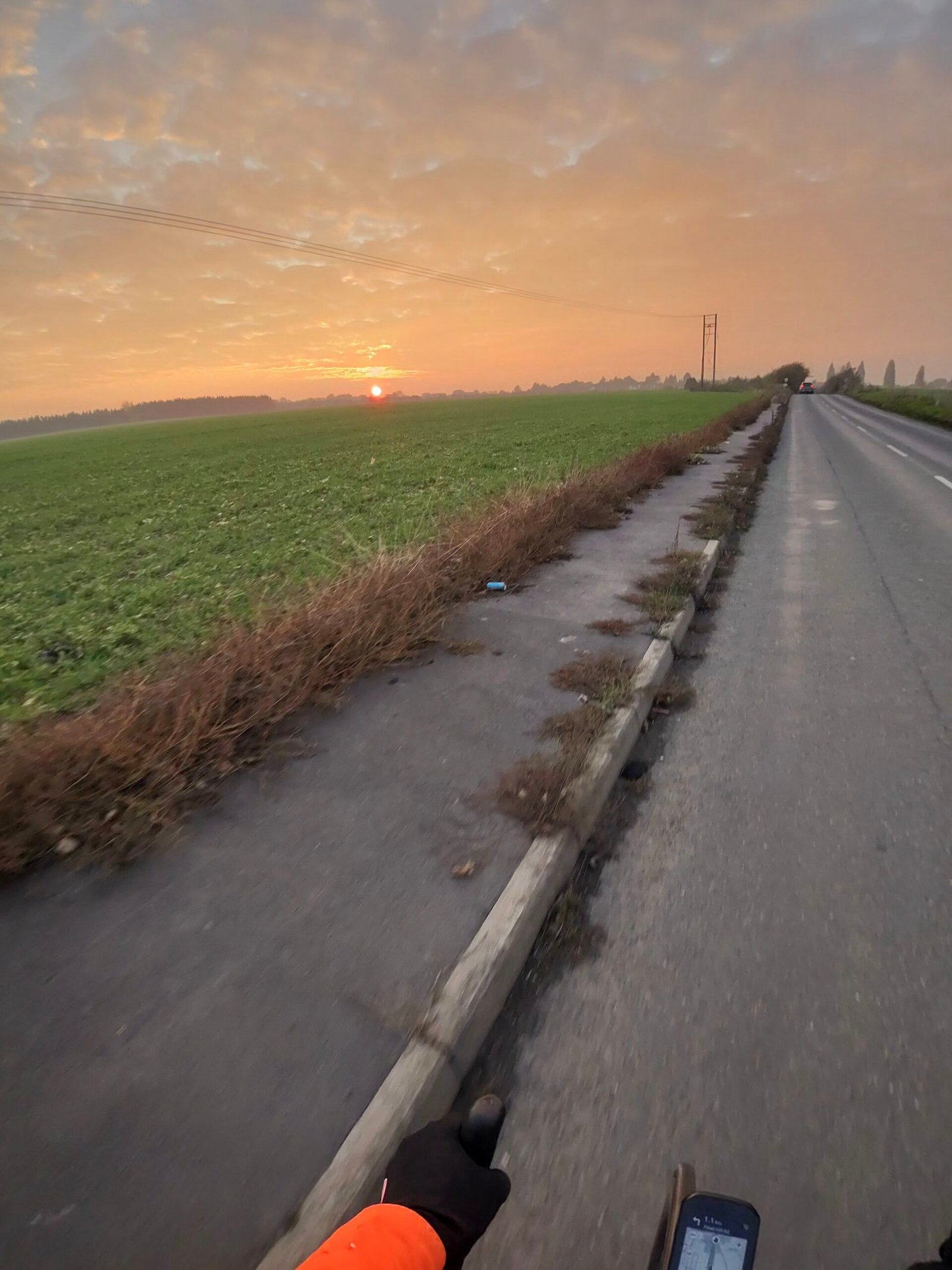
Beyond Oare, Faversham Creek was at low tide, a thin channel of water through the mud. On Graveney Road the sun went down over the fields in a blaze of orange, and the five oasts of Hobbits, Barons and Thornfield Oasts at Poplar Hall Farm, on Head Hill Road, caught the last of the light.
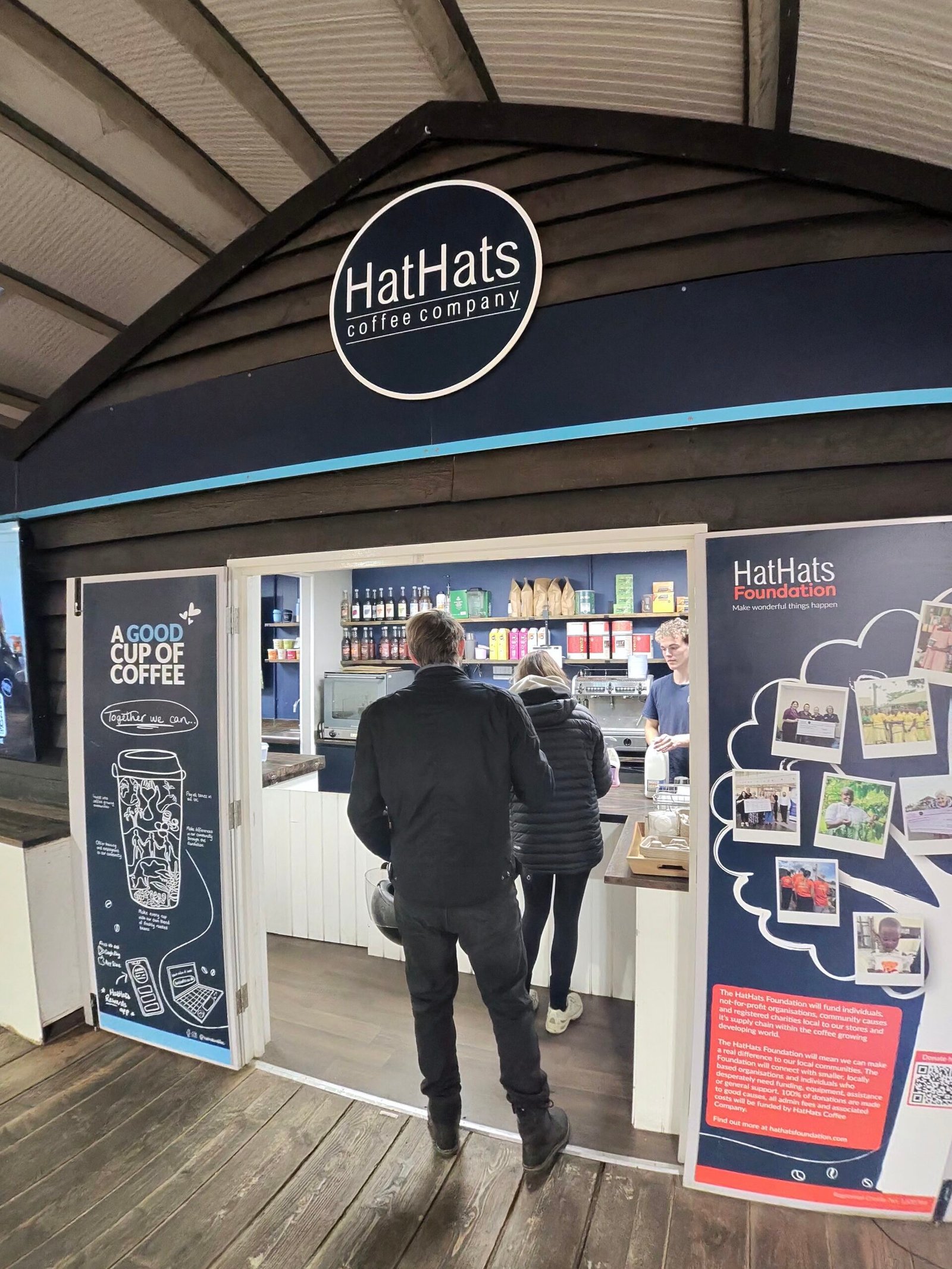
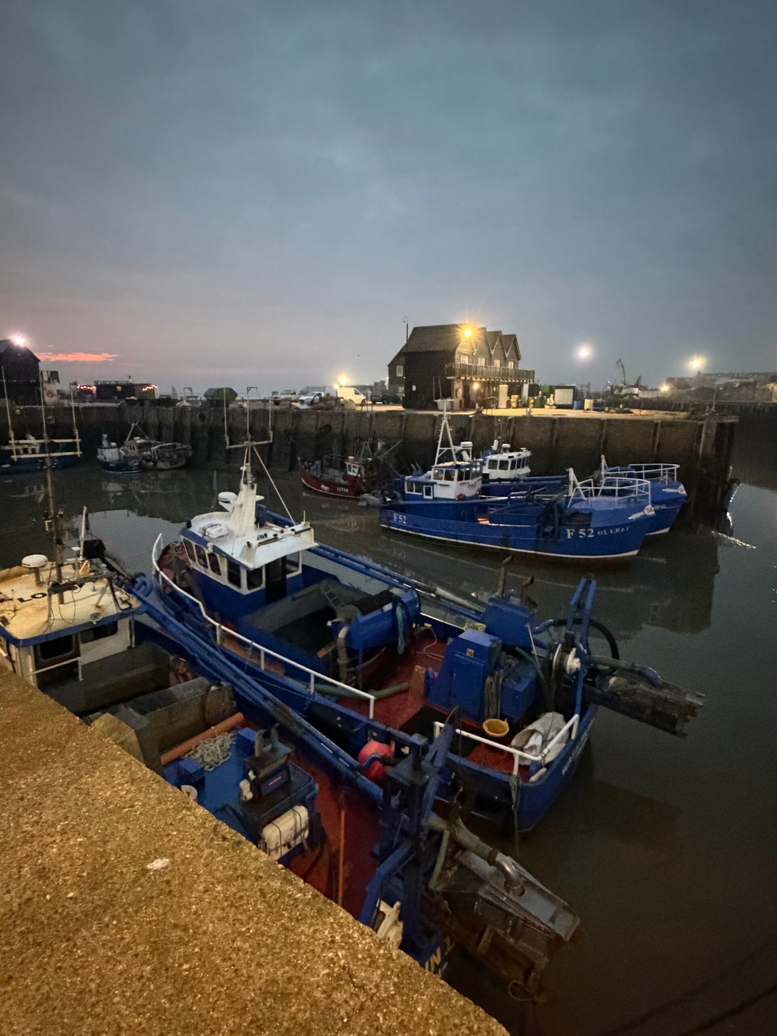
By the time I reached Whitstable the light was going. A second coffee came from HatHats on the harbour, and the fishing boats were tied up under the lamps when I left.
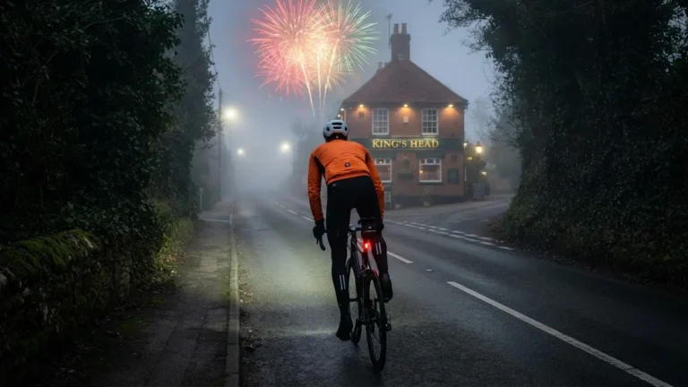
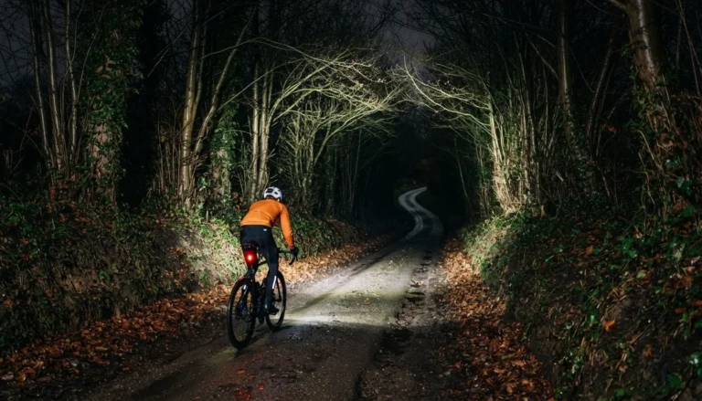
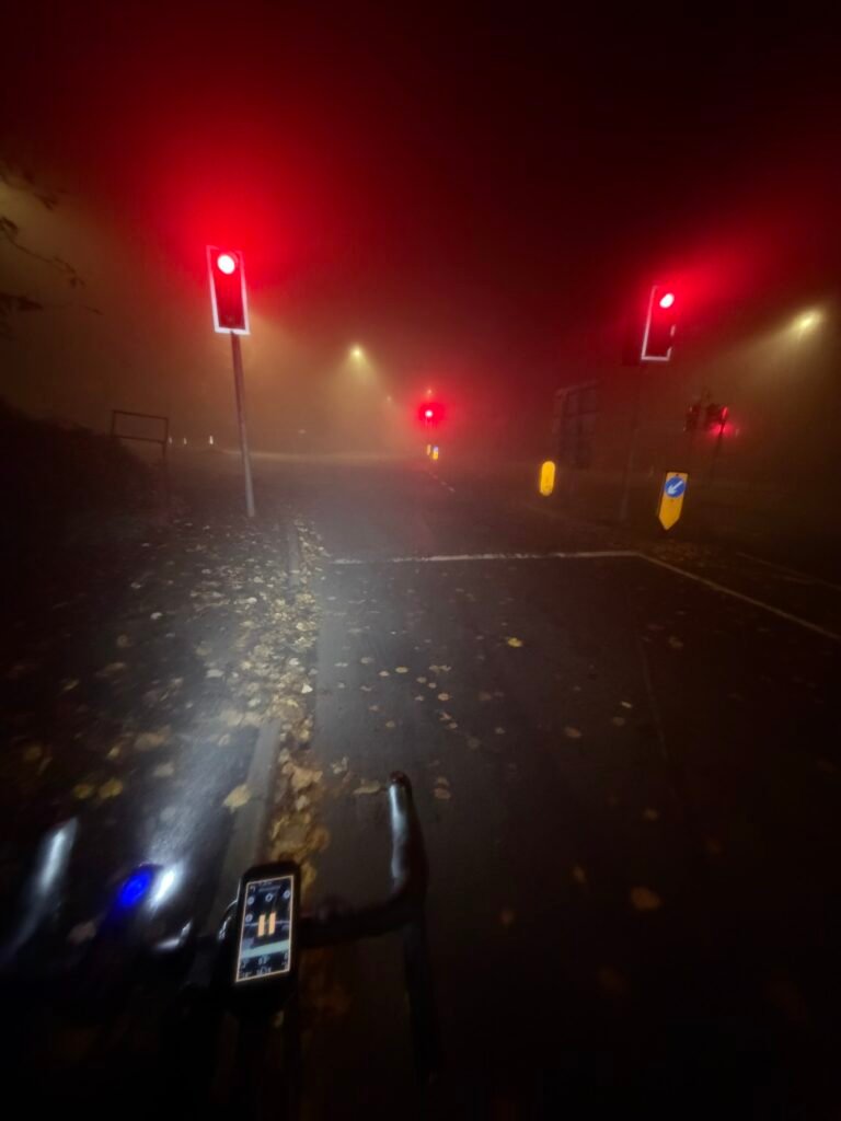
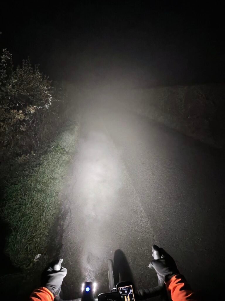
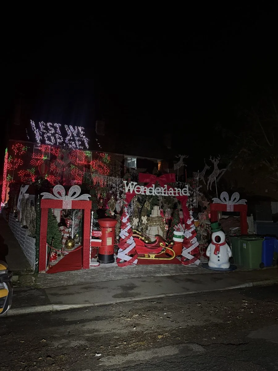
Then the fog came down. Through Dargate and Hernhill it was dark and very foggy, the headlight bouncing back off the mist, and it stayed that way over the hills by Chilham and Badlesmere. The Christmas lights have started going up for the annual competition, and one house in Boughton under Blean was already a wall of red lights, with Wonderland across the front. This time I climbed Kettle Hill, which I’d dropped down in the fog the night before.
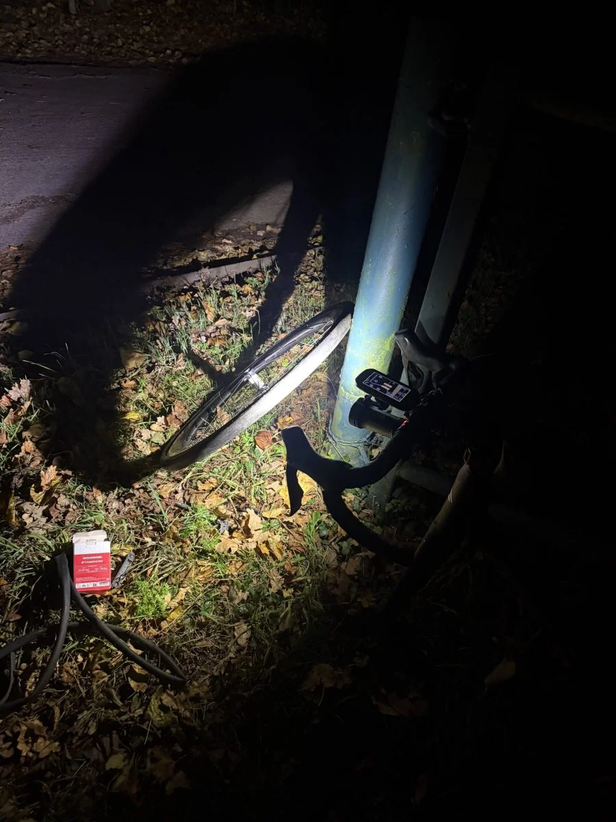
The last twist came at the top of Hollingbourne Hill, where the front tyre went flat. I fixed it by headlight on Ringlestone Road, then dropped down the hill and home through Leeds.
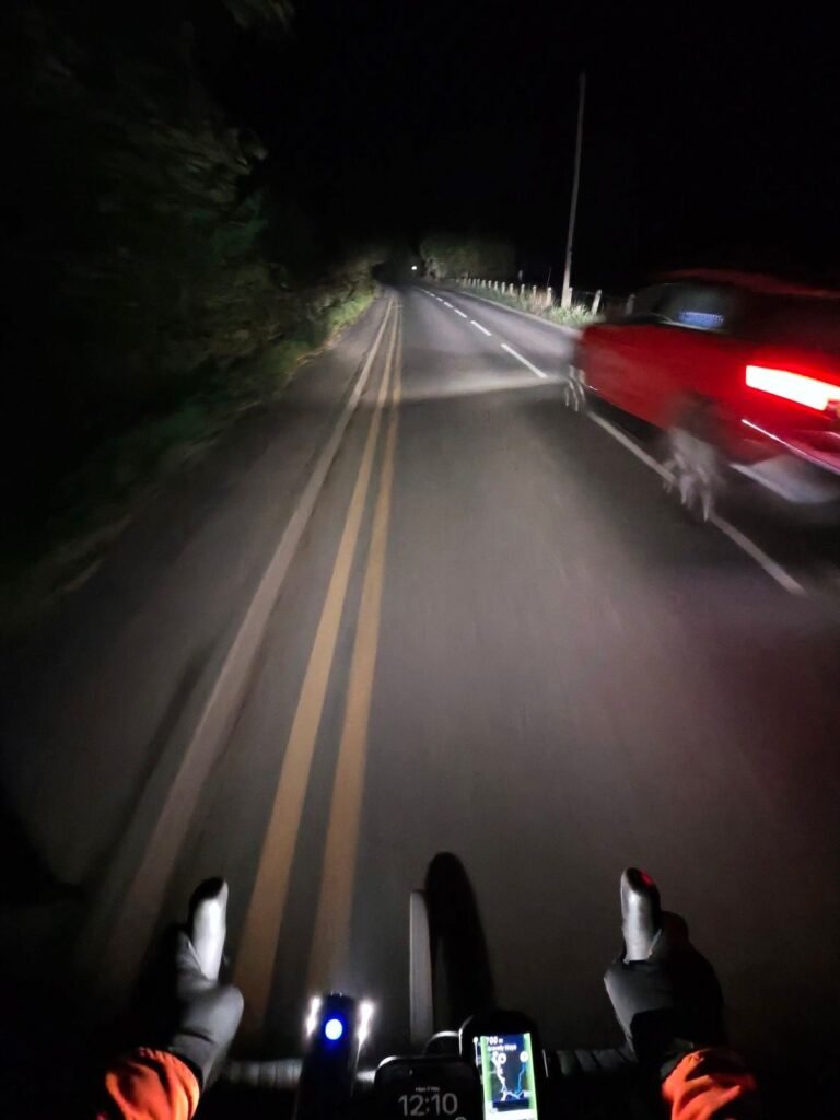
Only 121 vehicles passed me all afternoon and evening. Sunshine out, fog back and a flat in between: November showed me just about everything it has.
The numbers
- Ride: #1141 on Strava, ride 270 of 2026, day 150 of the streak
- Distance: 123.4 km
- Moving time: 5:35:55 (7:53:10 elapsed)
- Elevation: 1,496 m
- Average power: 128 W
- Heart rate: 119 bpm average, 164 max
- Cadence: 89 rpm average
- Calories: 3,028 kcal
- Highlight (Strava segment): Cold Blow Lane, Thurnham – 0.93 km, 94 m, 5:29 at 266 W
- Oasts: 12
- Conditions: sunshine, then dark and very foggy, 11°C, 91% humidity, a light WSW breeze
- Year to date: Distance 21,770 km, Elevation Gain 221,574 m
The route
● Favourite Garmin segment ● Shorter segment inside a longer one The numbers match the Segments table below. Hover over a segment for its time and rank; click or tap for a link to it on Garmin Connect.
Download the GPX (start and finish trimmed for privacy)
7 favourite Garmin segments. Best placed: Brishings Lane (S to N), 0.78 km at 1.4%, 8th of my 21 goes (from km 5). Time and power are from this ride; My rank places this ride among all my own goes at that segment. The numbers match the map, and each segment name links to Garmin Connect, where you can save it (you’ll need a Garmin account).
Segments table
| # | Segment | Starts at km | Length | Ascent | Avg grade | Time | Avg speed | Avg power | My rank | My best |
|---|---|---|---|---|---|---|---|---|---|---|
| 1 | Brishings Lane (S to N) | 5.5 | 0.78 km | 17 m | 1.4% | 1:55 | 24.4 km/h | 225 W | 8 of 21 | 1:38 |
| 2 | Coldblow Hill | 14.4 | 0.90 km | 92 m | 10.1% | 5:29 | 9.9 km/h | 271 W | 5 of 6 | 4:19 |
| 3 | seaalter | 50.9 | 6.03 km | 24 m | -0.2% | 14:19 | 25.3 km/h | 228 W | 8 of 8 | 9:59 |
| 4 | Faversham to Whitstable | 51.0 | 7.03 km | 31 m | -0.2% | 16:52 | 25.0 km/h | 223 W | 7 of 7 | 11:44 |
| 5 | Lade Wood Hill Climb | 97.5 | 1.39 km | 59 m | 4.4% | 5:29 | 15.2 km/h | 232 W | 4 of 6 | 4:41 |
| 6 | Plough Wents 2 Linton | 113.8 | 5.19 km | 24 m | 0.1% | 12:56 | 24.1 km/h | 207 W | 6 of 7 | 9:27 |
| 7 | Cock to lights | 117.2 | 1.86 km | 10 m | 0.6% | 4:54 | 22.7 km/h | 199 W | 172 of 217 | 3:06 |
The profile and climbs
12 climbs: 1 Cat 4, 11 uncategorised. Biggest: 1.3 km at 7.9%, 102 m of climbing (Cat 4, from km 14). Together the climbs account for 524 m of the ride’s ascent. Garmin and Strava measure climbs and segments over their own start and finish points, so the figures here can differ from the Highlight above and from each other.
Cat 4 Uncategorised Pins mark where each Garmin ClimbPro climb starts. Hover or tap a pin for details.
Climbs table
| # | Climb | Category | Starts at km | Length | Ascent | Avg grade | Time | Avg speed | Avg power | My rank | My best |
|---|---|---|---|---|---|---|---|---|---|---|---|
| 1 | Ashford Road, Otham | Uncategorised | 9.8 | 1.36 km | 48 m | 3.5% | 4:30 | 18.1 km/h | 205 W | 1 of 6 | 4:30 |
| 2 | Coldblow Lane, Thurnham | Cat 4 | 13.9 | 1.28 km | 102 m | 7.9% | 6:38 | 11.6 km/h | 256 W | 5 of 6 | 5:34 |
| 3 | Dargate Road, Yorkletts | Uncategorised | 66.8 | 0.53 km | 10 m | 1.9% | 1:41 | 18.7 km/h | 136 W | 2 of 8 | 1:33 |
| 4 | Hickmans Green | Uncategorised | 74.4 | 0.75 km | 30 m | 4.0% | 2:46 | 16.2 km/h | 206 W | 6 of 6 | 2:24 |
| 5 | Soleshill Road, Chilham | Uncategorised | 79.6 | 1.33 km | 61 m | 4.6% | 5:18 | 15.1 km/h | 221 W | 5 of 6 | 4:41 |
| 6 | Dayton Road, Badlesmere | Uncategorised | 85.1 | 0.51 km | 23 m | 4.5% | 1:53 | 16.2 km/h | 231 W | 3 of 7 | 1:42 |
| 7 | Bagshill Road, Sheldwich | Uncategorised | 88.3 | 1.00 km | 40 m | 4.0% | 3:54 | 15.4 km/h | 191 W | 5 of 6 | 3:41 |
| 8 | Kettle Hill Road | Uncategorised | 90.0 | 1.45 km | 49 m | 3.4% | 5:15 | 16.6 km/h | 177 W | 3 of 8 | 4:36 |
| 9 | Lade Wood Hill, Doddington | Uncategorised | 97.4 | 1.56 km | 62 m | 4.0% | 6:06 | 15.3 km/h | 195 W | 4 of 6 | 5:19 |
| 10 | Ringlestone Road, Wormshill | Uncategorised | 102.2 | 0.67 km | 28 m | 4.1% | 2:29 | 16.3 km/h | 206 W | 6 of 7 | 2:05 |
| 11 | Penfold Hill, Leeds | Uncategorised | 109.7 | 0.61 km | 28 m | 4.7% | 2:08 | 17.0 km/h | 238 W | 3 of 7 | 1:58 |
| 12 | Upper Street, Leeds | Uncategorised | 110.9 | 1.26 km | 43 m | 3.4% | 4:05 | 18.6 km/h | 213 W | 6 of 7 | 3:28 |
My rank places this ride among my outdoor rides over the same climb on Garmin up to that day, matched by GPS, and My best is the fastest of them at the time. Time and speed include any stop on the climb.
Related
Related rides
- The Long Way Home: another day by the Kent coast, at the end of 353 km from Portsmouth
- Clear Lenses, Flat Tyre: an earlier puncture fixed in the dark
Every town, café, beach and landmark from my rides is collected on the Links page.
Earlier posts
-
Through the Fog to the King’s Head
7 November 2026
A foggy Saturday loop in Kent: up Hubbards Hill onto the North Downs to Throwley, down to Charing’s floodlit church, and home up Headcorn Road to the King’s Head in Sutton Valence.
-
Through the Fog to Rye
6 November 2026
A foggy Friday-evening ride from Kent to Rye in East Sussex and back, out through Frittenden and Tenterden and home beside the Royal Military Canal to Appledore.
-
Back to Bethersden on Two Good Tyres
5 November 2026
A cold, still night ride across the Weald in Kent to Bethersden and back through Smarden, with just four vehicles on the road and no repeat of last month’s flat tyre on Hunton Hill.
-
Down Linton, Up Hunton
4 November 2026
Last night’s loop in reverse: down Linton Hill in Kent, across the Weald through Marden and Collier Street, and home up steep Hunton Hill, 11 minutes quicker with just two vehicles on the road.
-
Truck Fly-Bys on Linton Hill
3 November 2026
A cloudy, easy night loop through Chainhurst, Collier Street and Marden in Kent, then back up Linton Hill for the first time in nearly six months, with truck fly-bys on the A229.
-
Over the Weald to Brenchley
2 November 2026
A clear, cold night loop in Kent under a half moon: across the Weald to Brenchley, a pause at The Bell in Golden Green, then home through Hadlow and Mereworth and up from Teston, with just five vehicles on the road.
-
K-EDGE Max XL Combo Mount: Garmin Over the Light
2 November 2026
Why I moved to the K-EDGE Garmin Max XL Combo Mount: machined aluminium strong enough to carry my Exposure light underneath, with room on top for the big Garmin Edge 1050.
-
Switching Directions
1 November 2026
A midnight streak-keeper run the other way round: down Hunton Hill to Yalding, out to Laddingford and Nettlestead, then a new PB up Bow Hill and home over Yalding Hill, with just seven vehicles on the road.
-
Midnight Traffic in the Fog
31 October 2026
A foggy Halloween-midnight streak-keeper down Hunton Hill to Chainhurst and Marden and back up Church Hill, with no heart-rate monitor, Yello on the playlist and just three vehicles on the road.
-
Half Moon over Hunton Hill
30 October 2026
A midnight streak-keeper from Yalding out to Nettlestead and Laddingford and home over Hunton Hill, with Nickelback on the playlist, a half moon overhead and just 10 vehicles on the road.
-
Warm Mist on Wierton Hill
29 October 2026
A midnight Zone 2 loop down into the fog around Headcorn and Smarden and back via Babylon Lane, with a near-best effort up Wierton Hill into strangely warm, misty air.