On Monday night I rolled out for ride 264 of the year and day 144 of the streak. After the fog and cloud of the past few nights the sky had cleared, and a gorgeous half moon hung over the lanes. It was 8.5°C, with a steady northerly taking it down to a feels-like 5°C. Last night’s loop had been a short 26 km; tonight’s would run to nearly twice that.
The first two kilometres did the work for me, a drop of more than 80 m off the ridge towards Hunton. Then came the flat, quiet stretch past Chainhurst, Collier Street and Claygate, with the cadence up and the heart rate settled. My favourite Garmin segments showed how much quicker this was than two nights earlier in the fog: half a minute off both Green Lane, at 4:27, and the run from Collier Street School to Sheephurst, at 3:28.
South of Claygate the lanes finally tilted up, and from Yew Tree Green I was climbing towards Brenchley. It’s a long way up rather than a steep one: Garmin only rated a kilometre of it, but by the village I was nearly 90 m higher than I’d been four kilometres earlier. Garmin’s Castle Hill segment gave me 8:38 at 211 W, ninth of my 16 goes and my best placing of the night. Beyond it the road rolled round the edge of Matfield before a long, quick drop towards Capel and the lower ground around Tudeley.
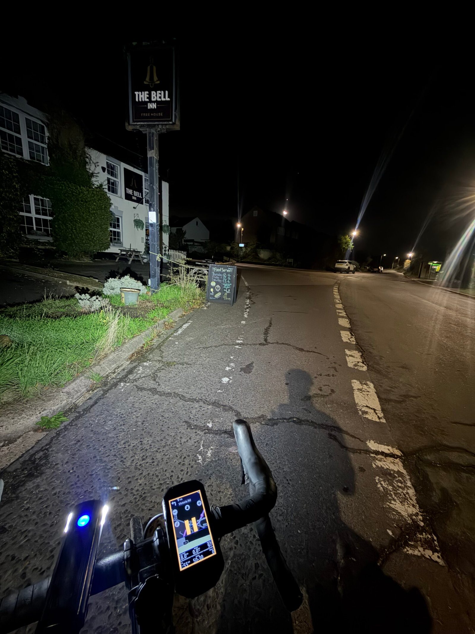
Hartlake Road carried me north, dead flat and into the wind. With a short halt along the way, its 8:24 was the slowest of my 15 goes on the segment. I pulled up at Golden Green to photograph The Bell, the old listed pub there, its sign standing out against the dark and my shadow stretching up the cracked road ahead. It got little more than a minute.
Next came a short loop through Hadlow, then Garmin’s second climb of the night up towards Mereworth. From there the road eased down to Wateringbury, and my heart rate dropped to around 100.
At Teston the road fell almost to river level, which left the night’s one categorised climb for last: 2.1 km up to the ridge at 4.7%. The hard part was Ewell Lane, a kilometre in a little over four minutes at 253 W. Garmin’s longer Teston Bridge Hill segment came in at 11:03, 39 seconds quicker than my last go in September. After that the last few kilometres rose gently towards home. In two hours just 5 vehicles passed me – a quiet night out, with that moon for company.
The numbers
- Ride: #1135 on Strava, ride 264 of 2026, day 144 of the streak
- Distance: 45.8 km
- Moving time: 1:59:53 (2:04:51 elapsed)
- Elevation: 444 m
- Average power: 134 W
- Heart rate: 119 bpm average, 153 max
- Cadence: 91 rpm average
- Calories: 1,132 kcal
- Highlight: Ewell Lane Climb – 1.01 km, 61 m, 4:13 at 253 W
- Conditions: dark and clear, half moon, 8.5°C (feels like 5°C), 90% humidity, a steady northerly
- Year to date: Distance 21,348 km, Elevation Gain 217,720 m
The route
● Favourite Garmin segment ● Shorter segment inside a longer one The numbers match the Segments table below. Hover over a segment for its time and rank; click or tap for a link to it on Garmin Connect.
Download the GPX (start and finish trimmed for privacy)
The profile and climbs
3 climbs: 1 Cat 4, 2 uncategorised. Biggest: 2.1 km at 4.7%, 101 m of climbing (Cat 4, from km 40). Together the climbs account for 160 m of the ride’s ascent.
● Cat 4 ● Uncategorised Pins mark where each Garmin ClimbPro climb starts. Hover or tap a pin for details.
Climbs table
| # | Starts at km | Length | Ascent | Avg grade | Time | Avg power | Category |
|---|---|---|---|---|---|---|---|
| 1 | 14.9 | 0.98 km | 30 m | 3.0% | 3:07 | 220 W | Uncategorised |
| 2 | 32.8 | 0.99 km | 29 m | 2.9% | 3:13 | 221 W | Uncategorised |
| 3 | 40.2 | 2.13 km | 101 m | 4.7% | 8:06 | 225 W | Cat 4 |
10 favourite Garmin segments. Best placed: Castle Hill Brenchley, 2.67 km at 2.7%, 9th of my 16 goes (from km 13). Time and power are from this ride; My rank places this ride among all my own goes at that segment. The numbers match the map, and each segment name links to Garmin Connect, where you can save it (you’ll need a Garmin account).
Segments table
| # | Segment | Starts at km | Length | Ascent | Avg grade | Time | Avg speed | Avg power | My rank | My best |
|---|---|---|---|---|---|---|---|---|---|---|
| 1 | Hunton Hill Down | 0.9 | 0.79 km | 0 m | -8.0% | 1:02 | 46.3 km/h | 46 W | 27 of 38 | 0:47 |
| 2 | Chainhurst Hill | 3.9 | 0.51 km | 9 m | 1.6% | 1:24 | 21.9 km/h | 210 W | 26 of 40 | 0:52 |
| 3 | Green Lane | 6.7 | 1.90 km | 4 m | 0.0% | 4:27 | 25.7 km/h | 192 W | 16 of 21 | 3:07 |
| 4 | Green Lane Sprint West to Longend Lane | 6.7 | 0.77 km | 2 m | -0.2% | 1:47 | 25.9 km/h | 168 W | 16 of 21 | 1:11 |
| 5 | Collier St School to Sheephurst | 8.7 | 1.51 km | 3 m | -0.1% | 3:28 | 26.2 km/h | 221 W | 20 of 30 | 2:34 |
| 6 | Castle Hill Brenchley | 12.9 | 2.67 km | 72 m | 2.7% | 8:38 | 18.6 km/h | 211 W | 9 of 16 | 7:22 |
| 7 | Hartlake Road North | 24.4 | 3.26 km | 2 m | -0.6% | 8:24 | 23.3 km/h | 183 W | 15 of 15 | 5:59 |
| 8 | Mereworth – Wateringbury dash | 35.6 | 2.85 km | 2 m | -0.8% | 6:53 | 24.8 km/h | 178 W | 20 of 23 | 4:52 |
| 9 | Teston Bridge Hill | 40.3 | 3.07 km | 114 m | 3.5% | 11:03 | 16.6 km/h | 236 W | 17 of 28 | 9:08 |
| 10 | Teston Hill | 40.3 | 0.49 km | 30 m | 5.7% | 1:57 | 15.1 km/h | 232 W | 23 of 28 | 1:15 |
Every town, café, beach and landmark from my rides is collected on the Links page.