Nine Days in the Algarve
Nine days, nine rides, all from the same base in Silves. Between 6 and 14 September I rode every day of the trip, days 87 to 95 of my streak, and by the end Strava’s totals read 1,545.6 km, 18,983 m of climbing and just over three days and 21 hours out on the road, stops included. The day posts tell each ride’s story; this one puts them all on one map, to see how much of the Algarve I actually covered.
Where I rode
The darker line is the Algarve’s boundary. Each ride’s first and last 800 m are trimmed for privacy. Boundaries: CAOP, Direção-Geral do Território.
The first day pointed west, to the lighthouse at Cabo de São Vicente, where mainland Europe runs out. The second went back to the Atlantic over the Monchique foothills, through cork oaks, turbines and cobbles, and the third was a so-called rest day that found the climb to Alto da Picota and a bike café in Alte. Day four was the long haul east: 256 km along the coast to the Spanish border at Vila Real de Santo António, and home through the empty hills above Castro Marim.
Day five took in Silves Castle, the climbs to Alferce and the beach at Carvoeiro. Day six was the biggest of the lot: 263 km and 43 climbs over Monchique to Aljezur and back, the day the year ticked past 17,000 km. After a beach spin to Alvor on day seven, day eight went over Fóia, at 902 m the highest point in the Algarve and the trip’s only HC climb, and north into the Alentejo through Ourique and Castro Verde. Day nine finished things off with five beaches in a day, from Quarteira to Carvoeiro.
Laid on one map, the routes cover more of the Algarve than I’d realised. I rode through 15 of its 16 municipalities; only Alcoutim, tucked away in the north-east corner along the Guadiana, escaped. Nearly three-quarters of the region lies within 5 km of a road I rode, and half of it within 2 km. Silves saw the most of me, about 374 km, with Monchique next on about 210 km. Around 173 km were outside the Algarve altogether, in the Alentejo: a stretch through Odemira on day six, and more than half of the Fóia day.
Garmin’s ClimbPro counted 188 climbs over the nine days, with one HC, one Cat 2, seven Cat 3s and 24 Cat 4s among them, and by its reckoning I sweated out around 45 litres getting over them. The jerseys added their own commentary: the Maglia Azzurra at the lighthouse and the Faro sign, the Maglia Ciclamino in Portimão and the Maglia Rosa on top of Fóia. Nine days, not one of them a real rest day, and a fair slice of the Algarve seen from the saddle.
One photo from each day
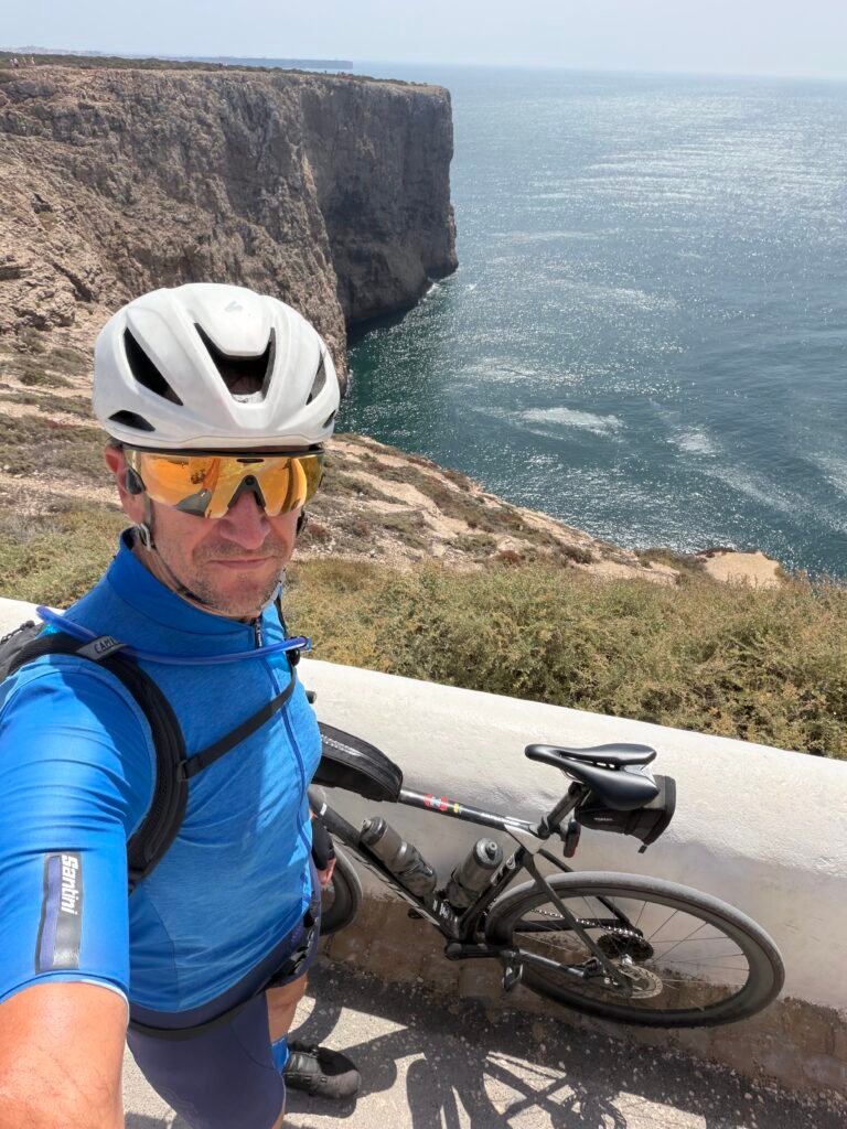
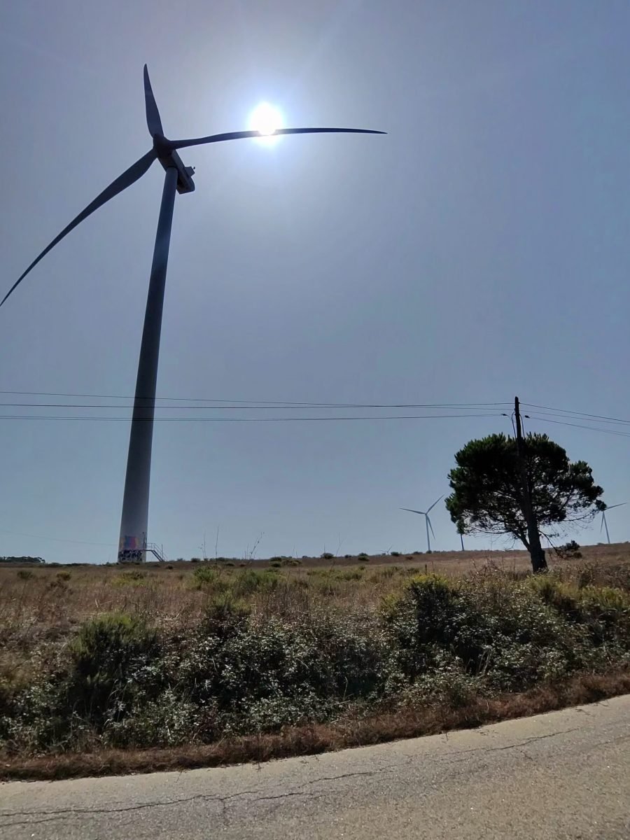
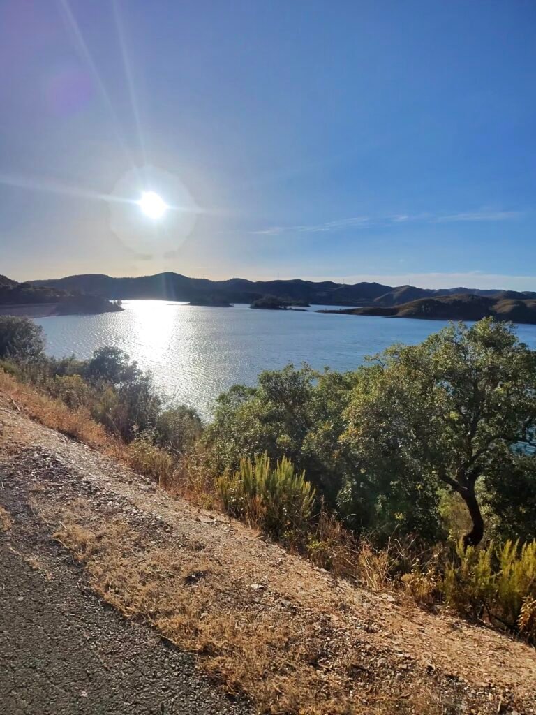


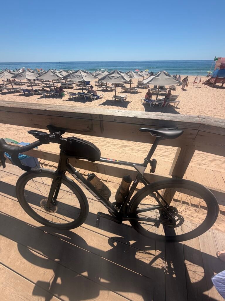

Day by day
| Day | Date | Ride | Distance | Climbing | Garmin climbs |
|---|---|---|---|---|---|
| 1 | 6 Sep | To the Edge of Europe | 164.7 km | 1,758 m | 18 |
| 2 | 7 Sep | Cork Trees, Turbines and Cobbles | 214.8 km | 2,392 m | 27 (2 Cat 3) |
| 3 | 8 Sep | A Rest Day in the Hills | 117.6 km | 1,541 m | 20 (3 Cat 4) |
| 4 | 9 Sep | To the Spanish Border and Back | 255.8 km | 2,625 m | 25 (7 Cat 4) |
| 5 | 10 Sep | Castle, Climbs and Carvoeiro | 121.3 km | 1,857 m | 20 (2 Cat 3, 4 Cat 4) |
| 6 | 11 Sep | Forty-Three Climbs | 263.1 km | 3,952 m | 43 (1 Cat 2, 2 Cat 3, 6 Cat 4) |
| 7 | 12 Sep | A Rest-Day Spin to Alvor | 72.8 km | 640 m | 10 |
| 8 | 13 Sep | Over Fóia to the Alentejo | 224.5 km | 3,106 m | 17 (1 HC, 1 Cat 3, 2 Cat 4) |
| 9 | 14 Sep | Five Beaches in a Day | 111.1 km | 1,112 m | 8 (2 Cat 4) |
| Total | 9 rides | 1,545.6 km | 18,983 m | 188 |
The numbers
- Rides: 9 in 9 days, #1078 to #1086 on Strava, days 87 to 95 of the streak
- Distance: 1,545.6 km (about 1,373 km in the Algarve and 173 km in the Alentejo)
- Moving time: 69:45:51 (3 d 21 h 04 m elapsed)
- Elevation: 18,983 m
- Climbs: 188 Garmin ClimbPro climbs: 1 HC, 1 Cat 2, 7 Cat 3, 24 Cat 4, 155 uncategorised
- Biggest climb: Subida da Fóia (EN266), HC – 16.28 km, 770 m, 1:09:28 at 235 W (day 8)
- Longest day: 263.1 km and 3,952 m (day 6)
- Calories: 37,870 kcal
- Coverage: 15 of the Algarve’s 16 municipalities; about 73% of the region within 5 km of my route
- Year to date: Distance 17,602 km, Elevation Gain 185,974 m
Five Beaches in a Day
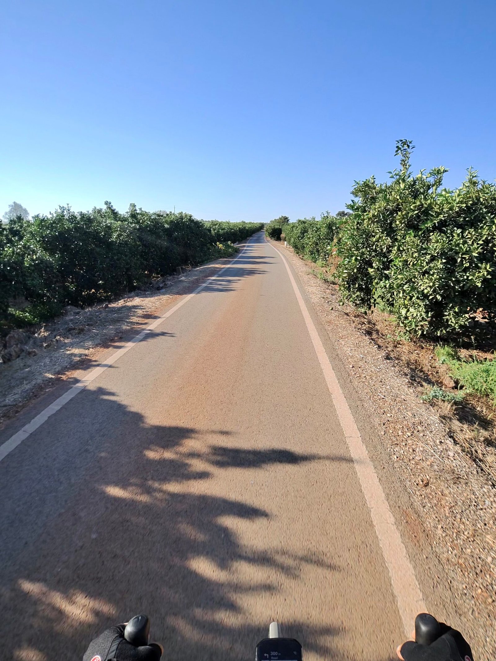
Day nine in the Algarve and the last ride of the trip, the morning after the long day over Fóia to the Alentejo, so this one was the last roll of the dice. The plan was a coast day with as many beaches as I could fit in. It was clear and almost still when I rolled out of Silves just before nine, about 20°C with barely a breath of wind from the north-east.
The first climb came straight away, a Cat 4 drag out of Silves inside the first five kilometres, and then the roads flattened out through the orchards towards Algoz. From there it was easy miles through Tunes and Ferreiras and on through the golf courses of Vilamoura, spinning along in Zone 2 with the sun climbing behind me.
Beach number one was Quarteira, the turning point at 40 km, where I spent twenty minutes on the seafront before heading back west, past a giant woven sculpture on one of the town’s many roundabouts.

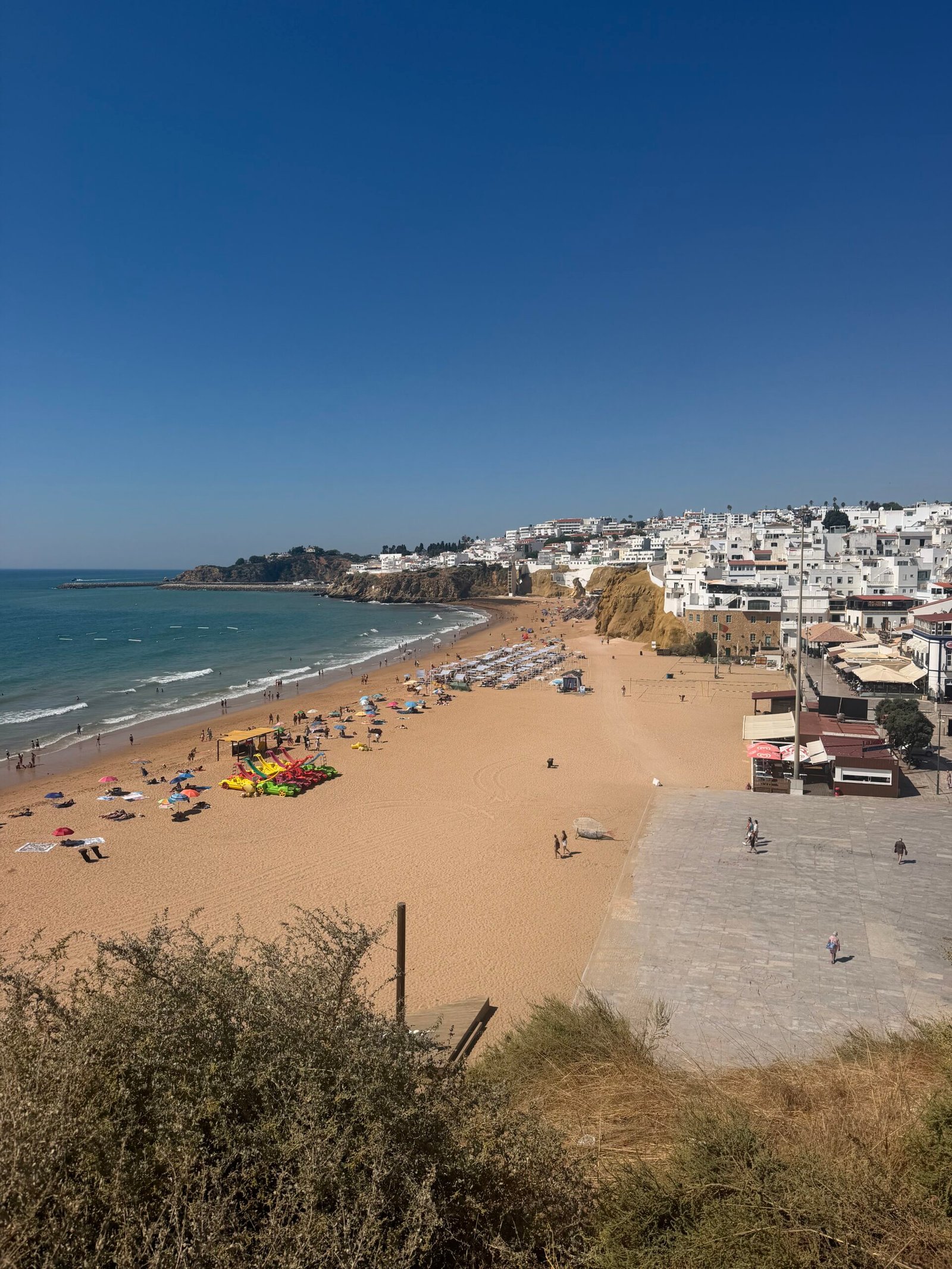
Beach number two was Praia dos Pescadores in Albufeira. I paused on the clifftop to look down over the sand, already filling up by midday, and then took on the longest climb of the day, 2.4 km at 4.6% up and out of town, a Cat 4 by Garmin’s reckoning.
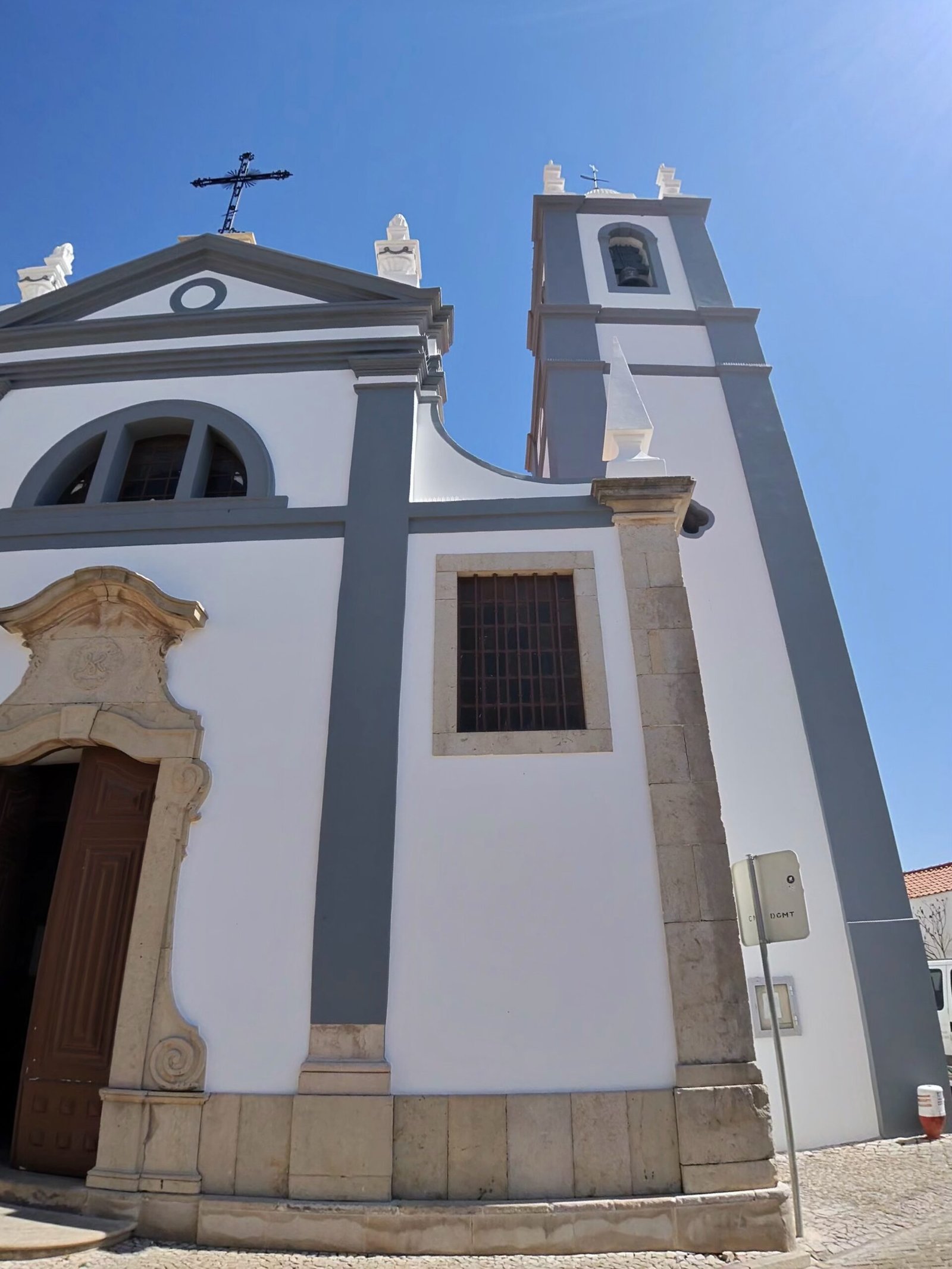
Inland again, I stopped for a few minutes in Alcantarilha by its white-and-grey church, then dropped back to the coast through Armação de Pêra, beach number three, before the steady rise up towards Porches.
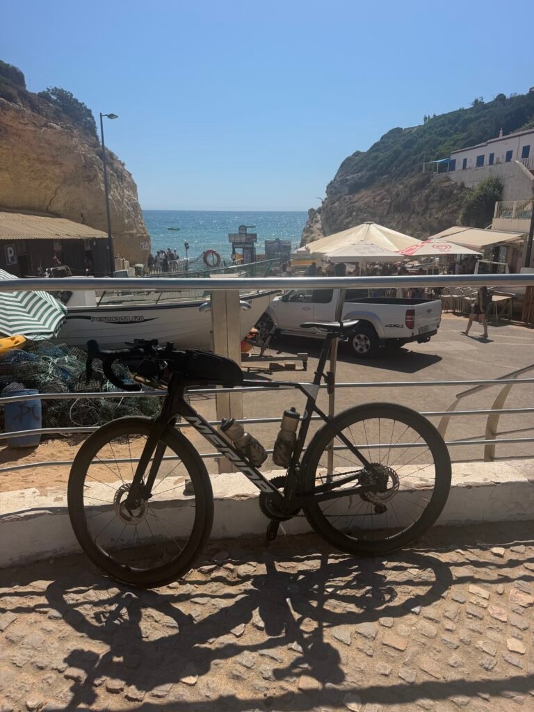
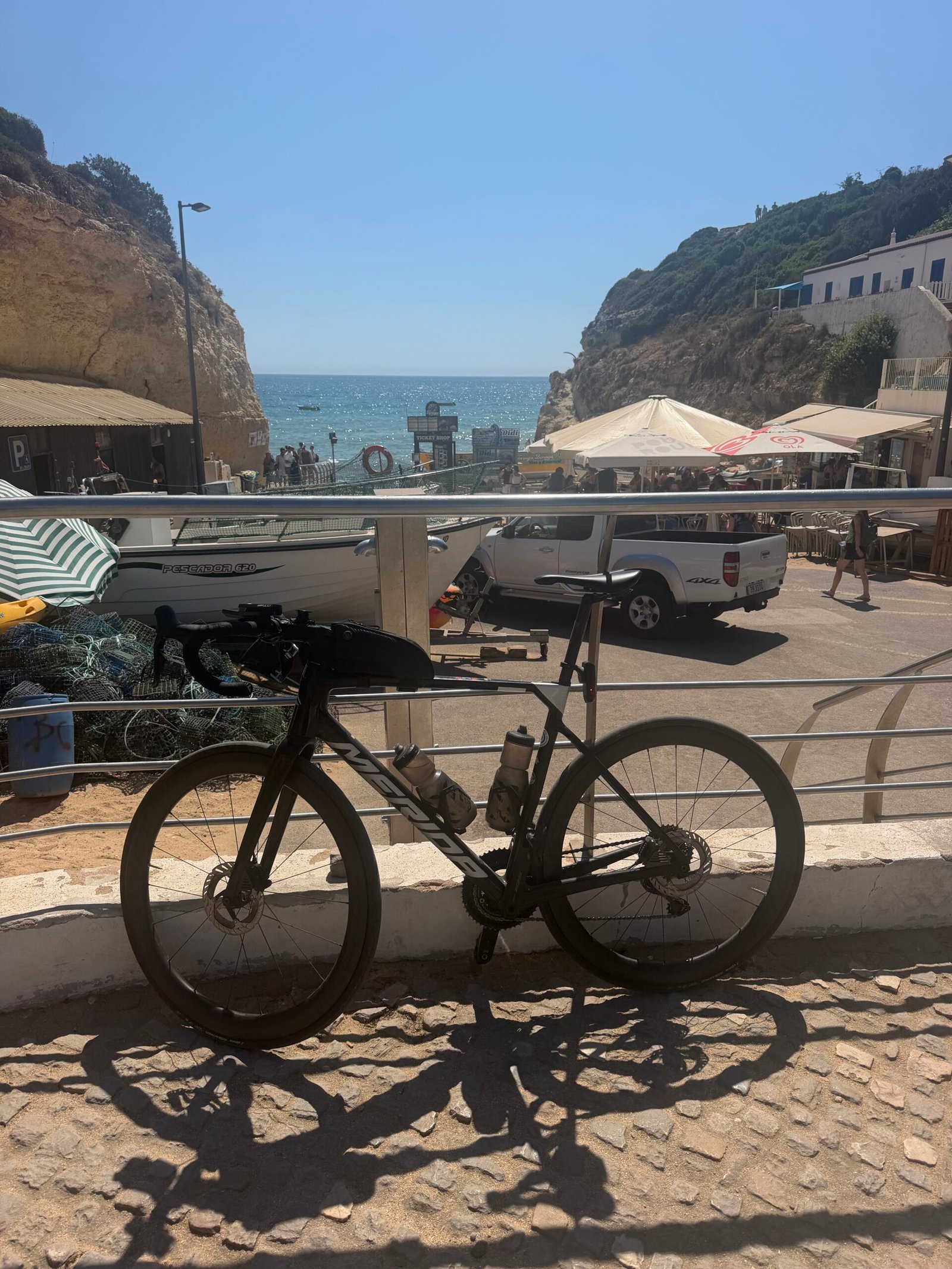
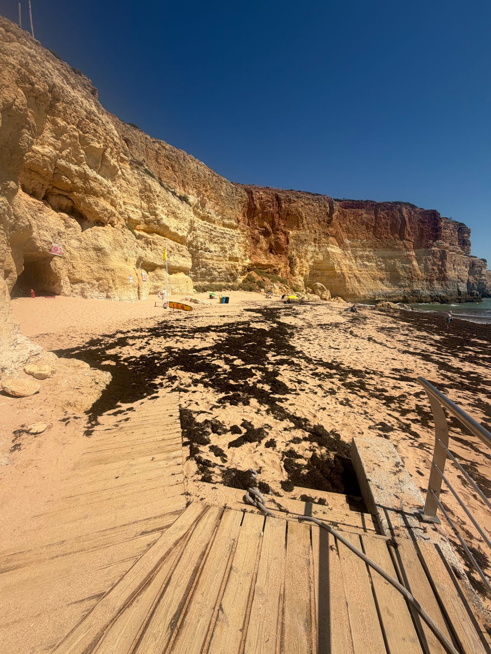
Benagil, beach number four, was the highlight. I leaned the bike on the railing above the beach, among the café umbrellas, and took in the golden cliffs and the wooden steps down to the sand. Then came the price of admission: the climb back out of Benagil, with a short ramp near the bottom that had me pushing well over 300 W just to keep turning the pedals.
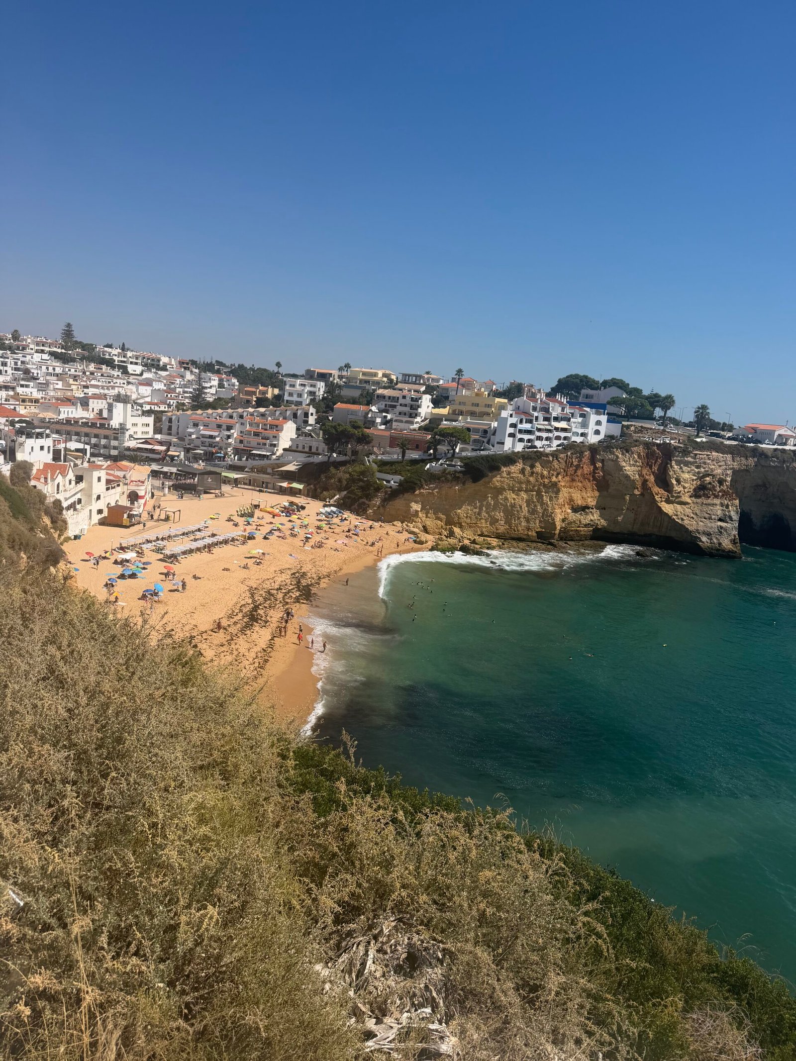
Carvoeiro made five, with one last look down over the beach and the white town from the cliffs, and then it was the familiar run home through Lagoa and over the final rise into Silves. Garmin reckoned I’d sweated out just over 3 litres, a fair price for five beaches in a day and a good way to see out the trip.
The numbers
- Ride: #1086 on Strava, ride 215 of 2026, day 95 of the streak
- Distance: 111.1 km
- Moving time: 4:39:34 (5:45:40 elapsed)
- Elevation: 1,112 m
- Average power: 131 W
- Heart rate: 109 bpm average, 154 max
- Cadence: 87 rpm average
- Calories: 2,568 kcal
- Highlight: Benagil climb – 1.61 km, 69 m, 5:41 at 224 W
- Conditions: clear and sunny, 20.5°C, 65% humidity, a light NNE breeze
- Year to date: Distance 17,602 km, Elevation Gain 185,974 m
The route
Download the GPX (start and finish trimmed for privacy)
The profile and climbs
8 climbs: 2 Cat 4, 6 uncategorised. Biggest: 2.4 km at 4.6%, 109 m of climbing (Cat 4, from km 61). Together the climbs account for 462 m of the ride’s ascent.
Cat 4 Uncategorised Pins mark where each Garmin ClimbPro climb starts. Hover or tap a pin for details.
Climbs table
| # | Starts at km | Length | Ascent | Avg grade | Time | Avg power | Category |
|---|---|---|---|---|---|---|---|
| 1 | 2.9 | 1.93 km | 86 m | 4.5% | 7:45 | 219 W | Cat 4 |
| 2 | 60.8 | 2.40 km | 109 m | 4.6% | 17:19 | 179 W | Cat 4 |
| 3 | 71.9 | 0.63 km | 23 m | 3.7% | 4:48 | 166 W | Uncategorised |
| 4 | 77.5 | 1.73 km | 59 m | 3.4% | 13:45 | 206 W | Uncategorised |
| 5 | 81.8 | 1.20 km | 38 m | 3.1% | 4:01 | 210 W | Uncategorised |
| 6 | 86.3 | 0.69 km | 45 m | 6.6% | 3:12 | 256 W | Uncategorised |
| 7 | 91.6 | 1.92 km | 62 m | 3.3% | 12:40 | 175 W | Uncategorised |
| 8 | 109.8 | 1.20 km | 40 m | 3.4% | 4:04 | 205 W | Uncategorised |
Over Fóia to the Alentejo
Day eight of the Algarve trip was the big one. I rolled out of Silves at half past seven on a clear, still Sunday morning with a plan to go up and over Fóia, the highest point in the Algarve, drop off the far side into the Alentejo, and come home the long way round through Ourique and Castro Verde. It was already 19°C as I set off, with barely a breath of north-easterly wind, and the climbing came first.
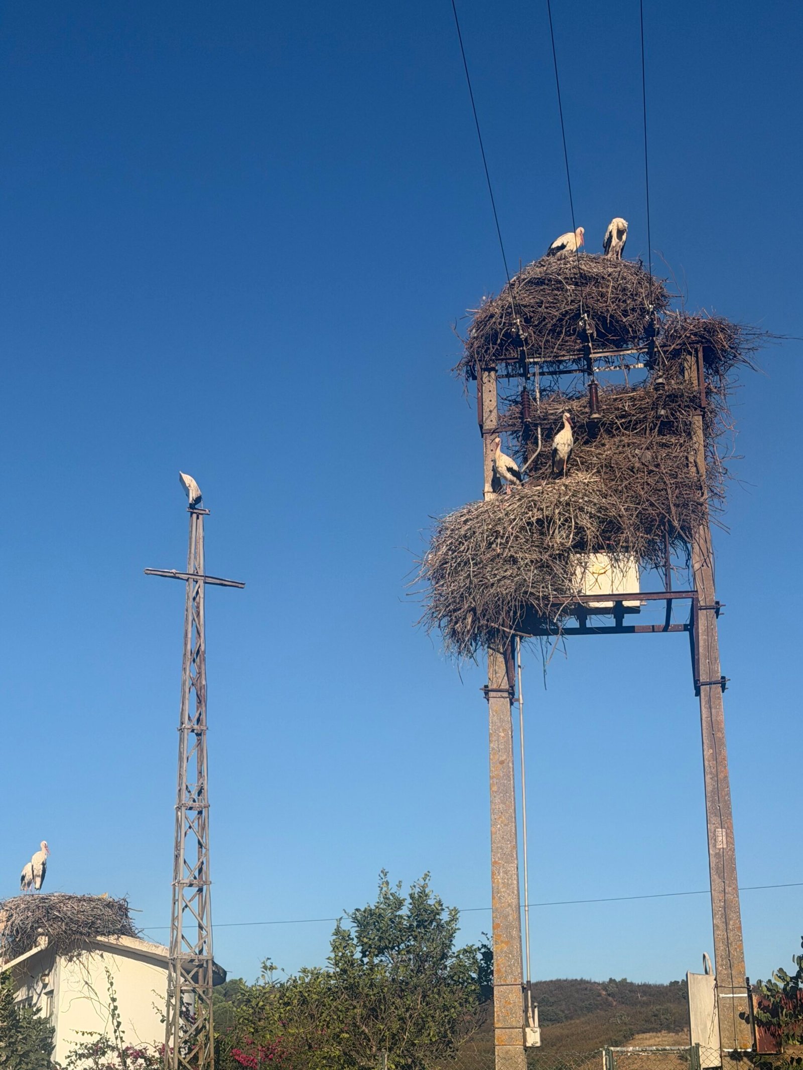
The opening kilometres were an easy warm-up west along the valley through Porto de Lagos and onto the EN266, the road that would carry me all the way up to the summit. At Rasmalho I paused for the storks: a tall pole by the road carried great untidy nests, with the birds standing on top as if they owned the place. It was the first of the day’s highlights, and one of the sights of southern Portugal I never tire of.
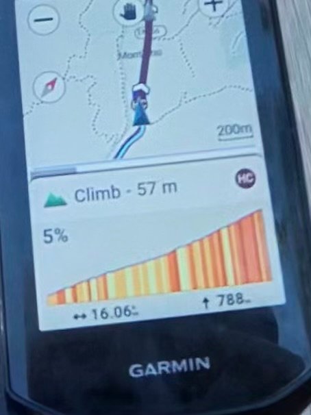
Just past Rasmalho the Garmin flashed up the climb: an HC, 16 km and nearly 790 m to the top. The climb to Fóia goes up past Caldas de Monchique and through Monchique town, then on up the open upper slopes to the summit. I kept it steady at around 235 W and it took me just under an hour and ten minutes.
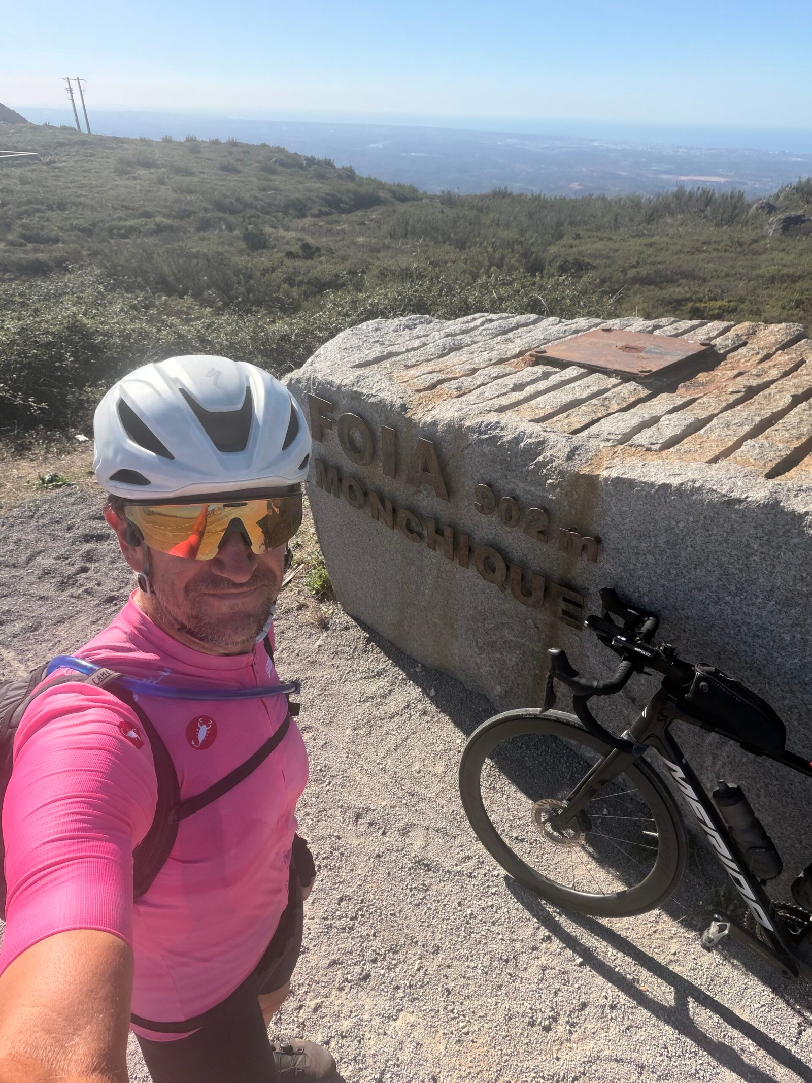
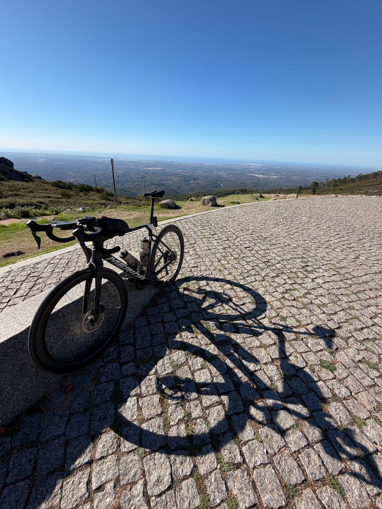
I reached the top just before ten. It was clear, with the plains hazy far below, and I took the best part of three-quarters of an hour over it: a selfie by the summit stone in pink, the colour of the Maglia Rosa, the Giro’s race leader’s jersey (fair enough after the day’s only HC climb), and the bike propped on the cobbles. Then it was down the north side, nearly 30 km of mostly downhill past Nave Redonda and out of the Algarve altogether.
The Alentejo is a different world on a bike: open, rolling country, long straight roads and hardly any traffic, though it was never quite flat: Garmin flagged two Cat 4 climbs between Luzianes and São Martinho das Amoreiras. I stopped in Santa Clara-a-Velha, again at Aldeia das Amoreiras and then at Ourique, keeping the bottles full as the day warmed up. By Ourique I was 120 km in and it was twenty to three. Across the whole ride just 182 vehicles passed me.
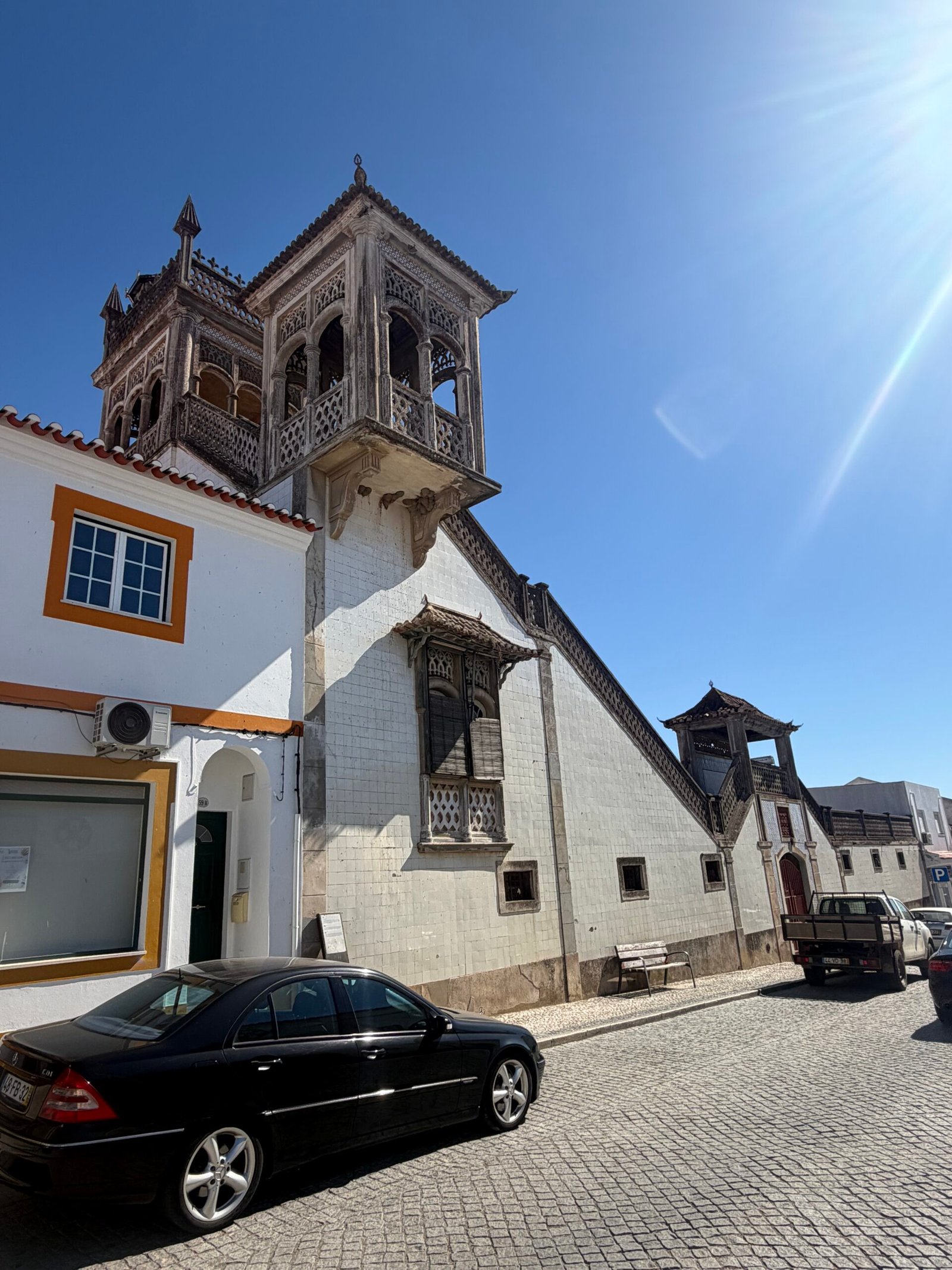
Castro Verde was the turning point. I rolled down a street hung with dozens of coloured umbrellas and found Casa Dona Maria, a 20th-century house that is all towers and balconies, before my longest stop since Fóia.
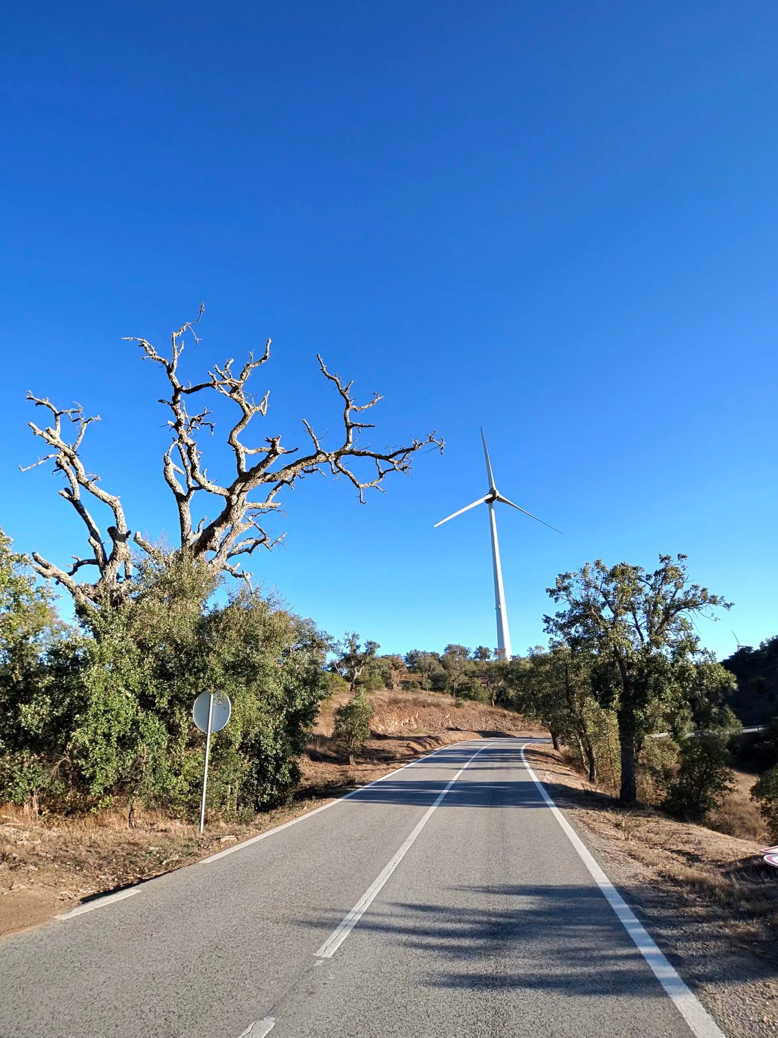
From there it was south on long, straight roads to Almodôvar for one more break, and then the last real climb of the day: 8 km up to Pico do Mu, steady at a little over 3%. Wind turbines lined the ridge ahead on the way up.

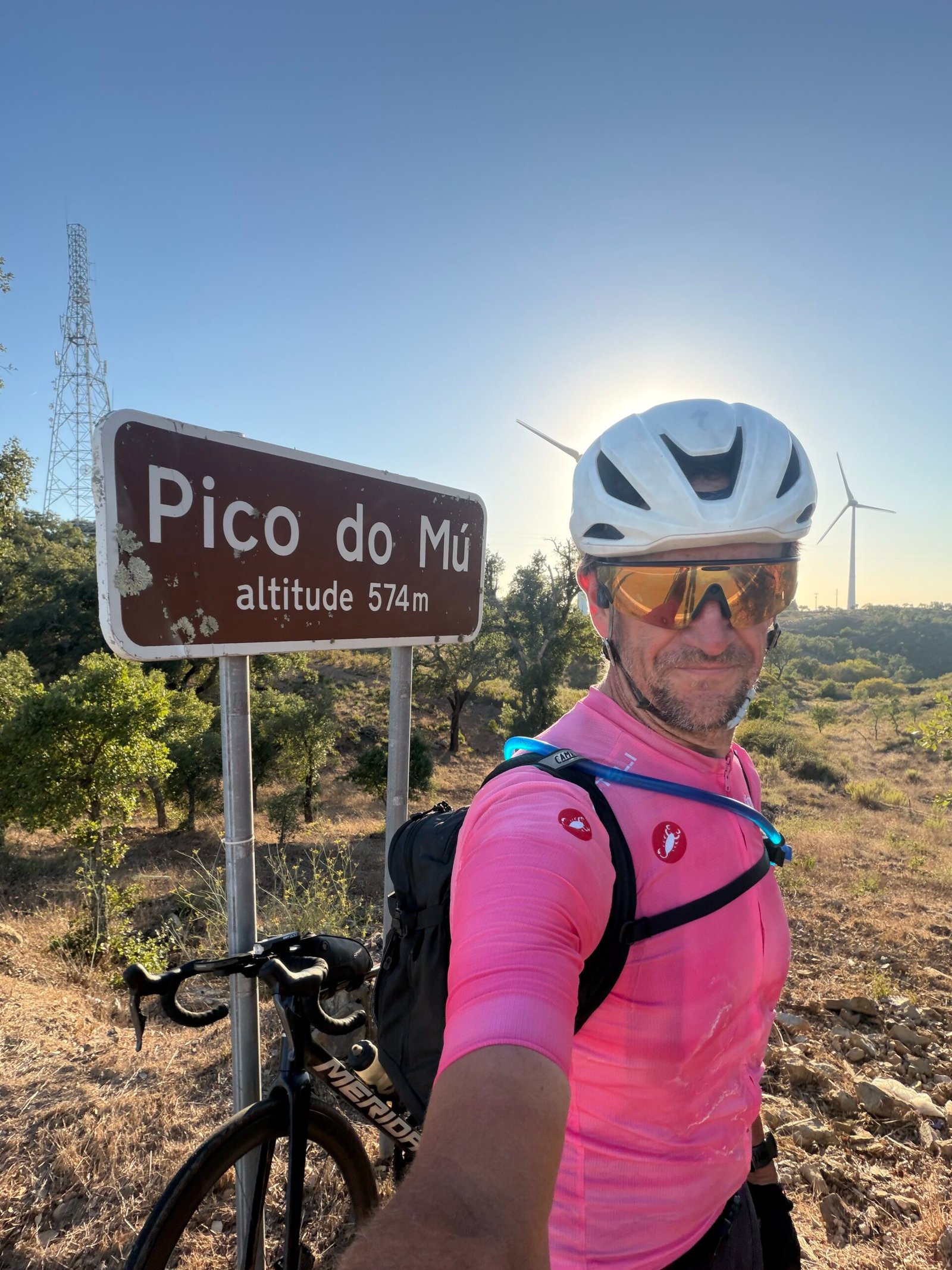
At the top, 574 m up, I stopped for a selfie by the sign with the evening sun behind the mast; it was quarter to seven and I still had 45 km to go. From there it was nearly all downhill, and I touched 75 km/h, my fastest of the day, coming off the ridge past Sítio das Éguas, through Marreiros and São Bartolomeu de Messines, then one last sting, a 1.7 km rise just past Messines, before the final lumps back to Silves.
I rolled into Silves just after sunset, more than 13 hours after leaving that morning, and the best part of 10 of them spent pedalling. Garmin reckoned I’d sweated out around seven and a half litres over the day. Storks, Fóia, a street full of umbrellas and a ridge of turbines – a long day, and a good one.
The numbers
- Ride: #1085 on Strava, ride 214 of 2026, day 94 of the streak
- Distance: 224.5 km
- Moving time: 10:10:27 (13:15:28 elapsed)
- Elevation: 3,106 m
- Average power: 143 W
- Heart rate: 115 bpm average, 159 max
- Cadence: 88 rpm average
- Calories: 6,070 kcal
- Highlight: Subida da Fóia (EN266) – 16.28 km, 770 m, 1:09:28 at 235 W
- Conditions: clear and sunny, 19.1°C at the start, 73% humidity, a light NE breeze
- Year to date: Distance 17,490 km, Elevation Gain 184,862 m
The route
Download the GPX (start and finish trimmed for privacy)
The profile and climbs
17 climbs: 1 HC, 1 Cat 3, 2 Cat 4, 13 uncategorised. Biggest: 16.2 km at 4.8%, 784 m of climbing (HC, from km 27). Together the climbs account for 1,789 m of the ride’s ascent.
HCCat 3Cat 4UncategorisedPins mark where each Garmin ClimbPro climb starts. Hover or tap a pin for details.
Climbs table
| # | Starts at km | Length | Ascent | Avg grade | Time | Avg power | Category |
|---|---|---|---|---|---|---|---|
| 1 | 16.4 | 1.01 km | 34 m | 3.4% | 3:22 | 226 W | Uncategorised |
| 2 | 27.0 | 16.16 km | 784 m | 4.8% | 69:16 | 234 W | HC |
| 3 | 52.9 | 1.17 km | 48 m | 4.2% | 4:58 | 204 W | Uncategorised |
| 4 | 79.2 | 0.93 km | 33 m | 3.6% | 3:39 | 189 W | Uncategorised |
| 5 | 81.4 | 2.04 km | 56 m | 2.7% | 6:48 | 209 W | Uncategorised |
| 6 | 92.4 | 2.69 km | 82 m | 3.1% | 9:38 | 204 W | Cat 4 |
| 7 | 98.5 | 2.87 km | 93 m | 3.2% | 11:30 | 174 W | Cat 4 |
| 8 | 106.5 | 1.51 km | 51 m | 3.4% | 5:32 | 203 W | Uncategorised |
| 9 | 110.8 | 0.73 km | 26 m | 3.6% | 2:52 | 224 W | Uncategorised |
| 10 | 119.5 | 1.99 km | 60 m | 3.0% | 22:49 | 199 W | Uncategorised |
| 11 | 135.8 | 0.68 km | 24 m | 3.5% | 3:14 | 177 W | Uncategorised |
| 12 | 170.1 | 8.28 km | 285 m | 3.4% | 29:08 | 196 W | Cat 3 |
| 13 | 185.8 | 1.31 km | 45 m | 3.5% | 5:01 | 204 W | Uncategorised |
| 14 | 189.0 | 0.68 km | 28 m | 4.1% | 2:37 | 220 W | Uncategorised |
| 15 | 212.1 | 1.67 km | 79 m | 4.7% | 6:34 | 247 W | Uncategorised |
| 16 | 216.4 | 0.51 km | 13 m | 2.6% | 1:40 | 162 W | Uncategorised |
| 17 | 223.0 | 1.46 km | 48 m | 3.3% | 5:17 | 215 W | Uncategorised |
A Rest-Day Spin to Alvor
Day seven in the Algarve, and after 263 km and 43 climbs the day before, this one was meant to be a proper rest day: a quick spin to the beach. I didn’t roll out until just after eleven, under a clear sky with the temperature already in the high twenties and barely a breath of wind. The first few kilometres took me down into Silves, where two stops kept me off the bike for over half an hour before the ride got going properly.
Out of Silves the road heads south and climbs on the N124-1, the biggest climb of the day at a little over a kilometre – nothing serious, but enough to wake the legs. From there it was on past Estombar and down to the Arade, over the old bridge into Portimão and along the riverside cycle path.
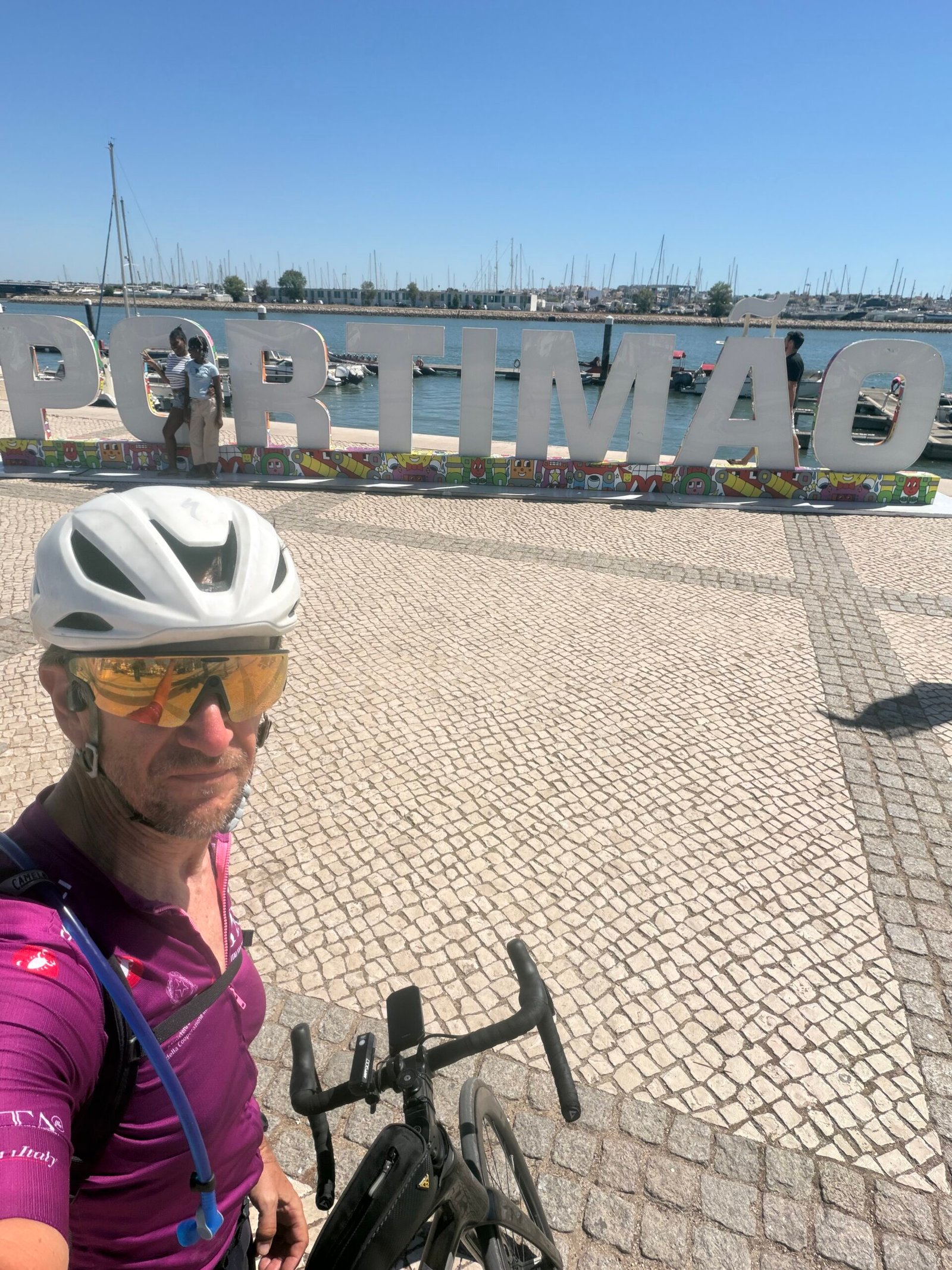
I couldn’t ride past the giant PORTIMÃO letters on the waterfront without stopping for a selfie, the marina full of masts behind me and the Maglia Ciclamino on my back, the Giro’s jersey for the leading sprinter, though a rest-day spin was never going to earn it. Then it was up behind Praia da Rocha, over the little hill at Praia do Alemão and along the coast towards Alvor. The coast roads made it a busier ride than most this week: 194 vehicles passed me, a lot for such a short day out.
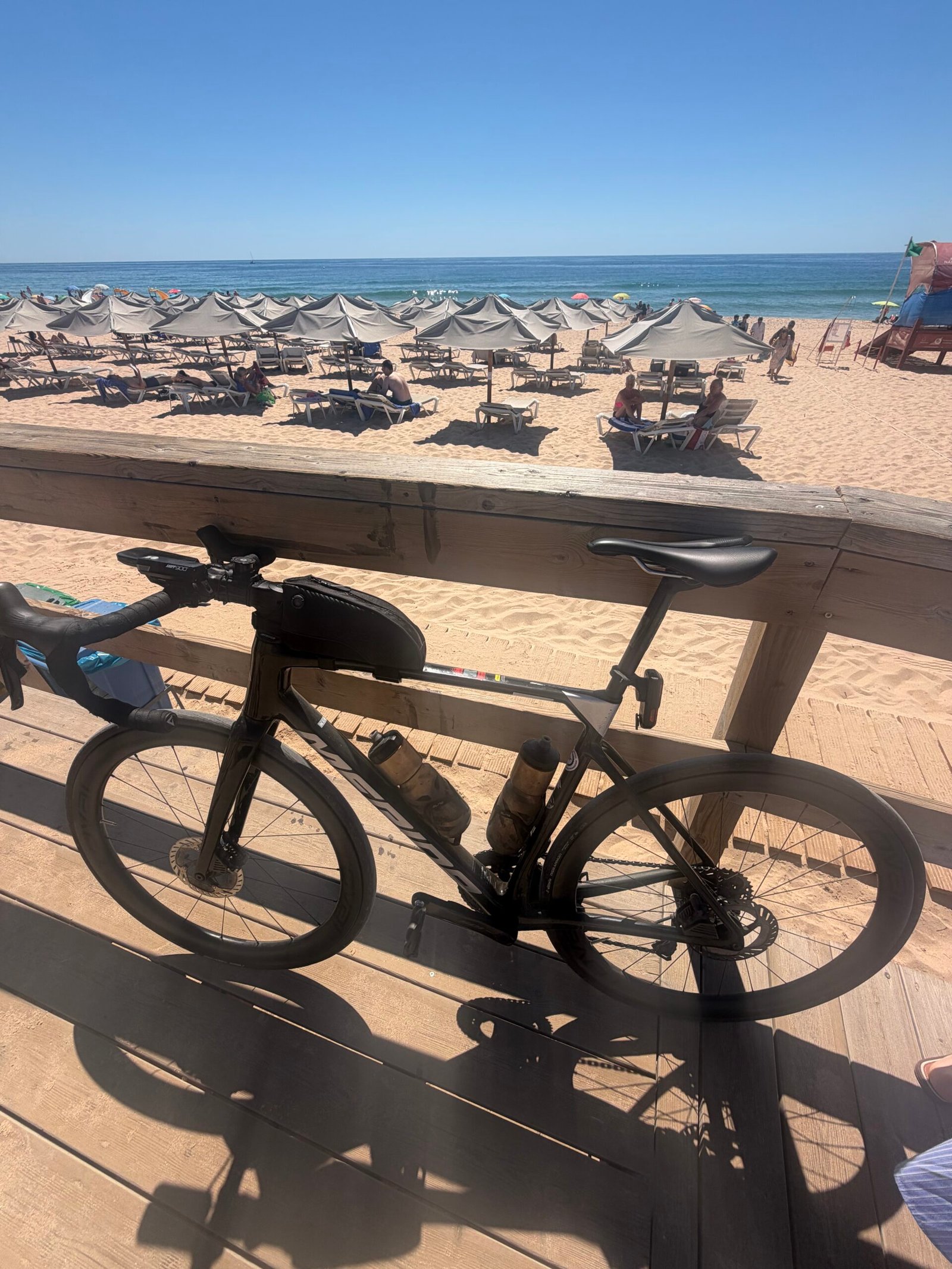
Alvor was the turning point. I leant the bike against the boardwalk rail above the beach, a sea of parasols stretching down to the water, and took a minute to enjoy being somewhere this warm with nowhere I had to be. Then a squinting, sun-flared selfie on the way back out of the village.
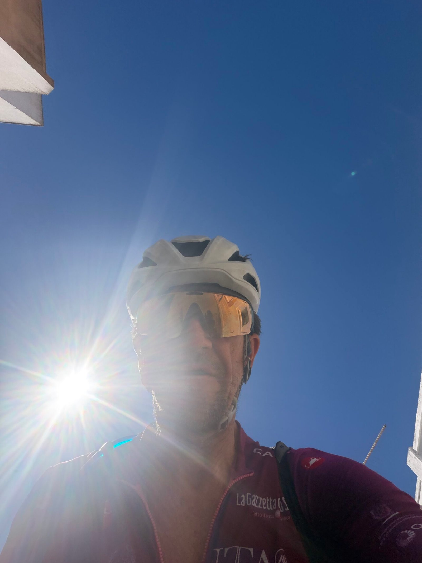
Rather than retrace the coast, I headed north through Penina, with a short stop by the Porto de Lagos roundabout, and then climbed past Alcalar into the hills. This was the most sustained climbing of the day, topping out just under 100 m near Casas Velhas. It’s small beer by Algarve standards, but in the early-afternoon heat it was plenty, and Garmin reckoned I’d still sweated out over 2 litres – not bad for a rest day.
From there it was downhill and then a flat run along the Odelouca valley and the N124 back into Silves, finishing with one last drag up to base. A rest day in name, if not quite in nature – but a beach is a beach.
The numbers
- Ride: #1084 on Strava, ride 213 of 2026, day 93 of the streak
- Distance: 72.8 km
- Moving time: 3:02:23 (3:58:50 elapsed)
- Elevation: 640 m
- Average power: 124 W
- Heart rate: 99 bpm average, 144 max
- Cadence: 86 rpm average
- Calories: 1,609 kcal
- Highlight: N124-1, Silves – 1.24 km, 58 m, 5:20 at 192 W
- Conditions: clear and sunny, 27.1°C (feels like 29.5°C), 43% humidity, barely a breath of SE wind
- Year to date: Distance 17,266 km, Elevation Gain 181,756 m
The route
Download the GPX (start and finish trimmed for privacy)
The profile and climbs
10 climbs, all uncategorised. Biggest: 1.3 km at 4.0%, 53 m of climbing (from km 9). Together the climbs account for 278 m of the ride’s ascent.
Uncategorised Pins mark where each Garmin ClimbPro climb starts. Hover or tap a pin for details.
Climbs table
| # | Starts at km | Length | Ascent | Avg grade | Time | Avg power | Category |
|---|---|---|---|---|---|---|---|
| 1 | 8.5 | 1.31 km | 53 m | 4.0% | 5:27 | 201 W | Uncategorised |
| 2 | 14.4 | 0.78 km | 29 m | 3.6% | 2:54 | 235 W | Uncategorised |
| 3 | 25.4 | 0.76 km | 21 m | 2.8% | 2:15 | 218 W | Uncategorised |
| 4 | 30.0 | 0.53 km | 15 m | 2.9% | 2:14 | 153 W | Uncategorised |
| 5 | 37.4 | 0.58 km | 28 m | 4.7% | 2:21 | 239 W | Uncategorised |
| 6 | 43.9 | 0.78 km | 22 m | 2.8% | 2:14 | 230 W | Uncategorised |
| 7 | 46.4 | 0.63 km | 24 m | 3.8% | 2:30 | 202 W | Uncategorised |
| 8 | 54.7 | 0.77 km | 22 m | 2.9% | 2:17 | 230 W | Uncategorised |
| 9 | 68.5 | 0.74 km | 21 m | 2.8% | 2:33 | 177 W | Uncategorised |
| 10 | 71.5 | 1.29 km | 43 m | 3.3% | 4:02 | 238 W | Uncategorised |
Forty-Three Climbs
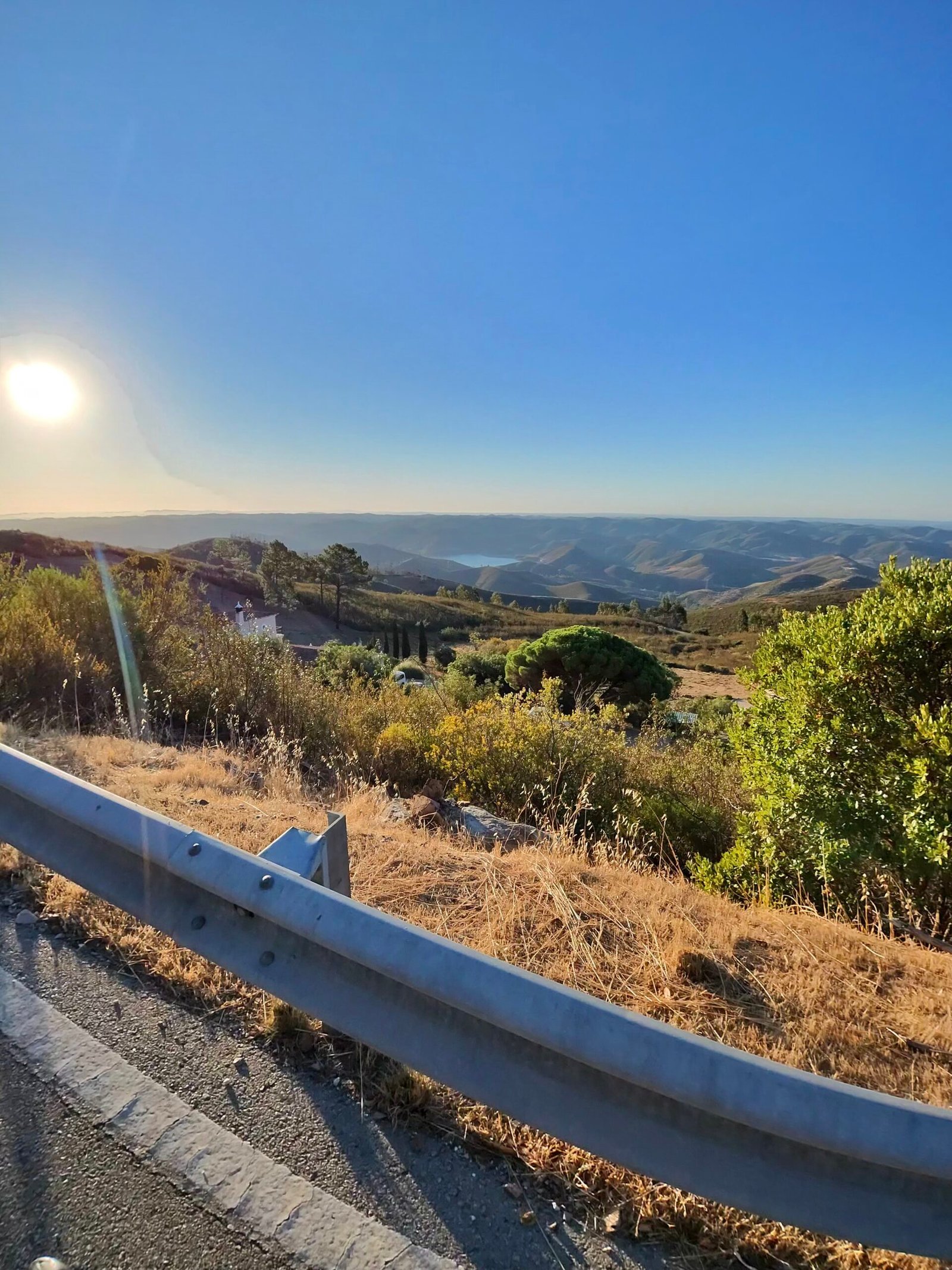
I rolled out of Silves at a quarter past six, still in the dark, with the thermometer on 17.9°C and a light breeze from the north-north-east. Day six in the Algarve, and the plan was the biggest loop of the trip: up to Monchique, north and west across the hills to the Atlantic side at Aljezur, then back past the Odiáxere dam and over Monchique a second time.
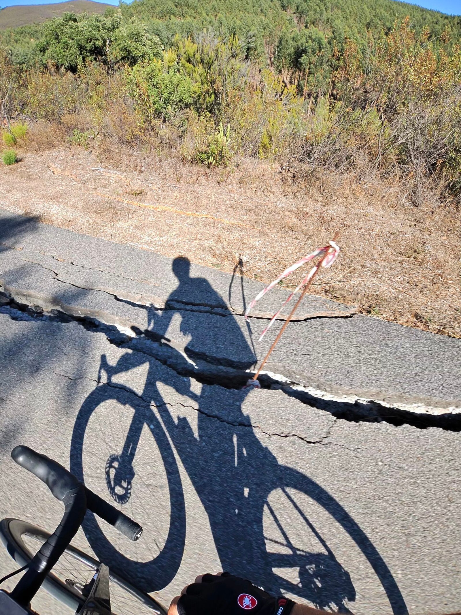
The first 20 km along the valley were gentle. Then the road tipped up for the climb up from the Odelouca valley to Alferce, nearly 6 km and close to 400 m of climbing, the hardest of the day, just as the sun came up and threw my shadow three times my height across the tarmac.
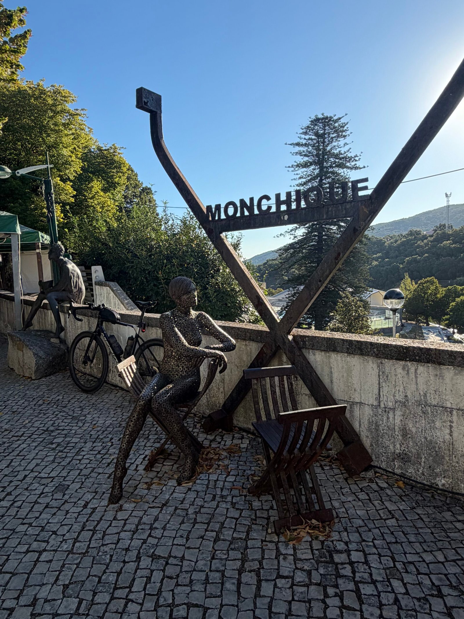
Over the top the light turned gold across the serra, and at 43 km I rolled into Monchique for a long stop at the Velochique bike café.
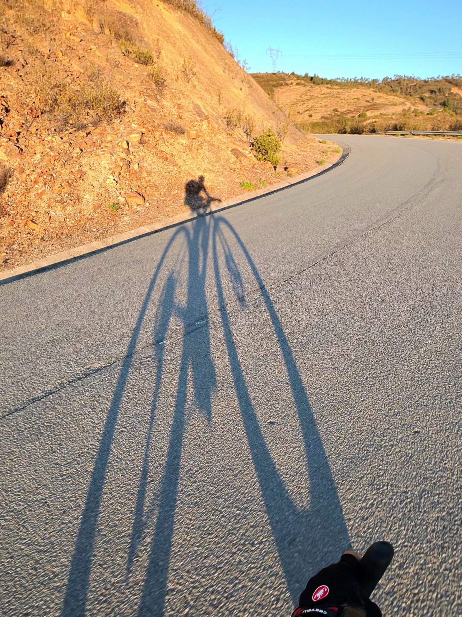
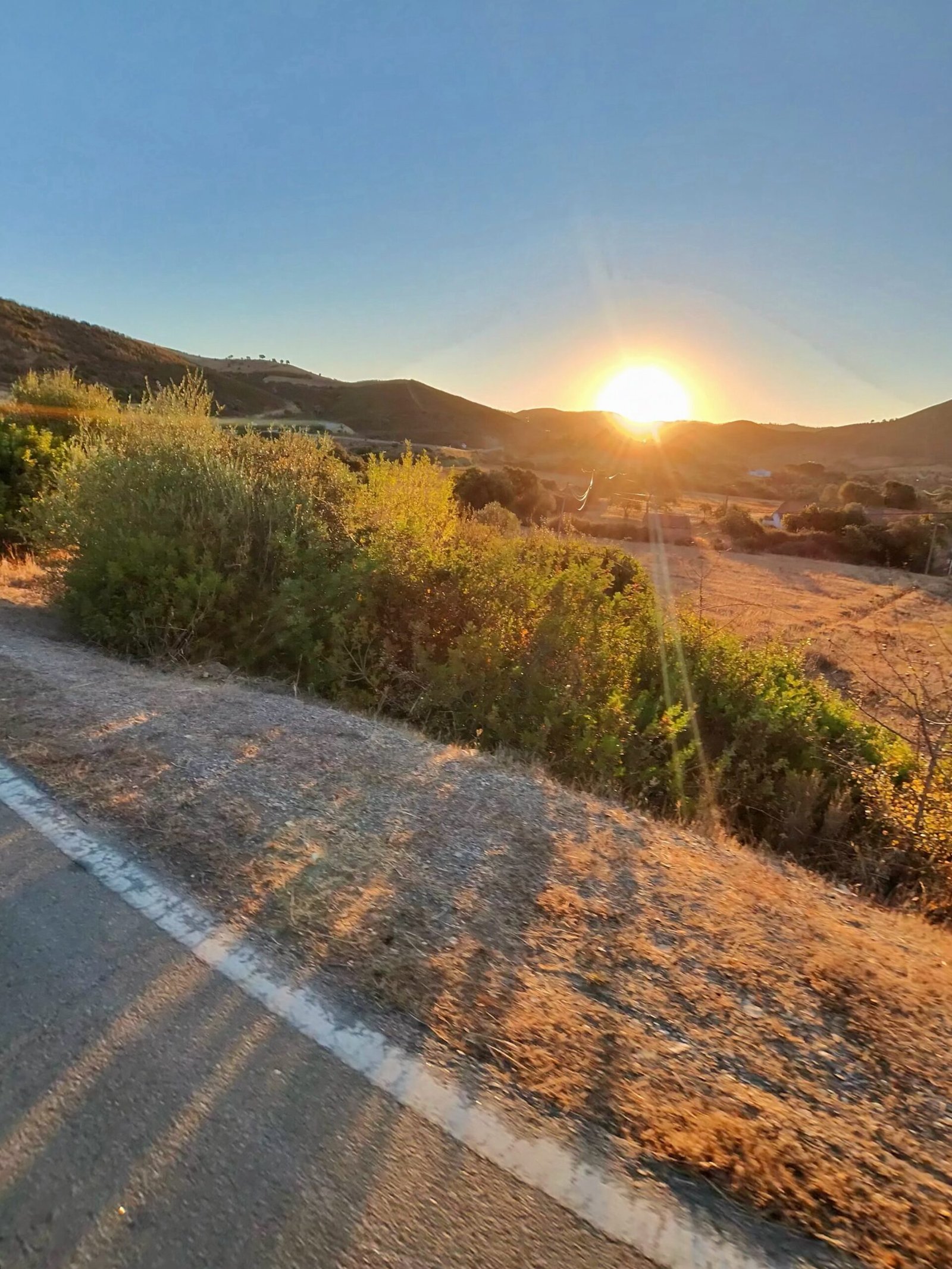
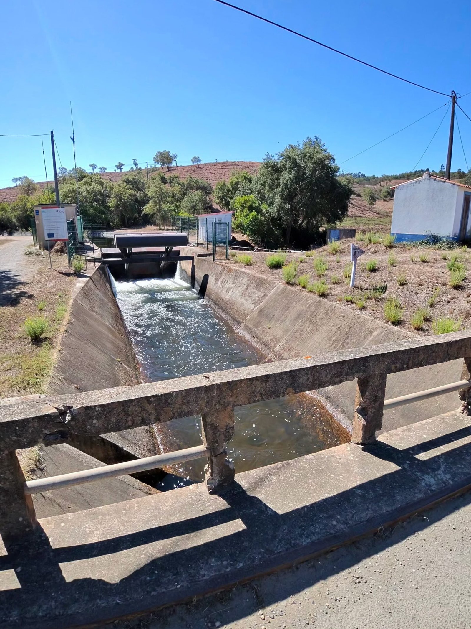
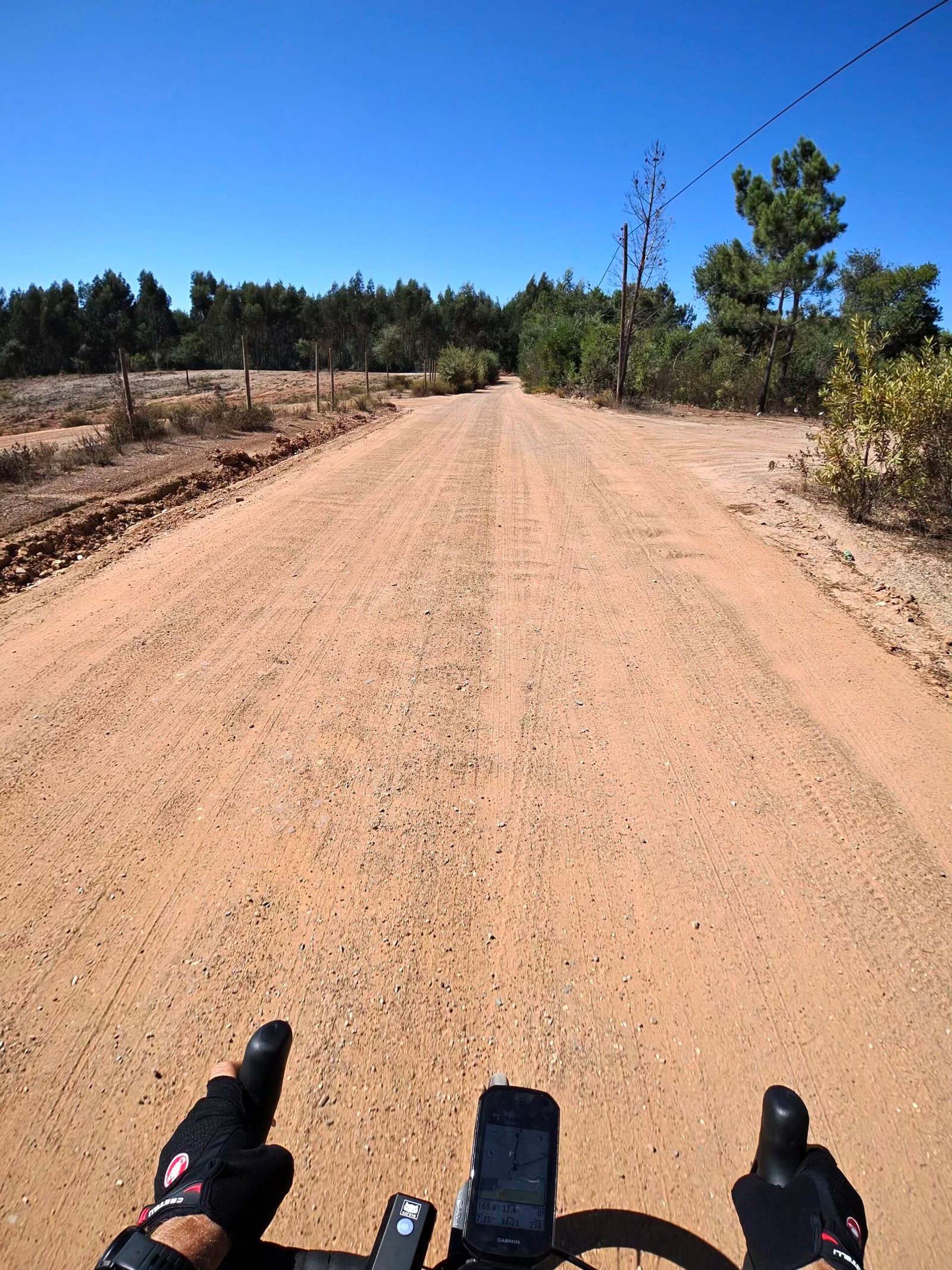
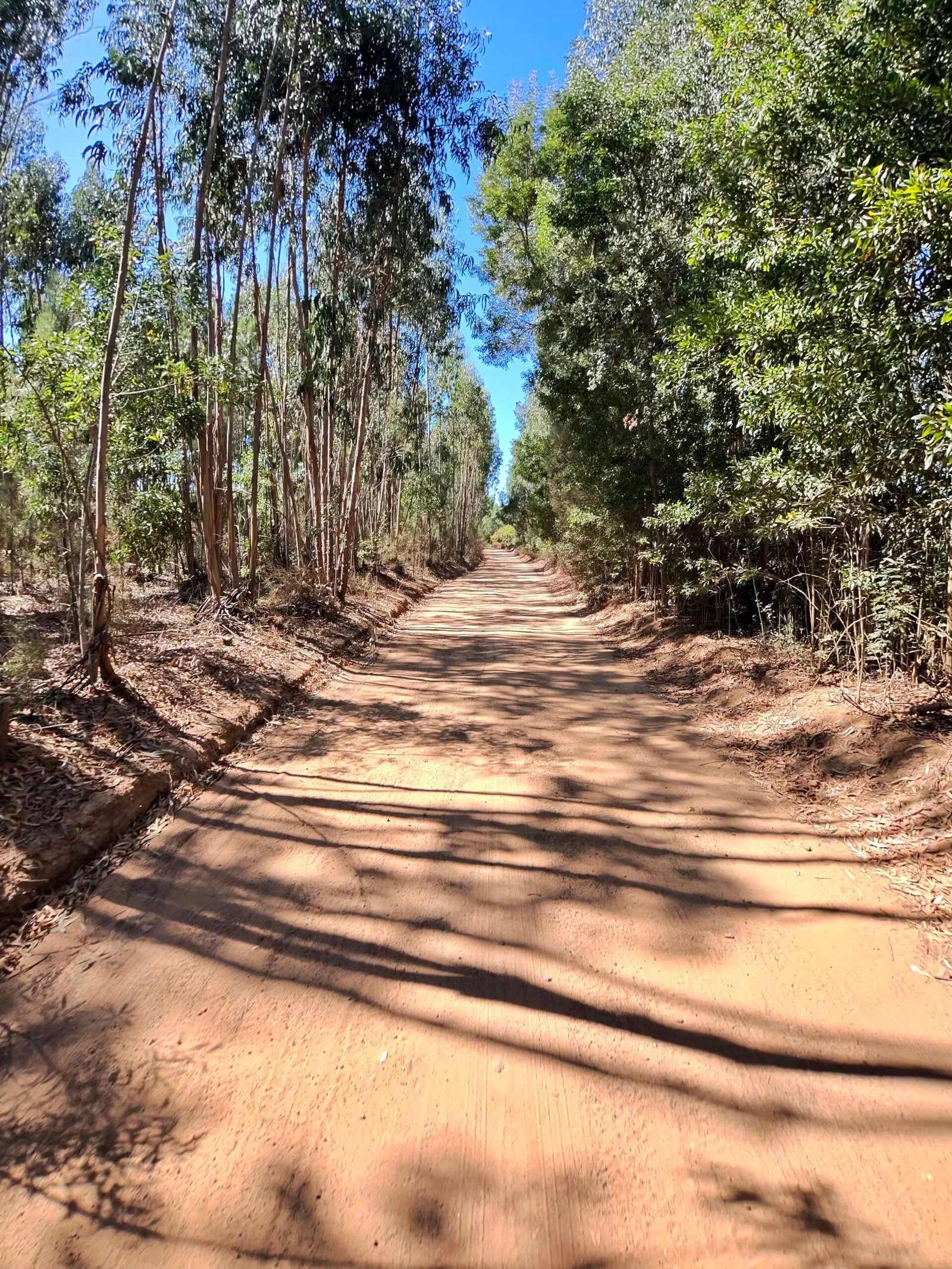
From Monchique I dropped north on the N266, a long, fast descent with 11 km of it averaging over 30 km/h, to Nave Redonda, then wound up towards Portela da Fonte Santa, the most northerly point of the day. Then it was west into quieter country, past a water channel at Barranco do Inferno and onto long stretches of dirt road under the eucalyptus.
This is the Algarve most visitors never see. Hardly anyone was about – just 252 vehicles passed me all day, about one a kilometre – and there were hills in every direction. Forty-three climbs in a day, as I put it on Strava afterwards, is my idea of heaven: a whole day spent cycling through seemingly endless countryside.

Beyond Marmelete there were cattle grazing on a patch of green in the middle of all that brown, then a sharp climb at over 8% before the road dropped to Rogil, where I took a long break before turning south along the N120, with the Atlantic just over the hills to my right.
Through Aljezur and past the turbines at Alfambras I headed for Bensafrim and the Bravura reservoir behind the Odiáxere dam, 157 km in, where I leant the bike on the fence above the water for a quarter of an hour.
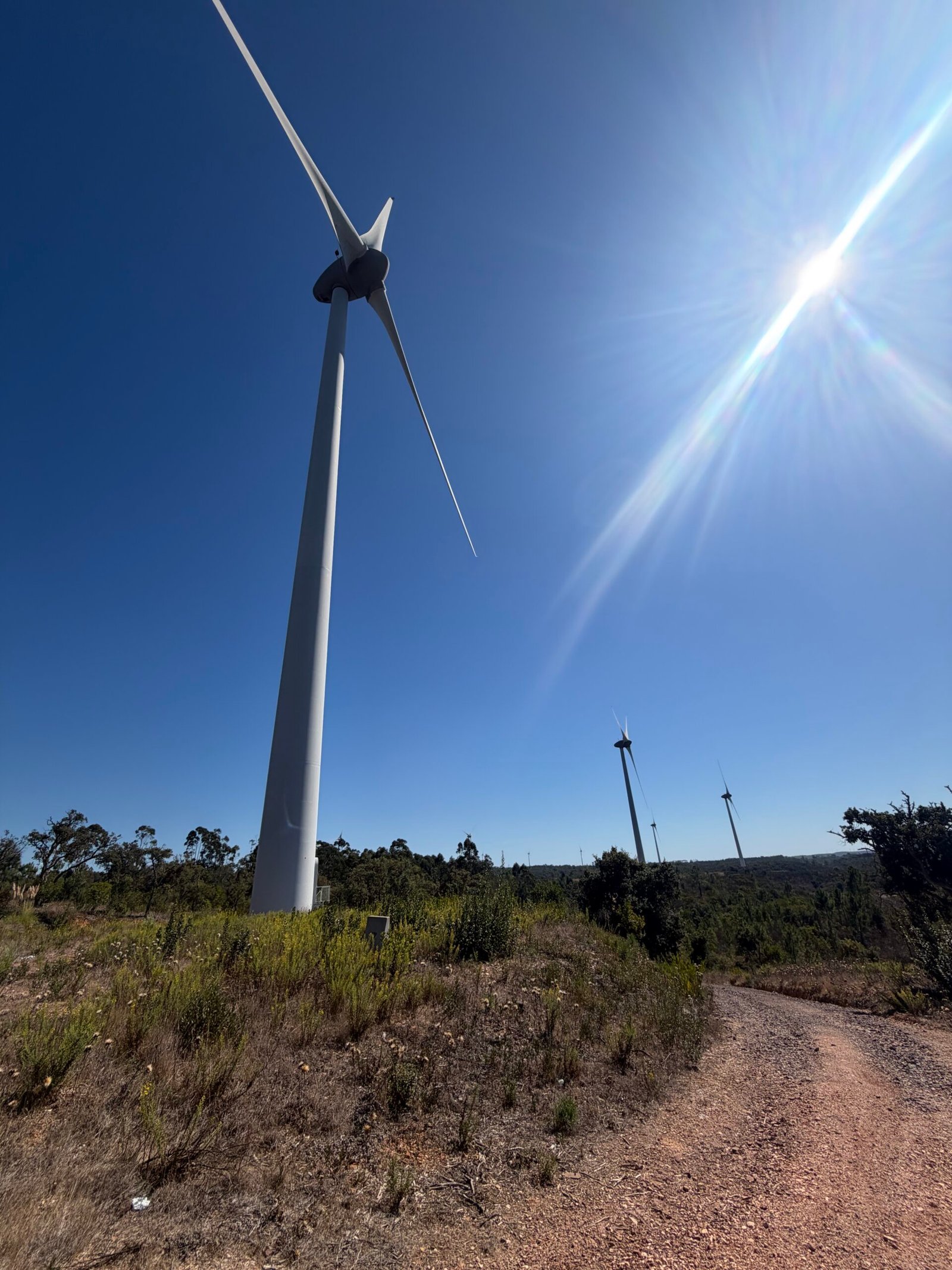
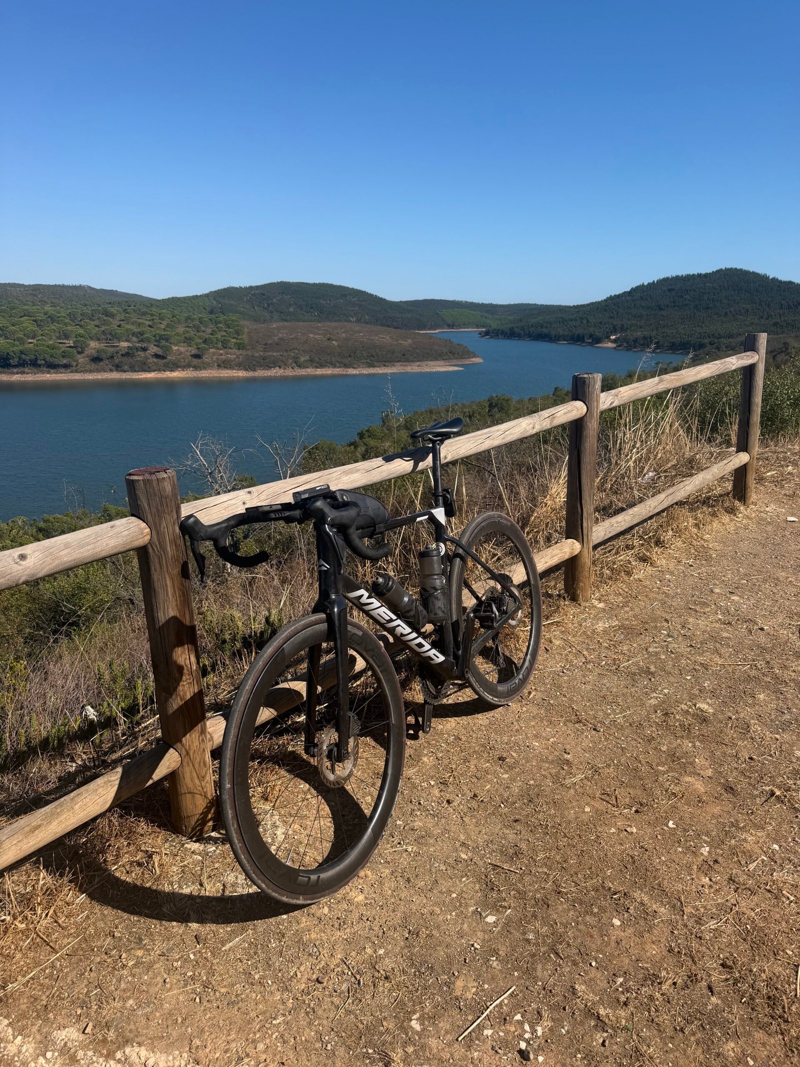
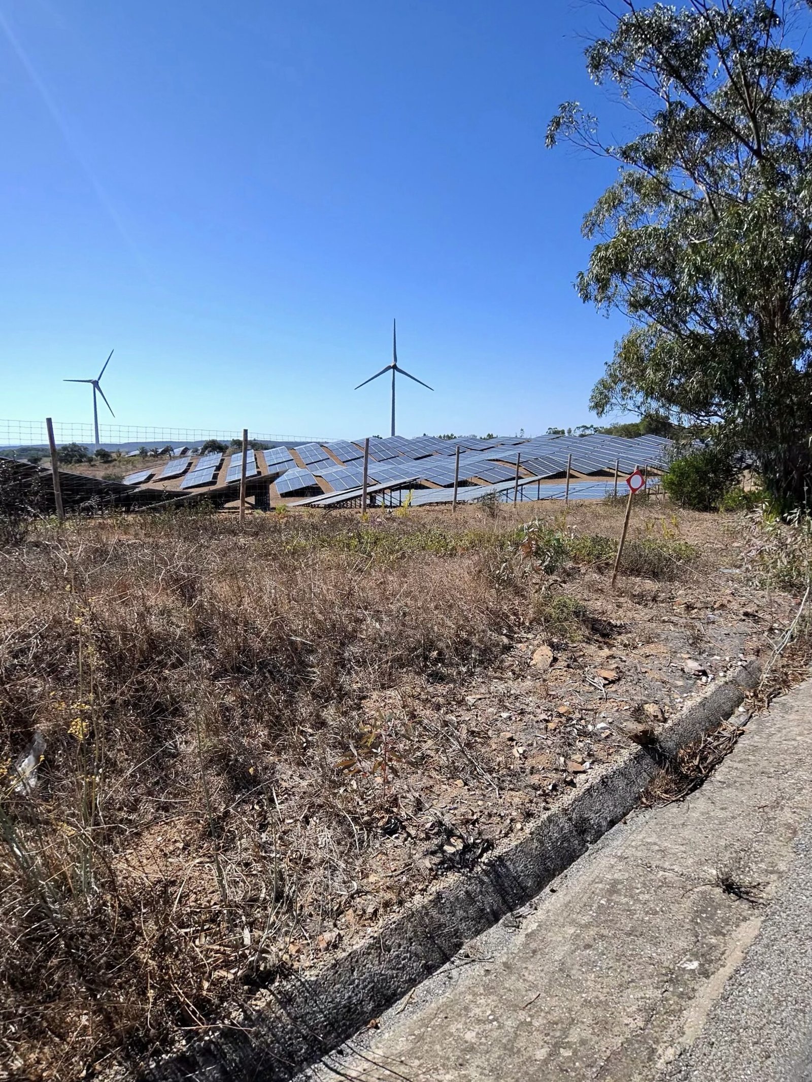
That left the sting in the tail. From the dam the road climbed back towards Monchique, over both of the day’s Cat 3 climbs, the longer nearly 6 km at 5% and a 35-minute grind that late in the day, and I reached the town for the second time at about 200 km, in the early evening, for one last stop.
After that it was nearly all downhill to Silves, the last 50 km in the dark, rolling in just after eleven. Garmin reckoned I’d sweated out around 7.5 litres, and somewhere along the way the year ticked past 17,000 km. Nearly seventeen hours out, more than four of them stopped, 263 km and almost 4,000 m of climbing – my idea of heaven.
The numbers
- Ride: #1083 on Strava, ride 212 of 2026, day 92 of the streak
- Distance: 263.1 km
- Moving time: 12:41:43 (16:49:11 elapsed)
- Elevation: 3,952 m
- Average power: 125 W
- Heart rate: not recorded on this ride
- Cadence: 80 rpm average
- Calories: 6,824 kcal
- Highlight: Odelouca valley to Alferce – 5.68 km, 379 m, 31:09 at 219 W
- Conditions: clear, 17.9°C at the start, 66% humidity, a light north-north-easterly breeze
- Year to date: Distance 17,193 km, Elevation Gain 181,116 m
The route
Download the GPX (start and finish trimmed for privacy)
The profile and climbs
43 climbs: 1 Cat 2, 2 Cat 3, 6 Cat 4, 34 uncategorised. Biggest: 5.8 km at 6.6%, 380 m of climbing (Cat 2, from km 26). Together the climbs account for 2,583 m of the ride’s ascent.
Cat 2 Cat 3 Cat 4 Uncategorised Pins mark where each Garmin ClimbPro climb starts. Hover or tap a pin for details.
Climbs table
| # | Starts at km | Length | Ascent | Avg grade | Time | Avg power | Category |
|---|---|---|---|---|---|---|---|
| 1 | 22.5 | 0.57 km | 34 m | 6% | 2:35 | 251 W | Uncategorised |
| 2 | 26.5 | 5.78 km | 380 m | 6.6% | 31:18 | 219 W | Cat 2 |
| 3 | 35.4 | 4.78 km | 140 m | 2.9% | 17:46 | 179 W | Cat 4 |
| 4 | 40.9 | 0.53 km | 12 m | 2.3% | 1:37 | 173 W | Uncategorised |
| 5 | 42.7 | 0.79 km | 23 m | 2.9% | 3:17 | 156 W | Uncategorised |
| 6 | 44.3 | 1.33 km | 41 m | 3.1% | 4:44 | 196 W | Uncategorised |
| 7 | 47.9 | 1.56 km | 63 m | 4% | 6:13 | 218 W | Uncategorised |
| 8 | 73.9 | 0.61 km | 46 m | 7.5% | 3:25 | 259 W | Uncategorised |
| 9 | 83.0 | 0.58 km | 18 m | 3.1% | 1:59 | 213 W | Uncategorised |
| 10 | 86.4 | 1.33 km | 67 m | 5% | 6:06 | 210 W | Uncategorised |
| 11 | 89.7 | 0.67 km | 55 m | 8.3% | 3:55 | 244 W | Uncategorised |
| 12 | 91.5 | 2.43 km | 99 m | 4.1% | 11:07 | 182 W | Cat 4 |
| 13 | 98.5 | 1.35 km | 39 m | 2.9% | 4:44 | 189 W | Uncategorised |
| 14 | 104.9 | 0.72 km | 19 m | 2.6% | 2:21 | 202 W | Uncategorised |
| 15 | 116.8 | 1.39 km | 114 m | 8.2% | 8:19 | 250 W | Cat 4 |
| 16 | 135.8 | 0.95 km | 28 m | 3% | 3:01 | 204 W | Uncategorised |
| 17 | 139.3 | 3.09 km | 96 m | 3.1% | 12:35 | 177 W | Cat 4 |
| 18 | 143.0 | 2.23 km | 69 m | 3.1% | 6:51 | 204 W | Uncategorised |
| 19 | 149.5 | 0.54 km | 26 m | 4.8% | 2:05 | 229 W | Uncategorised |
| 20 | 152.2 | 1.28 km | 71 m | 5.5% | 5:57 | 227 W | Uncategorised |
| 21 | 154.3 | 0.76 km | 28 m | 3.7% | 3:13 | 178 W | Uncategorised |
| 22 | 155.7 | 0.49 km | 18 m | 3.5% | 1:45 | 177 W | Uncategorised |
| 23 | 158.8 | 0.55 km | 36 m | 6.5% | 3:08 | 205 W | Uncategorised |
| 24 | 162.8 | 2.82 km | 193 m | 6.8% | 18:07 | 188 W | Cat 3 |
| 25 | 166.1 | 0.67 km | 18 m | 2.7% | 2:42 | 122 W | Uncategorised |
| 26 | 168.2 | 1.43 km | 61 m | 4.2% | 6:37 | 178 W | Uncategorised |
| 27 | 172.4 | 1.65 km | 98 m | 5.9% | 9:11 | 171 W | Cat 4 |
| 28 | 178.1 | 0.53 km | 16 m | 3% | 2:38 | 122 W | Uncategorised |
| 29 | 182.5 | 0.80 km | 26 m | 3.2% | 3:47 | 115 W | Uncategorised |
| 30 | 184.8 | 0.56 km | 12 m | 2.1% | 1:58 | 113 W | Uncategorised |
| 31 | 186.1 | 0.51 km | 9 m | 1.8% | 1:39 | 115 W | Uncategorised |
| 32 | 189.3 | 5.91 km | 298 m | 5% | 34:48 | 147 W | Cat 3 |
| 33 | 198.2 | 1.63 km | 46 m | 2.8% | 6:25 | 148 W | Uncategorised |
| 34 | 201.4 | 1.88 km | 90 m | 4.8% | 37:29 | 182 W | Cat 4 |
| 35 | 205.9 | 0.70 km | 13 m | 1.9% | 2:23 | 145 W | Uncategorised |
| 36 | 207.7 | 0.86 km | 22 m | 2.6% | 3:10 | 158 W | Uncategorised |
| 37 | 211.8 | 1.37 km | 38 m | 2.8% | 5:09 | 154 W | Uncategorised |
| 38 | 214.7 | 1.12 km | 29 m | 2.6% | 3:59 | 146 W | Uncategorised |
| 39 | 218.3 | 0.60 km | 24 m | 4% | 2:15 | 204 W | Uncategorised |
| 40 | 224.7 | 0.56 km | 6 m | 1.1% | 1:21 | 111 W | Uncategorised |
| 41 | 244.2 | 0.82 km | 15 m | 1.9% | 2:26 | 191 W | Uncategorised |
| 42 | 258.2 | 0.64 km | 15 m | 2.3% | 2:06 | 170 W | Uncategorised |
| 43 | 261.5 | 1.29 km | 32 m | 2.5% | 4:37 | 159 W | Uncategorised |