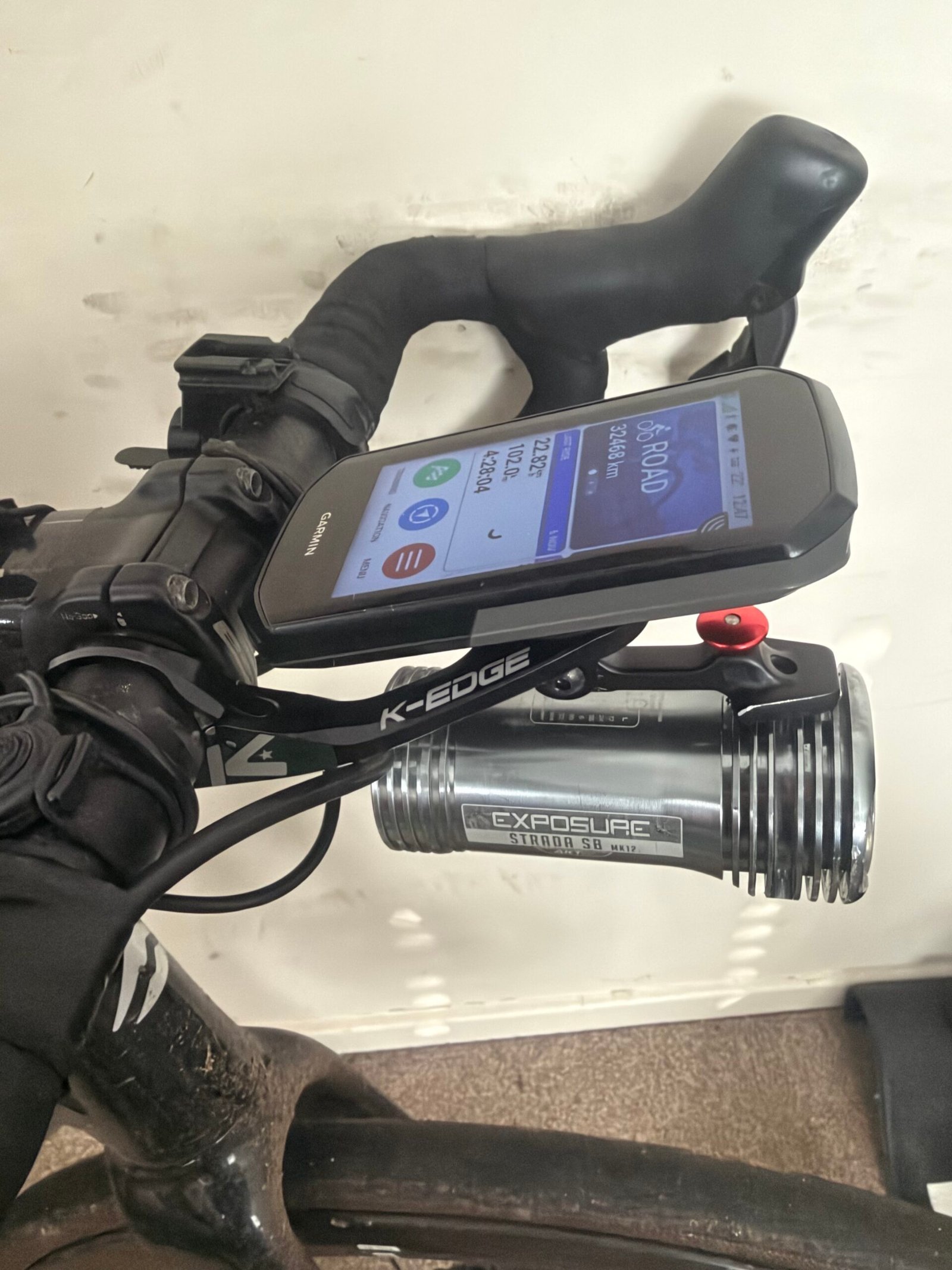
Fog had settled over the Weald by the time I set off on Friday evening, and it stayed with me all the way to Rye in East Sussex and back. That made this foggy ride to Rye a good test for two new bits of kit: my winter boots, on for the first time this year, and a K-Edge mount that sits the Garmin above the front light. The boots kept my feet warm for six hours, and the light had plenty to do.
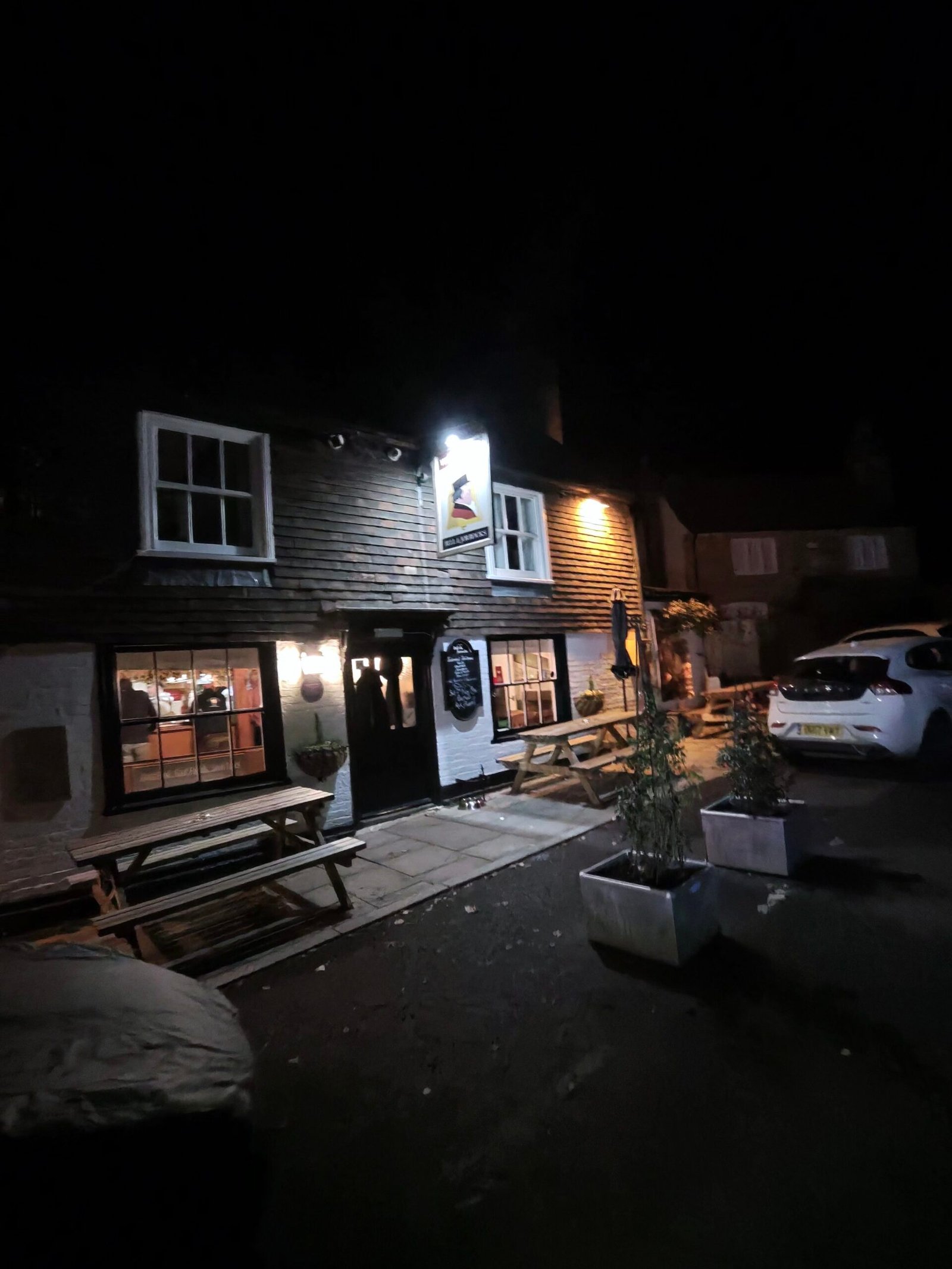
It was the same loop I had ridden a month earlier under a clear sky and a low sun, on Colder and Darker to Rye, but this time it was dark from the first pedal stroke. I headed south across the Weald, and the first lit-up landmark was the front of the Bell & Jorrocks in Frittenden, its windows glowing and its benches empty. From there the lanes ran on through Biddenden to Fosten Lane.
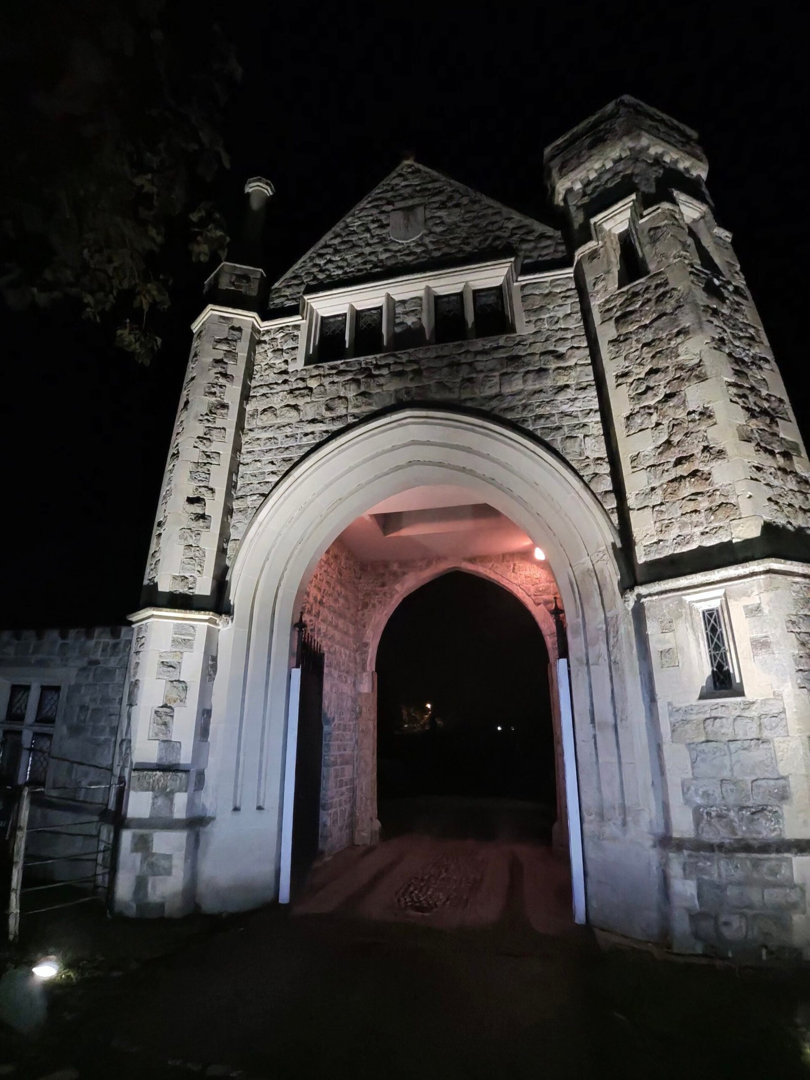
A steady rise took me into Tenterden, past the floodlit gatehouse of Heronden Hall at West Cross. Then the road falls away to Smallhythe and the flat land by the River Rother, and that is where the fog came down properly. Through Wittersham and on along Rye Road, my light threw a white wall back at me and the hedges came and went at the edge of the beam.
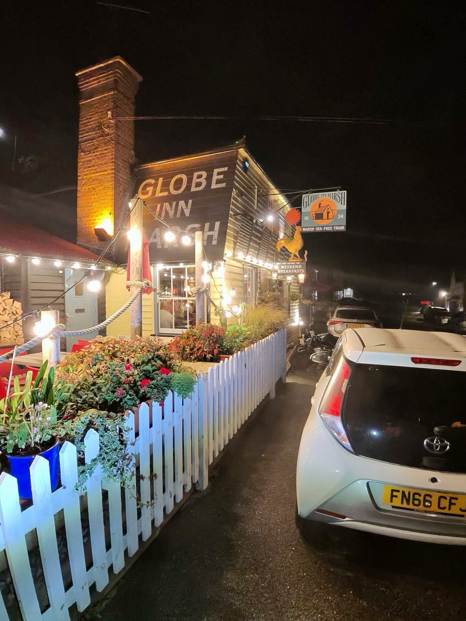
Over the border into East Sussex, I came up past Playden and down to the edge of Rye, and pulled in at the Globe Inn Marsh. I was off the bike for the best part of an hour and a half, with a coffee to warm up, and came back out to find the fog no thinner.
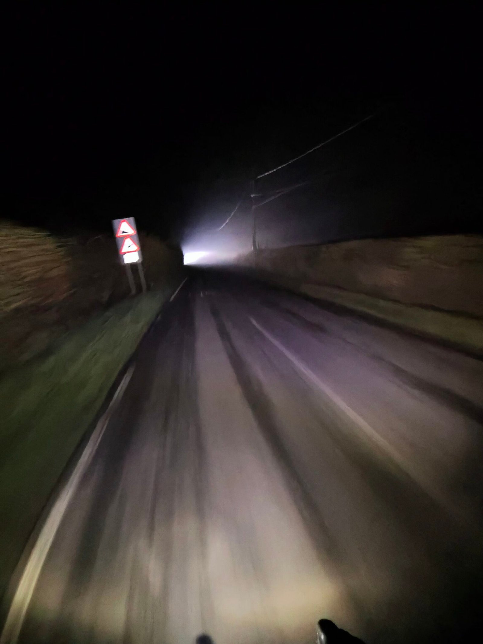

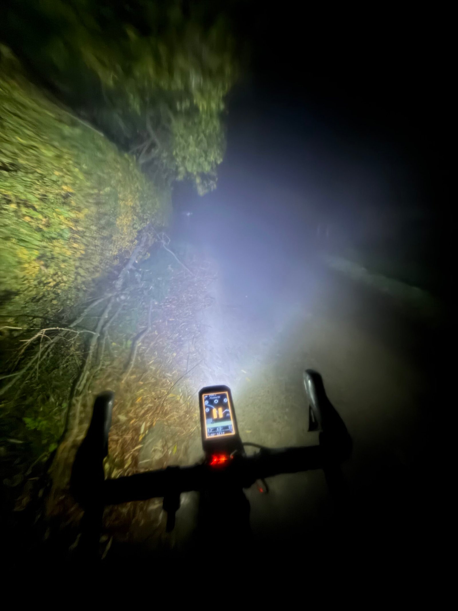
Military Road runs level beside the Royal Military Canal all the way to Appledore, and in fog it is an eerie stretch, with no horizon and nothing to fix my eyes on but the road just ahead. After the rise out of Appledore came Woodchurch and the long lanes north past Bethersden, where the fog hung thick in the hedgerows. Traffic stayed light all night, with just 79 vehicles passing me.
The one categorised climb came near the end, up Workhouse Lane and Friday Street to East Sutton. Then it was down through Sutton Valence and home: the same loop as last month, but one I barely saw.
The numbers
- Ride: #1139 on Strava, ride 268 of 2026, day 148 of the streak
- Distance: 102.0 km
- Moving time: 4:28:57 (6:09:36 elapsed)
- Elevation: 794 m
- Average power: 122 W
- Heart rate: 122 bpm average, 166 max
- Cadence: 90 rpm average
- Calories: 2,328 kcal
- Highlight (Strava segment): Workhouse Lane, East Sutton – 1.57 km, 88 m, 6:33 at 242 W
- Conditions: dark and foggy, 10.3°C, 88% humidity, a light north-north-easterly
- Year to date: Distance 21,573 km, Elevation Gain 219,214 m
The route
● Favourite Garmin segment ● Shorter segment inside a longer one The numbers match the Segments table below. Hover over a segment for its time and rank; click or tap for a link to it on Garmin Connect.
Download the GPX (start and finish trimmed for privacy)
12 favourite Garmin segments. Best placed: Workhouse Lane Climb, 1.55 km at 5.5%, 2nd of my 13 goes (from km 89). Time and power are from this ride; My rank places this ride among all my own goes at that segment. The numbers match the map, and each segment name links to Garmin Connect, where you can save it (you’ll need a Garmin account).
Segments table
| # | Segment | Starts at km | Length | Ascent | Avg grade | Time | Avg speed | Avg power | My rank | My best |
|---|---|---|---|---|---|---|---|---|---|---|
| 1 | Lower Farm to Long Ln | 6.5 | 1.47 km | 5 m | -0.5% | 3:22 | 26.2 km/h | 195 W | 3 of 14 | 3:02 |
| 2 | Lower Farm Rd | 6.6 | 2.76 km | 5 m | -0.4% | 6:19 | 26.2 km/h | 203 W | 3 of 8 | 5:46 |
| 3 | Frittenden Climb | 17.5 | 0.88 km | 18 m | 2.0% | 2:31 | 21.1 km/h | 235 W | 15 of 24 | 1:44 |
| 4 | Hareplain Sprint to Biddenden turn | 20.8 | 0.44 km | 0 m | -0.2% | 1:12 | 22.0 km/h | 183 W | 12 of 13 | 0:39 |
| 5 | Sissinghurst Rd Sprint to Fosten Ln | 23.0 | 0.57 km | 2 m | 0.5% | 1:30 | 22.8 km/h | 204 W | 12 of 13 | 0:51 |
| 6 | wittersham | 36.4 | 3.09 km | 56 m | 1.8% | 8:39 | 21.5 km/h | 226 W | 7 of 14 | 7:18 |
| 7 | Playden Climb from Iden Rd | 45.9 | 0.72 km | 23 m | 3.9% | 2:19 | 18.6 km/h | 233 W | 5 of 12 | 1:36 |
| 8 | Military Canal from Houghton Green Lane | 49.4 | 7.27 km | 12 m | 0.0% | 18:09 | 24.0 km/h | 183 W | 12 of 13 | 10:49 |
| 9 | Appledore Climb | 58.6 | 1.87 km | 38 m | 1.6% | 5:25 | 20.7 km/h | 213 W | 9 of 22 | 4:02 |
| 10 | Workhouse Lane Climb | 89.2 | 1.55 km | 84 m | 5.5% | 6:36 | 14.0 km/h | 228 W | 2 of 13 | 6:07 |
| 11 | Sutton Valence to Boughton Monchelsea | 92.1 | 3.85 km | 5 m | -0.5% | 10:07 | 22.8 km/h | 177 W | 158 of 174 | 6:45 |
| 12 | Cock to lights | 96.0 | 1.86 km | 10 m | 0.6% | 4:54 | 22.7 km/h | 179 W | 171 of 216 | 3:06 |
The profile and climbs
9 climbs: 1 Cat 4, 8 uncategorised. Biggest: 1.5 km at 5.8%, 88 m of climbing (Cat 4, from km 89). Together the climbs account for 299 m of the ride’s ascent. Garmin and Strava measure climbs and segments over their own start and finish points, so the figures here can differ from the Highlight above and from each other.
● Cat 4 ● Uncategorised Pins mark where each Garmin ClimbPro climb starts. Hover or tap a pin for details.
Climbs table
| # | Climb | Category | Starts at km | Length | Ascent | Avg grade | Time | Avg speed | Avg power | My rank | My best |
|---|---|---|---|---|---|---|---|---|---|---|---|
| 1 | Water Lane, Sinkhurst Green | Uncategorised | 17.7 | 0.59 km | 17 m | 2.8% | 1:50 | 19.5 km/h | 209 W | 14 of 23 | 1:17 |
| 2 | Biddenden | Uncategorised | 22.2 | 0.68 km | 21 m | 3.0% | 2:09 | 18.9 km/h | 200 W | 12 of 22 | 1:53 |
| 3 | Cranbrook Road, Biddenden | Uncategorised | 27.4 | 0.53 km | 14 m | 2.6% | 1:26 | 22.1 km/h | 216 W | 12 of 16 | 1:13 |
| 4 | Cranbrook Road, Tenterden | Uncategorised | 30.0 | 1.31 km | 49 m | 3.7% | 5:02 | 15.7 km/h | 229 W | 13 of 15 | 3:45 |
| 5 | B2082 to Wittersham | Uncategorised | 36.3 | 1.26 km | 36 m | 2.9% | 3:49 | 19.8 km/h | 216 W | 10 of 15 | 3:38 |
| 6 | Rye Road, Rye Foreign | Uncategorised | 45.9 | 0.81 km | 30 m | 3.7% | 2:33 | 19.0 km/h | 224 W | 33 of 56 | 1:46 |
| 7 | Woodchurch Road, Appledore Heath | Uncategorised | 59.2 | 1.17 km | 28 m | 2.4% | 3:36 | 19.5 km/h | 191 W | 8 of 22 | 2:43 |
| 8 | Front Road, Woodchurch | Uncategorised | 63.1 | 0.52 km | 16 m | 3.0% | 1:32 | 20.5 km/h | 198 W | 7 of 23 | 1:16 |
| 9 | Workhouse Lane and Friday Street | Cat 4 | 89.2 | 1.52 km | 88 m | 5.8% | 6:31 | 14.0 km/h | 229 W | 8 of 22 | 5:18 |
My rank places this ride among my outdoor rides over the same climb on Garmin up to that day, matched by GPS, and My best is the fastest of them at the time. Time and speed include any stop on the climb.
Related
Related rides
- Back to Bethersden on Two Good Tyres: the same lanes around Bethersden the night before, under a clear, cold sky
- Midnight Traffic in the Fog: another night when the fog closed in, on a short loop nearer home
Kit on this ride
- Sidi Nix Winter Boots: Warm Feet and a Reflective Strip: the winter boots that kept my feet warm for all six hours
- K-EDGE Max XL Combo Mount: Garmin Over the Light: the new mount, holding the Garmin above the light through the fog
Every town, café, beach and landmark from my rides is collected on the Links page.