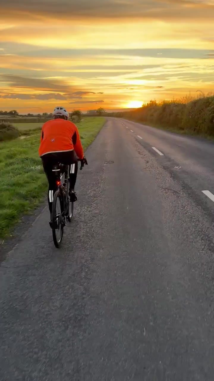
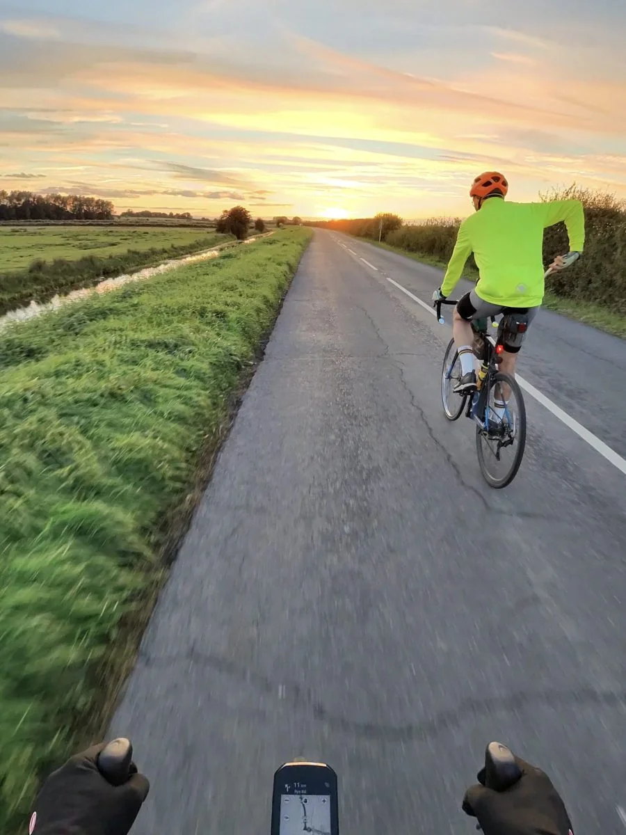
A week on from my last run down to Rye, the same short loop was a different ride: colder and darker, as I put it on Strava. It had been nearly 20°C when I set off the week before. This time it was 15°C under a clear sky, with a north-westerly behind me, and I left about three-quarters of an hour earlier to catch what was left of the light.
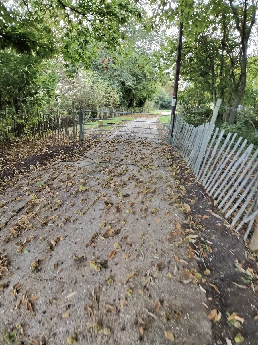
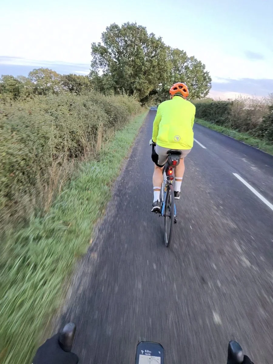
I had Eugen Hanusch for company on this one, and his yellow jacket up the road makes a good target. We went out across the flat lanes by Lower Farm Road, with chestnuts lying thick on one stretch of track, and on towards Frittenden.
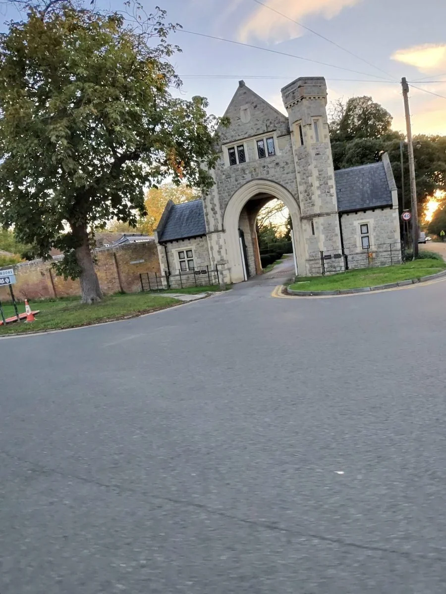
From Frittenden it was Hareplain and Fosten Lane, then the first climb worth the name, up into Tenterden. The low sun was on the fields by then, and at the top we came past the stone gatehouse lodge at West Cross, its carriage arch built to look like the way into something far grander.
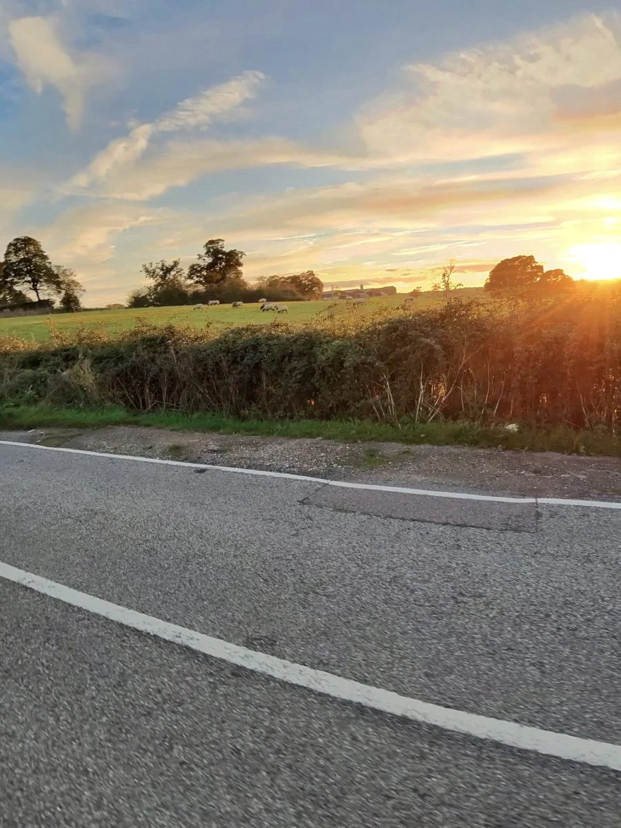
From Tenterden the road drops to Smallhythe and the flat land by the Rother, and that was where the evening peaked: an orange sky low over the road, a wide green verge, and very little else.
The road climbs away from the levels at Wittersham, and the pace eased after that, with the stop in sight.
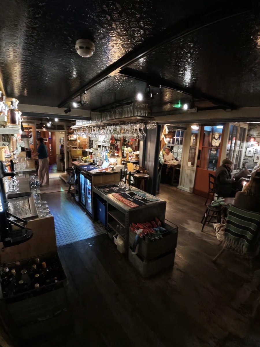
The light was going by the time we reached Rye, and we stopped at The Globe Inn Marsh on Military Road for a burger, well over an hour off the bike in all. That is the way to do a 100 km ride: under four and a half hours moving, nearly six all told.
We came out into full darkness, and Military Road is a fine place to find your legs again, dead flat beside the Royal Military Canal to Appledore.
After the Appledore climb it was Woodchurch and the long, quiet lanes north. One short rise around there, about 500 m at 2.8%, went in 1:20 at 263 W, the fastest of my 22 goes at it, and that was after more than an hour off the bike. Just 186 vehicles passed me over the whole ride.
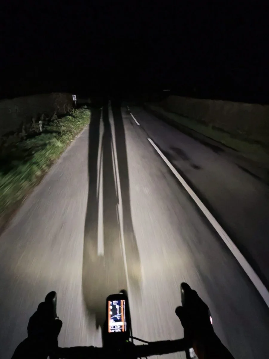
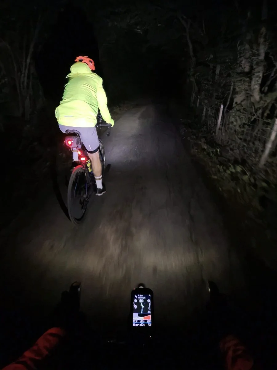
The one proper climb waits until near the end. Workhouse Lane rises onto the Greensand Ridge, the only climb Garmin bothered to categorise all night, and took me seven and a half minutes at 206 W. Then it was along the top from Sutton Valence to Boughton Monchelsea and home. Colder and darker, yes, but I wouldn’t have missed that sky.
The numbers
- Ride: #1110 on Strava, ride 239 of 2026, day 119 of the streak
- Distance: 100.1 km
- Moving time: 4:21:21 (5:56:45 elapsed)
- Elevation: 777 m
- Average power: 118 W
- Heart rate: 101 bpm average, 144 max
- Cadence: 86 rpm average
- Calories: 2,219 kcal
- Highlight (Strava segment): Workhouse Ln Climb – 1.57 km, 88 m, 7:27 at 206 W
- Conditions: clear, sunset into darkness, 15°C, 47% humidity, 14 km/h NW wind
- Year to date: Distance 19,286 km, Elevation Gain 198,908 m
The route
● Favourite Garmin segment ● Shorter segment inside a longer one The numbers match the Segments table below. Hover over a segment for its time and rank; click or tap for a link to it on Garmin Connect.
Download the GPX (start and finish trimmed for privacy)
12 favourite Garmin segments. Best placed: Military Canal from Houghton Green Lane, 7.27 km at 0.0%, 6th of my 12 goes (from km 48). Time and power are from this ride; My rank places this ride among all my own goes at that segment. The numbers match the map, and each segment name links to Garmin Connect, where you can save it (you’ll need a Garmin account).
Segments table
| # | Segment | Starts at km | Length | Ascent | Avg grade | Time | Avg speed | Avg power | My rank | My best |
|---|---|---|---|---|---|---|---|---|---|---|
| 1 | Lower Farm to Long Ln | 5.2 | 1.47 km | 5 m | -0.5% | 4:13 | 20.9 km/h | 167 W | 10 of 13 | 3:02 |
| 2 | Lower Farm Rd | 5.3 | 2.76 km | 5 m | -0.4% | 7:16 | 22.8 km/h | 140 W | 6 of 7 | 5:46 |
| 3 | Frittenden Climb | 16.2 | 0.88 km | 18 m | 2.0% | 2:30 | 21.3 km/h | 237 W | 14 of 23 | 1:44 |
| 4 | Hareplain Sprint to Biddenden turn | 19.6 | 0.44 km | 0 m | -0.2% | 1:04 | 24.7 km/h | 209 W | 8 of 12 | 0:39 |
| 5 | Sissinghurst Rd Sprint to Fosten Ln | 21.8 | 0.57 km | 2 m | 0.5% | 1:24 | 24.4 km/h | 195 W | 9 of 12 | 0:51 |
| 6 | wittersham | 35.1 | 3.09 km | 56 m | 1.8% | 8:44 | 21.3 km/h | 200 W | 7 of 13 | 7:18 |
| 7 | Playden Climb from Iden Rd | 44.6 | 0.72 km | 23 m | 3.9% | 2:42 | 15.9 km/h | 226 W | 11 of 11 | 1:36 |
| 8 | Military Canal from Houghton Green Lane | 47.9 | 7.27 km | 12 m | 0.0% | 16:04 | 27.2 km/h | 152 W | 6 of 12 | 10:49 |
| 9 | Appledore Climb | 57.1 | 1.87 km | 38 m | 1.6% | 5:41 | 19.7 km/h | 187 W | 16 of 21 | 4:02 |
| 10 | Workhouse Lane Climb | 87.6 | 1.55 km | 84 m | 5.5% | 7:29 | 12.4 km/h | 199 W | 10 of 12 | 6:07 |
| 11 | Sutton Valence to Boughton Monchelsea | 90.5 | 3.85 km | 5 m | -0.5% | 9:21 | 24.7 km/h | 165 W | 143 of 173 | 6:45 |
| 12 | Cock to lights | 94.4 | 1.86 km | 10 m | 0.6% | 5:17 | 21.1 km/h | 166 W | 202 of 215 | 3:06 |
The profile and climbs
9 climbs: 1 Cat 4, 8 uncategorised. Biggest: 1.5 km at 5.7%, 87 m of climbing (Cat 4, from km 88). Together the climbs account for 293 m of the ride’s ascent. Garmin and Strava measure climbs and segments over their own start and finish points, so the figures here can differ from the Highlight above and from each other.
Cat 4 Uncategorised Pins mark where each Garmin ClimbPro climb starts. Hover or tap a pin for details.
Climbs table
| # | Climb | Category | Starts at km | Length | Ascent | Avg grade | Time | Avg speed | Avg power | My rank | My best |
|---|---|---|---|---|---|---|---|---|---|---|---|
| 1 | Water Lane | Uncategorised | 16.4 | 0.60 km | 17 m | 2.8% | 1:48 | 19.9 km/h | 214 W | 14 of 22 | 1:17 |
| 2 | near Biddenden | Uncategorised | 20.9 | 0.68 km | 19 m | 2.8% | 2:12 | 18.5 km/h | 198 W | 13 of 21 | 1:53 |
| 3 | Cranbrook Road | Uncategorised | 26.2 | 0.53 km | 13 m | 2.5% | 1:28 | 21.7 km/h | 217 W | 10 of 15 | 1:17 |
| 4 | Cranbrook Road | Uncategorised | 28.8 | 1.29 km | 49 m | 3.8% | 4:24 | 17.6 km/h | 231 W | 8 of 14 | 3:45 |
| 5 | B2082, Wittersham | Uncategorised | 35.1 | 1.26 km | 35 m | 2.8% | 4:02 | 18.7 km/h | 211 W | 13 of 14 | 3:38 |
| 6 | Rye Road | Uncategorised | 44.5 | 0.80 km | 29 m | 3.6% | 3:00 | 16.1 km/h | 189 W | 55 of 55 | 1:46 |
| 7 | Woodchurch Road | Uncategorised | 57.7 | 1.16 km | 29 m | 2.5% | 3:46 | 18.5 km/h | 187 W | 14 of 21 | 2:43 |
| 8 | Front Road | Uncategorised | 61.5 | 0.52 km | 15 m | 2.8% | 1:20 | 23.4 km/h | 263 W | 1 of 22 | 1:20 |
| 9 | Workhouse Lane | Cat 4 | 87.6 | 1.51 km | 87 m | 5.7% | 7:23 | 12.3 km/h | 198 W | 19 of 21 | 5:18 |
My rank places this ride among my outdoor rides over the same climb on Garmin up to that day, matched by GPS, and My best is the fastest of them at the time. Time and speed include any stop on the climb.
Related
Related rides
- Playing on the Sea Wall: back through Rye a few days later, this time from Dungeness
- The Long Way to Portsmouth: Tenterden again, on the way to a distance PB
Further reading
The Canal Built to Trap an Army, Penny Hampson: “The canal would have kinks, to allow troops to fire along it”. Why Military Road runs beside such an odd canal, and how it came to be finished too late.
Every town, café, beach and landmark from my rides is collected on the Links page.