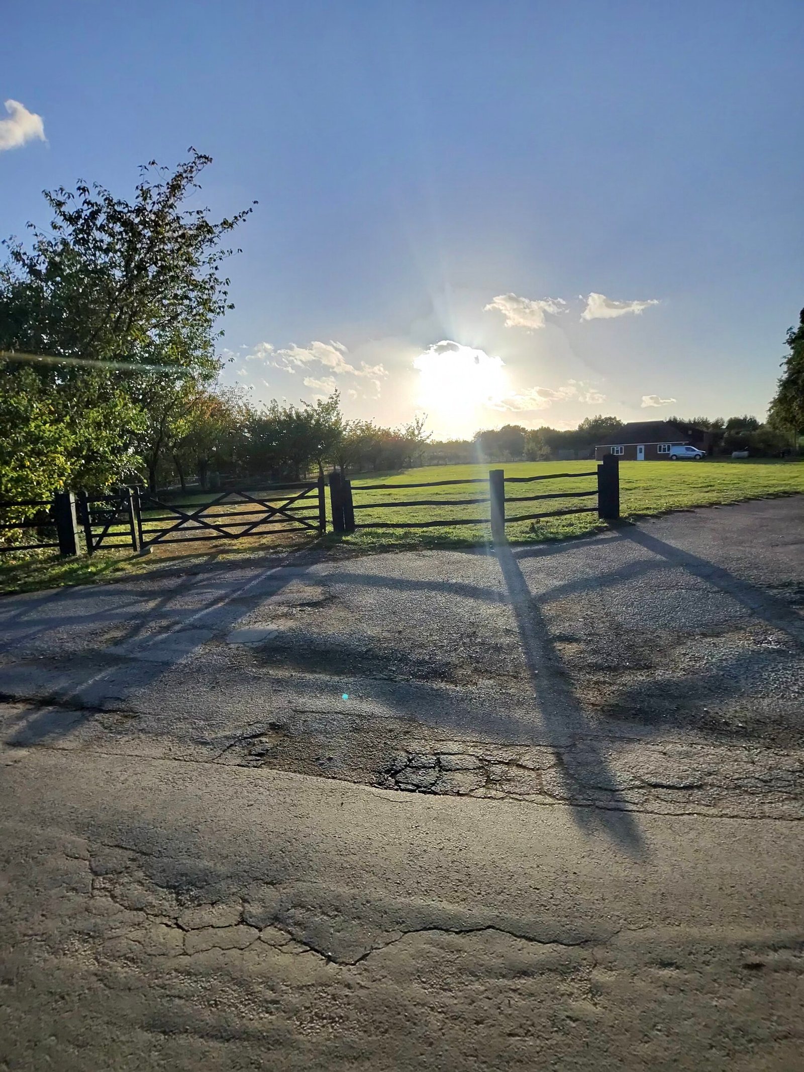
I wanted a play on the sea wall at Dymchurch, and I was happy to get there after dark. It was a warm evening in the middle of October, 19.6°C with 52% humidity, and Strava had the wind at around 24 km/h from the west, which meant a push all the way to the coast and the opposite on the way home.
The sun was already low and throwing long shadows a few kilometres in, and I took the early Garmin segments gently. From there it was quiet roads to Charing.
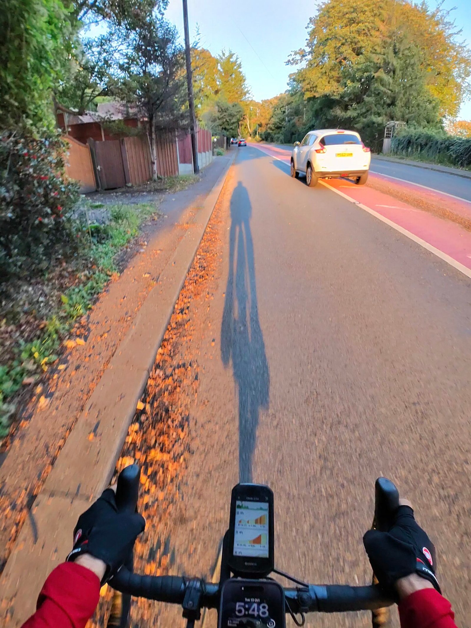
Charing Hill was the biggest climb of the ride, and Garmin gave it a Cat 4: 89 m in 1.4 km at 6.5%. I went up through the village at a steady 242 W with my shadow stretched out beside me. With nearly 140 km still to ride, that was fine by me.
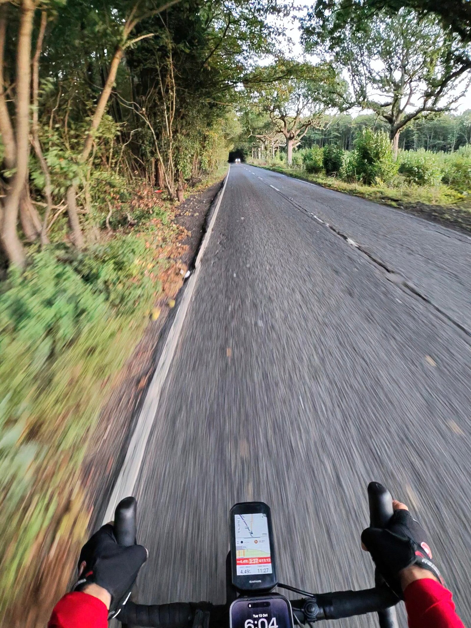
Over the top I dropped through the woods towards Wye, the last of the daylight going as I reached the village. I stopped there twice, for about 35 minutes all told, and came out into the dark.
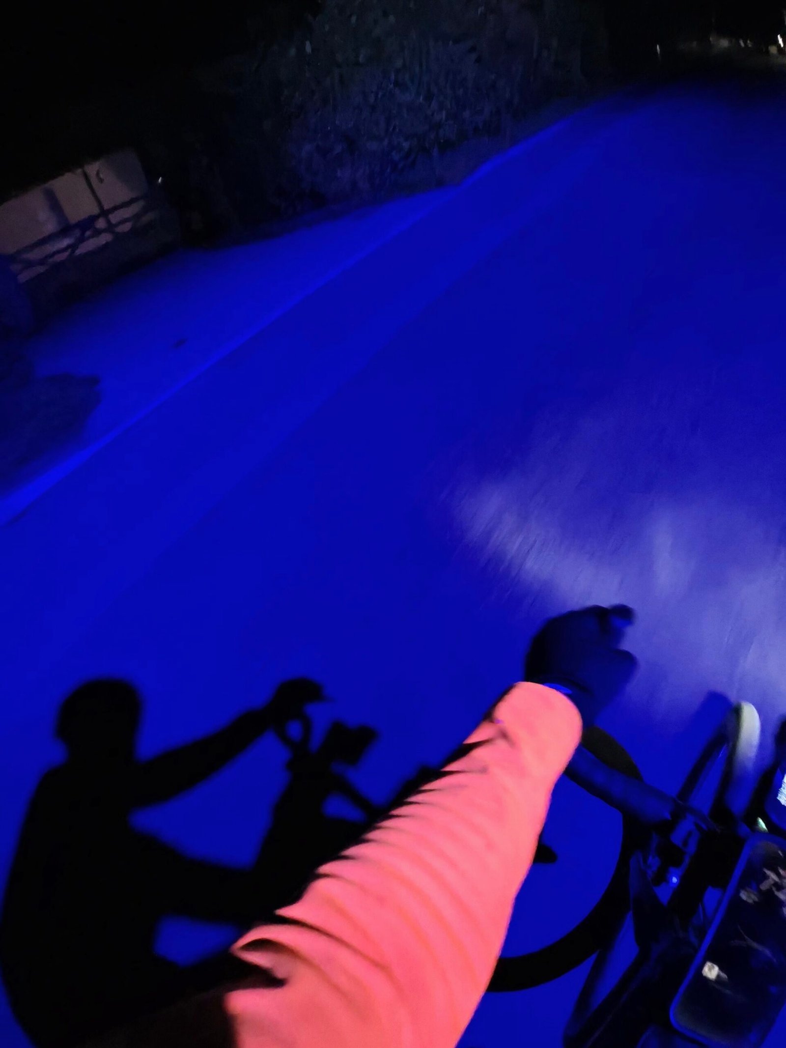
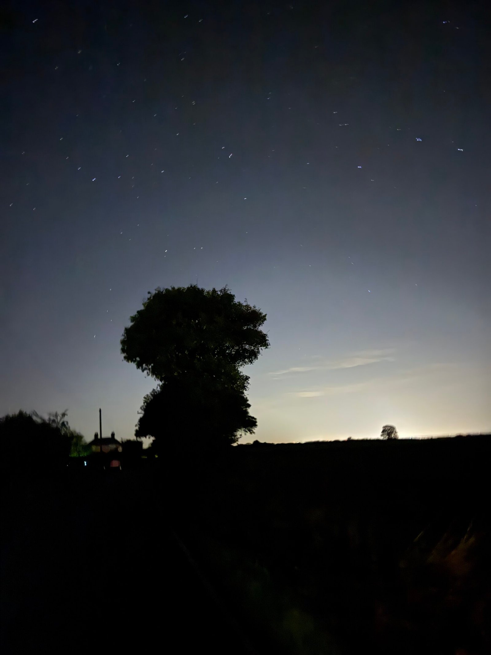
The lanes on towards Aldington had one surprise, a moment when the whole road turned blue, and by the time I was near Lympne the stars were out over a last glow on the horizon.
A long descent took me down into Hythe for a stop of about a quarter of an hour. Then it was the cycle path out of town to the reason for coming.
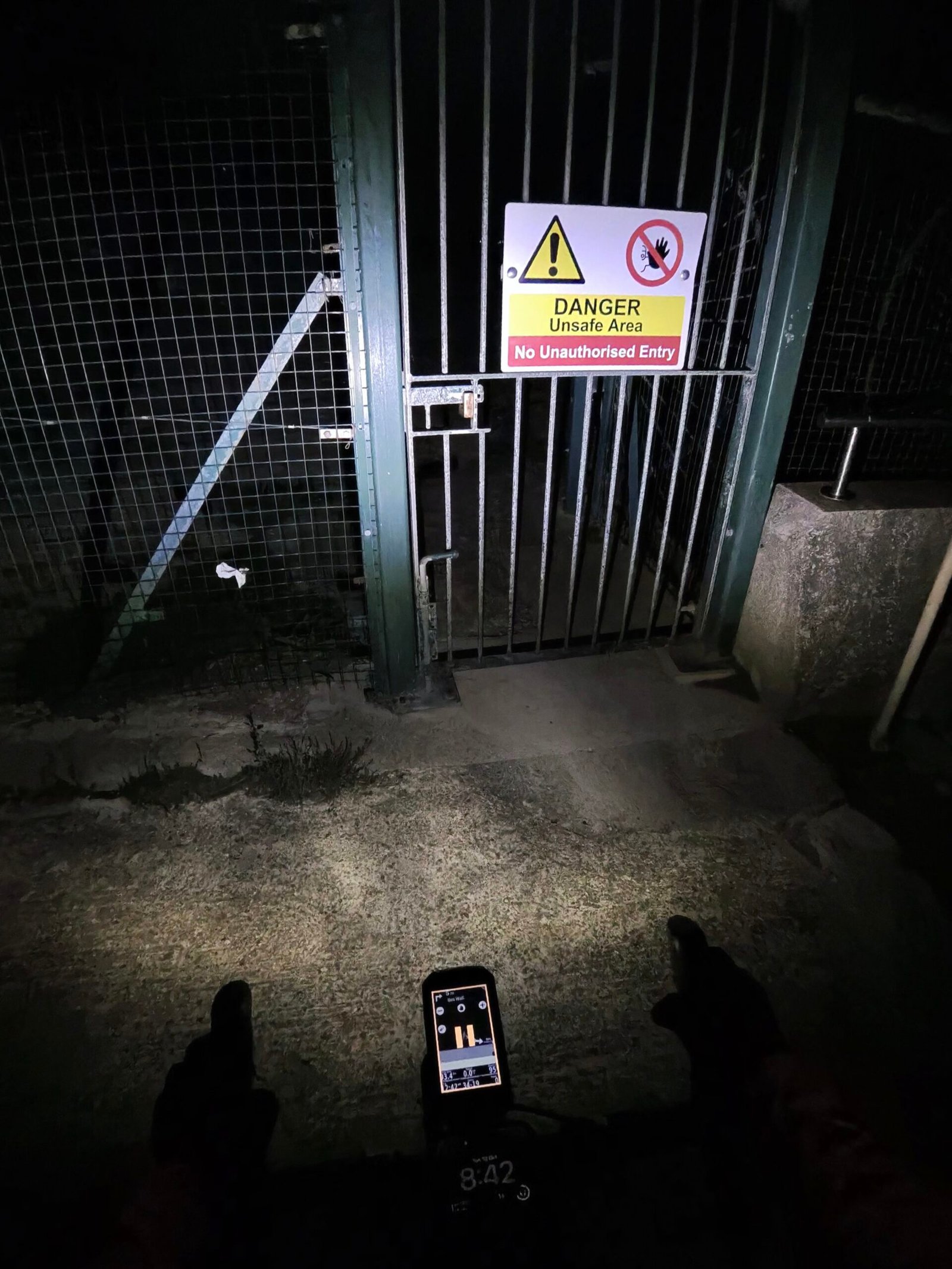
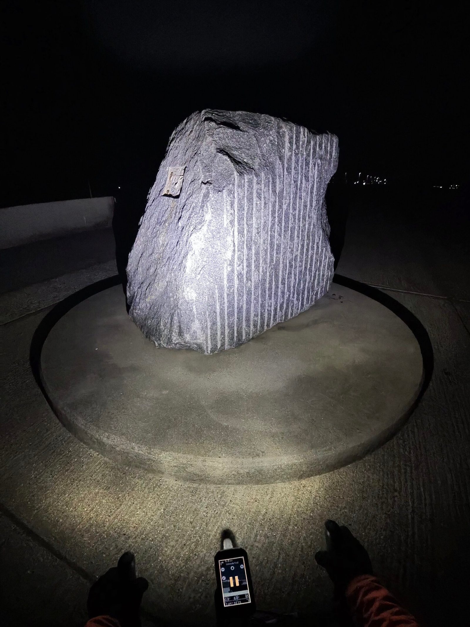
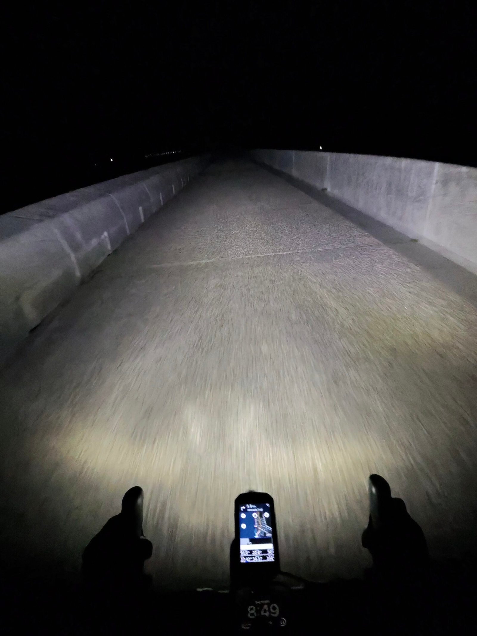
The sea wall at Dymchurch runs for 8.5 km, and I had my lights on every metre of it. A locked gate warned of an Unsafe Area, so that way was out, but the top of the wall was wide, smooth concrete, with a big striped stone on a plinth for company. Strava’s Sea Wall Sprint took me just under 22 minutes at an easy 128 W, which is about as far from a sprint as the name allows.
It wasn’t the evening’s only entertainment: at some point I also chased a badger and got it on camera.
Beyond the wall the coast road ran flat and straight, and the lights at the end of it slowly grew.
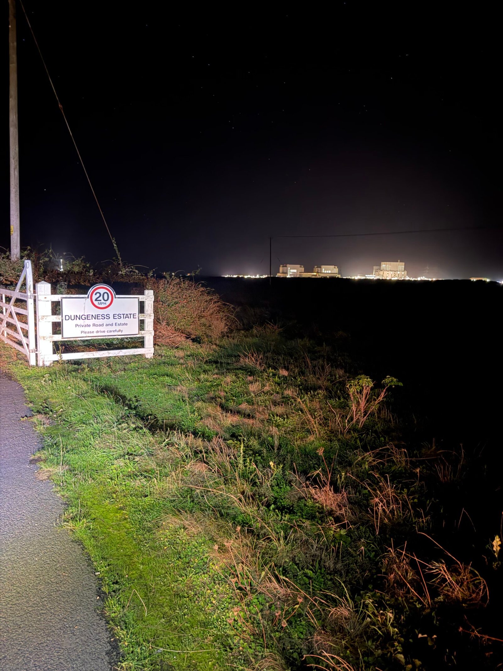
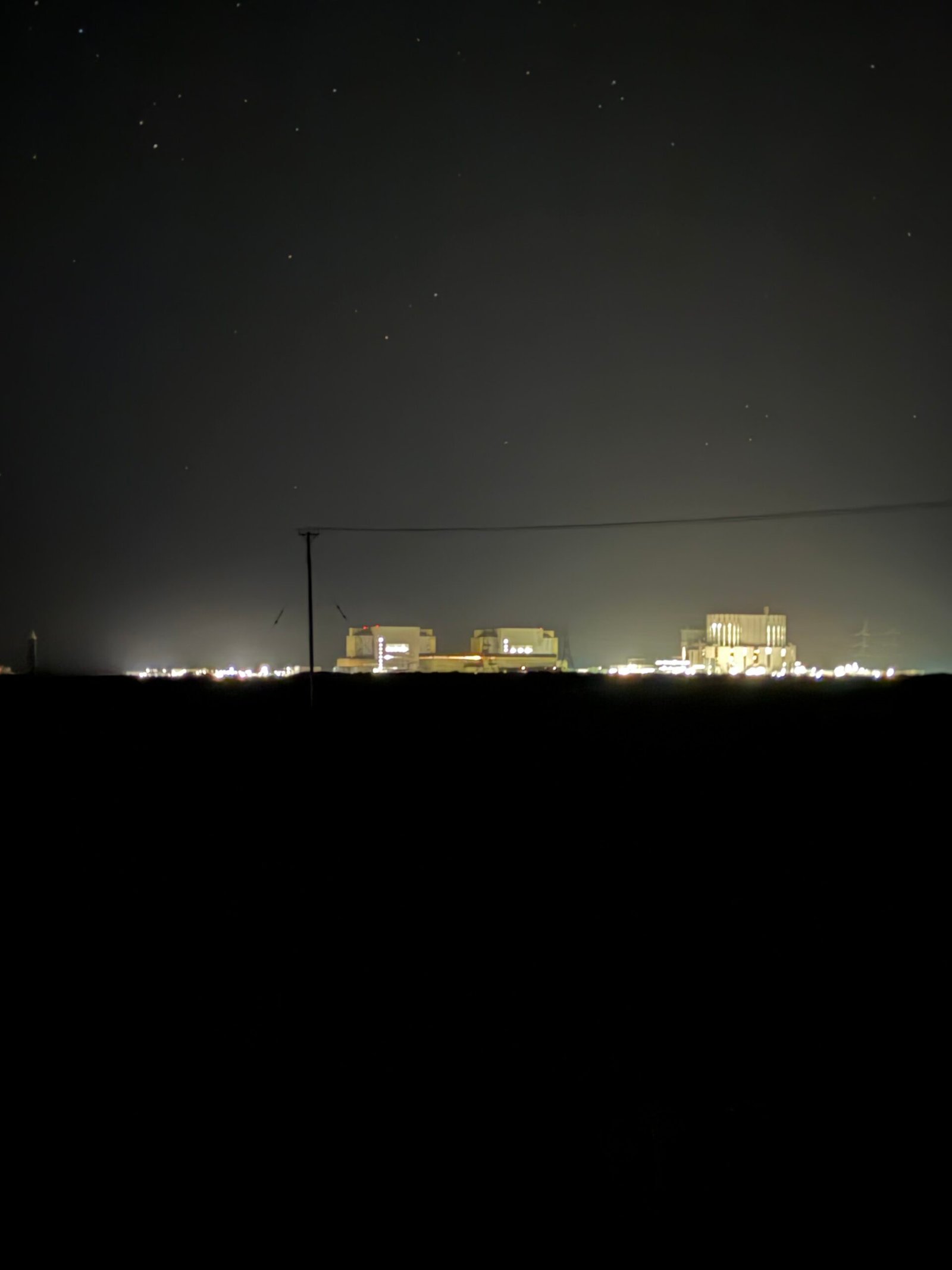
The sign for Dungeness told me I’d arrived, with the power station glowing out on the shingle beyond. Two days earlier I’d come past it the other way round on The Long Way Home, deep into 353 km. This time it was my turning point, 85 km in.
Then the wind wanted paying back. Across Romney Marsh the push became a shove in the chest, and the stretch that followed, with the climbs around Rye in it, was the slowest of the ride.
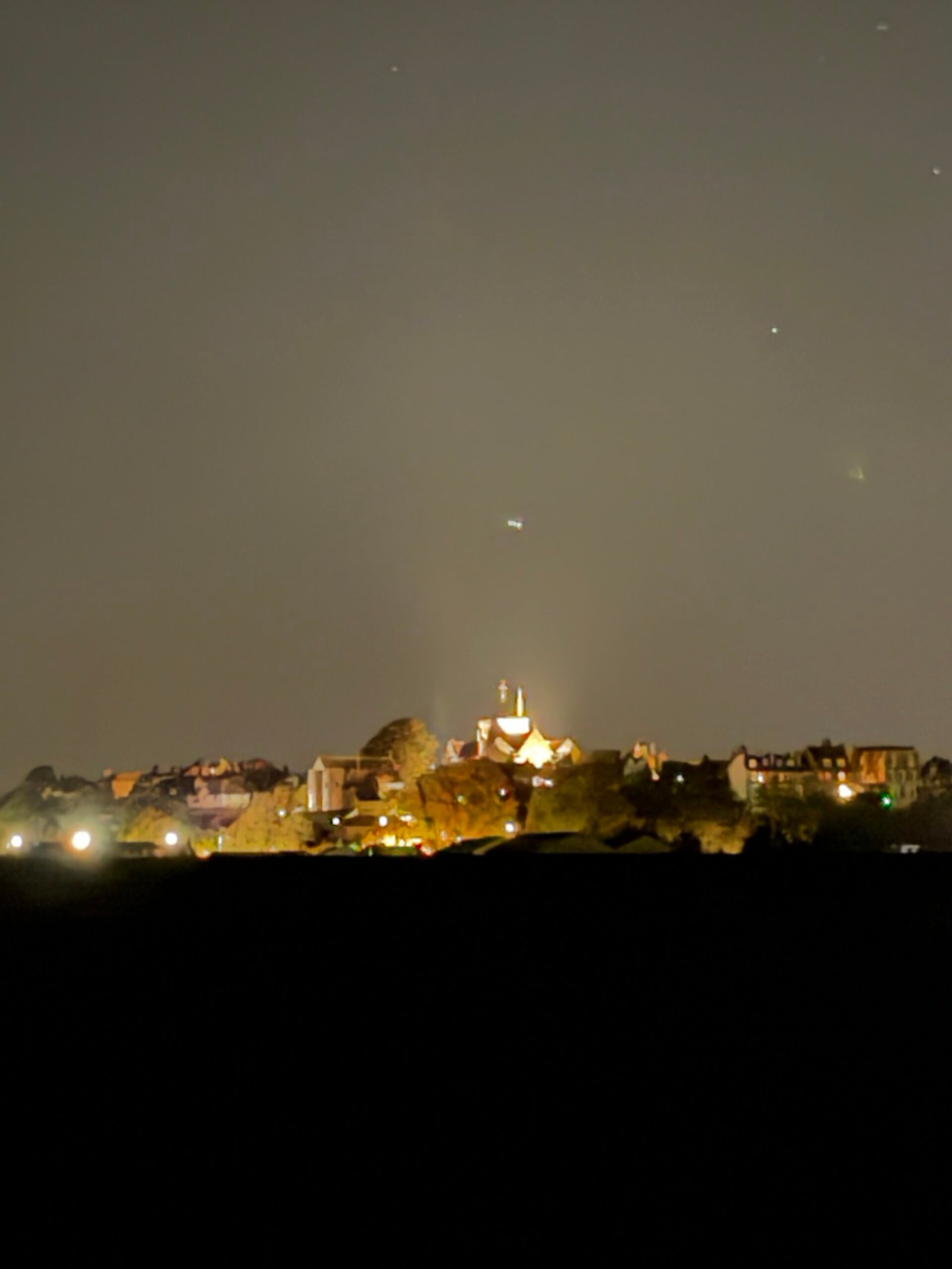
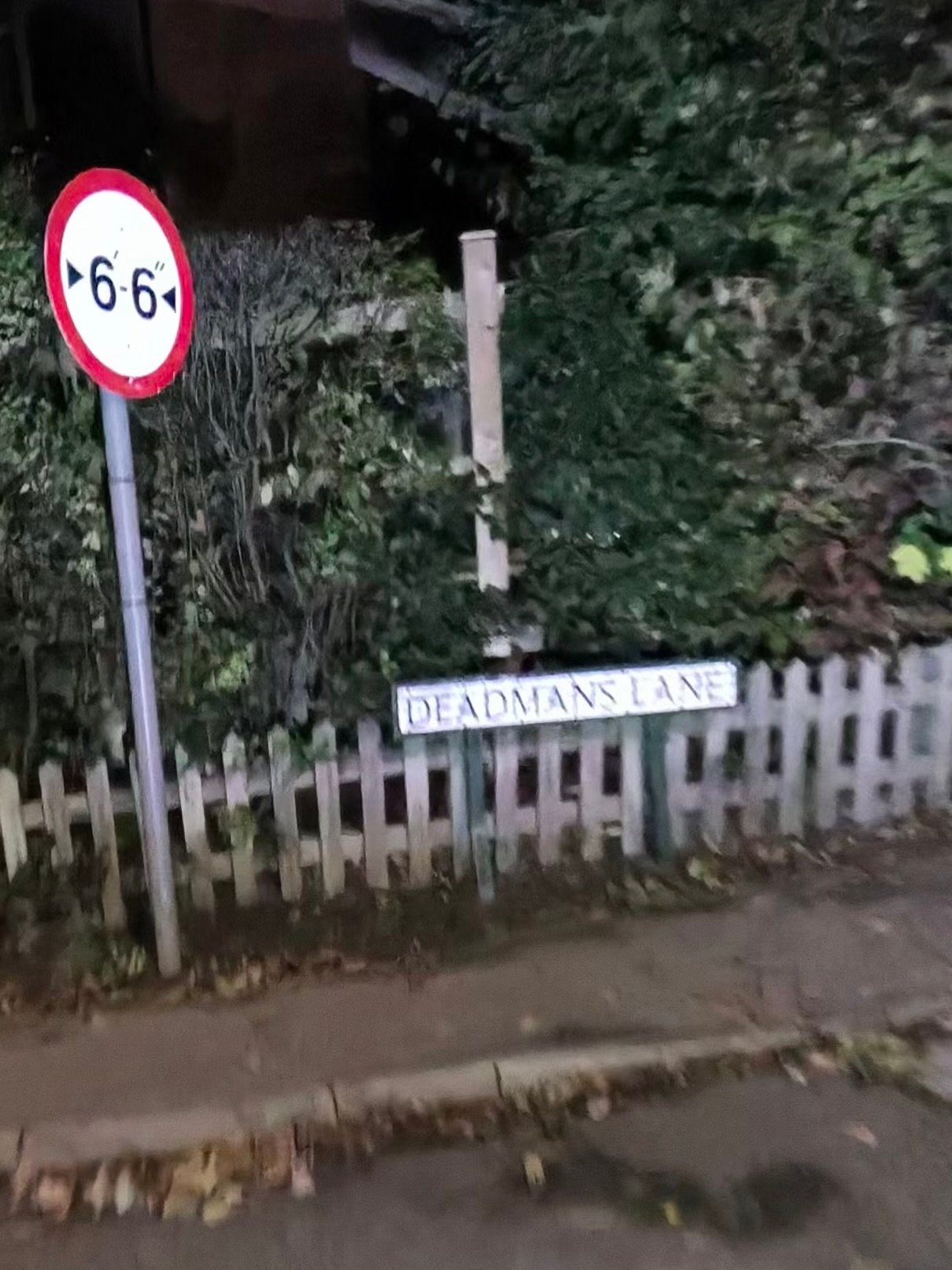
BJ’s on the Beach at Camber still had its shop lights on, and soon Rye stood lit up on its hill ahead, with the church at the top. The climb out went up Deadmans Lane, 44 m in 800 m at 211 W, past a sign limiting the lane to 6′6″ wide.
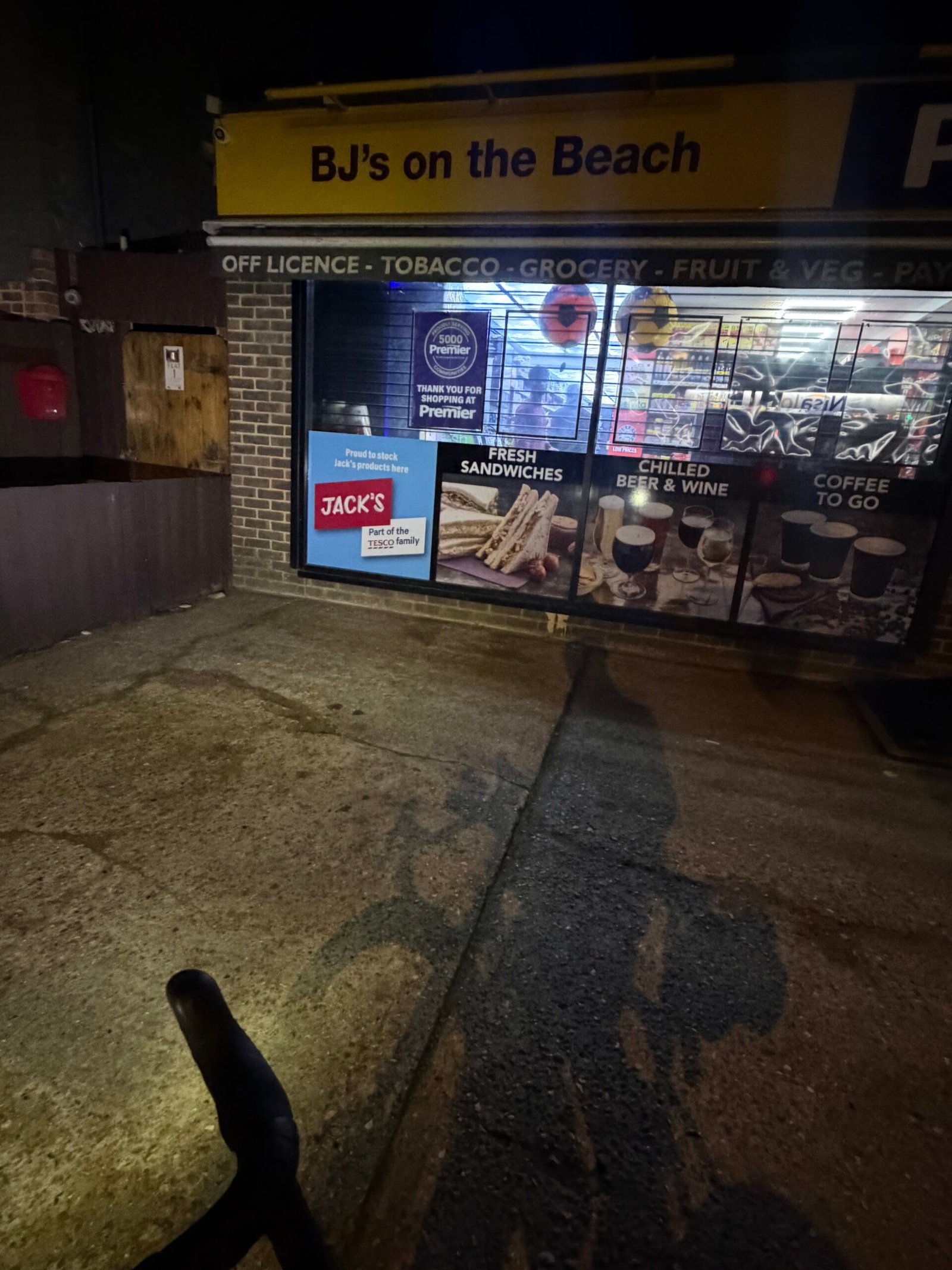
After that it was the long run home across the Weald, with a 24-minute stop at Staplehurst and on through Yalding. Just 188 vehicles passed me in all, a figure the next night’s spin, Eight Vehicles in the Dark, would make look like rush hour. Strava handed out 58 PRs for an average of 112 W, which seems generous. Barn Hill had the last word, 52 m in 630 m at 228 W, and I was home in the small hours with one good look at the sea wall in the dark.
The numbers
- Ride: #1115 on Strava, ride 244 of 2026, day 124 of the streak
- Distance: 162.9 km
- Moving time: 7:26:54 (9:03:00 elapsed)
- Elevation: 1,238 m
- Average power: 112 W
- Heart rate: 92 bpm average, 135 max
- Cadence: 84 rpm average
- Calories: 3,615 kcal
- Highlight (Strava segment): Charing Hill – through village – 1.40 km, 91 m, 6:30 at 242 W
- Conditions: low sun then dark, 19.6°C at the start, 52% humidity, westerly wind around 24 km/h
- Year to date: Distance 20,219 km, Elevation Gain 206,984 m
The route
● Favourite Garmin segment ● Shorter segment inside a longer one The numbers match the Segments table below. Hover over a segment for its time and rank; click or tap for a link to it on Garmin Connect.
Download the GPX (start and finish trimmed for privacy)
3 favourite Garmin segments. Best placed: Up Charing Hill from Pett Lane, 1.20 km at 6.4%, 13th of my 19 goes (from km 24). Time and power are from this ride; My rank places this ride among all my own goes at that segment. The numbers match the map, and each segment name links to Garmin Connect, where you can save it (you’ll need a Garmin account).
Segments table
| # | Segment | Starts at km | Length | Ascent | Avg grade | Time | Avg speed | Avg power | My rank | My best |
|---|---|---|---|---|---|---|---|---|---|---|
| 1 | Cock to Sutton Valence | 4.3 | 3.50 km | 19 m | 0.4% | 8:17 | 25.3 km/h | 181 W | 45 of 63 | 6:32 |
| 2 | Sutton Valence to Turn | 8.2 | 6.78 km | 33 m | -0.2% | 18:03 | 22.5 km/h | 188 W | 34 of 36 | 12:38 |
| 3 | Up Charing Hill from Pett Lane | 24.3 | 1.20 km | 77 m | 6.4% | 5:53 | 12.3 km/h | 240 W | 13 of 19 | 5:03 |
The profile and climbs
12 climbs: 1 Cat 4, 11 uncategorised. Biggest: 1.4 km at 6.5%, 89 m of climbing (Cat 4, from km 24). Together the climbs account for 434 m of the ride’s ascent. Garmin and Strava measure climbs and segments over their own start and finish points, so the figures here can differ from the Highlight above and from each other.
Cat 4 Uncategorised Pins mark where each Garmin ClimbPro climb starts. Hover or tap a pin for details.
Climbs table
| # | Climb | Category | Starts at km | Length | Ascent | Avg grade | Time | Avg speed | Avg power | My rank | My best |
|---|---|---|---|---|---|---|---|---|---|---|---|
| 1 | Charing Hill | Cat 4 | 24.0 | 1.36 km | 89 m | 6.5% | 6:22 | 12.8 km/h | 245 W | 13 of 19 | 5:23 |
| 2 | Brabourne Road | Uncategorised | 40.9 | 1.56 km | 49 m | 3.1% | 5:08 | 18.2 km/h | 201 W | 2 of 5 | 4:20 |
| 3 | Calleywell Lane | Uncategorised | 51.9 | 0.82 km | 28 m | 3.4% | 3:03 | 16.1 km/h | 202 W | 1 of 1 | 3:03 |
| 4 | Roman Road | Uncategorised | 53.8 | 0.73 km | 22 m | 3% | 2:36 | 16.8 km/h | 165 W | 3 of 3 | 2:02 |
| 5 | Rye Hill | Uncategorised | 105.3 | 1.18 km | 51 m | 4.3% | 5:25 | 13.0 km/h | 191 W | 1 of 1 | 5:25 |
| 6 | Iden Road | Uncategorised | 107.4 | 0.76 km | 22 m | 2.9% | 2:58 | 15.4 km/h | 153 W | 1 of 1 | 2:58 |
| 7 | Rye Road | Uncategorised | 111.5 | 1.00 km | 59 m | 5.8% | 4:50 | 12.4 km/h | 220 W | 1 of 2 | 4:50 |
| 8 | Maytham Road | Uncategorised | 119.0 | 0.59 km | 19 m | 3.2% | 2:02 | 17.4 km/h | 199 W | 1 of 1 | 2:02 |
| 9 | Maytham Road | Uncategorised | 121.2 | 1.04 km | 30 m | 2.9% | 3:39 | 17.1 km/h | 184 W | 1 of 1 | 3:39 |
| 10 | Benenden Road | Uncategorised | 124.6 | 0.58 km | 18 m | 3.2% | 1:51 | 18.7 km/h | 216 W | 1 of 1 | 1:51 |
| 11 | Chapel Lane | Uncategorised | 131.2 | 0.55 km | 24 m | 4.4% | 2:15 | 14.6 km/h | 195 W | 3 of 3 | 1:56 |
| 12 | Yalding Hill | Uncategorised | 157.6 | 0.82 km | 23 m | 2.7% | 3:07 | 15.8 km/h | 159 W | 9 of 9 | 2:21 |
My rank places this ride among my outdoor rides over the same climb on Garmin up to that day, matched by GPS, and My best is the fastest of them at the time. Time and speed include any stop on the climb.
Related
Related rides
- Colder and Darker to Rye: to Rye and back by Tenterden and the canal, a few days earlier
- Portsmouth and Back: 700 km and 20,000 km for the Year: the 706 km trip that came along this coast
Further reading
Dymchurch Wall, History of Romney Marsh: “the construction of one of the world’s great sea walls began”. It also explains the time capsule sealed inside one of the wall’s pillars until 2111.
Route D: Dover to Rye, Cycle Geography: “a fantastic stretch of cycling right along the coast to Dungeness”. The same wall in daylight, with the sights I rode past in the dark.
Every town, café, beach and landmark from my rides is collected on the Links page.