Only 16 and a half hours earlier I’d rolled in from the long way home from Portsmouth, the second half of 706 km in two days. The streak doesn’t care how far you rode yesterday, so out I went on a Monday night in October, with no plan beyond keeping it very easy. It was cloudy and close, nearly 17°C with 95% humidity and a light breeze from the south-south-west.
I went west along Heath Road through West Farleigh and over the top of Yalding Hill. Garmin confirms how little I was doing: Shingle Barn Belt went in 4:10, the slowest of my 28 goes. For once, that was exactly what I’d come out for.
Kenward Road was the first of Garmin’s two climbs, just over a kilometre at 3%, and I kept it to 144 W. Then Bow Hill took me down to Nettlestead and on south along the Maidstone Road. On Branbridges Road at East Peckham I stopped for 18 minutes before carrying on past Beltring.
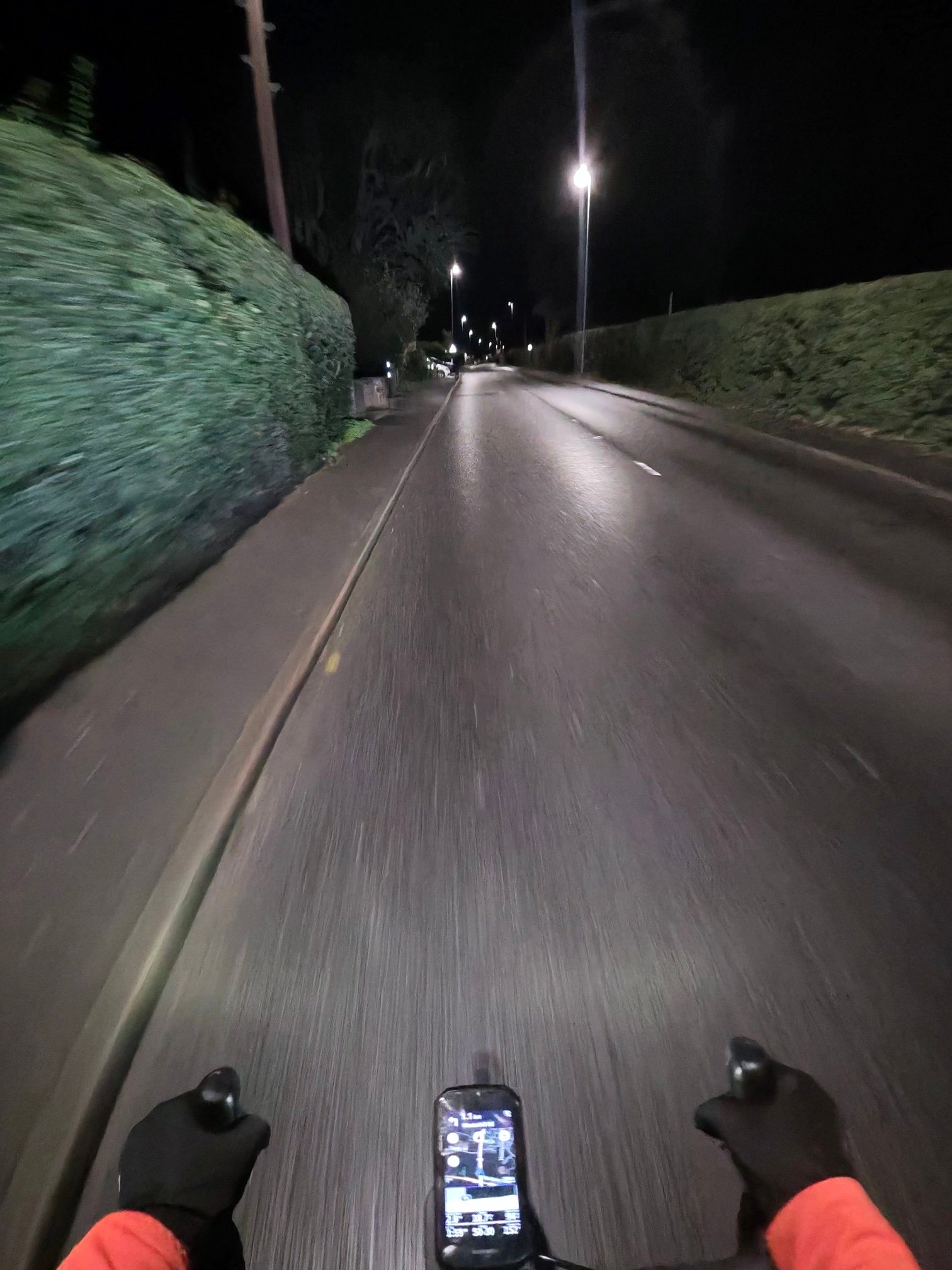
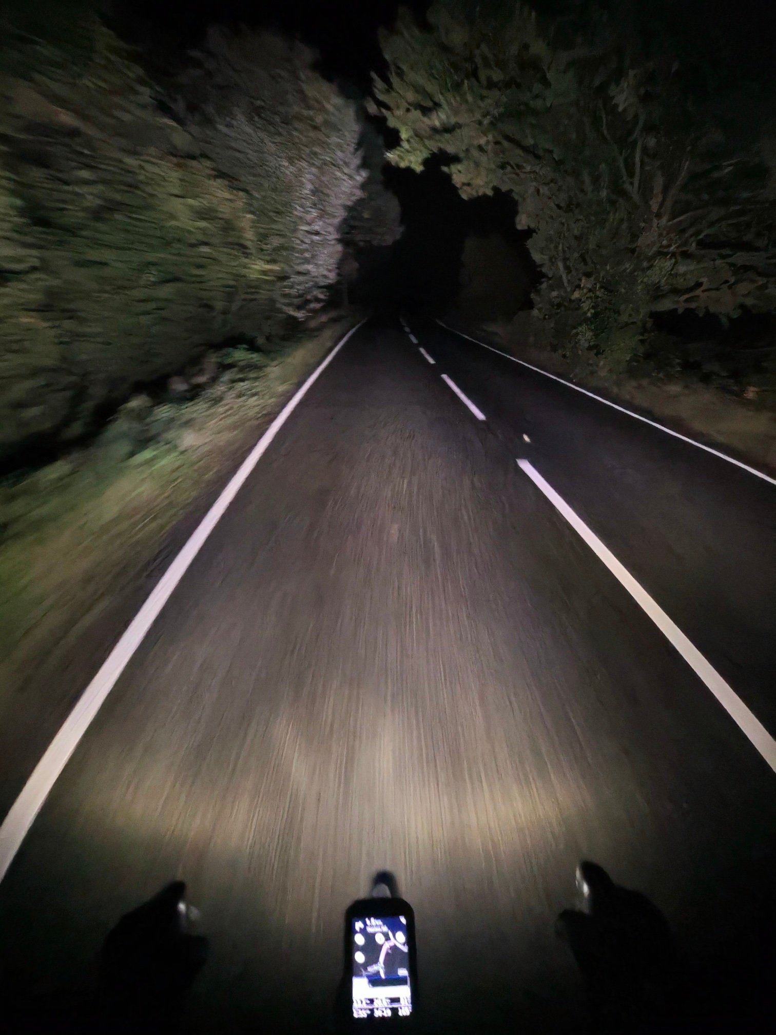
From there the road stays flat for the best part of 16 km: Lees Road back towards Yalding, Benover Road, then Collier Street and Green Lane, averaging around 90 W with my heart rate rarely out of the low 80s.
North of Marden I took Tilden Lane and Stilebridge Lane, still almost alone: just seven vehicles passed me in the whole ride.
Then came Lower Farm Road and Church Hill, the one climb with a category: 1.5 km at 5.8%, Cat 4. I went up it from Lower Farm Road in 8:27 at 199 W, which was as hard as the night got, with my heart rate touching 131. Two nights later, with 163 km to Dungeness in between, I rode much the same loop and came home nearly ten minutes quicker in moving time. This one averaged 93 W and a heart rate of 84, and Heath Road brought me home with day 123 in the book.
The numbers
- Ride: #1114 on Strava, ride 243 of 2026, day 123 of the streak
- Distance: 37.3 km
- Moving time: 1:54:32 (2:19:31 elapsed)
- Elevation: 252 m
- Average power: 93 W
- Heart rate: 84 bpm average, 131 max
- Cadence: 82 rpm average
- Calories: 798 kcal
- Highlight (Strava segment): Church Hill from Lower Farm Road – 1.73 km, 91 m, 8:27 at 199 W
- Conditions: dark, cloudy, 16.6°C, 95% humidity, light SSW wind
- Year to date: Distance 20,056 km, Elevation Gain 205,746 m
The route
● Favourite Garmin segment ● Shorter segment inside a longer one The numbers match the Segments table below. Hover over a segment for its time and rank; click or tap for a link to it on Garmin Connect.
Download the GPX (start and finish trimmed for privacy)
11 favourite Garmin segments. Best placed: Yalding to Pattenden Lane, 7.78 km at 0.1%, 5th of my 6 goes (from km 19). Time and power are from this ride; My rank places this ride among all my own goes at that segment. The numbers match the map, and each segment name links to Garmin Connect, where you can save it (you’ll need a Garmin account).
Segments table
| # | Segment | Starts at km | Length | Ascent | Avg grade | Time | Avg speed | Avg power | My rank | My best |
|---|---|---|---|---|---|---|---|---|---|---|
| 1 | B2163 from Hunton | 1.8 | 1.19 km | 0 m | -0.9% | 2:59 | 23.9 km/h | 105 W | 8 of 8 | 2:26 |
| 2 | Shingle Barn Belt | 3.3 | 1.43 km | 4 m | -0.4% | 4:10 | 20.7 km/h | 91 W | 28 of 28 | 2:32 |
| 3 | Yalding Hill Descent | 4.8 | 1.72 km | 2 m | -4.8% | 3:48 | 27.1 km/h | 89 W | 19 of 19 | 2:32 |
| 4 | Kenward Climb | 6.6 | 1.95 km | 38 m | 1.5% | 6:50 | 17.1 km/h | 147 W | 14 of 16 | 4:28 |
| 5 | Nettlestead Climb | 9.8 | 0.97 km | 22 m | 1.9% | 3:40 | 15.8 km/h | 164 W | 13 of 14 | 2:15 |
| 6 | Beltring 1.5m sprint out | 15.9 | 2.44 km | 12 m | 0% | 6:19 | 23.2 km/h | 138 W | 12 of 14 | 4:03 |
| 7 | Yalding to Pattenden Lane | 18.6 | 7.78 km | 24 m | 0.1% | 20:52 | 22.4 km/h | 151 W | 5 of 6 | 15:06 |
| 8 | Yalding to Collier St | 19.2 | 4.57 km | 17 m | 0.1% | 11:52 | 23.1 km/h | 158 W | 12 of 14 | 9:18 |
| 9 | Tilden Lane | 26.6 | 2.96 km | 13 m | 0% | 8:39 | 20.5 km/h | 133 W | 19 of 21 | 5:19 |
| 10 | Church Hill | 31.6 | 1.55 km | 81 m | 5.5% | 7:51 | 11.8 km/h | 224 W | 17 of 18 | 5:06 |
| 11 | Church Hill – the hard bit! | 32.5 | 0.74 km | 56 m | 7.5% | 4:24 | 10.1 km/h | 227 W | 22 of 24 | 2:55 |
The profile and climbs
2 climbs: 1 Cat 4, 1 uncategorised. Biggest: 1.5 km at 5.8%, 89 m of climbing (Cat 4, from km 32). Together the climbs account for 122 m of the ride’s ascent. Garmin and Strava measure climbs and segments over their own start and finish points, so the figures here can differ from the Highlight above and from each other.
Cat 4 Uncategorised Pins mark where each Garmin ClimbPro climb starts. Hover or tap a pin for details.
Climbs table
| # | Climb | Category | Starts at km | Length | Ascent | Avg grade | Time | Avg speed | Avg power | My rank | My best |
|---|---|---|---|---|---|---|---|---|---|---|---|
| 1 | Kenward Road | Uncategorised | 7.5 | 1.09 km | 33 m | 3% | 4:28 | 14.7 km/h | 144 W | 14 of 14 | 2:48 |
| 2 | Church Hill | Cat 4 | 31.7 | 1.52 km | 89 m | 5.8% | 7:39 | 11.9 km/h | 210 W | 15 of 16 | 5:05 |
My rank places this ride among my outdoor rides over the same climb on Garmin up to that day, matched by GPS, and My best is the fastest of them at the time. Time and speed include any stop on the climb.
Related
Related rides
- Portsmouth and Back: 700 km and 20,000 km for the Year: the whole 706 km in one post
- Midnight on Church Hill: a third-best time up Church Hill, two weeks later
Further reading
Oasts and hop kilns. A History., Patrick Grattan: “distinctive feature of the landscape of South East England”. How oasts and hop kilns developed over about 450 years, from a survey begun in 1960.
Every town, café, beach and landmark from my rides is collected on the Links page.