Nine days, nine rides, all from the same base in Silves. Between 6 and 14 September I rode every day of the trip, days 87 to 95 of my streak, and by the end Strava’s totals read 1,545.6 km, 18,983 m of climbing and just over three days and 21 hours out on the road, stops included. The day posts tell each ride’s story; this one puts them all on one map, to see how much of the Algarve I actually covered.
Where I rode
The darker line is the Algarve’s boundary. Each ride’s first and last 800 m are trimmed for privacy. Boundaries: CAOP, Direção-Geral do Território.
The first day pointed west, to the lighthouse at Cabo de São Vicente, where mainland Europe runs out. The second went back to the Atlantic over the Monchique foothills, through cork oaks, turbines and cobbles, and the third was a so-called rest day that found the climb to Alto da Picota and a bike café in Alte. Day four was the long haul east: 256 km along the coast to the Spanish border at Vila Real de Santo António, and home through the empty hills above Castro Marim.
Day five took in Silves Castle, the climbs to Alferce and the beach at Carvoeiro. Day six was the biggest of the lot: 263 km and 43 climbs over Monchique to Aljezur and back, the day the year ticked past 17,000 km. After a beach spin to Alvor on day seven, day eight went over Fóia, at 902 m the highest point in the Algarve and the trip’s only HC climb, and north into the Alentejo through Ourique and Castro Verde. Day nine finished things off with five beaches in a day, from Quarteira to Carvoeiro.
Laid on one map, the routes cover more of the Algarve than I’d realised. I rode through 15 of its 16 municipalities; only Alcoutim, tucked away in the north-east corner along the Guadiana, escaped. Nearly three-quarters of the region lies within 5 km of a road I rode, and half of it within 2 km. Silves saw the most of me, about 374 km, with Monchique next on about 210 km. Around 173 km were outside the Algarve altogether, in the Alentejo: a stretch through Odemira on day six, and more than half of the Fóia day.
Garmin’s ClimbPro counted 188 climbs over the nine days, with one HC, one Cat 2, seven Cat 3s and 24 Cat 4s among them, and by its reckoning I sweated out around 45 litres getting over them. The jerseys added their own commentary: the Maglia Azzurra at the lighthouse and the Faro sign, the Maglia Ciclamino in Portimão and the Maglia Rosa on top of Fóia. Nine days, not one of them a real rest day, and a fair slice of the Algarve seen from the saddle.
One photo from each day
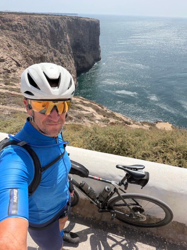
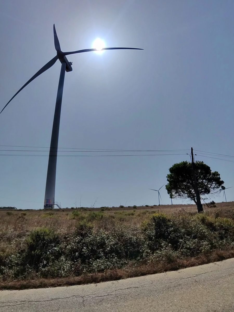
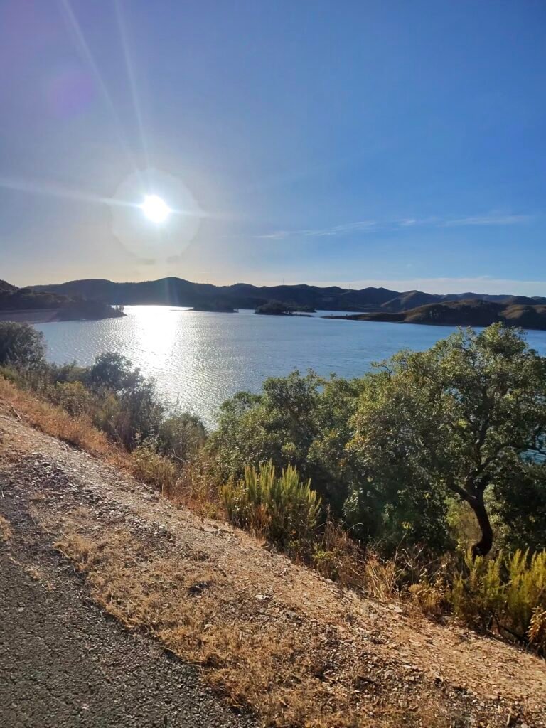


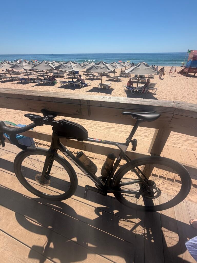

Day by day
| Day | Date | Ride | Distance | Climbing | Garmin climbs |
|---|---|---|---|---|---|
| 1 | 6 Sep | To the Edge of Europe | 164.7 km | 1,758 m | 18 |
| 2 | 7 Sep | Cork Trees, Turbines and Cobbles | 214.8 km | 2,392 m | 27 (2 Cat 3) |
| 3 | 8 Sep | A Rest Day in the Hills | 117.6 km | 1,541 m | 20 (3 Cat 4) |
| 4 | 9 Sep | To the Spanish Border and Back | 255.8 km | 2,625 m | 25 (7 Cat 4) |
| 5 | 10 Sep | Castle, Climbs and Carvoeiro | 121.3 km | 1,857 m | 20 (2 Cat 3, 4 Cat 4) |
| 6 | 11 Sep | Forty-Three Climbs | 263.1 km | 3,952 m | 43 (1 Cat 2, 2 Cat 3, 6 Cat 4) |
| 7 | 12 Sep | A Rest-Day Spin to Alvor | 72.8 km | 640 m | 10 |
| 8 | 13 Sep | Over Fóia to the Alentejo | 224.5 km | 3,106 m | 17 (1 HC, 1 Cat 3, 2 Cat 4) |
| 9 | 14 Sep | Five Beaches in a Day | 111.1 km | 1,112 m | 8 (2 Cat 4) |
| Total | 9 rides | 1,545.6 km | 18,983 m | 188 |
The numbers
- Rides: 9 in 9 days, #1078 to #1086 on Strava, days 87 to 95 of the streak
- Distance: 1,545.6 km (about 1,373 km in the Algarve and 173 km in the Alentejo)
- Moving time: 69:45:51 (3 d 21 h 04 m elapsed)
- Elevation: 18,983 m
- Climbs: 188 Garmin ClimbPro climbs: 1 HC, 1 Cat 2, 7 Cat 3, 24 Cat 4, 155 uncategorised
- Biggest climb: Subida da Fóia (EN266), HC – 16.28 km, 770 m, 1:09:28 at 235 W (day 8)
- Longest day: 263.1 km and 3,952 m (day 6)
- Calories: 37,870 kcal
- Coverage: 15 of the Algarve’s 16 municipalities; about 73% of the region within 5 km of my route
- Year to date: Distance 17,602 km, Elevation Gain 185,974 m