It was just after half past midnight when I rolled out, only an hour and a half after getting off the bike from an evening spin to Marden. I was off to visit my son at the University of Portsmouth, which was a good enough reason to ride there, and with my best distance stuck at 305.6 km since my Kent coastline ride in June 2025, I took the long way. A very long way: my first move was east.
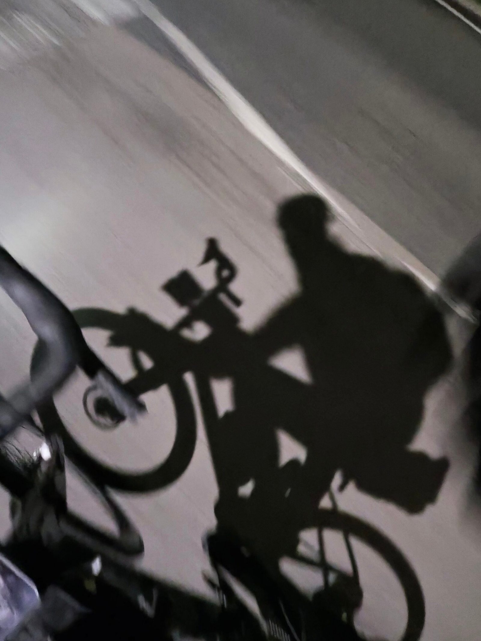
It was clear and about 10°C with next to no wind as I went through Headcorn and Biddenden to Tenterden, where my shadow kept me company along the High Street. I was 29 km in and further from Portsmouth than when I’d started.
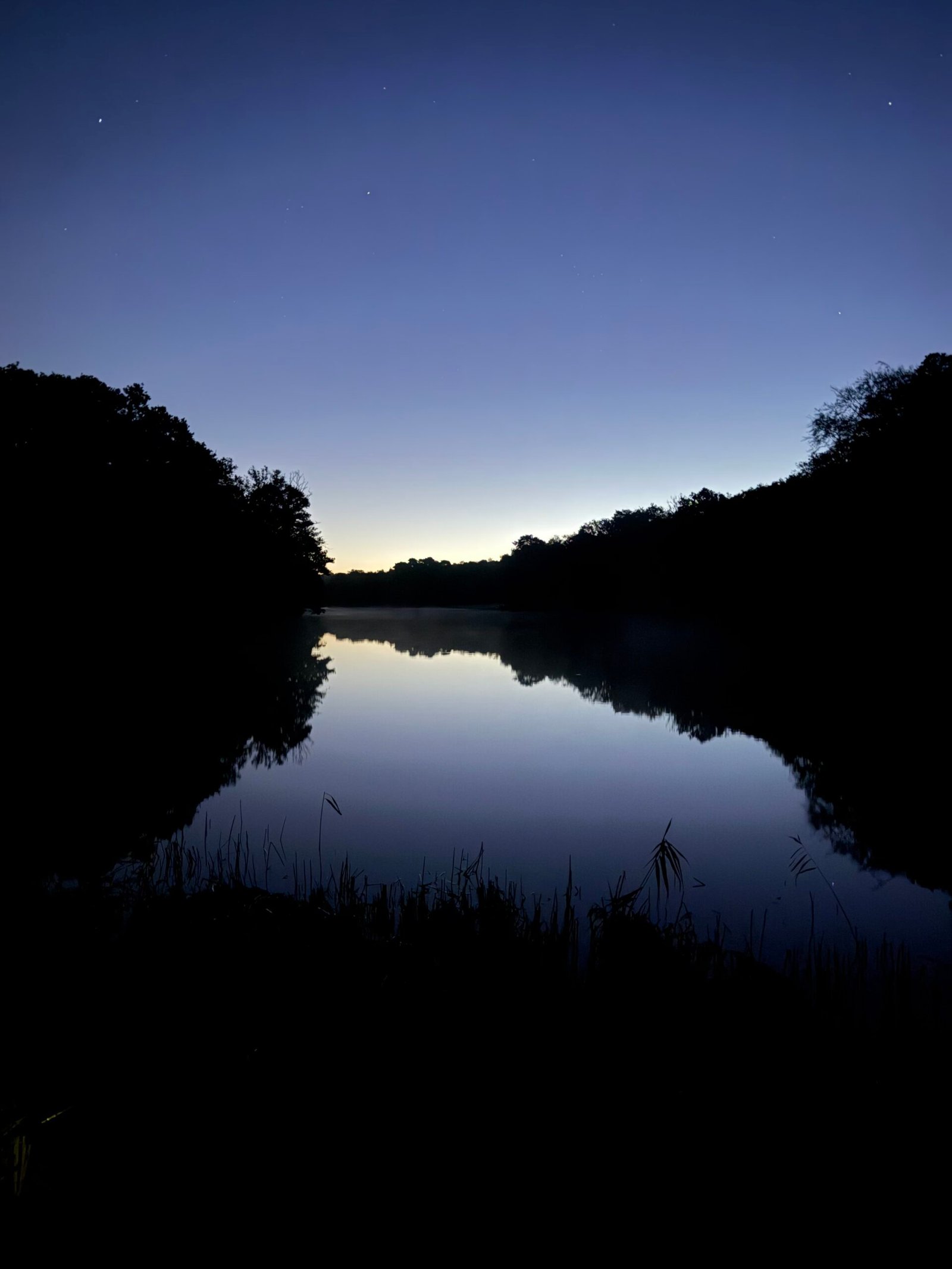
Then I finally turned west, through Benenden, Tunbridge Wells, Groombridge and Hartfield, picking up personal bests in the dark. After a pause in East Grinstead just before five came Turners Hill and Handcross, and the first light of the day found me beside one of the Hammer Ponds in St Leonard’s Forest, the sky turning orange behind perfectly still water.
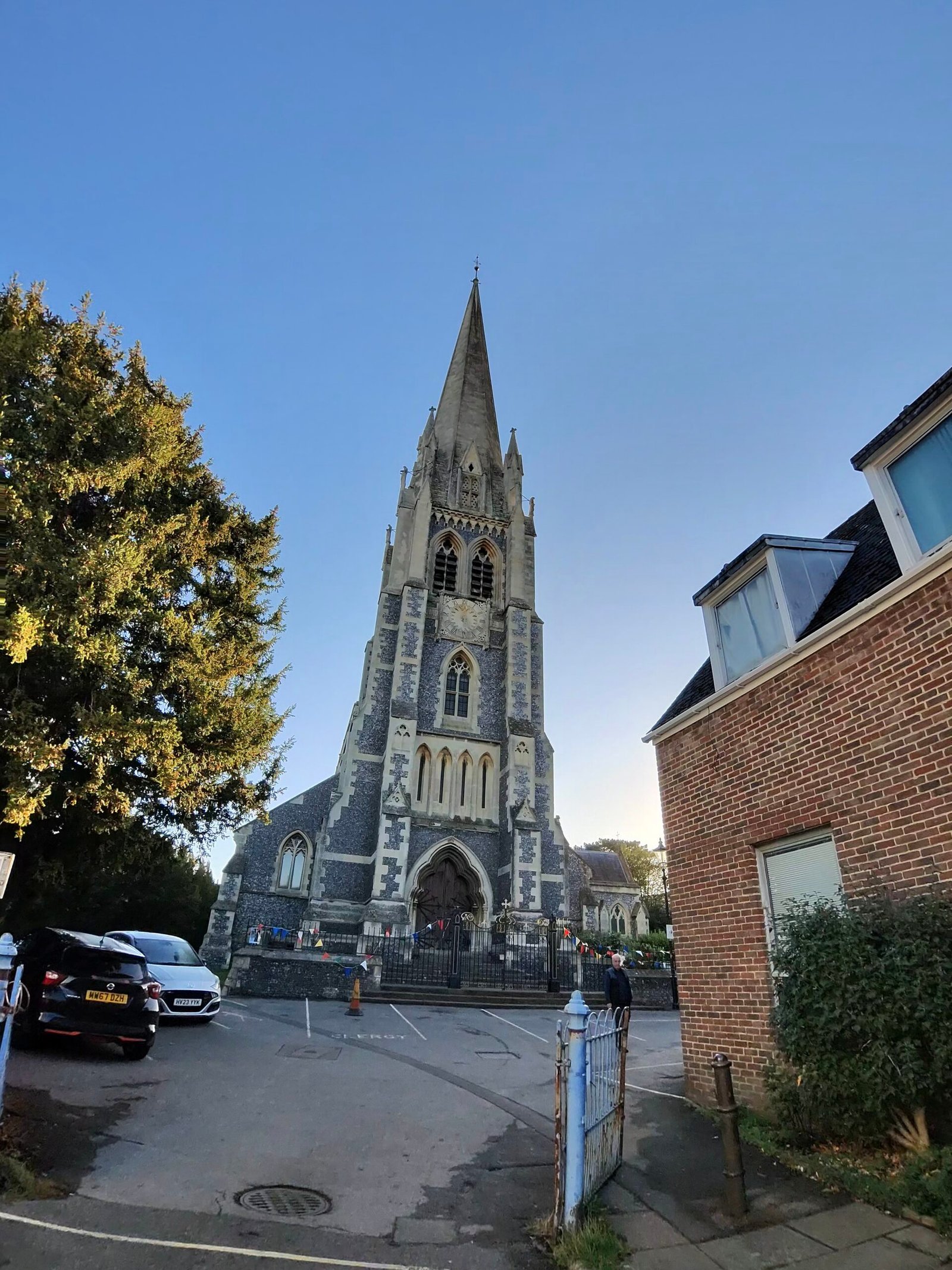
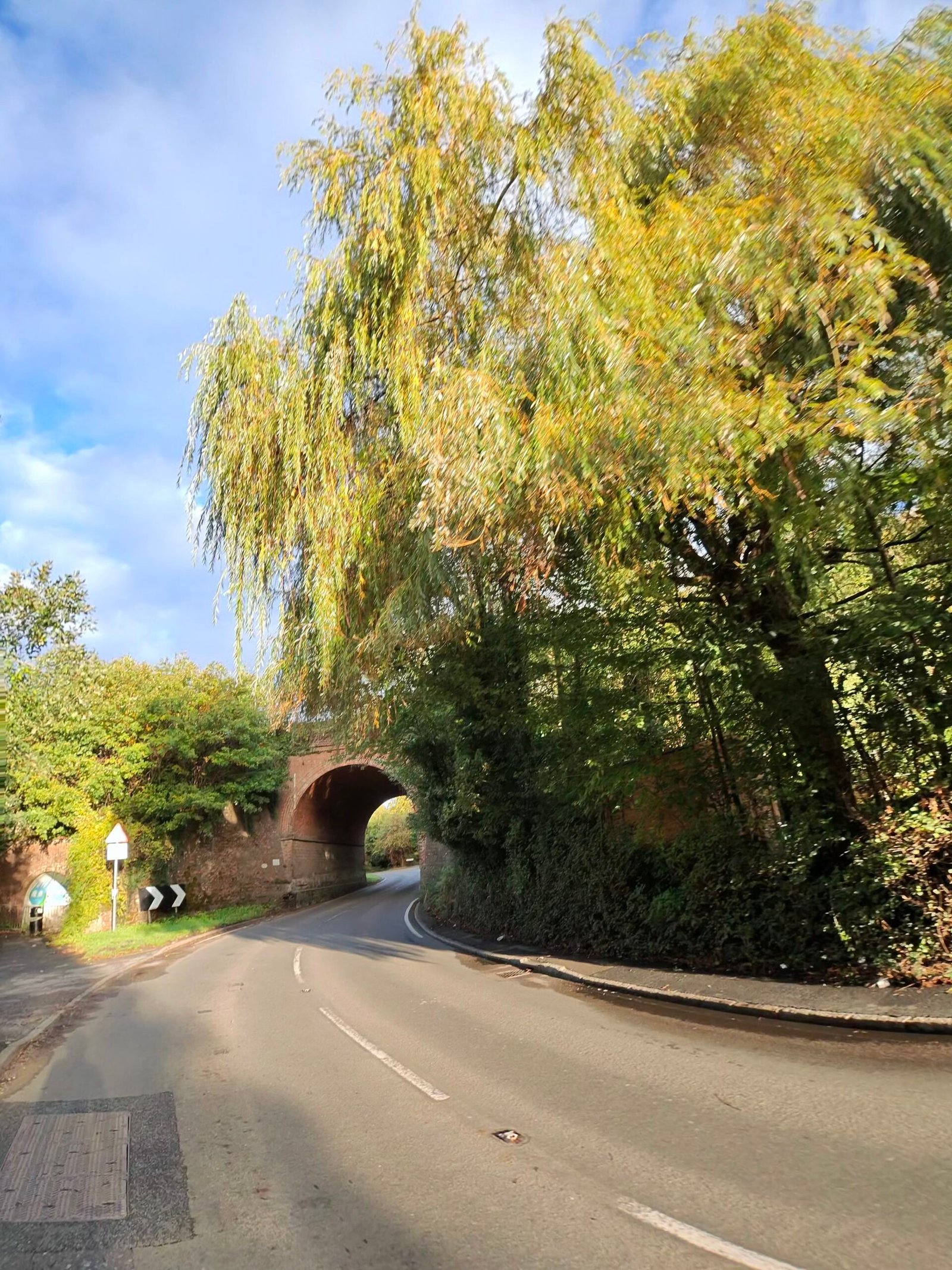
By half past seven I was in Dorking, where I stopped for just over half an hour before setting off past St Martin’s Church under a clear blue sky. From there it was into the Surrey Hills: under the railway at Gomshall, past the war memorial near Albury and up Newlands Corner, the first climb of the day that Garmin thought worth a category.
Guildford and the Hog’s Back followed, with a blaze of red creeper at Compton and heathland through Puttenham to Seale, and then Farnham on a Saturday morning.
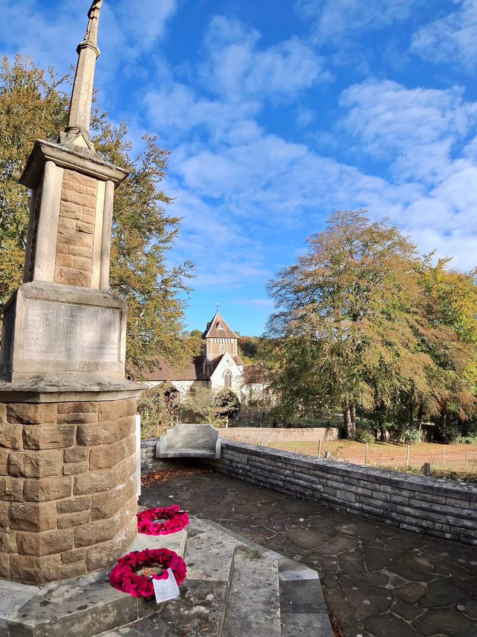
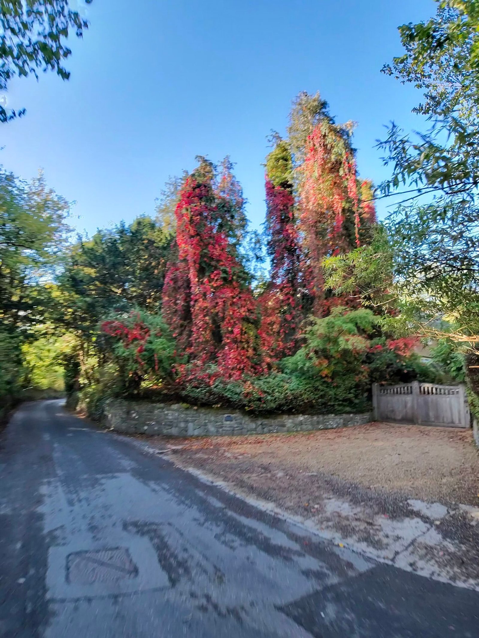
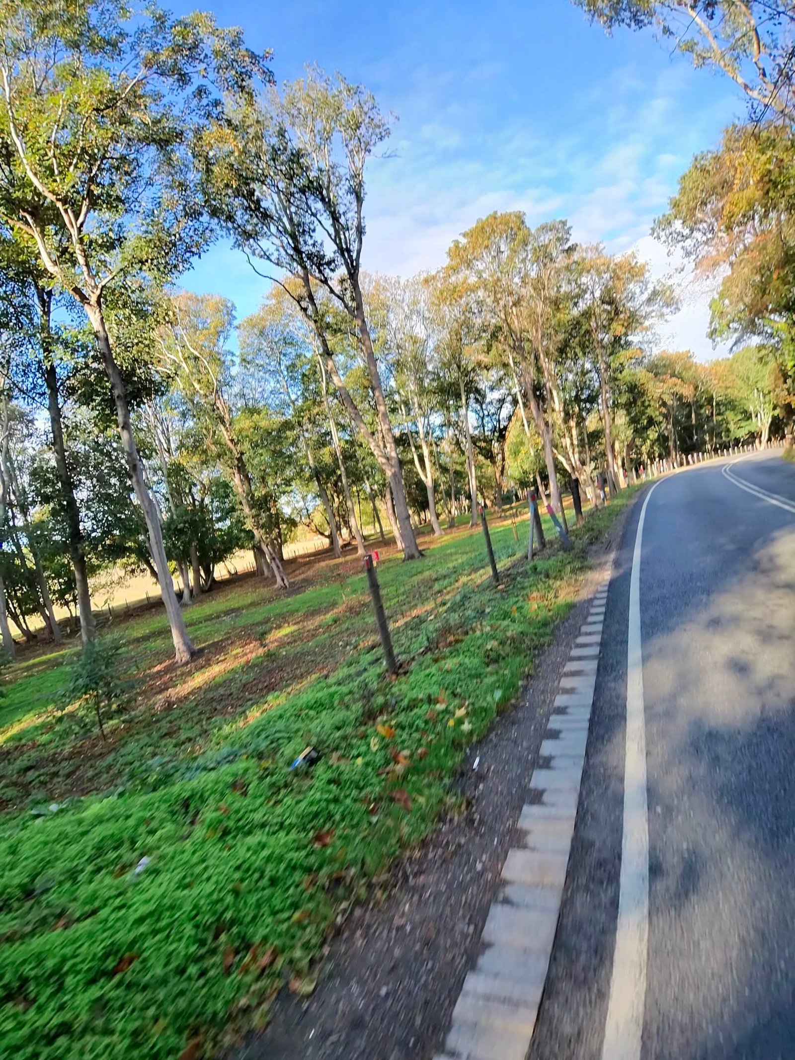
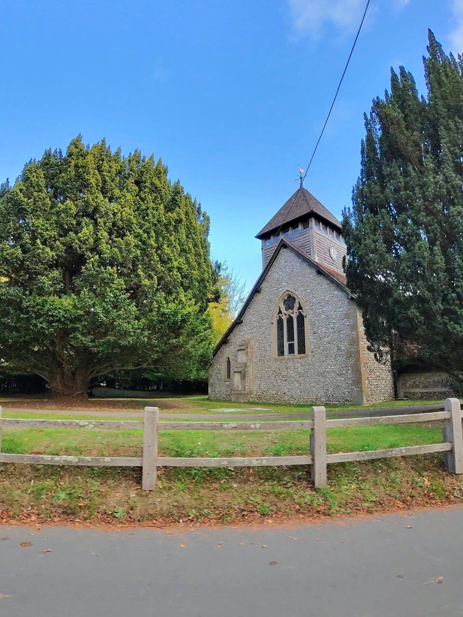
Alton was the next real stop, nearly 50 minutes just before noon. Straight after it came the biggest climb of the ride, the long drag up Medstead Road, 104 m over 2.6 km by Garmin’s reckoning. It isn’t steep, but 200 km into a day it didn’t need to be.
The lanes beyond it were lovely, through Bighton and Ovington to Avington under big skies. At half past one I reached Winchester, and the Guildhall was the backdrop to another half-hour stop.
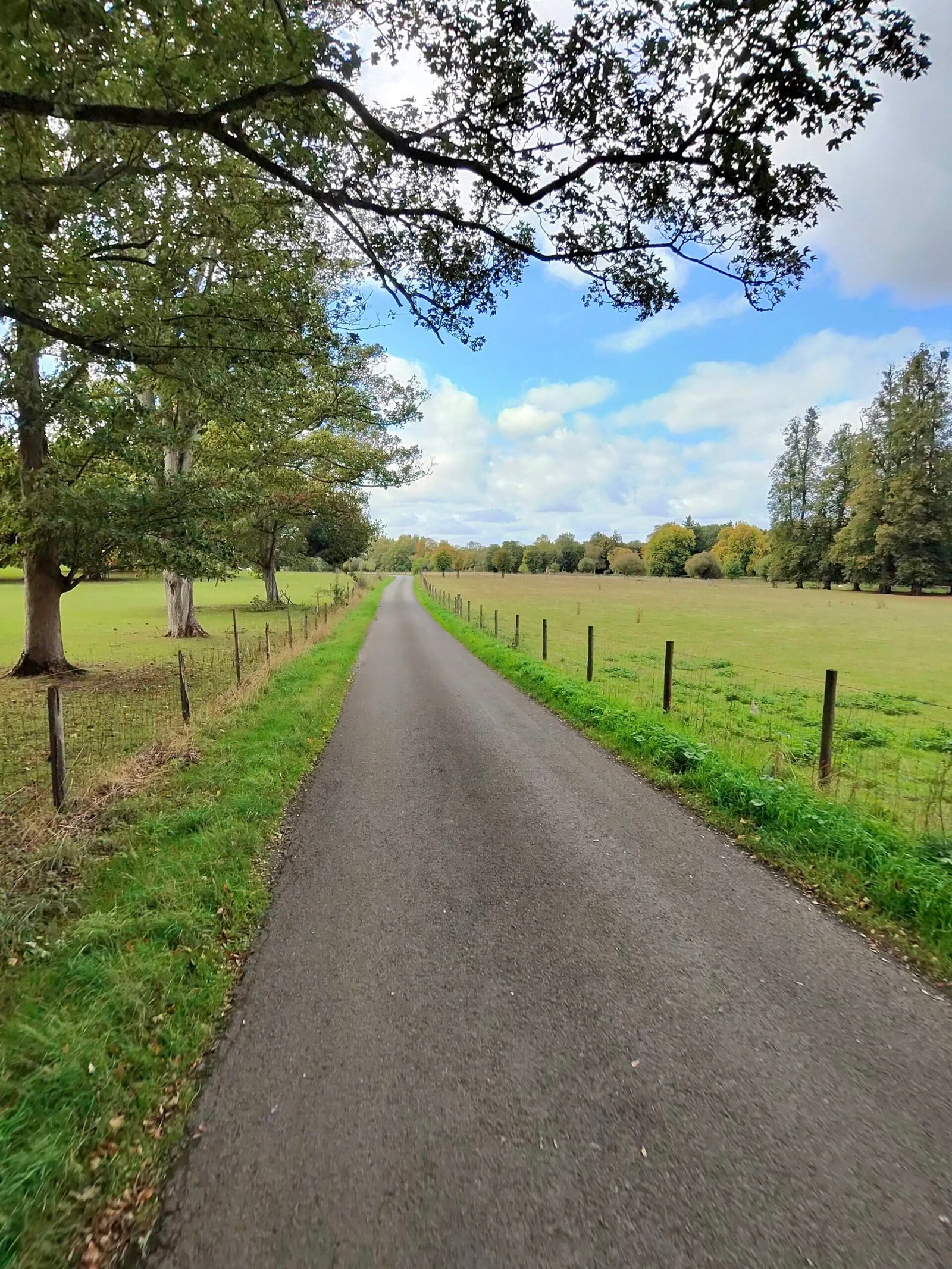
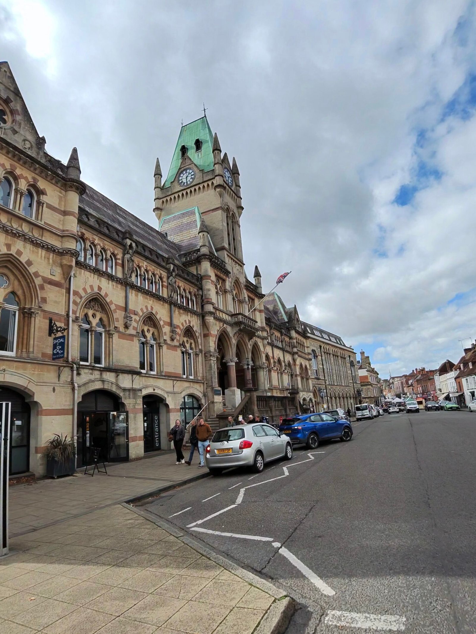
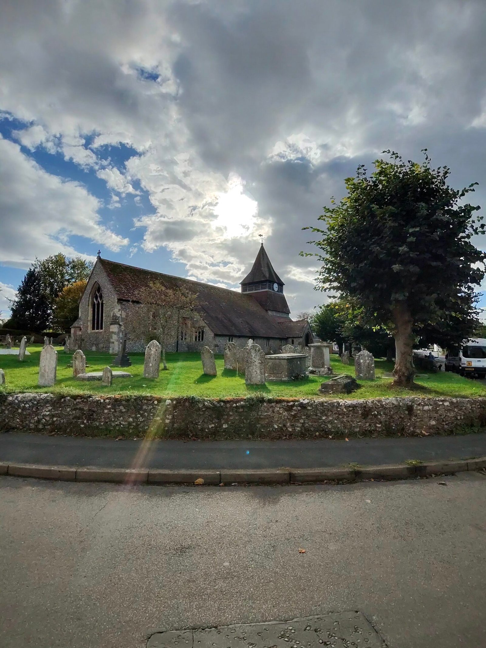
The afternoon took me past Stockbridge and the church at King’s Somborne, up Furzedown Hill and on through Braishfield and Romsey into the New Forest. I went through Lyndhurst and Brockenhurst and right down to Lymington, 291 km in, with the old record now close enough to count down.
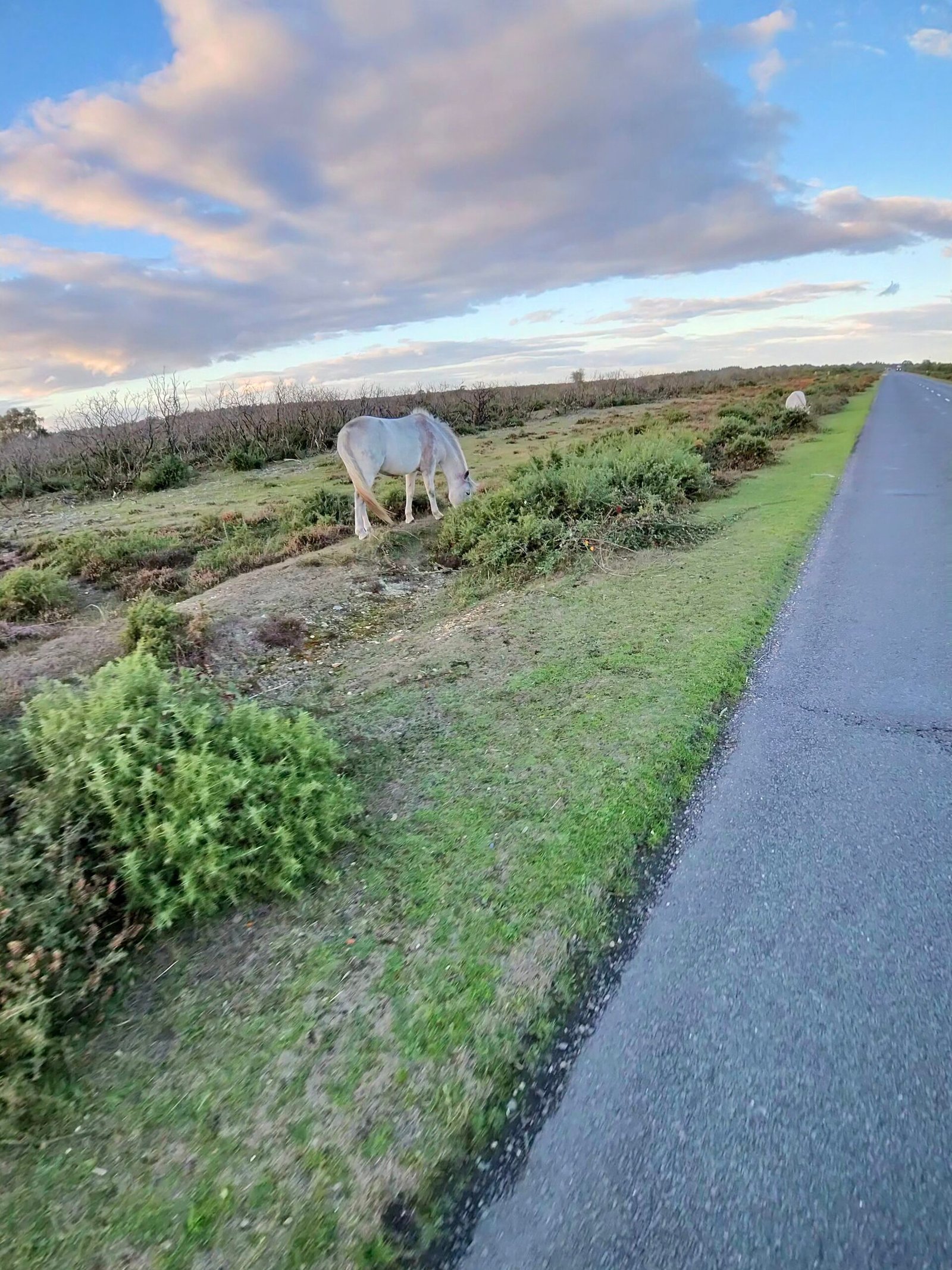
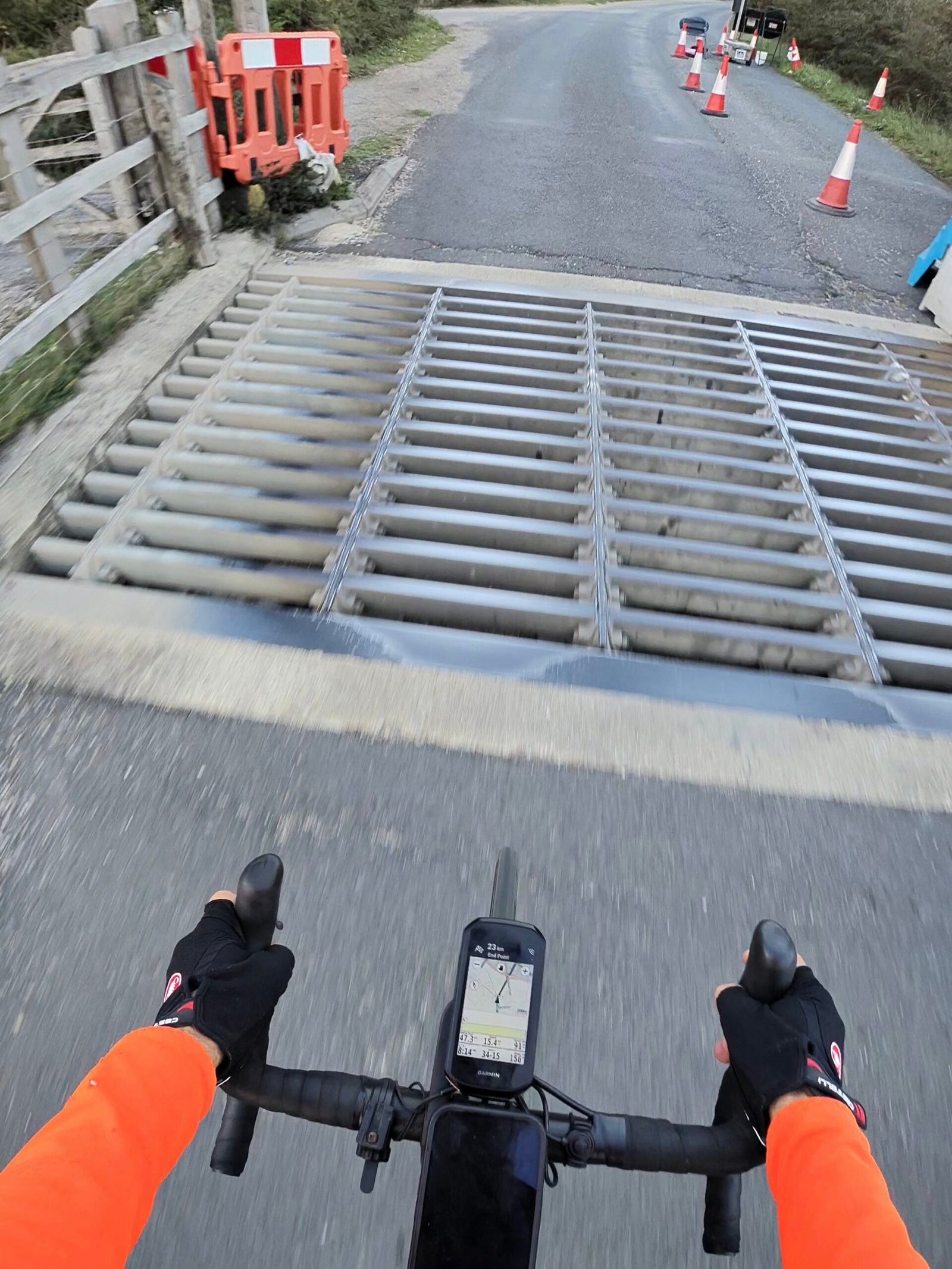
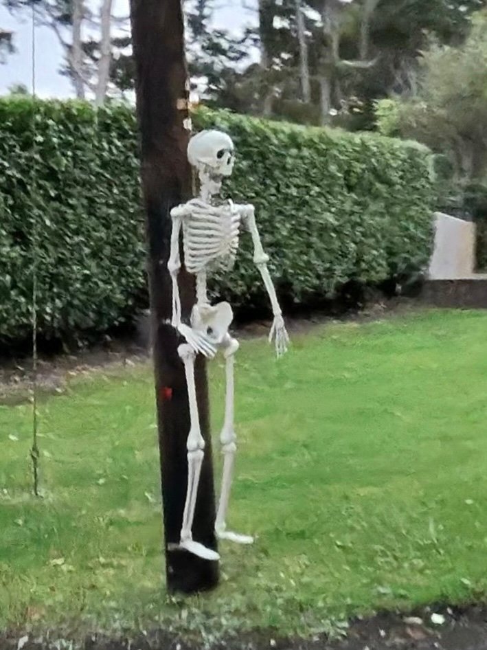
Ponies were out on Beaulieu Heath as the sun dropped, and I passed my old best at about six, around the cattle grid and roadworks at Dibden Purlieu. Someone near Hythe already had a skeleton up for Halloween. Dusk came quickly after that: boats at Eling, then the docks lit up across the Test from Totton.
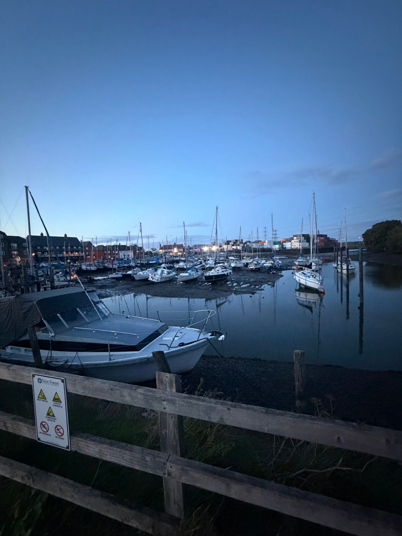
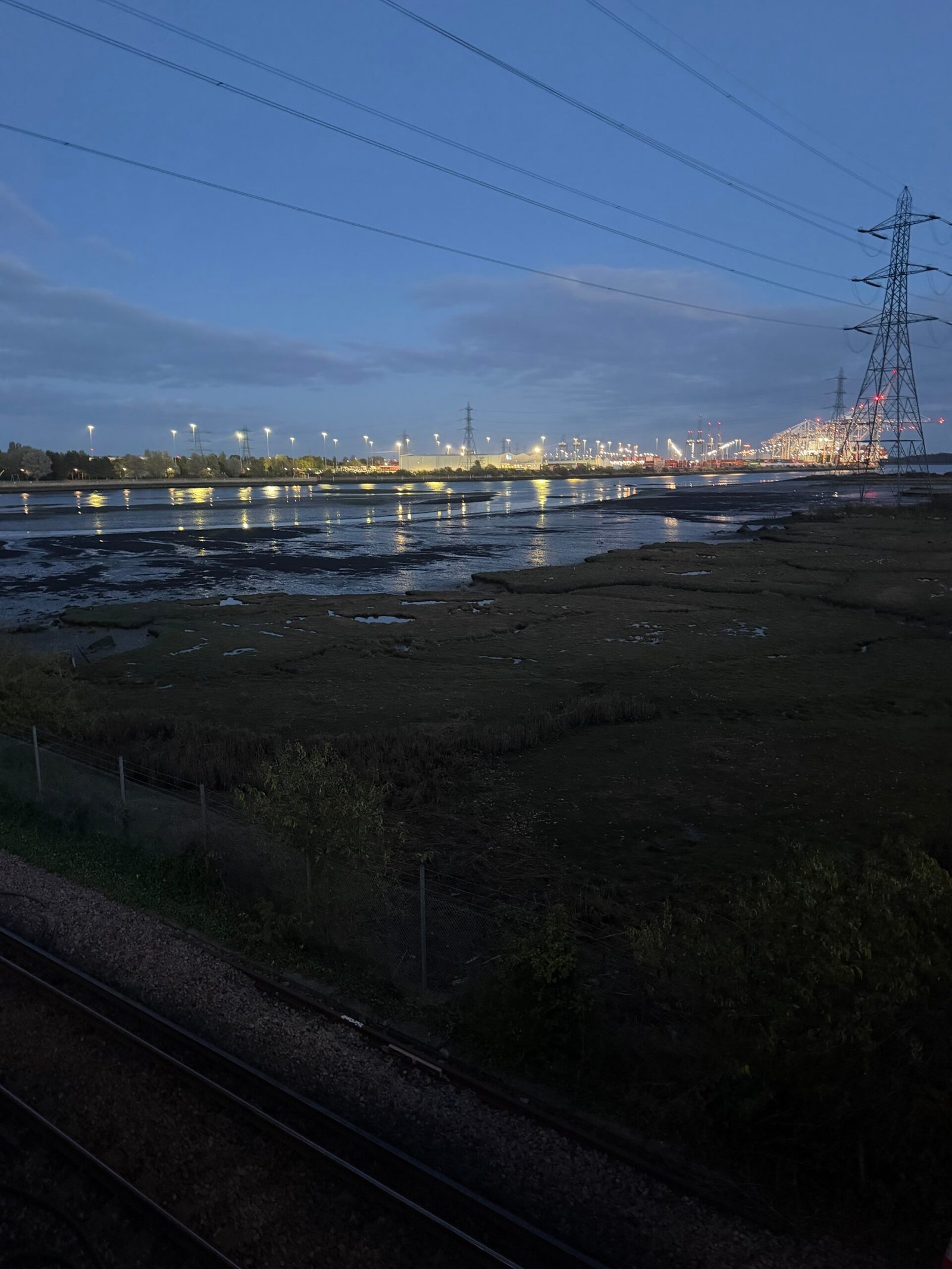
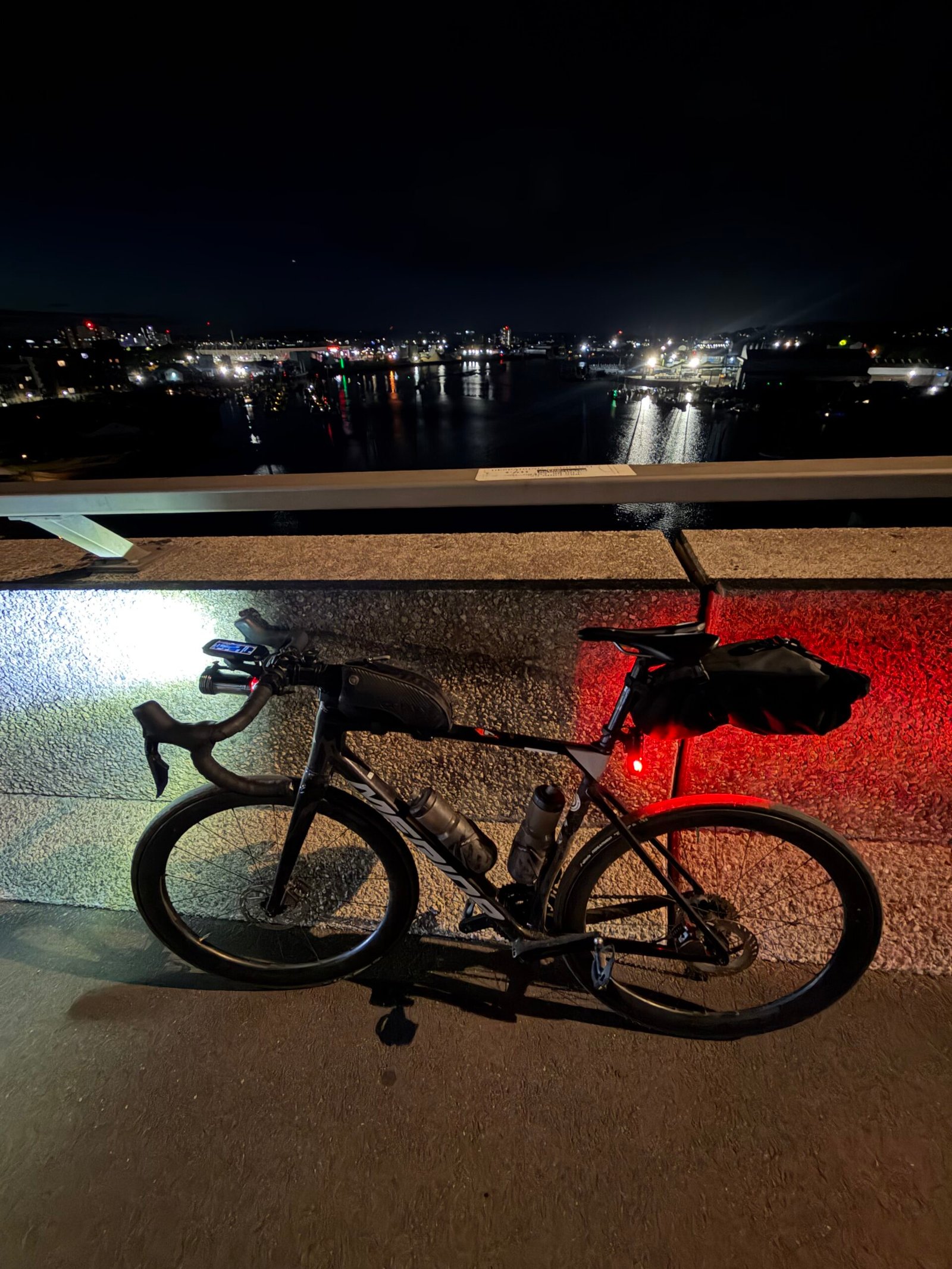
I stopped on the Itchen Bridge to look over Southampton’s lights, then Bursledon, Titchfield, Fareham and Portchester ticked by, and I reached Portsmouth just before nine in the evening, 20 hours and 16 minutes after leaving home.
That made 353 km, with about the same climbing as Forty-Three Climbs, my 263 km day in the Algarve a month earlier. 1,104 vehicles passed me and Strava handed out 52 PRs along the way. That beat my old best by 47.7 km, with 16 hours and 43 minutes of it on the move. It was a new record, and the only way home was to do it all again in the morning.
The numbers
- Ride: #1112 on Strava, ride 241 of 2026, day 121 of the streak
- Distance: 353.3 km
- Moving time: 16:42:52 (20:16:05 elapsed)
- Elevation: 3,941 m
- Average power: 112 W
- Heart rate: 109 bpm average, 159 max
- Cadence: 85 rpm average
- Calories: 8,093 kcal
- Highlight (Strava segment): Medstead Rd Climb – 2.13 km, 90 m, 9:26 at 186 W
- Conditions: clear and dark at the start, 10.5°C, 88% humidity, light westerly wind
- Year to date: Distance 19,666 km, Elevation Gain 203,034 m
The route
Download the GPX (start and finish trimmed for privacy)
The profile and climbs
30 climbs: 4 Cat 4, 26 uncategorised. Biggest: 2.6 km at 3.9%, 104 m of climbing (Cat 4, from km 201). Together the climbs account for 1,412 m of the ride’s ascent. Garmin and Strava measure climbs and segments over their own start and finish points, so the figures here can differ from the Highlight above and from each other.
Cat 4 Uncategorised Pins mark where each Garmin ClimbPro climb starts. Hover or tap a pin for details.
Climbs table
| # | Climb | Category | Starts at km | Length | Ascent | Avg grade | Time | Avg speed | Avg power | My rank | My best |
|---|---|---|---|---|---|---|---|---|---|---|---|
| 1 | Cranbrook Road | Uncategorised | 30.7 | 1.55 km | 54 m | 3.5% | 5:03 | 18.4 km/h | 224 W | 28 of 40 | 4:12 |
| 2 | Cranbrook Road | Uncategorised | 33.5 | 0.59 km | 16 m | 2.8% | 1:53 | 18.7 km/h | 204 W | 38 of 39 | 1:16 |
| 3 | High Street | Uncategorised | 42.1 | 0.86 km | 27 m | 3.2% | 3:09 | 16.4 km/h | 210 W | 1 of 1 | 3:09 |
| 4 | Smallbridge Road | Uncategorised | 51.3 | 1.43 km | 72 m | 5.1% | 5:47 | 14.8 km/h | 239 W | 1 of 1 | 5:47 |
| 5 | Marle Place Road | Uncategorised | 54.6 | 0.87 km | 34 m | 3.9% | 3:11 | 16.4 km/h | 219 W | 1 of 1 | 3:11 |
| 6 | Romford Road | Uncategorised | 60.6 | 0.80 km | 39 m | 4.9% | 3:30 | 13.7 km/h | 202 W | 4 of 6 | 3:06 |
| 7 | B2110, Withyham | Uncategorised | 78.1 | 1.39 km | 44 m | 3.1% | 4:49 | 17.4 km/h | 216 W | 2 of 3 | 4:37 |
| 8 | Newtons Hill | Uncategorised | 82.8 | 1.05 km | 38 m | 3.6% | 3:54 | 16.2 km/h | 207 W | 2 of 2 | 3:36 |
| 9 | Wall Hill Road | Uncategorised | 90.0 | 0.85 km | 66 m | 7.7% | 4:52 | 10.5 km/h | 226 W | 1 of 1 | 4:52 |
| 10 | Turners Hill Road | Uncategorised | 95.3 | 0.95 km | 44 m | 4.6% | 6:44 | 8.5 km/h | 249 W | 1 of 1 | 6:44 |
| 11 | East Street | Uncategorised | 99.8 | 1.22 km | 33 m | 2.8% | 4:18 | 17.0 km/h | 189 W | 1 of 1 | 4:18 |
| 12 | Hurst Hill | Uncategorised | 125.7 | 0.64 km | 51 m | 8% | 3:33 | 10.8 km/h | 243 W | 1 of 1 | 3:33 |
| 13 | Chart Lane South | Uncategorised | 141.1 | 0.98 km | 44 m | 4.5% | 4:21 | 13.5 km/h | 197 W | 1 of 1 | 4:21 |
| 14 | Coast Hill | Uncategorised | 147.4 | 0.78 km | 57 m | 7.3% | 3:56 | 11.9 km/h | 243 W | 1 of 1 | 3:56 |
| 15 | Shere Road | Cat 4 | 155.6 | 2.05 km | 96 m | 4.7% | 8:32 | 14.4 km/h | 203 W | 1 of 1 | 8:32 |
| 16 | Farnham Road | Cat 4 | 164.2 | 2.31 km | 92 m | 4% | 9:23 | 14.7 km/h | 198 W | 1 of 1 | 9:23 |
| 17 | Puttenham Heath Road | Uncategorised | 168.7 | 0.94 km | 32 m | 3.4% | 4:03 | 13.9 km/h | 159 W | 1 of 1 | 4:03 |
| 18 | Wrecclesham Hill | Uncategorised | 184.5 | 0.71 km | 26 m | 3.6% | 2:42 | 15.9 km/h | 191 W | 1 of 1 | 2:42 |
| 19 | Binsted Road | Uncategorised | 189.5 | 1.37 km | 61 m | 4.5% | 6:09 | 13.4 km/h | 175 W | 1 of 1 | 6:09 |
| 20 | Medstead Road | Cat 4 | 201.5 | 2.63 km | 104 m | 3.9% | 11:09 | 14.1 km/h | 185 W | 1 of 1 | 11:09 |
| 21 | Alresford Road | Uncategorised | 217.3 | 0.59 km | 23 m | 3.9% | 2:46 | 12.9 km/h | 148 W | 1 of 1 | 2:46 |
| 22 | Easton Lane | Uncategorised | 224.6 | 0.92 km | 30 m | 3.2% | 3:58 | 13.9 km/h | 153 W | 1 of 1 | 3:58 |
| 23 | High Street | Uncategorised | 231.0 | 0.78 km | 35 m | 4.5% | 38:27 | 1.2 km/h | 137 W | 1 of 1 | 38:27 |
| 24 | Stockbridge Road | Uncategorised | 232.1 | 0.63 km | 29 m | 4.7% | 2:50 | 13.3 km/h | 196 W | 1 of 1 | 2:50 |
| 25 | Cow Drove Hill | Uncategorised | 248.3 | 1.15 km | 44 m | 3.8% | 13:19 | 5.2 km/h | 153 W | 1 of 1 | 13:19 |
| 26 | Furzedown Road | Cat 4 | 250.0 | 2.34 km | 92 m | 3.9% | 9:24 | 14.9 km/h | 180 W | 1 of 1 | 9:24 |
| 27 | Monument Lane | Uncategorised | 292.5 | 0.72 km | 25 m | 3.5% | 3:01 | 14.4 km/h | 167 W | 1 of 1 | 3:01 |
| 28 | Palace Lane | Uncategorised | 302.4 | 1.14 km | 36 m | 3.1% | 4:33 | 15.1 km/h | 150 W | 1 of 1 | 4:33 |
| 29 | Bridge Road | Uncategorised | 336.5 | 1.06 km | 43 m | 4.1% | 4:28 | 14.2 km/h | 169 W | 1 of 1 | 4:28 |
| 30 | The Avenue | Uncategorised | 342.6 | 0.59 km | 25 m | 4.1% | 1:55 | 18.6 km/h | 197 W | 1 of 1 | 1:55 |
My rank places this ride among my outdoor rides over the same climb on Garmin up to that day, matched by GPS, and My best is the fastest of them at the time. Time and speed include any stop on the climb.
Related
Related rides
- Colder and Darker to Rye: Tenterden on a shorter run, two days earlier
- Portsmouth and Back: 700 km and 20,000 km for the Year: both legs of the trip together
Every town, café, beach and landmark from my rides is collected on the Links page.