The morning after The Long Way to Portsmouth I had almost exactly the same distance to ride again, but a very different day in mind. Saturday’s 353 km had gone inland over the Surrey Hills and the New Forest. For the way home I kept the sea on my right and set out to follow the coastline of Hampshire, Sussex and Kent in one go.
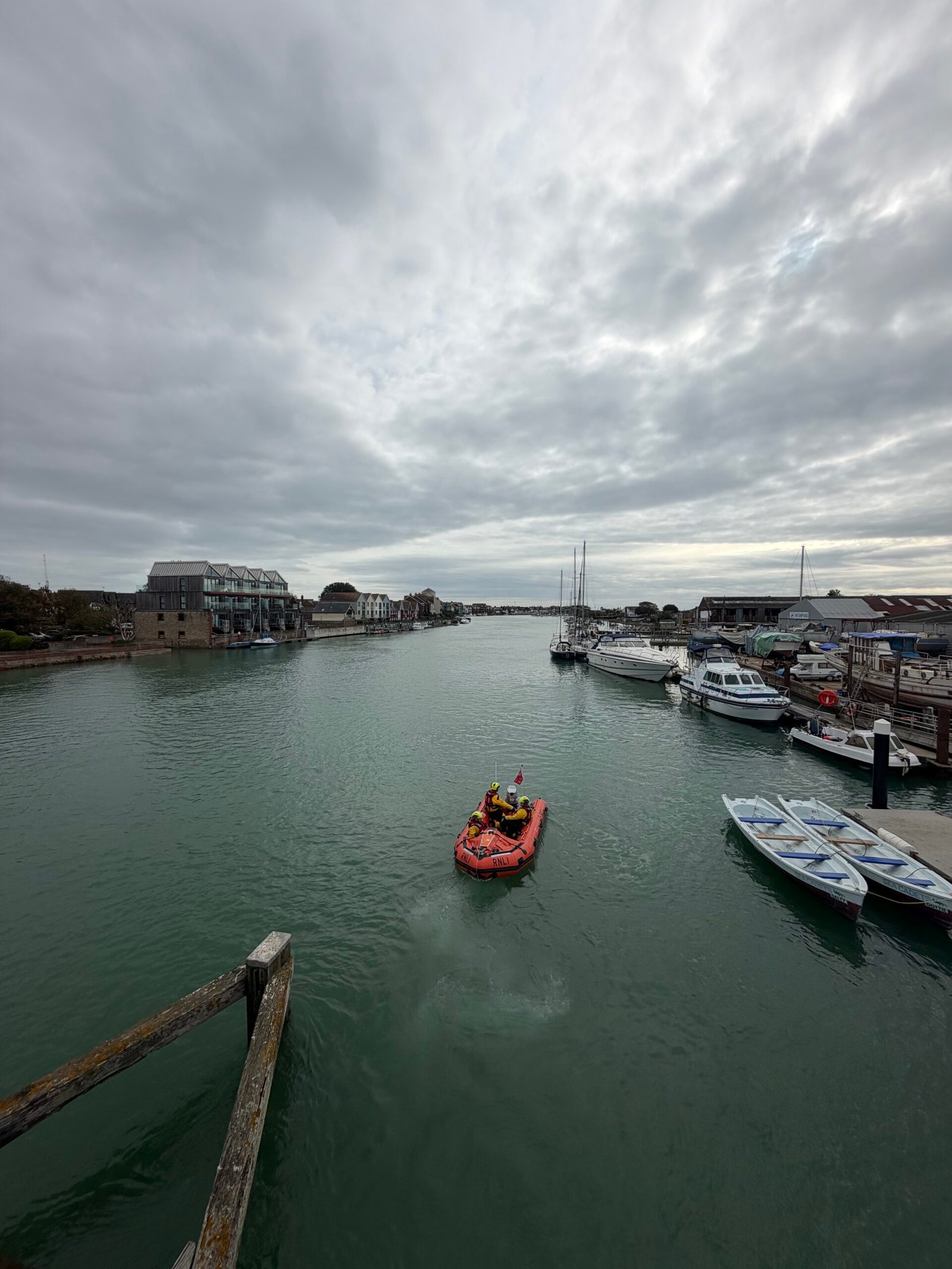
It was cloudy and about 11°C with next to no wind as I left Portsmouth along the Havant Road for Emsworth, Chichester and Bognor. At Littlehampton the River Arun lay flat and green under a big sky, with a red inflatable out among the moored boats.
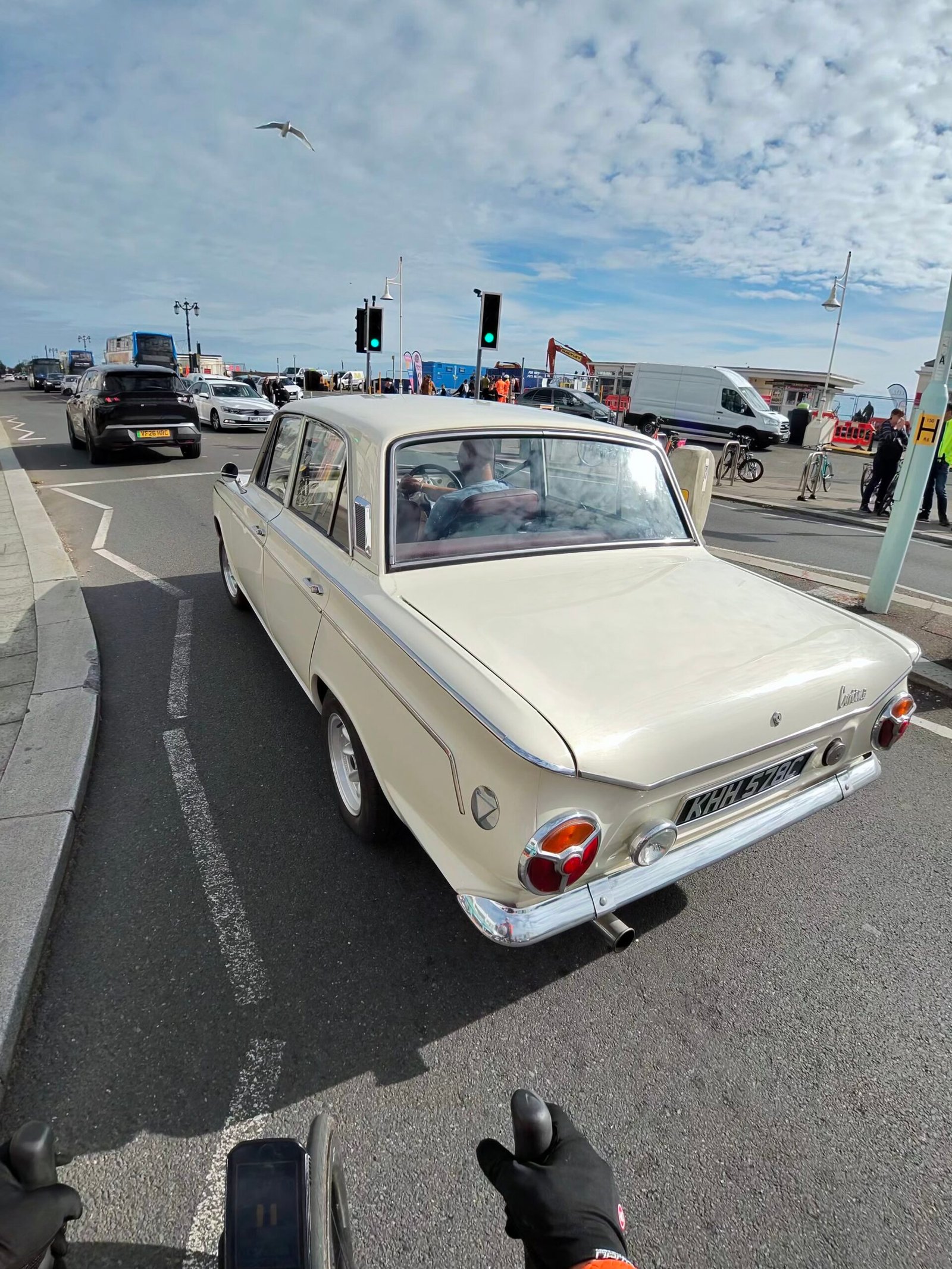
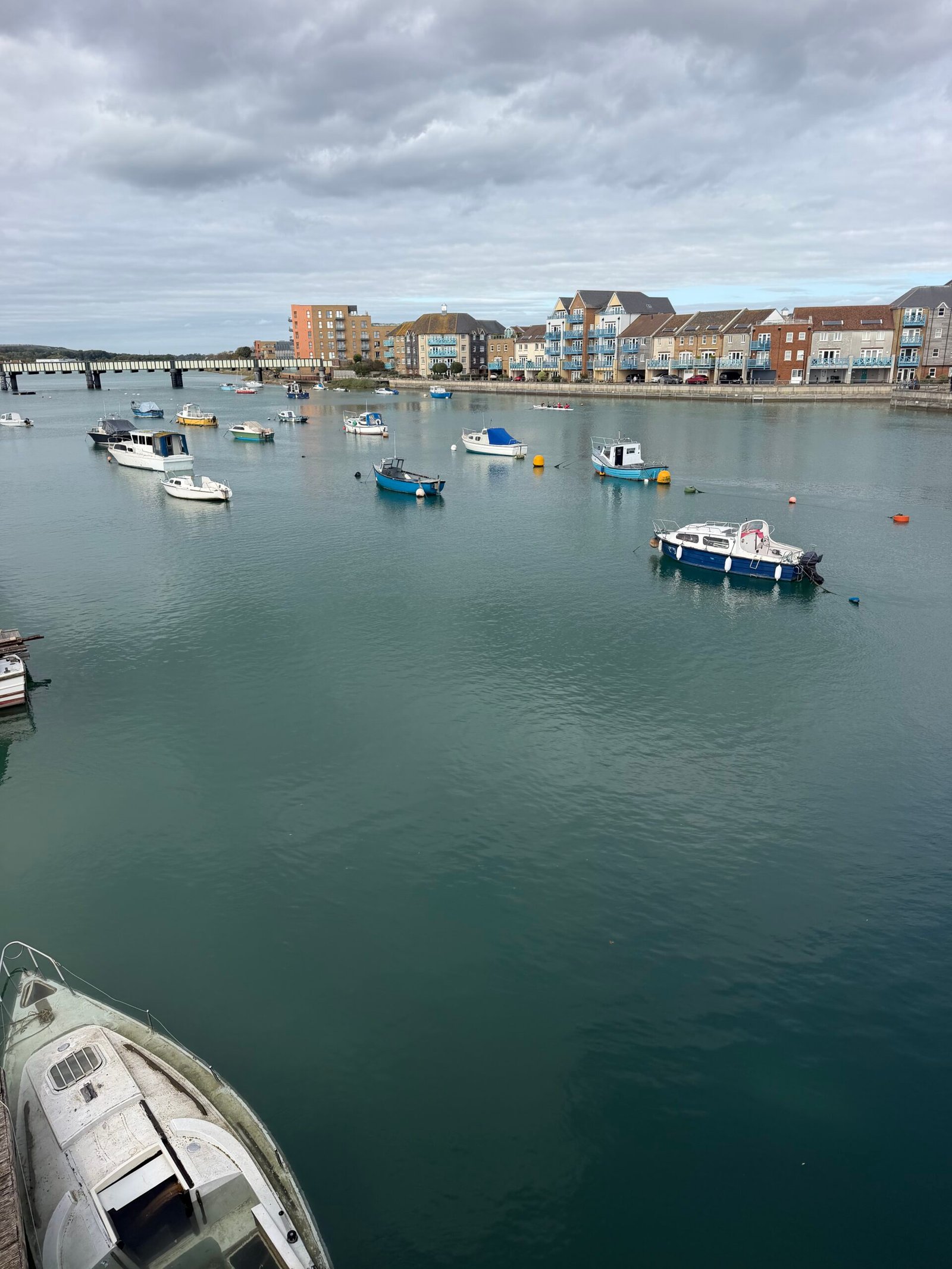
Then came the seafronts, one after another. On Worthing’s front I followed a cream Ford Cortina towards the lights, and at Shoreham the river was dotted with small boats.
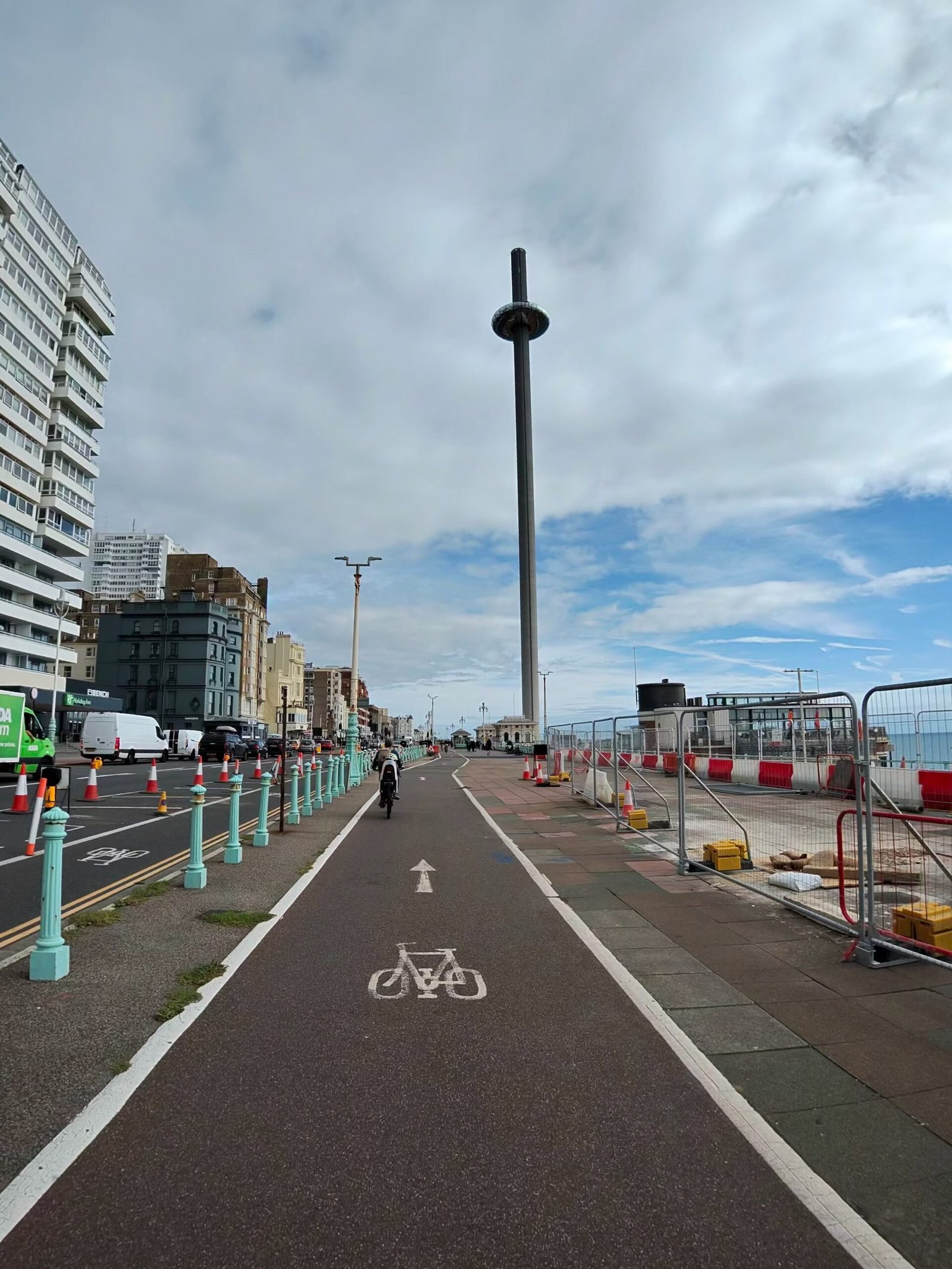
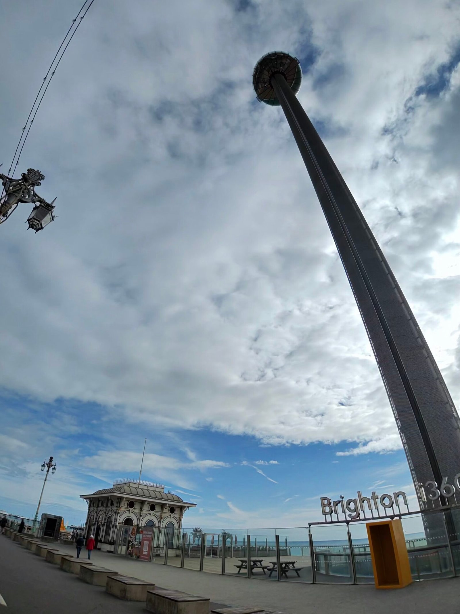
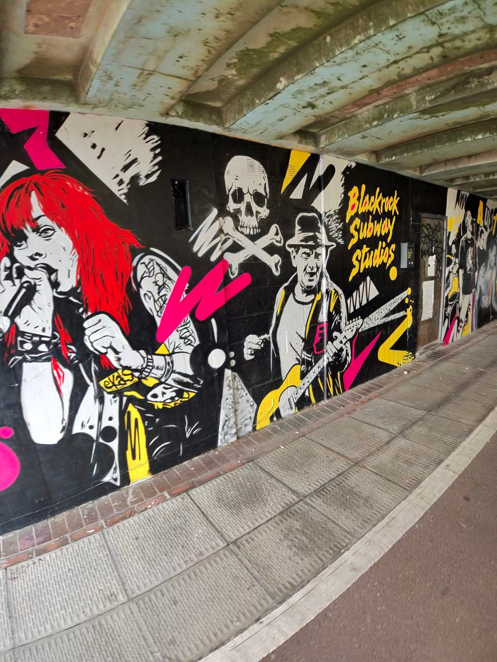
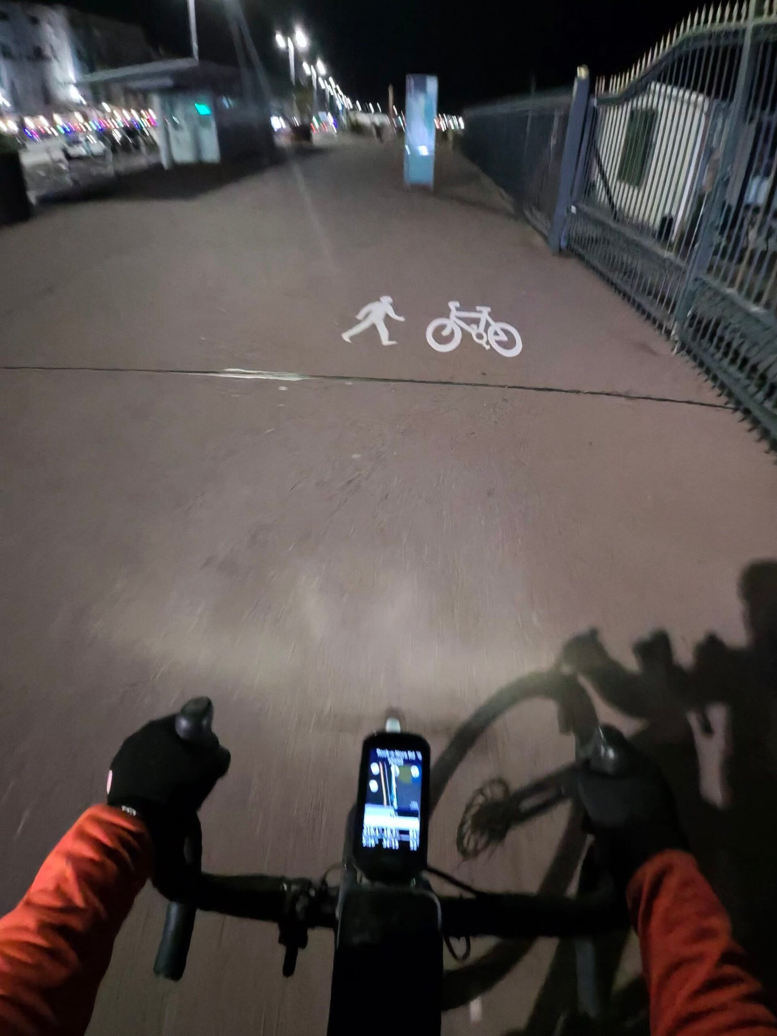
Brighton’s seafront cycle lane ran straight at the Brighton i360, a tower that takes some looking up at from the saddle, with a long line of roadworks barriers fencing off the front beside it. Further on, under the arches towards Black Rock, I passed the Blackrock Subway Studios mural, all singers, guitars and skulls.
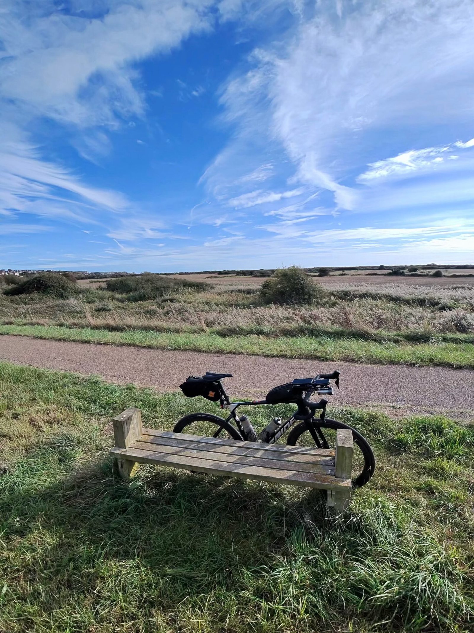
Rottingdean, Saltdean and Peacehaven followed along the cliff-top road, then the drop to Newhaven. The cloud had finally broken by the time I leaned the bike against a bench near Tide Mills, under a proper blue sky.
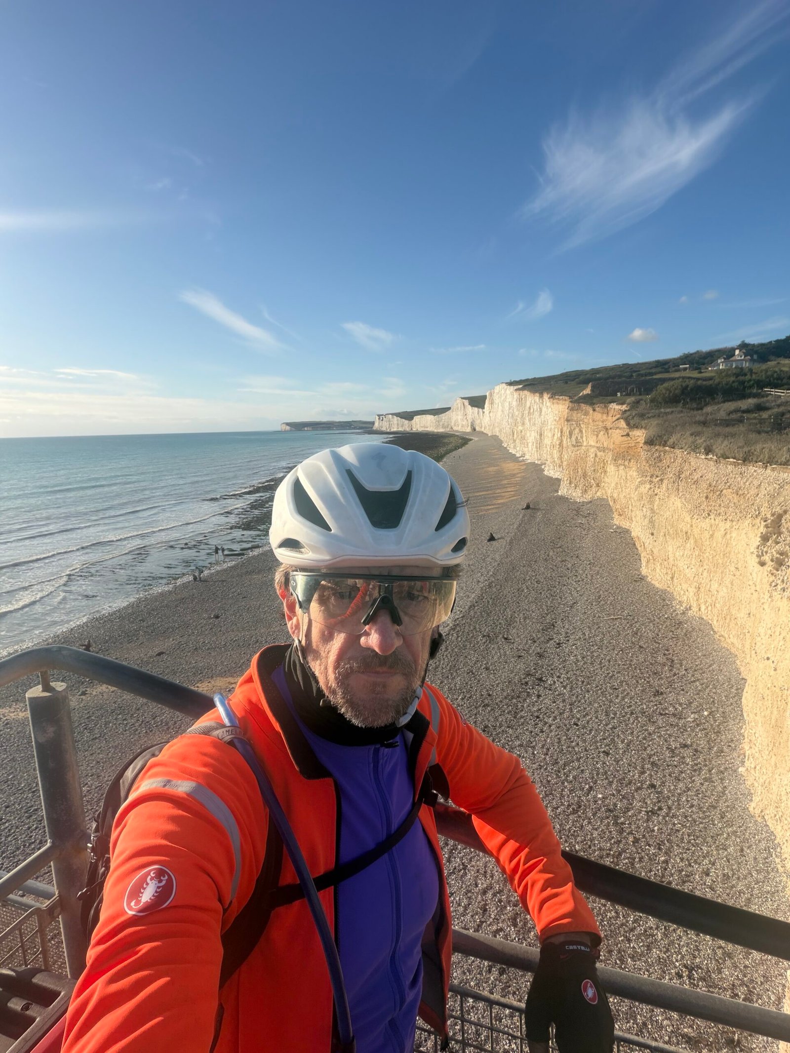
Almost everything so far had been flat, and the Seven Sisters put an end to that with the first climb Garmin thought worth a category, up from Exceat. At Birling Gap I stopped for a selfie on the steps above the beach, the chalk cliffs stretching off behind me. Under the orange jacket I was in the purple of the Maglia Ciclamino, the Giro’s jersey for the leading sprinter, which was ambitious for a day averaging 100 W.
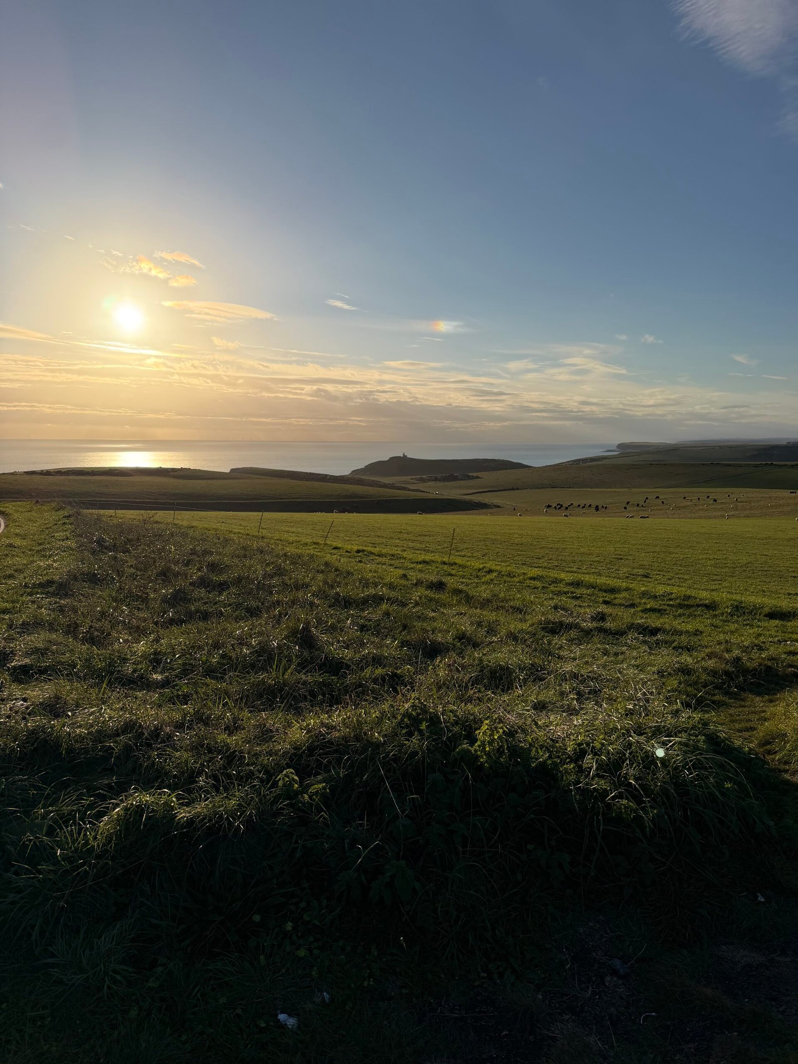
Beachy Head came straight after, with the sun dropping low over the sea from the top. Neither of Garmin’s favourite segments here troubled my best: 5th of my 5 goes on Seven Sisters Full and, with a pause for the view, 4th of 5 on Birling Gap to Beachy Head.
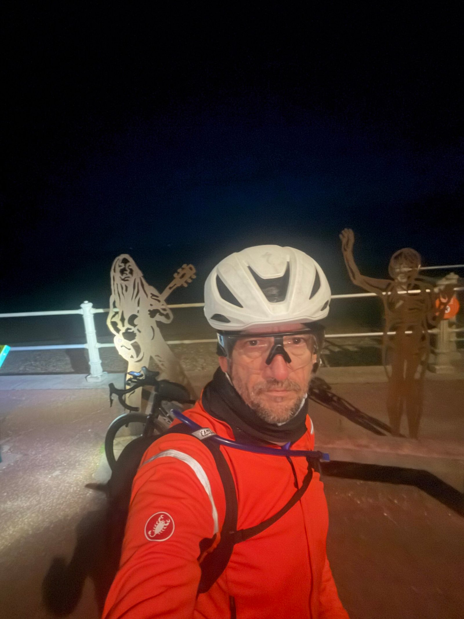
Eastbourne, Pevensey Bay and Bexhill went by as the light faded, with Galley Hill, all 16 m of it, the only bump. It was dark by St Leonards, where I stopped for another selfie among the metal figures on the seafront, and Hastings’ promenade was lit up ahead. Then came the biggest climb of the ride, up the Bourne out of Hastings, 171 m over 3.7 km by Garmin’s reckoning, followed by Pett Level, Winchelsea and Dumb Woman’s Lane on the way to Rye.
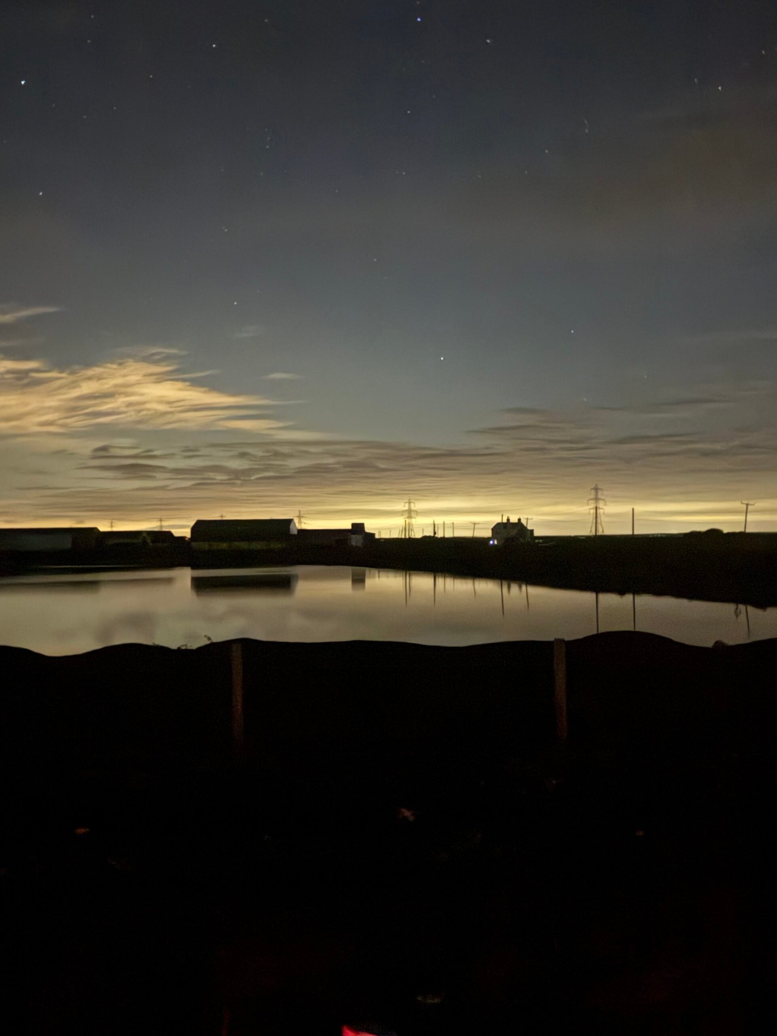
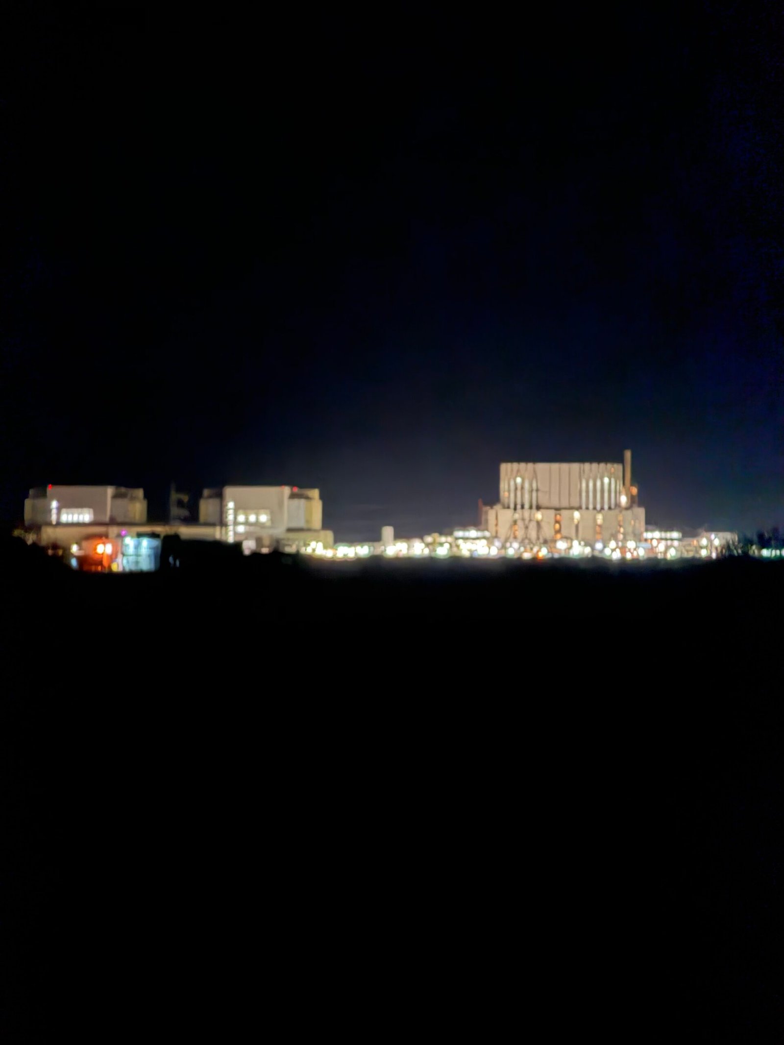
Beyond Rye the land flattens into Romney Marsh. A lake near Lydd held a faint glow on the horizon, Go Sing’s window was about the brightest thing in town, and out on the shingle Dungeness power station showed as a line of lights across the dark.

From there the coast turned north through Dymchurch and Hythe to Folkestone, and the climbing came back: up Dover Hill out of Folkestone, then out of Dover on Old Charlton Road. After Deal and Sandwich came Pegwell Bay, Ramsgate and Margate, then Reculver, Herne Bay and Whitstable. By Graveney the coast had run out, so I turned inland by Faversham and Bredgar, over the North Downs and down Hollingbourne Hill for the run home. Strava handed out 117 PRs along the way. That made 700 km and 6,400 m of climbing in two days, and took the year past 20,000 km: not bad for a trip home from seeing my son.
The numbers
- Ride: #1113 on Strava, ride 242 of 2026, day 122 of the streak
- Distance: 353.0 km
- Moving time: 16:55:51
- Elevation: 2,460 m
- Average power: 100 W
- Heart rate: 93 bpm average, 132 max
- Cadence: 80 rpm average
- Calories: 7,464 kcal
- Highlight: The Bourne, Hastings – 3.75 km, 171 m, 17:24 at 182 W
- Conditions: cloudy at the start, 11°C, 86% humidity, barely a breath of northerly wind
- Year to date: Distance 20,019 km, Elevation Gain 205,494 m
The route
● Favourite Garmin segment The numbers match the Segments table below. Hover over a segment for its time and rank; click or tap for a link to it on Garmin Connect.
Download the GPX (start and finish trimmed for privacy)
The profile and climbs
10 climbs: 2 Cat 3, 3 Cat 4, 5 uncategorised. Biggest: 3.7 km at 4.6%, 171 m of climbing (Cat 3, from km 144). Together the climbs account for 857 m of the ride’s ascent.
● Cat 3 ● Cat 4 ● Uncategorised Pins mark where each Garmin ClimbPro climb starts. Hover or tap a pin for details.
Climbs table
| # | Starts at km | Length | Ascent | Avg grade | Time | Avg power | Category |
|---|---|---|---|---|---|---|---|
| 1 | 101.0 | 2.55 km | 108 m | 4.2% | 10:55 | 185 W | Cat 4 |
| 2 | 109.4 | 2.72 km | 112 m | 4.1% | 16:17 | 168 W | Cat 4 |
| 3 | 143.7 | 3.75 km | 171 m | 4.6% | 17:24 | 182 W | Cat 3 |
| 4 | 160.7 | 0.90 km | 49 m | 5.4% | 4:20 | 208 W | Uncategorised |
| 5 | 212.7 | 2.63 km | 166 m | 6.3% | 27:53 | 207 W | Cat 3 |
| 6 | 224.4 | 1.86 km | 131 m | 7% | 14:49 | 212 W | Cat 4 |
| 7 | 258.7 | 1.06 km | 34 m | 3.3% | 4:14 | 162 W | Uncategorised |
| 8 | 311.4 | 0.56 km | 19 m | 3.4% | 2:08 | 181 W | Uncategorised |
| 9 | 332.7 | 1.08 km | 33 m | 3.1% | 4:02 | 183 W | Uncategorised |
| 10 | 342.2 | 0.91 km | 34 m | 3.7% | 3:27 | 202 W | Uncategorised |
4 favourite Garmin segments. Best placed: Birling Gap to Beachy Head, 4.13 km at 1.0%, 4th of my 5 goes (from km 108). Time and power are from this ride; My rank places this ride among all my own goes at that segment. The numbers match the map, and each segment name links to Garmin Connect, where you can save it (you’ll need a Garmin account).
Segments table
| # | Segment | Starts at km | Length | Ascent | Avg grade | Time | Avg speed | Avg power | My rank | My best |
|---|---|---|---|---|---|---|---|---|---|---|
| 1 | Seven Sisters Full | 101.1 | 3.60 km | 114 m | 0.9% | 13:51 | 15.6 km/h | 194 W | 5 of 5 | 10:11 |
| 2 | Birling Gap to Beachy Head | 107.7 | 4.13 km | 194 m | 1.0% | 27:05 | 9.2 km/h | 175 W | 4 of 5 | 12:50 |
| 3 | Head Hill Climb | 311.2 | 0.80 km | 19 m | 2.0% | 2:48 | 17.2 km/h | 202 W | 15 of 16 | 1:54 |
| 4 | Cock to lights | 348.9 | 1.86 km | 10 m | 0.6% | 5:07 | 21.7 km/h | 162 W | 183 of 215 | 3:06 |
Every town, café, beach and landmark from my rides is collected on the Links page.