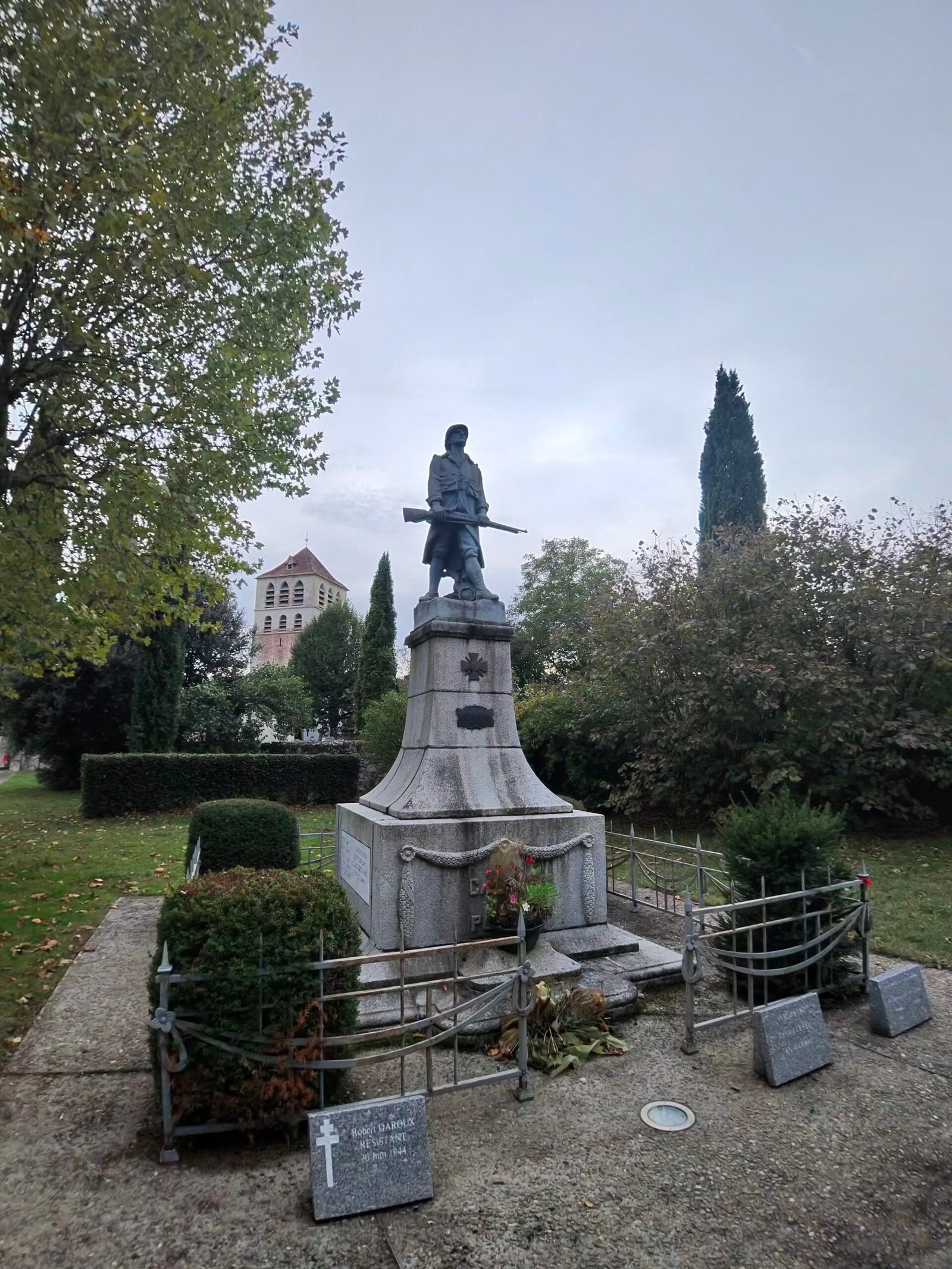
Day five in the Lot, and an evening shift. After a morning walk along the river from Bouziès to Saint-Cirq-Lapopie, the village I’d ridden to on day two, I clipped in just before quarter to six on Thursday with one job in mind: filling in the gaps. I’ve now ridden out of Cahors in most directions, so this loop went north-west into the one corner I hadn’t covered, wine country dotted with small villages.
It was cloudy and mild, with a light southerly breeze. I left town to the north, swung west through Mercuès and out to Caillac, where I paused by the war memorial with the church tower behind it.
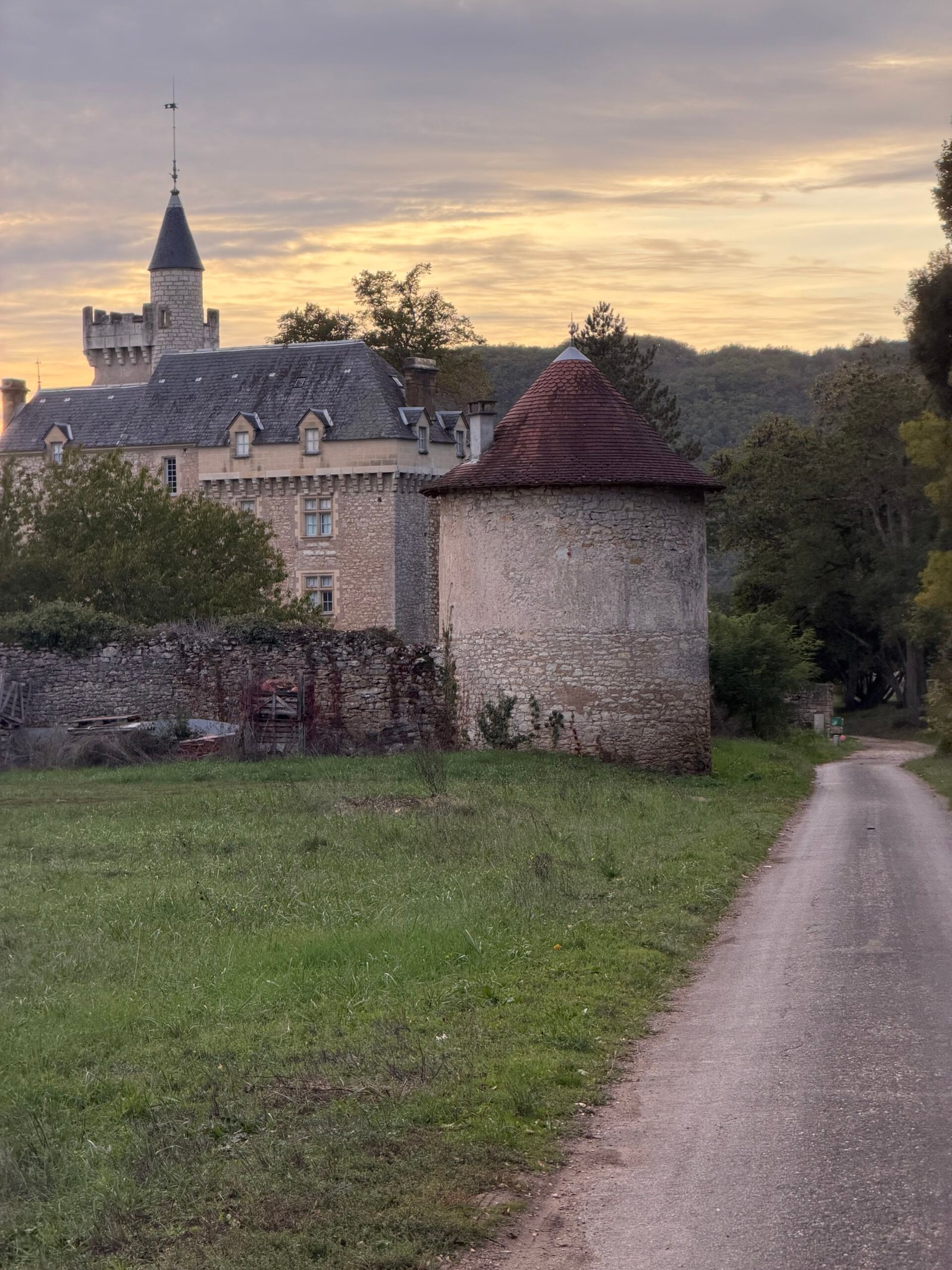
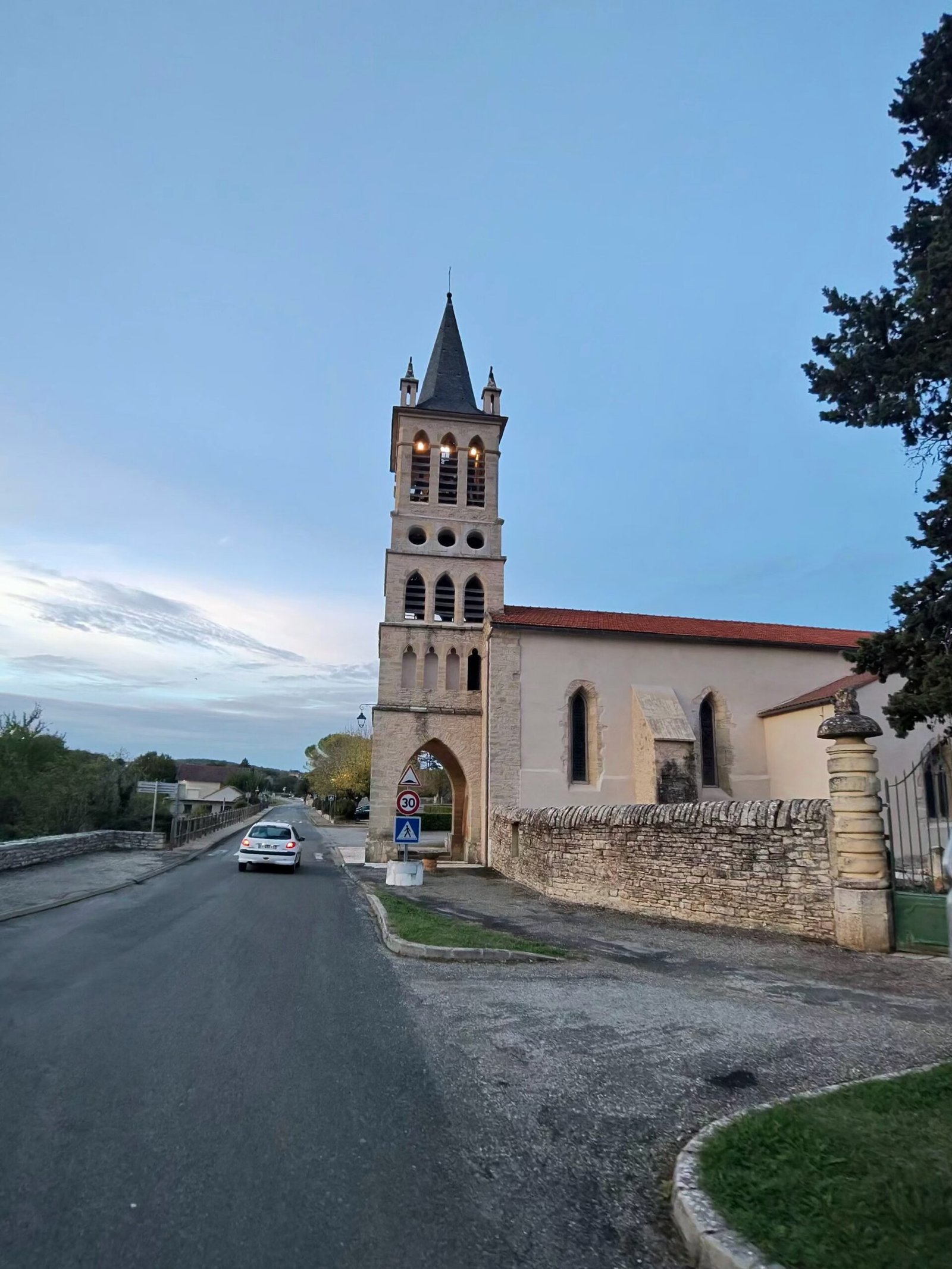
Between Caillac and Crayssac the sun went down behind a château, and the first proper climb of the evening, a Cat 4, took me up to Crayssac and its church. Summitbag logs it as the Col de Crayssac, all 291 metres of it.
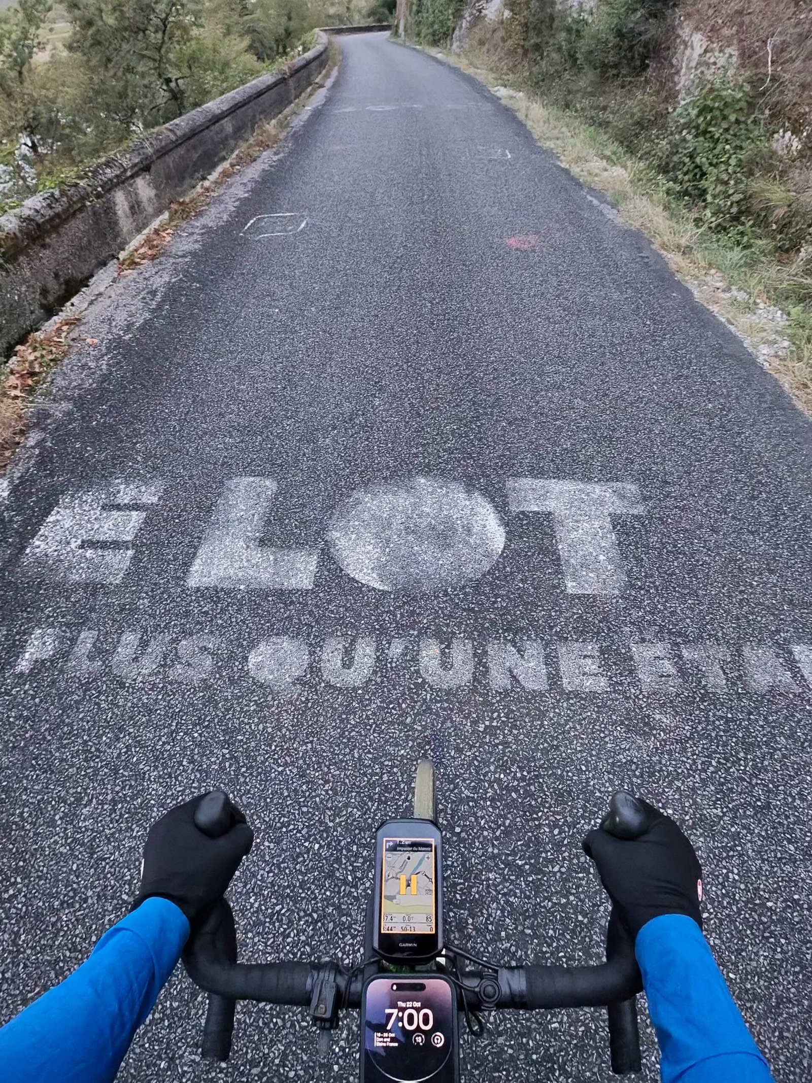
From Crayssac the road dropped to Caïx, on a loop of the Lot below Luzech. By then the phone on my bars read 7:00, and someone had painted “Le Lot, plus qu’une étape” across the lane: more than just a stage, which felt about right for a ride that was all about the in-between bits.
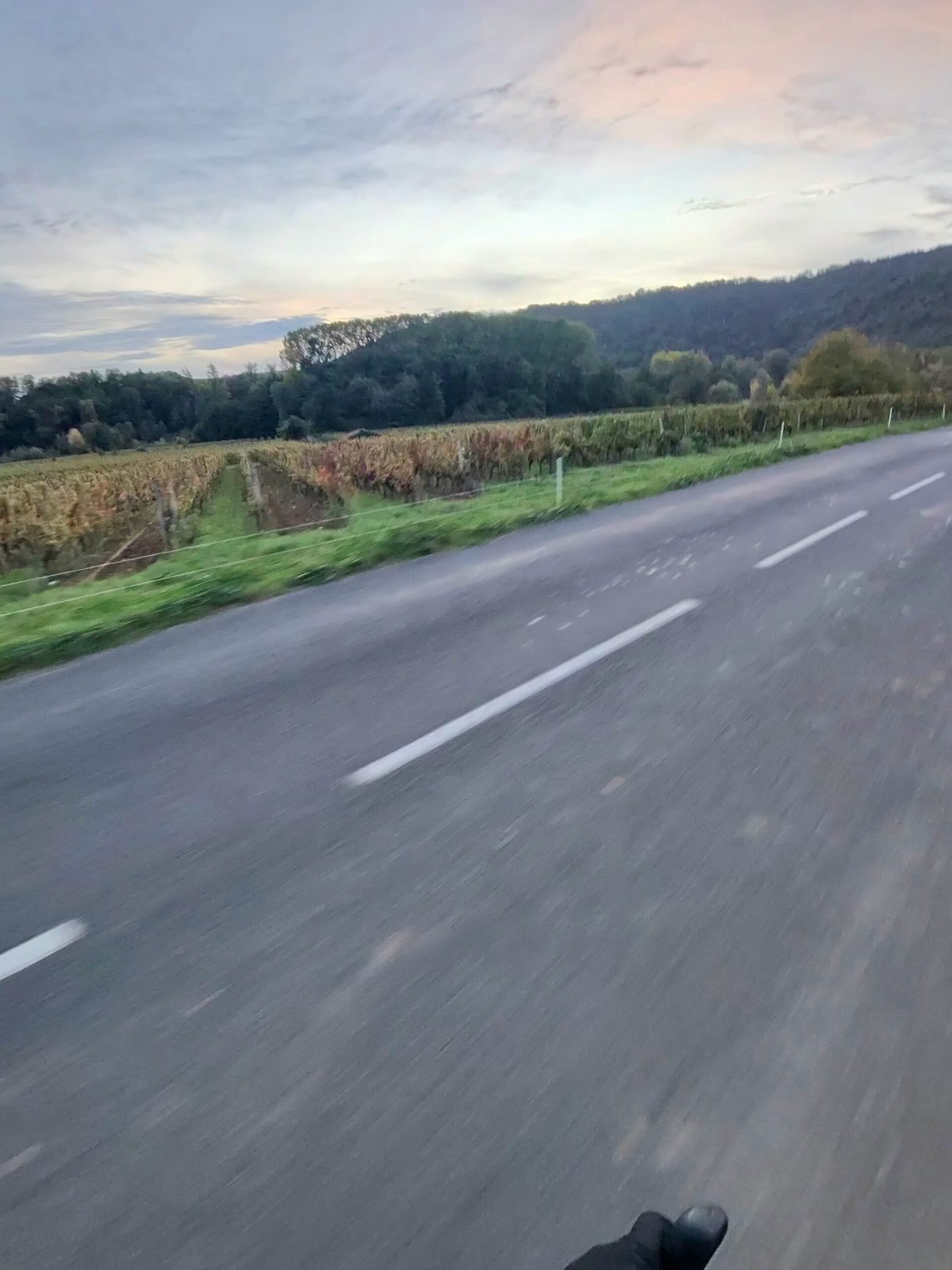
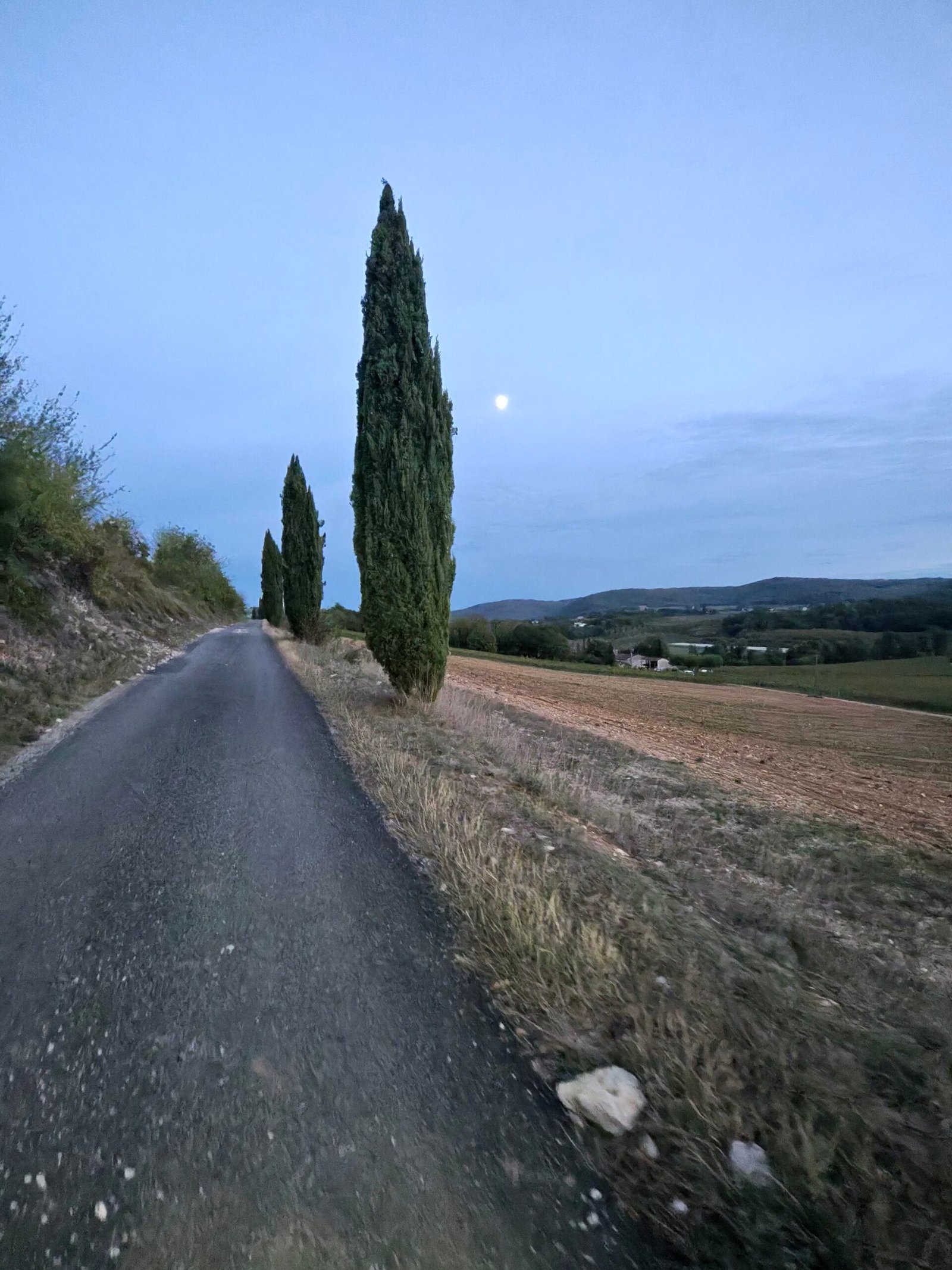
The vines around Caïx were turning and the sky was going pink over the hills. Then came the hardest climb of the night, Garmin’s only Cat 3: 2.9 km at 5.8% up from the river. Its steepest stretch is the Laborie climb, which I rode in 7:11, past a line of cypresses with the moon already up.
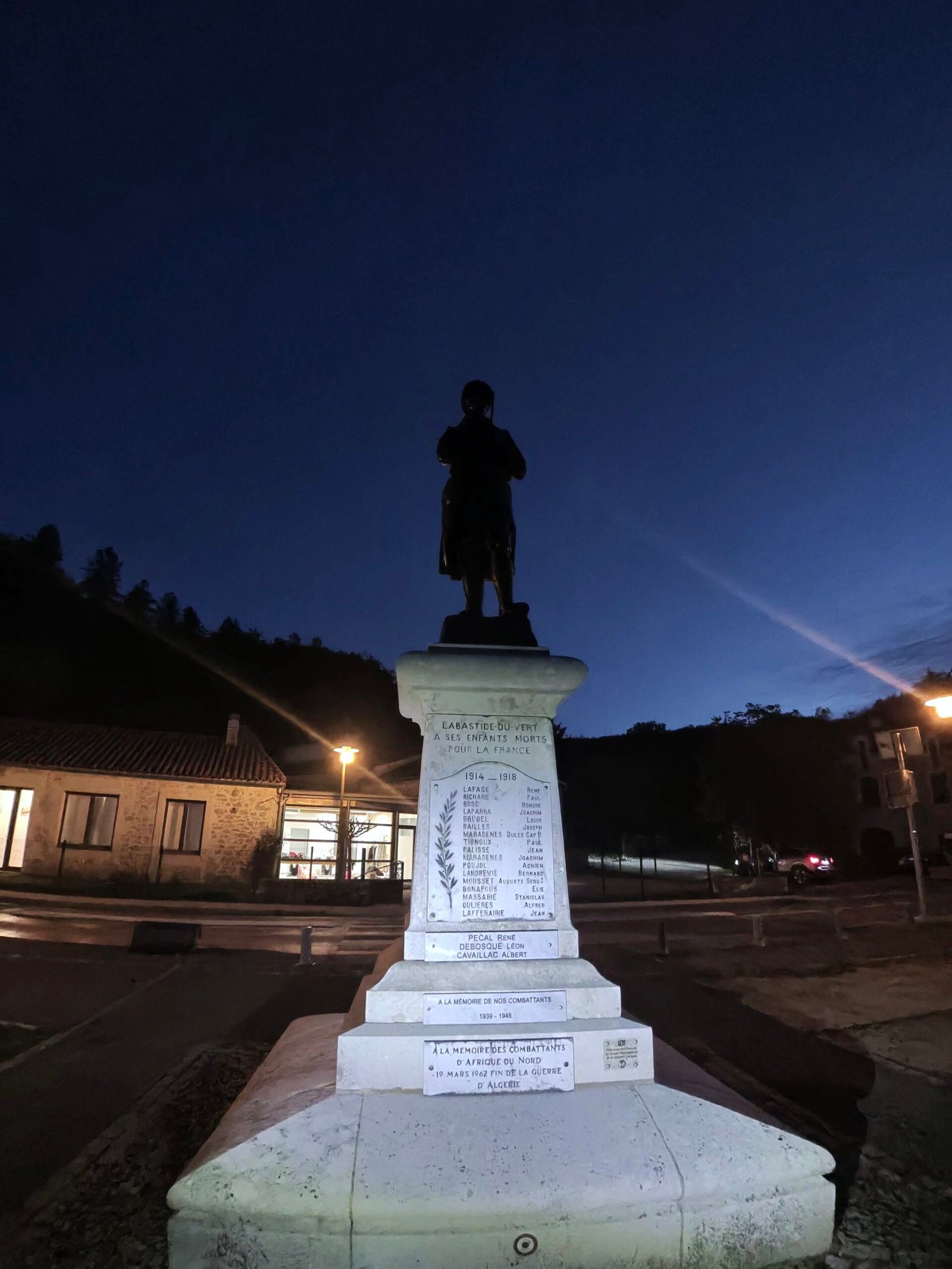
By the time I reached Labastide-du-Vert it was fully dark, and I stopped for the statue in the village, lit up against a deep-blue sky. Lights on, I carried on through Saint-Médard to Catus: a Cat 4 at La Sole, a quick drop to Nuzéjouls and another Cat 4 up to Mas Delleu above Calamane.
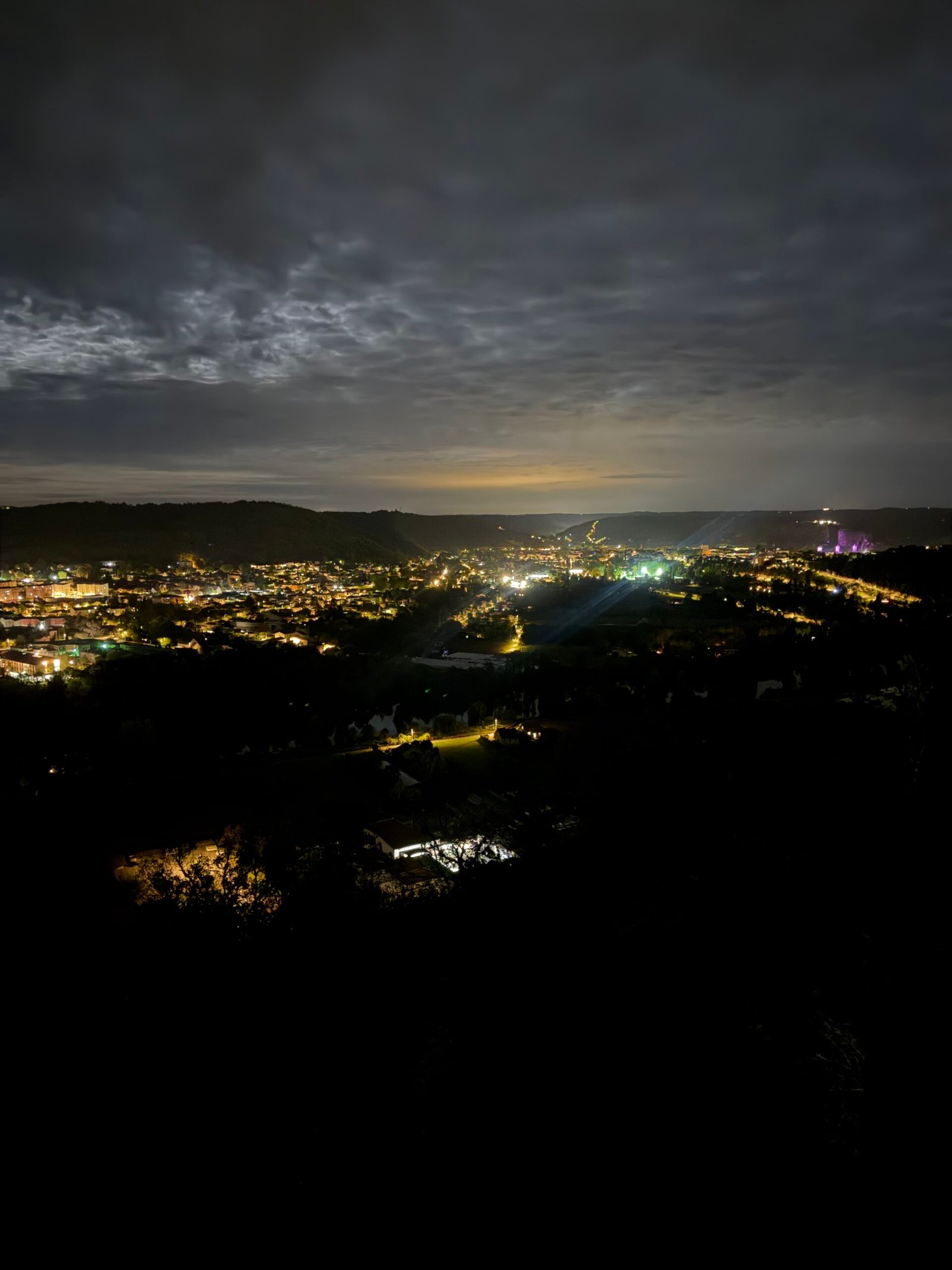
The roads out here were quiet, with just 94 vehicles passing me all evening. The reward came on the old Paris road above Laroque-des-Arcs, where I stopped to look down on the lights of Cahors spread along the valley.
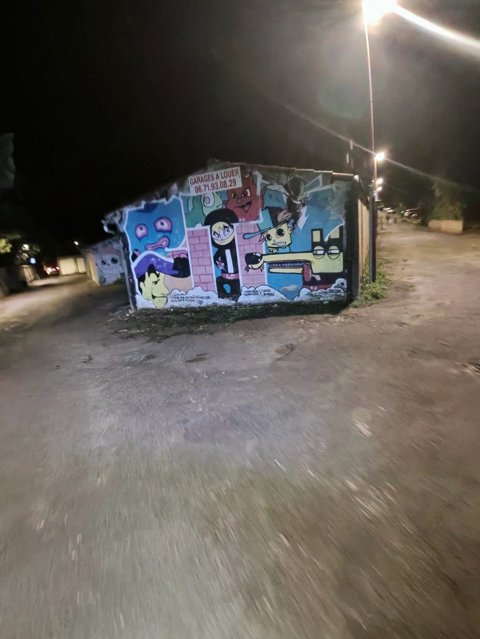
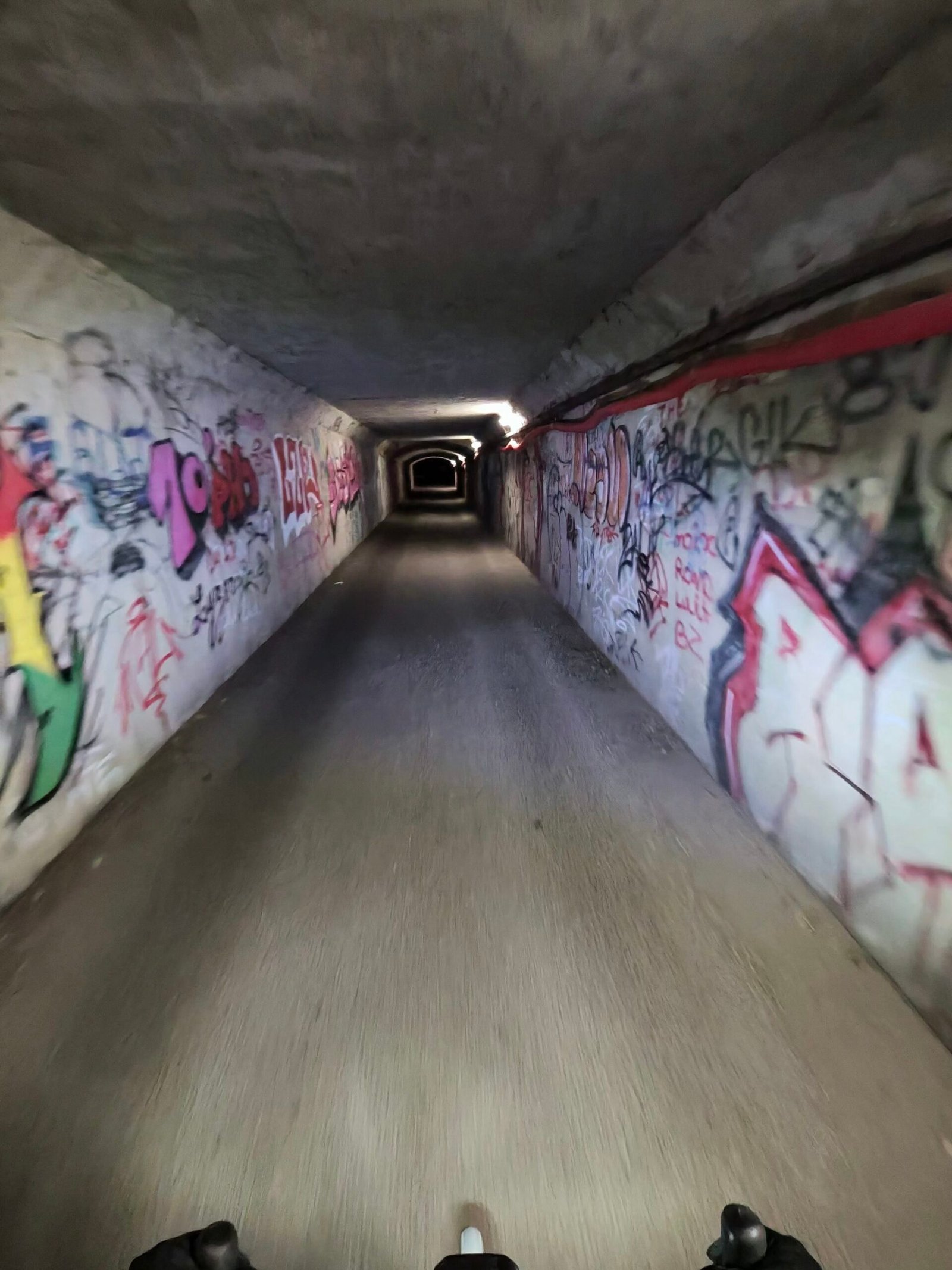
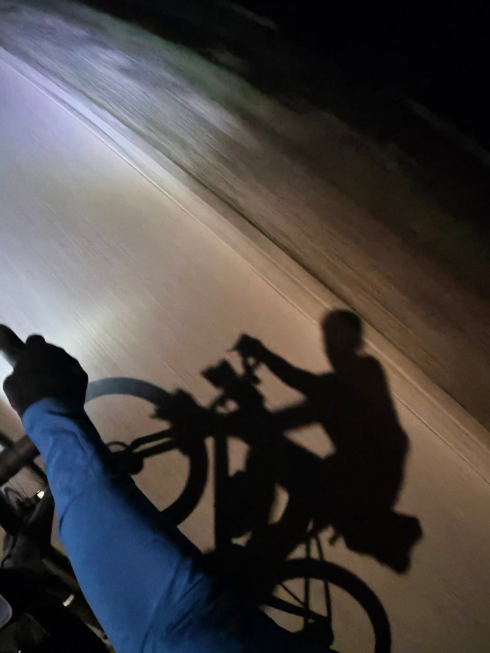
Then it was the long descent into town, where the streets had their own night-time gallery: a painted mural under a streetlamp, a graffiti-lined underpass, and my own shadow thrown up the road by a car’s headlights behind me.
No café stop and not much daylight, but another corner of the map coloured in. Five days, five directions out of Cahors, and the Lot looks just as good by headlight.
The numbers
- Ride: #1124 on Strava, ride 253 of 2026, day 133 of the streak
- Distance: 61.2 km
- Moving time: 2:59:15 (3:23:31 elapsed)
- Elevation: 925 m
- Average power: 127 W
- Heart rate: 108 bpm average, 145 max
- Cadence: 86 rpm average
- Calories: 1,604 kcal
- Highlight: Laborie Climb, Crayssac – 1.47 km, 97 m, 7:11 at 233 W
- Conditions: cloudy, then dark, 14.7°C, 72% humidity, a light 8 km/h southerly breeze
- Year to date: Distance 20,811 km, Elevation Gain 212,997 m
The route
Download the GPX (start and finish trimmed for privacy)
The profile and climbs
6 climbs: 1 Cat 3, 3 Cat 4, 2 uncategorised. Biggest: 2.9 km at 5.8%, 168 m of climbing (Cat 3, from km 24). Together the climbs account for 574 m of the ride’s ascent.
Cat 3 Cat 4 Uncategorised Pins mark where each Garmin ClimbPro climb starts. Hover or tap a pin for details.
Climbs table
| # | Starts at km | Length | Ascent | Avg grade | Time | Avg power | Category |
|---|---|---|---|---|---|---|---|
| 1 | 13.8 | 0.59 km | 33 m | 5.5% | 2:38 | 224 W | Uncategorised |
| 2 | 17.9 | 1.43 km | 98 m | 6.8% | 7:07 | 232 W | Cat 4 |
| 3 | 23.8 | 2.89 km | 168 m | 5.8% | 17:17 | 220 W | Cat 3 |
| 4 | 39.6 | 1.63 km | 100 m | 6.1% | 7:55 | 219 W | Cat 4 |
| 5 | 47.7 | 2.74 km | 129 m | 4.7% | 11:46 | 206 W | Cat 4 |
| 6 | 51.1 | 1.21 km | 46 m | 3.8% | 6:40 | 150 W | Uncategorised |