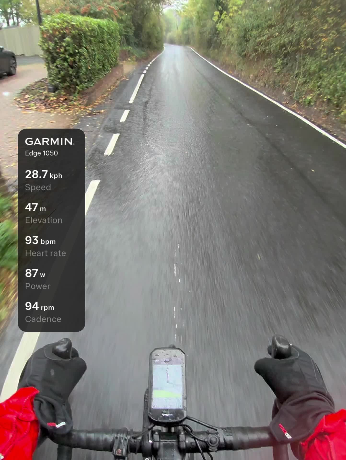
The first day of my leave, and for once a ride in daylight. Just after nine I rolled out into the rain: 14°C, 94% humidity and hardly any wind, just the wet.
I got very wet, and I can’t say I minded. It started straight away, freewheeling off the ridge and down Hunton Hill to Hunton, where the tarmac was already shining with water. No need to push on the way down: that first stretch was the easiest of the ride.
At the bottom it flattened out into the easy miles, steady Zone 2 through Chainhurst and along Sheephurst Lane, then round the lanes south of Marden and back up through the village.
Riding in the morning brings the traffic back. 39 vehicles passed me in just over an hour, against 12 on the much longer loop the night before.
North of Marden the legs woke up. I went up Stilebridge Lane in 2:00, my third-fastest time on a segment somebody named “get chased by the dog”. Then it was across to Lower Farm Road and the sting in the tail: Church Hill, the one proper climb on the loop. It took 8:28 at 243 W, the hardest few minutes of the morning and a fair way to warm up in the rain.
From the top at Boughton Monchelsea it was west along the ridge and through Coxheath towards home, 27 km in the bag and the streak on to day 127. The next morning’s pedal would be in Tours, in France, the half-way stop on the way south to the Lot. Very wet, and smiling about it – not a bad way to start a holiday.
The numbers
- Ride: #1118 on Strava, ride 247 of 2026, day 127 of the streak
- Distance: 27.0 km
- Moving time: 1:05:37 (1:08:19 elapsed)
- Elevation: 127 m
- Average power: 156 W
- Heart rate: 117 bpm average, 160 max
- Cadence: 94 rpm average
- Calories: 701 kcal
- Highlight: Church Hill – 2.16 km, 101 m, 8:28 at 243 W
- Conditions: rain, 14.4°C (feels like 14°C), 94% humidity, a light north-westerly wind
- Year to date: Distance 20,333 km, Elevation Gain 207,664 m
The route
Download the GPX (start and finish trimmed for privacy)
The profile and climbs
1 climb, all uncategorised. Biggest: 1.7 km at 2%, 35 m of climbing (from km 21). Together the climbs account for 35 m of the ride’s ascent. Garmin’s altimeter drifted on this very wet ride, finishing 33 m below where it started on a loop, so its heights and this climb read low: Strava’s segment for the same 1.73 km of Church Hill has 91 m.
Uncategorised Pins mark where each Garmin ClimbPro climb starts. Hover or tap a pin for details.
Climbs table
| # | Starts at km | Length | Ascent | Avg grade | Time | Avg power | Category |
|---|---|---|---|---|---|---|---|
| 1 | 21.2 | 1.73 km | 35 m | 2% | 7:20 | 251 W | Uncategorised |
Every town, café, beach and landmark from my rides is collected on the Links page.