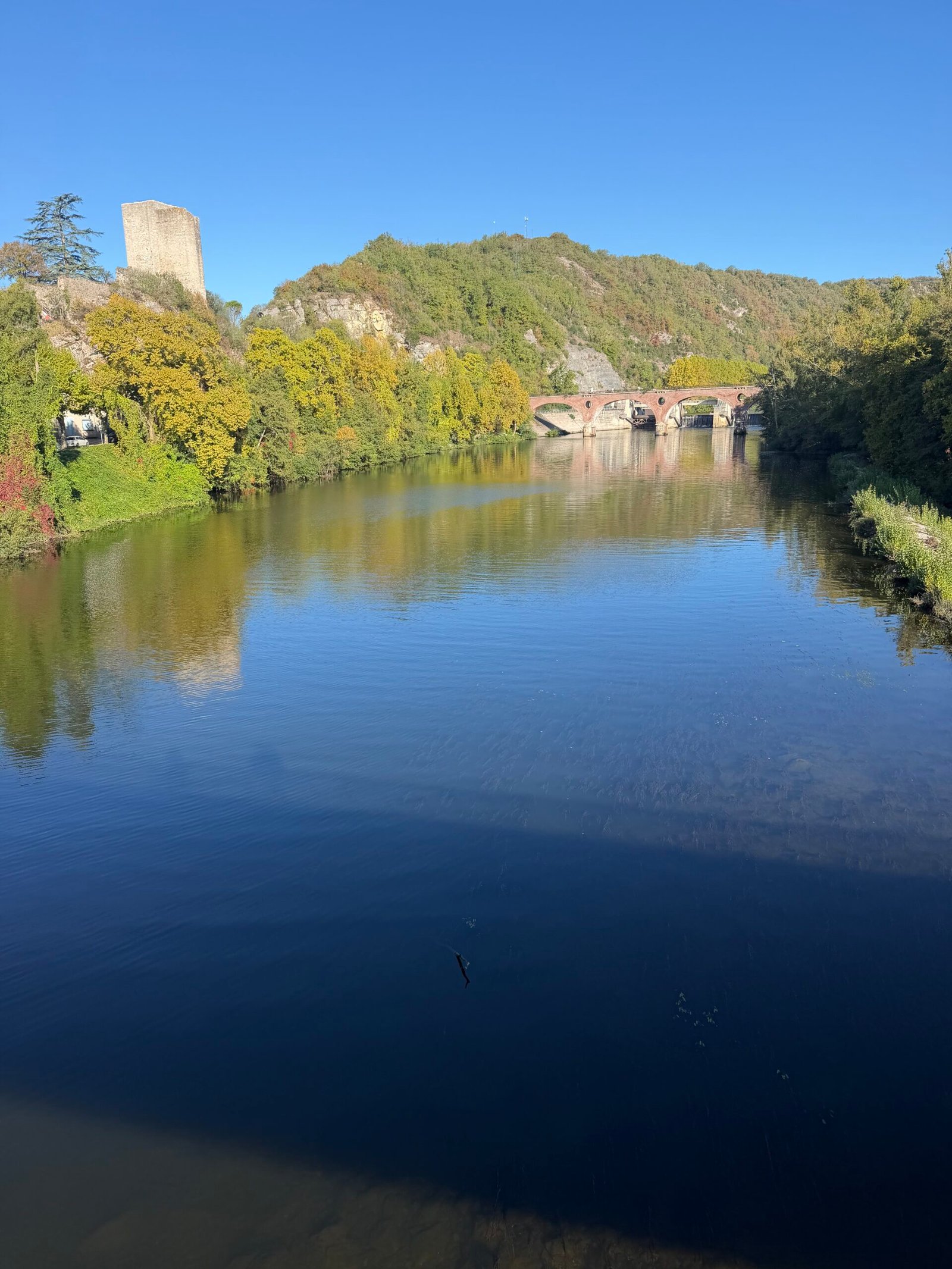
Cahors is home for the next week. After the half-way stop in Tours, this was the first proper day in the Lot, and I rolled out just before quarter to ten on a chilly Sunday morning: a touch under 9°C, barely a breath of wind and a clear blue sky. The plan was simple: follow the river west to Puy-l’Évêque and find a hillier way back.
The Lot loops back on itself so often that you never stray far from it. Out through Pradines and past Douelle the road stayed close to the water, and after 17 km I rolled into Luzech, where the old square donjon looks down over the river, the bridge and the dam.
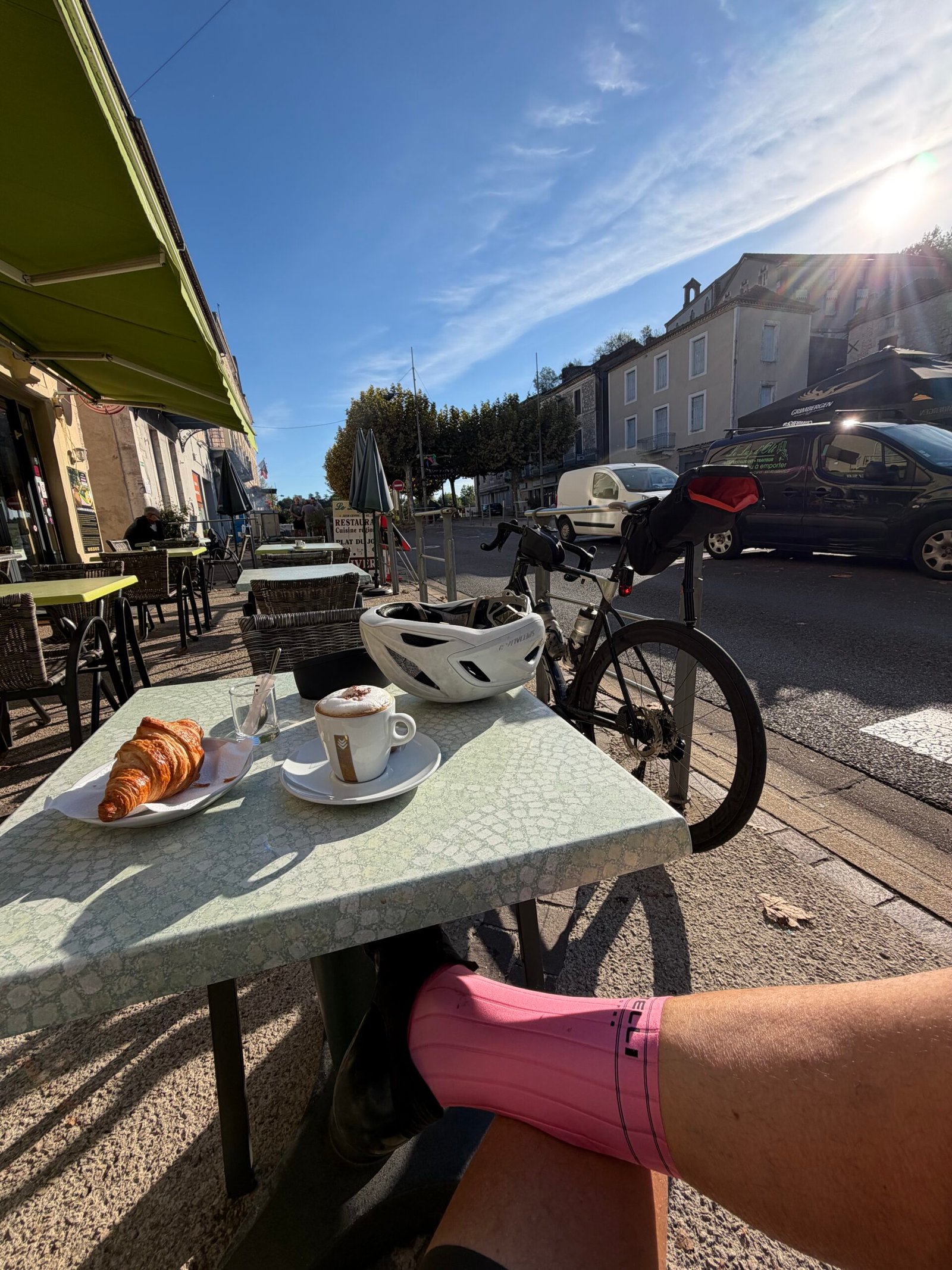
Luzech was the coffee stop: a cappuccino and a croissant in the sunshine on the terrace at Le Luz d’Olt, the bike propped up behind the table and twenty minutes of doing very little. It was the only proper stop of the day.
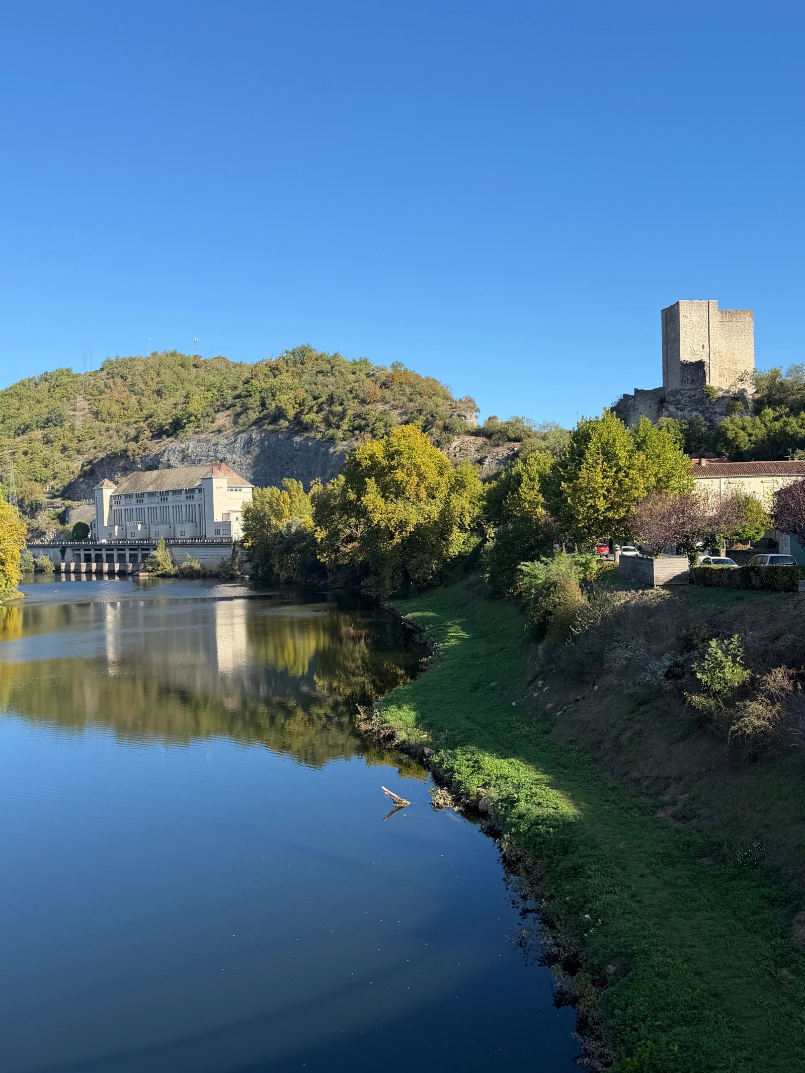
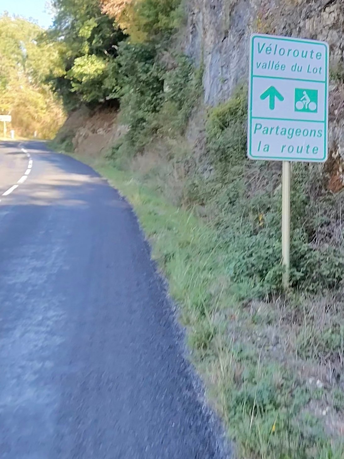
Beyond Luzech the route joins the Véloroute vallée du Lot, where the signs ask everyone to share the road, and the traffic was kind all day: just 92 vehicles passed me in 84 km.
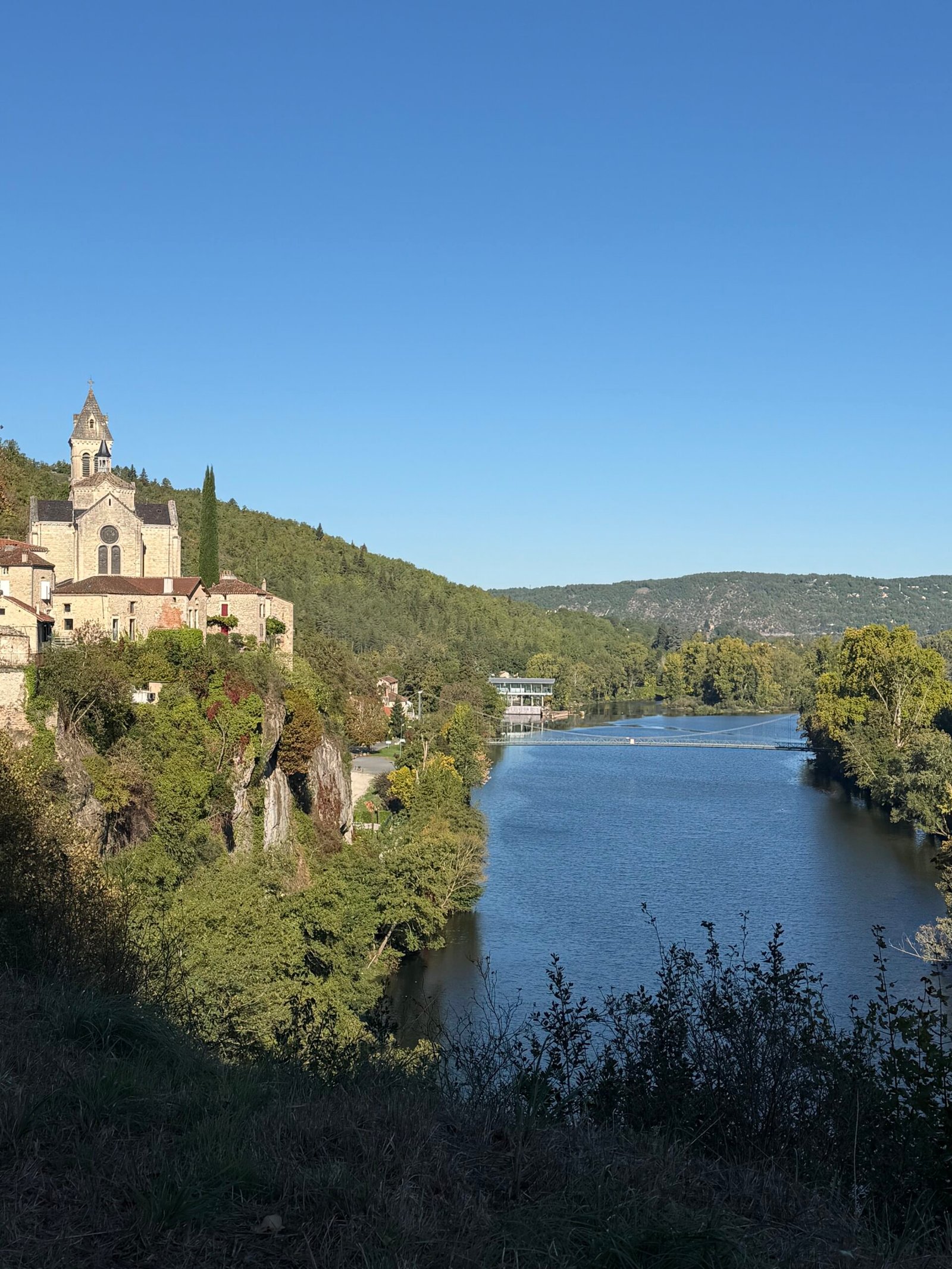
Albas was the first of the villages that make this route. Its church sits on a cliff straight above the river, and I stopped twice to look back at it. Then it was on through Castelfranc, with a short pause by the river, and Prayssac, the valley opening out between vineyards and wooded hills.
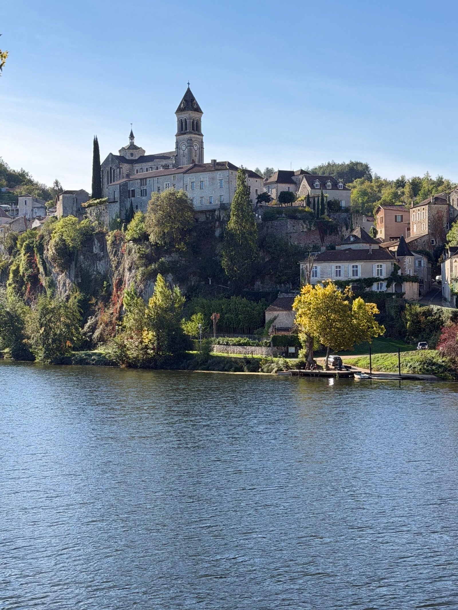
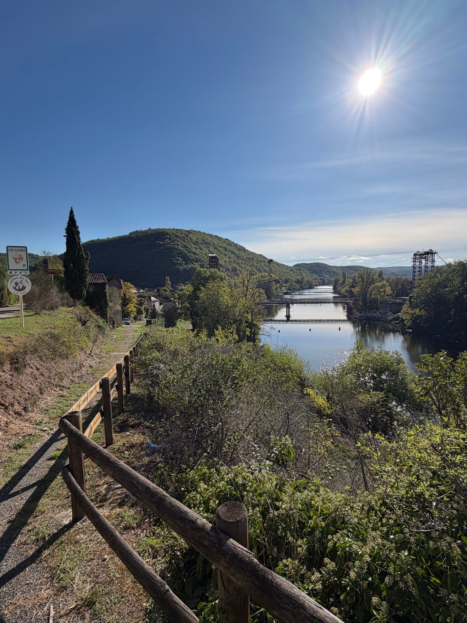
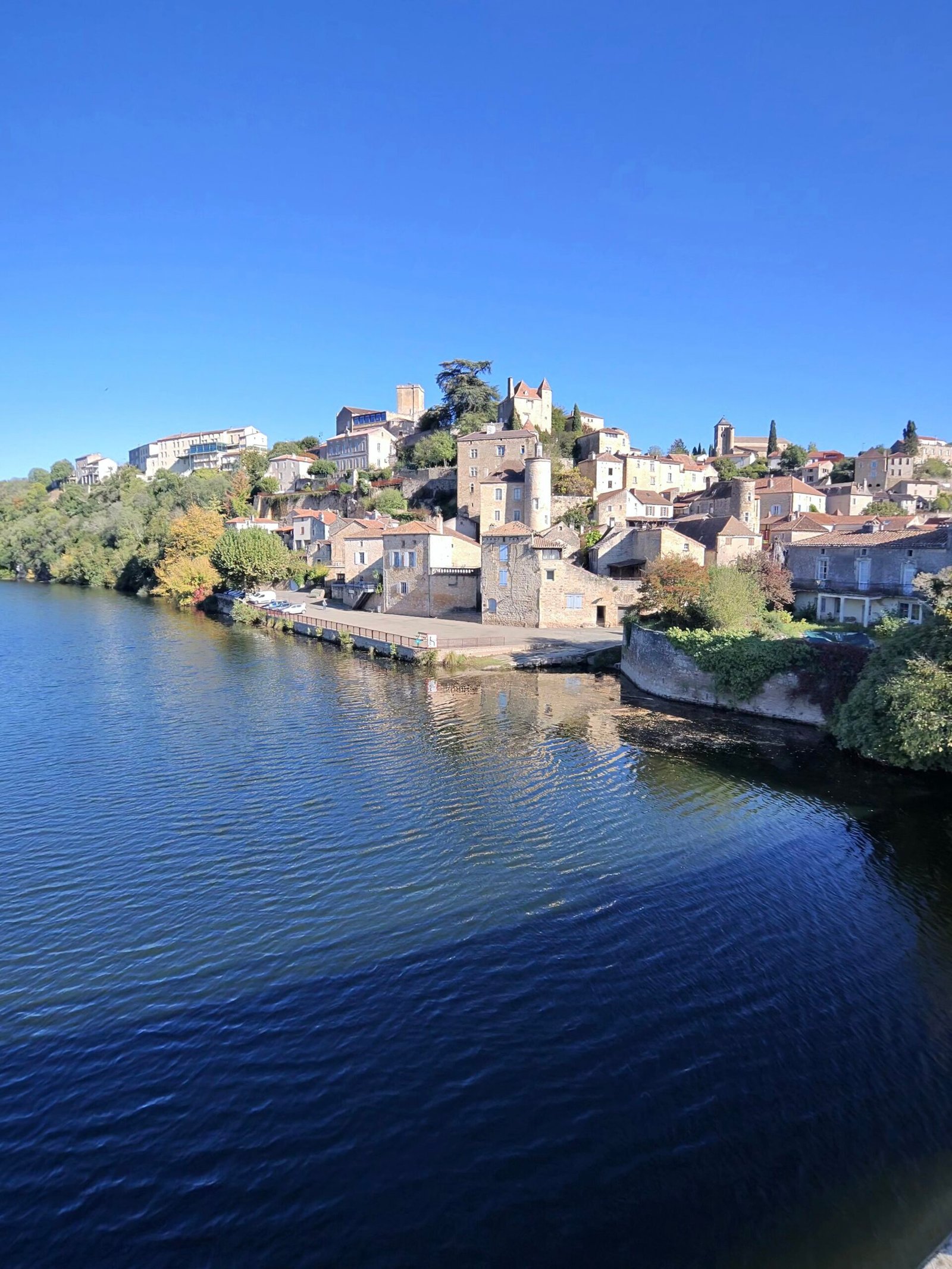
Puy-l’Évêque was the turning point, a town of honey-coloured stone stacked up the hillside above the water, and it looked its best in the late-morning sun. I crossed the river and turned for home.
Home meant hills. The first climb, which Garmin rated Cat 4, wound up through Grézels to the hilltop village of Bélaye: 3.4 km and nearly 120 m. After dropping back down towards the river, the second Cat 4 was the hardest part of the day, almost 4 km and 145 m up onto the plateau around Sauzet. Its steepest stretch, the Sarnau climb, took me 6:26 at 240 W.
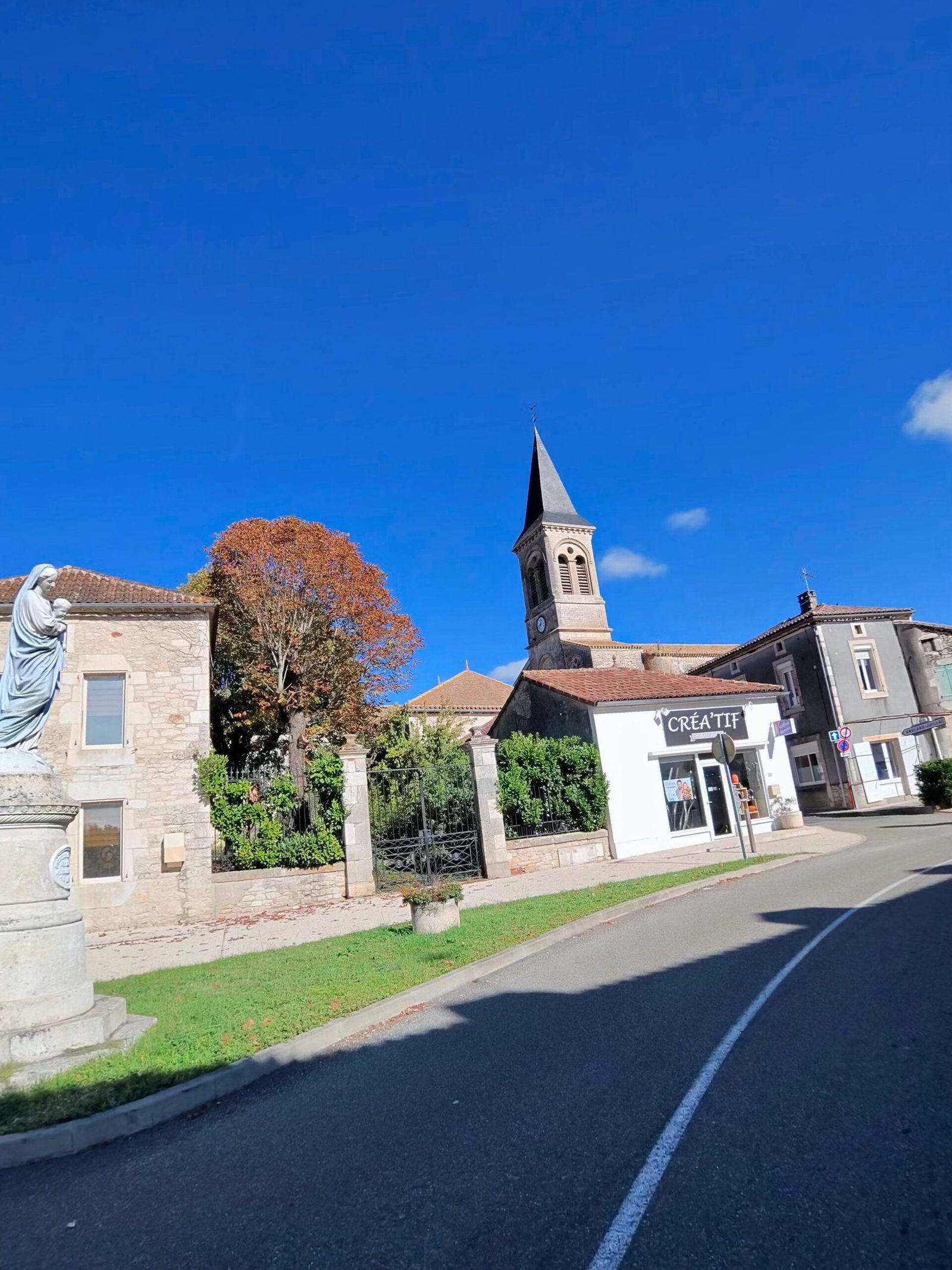
Up top the character of the ride changed completely: rolling farmland through Sauzet, Villesèque and Labastide-Marnhac, small villages gathered around their churches, and very little traffic. From there it was a fast run back down into Cahors.
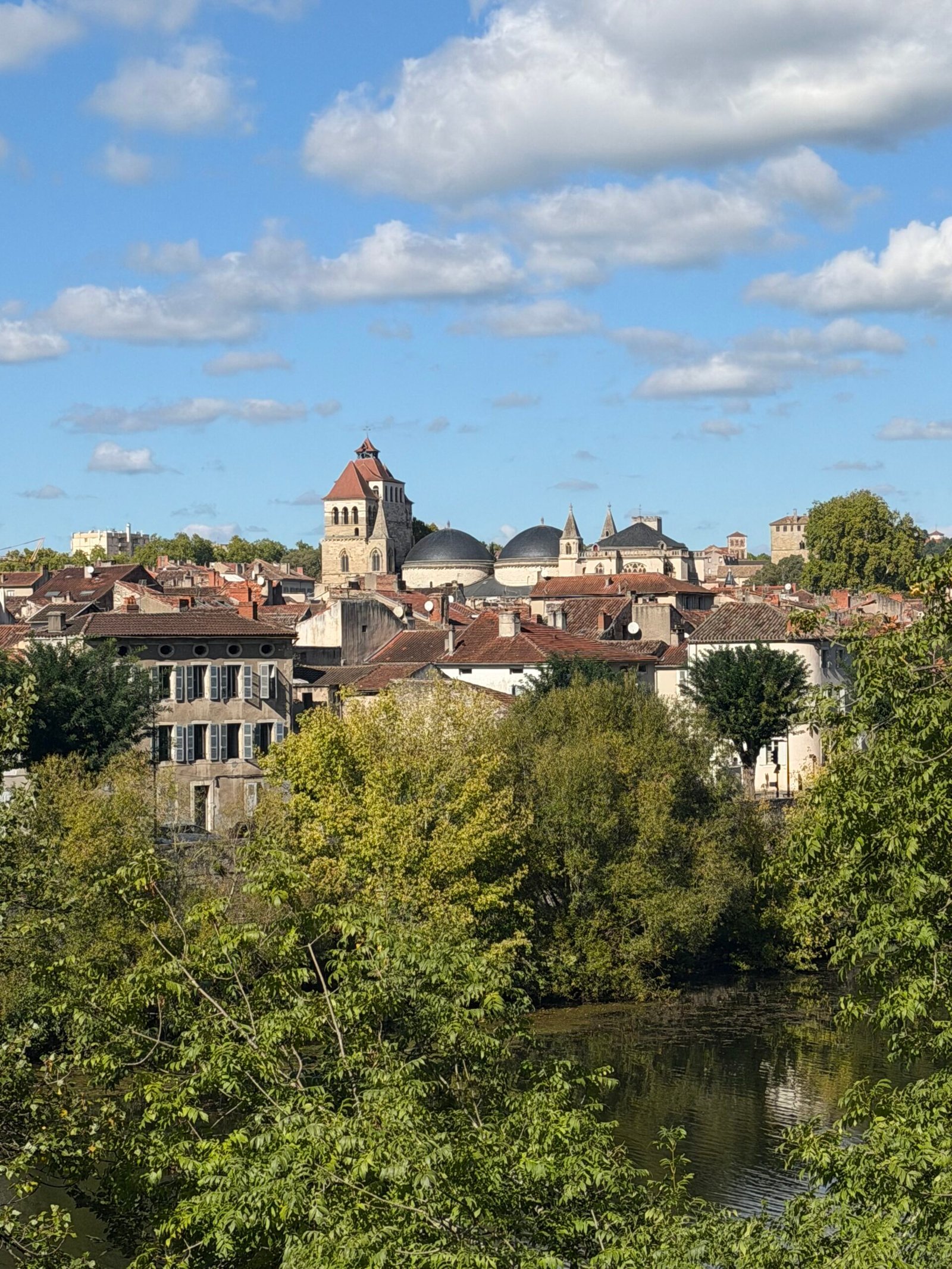
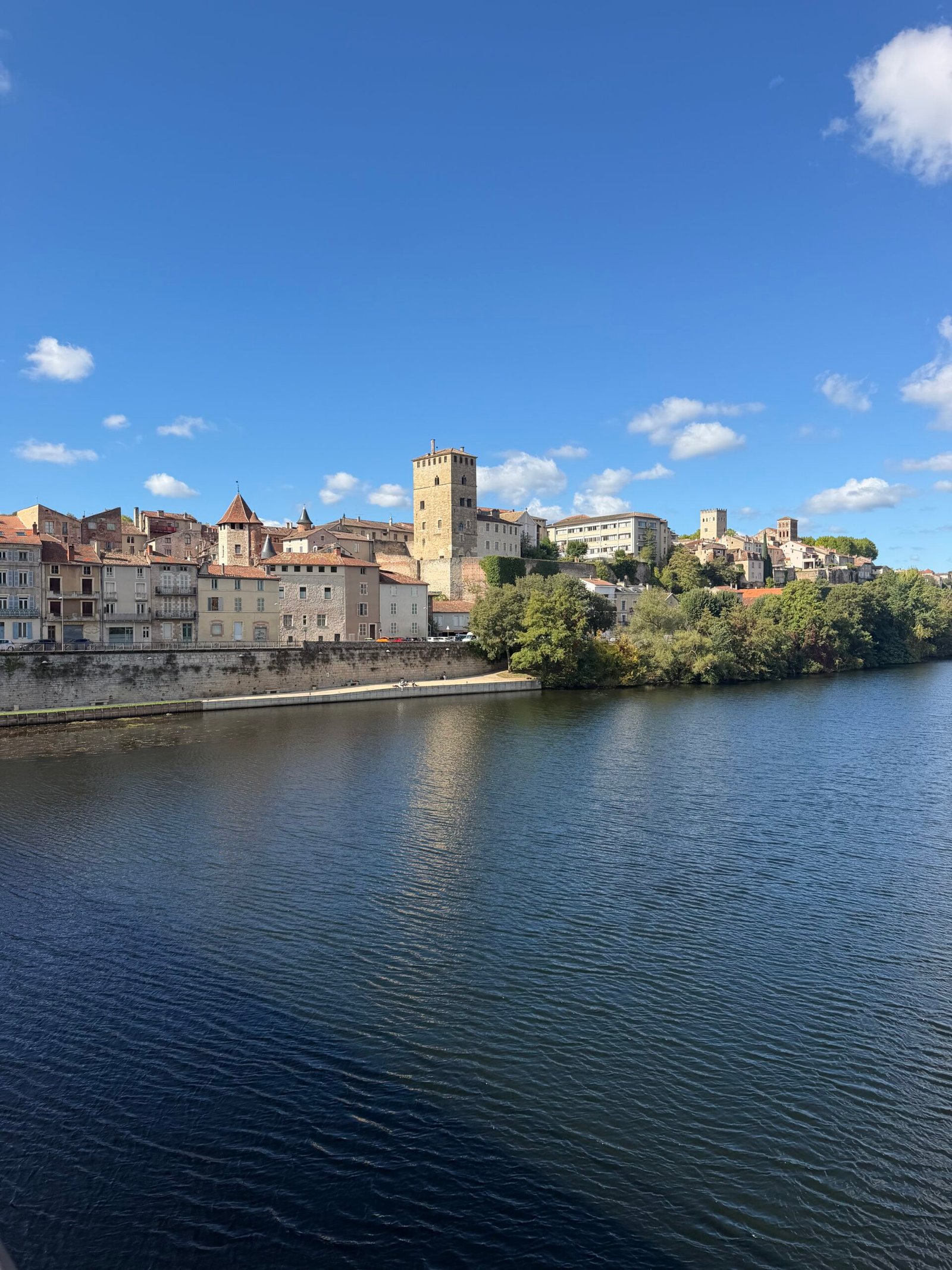
Rather than head straight home I took the long way round the city, along the river below the cathedral’s domes and the old quays, and finished at the Pont Valentré, the fortified medieval bridge whose three towers still stand guard over the Lot. Under the gilet I was in Giro pink, the colour of the Maglia Rosa, the race leader’s jersey – fitting enough for the opening stage of the week.
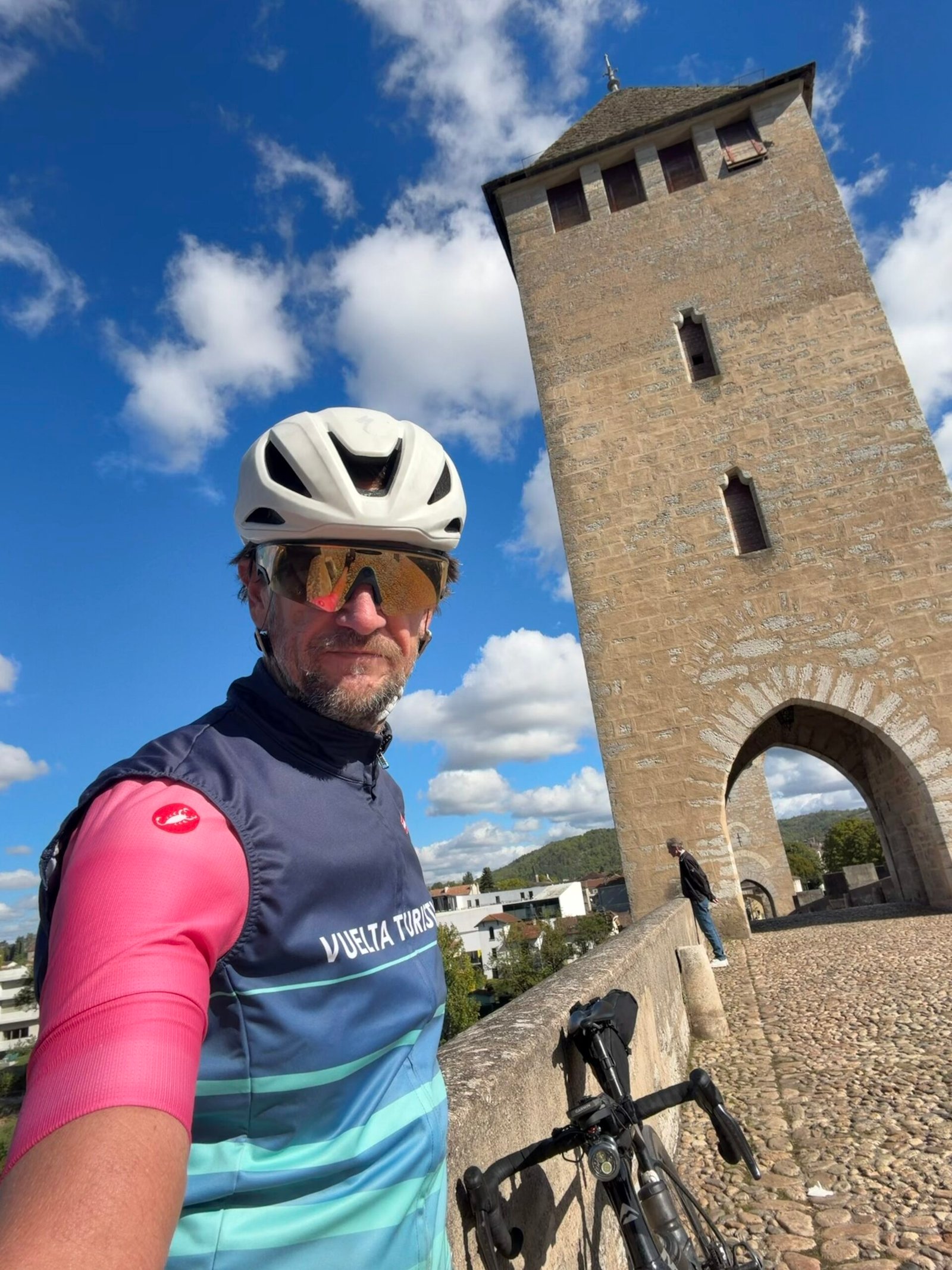

Rivers, cliffs, castles and hilltop villages, and hardly a car to spoil them – no shortage of spectacular scenery, and a very good first day in the Lot.
The numbers
- Ride: #1120 on Strava, ride 249 of 2026, day 129 of the streak
- Distance: 84.3 km
- Moving time: 3:32:18 (4:19:04 elapsed)
- Elevation: 940 m
- Average power: 146 W
- Heart rate: 119 bpm average, 159 max
- Cadence: 91 rpm average
- Calories: 2,139 kcal
- Highlight: Sarnau Climb – 1.60 km, 90 m, 6:26 at 240 W
- Conditions: cloudy to start, then sunshine, 8.6°C (feels like 6.9°C), 84% humidity, a 10 km/h north-north-westerly
- Year to date: Distance 20,473 km, Elevation Gain 208,923 m
The route
Download the GPX (start and finish trimmed for privacy)
The profile and climbs
8 climbs: 2 Cat 4, 6 uncategorised. Biggest: 3.8 km at 3.8%, 145 m of climbing (Cat 4, from km 52). Together the climbs account for 457 m of the ride’s ascent.
Cat 4 Uncategorised Pins mark where each Garmin ClimbPro climb starts. Hover or tap a pin for details.
Climbs table
| # | Starts at km | Length | Ascent | Avg grade | Time | Avg power | Category |
|---|---|---|---|---|---|---|---|
| 1 | 2.3 | 1.01 km | 30 m | 3% | 3:10 | 223 W | Uncategorised |
| 2 | 6.7 | 0.88 km | 40 m | 4.5% | 2:57 | 254 W | Uncategorised |
| 3 | 13.0 | 1.10 km | 39 m | 3.6% | 3:15 | 244 W | Uncategorised |
| 4 | 19.3 | 0.60 km | 32 m | 5.3% | 2:00 | 284 W | Uncategorised |
| 5 | 21.8 | 0.72 km | 22 m | 3% | 2:50 | 213 W | Uncategorised |
| 6 | 40.8 | 3.36 km | 118 m | 3.5% | 10:49 | 235 W | Cat 4 |
| 7 | 52.4 | 3.83 km | 145 m | 3.8% | 12:11 | 252 W | Cat 4 |
| 8 | 69.0 | 0.95 km | 31 m | 3.3% | 3:17 | 187 W | Uncategorised |