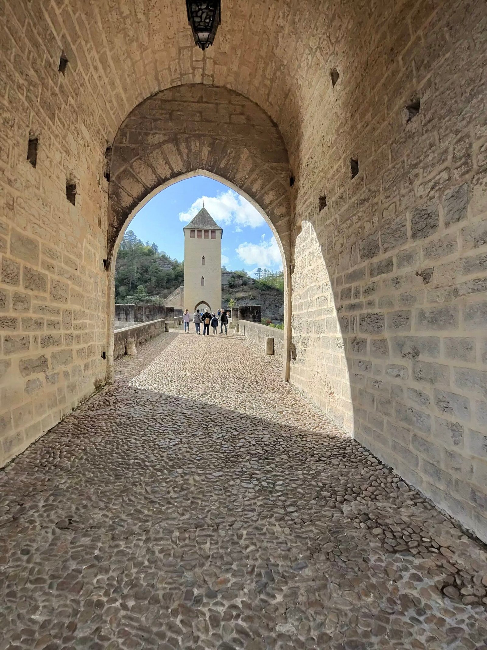
Day four in the Lot. After yesterday’s long haul down to the Dordogne, I rolled out of Cahors at three in the afternoon and straight across the Pont Valentré, under the arch of its middle tower, with a loop south into the hills to Castelnau-Montratier in mind and the idea of being home by sunset. The forecast was sunshine and showers, with a fresh west-north-westerly blowing across the causse.
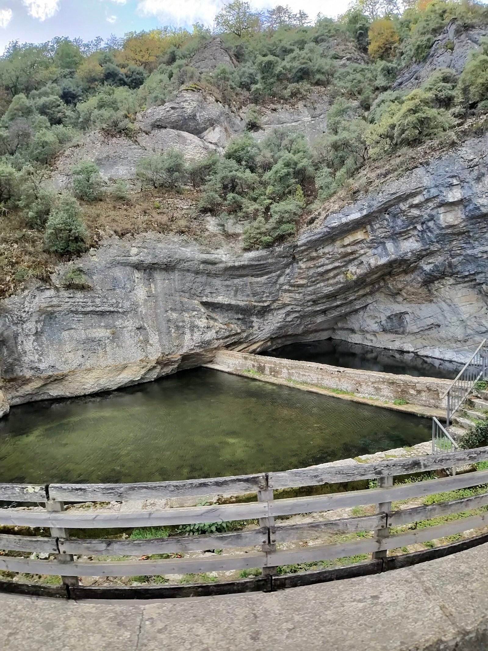
On the far bank I stopped at the Fontaine des Chartreux, the deep green spring that once supplied Roman Cahors, and looked back at the bridge across the Lot before the real work began.

That came straight away. Route de la Marchande climbs out of the valley for just over 4 km at a steady 4%, Garmin’s only Cat 3 of the day, and I kept it honest at around 190 W all the way up onto the plateau.
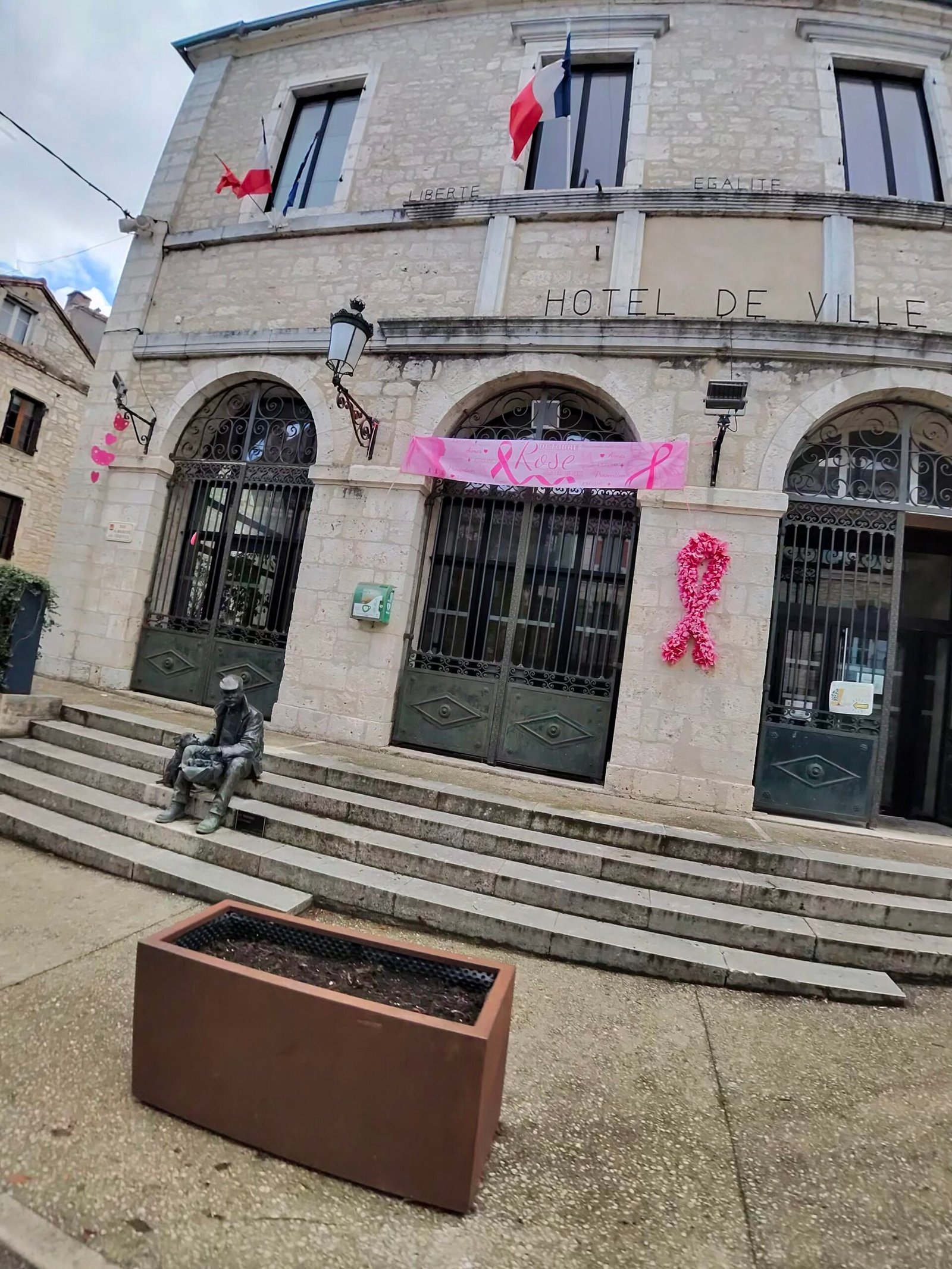
Up top the roads rolled across open farmland under a sky that couldn’t make up its mind: grey and spitting one minute, blue the next. Lalbenque, the truffle town, was the first village of note, and its Hôtel de Ville was dressed in pink ribbons for Octobre Rose, France’s month-long campaign to encourage breast-cancer screening. It turned out to be the theme of the day.
From there it was south past Montdoumerc to Belfort-du-Quercy for a short pause, then across the line into Tarn-et-Garonne. These were some of the quietest roads of the trip: by the time I got home just 88 vehicles had passed me.
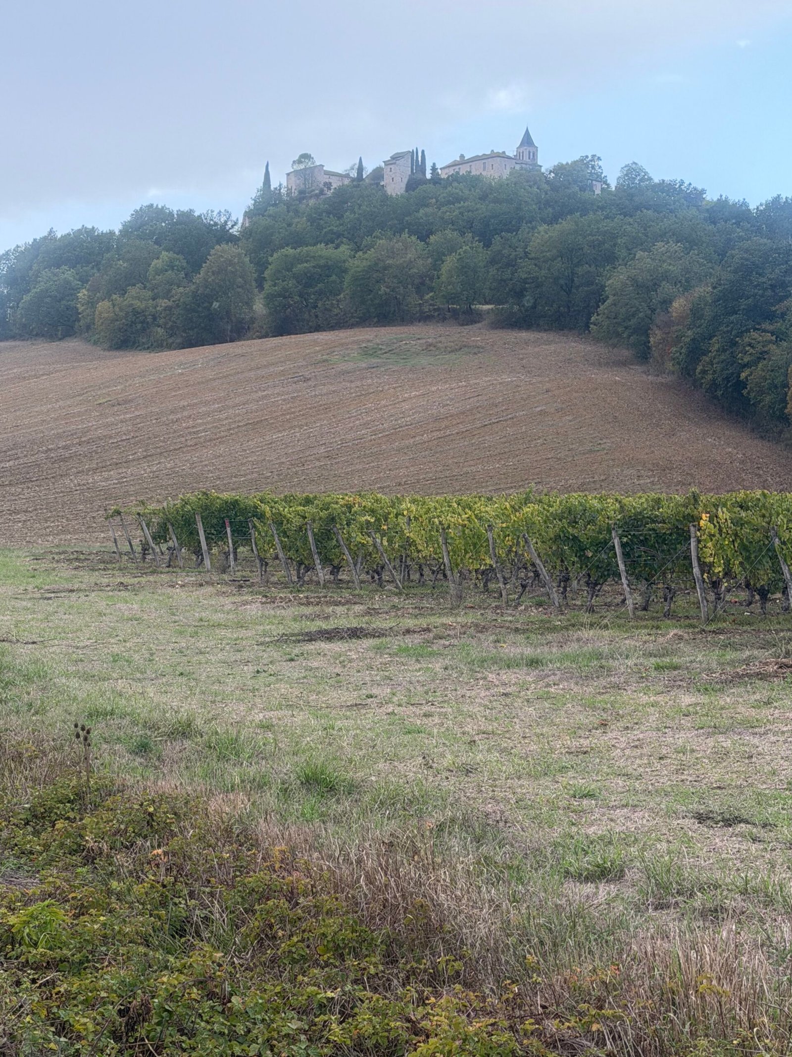
A seven-minute breather by an old bell tower halfway up a Cat 4 near Montpezat-de-Quercy, and I was heading west again, back into the Lot. The two highlights of the afternoon came in quick succession: Flaugnac, perched on its hill above the vineyards, and then the first sight of Castelnau-Montratier’s domed church on the skyline.
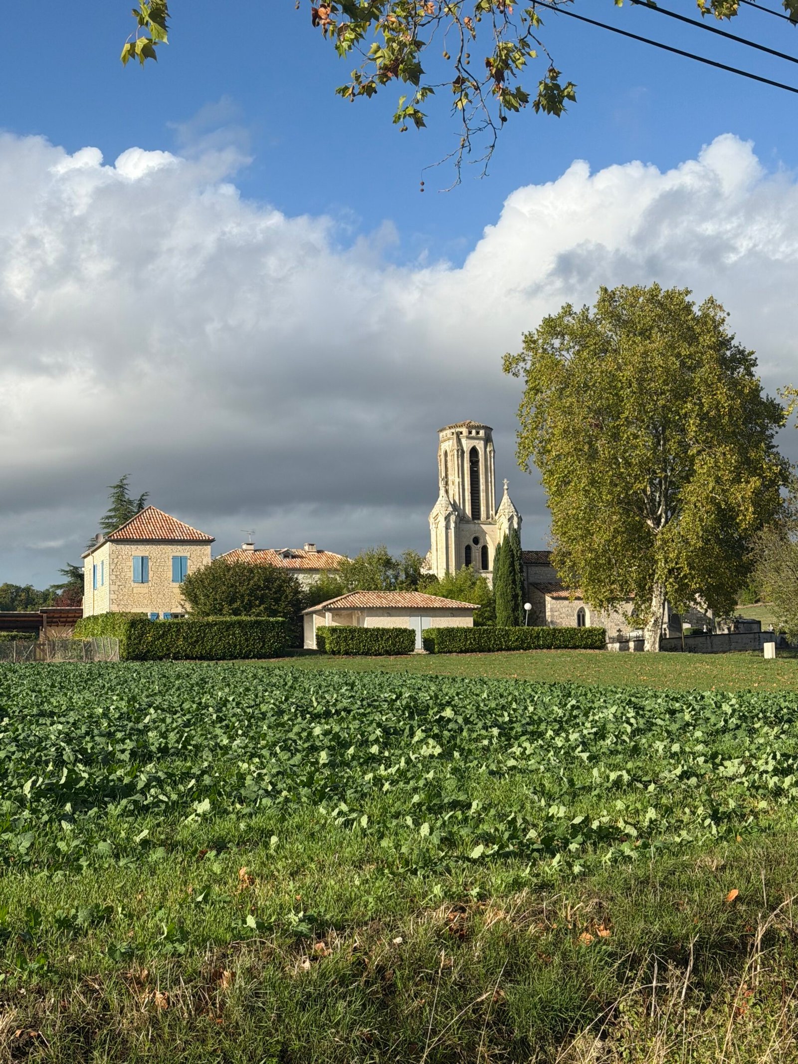
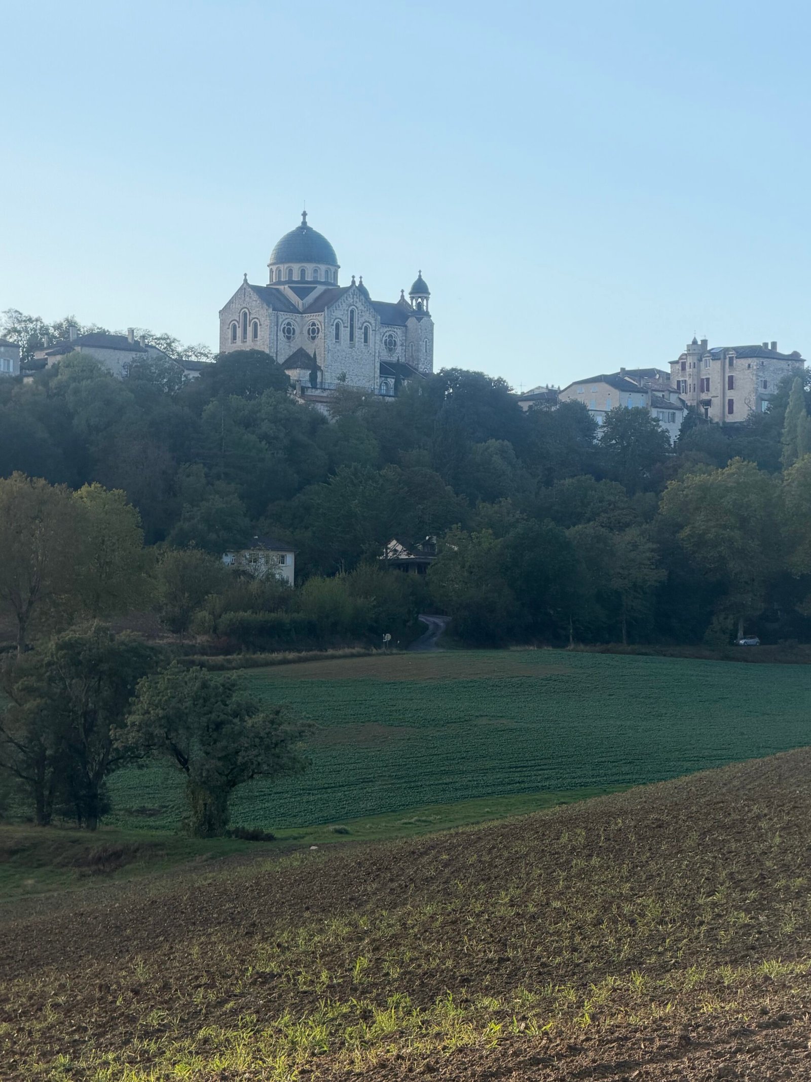

The climb into Castelnau-Montratier was another Cat 4, three kilometres at just under 4% up to the hilltop town I’d been watching on the skyline. At the top stands the Église Saint-Martin, rebuilt at the end of the 19th century in a Romanesque-Byzantine style, with a dome added in the 1930s that makes it look like a little country cousin of the Sacré-Cœur. In the low evening sun it was the highlight of the ride.
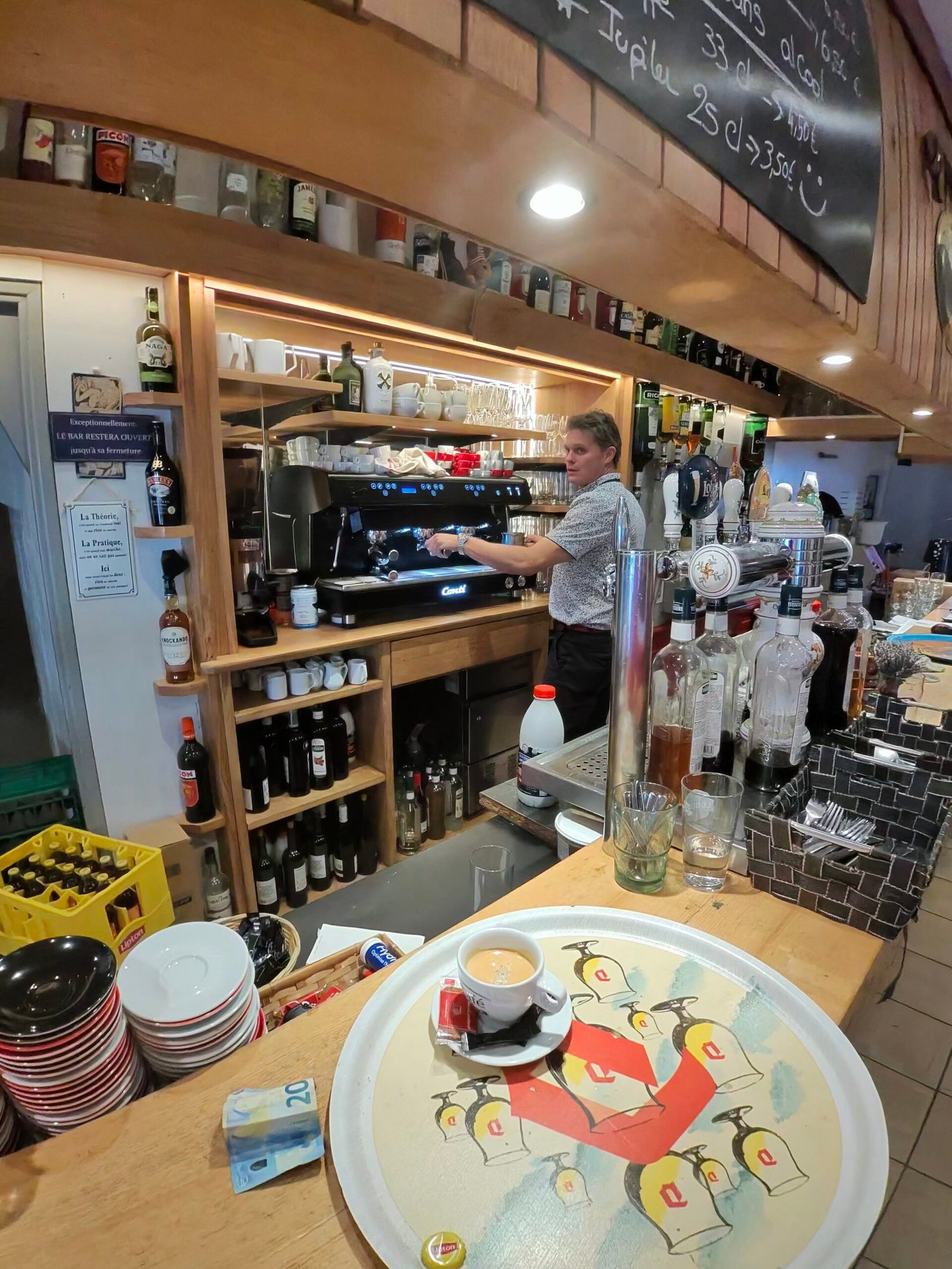
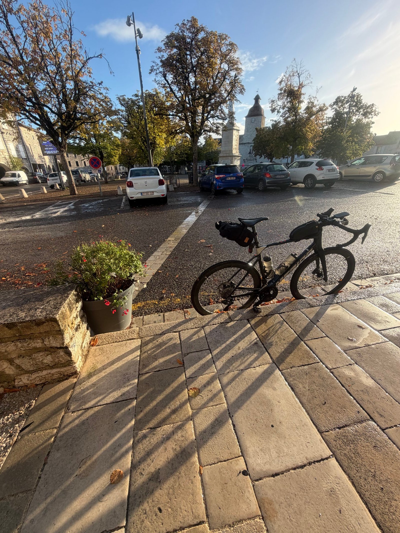
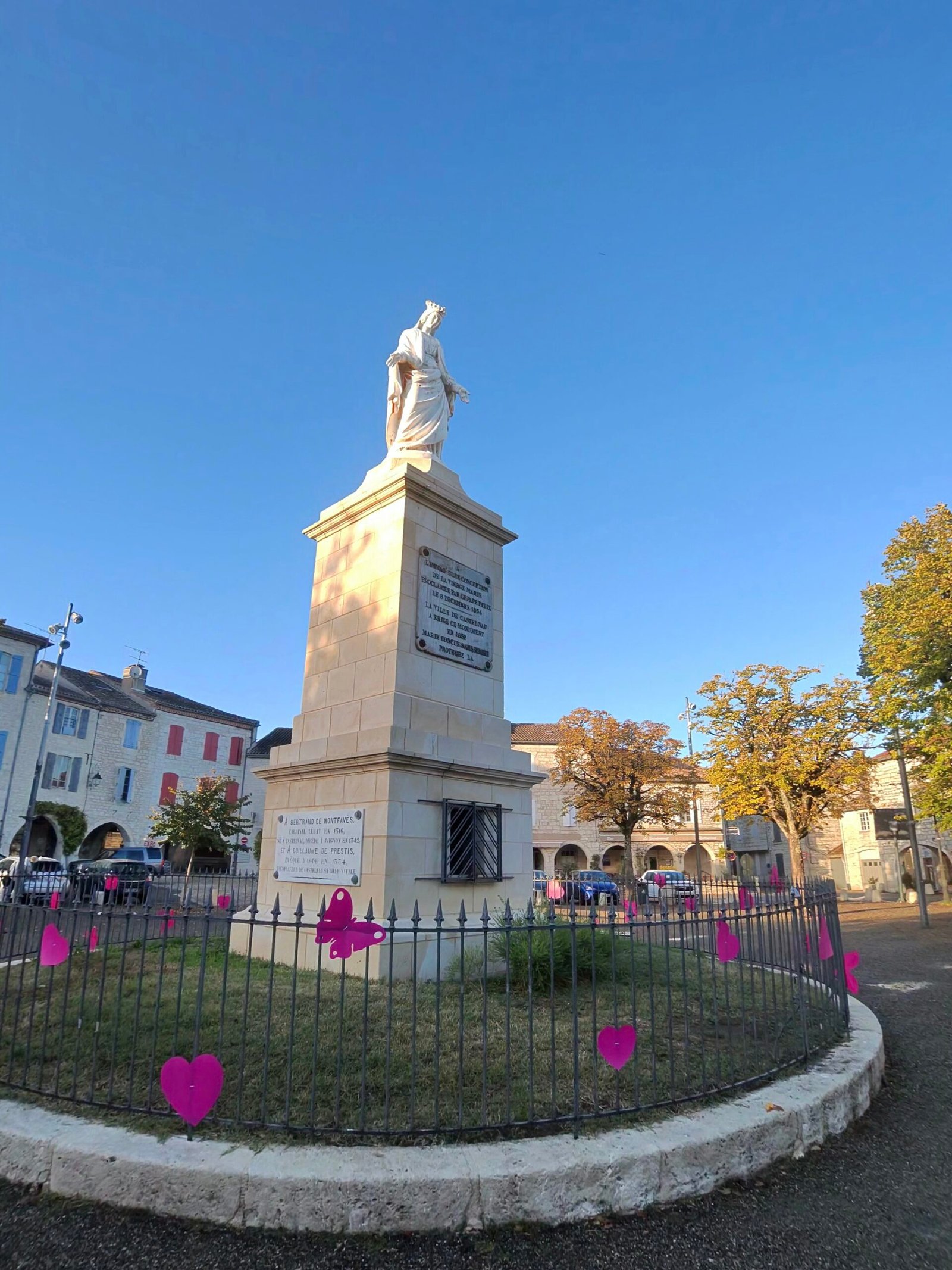
I spent nearly half an hour in the town, with a coffee at Le 17, the bar-restaurant under the arcades of Place Gambetta, and the bike parked on the pavement outside. More pink hearts were scattered round the statue in the square: Octobre Rose had got here too.
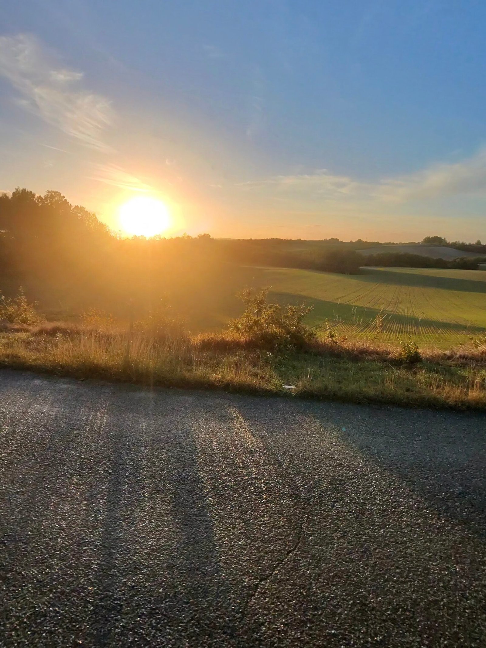
The way home went north over La Vitarelle, the last of the Cat 4s, and then along the long, gentle road back through Lhospitalet. The sun went down while I was still on the ridge, turning the fields gold, and the last few kilometres dropped back into the valley in the dusk.
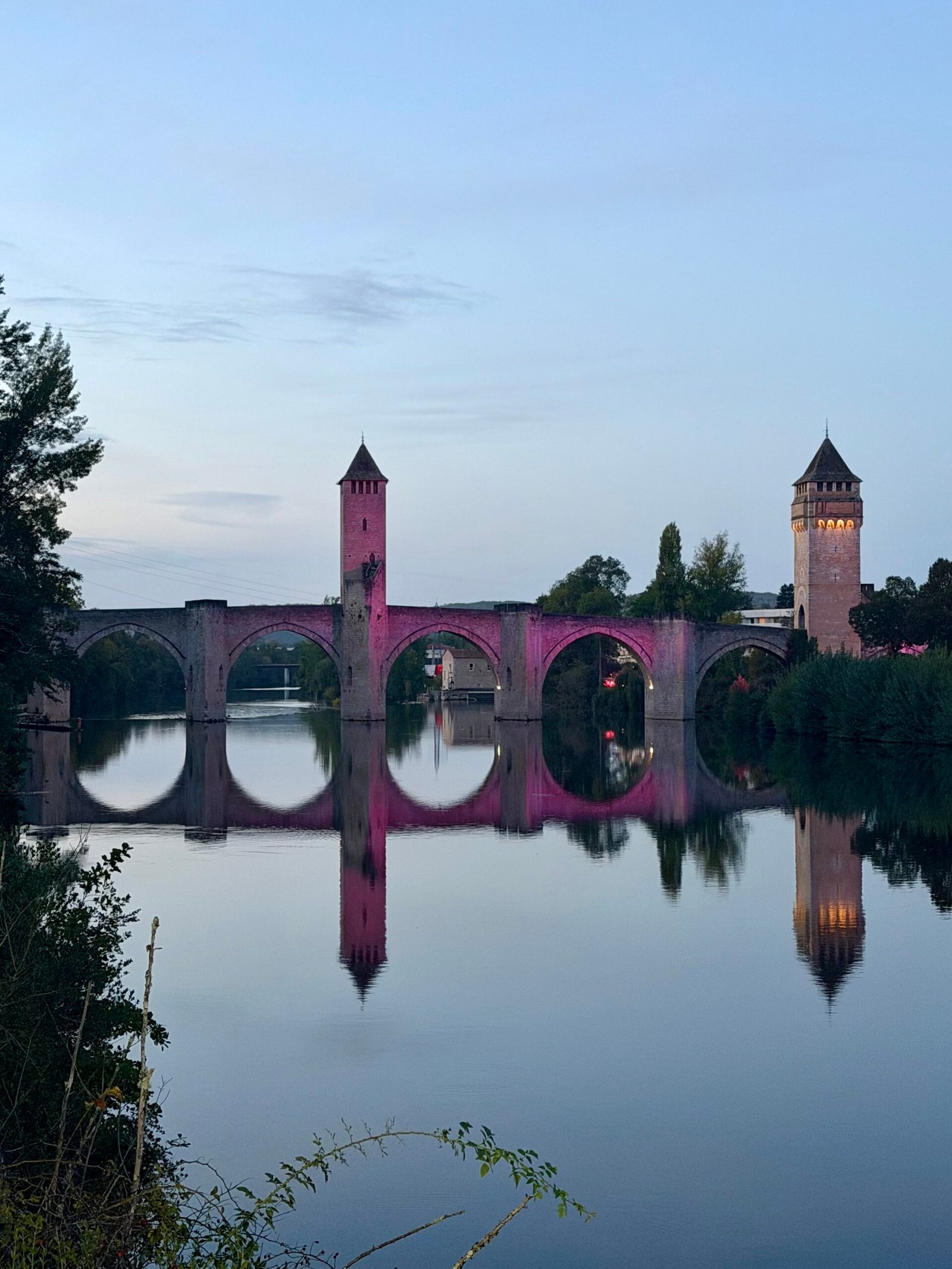
Back in Cahors the Pont Valentré was lit up pink for Octobre Rose and mirrored perfectly in the still water of the Lot: the same bridge I’d ridden under at the start, now in its evening colours. Seventy-seven kilometres, nine climbs and a thread of pink from start to finish – a good way to spend a Wednesday afternoon.
The numbers
- Ride: #1123 on Strava, ride 252 of 2026, day 132 of the streak
- Distance: 76.9 km
- Moving time: 3:22:09 (4:19:33 elapsed)
- Elevation: 943 m
- Average power: 131 W
- Heart rate: 111 bpm average, 145 max
- Cadence: 91 rpm average
- Calories: 1,858 kcal
- Highlight: Route de la Marchande, Cahors – 4.11 km, 156 m, 15:10 at 191 W
- Conditions: sunshine and showers, 14.4°C, 72% humidity, a fresh 20 km/h WNW wind
- Year to date: Distance 20,749 km, Elevation Gain 212,072 m
The route
Download the GPX (start and finish trimmed for privacy)
The profile and climbs
9 climbs: 1 Cat 3, 3 Cat 4, 5 uncategorised. Biggest: 4.2 km at 3.8%, 161 m of climbing (Cat 3, from km 2). Together the climbs account for 663 m of the ride’s ascent.
Cat 3 Cat 4 Uncategorised Pins mark where each Garmin ClimbPro climb starts. Hover or tap a pin for details.
Climbs table
| # | Starts at km | Length | Ascent | Avg grade | Time | Avg power | Category |
|---|---|---|---|---|---|---|---|
| 1 | 1.7 | 4.18 km | 161 m | 3.8% | 15:29 | 189 W | Cat 3 |
| 2 | 9.4 | 0.51 km | 13 m | 2.6% | 1:15 | 200 W | Uncategorised |
| 3 | 14.2 | 0.86 km | 58 m | 6.7% | 4:05 | 236 W | Uncategorised |
| 4 | 25.6 | 1.80 km | 70 m | 3.9% | 6:12 | 196 W | Uncategorised |
| 5 | 35.3 | 2.07 km | 94 m | 4.5% | 14:52 | 218 W | Cat 4 |
| 6 | 48.8 | 3.12 km | 121 m | 3.9% | 43:51 | 178 W | Cat 4 |
| 7 | 55.2 | 2.50 km | 86 m | 3.5% | 8:18 | 209 W | Cat 4 |
| 8 | 59.6 | 0.58 km | 20 m | 3.5% | 1:47 | 221 W | Uncategorised |
| 9 | 63.1 | 0.90 km | 40 m | 4.4% | 3:31 | 208 W | Uncategorised |