
Day three in the Algarve was supposed to be a rest day. After two big days out west I planned something shorter and inland, heading east from Silves into the hills between the coast and the serra. I rolled out just before quarter to eleven on a clear morning that was already 24°C, and it only got hotter.
The first stretch was the easy bit: down out of Silves and across flat farmland to Algoz, where I took a half-hour break before the riding proper began. From there the road wound east to Paderne, and soon after that it started to climb.
The climb up to Alto da Picota was the hardest of the day and the bit I hadn’t really bargained for: just over 1.5 km at around 8%, ten minutes well above the Zone 2 I’d promised myself, with the top at about 310 m. In that heat it felt a lot longer, and by the end of the day Garmin reckoned I’d sweated out over 4 litres – a lot for a rest day. The long descent off Picota was a welcome breather, and after a rattle over the railway the road ran on towards Loulé.

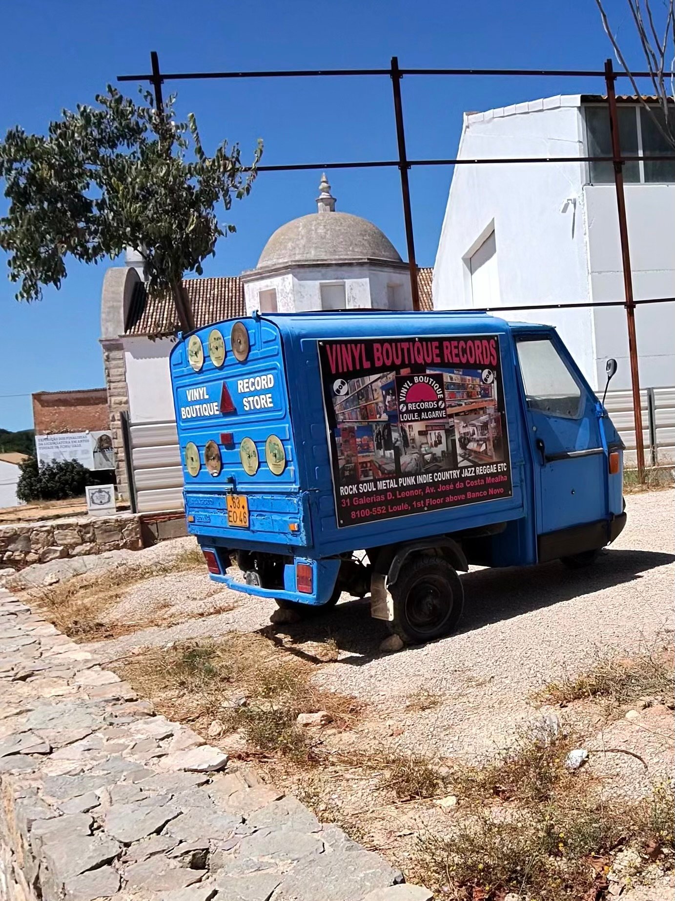
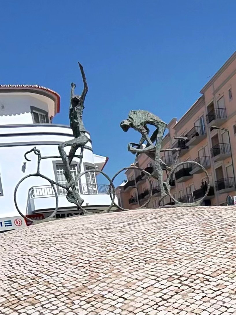
Loulé was the far end of the loop and the main stop of the day. On the way in I passed a little blue three-wheeler doing duty as a rolling advert for a vinyl record shop, then a roundabout topped with statues of cyclists, which felt like a proper welcome.
I stopped for 40 minutes in the old town to refuel, with the castle walls just round the corner, before heading north out of town for the second half of the loop.
Refuelled, I climbed to Querença and on up to Eira da Cevada, a long, steady drag rather than a wall, and at around 350 m the highest point of the ride, 60 km in. Then it was west through the hills above Salir and Benafim, where the road kept rising and falling far more than I’d expected. So much for an easy day. Just short of Alte I passed a wall hung with rusty chainsaw chains.


In Alte I found the Germano biciArte Café, a café made for cyclists: a bike on the wall outside, and inside a white track bike mounted on a Portuguese flag, yellow jerseys and old bike wheels turned into ceiling lights. It’s named after the owner’s grandfather, who rented out bikes on the same spot back in the 1930s. I made the most of it and stayed for over an hour. It was a rest day, after all.
From Alte the road dropped west through São Bartolomeu de Messines towards home, but I had one more detour in mind. The Arade Dam turned out to be the cherry on the cake: blue water stretching away between the hills, with the low sun glinting off it.

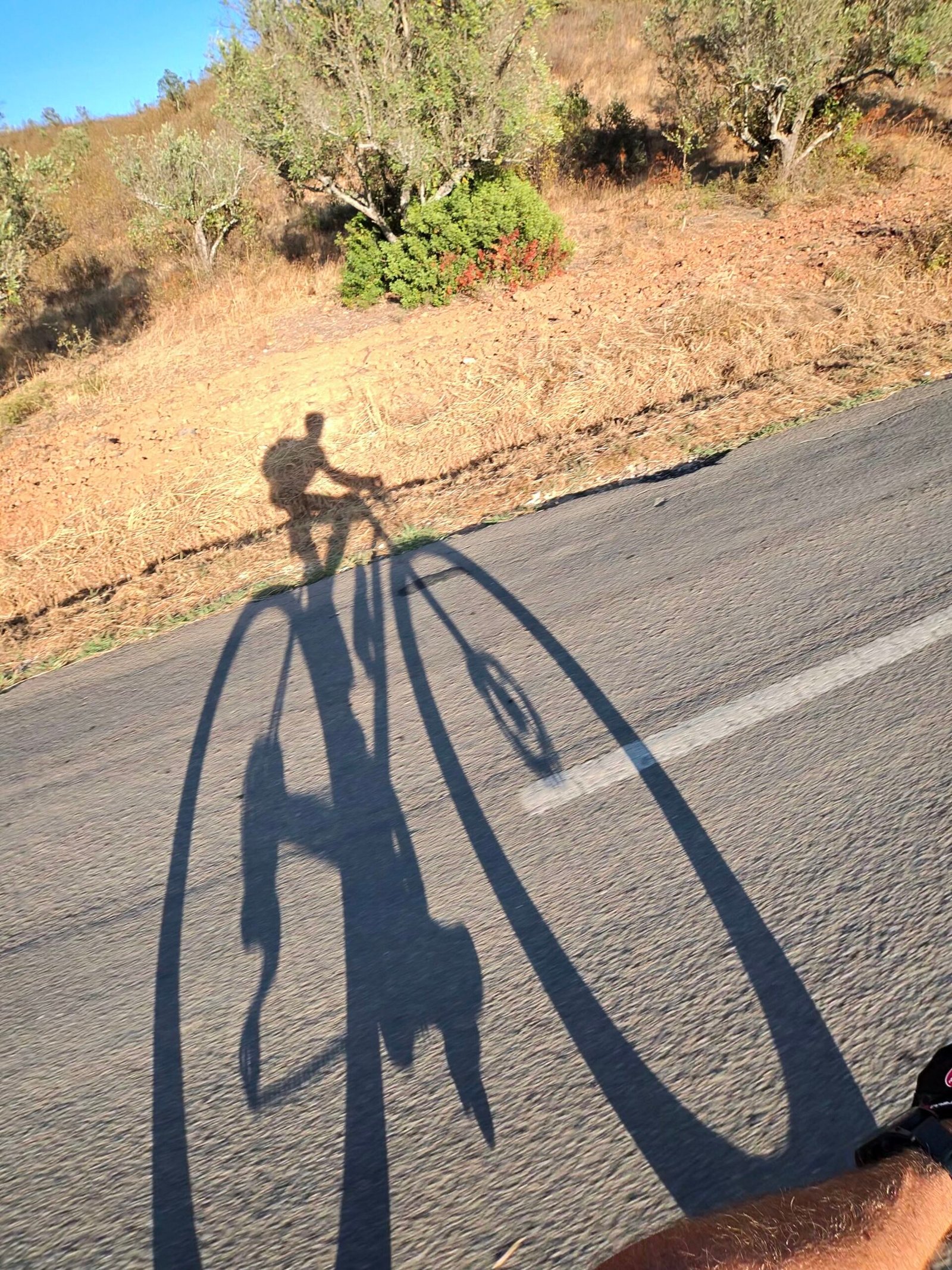

The last few kilometres dropped back down towards Silves, over the water at the edge of town with the sun nearly on the horizon, more than eight hours after I’d set off. The roads had been quiet all day, too: just 200 vehicles passed me in nearly 118 km. For a rest day it had over 1,500 m of climbing in it, but with three long stops it never felt like a slog, just a lot hotter than any rest day should be. Just as well, because tomorrow’s plan was a long one: east towards Spain.
The numbers
- Ride: #1080 on Strava, ride 209 of 2026, day 89 of the streak
- Distance: 117.6 km
- Moving time: 5:49:35 (8:13:48 elapsed)
- Elevation: 1,541 m
- Average power: 109 W
- Heart rate: 103 bpm average, 153 max
- Cadence: 82 rpm average
- Calories: 2,768 kcal
- Highlight: Alto da Picota climb – 1.54 km, 130 m, 10:05 at 218 W
- Conditions: clear and hot, 24.1°C at the start, 61% humidity, northerly breeze (about 16 km/h)
- Year to date: Distance 16,553 km, Elevation Gain 172,682 m
The route
Download the GPX (start and finish trimmed for privacy)
The profile and climbs
20 climbs: 3 Cat 4, 17 uncategorised. Biggest: 1.8 km at 7.1%, 124 m of climbing (Cat 4, from km 34). Together the climbs account for 902 m of the ride’s ascent.
Cat 4UncategorisedPins mark where each Garmin ClimbPro climb starts. Hover or tap a pin for details.
Climbs table
| # | Starts at km | Length | Ascent | Avg grade | Time | Avg power | Category |
|---|---|---|---|---|---|---|---|
| 1 | 2.0 | 2.77 km | 89 m | 3.2% | 10:55 | 170 W | Cat 4 |
| 2 | 9.1 | 0.54 km | 14 m | 2.6% | 1:55 | 158 W | Uncategorised |
| 3 | 25.8 | 1.86 km | 71 m | 3.8% | 8:10 | 171 W | Uncategorised |
| 4 | 31.0 | 0.83 km | 36 m | 4.3% | 3:24 | 194 W | Uncategorised |
| 5 | 34.1 | 1.75 km | 124 m | 7.1% | 10:13 | 216 W | Cat 4 |
| 6 | 40.5 | 1.39 km | 37 m | 2.7% | 5:29 | 168 W | Uncategorised |
| 7 | 45.1 | 0.51 km | 19 m | 3.7% | 2:12 | 154 W | Uncategorised |
| 8 | 48.3 | 1.04 km | 38 m | 3.7% | 4:02 | 208 W | Uncategorised |
| 9 | 54.5 | 1.48 km | 62 m | 4.2% | 6:32 | 175 W | Uncategorised |
| 10 | 58.3 | 2.45 km | 89 m | 3.7% | 9:37 | 181 W | Cat 4 |
| 11 | 66.5 | 0.75 km | 16 m | 2.2% | 2:37 | 165 W | Uncategorised |
| 12 | 69.0 | 0.51 km | 21 m | 4% | 2:15 | 182 W | Uncategorised |
| 13 | 75.0 | 0.83 km | 42 m | 5.1% | 4:13 | 180 W | Uncategorised |
| 14 | 76.3 | 1.12 km | 30 m | 2.7% | 4:52 | 146 W | Uncategorised |
| 15 | 80.6 | 0.61 km | 41 m | 6.8% | 3:33 | 203 W | Uncategorised |
| 16 | 83.0 | 1.70 km | 52 m | 3% | 8:52 | 138 W | Uncategorised |
| 17 | 85.4 | 0.57 km | 11 m | 1.9% | 1:49 | 137 W | Uncategorised |
| 18 | 97.2 | 1.06 km | 31 m | 2.9% | 4:20 | 162 W | Uncategorised |
| 19 | 112.0 | 0.69 km | 27 m | 3.9% | 2:41 | 196 W | Uncategorised |
| 20 | 116.2 | 1.49 km | 52 m | 3.5% | 5:19 | 219 W | Uncategorised |