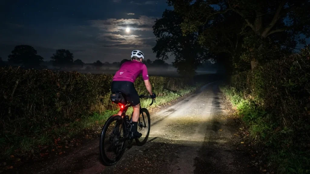
Ride 261 of the year and day 141 of the streak started four minutes before midnight on Friday, and the plan was simple: just keep the streak going. A short loop, an easy pace and Nickelback’s new tunes on the playlist. It was cloudy and still, 9°C with 92% humidity and barely a breath of easterly wind, but there was a lovely half moon up there to keep me company.
I headed west along the ridge first, the easy miles ticking by in the dark, then let the bike run down the hill into Yalding. The lanes were as empty as they ever get: over the whole ride just 10 vehicles passed me, roughly one every seven minutes.
Out of Yalding, Kenward Road gave the first gentle drag of the night up towards Nettlestead, and a second short rise out of Nettlestead followed before the road tipped down again and swung south to Hale Street. From there it was flat river-valley country: down to Laddingford, along Gravelly Ways and back up the valley into Yalding, with the music doing most of the work.
Then the sting in this loop’s tail. From Yalding I rolled east to Hunton and turned for home up Hunton Hill, my local hill and the only climb on the route Garmin rates, a Category 4. The steep middle section is where it bites, and I took the segment in 4:39 at 246 W, well above my Zone 2 ceiling for a few minutes, with the heart rate pushed into the 140s.
From the top it was only a short spin home along the ridge, a little over 25 km in the bag and the streak safely into day 141 – a half moon overhead and a Nickelback chorus still going round in my head.
The numbers
- Ride: #1132 on Strava, ride 261 of 2026, day 141 of the streak
- Distance: 25.2 km
- Moving time: 1:08:51 (1:12:07 elapsed)
- Elevation: 242 m
- Average power: 122 W
- Heart rate: 114 bpm average, 152 max
- Cadence: 87 rpm average
- Calories: 600 kcal
- Highlight: Hunton Hill – 0.82 km, 69 m, 4:39 at 246 W
- Conditions: dark, cloudy with a half moon, 8.9°C (feels like 9.3°C), 92% humidity, barely a breath of easterly wind
- Year to date: Distance 21,248 km, Elevation Gain 216,847 m
The route
Download the GPX (start and finish trimmed for privacy)
The profile and climbs
3 climbs: 1 Cat 4, 2 uncategorised. Biggest: 1.1 km at 8.1%, 88 m of climbing (Cat 4, from km 23). Together the climbs account for 138 m of the ride’s ascent. Climbs are the ones Garmin’s ClimbPro found on earlier rides of this route, matched by GPS; length, ascent, time and power are from this ride.
Cat 4 Uncategorised Pins mark where each Garmin ClimbPro climb starts. Hover or tap a pin for details.
Climbs table
| # | Starts at km | Length | Ascent | Avg grade | Time | Avg power | Category |
|---|---|---|---|---|---|---|---|
| 1 | 7.7 | 0.90 km | 31 m | 3.4% | 3:11 | 208 W | Uncategorised |
| 2 | 10.2 | 0.70 km | 19 m | 2.7% | 2:02 | 211 W | Uncategorised |
| 3 | 23.3 | 1.09 km | 88 m | 8.1% | 6:01 | 244 W | Cat 4 |